The best walks and hikes around Saham Toney
4.8
(161)
948
hikers
51
hikes
Hiking around Saham Toney explores a landscape of open farmland, woodland, and common land. The area is characterized by subtle valley topography and distinctive geological features, including glacial "pingo" ponds found at Thompson Common. Most routes are relatively flat, making them accessible for a wide range of fitness levels.
Best hiking trails around Saham Toney
- The most popular hiking route is Wanderers Woodland loop from Bradenham, a 3.1 miles (5.0 km) trail that takes 1 hour 15 minutes to complete. This is an easy route through pleasant woodland terrain.
- Another top favourite among local hikers is Hiking loop from Ashill, a moderate 5.4 miles (8.7 km) path. This route offers varied scenery through the local countryside.
- Local hikers also love the Wayland Wood loop from Wayland Wood, a 6.8 miles (10.9 km) trail leading through woodland, often completed in about 2 hours 40 minutes.
- Hiking around Saham Toney is defined by woodland paths, open farmland, and routes across common land featuring glacial ponds. The network of public footpaths offers options for both short, easy walks and longer, moderate hikes.
- The routes in Saham Toney are highly rated by the komoot community with an average score of 4.8 stars from over 140 reviews. More than 900 hikers have used komoot to explore Saham Toney's varied terrain.
Last updated: July 9, 2026
4.0
(1)
8
hikers
8.32km
02:10
60m
60m
Moderate hike. Good fitness required. Easily-accessible paths. Suitable for all skill levels.
5.0
(1)
5
hikers
8.50km
02:13
60m
60m
Moderate hike. Good fitness required. Easily-accessible paths. Suitable for all skill levels.

Sign up for free
3
hikers
8.74km
02:17
60m
60m
Moderate hike. Good fitness required. Easily-accessible paths. Suitable for all skill levels.
5.0
(2)
2
hikers
5.01km
01:18
30m
30m
Easy hike. Great for any fitness level. Easily-accessible paths. Suitable for all skill levels.
5.0
(1)
4
hikers
10.9km
02:46
30m
30m
Moderate hike. Good fitness required. Easily-accessible paths. Suitable for all skill levels.
Get access to more routes and recommendations from other explorers.
Sign up for free
Already have an account?
Our route recommendations are based on thousands of hikes, rides, and runs completed by other people on komoot.
Start today with a free account
Your next adventure awaits.
Login or Signup
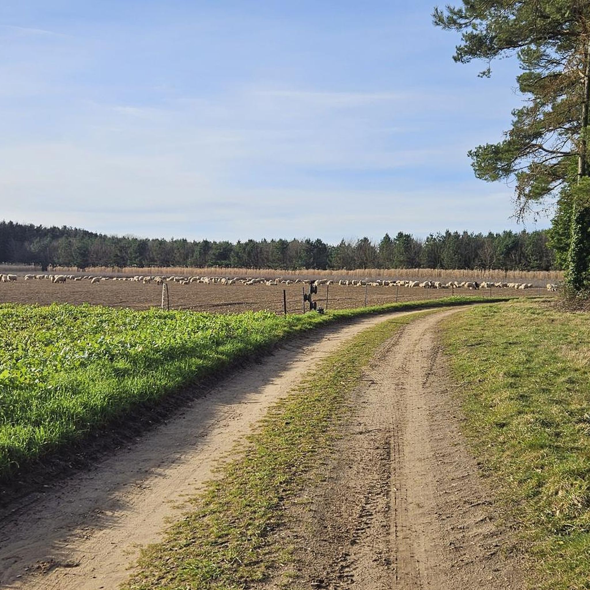

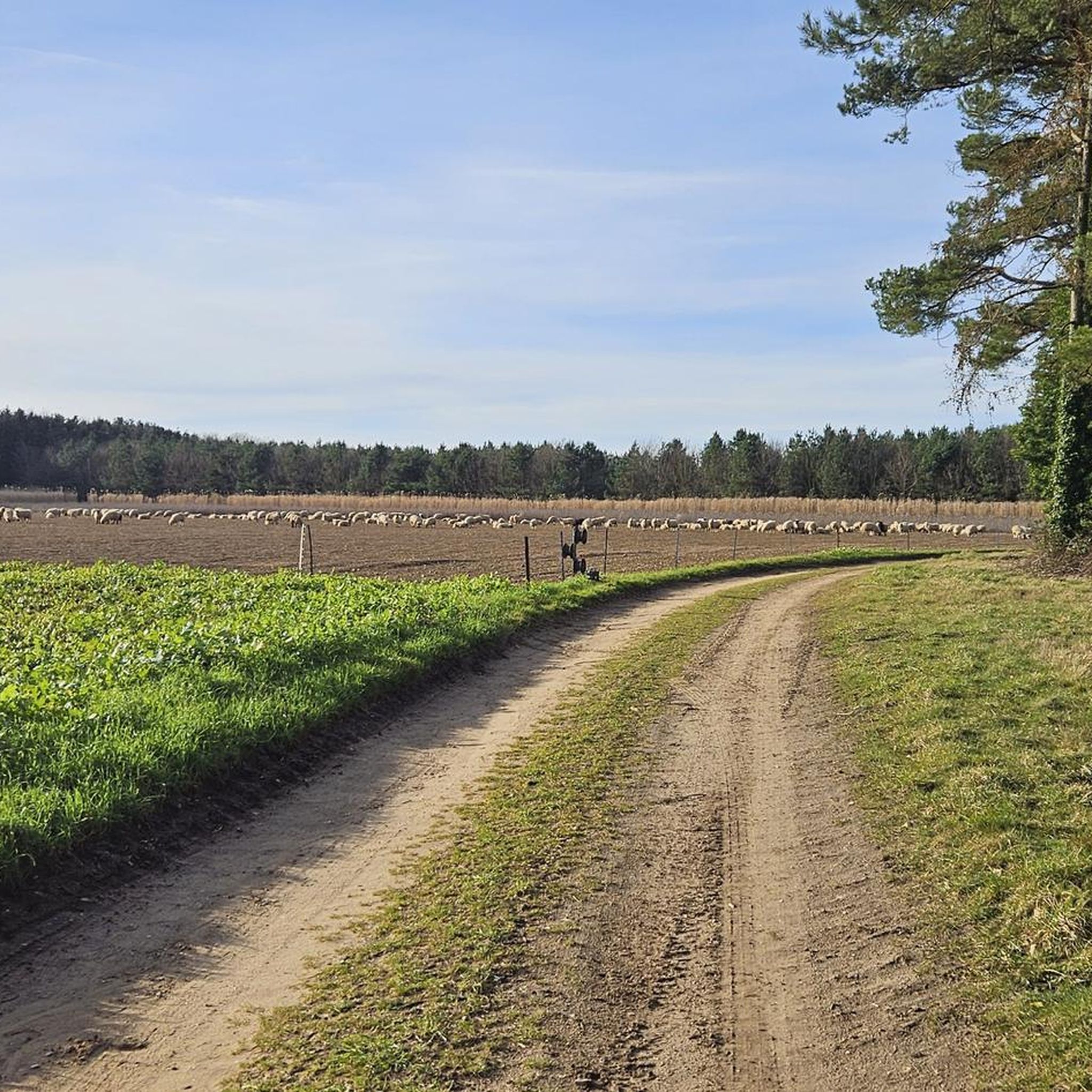
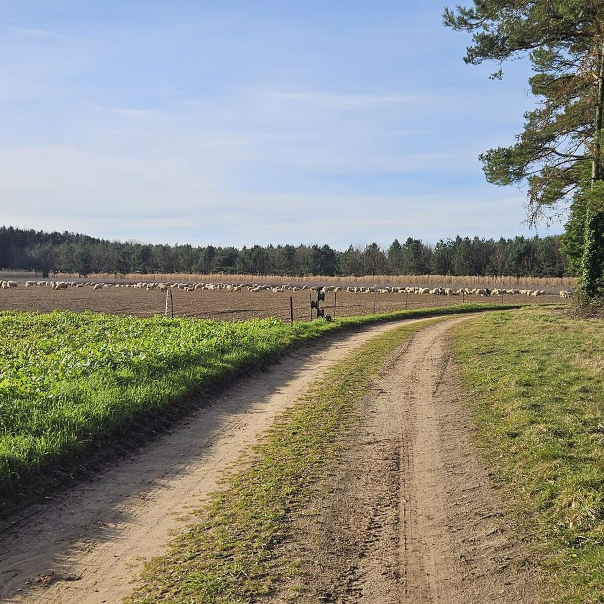
Tips from the Community

In 1604 the whole roof of All Saints church was carried away in a storm. In 1737 there was a restoration, with the nave walls being raised three feet. The chancel was re-roofed at a lower level than before, which left the east window in its ogee-gabled wall with nothing behind its upper tracery of 14th century reticulated pattern. It wasn’t until the beginning of the 20th century that the roof was restored to its full height. The church walls show many signs of old windows being blocked and new ones cut through in different places, and buttresses have been added. The tower is basically 12th century; in the 15th century an octagonal belfry replaced the earlier one. Near the top of the flint circular part is a band of stone and above that there are 19th century bricks inside, so maybe the belfry and parapet were restored then. On the west wall of the tower, at about ten feet high, is a slit window, with dressed stone for its frame and a single stone for its lintel, in which an arch is cut. More: https://www.roundtowerchurches.net/norfolk/norfolk-s-y/south-pickenham-2/
0
0

This combined wind and watermill is one-of-a-kind in Norfolk. Built in 1821 on the site of an earlier watermill, its water-wheel once turned two pairs of stones on the first floor whilst its sails turned two pairs of stones on the fourth floor. Unfortunately, the mill is not open to the public. However, it is still worth looking at the building from the outside and getting a photo.
0
0
This combined wind and watermill is one-of-a-kind in Norfolk. Built in 1821 on the site of an earlier watermill, its water-wheel once turned two pairs of stones on the first floor whilst its sails turned two pairs of stones on the fourth floor. Unfortunately, the mill is not open to the public. However, it's still worth admiring the building from the outside and getting a photo.
3
0
Be sure to check out this quirky little library in an old red telephone box.
2
0

The church, saved from demolition in the nineties, once stood within the now disappeared village of Houghton. During renovation, Romanesque wall paintings of international significance were discovered. The Throne of Grace trinity is one of the earliest known examples in Europe. Unfortunately the church was locked at the time of our visit.
6
0
Frequently Asked Questions
Are there any good circular walks starting from Saham Toney?
Yes, the area is well-suited for circular hikes. Many routes start and end in nearby villages, offering a convenient day out. A great example is the Hiking loop from Ashill, a moderate walk of about 8.7 km that takes you through the typical Norfolk landscape of fields and quiet lanes.
What is the terrain like on hikes around Saham Toney?
The hiking is generally easy and flat, making it accessible for most fitness levels. You'll encounter a mix of public footpaths across open farmland, woodland tracks, and paths across common land. The defining feature is the gentle, rolling countryside without any significant hills.
Are the trails suitable for hiking with a dog?
Most public footpaths and trails in the area are suitable for walking with a dog. However, it's important to keep your dog on a lead, especially when crossing farmland with livestock. In sensitive nature reserves like Thompson Common, keeping dogs under close control is essential to protect ground-nesting birds and other wildlife.
Can you recommend a shorter, family-friendly walk?
For a pleasant walk that's suitable for the whole family, the Wanderers Woodland loop from Bradenham is an excellent choice. It's a gentle 5 km walk through lovely woodland, which is usually manageable for children and those looking for a less strenuous outing.
What are the 'pingo ponds' I've heard about?
The pingo ponds are a unique geological feature of this region, particularly around Thompson Common. They are small, shallow pools formed by the melting of ice lenses at the end of the last ice age. Hiking here allows you to see a remarkable network of around 400 of these pools, which create a rare and valuable habitat for wildlife.
Are there any long-distance paths near Saham Toney?
Yes, the village is conveniently located near two major Norfolk trails. The Nar Valley Way is a 33-mile path following the River Nar, and the Wensum Way is a 12-mile route connecting to it. These offer opportunities for more ambitious hikers to explore the wider central Norfolk landscape.
What kind of wildlife might I see while hiking?
The diverse habitats support a variety of wildlife. Thompson Common is a key site for dragonflies and damselflies in the summer and is home to the rare northern pool frog. In the woodlands, you might spot roe deer, while otters are known to inhabit the quieter waterways. The area is also excellent for birdwatching, with various warblers present.
How many hiking trails are available around Saham Toney?
There are over 50 designated hiking routes to explore in the area. These range from short, easy strolls to more demanding moderate loops, offering plenty of options for all types of walkers.
What do other hikers say about the routes in this area?
The trails around Saham Toney are highly regarded by the komoot community, with an average rating of over 4.5 stars. Hikers often praise the peacefulness of the countryside, the unique scenery of the pingo ponds, and the well-maintained, flat paths that make for relaxing walks.
Are there any good pub walks in the area?
Many trails start or pass through villages with traditional pubs, making it easy to plan a walk with a rewarding stop. The Shou Coffee – NCN Route 13 loop from Watton is a moderate 11 km route that starts in a town with several options for refreshments after your hike.
Where are the best places for a woodland walk?
For dedicated woodland hiking, several local spots are highly recommended by visitors. Brandon Country Park and Thetford Forest offer vast areas with well-maintained trails for all abilities. For a slightly quieter experience, Shouldham Warren is a local favorite, praised for its beautiful mix of pine and broadleaf trees.
Most popular attractions around Saham Toney

Get inspired with the komoot mobile app


Explore more
Browse the best Hikes in other regions.
