The best MTB trails around Burtle
5.0
(4)
28
riders
8
rides
Mountain bike trails around Burtle are primarily found in the surrounding areas, as the immediate Burtle Moor is characterized by low-lying, wet grasslands and rhynes, making it unsuitable for mountain biking. The broader region offers flatter terrain, often following canal paths, droves, and coastal routes. These areas provide accessible mountain biking experiences with minimal elevation changes, suitable for various skill levels.
Best mountain bike trails around Burtle
- The most popular mountain bike trail is Ham Wall Nature Reserve – Willow…
Last updated: October 13, 2026
11
riders
22.3km
01:10
30m
30m
Easy mountain bike ride. Great for any fitness level. Suitable for all skill levels.
4
riders
22.1km
01:15
110m
110m
Easy mountain bike ride. Great for any fitness level. Suitable for all skill levels.

2
riders
Moderate mountain bike ride. Good fitness required. Suitable for all skill levels.
1
riders
36.0km
02:01
140m
140m
Moderate mountain bike ride. Good fitness required. Suitable for all skill levels.
2
riders
47.1km
02:37
250m
250m
Moderate mountain bike ride. Good fitness required. Suitable for all skill levels.
Get access to more routes and recommendations from other explorers.
Already have an account?
Our route recommendations are based on thousands of hikes, rides, and runs completed by other people on komoot.
Start today with a free account
Your next adventure awaits.
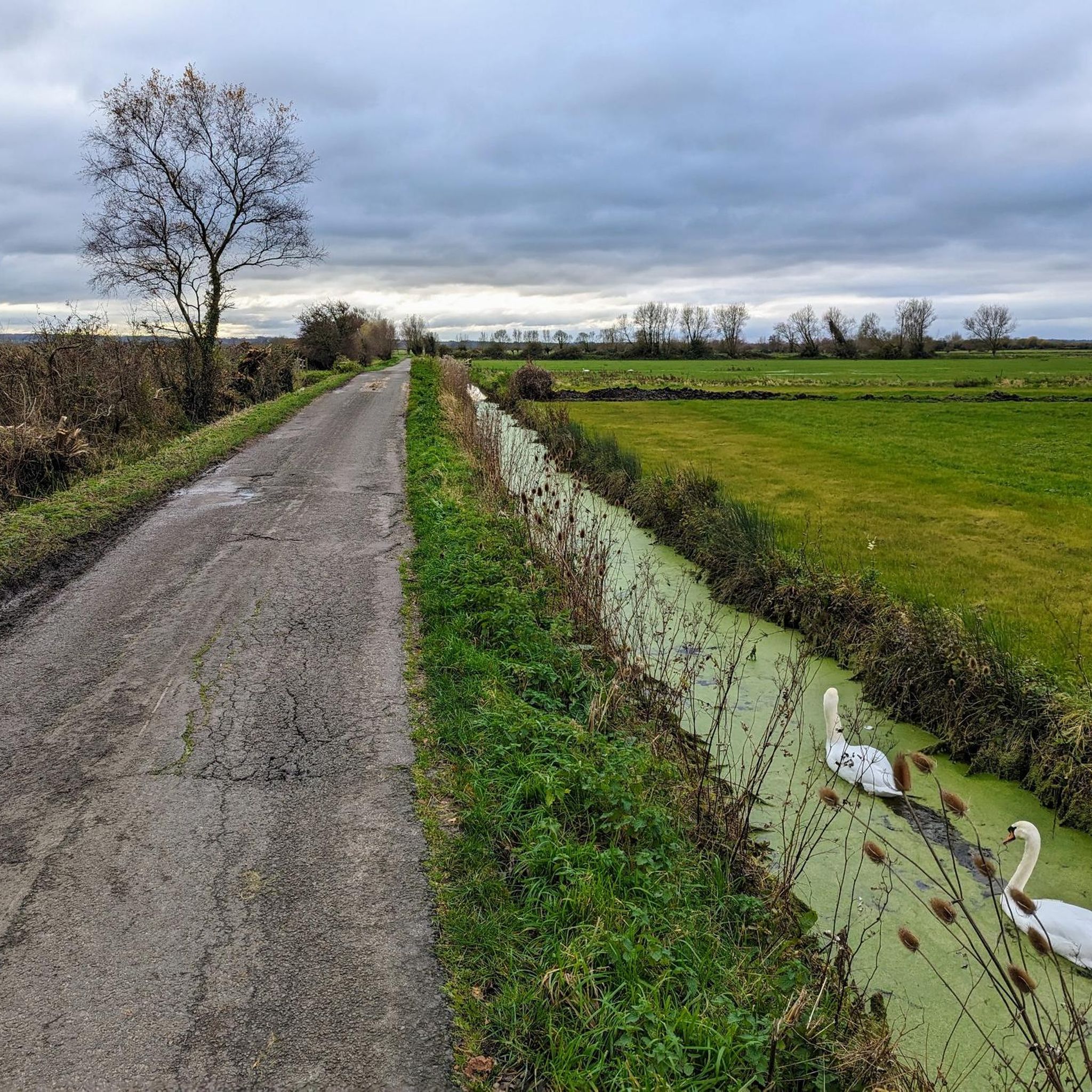
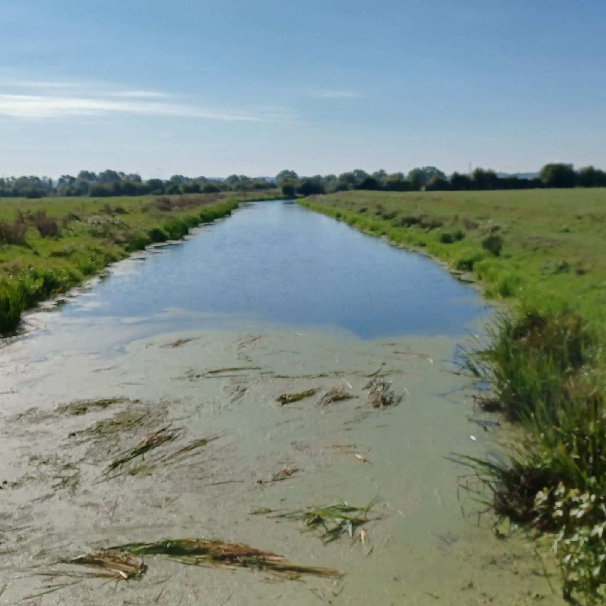
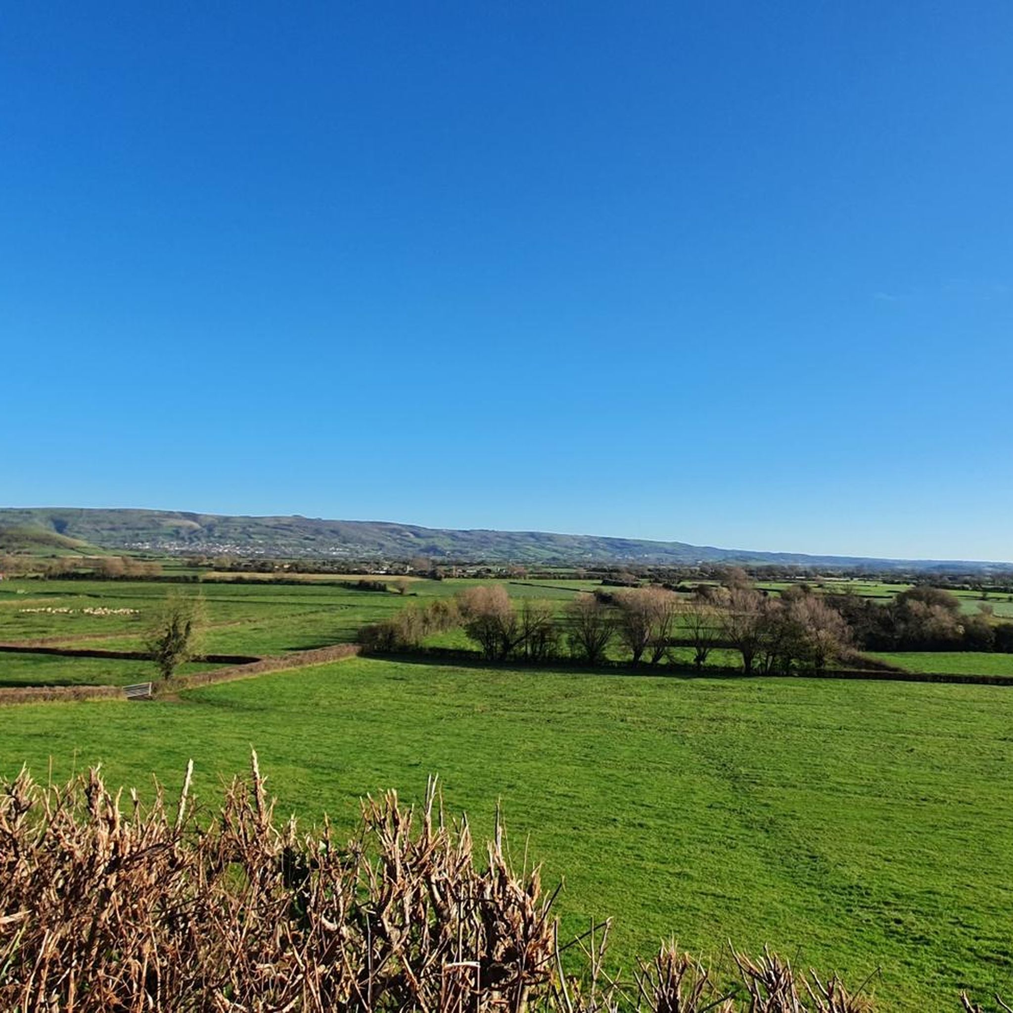
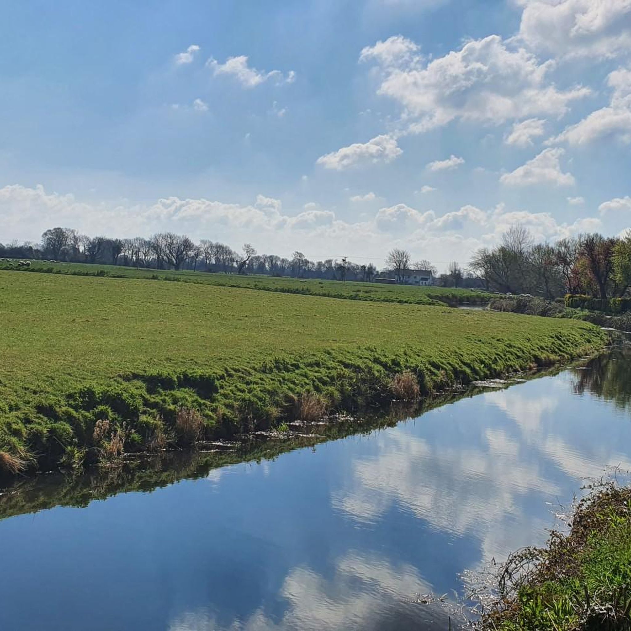
Tips from the Community

UPDATE & OPEN; The Chedzoy/Bawdrip section which was closed is now reopened to walkers and bike riders ; Information obtained from Sustran 2/7/25
1
0

Really pretty little path. Only downside is how short it is.
0
0


The pub is no longer open but there is also a Post Office /Village shop in the centre.
0
0


Wonderful section of the NCN along Brean Beach. The sand is firm and if the wind is kind it's a real experience. Big skies, golden sand and chips at Burnham. There is an alternative NCN section in land if you don't fancy it.
2
0

Internationally famous as a haven for birdwatchers in particular, Somerset Wildlife Trust’s main site on the Peat Moors covers more than 100 hectares. Restored peat diggings, three miles north-west of Glastonbury have been transformed into a network of open water, reed bed and the largest surviving fragment of lowland acid mire in the South-West. Designated as a National Nature Reserve, Westhay Moor was a pioneering project by Somerset Wildlife Trust, in the early 1980s. Since the site’s restoration it has become recognised as one of the top bird watching locations in Britain and often features in documentaries, including the BBC’s Springwatch and Autumnwatch series. Westhay's biggest attractions for birdwatchers arrive in autumn and stay through to January/ February -several million starlings fill the sky as they arrive to roost among the reeds each afternoon.
4
0
Frequently Asked Questions
What kind of mountain biking terrain can I expect around Burtle?
The mountain biking terrain around Burtle is generally flat, characterized by canal paths, open droves, and coastal routes. The immediate Burtle Moor area consists of low-lying, wet grasslands and rhynes, making it unsuitable for mountain biking. Expect accessible rides with minimal elevation changes.
Are there mountain bike trails suitable for beginners or families near Burtle?
Yes, there are several easy mountain bike trails perfect for beginners and families. For example, the Ham Wall Nature Reserve – Willow Walk loop from Meare is an easy 13.7-mile (22.1 km) route that explores nature reserve paths and surrounding areas.
How many mountain bike trails are available in the Burtle area?
There are 11 mountain bike trails available in the Burtle area, offering a range of experiences from easy to moderate difficulty.
Are there any challenging mountain bike trails for advanced riders?
While there are no trails classified as 'difficult' in the immediate Burtle area, some moderate routes offer longer distances and varied landscapes. The Shute Shelve Tunnel – Shute Shelve Tunnel loop from Highbridge and Burnham is a moderate 36.5-mile (58.8 km) path that includes the historic Shute Shelve Tunnel.
When is the best time of year to go mountain biking near Burtle?
Given the region's wet grassland environment, the drier months, typically late spring through early autumn, are generally the best time for mountain biking around Burtle. This avoids the mud and waterlogged conditions that can occur during wetter periods.
What are the trail conditions like in winter around Burtle?
Due to Burtle's designation as one of the lowest and wettest areas on the Somerset Levels and Moors, trails can be very muddy and waterlogged during winter. It's advisable to check local conditions before heading out and be prepared for challenging, wet terrain.
Can I bring my dog on the mountain bike trails near Burtle?
Many trails around Burtle pass through nature reserves and rural areas. While dogs are often permitted, it's crucial to keep them on a leash, especially in nature reserves like Ham Wall, to protect wildlife. Always clean up after your dog.
Are there any interesting landmarks or natural sights to see along the mountain bike routes?
Yes, several routes offer scenic views and pass by notable attractions. You might encounter areas like Shapwick Heath National Nature Reserve Trail, the historic Glastonbury High Street, or viewpoints such as Brent Knoll Summit. The Puriton Droves and Canal – Origami Sculpture Path loop from Huntspill also offers unique sights along canals.
Are there any mountain bike routes that include pub stops or cafes?
While specific routes aren't designed around pub stops, many trails pass through or near villages and towns where you can find amenities. For instance, the Willow Walk – Glastonbury High Street loop from Woolavington takes you close to Glastonbury, which has various cafes and pubs.
What do other mountain bikers enjoy the most about mountain biking in Burtle?
The mountain bike routes around Burtle are highly rated by the komoot community, with an average score of 5.0 stars. Riders often praise the flat, accessible terrain, which is ideal for relaxed rides, and the opportunity to explore the unique wetland landscapes and coastal paths.
Are there any loop trails for mountain biking near Burtle?
Yes, many of the mountain bike routes around Burtle are designed as loops. Examples include the Grand Pier Weston-super-Mare – Burnham-on-Sea Beach loop from Highbridge and Burnham and the Puriton Droves and Canal – Origami Sculpture Path loop from Huntspill, offering convenient circular rides.
What is the typical duration for mountain bike trails in the Burtle area?
The duration of mountain bike trails varies depending on the route and your pace. Easy trails like the Ham Wall Nature Reserve – Willow Walk loop from Meare can take around 1 hour 9 minutes, while longer moderate routes such as the Shute Shelve Tunnel – Shute Shelve Tunnel loop from Highbridge and Burnham might take over 3 hours.
Most popular attractions around Burtle

Get inspired with the komoot mobile app


Explore more
Browse the best MTB trails in other regions.
