Attractions and Places To See around Sunk Island - Top 20
Best attractions and places to see around Sunk Island include a unique landscape shaped by land reclamation, expansive agricultural areas, and a diverse natural environment. This region offers distinctive landmarks, natural features, and points of interest, particularly along the Humber Estuary. It provides a tranquil experience for those interested in history, nature, and walks. The area is known for its flat, open landscapes and significant birdwatching opportunities.
Best attractions and places to see around Sunk Island
- The most popular attractions…
Last updated: July 6, 2026
Cleethorpes Pier
Highlight • Structure
Since 2016, the pier has been owned by ‘Papas Fish & Chips’ claiming the honour of the ‘world’s biggest fish and chip restaurant’.
Tip by

Spurn Lighthouse
Highlight • Monument
Tip by

Sign up now to discover places like this
Get recommendations on the best single tracks, peaks, & plenty of other exciting outdoor places.
Sign up for free
Greenwich Meridian Line Monument, Cleethorpes
Highlight • Monument
The Greenwich Meridian line runs through Cleethorpes as it travels round …
Tip by
Withernsea Pier Entrance Towers
Highlight • Monument
Tip by

Humber Lifeboat Station
Highlight • Monument
Tip by

Sign up for free to discover even more attractions around Sunk Island.
Sign up for free
Already have an account?
Start today with a free account
Your next adventure awaits.
Login or Signup
Tips from the Community


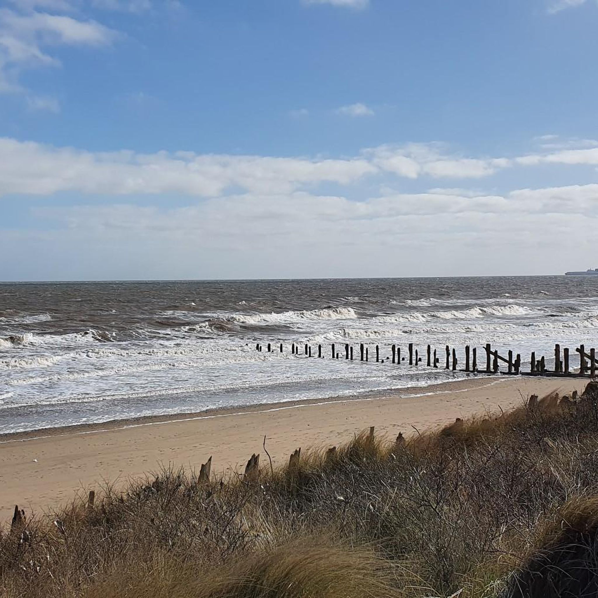
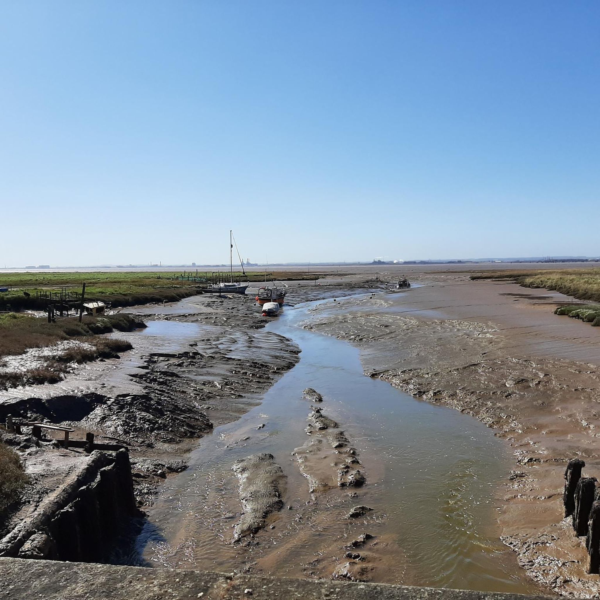
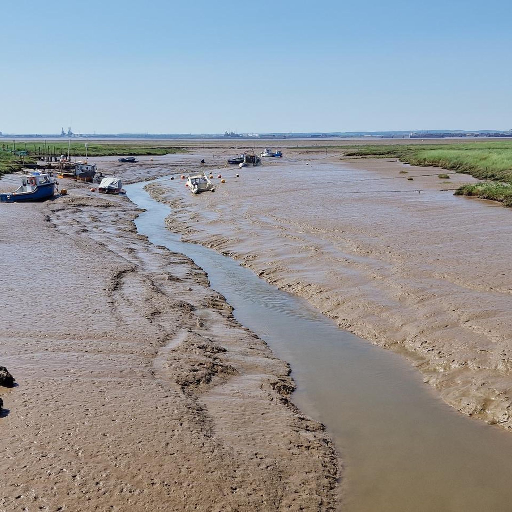
Make sure you check the tide times if you want to paddle in the sea otherwise it goes really far out for miles! Can be dangerous in some parts with the mud when the tides out so keep an eye out for signs of where not to go
0
0

Visible for 17 nautical miles, this lighthouse was sectored so that mariners could identify particular shoals/sandbanks as well as the main channel through which to enter the Humber.
2
1

The new Withernsea pier: technological feat and popular success Despite some damage during its construction, the 1,196-feet-long pier was completed by August 1877. Built entirely out of iron, except for the brick entrance and wooden decking, the pier used the new technology of screw piles, which were driven deep into the ground. Seating was provided along the full length of the pier and a saloon and hall for entertainment was situated at the pier head. The entrance to the pier consisted of two castellated towers, rumoured to be based on Conwy Castle in Wales. Storm damage and tragic loss of life On 28 October 1880, a devastating storm erupted which caused damage to many of Yorkshire’s piers. Withernsea Pier suffered twice when it was hit by two storm-damaged vessels. T The second vessel to hit the pier was the brig Saffron, which tore a 200-foot hole through its centre before coming to rest nearby. The Saffron had been part of a flotilla of ships which had set out from the Humber, journeying northwards. Around Flamborough Head, the wind increased rapidly to a storm force gale. The fleet was at the mercy of the elements. The pier had only just been repaired when it was damaged again on 28 March 1882, the pier head being destroyed along with the saloon above it. The pier was not repaired, but the remaining sections continued in use. The series of disasters was relentless, and on 20 October 1890, the Grimsby fishing smack Genesta hit the pier, destroying over half its length and leaving just over 300 feet remaining. Two years later even this was destroyed, when another vessel, the Henry Parr (formerly the Dido) rammed into it at the height of another storm. The remains of Withernsea pier: a landmark and memorial The history of the pier at Withernsea is both tragic and yet in some ways inspiring. The two entrance towers have survived all the devastation around them. They are a well-loved landmark in the town, even if many visitors are totally unaware that they once formed a part of a pier. They also act as a memorial to those sailors who perished in the seas around it.
0
0

This spot marks the the historic prime meridian or Greenwich meridian, a geographical reference line, globally separating the east from the west the same way the equator separates the north from the south.
0
1

In 1884 zero degrees longitude was established as the Greenwich Meridian and the world's prime meridian for measuring longitude. The Greenwich Meridian line runs through Cleethorpes as it travels round the globe from north to south, and a metal plate has been set into the coastal path to mark the exact location. Usefully it also marks the distance between the Meridian and various places around the world. Keep going directly North from here, you only have 2,517 miles to get to the North Pole.
2
0
In 1884 zero degrees longitude was established as the Greenwich Meridian and the world's prime meridian for measuring longitude. The Greenwich Meridian line runs through Cleethorpes as it travels round the globe from north to south, and a metal plate has been set into the coastal path to mark the exact location. Usefully it also marks the distance between the Meridian and various places around the world. Keep going directly North from here, you only have 2,517 miles to get to the North Pole.
4
0

The lifeboat was first stationed here in 1810 with cottages for the lifeboat crews and the families being built within a couple of years. By 1870 there was a small residential community on Spurn Head with a room in the lighthouse being used as a chapel. The current Humber Lifeboat Station is staffed full time by a professional crew. The current lifeboat is " The Pride of Humber" a Severn-class lifeboat.
1
0
Frequently Asked Questions
What historical sites can I explore around Sunk Island?
Sunk Island offers several historical points of interest. You can visit the remains of the Sunk Island Battery, a World War I gun emplacement, or the Holy Trinity Church, an 1870s Grade II listed building now serving as a heritage center. The area also features many unique cottages and farmhouses designed by architect Samuel Sanders Teulon in the mid-19th century. Additionally, the Greenwich Meridian Line Monument, Cleethorpes marks the exact location where the prime meridian passes through the area.
What natural features define the Sunk Island area?
Sunk Island is characterized by its unique origins as a reclaimed sand bank in the Humber Estuary. This results in remarkably flat, open agricultural landscapes with expansive skies, often compared to a Dutch landscape. The Humber Estuary and its mudflats are significant natural features, providing reed-fringed views and a rich habitat for wildlife. You can also glimpse Spurn Bight, a wide, shallow bay, from various points along the estuary.
Is Sunk Island a good place for birdwatching or wildlife spotting?
Yes, Sunk Island is an excellent location for birdwatching and wildlife spotting. The diverse habitats of the Humber Estuary and surrounding farmland attract a rich population of resident and visiting birds, including wildfowl and wading birds like oystercatchers, redshank, and golden plover. Seals can also frequently be spotted basking on the exposed mudflats.
Are there opportunities for walking or hiking near Sunk Island attractions?
The flat, open landscapes around Sunk Island are ideal for walking and hiking. You can find numerous routes, including easy hikes that allow you to explore the unique scenery. For specific trails, you can refer to guides like Easy hikes around Sunk Island, which features routes such as the "Pelican Rockery and Waterfall – Cleethorpes Pier loop from New Clee" and the "Greenwich Meridian Marker – Patrington Trig Point loop from Patrington".
Can I find cycling routes around Sunk Island?
Yes, the flat terrain of Sunk Island is well-suited for cycling. There are various routes available for different types of bikes. For mountain biking, you can explore options in the MTB Trails around Sunk Island guide, which includes routes like the "Louth Canal Bridge – Cleethorpes Pier loop from Grimsby Town" and the "Sea Wall Path to Grimsby loop from Immingham".
Are there family-friendly attractions around Sunk Island?
Several attractions in the vicinity are suitable for families. Cleethorpes Pier offers a promenade with arcades, crazy golf, and various food options like fish and chips. The Humber Lifeboat Station provides an interesting historical insight into maritime rescue. Additionally, the Spurn Discovery Centre has a cafe and exhibition, making it a good stop for all ages.
Where can I find good viewpoints or scenic spots?
For scenic views, consider visiting Cleethorpes Pier, which offers expansive views of the coastline. The Spurn Lighthouse provides amazing panoramic views from its top. Stone Creek is another excellent spot, offering stunning views of the Humber Estuary and passing ships. The flat, open landscapes themselves provide vast skies and a unique sense of space.
What can I expect at <a href="https://www.komoot.com/highlight/4757070" target="_blank" rel="noopener">Cleethorpes Pier</a>?
Cleethorpes Pier, originally opened in 1873, is now 102 meters long and is home to a large fish and chip restaurant. It's a popular spot for families, offering a promenade with arcades, crazy golf, donkey rides, and various food and ice cream vendors. It's also a photogenic location with views of the beach and sea.
What is the significance of <a href="https://www.komoot.com/highlight/1142142" target="_blank" rel="noopener">Spurn Lighthouse</a>?
The Spurn Lighthouse, standing 39 meters high, was built in 1895 and was crucial for guiding mariners navigating the Humber Estuary, visible for 17 nautical miles. It was decommissioned in 1985 but has since been restored and opened as a visitor center by the Yorkshire Wildlife Trust, offering incredible views from its top.
Are there running trails available near Sunk Island?
Yes, Sunk Island and its surroundings offer various running trails. You can find suitable routes in the Running Trails around Sunk Island guide. Examples include the "Running loop from Winestead" and the "South Holderness Rail Trail loop from Keyingham," providing moderate difficulty options for runners.
What is the <a href="https://www.komoot.com/highlight/7209232" target="_blank" rel="noopener">Spurn Discovery Centre</a>?
The Spurn Discovery Centre serves as a convenient stop before exploring Spurn Point. It features a cafe and an exhibition, providing information about the area's natural history and wildlife. It also offers ample parking and is a good starting point for walks and cycle rides.
What is the <a href="https://www.komoot.com/highlight/1142143" target="_blank" rel="noopener">Humber Lifeboat Station</a>?
The Humber Lifeboat Station, located on Spurn Point, has a history dating back to 1810. It is one of the Royal National Lifeboat Institution's stations and is staffed full-time by a professional crew. It plays a vital role in maritime safety along the Humber Estuary and is an interesting historical site to visit.

Get inspired with the komoot mobile app


Explore more
Still not found the Highlight you’re looking for? See guides of the top attractions in other regions:
