Tutnall and Cobley CP
Tutnall and Cobley CP
The best MTB trails around Tutnall and Cobley CP
4.6
(30)
100
riders
46
rides
Mountain biking around Tutnall and Cobley CP offers varied terrain within Worcestershire, characterized by undulating hills, ancient woodlands, and diverse geological formations. The landscape includes areas with sandy soils and others with loamy and clayey soils, providing a dynamic environment for mountain bikers. Proximity to Lickey Hills Country Park and Waseley Hills Country Park means access to picturesque hilltops and panoramic views. This region provides an engaging setting with both climbs and descents through natural habitats.
Best mountain bike trails…
Last updated: July 6, 2026
5.0
(2)
3
riders
18.3km
01:11
160m
160m
Easy mountain bike ride. Great for any fitness level. Suitable for all skill levels.
5.0
(1)
7
riders
51.7km
03:36
310m
300m
Moderate mountain bike ride. Good fitness required. Suitable for all skill levels.

Sign up for free
5.0
(2)
3
riders
15.9km
01:06
160m
160m
Easy mountain bike ride. Great for any fitness level. Suitable for all skill levels.
8
riders
38.9km
02:17
300m
300m
Moderate mountain bike ride. Good fitness required. Suitable for all skill levels.
4.5
(2)
3
riders
27.9km
01:46
280m
280m
Easy mountain bike ride. Great for any fitness level. Suitable for all skill levels.
Get access to more routes and recommendations from other explorers.
Sign up for free
Already have an account?
Our route recommendations are based on thousands of hikes, rides, and runs completed by other people on komoot.
Start today with a free account
Your next adventure awaits.
Login or Signup
Tips from the Community

The National Transport Trust Red Wheel at Tardebigge Top Lock (Worcestershire) commemorates the site of Britain's longest lock flight. Located on the Worcester & Birmingham Canal, the top lock is an engineering landmark that replaced an 1815 experimental vertical boat lift, making it unusually deep. History & Significance The Vertical Boat Lift: Before the traditional lock was built, inventor John Woodhouse installed an experimental vertical boat lift at his own expense. A 64-ton wooden chamber lifted boats an impressive 11 feet using a windlass. The Shift to Locks: While the lift successfully raised 110 boats in 12 hours, it proved too fragile for permanent use. In 1815, it was replaced by the deep conventional lock we see today. The Red Wheel Plaque: Awarded by the National Transport Trust, the Red Wheel acts as the transport equivalent of a blue plaque, recognizing sites of profound historical and engineering importance. The Tardebigge Flight The Longest in the UK: The Tardebigge Flight consists of 30 narrow locks spread across 2.25 miles, raising or lowering boats by 67 metres (220 feet). Navigation: Transiting the whole flight typically takes narrowboat enthusiasts about 4 to 5.5 hours.
0
0
An Ordnance Survey (OS) benchmark is a physical reference mark cut into a wall, bridge, or building to indicate a precise vertical elevation above mean sea level (Ordnance Datum Newlyn). The number "466" refers to its recorded height (466 feet or roughly 142.04 metres) above the sea level datum. The classic benchmark design is a visible "Broad Arrow" (a downward- pointing triangle) with a horizontal line etched across the middle. This horizontal line represents the exact measured height for surveyors to rest their levelling staves on. The OS carved over 500,000 of these markers across Great Britain, with historic benchmarks dating back to the 1830s. While they are nostalgic reminders of the country's mapping history, most are no longer in active use today due to the advent of GPS and GNSS technology. Because the number simply identifies the specific marker's altitude in the OS system, thousands of different OS benchmarks bear the "466" designation across the UK.
0
0

Very quiet place, which is popular among runners and walkers. However, Worcestershire&Birmingham channel is relatively well-surfaced at this section (compacted gravel with some cobblestones). So, it can be carefully(!) completed on road bikes with decent tires. If not, then ~1km of pushing in total from the nearest road.
0
0


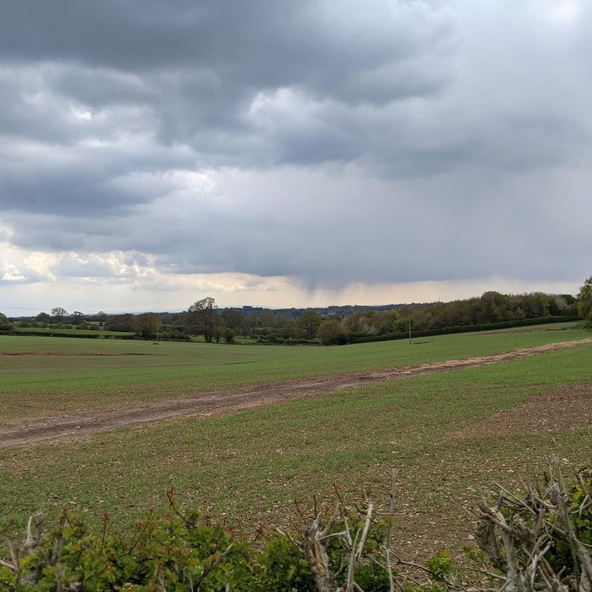
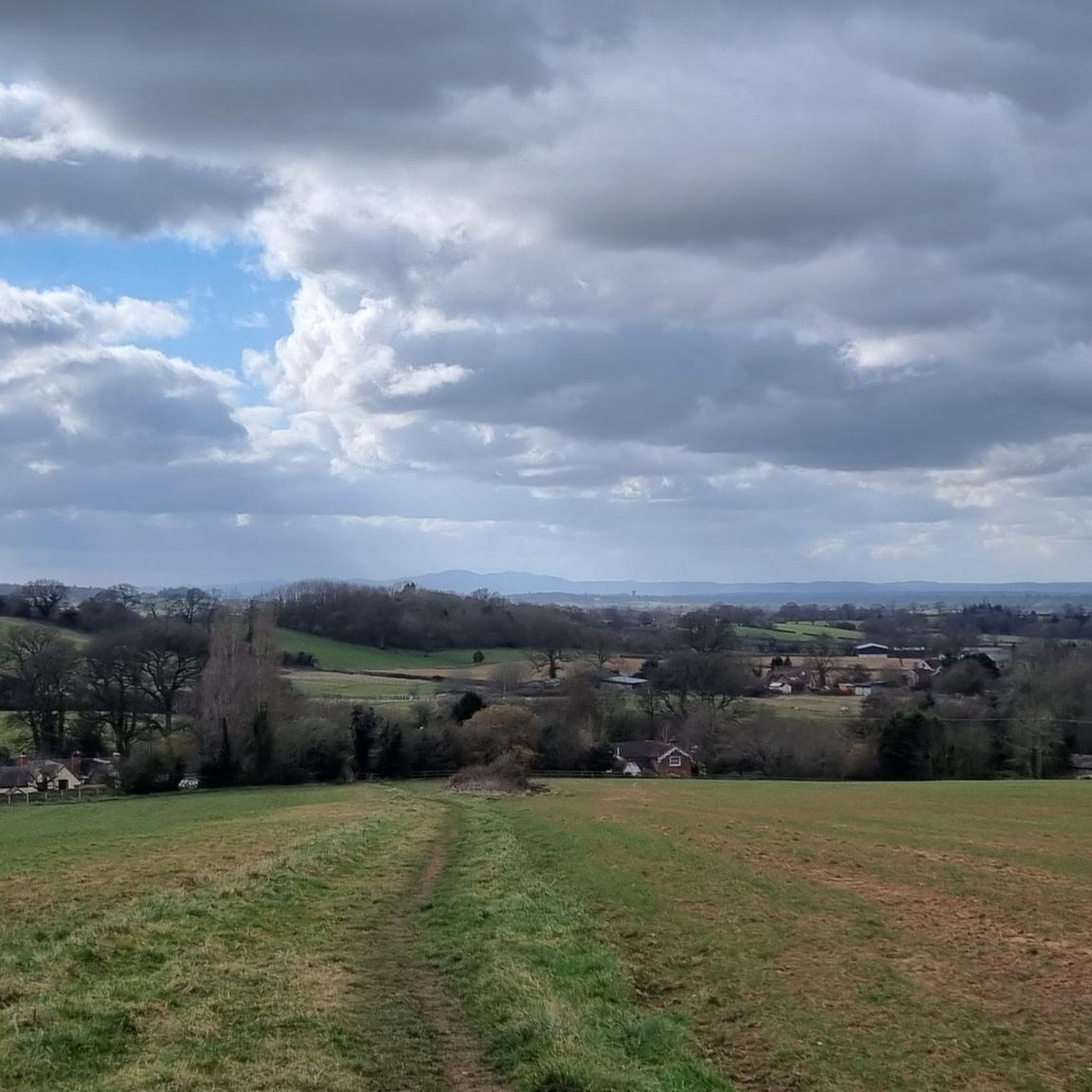
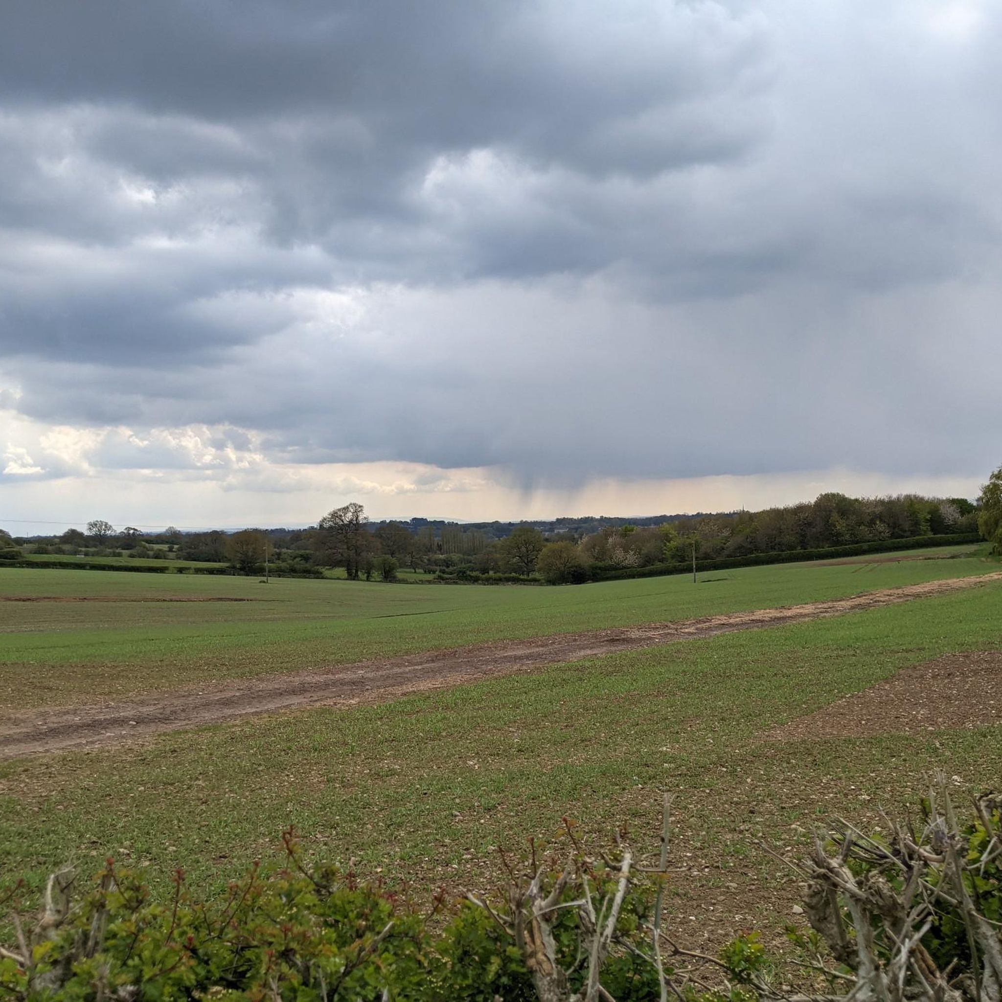
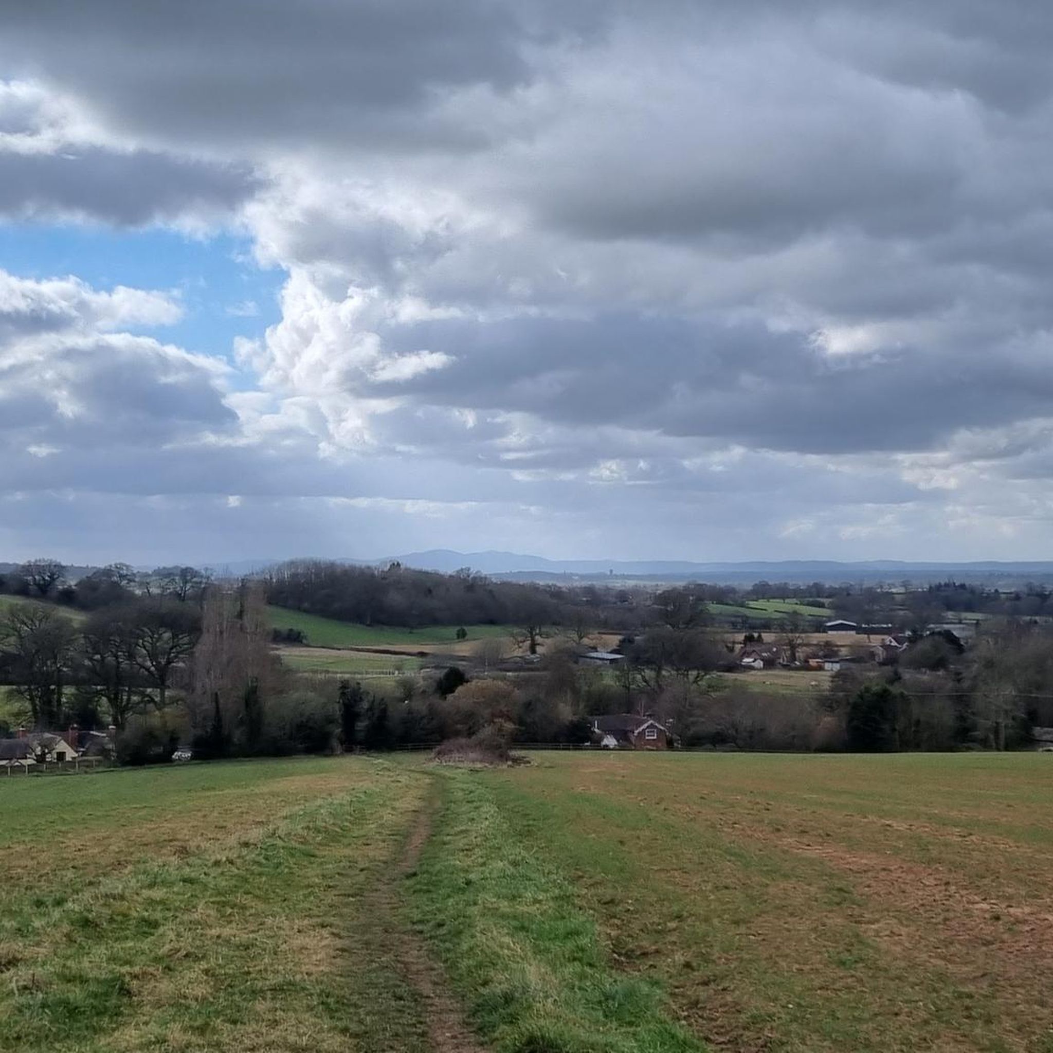
Coming out of the woods to these top fields, the views are wonderful. Off road shoes required. Path is well kept.
1
0

Situated on the Worcester and Birmingham Canal, Alvechurch Marina is close to the impressive 30-lock Tardebigge Flight, the Weighbridge pub and Alvechurch train station.
1
0
Frequently Asked Questions
How many mountain bike trails are available around Tutnall and Cobley CP?
There are nearly 50 mountain bike trails available around Tutnall and Cobley CP. These routes offer a diverse range of experiences, from easy forest loops to more challenging paths through varied terrain.
What types of terrain can I expect on mountain bike trails in Tutnall and Cobley CP?
The region features varied terrain due to its geological makeup, including areas with freely-draining sandy soils and others with seasonally-wet loamy and clayey soils. You can expect undulating hills, ancient woodlands, and both climbs and descents, providing a dynamic environment for mountain biking.
Are there easy mountain bike trails suitable for beginners or families in Tutnall and Cobley CP?
Yes, there are 20 easy mountain bike trails, making the area suitable for beginners and families. Routes like the Forest Downhill Trail – Alvechurch Marina loop from Redditch offer relaxed rides through local forests and by the marina.
Are there any moderate or challenging mountain bike routes for more experienced riders?
Yes, there are 26 moderate trails and 1 difficult trail. For a moderate challenge, consider the Tardebigge Top Lock – View of Tardebigge Canal loop from Barnt Green, which leads through scenic canal areas and offers a longer ride.
What are some scenic highlights or natural attractions to see while mountain biking in the area?
The area is rich in natural beauty. You can explore woodlands like Jubilee Plantation, Waseley Hills Country Park, or visit nature reserves such as Chaddesley Wood National Nature Reserve. For panoramic views, consider routes near Walton Hill Summit or Bilberry Hill Viewpoint.
Are there circular mountain bike routes available?
Many of the routes in Tutnall and Cobley CP are designed as loops, offering circular experiences. For example, the Tardebigge Top Lock – Tardebigge Reservoir loop from Redditch provides a scenic circular ride around the reservoir.
What do other mountain bikers enjoy most about the trails in Tutnall and Cobley CP?
The trails in Tutnall and Cobley CP are highly rated by the komoot community, with an average score of 4.6 stars from over 30 reviews. Riders often praise the varied terrain, the scenic views from elevated points, and the engaging mix of climbs and descents through woodlands and along canal paths.
Are there any routes that pass by reservoirs or canals?
Yes, several routes incorporate the local canal network and reservoirs. The Tardebigge Top Lock – Lock 53 loop from Barnt Green is a longer route that explores the scenic canal area, offering views of the historic locks.
Where can I find parking for mountain biking in Tutnall and Cobley CP?
While specific parking locations for Tutnall and Cobley CP are not detailed, the proximity to Lickey Hills Country Park suggests that visitor centers in nearby country parks, such as the Lickey Hills Visitor Centre, may offer facilities including parking, which can serve as a convenient base for exploring the wider area.
What are the typical trail surfaces like for mountain biking in Worcestershire?
The trails in Worcestershire, including around Tutnall and Cobley CP, feature diverse surfaces. These range from sandy soils in some areas to loamy and clayey soils, reflecting the varied geology. You can expect a mix of natural earth paths, potentially some gravel, and forest tracks.
Are there any specific viewpoints or elevated areas accessible by mountain bike?
Yes, the region is known for its picturesque hilltops and panoramic views. Areas like Lickey Hills Country Park and Waseley Hills Country Park offer elevated points. Walton Hill Summit, for instance, provides extensive vistas across Worcestershire and is a rewarding destination for cyclists seeking views.
Can I find mountain bike trails that go through ancient woodlands?
Absolutely. The broader Worcestershire area, including Tutnall and Cobley CP, has strong links to ancient woodlands. Many routes will take you through semi-natural woodlands, providing natural beauty, shade, and potentially technical singletrack sections. Examples include areas around Clowes Wood and New Fallings Coppice.
Most popular routes around Tutnall and Cobley CP
Most popular attractions around Tutnall and Cobley CP

Get inspired with the komoot mobile app


Explore more
Browse the best MTB trails in other regions.
