The best cycling routes around Cottingwith
4.6
(153)
1,777
riders
149
rides
Touring cycling routes around Cottingwith traverse a landscape characterized by flat terrain and gentle undulations, often following river valleys and agricultural fields. The region features low elevation gains, making it suitable for various cycling abilities. Routes frequently pass through rural villages and offer views of open countryside. This area provides a network of paths ideal for relaxed cycling.
Best touring cycling routes around Cottingwith
- The most popular touring cycling route is Naburn Railway Bridge – York Millennium Bridge loop from…
Last updated: October 18, 2026
7
riders
29.1km
01:41
90m
90m
Easy bike ride. Great for any fitness level. Mostly paved surfaces. Suitable for all skill levels.
7
riders
46.0km
02:35
80m
80m
Moderate bike ride. Good fitness required. Mostly paved surfaces. Suitable for all skill levels.

3
riders
48.2km
02:46
70m
70m
Moderate bike ride. Good fitness required. Mostly paved surfaces. Suitable for all skill levels.
3
riders
33.1km
01:55
80m
80m
Easy bike ride. Great for any fitness level. Mostly paved surfaces. Suitable for all skill levels.
4.0
(1)
9
riders
21.2km
01:13
40m
40m
Easy bike ride. Great for any fitness level. Mostly paved surfaces. Suitable for all skill levels.
Get access to more routes and recommendations from other explorers.
Already have an account?
Our route recommendations are based on thousands of hikes, rides, and runs completed by other people on komoot.
Start today with a free account
Your next adventure awaits.
Tips from the Community

Excellent veggie breakfast served until 3pm.
0
0

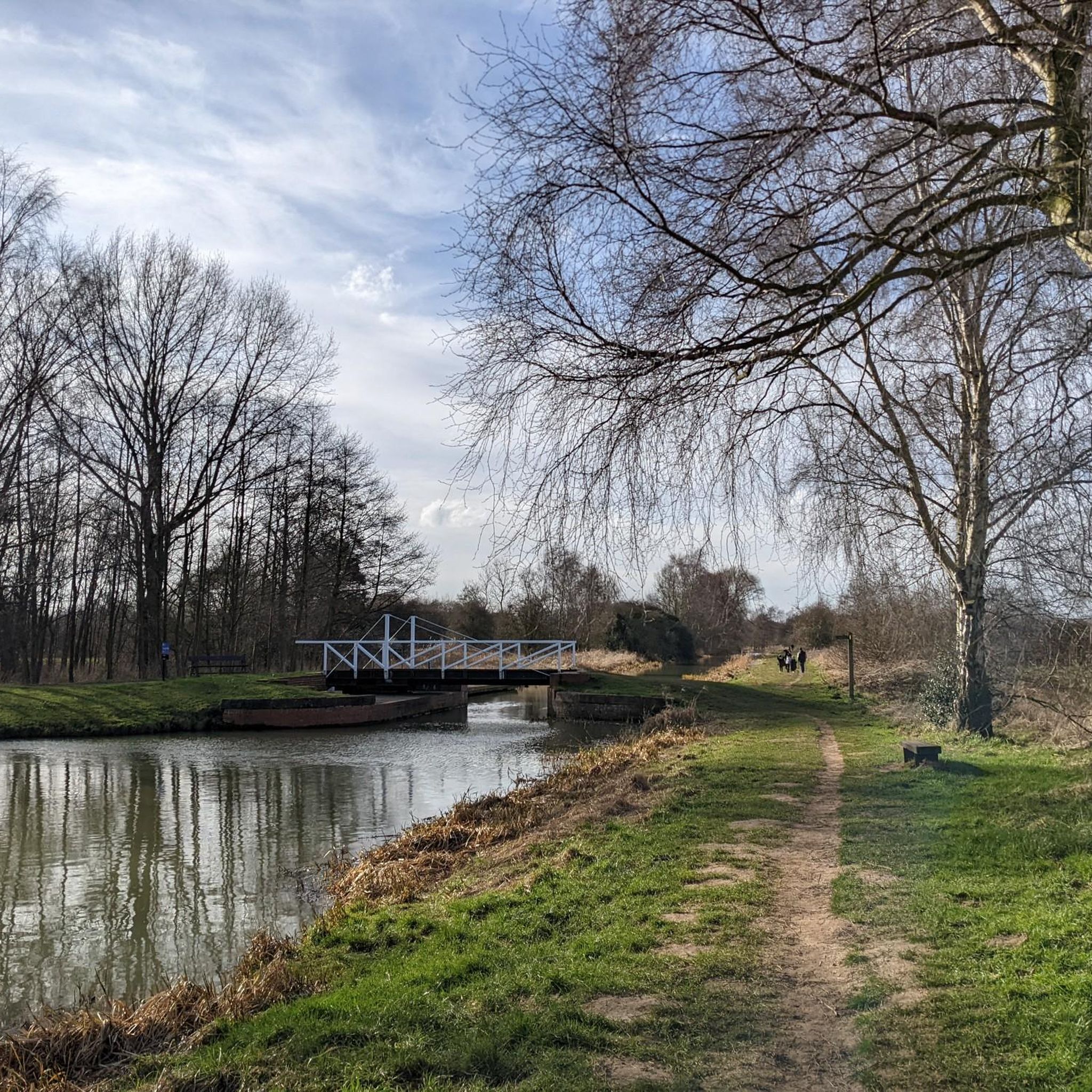
Walbut Bridge carries the road from Melbourne to Allerthorpe, and Walbut Lock is immediately adjacent to the bridge.
1
0
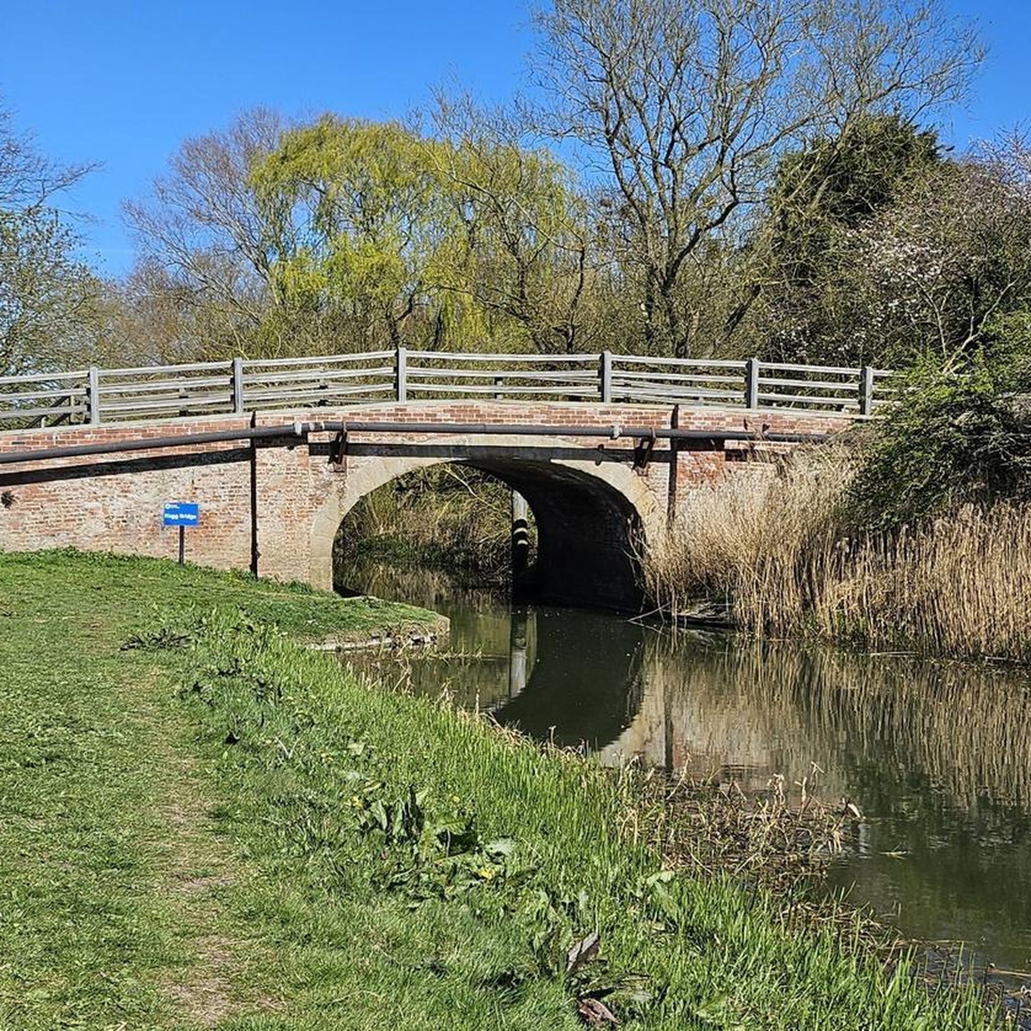
The Pocklington Canal was constructed at the beginning of the 19th century to transport agricultural goods from the East Riding to the larger urban centres to the south and west. A Bill was placed before Parliament in 1814 and the canal was designed by George Leather Jnr, an experienced navigation engineer who worked on Goole Docks and the Knottingley and Goole Canal. The canal was opened in 1818, running for 9.5 miles from the River Derwent at East Cottingwith to a mile south of Pocklington. The cost was £32,695, which was actually less than the original estimate. Hagg Bridge is one of four bridges crossing the canal designed by George Leather.
2
0
Spectacular abbey for such a small town. Interesting info board describing the 19th Century cholera epidemic and associated graveyard, much like the one just outside the walls opposite York Station.
1
0
Grade I listed building. The surviving fifteenth-century structures formed part of a fortified medieval palace belonging to the Archbishops of York, which was dismantled in the aftermath of the English Civil War. The only remaining parts of the castle are the gatehouse and the banqueting hall. Stones from the destroyed castle were used in the construction of surrounding houses. The foundations of some other structures do remain as well as the castle's cellar, which was excavated in the 19th century. The gatehouse served as a courthouse until the 1930s, before being used as an officers' mess and a building for the Home Guard during World War II. The first fortifications on this site are believed to be those built by King Athelstan in the 10th Century.
1
0
Grade II listed swing bridge opened in 1872. The deck was submerged when the River Ouse flooded in 2015.
1
0
Frequently Asked Questions
How many touring cycling routes are available around Cottingwith?
There are over 150 touring cycling routes around Cottingwith documented on komoot. This includes a wide variety, with more than 70 easy routes, 70 moderate routes, and a selection of more challenging options.
Are there easy touring cycling routes suitable for beginners in Cottingwith?
Yes, Cottingwith is an excellent area for beginners due to its generally flat terrain and low elevation gains. There are over 70 easy routes available. A great option is The Natterjack – South Duffield Windmill loop from Skipwith, which is 28.0 km and typically takes around 1 hour 38 minutes.
What are the typical distances and durations for touring bike routes in Cottingwith?
Touring bike routes in Cottingwith vary, but many popular options range from 25 km to 55 km. For instance, the Allerthorpe Common – View of Wheat Fields loop from Thornton is 29.5 km and takes about 1 hour 42 minutes, while the Cawood Bridge – Cawood Castle Gatehouse loop from North Duffield covers 54.3 km in approximately 3 hours 5 minutes.
Are there any circular touring bike routes in the Cottingwith area?
Yes, many of the touring cycling routes around Cottingwith are designed as loops, allowing you to start and finish at the same point. For example, the popular Naburn Railway Bridge – York Millennium Bridge loop from Newton on Derwent is a 46.4 km circular route.
What kind of scenery can I expect on touring bike routes around Cottingwith?
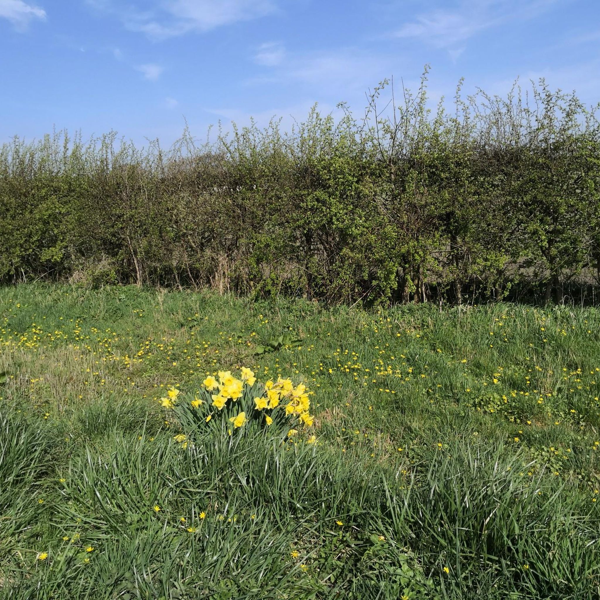
The routes in Cottingwith offer picturesque views of open countryside, agricultural fields, and tranquil river valleys. You'll often pass through charming rural villages and along former railway lines, providing a blend of natural beauty and local character. The The Natterjack – Celandines and Daffodils loop from North Duffield is particularly known for its scenic views through natural areas, especially vibrant in spring.
What attractions or landmarks can I see along touring cycling routes in Cottingwith?
The region offers several interesting sights. You might encounter historical sites like the Pocklington Canal or the Battle of Stamford Bridge Memorial. Nature lovers can explore areas like Skipwith Common National Nature Reserve, home to Ancient Oak Trees. Other notable spots include the Stamford Bridge Railway Viaduct and the beautiful Burnby Hall Gardens.
What is the best season for touring cycling in Cottingwith?
The flat and open nature of Cottingwith makes it enjoyable for touring cycling across multiple seasons. Spring and summer offer vibrant landscapes and warmer weather, ideal for leisurely rides. Autumn provides beautiful colours, while winter can be pleasant on clear, dry days, though some paths might be muddier. Always check local weather conditions before heading out.
What do other touring cyclists enjoy most about cycling in Cottingwith?
The touring cycling routes in Cottingwith are highly rated by the komoot community, with an average score of 4.6 stars from over 150 reviews. Cyclists often praise the region's quiet roads, gentle terrain, and the opportunity to explore charming villages and historical sites at a relaxed pace. The well-maintained paths and scenic river views are frequently highlighted.
Are there family-friendly touring cycling routes in Cottingwith?
Absolutely. The low elevation gains and generally flat terrain make many routes around Cottingwith very suitable for families with children. Look for the 'easy' graded routes, which often follow quiet country lanes or dedicated paths away from heavy traffic, providing a safe and enjoyable experience for all ages.
What should I pack for a touring bike trip in Cottingwith?
Given the varied weather, it's wise to pack layers, including waterproofs, even on sunny days. Essential items include a repair kit, pump, spare inner tube, water, snacks, and a fully charged phone. Sun protection is also recommended. For navigation, a reliable GPS device or the komoot app on your phone will be invaluable on the network of paths.
Are there opportunities for pub stops or refreshments along the touring routes?
Yes, as routes often pass through rural villages, you'll find opportunities for pub stops, cafes, or village shops to refuel and refresh. Planning your route with komoot allows you to identify points of interest, including places to eat and drink, ensuring you can integrate breaks into your ride.
Most popular attractions around Cottingwith

Get inspired with the komoot mobile app


Explore more
Browse the best Cycling routes in other regions.
