The best road cycling routes around Croxton
4.9
(29)
720
riders
66
rides
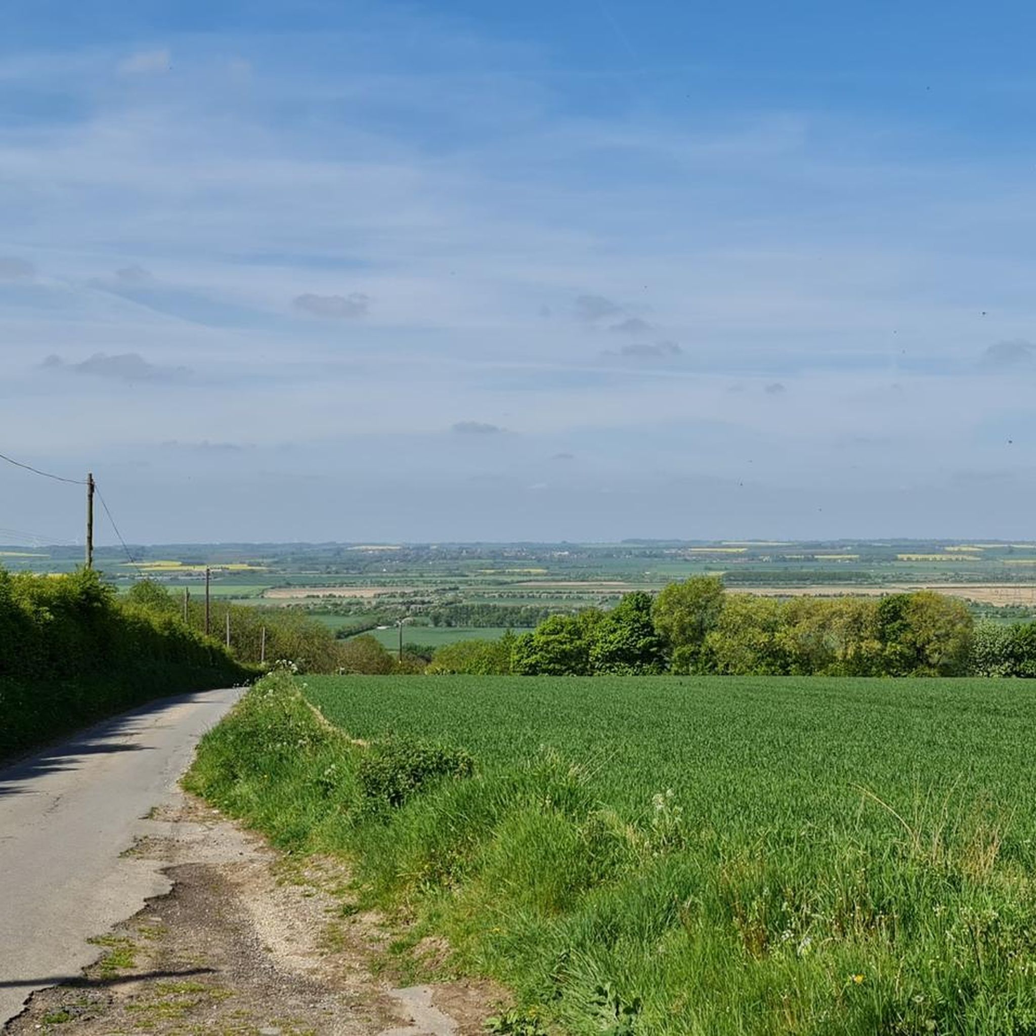
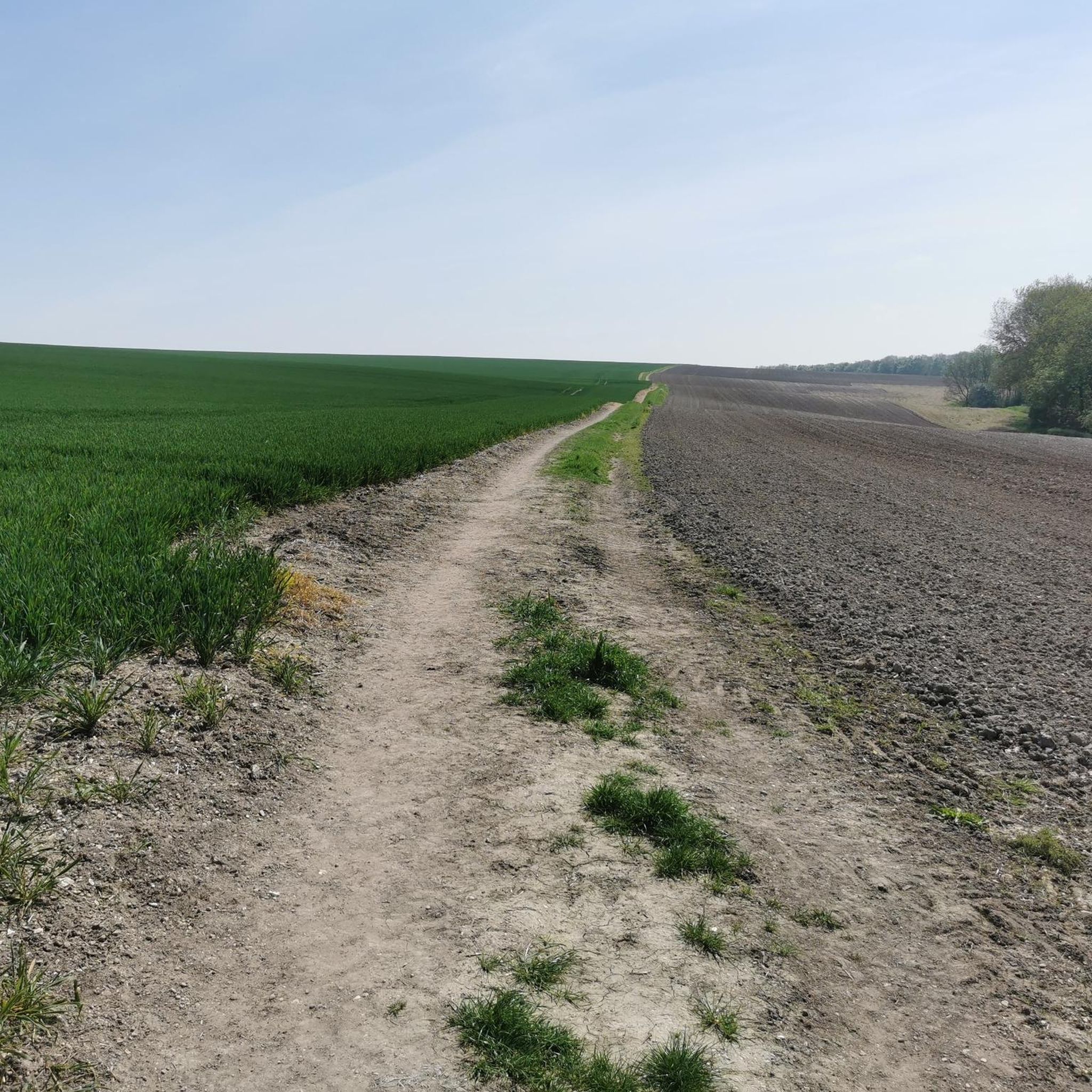
Road cycling routes around Croxton feature a landscape of undulating terrain, open countryside, and scattered woodlands. The area provides varied cycling experiences, from flatter sections to routes with moderate climbs. This region is known for its mixed farming land and rolling hills, offering a range of road surfaces for cyclists.
Best road cycling routes around Croxton
- The most popular road cycling route is Cafe at 6 loop from Ulceby, an easy 27.8 miles (44.7 km) trail that takes 1…
Last updated: November 15, 2026
23
riders
56.1km
02:19
290m
290m
Moderate road ride. Good fitness required. Mostly well-paved surfaces and easy to ride.
5.0
(1)
16
riders
43.9km
01:46
200m
200m
Easy road ride. Mostly well-paved surfaces and easy to ride.

10
riders
108km
04:41
500m
500m
Moderate road ride. Good fitness required. Mostly well-paved surfaces and easy to ride.
6
riders
48.6km
01:59
240m
240m
Easy road ride. Mostly well-paved surfaces and easy to ride.
10
riders
49.1km
02:06
180m
180m
Moderate road ride. Good fitness required. Mostly well-paved surfaces and easy to ride.
Get access to more routes and recommendations from other explorers.
Already have an account?
Our route recommendations are based on thousands of hikes, rides, and runs completed by other people on komoot.
Start today with a free account
Your next adventure awaits.
Tips from the Community

Nice spot for a pit-stop the area has 3 bench seats.
0
0

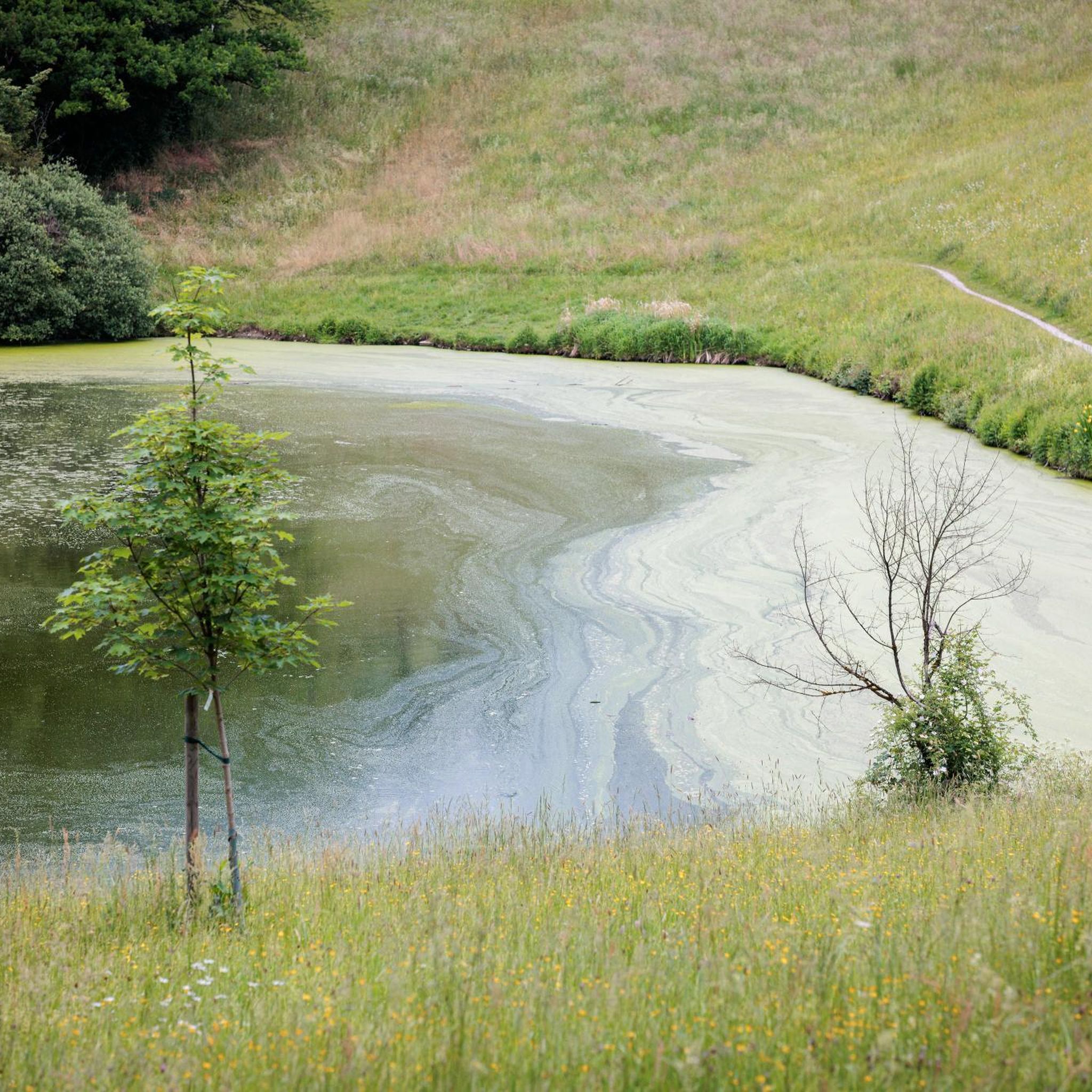
Super little spot for a pit-stop. Outside the old Abbey there are a few wooden benchs by a pond.
0
0


Small shop but has everything you could want. £1 card limit is a godsend when you forget to buy water. Believe there is an instant coffee machine if you need a warm up but plenty of sugar on sale!
0
0

Good for a little explore.
0
0
The Trent is the third-longest river in the United Kingdom. Its source is in Staffordshire, on the southern edge of Biddulph Moor. It flows through and drains the North Midlands. The river is known for dramatic flooding after storms and spring snowmelt, which in the past often caused the river to change course.
0
0
Frequently Asked Questions
How many road cycling routes are available around Croxton?
There are over 75 road cycling routes around Croxton, offering a wide range of options for different skill levels and preferences. The komoot community has explored these routes over 900 times.
What kind of terrain can I expect on road cycling routes in Croxton?
Road cycling routes in Croxton feature an undulating landscape with rolling hills, open countryside, and scattered woodlands. You'll find a mix of road surfaces, from flatter sections to routes with moderate climbs, reflecting the area's mixed farming land.
Are there routes suitable for beginners or those looking for an easy ride?
Yes, Croxton offers numerous easy road cycling routes. For example, the Cafe at 6 loop from Ulceby is an easy 27.8-mile (44.7 km) trail with gentle climbs, typically completed in under two hours. Another easy option is the Thornton Abbey and Gatehouse – Steep Hill Climb loop from Ulceby, which is 30.2 miles (48.6 km) and passes historical landmarks.
What are some challenging road cycling routes in Croxton?
For a more challenging experience, consider routes with significant elevation gain. The View of the Humber Bridge – Julian's Bower Turf Maze loop from Ulceby is a moderate 67.4-mile (108.5 km) path that offers expansive views and notable elevation over its length. While most routes are easy to moderate, there are options for those seeking a greater test of endurance.
What landmarks or points of interest can I see along the road cycling routes?
Many routes pass by interesting landmarks and natural features. You can cycle past historical sites like Thornton Abbey and Gatehouse. Other points of interest include the Somerby Monument and various viewpoints like the Steep Hill Climb. The region's landscape also features ancient woodlands and rolling sandstone hills.
Are there any circular road cycling routes in Croxton?
Yes, many of the road cycling routes around Croxton are designed as loops, allowing you to start and finish in the same location. Examples include the Cafe at 6 – Thornton Abbey and Gatehouse loop from Ulceby, which is an easy 24.7-mile (39.7 km) ride, and the longer Thornton Abbey and Gatehouse – Cafe at 6 loop from Ulceby.
What do other cyclists say about road cycling in Croxton?
The road cycling routes in Croxton are highly rated by the komoot community, with an average score of 4.9 stars from around 30 reviews. Cyclists often praise the varied terrain, the open countryside views, and the options available for different ability levels.
Is Croxton suitable for family-friendly road cycling?
While specific 'family-friendly' routes are not explicitly detailed, the presence of numerous easy routes with gentle climbs suggests that some sections could be suitable for families with older children or those comfortable with road cycling. Always check the route's distance and elevation profile to ensure it matches your family's capabilities.
What is the best time of year to go road cycling in Croxton?
Croxton's landscape of open fields and woodlands can be enjoyed throughout the warmer months, typically from spring to autumn. These seasons offer more predictable weather and pleasant temperatures for cycling. Always check local weather forecasts before heading out.
Are there options for parking when cycling in Croxton?
While specific parking locations for cyclists are not detailed in the route information, many starting points for routes, especially those originating from towns like Ulceby, typically offer public parking facilities. It's advisable to check local parking options for your chosen starting point.
Can I reach Croxton's cycling routes using public transport?
The region around Croxton, including areas like Thetford near Croxton, Norfolk, has seen developments in cycling infrastructure, such as the Croxton Road Cycle Link connecting to National Cycle Network routes. For specific public transport options to route starting points, it's best to consult local bus or train schedules for the nearest towns.
Are there any cafes or pubs along the road cycling routes for a stop?
Some routes are named after potential stops, such as the 'Cafe at 6' loop, suggesting that cafes or pubs are accessible along or near these routes. The region's villages and towns often provide opportunities for refreshment stops. It's recommended to check the route details or local maps for specific establishments.
Most popular routes around Croxton
Most popular attractions around Croxton

Get inspired with the komoot mobile app


Explore more
Browse the best Road cycling routes in other regions.
