The best road cycling routes around West Stockwith
4.2
(37)
1,485
riders
113
rides
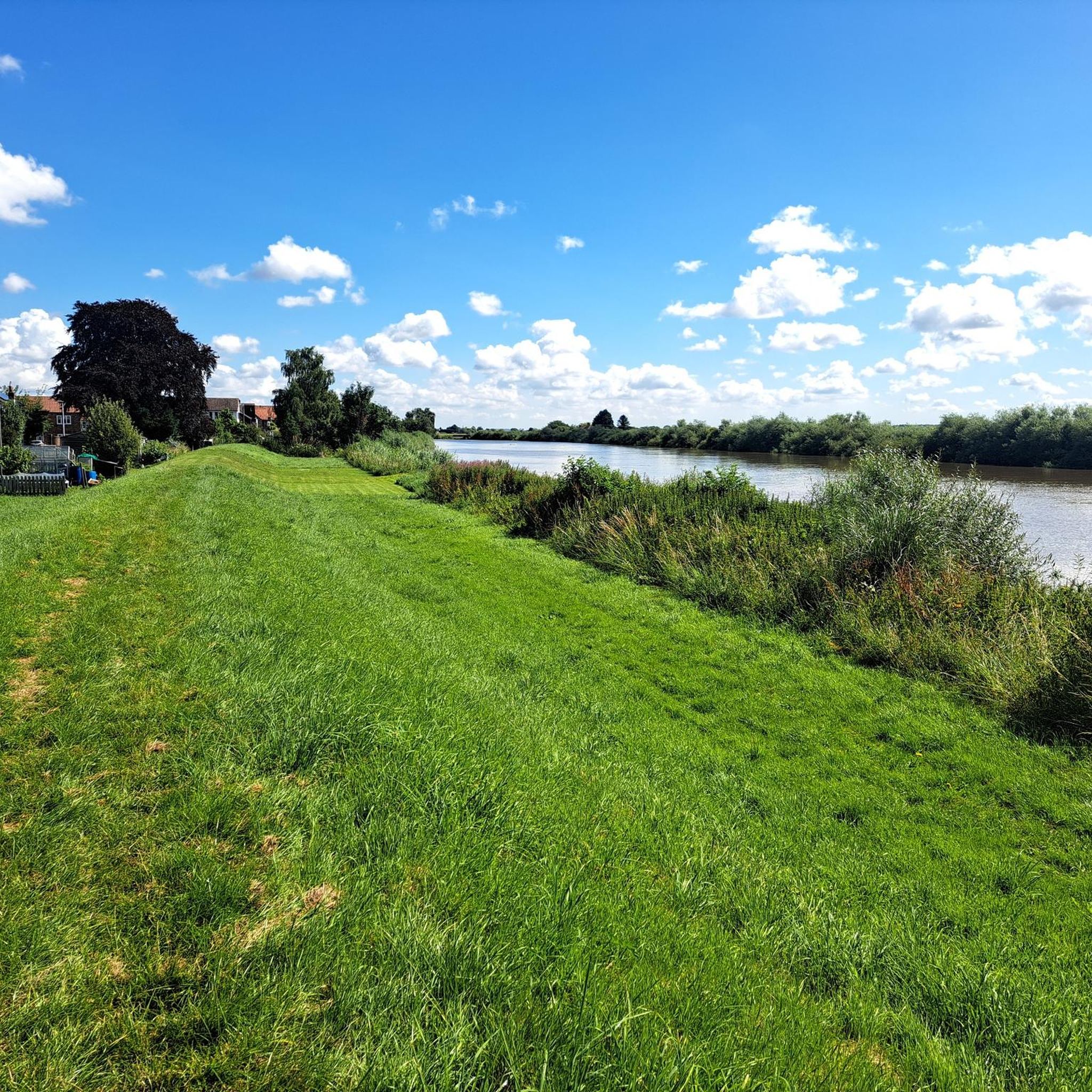
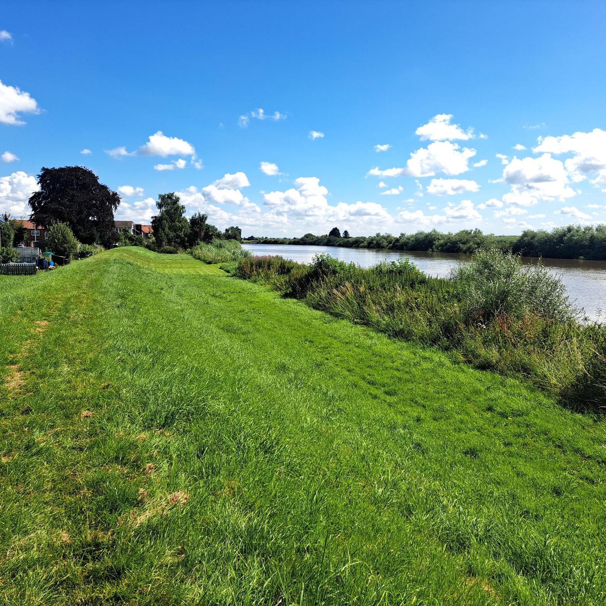
Road cycling routes around West Stockwith traverse a landscape characterized by low-lying agricultural land, the River Trent, and the Chesterfield Canal. The terrain is generally flat, with some routes featuring well-paved surfaces suitable for road bikes. Cyclists can expect to pass through serene countryside and charming villages, with occasional unpaved sections on some longer routes. The area offers a network of paths that connect natural features and historical points of interest.
Best road cycling routes around West Stockwith
- The most…
Last updated: July 15, 2026
32
riders
60.5km
02:31
230m
230m
Moderate road ride. Good fitness required. Mostly well-paved surfaces and easy to ride.
25
riders
60.0km
02:23
160m
160m
Moderate road ride. Good fitness required. Mostly well-paved surfaces and easy to ride.

Sign up for free
24
riders
43.7km
01:42
130m
130m
Easy road ride. Great for any fitness level. Mostly well-paved surfaces and easy to ride.
23
riders
49.0km
02:11
270m
270m
Moderate road ride. Good fitness required. Some segments of this route may be unpaved and difficult to ride.
4.0
(1)
15
riders
72.1km
03:24
300m
300m
Moderate road ride. Good fitness required. Some segments of this route may be unpaved and difficult to ride.
Get access to more routes and recommendations from other explorers.
Sign up for free
Already have an account?
Our route recommendations are based on thousands of hikes, rides, and runs completed by other people on komoot.
Start today with a free account
Your next adventure awaits.
Login or Signup

Tips from the Community

Narrow shared use path over the bridge, best to dismount if anyone coming the other way.
0
0


Torksey Viaduct is closed. I was there on Friday 7th March 2025 and I ended up cycling south on A road to Dunham Bridge and back north to rejoin the route (Lincoln Gravel Imp). The viaduct may reopen in the future if a new leaseholder is found. Here is some info I found about the closure railwaypaths.org.uk/category/latest-news
0
0

Worth stopping for these beautiful murals by Phoebe Traquair
1
0

The viaduct creates a link between Nottinghamshire and Lincolnshire. The structure offers fantastic views of the ruined Torksey Castle.
0
0
Torksey Lock is a canal lock on the Fossdyke Navigation Canal near Lincoln, England. It's a popular spot for leisure craft, wildlife watching, and walking. The Fossdyke Navigation Canal was originally dug in Roman times but was re-opened during the reign of James I. The lock controls the outfall to the River Trent.
0
0

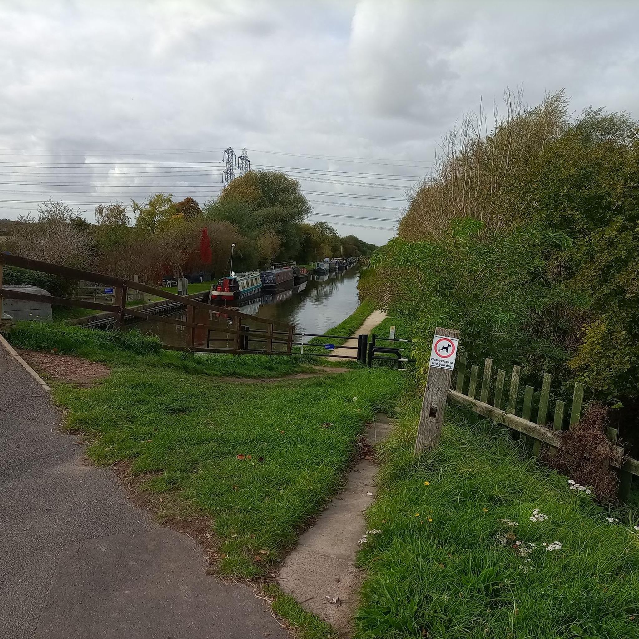
This is the joint of the Trent and a marina with a lock protecting the Chesterfield canal. This is my commencement point to complete a cycle of the whole Chesterfield canal top to toe.
0
0
You can go straight on and miss out the Marina and West Stockwith Yacht Club if you are heading to the start of the chesterfield canal.
0
0
Frequently Asked Questions
How many road cycling routes are available around West Stockwith?
There are over 100 road cycling routes around West Stockwith, catering to various fitness levels. You'll find a good mix of easy and moderate rides, with 48 easy routes and 70 moderate routes available.
What is the typical terrain like for road cycling in the West Stockwith area?
The terrain around West Stockwith is generally flat, characterized by low-lying agricultural land, the River Trent, and the Chesterfield Canal. Most routes feature well-paved surfaces suitable for road bikes, though some longer excursions might include short unpaved sections.
What historical landmarks or natural features can I see while road cycling near West Stockwith?
You can encounter several interesting points. The River Trent Riverside Path offers scenic views, and you might pass by the historic North Leverton Windmill. The area is also close to the Idle Valley Nature Reserve, one of Nottinghamshire's largest wetland reserves, offering diverse natural beauty.
Are there any cafes or places to stop for refreshments along the road cycling routes?
Yes, several popular routes, such as The Pantry Café – Drakeholes Tunnel loop from Misterton, start from or pass by cafes. The Pantry Café in Misterton is a known starting point, and routes like The Pantry Café – Café in Epworth loop from Misterton indicate other refreshment stops.
Are the Chesterfield Canal towpaths suitable for road bikes?
While the Chesterfield Canal towpath offers scenic riding, some sections, particularly towards Misterton, may be rugged or unpaved. It generally provides a stable surface, but road cyclists should be prepared for varied conditions, and some parts might be more suitable for hybrid or mountain bikes.
Are there family-friendly road cycling routes in West Stockwith?
Yes, the area offers easy routes suitable for families. For instance, Café in Epworth – St Nicholas' Church, Haxey loop from Misterton is an easy 34.2 km route with minimal elevation gain, making it a good option for a family outing.
What do other road cyclists enjoy most about cycling in West Stockwith?
The komoot community highly rates the road cycling experience in West Stockwith, with an average score of 4.20 stars from over 30 reviews. Cyclists often praise the serene countryside, the flat terrain, and the network of paths connecting natural features and charming villages.
Is there parking available for cyclists in West Stockwith?
While specific dedicated cyclist parking isn't detailed, many routes originate from villages like Misterton, where local parking options would typically be available. It's advisable to check local village car parks or specific starting points for the most convenient parking.
Can I access road cycling routes in West Stockwith using public transport?
Information on public transport access with cycle carriage policies for West Stockwith is limited. It's recommended to check local bus routes and their specific policies regarding bicycles, as services can vary.
What is the best time of year for road cycling in West Stockwith?
The region's open, low-lying agricultural land makes it enjoyable for cycling during most seasons. Spring and summer offer pleasant weather for exploring the countryside, while autumn provides scenic views. Always check local weather forecasts before heading out.
Are there any circular road cycling routes available?
Yes, many of the popular routes around West Stockwith are circular loops. Examples include North Leverton Windmill – Drakeholes Tunnel loop from Misterton and The Pantry Café – Althorpe Bridge loop from Misterton, offering convenient starting and ending points.
Are there any specific routes that pass by the Drakeholes Tunnel?
Yes, the The Pantry Café – Drakeholes Tunnel loop from Misterton is a popular 60.5 km route that specifically features the Drakeholes Tunnel as a point of interest along the way.
Most popular routes around West Stockwith
Most popular attractions around West Stockwith

Get inspired with the komoot mobile app


Explore more
Browse the best Road cycling routes in other regions.
