The best walks and hikes around Zaisenhausen
4.6
(94)
315
hikers
18
hikes
Hiking around Zaisenhausen provides access to diverse landscapes within the Kraichgau region, known for its undulating terrain. The area features rolling hills, expansive meadows, and fertile fields, with routes often winding through forests, vineyards, and meadow orchards. This varied scenery ensures a dynamic hiking experience, suitable for different preferences and fitness levels.
Best hiking trails around Zaisenhausen
- The most popular hiking route is ZH1 – Great Panorama Trail Zaisenhausen, a 7.3 miles (11.7 km) trail that takes 3 hours…
Last updated: June 29, 2026
4.5
(44)
147
hikers
11.7km
03:08
140m
130m
Moderate hike. Good fitness required. Easily-accessible paths. Suitable for all skill levels.
4.7
(26)
76
hikers
5.55km
01:32
100m
100m
Easy hike. Great for any fitness level. Easily-accessible paths. Suitable for all skill levels.

Sign up for free
3.8
(4)
20
hikers
Easy hike. Great for any fitness level. Easily-accessible paths. Suitable for all skill levels.
4.0
(3)
7
hikers
12.2km
03:17
160m
160m
Moderate hike. Good fitness required. Easily-accessible paths. Suitable for all skill levels.
4.3
(6)
8
hikers
4.53km
01:13
50m
50m
Easy hike. Great for any fitness level. Easily-accessible paths. Suitable for all skill levels.
Get access to more routes and recommendations from other explorers.
Sign up for free
Already have an account?
Our route recommendations are based on thousands of hikes, rides, and runs completed by other people on komoot.
Start today with a free account
Your next adventure awaits.
Login or Signup
Popular around Zaisenhausen
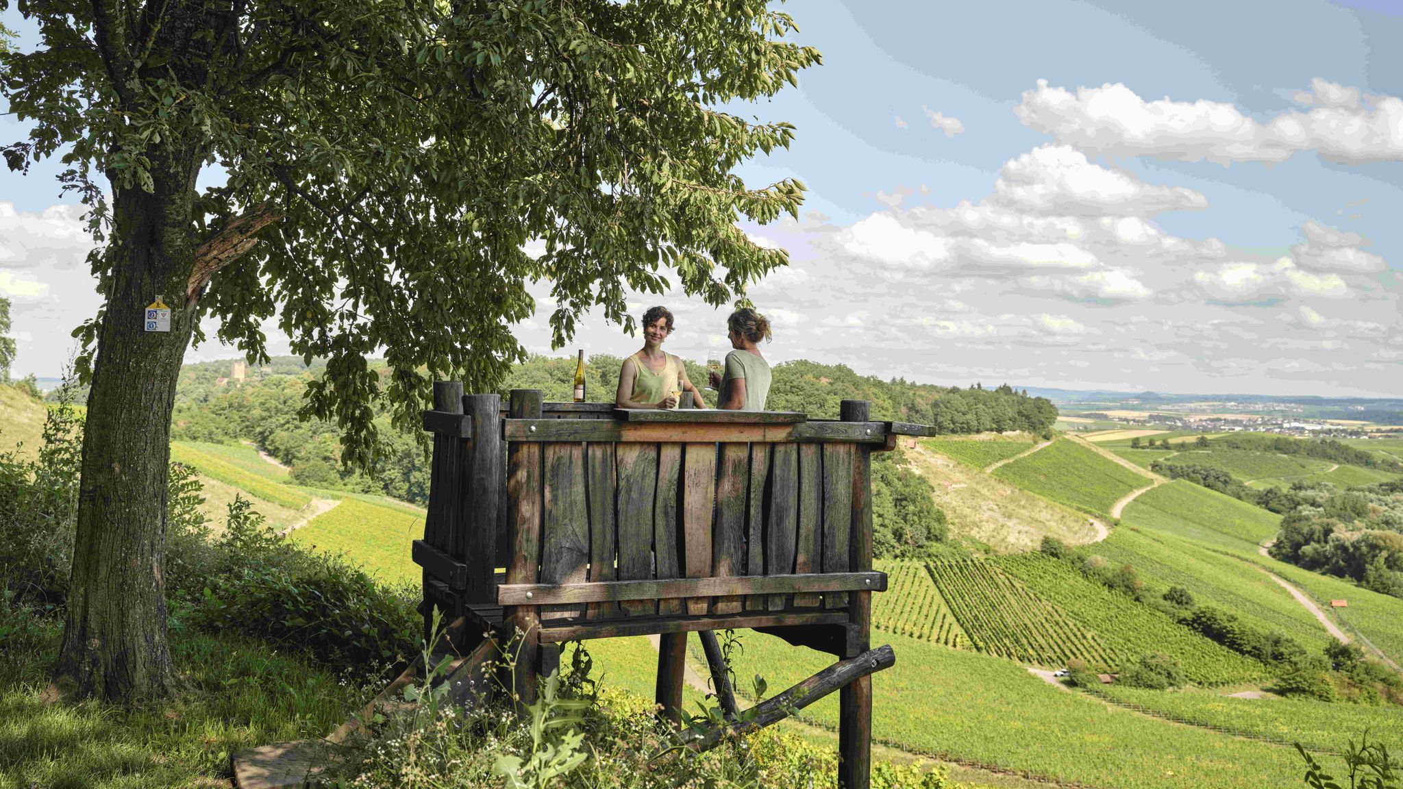
Genusswandern: Auf Wein(wander)wegen durch das Land der 1000 Hügel
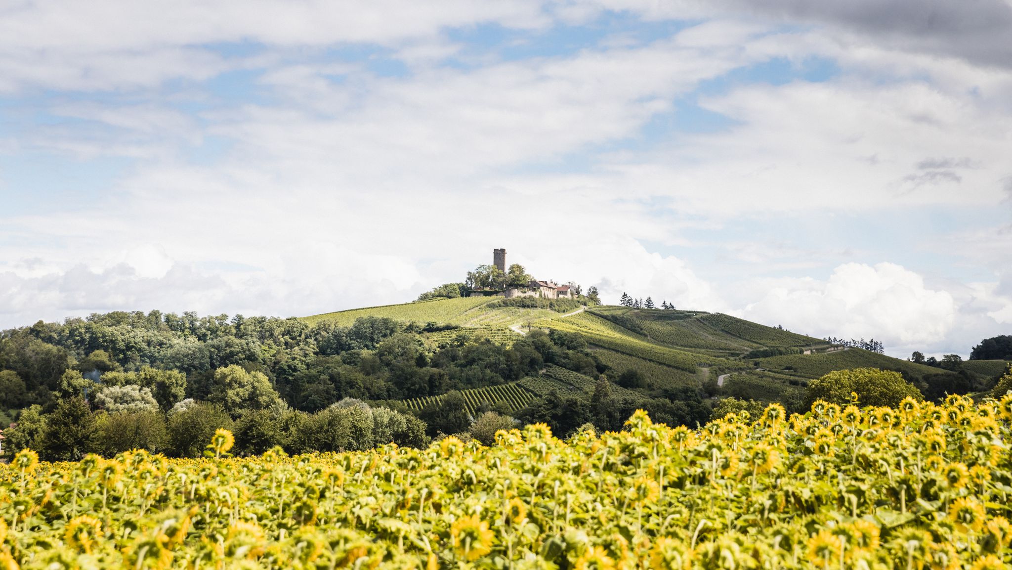
Wein, Wälder und Ruhe: Wanderungen in Sulzfeld und Zaisenhausen

Wander3Klänge: Einfach Los Wandern im Naturpark Stromberg-Heuchelberg

Zu Fuß durchs Land der 1000 Hügel
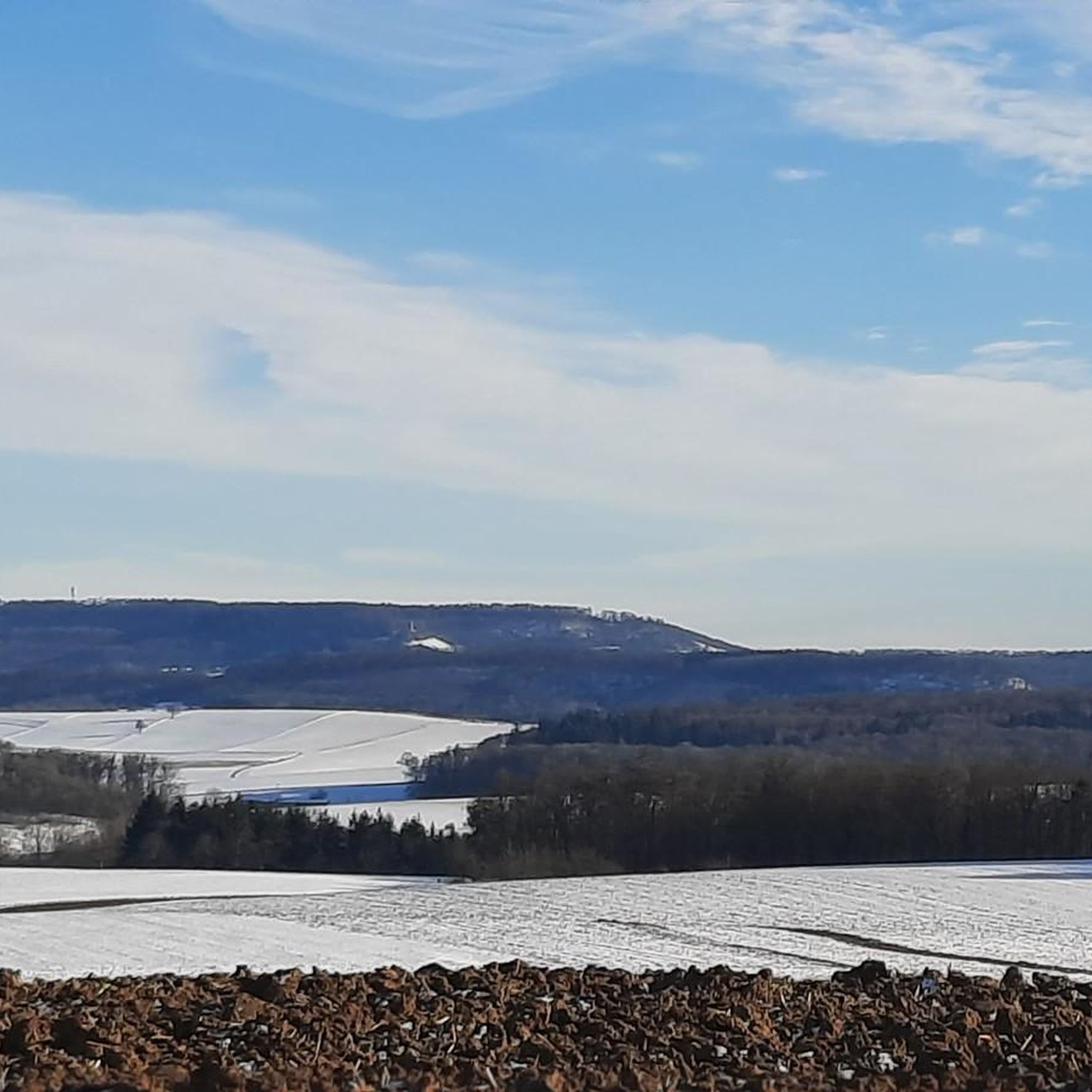
Road Cycling Routes around Zaisenhausen
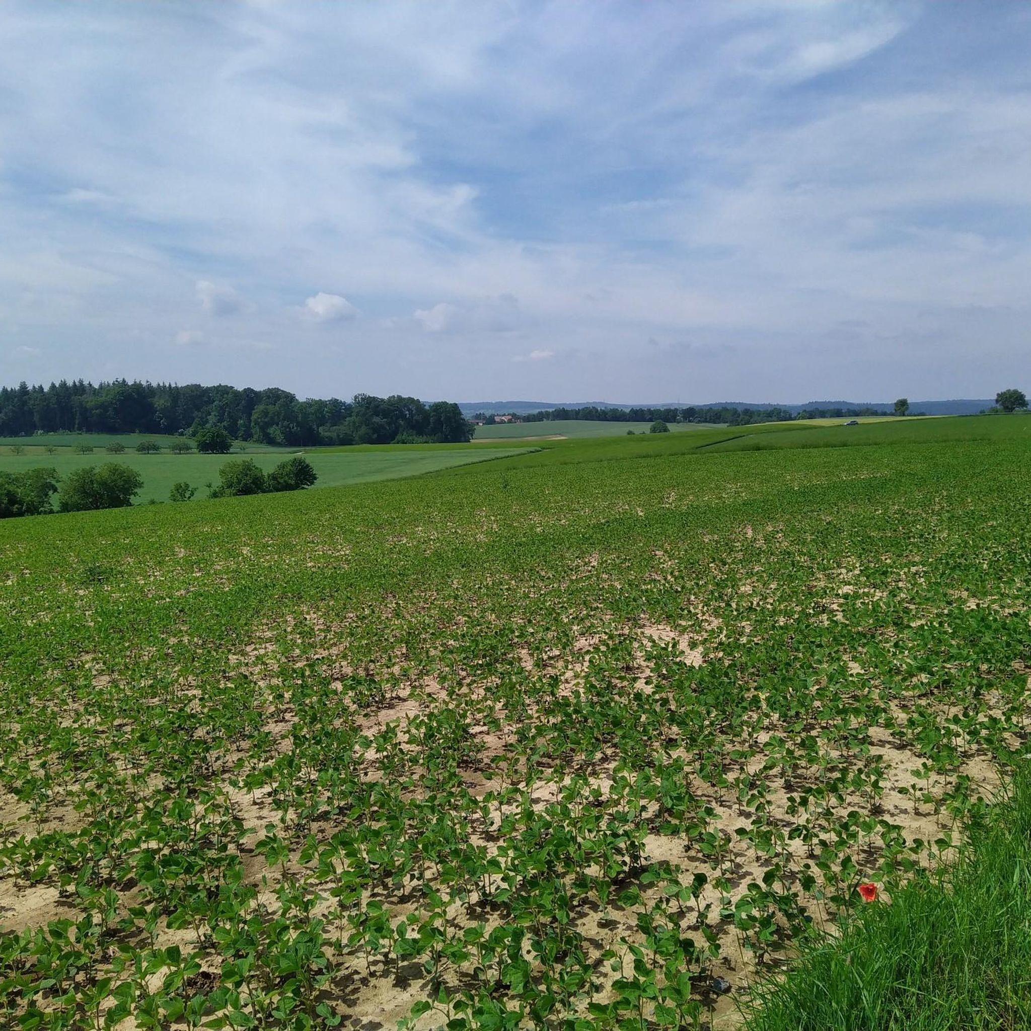
Cycling around Zaisenhausen
MTB Trails around Zaisenhausen
Gravel biking around Zaisenhausen
Running Trails around Zaisenhausen
Other adventures around Zaisenhausen

Tips from the Community

Great, small town center. However, the route along the gardens is worth it. Very idyllic...
0
0

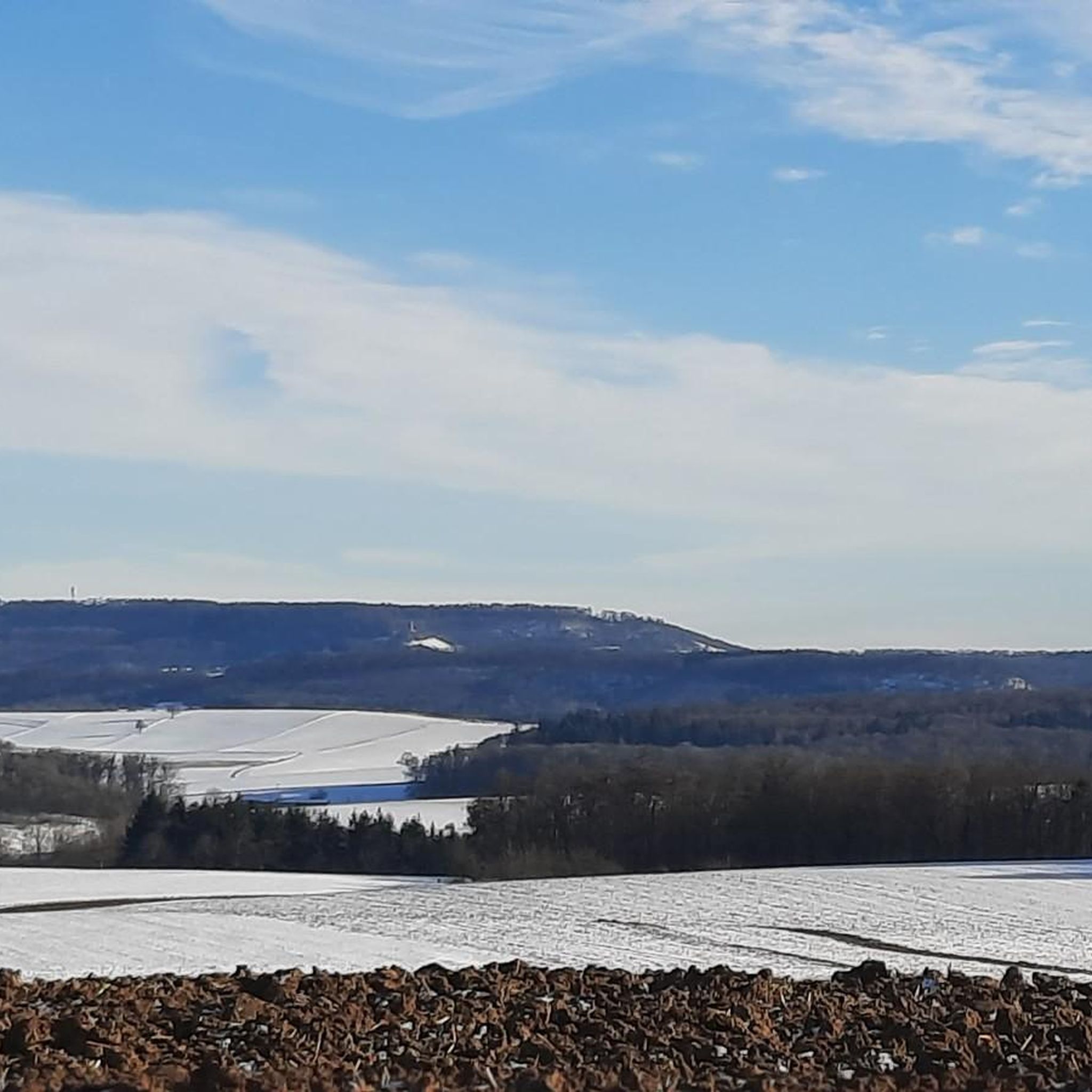
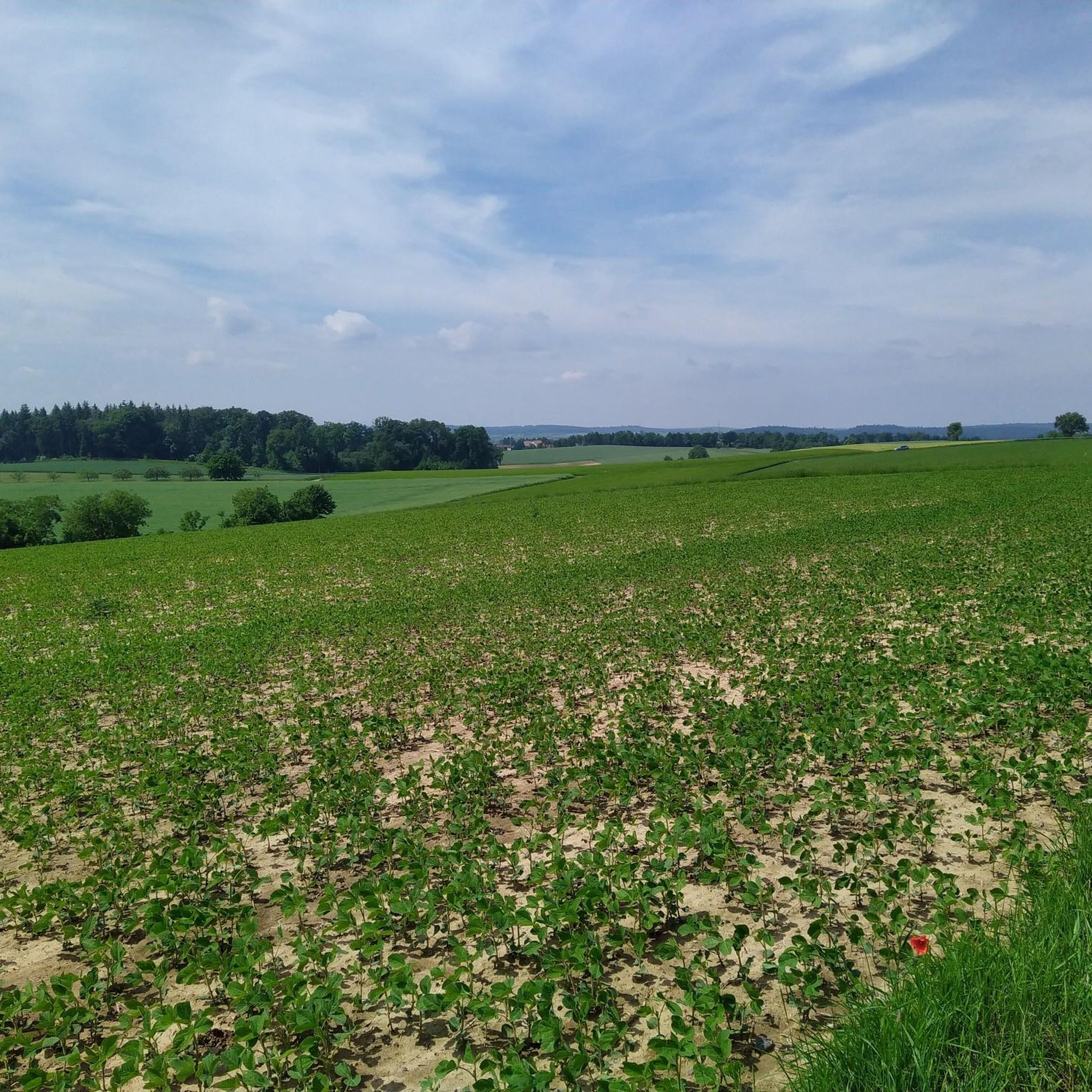
Beautiful view of the hilly landscape
0
0
Claffenbrunnen at the Claffenbrunnenbächle and a shady resting spot
0
0
Free hiking parking lot at Zaisenhausen cemetery
0
0

Here is a great outdoor xylophone that invites you to play.
0
0

From February 26, 2026, the castle and catering will be closed until further notice.
2
0

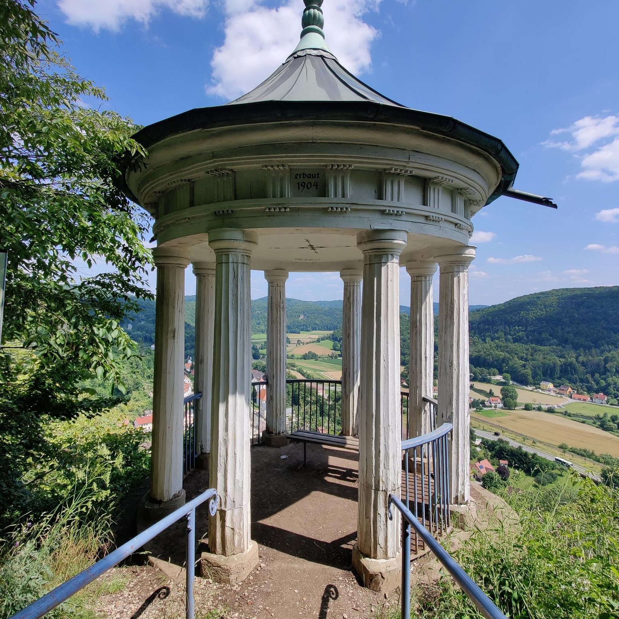
Beautiful view over Sulzfeld
0
0
Frequently Asked Questions
How many hiking trails are there in Zaisenhausen?
Zaisenhausen offers a diverse network of nearly 20 hiking trails, catering to various preferences and fitness levels. These routes explore the region's characteristic rolling hills, vineyards, and meadow orchards.
What kind of terrain can I expect when hiking around Zaisenhausen?
The Kraichgau region, where Zaisenhausen is located, is known as the 'land of 1000 hills.' You can expect undulating terrain with rolling hills, expansive meadows, fertile fields, and lush vineyards. Trails often wind through forests, vineyards, and meadow orchards, providing a dynamic and varied hiking experience.
Are there any easy hikes suitable for beginners in Zaisenhausen?
Yes, Zaisenhausen is very beginner-friendly, with 12 out of its 19 trails classified as easy. An excellent option is the ZH2 – Small Panorama Trail, which is 3.4 miles (5.5 km) long and takes about 1 hour 32 minutes to complete, offering gentle ascents and pleasant views.
Can I find circular hiking routes in Zaisenhausen?
Many of the trails around Zaisenhausen are circular, designed to showcase the local surroundings. A popular choice is the ZH1 – Great Panorama Trail Zaisenhausen, which is 7.3 miles (11.7 km) and offers extensive views of the Kraichgau region. Another option is the Beautiful view of the rolling hills – Claffenbrunnen loop from Zaisenhausen, a 4.6-mile (7.4 km) loop through hills and meadows.
What natural attractions or landmarks can I see while hiking?
The region offers several natural attractions. You can visit the Ehmetsklinge Reservoir or Katzenbachsee, both providing recreational opportunities and serving as starting points for hikes. Some routes also offer views of historical sites like Ravensburg Castle.
Is Zaisenhausen a good place for family-friendly hikes?
Yes, Zaisenhausen is well-suited for family hikes, especially given the abundance of easy trails. The varied landscape with meadows and forests provides an engaging environment for children. Many local circular routes are on well-paved paths, making them accessible for families.
Are dogs allowed on the hiking trails in Zaisenhausen?
Generally, dogs are welcome on hiking trails in Zaisenhausen. The diverse landscape of forests, fields, and vineyards offers plenty of space for dogs to enjoy. However, it's always advisable to keep dogs on a leash, especially when passing through agricultural areas or near wildlife, and to respect local regulations.
What is the best time of year to go hiking in Zaisenhausen?
Zaisenhausen benefits from a mild climate, making it suitable for hiking across all four seasons. Spring brings blossoming meadows, summer offers pleasant warmth, autumn showcases vibrant foliage, and winter can transform the landscape into a snowy wonderland. Each season offers a unique experience of the 'land of 1000 hills'.
How can I get to the hiking trails in Zaisenhausen using public transport?
Zaisenhausen has a railway station, making it accessible by public transport. Some routes, like the Zaisenhausen Railway Station – Stone Bench in Karlsruhe loop from Zaisenhausen, even start directly from the station, allowing for convenient access to the trails without needing a car.
Are there options for parking near the trailheads in Zaisenhausen?
Yes, parking is generally available near trailheads and in the village of Zaisenhausen. For specific routes, it's recommended to check the route details on komoot, as many popular starting points will have designated parking areas.
What do other hikers say about their experience in Zaisenhausen?
The hiking routes in Zaisenhausen are highly rated by the komoot community, with an average score of 4.6 stars from over 90 reviews. Hikers often praise the expansive views, the diverse landscapes of rolling hills and vineyards, and the well-maintained paths that make for an enjoyable experience.
Can I combine hiking with cultural sights in Zaisenhausen?
Yes, Zaisenhausen offers opportunities to integrate cultural exploration into your hikes. While not directly on every trail, attractions like the 18th-century Zaisenhausen Castle (now the town hall), the medieval St. Martin's Church, and the historic town center can be visited. The UNESCO World Heritage Site of Maulbronn Monastery is also within reach for a combined trip.
Most popular routes around Zaisenhausen
Most popular attractions around Zaisenhausen

Get inspired with the komoot mobile app


Explore more
Browse the best Hikes in other regions.
