The best cycling routes in the Wyoming Range
5.0
(1)
122
riders
5
rides
Touring cycling in the Wyoming Range offers diverse landscapes, from rolling open slopes dotted with sagebrush to dense forested hills and aspen groves. The region features significant elevation changes, providing panoramic mountain views, and includes areas along the Green River Basin and Greys River. Much of the cycling occurs within the Bridger-Teton National Forest, ensuring access to preserved natural environments.
Best touring cycling routes in the Wyoming Range
- The most popular touring cycling route is Squaw Creek Trail loop from…
Last updated: October 15, 2026
11
riders
Easy bike ride. Great for any fitness level. Mostly paved surfaces. Suitable for all skill levels.
8
riders
31.9km
01:55
250m
250m
Moderate bike ride. Good fitness required. Mostly paved surfaces. Suitable for all skill levels.

5
riders
26.8km
02:44
850m
850m
Hard bike ride. Very good fitness required. Mostly paved surfaces. Suitable for all skill levels.
6
riders
16.1km
00:58
90m
90m
Easy bike ride. Great for any fitness level. Mostly paved surfaces. Suitable for all skill levels.
5
riders
34.3km
02:31
350m
350m
Moderate bike ride. Good fitness required. Mostly paved surfaces. Suitable for all skill levels.
Our route recommendations are based on thousands of hikes, rides, and runs completed by other people on komoot.
Start today with a free account
Your next adventure awaits.

Tips from the Community

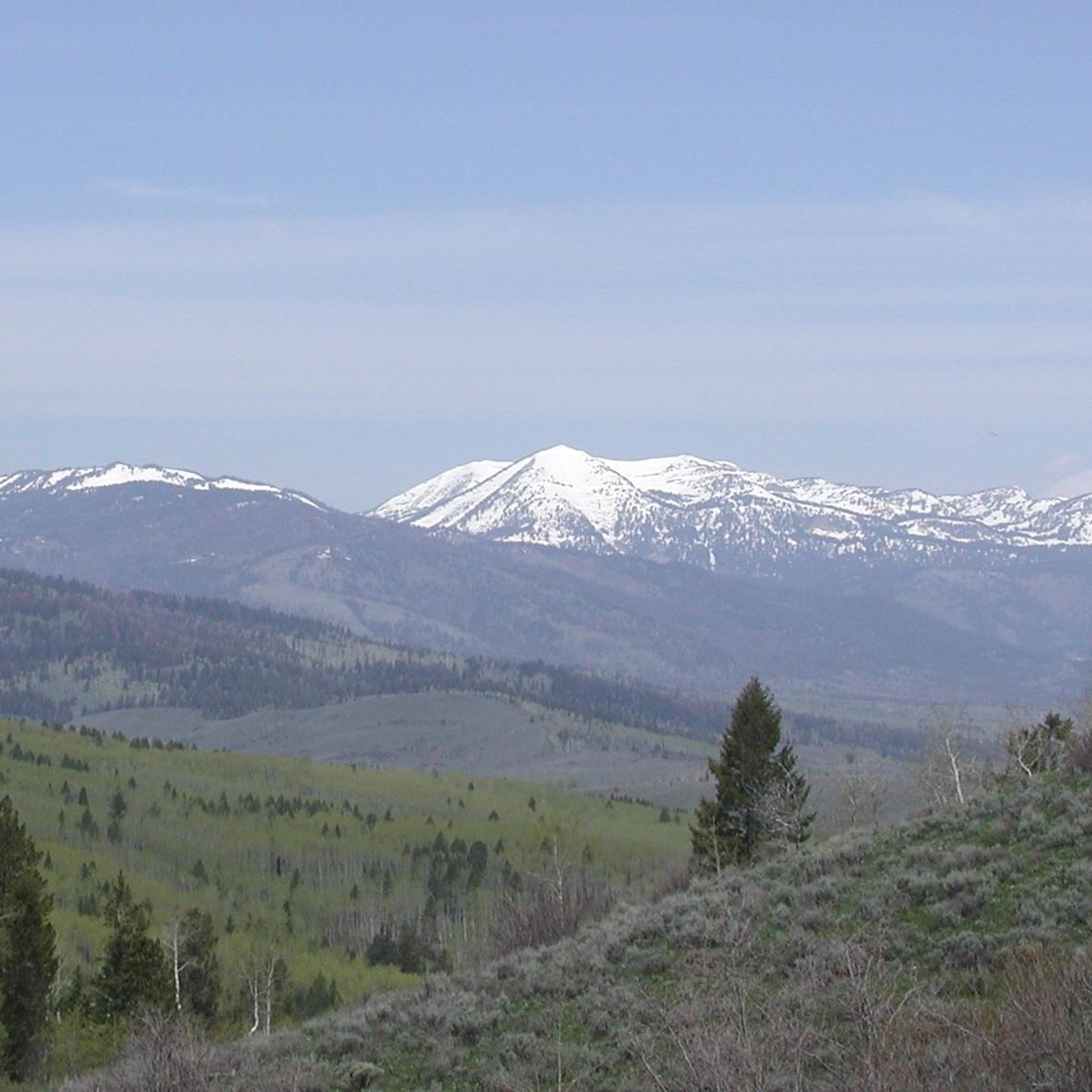
A first glimpse of the Grand Teton rising in the background. Even here it is already impressive
2
0
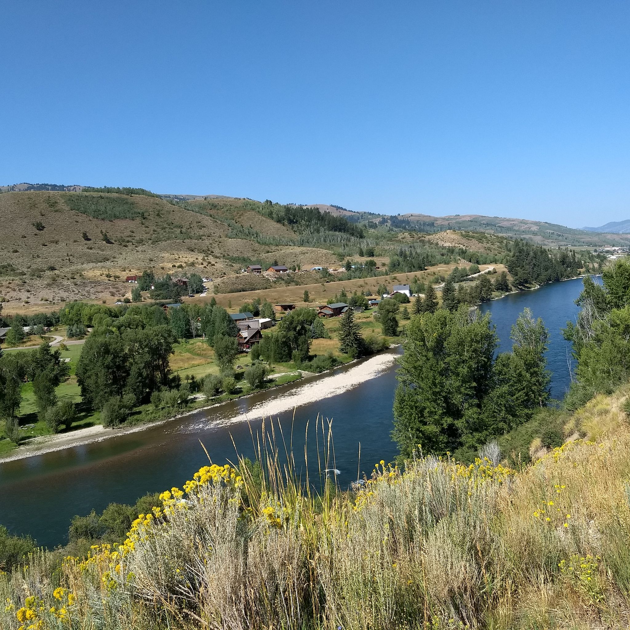
River that winds through Jackson in tight loops. The bank is very flat and I am sure that there are frequent floods that flood the houses
1
0


The Sink or Swim trail is one of the popular trail to get up Snow King Mountain. It is not technical, but there is a lot of elevation gain, so it can be challenging.
0
0

Here you can explore Jackson's many shops and restaurants. The main square is shaded, grassy, and features its iconic four elk antler arches.
0
0
The Center for the Arts is a 78,000 sq ft nonprofit arts campus featuring a 500‑seat main theater. It offers a full calendar of live performances, exhibitions, workshops, and community events.
0
0

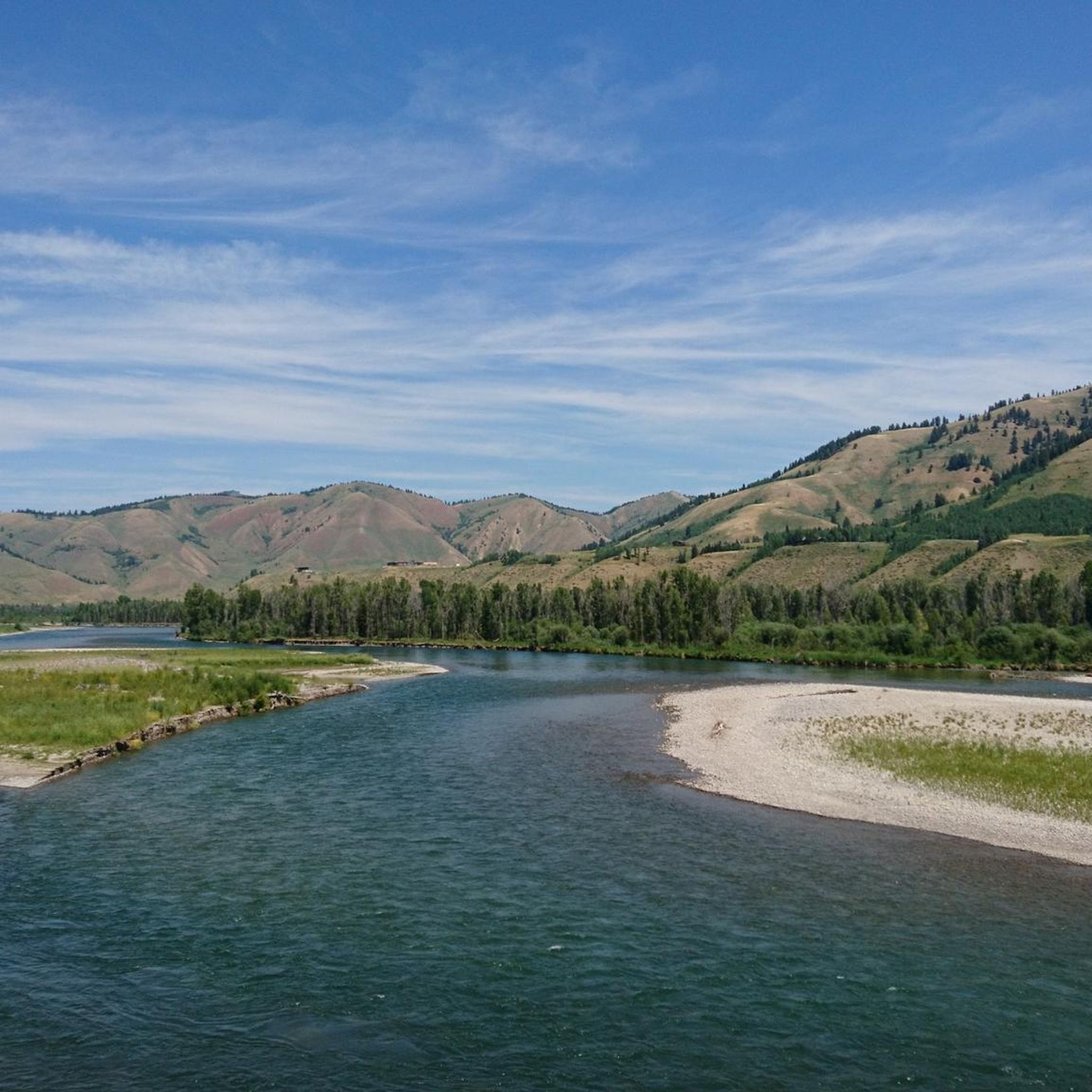
This corner of Rendezvous Park along the pathway intersects with Snake river and gives you a very nice up close view.
1
0

Small stream that runs through Jackson AZ with wonderful hiking trails branching off of the main trail.
0
0
Frequently Asked Questions
How many touring cycling routes are available in the Wyoming Range?
There are over 8 touring cycling routes documented in the Wyoming Range on komoot, catering to various skill levels. These include 2 easy routes, 4 moderate routes, and 2 difficult routes.
What kind of terrain can I expect on touring cycling routes in the Wyoming Range?
The Wyoming Range offers a diverse cycling landscape, from rolling open slopes dotted with sagebrush to dense forested hills and aspen groves. Many routes feature significant elevation changes, providing panoramic mountain views. Expect a mix of paved roads and extensive gravel/dirt roads, especially on more remote routes within the Bridger-Teton National Forest.
Are there any easy touring cycling routes suitable for beginners or families?
Yes, there are easy routes available. For a pleasant ride connecting town features, consider the Performing Arts Center – Jackson town square loop from Rafter J Ranch, which is 16.1 km long with minimal elevation gain. Another easy option offering scenic views is the View of Snake River – Snake River Bridge loop from Rafter J Ranch, spanning 21.9 km.
What are some challenging touring cycling routes in the Wyoming Range?
For experienced touring cyclists seeking a challenge, the Sink or Swim Trail – Sink or Swim Trail loop from Adam's Canyon Trailhead is a difficult 27.0 km path with substantial elevation gain, navigating challenging terrain. The region also features extensive gravel and backcountry touring options with significant climbs, such as the 85-mile Wyoming Range Backcountry Gravel Loop, which involves 6,000 feet of climbing entirely on gravel and dirt roads.
What natural features or landmarks can I see along the touring cycling routes?
The Wyoming Range is rich in natural beauty and historical points. You can encounter diverse terrain including the Green River Basin and the Greys River. Notable landmarks and viewpoints include the Hoback Canyon State Historic Marker, Anne's Pond, and the View from Munger Mountain. The region also features the Henry's Rd Bypass (Snake River Valley) and Gibbs Creek.
When is the best time of year for touring cycling in the Wyoming Range?
The best time for touring cycling in the Wyoming Range is generally from July through September. This period avoids the heavy snows that can close many trails and roads, especially at higher elevations, which often exceed 9,000 feet. Always check local conditions before heading out.
What kind of wildlife might I encounter while cycling?
The Wyoming Range is home to abundant wildlife. Cyclists often have opportunities to spot elk, moose, deer, and antelope. More elusive species like grizzly and black bears, mountain lions, and lynx also inhabit the area, particularly in the Bridger-Teton National Forest. Always be aware of your surroundings and carry bear spray if venturing into remote areas.
Are there any loop routes for touring cyclists?
Yes, many routes in the Wyoming Range are designed as loops, allowing you to start and end at the same point. Examples include the moderate Squaw Creek Trail loop from Jackson and the more challenging Sink or Swim Trail – Sink or Swim Trail loop from Adam's Canyon Trailhead. The region is also known for extensive gravel loops like the 85-mile Wyoming Range Backcountry Gravel Loop.
What do other touring cyclists say about the routes in the Wyoming Range?
The touring cycling routes in the Wyoming Range are highly rated by the komoot community, with an average score of 5.0 stars. Cyclists often praise the diverse landscapes, minimal traffic, and the sense of solitude found on the gravel and dirt roads within the Bridger-Teton National Forest.
Are there multi-day touring cycling options in the Wyoming Range?
Yes, the Wyoming Range is ideal for multi-day touring, especially for those prepared for remote conditions. The 85-mile Wyoming Range Backcountry Gravel Loop, for instance, offers a challenging multi-day experience with 6,000 feet of climbing on gravel and dirt roads. Be aware that services are minimal to non-existent on these remote routes, so self-sufficiency is key.
Where can I find more information about the Wyoming Range region?
For additional regional information, you can visit the Visit Pinedale website, which provides details about the Wyoming Mountain Range and its attractions.
What should I know about parking and public transport for cycling routes?
While specific parking details vary by trailhead, many routes within the Bridger-Teton National Forest offer designated parking areas. Public transport options are generally limited in this remote region, so planning for personal vehicle access to trailheads is usually necessary. Always check local regulations for parking availability and any potential fees.
What are the elevation gains like on touring cycling routes in the Wyoming Range?
Cyclists in the Wyoming Range will encounter significant elevation changes. Many trails reach or are near crests above 9,000 feet, offering challenging climbs and rewarding panoramic views. For example, the Sink or Swim Trail – Sink or Swim Trail loop from Adam's Canyon Trailhead involves over 860 meters of ascent, and the Wyoming Range Backcountry Gravel Loop features 6,000 feet of climbing.
Most popular routes in the Wyoming Range
Most popular attractions in the Wyoming Range

Get inspired with the komoot mobile app


