The best walks and hikes around Wüstheuterode
4.7
(8716)
28,230
hikers
848
hikes
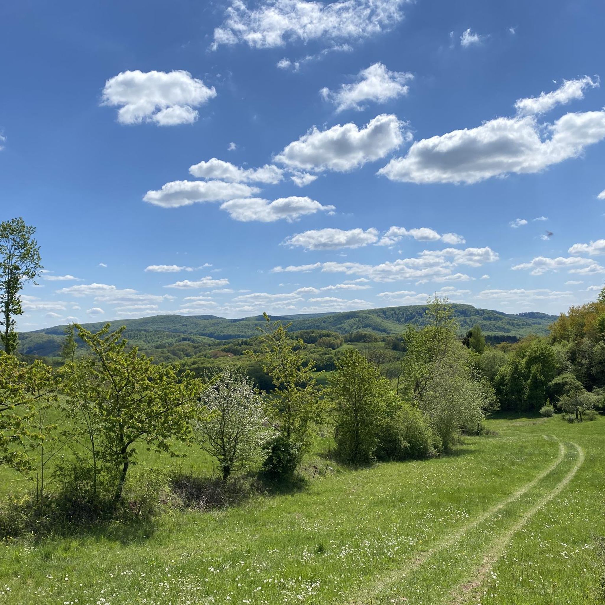
Hiking around Wüstheuterode offers a network of trails through the region's characteristic rolling hills and dense woodlands. The landscape features a mix of open fields and forested sections, providing varied scenery for outdoor activities. Elevations are generally moderate, making many routes accessible. The area is defined by its natural, rural environment, ideal for exploring on foot.
Best hiking trails around Wüstheuterode
- The most popular hiking route is Hiking loop from Wüstheuterode, a 3.4 miles (5.4 km) trail that takes…
Last updated: October 8, 2026
4.9
(13)
28
hikers
Moderate hike. Good fitness required. Easily-accessible paths. Suitable for all skill levels.
4.9
(7)
24
hikers
Easy hike. Great for any fitness level. Easily-accessible paths. Suitable for all skill levels.

4.5
(4)
18
hikers
8.87km
02:31
200m
200m
Moderate hike. Good fitness required. Easily-accessible paths. Suitable for all skill levels.
5.0
(2)
17
hikers
6.74km
01:54
140m
140m
Easy hike. Great for any fitness level. Easily-accessible paths. Suitable for all skill levels.
13
hikers
4.11km
01:11
100m
100m
Easy hike. Great for any fitness level. Easily-accessible paths. Suitable for all skill levels.
Get access to more routes and recommendations from other explorers.
Already have an account?
Our route recommendations are based on thousands of hikes, rides, and runs completed by other people on komoot.
Start today with a free account
Your next adventure awaits.
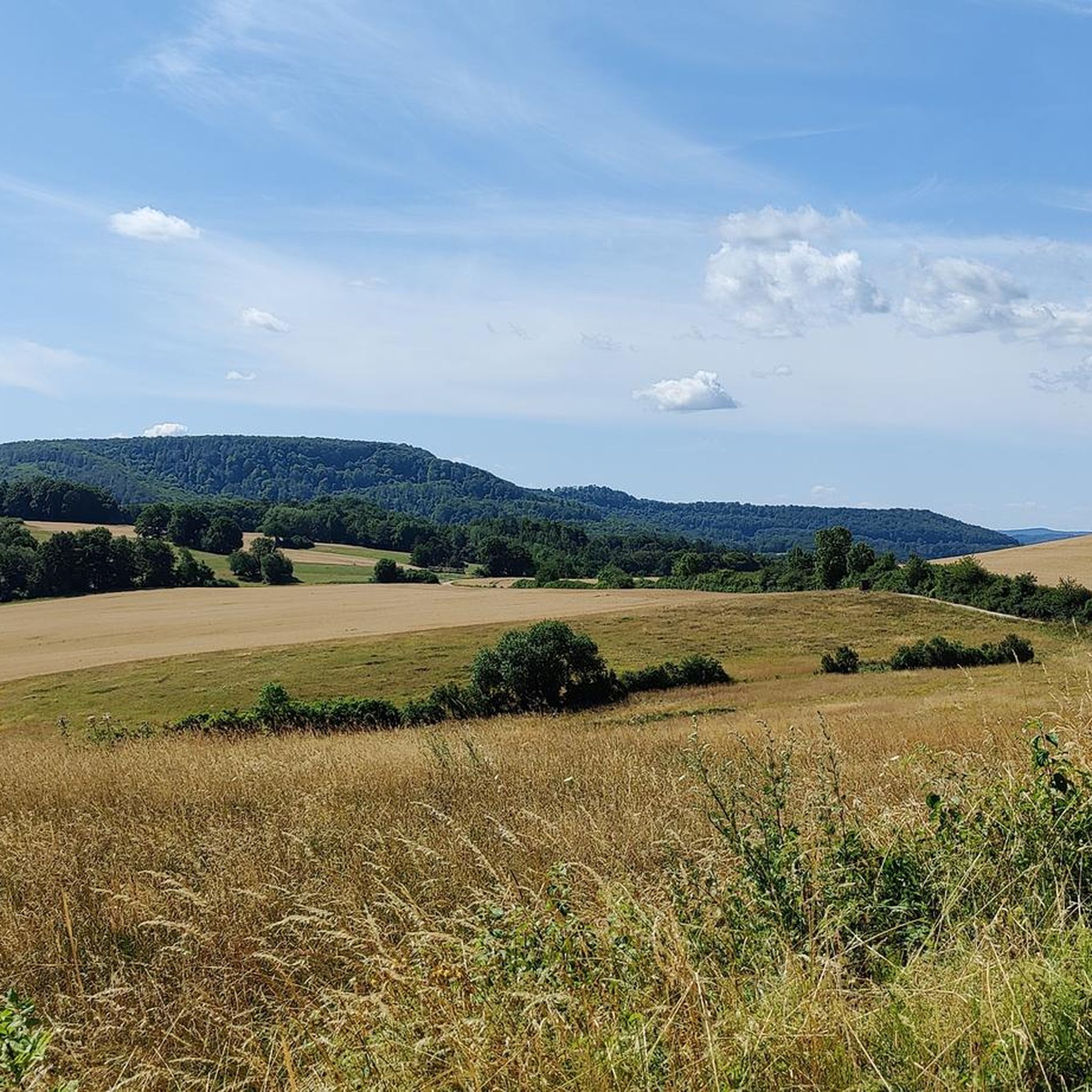
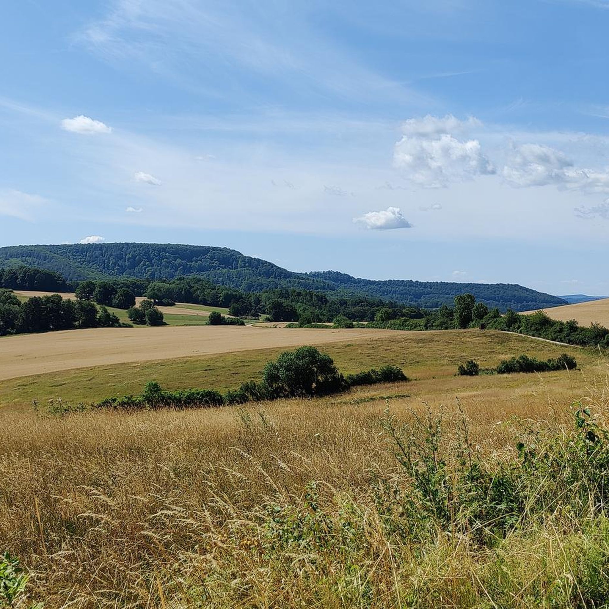
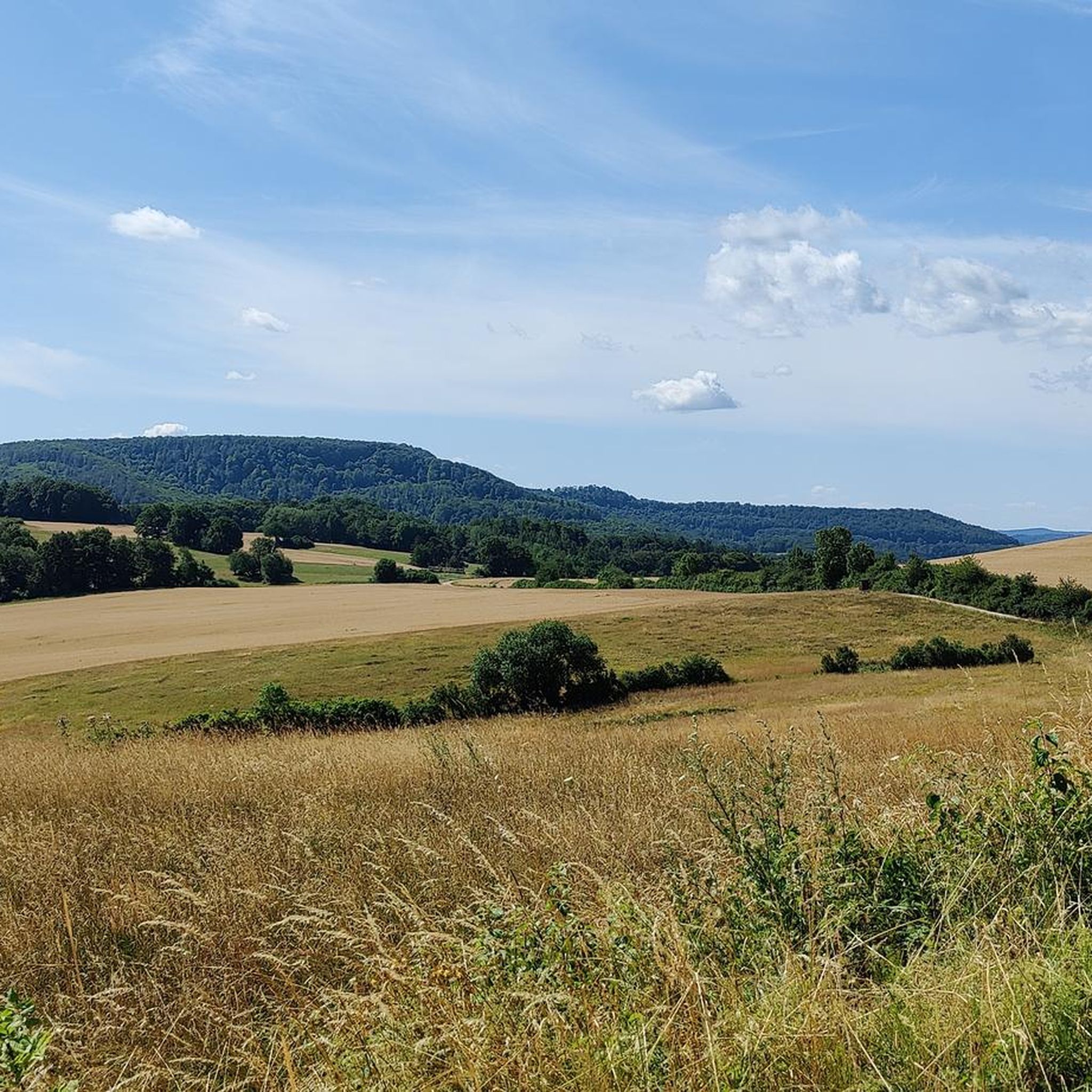
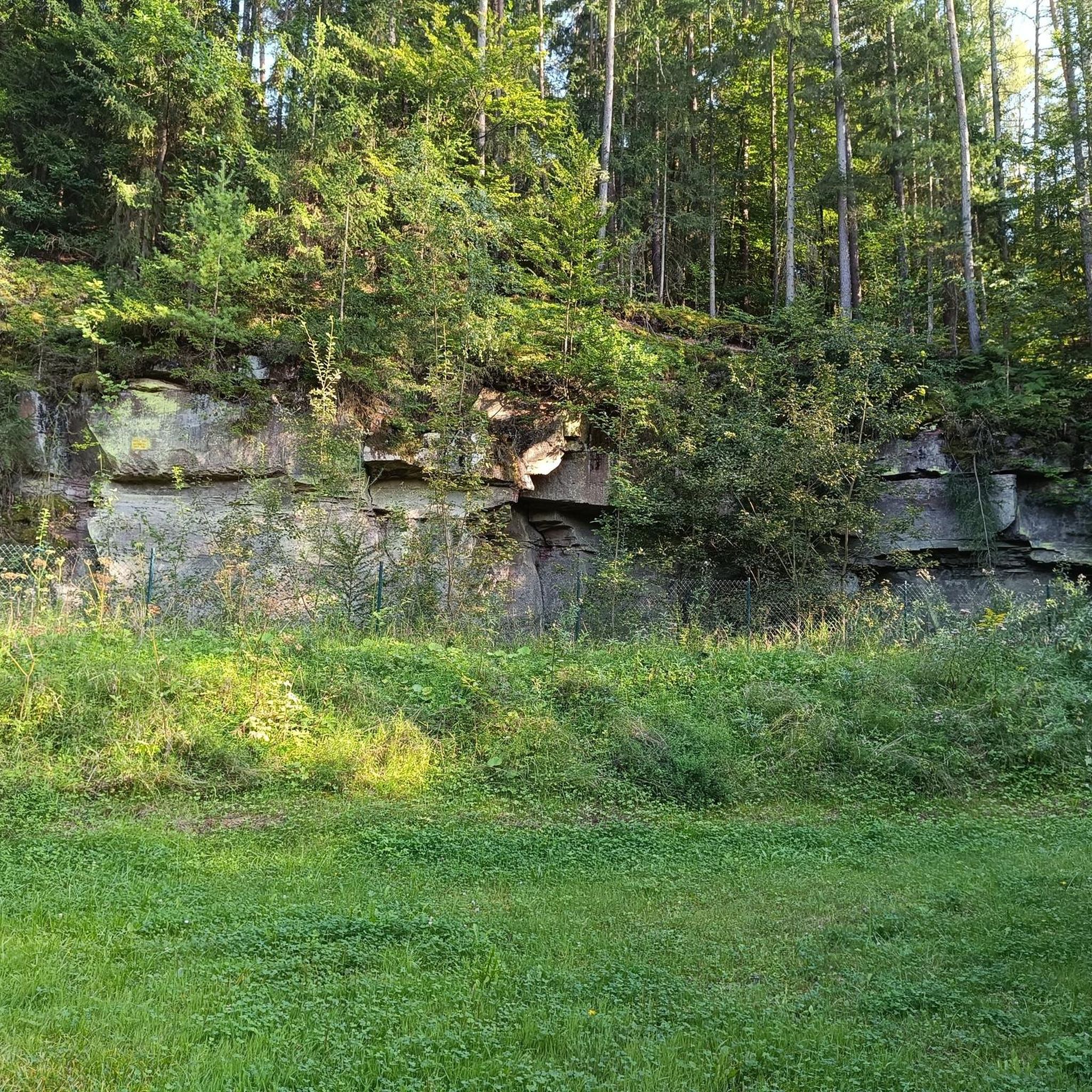
Tips from the Community

very nice view from here, I have to check out the hut, it wasn't there recently
0
0
very good view from here
0
0
when you walk or drive from Fürstenhagen to Wüstheuterode through the forest, you will pass by there
0
0
very nice, it is right next to the Thalwender cross
0
0
Short break in the shade, perfect here
1
0
Coming from Fürstenhagen, go down here towards Mackenrode into the valley or keep right towards Wüstheuterode
0
0
Frequently Asked Questions
How many hiking trails are there around Wüstheuterode?
Wüstheuterode offers a comprehensive network of over 800 hiking trails. This includes a wide variety of routes suitable for different skill levels and preferences, from short, easy walks to more challenging excursions through the region's diverse landscape.
Are there easy hiking trails suitable for beginners in Wüstheuterode?
Yes, Wüstheuterode has over 400 easy hiking routes. These trails typically feature moderate elevations and well-maintained paths, making them ideal for beginners or those seeking a relaxed walk. An example is the View of Röhrig – Röhrig Quarry loop from Röhrig, which is an easy 4.1 km (2.5 miles) route.
What kind of terrain can I expect on hikes around Wüstheuterode?
The hiking trails around Wüstheuterode are characterized by rolling hills, dense woodlands, and open rural landscapes. You'll find a mix of forested sections and open fields, providing varied scenery. Elevations are generally moderate, offering a pleasant challenge without extreme climbs.
Are there any circular walks available in Wüstheuterode?
Many of the trails in Wüstheuterode are designed as circular routes, allowing you to start and end at the same point. For instance, the Crested Coral Fungus – Bench at Röhrigsberg loop from Röhrig is an easy 4.7 km (2.9 miles) circular hike that takes you through pleasant natural surroundings.
What are some interesting viewpoints or natural attractions to see while hiking?
The region around Wüstheuterode offers several scenic spots. You can find viewpoints like the View from Silberklippe or the View of Krombach. Additionally, there are unique natural features such as the Dwarf Cave and the Abri Walterstein I and Dreilochnadel, which add to the exploration.
Are there challenging hiking routes for experienced hikers?
While many routes are moderate, Wüstheuterode does offer some more challenging options for experienced hikers, with 49 routes classified as difficult. These trails typically feature steeper ascents and descents or longer distances, providing a more strenuous experience through the varied terrain.
What do other hikers enjoy most about Wüstheuterode?
The hiking experiences in Wüstheuterode are highly rated by the komoot community, with an average score of 4.7 stars from over 7,600 reviews. Hikers often praise the quiet woodlands, the well-marked paths, and the diverse scenery that combines open fields with dense forests, making it an ideal destination for nature lovers.
Is Wüstheuterode suitable for family-friendly hikes?
Yes, the area is well-suited for family-friendly hikes, especially given the large number of easy and moderate trails. The rolling hills and varied landscapes provide engaging environments for children, and many routes are not overly long or strenuous, making them accessible for families with younger members.
Are there options for winter hiking in Wüstheuterode?
While specific winter trail conditions can vary, the general terrain of rolling hills and woodlands around Wüstheuterode can be suitable for winter hiking, especially on cleared or well-trodden paths. It's always advisable to check local conditions and weather forecasts before heading out in winter.
How can I find less crowded hiking trails in Wüstheuterode?
To find less crowded trails, consider exploring some of the lesser-known routes or hiking during off-peak hours (early mornings or weekdays). With over 800 trails available, there are many opportunities to discover quieter paths away from the most popular spots, allowing for a more serene experience in nature.
Is public transport available to reach trailheads in Wüstheuterode?
Information on specific public transport links to individual trailheads in Wüstheuterode is best checked with local transport authorities. However, as a rural area, public transport options might be limited, and driving to trailheads is often the most convenient method for many visitors.
Are there parking facilities available near the hiking trails?
In rural areas like Wüstheuterode, parking is typically available at or near popular trailheads and village centers. It's common to find designated parking areas, though their size may vary. Always look for official parking signs and respect private property.
Most popular attractions around Wüstheuterode

Get inspired with the komoot mobile app


Explore more
Browse the best Hikes in other regions.
