The best walks and hikes around Wolsdorf
4.6
(5179)
17,801
hikers
29
hikes
Hiking around Wolsdorf offers a variety of landscapes, characterized by a mix of forests, hills, and varied terrain. The region features picturesque brook valleys, such as the Lutter valley, which is fed by the Abbot Fabricius Spring (Lutterspring). Elevation changes are generally gentle, making many routes accessible for casual walkers. This area provides a network of trails suitable for exploring natural features and local points of interest.
Best hiking trails around Wolsdorf
- The most popular hiking route is Elz loop…
Last updated: October 13, 2026
4.5
(18)
72
hikers
3.97km
01:02
30m
30m
Easy hike. Great for any fitness level. Easily-accessible paths. Suitable for all skill levels.
4.9
(33)
72
hikers
5.83km
01:31
40m
40m
Easy hike. Great for any fitness level. Easily-accessible paths. Suitable for all skill levels.

4.8
(12)
38
hikers
10.1km
02:38
80m
80m
Moderate hike. Good fitness required. Easily-accessible paths. Suitable for all skill levels.
4.8
(14)
55
hikers
4.06km
01:04
30m
30m
Easy hike. Great for any fitness level. Easily-accessible paths. Suitable for all skill levels.
4.5
(4)
24
hikers
10.3km
02:42
80m
80m
Moderate hike. Good fitness required. Easily-accessible paths. Suitable for all skill levels.
Get access to more routes and recommendations from other explorers.
Already have an account?
Our route recommendations are based on thousands of hikes, rides, and runs completed by other people on komoot.
Start today with a free account
Your next adventure awaits.
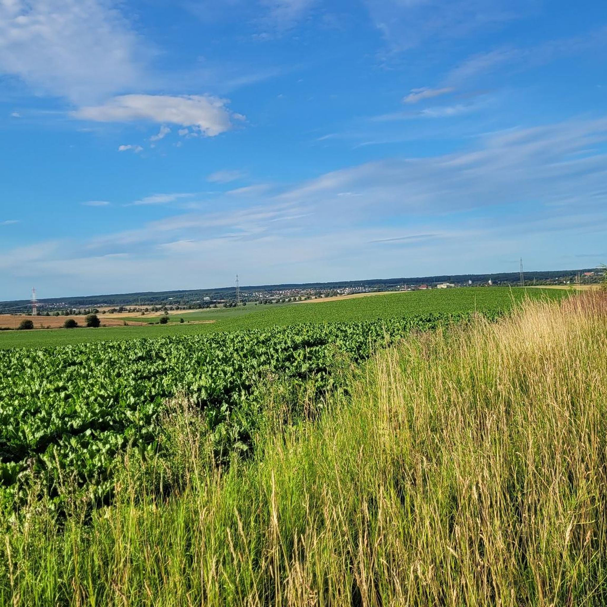
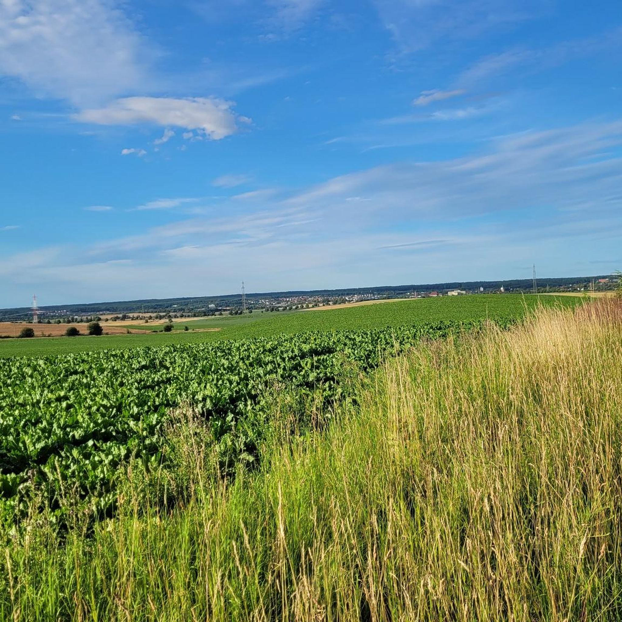
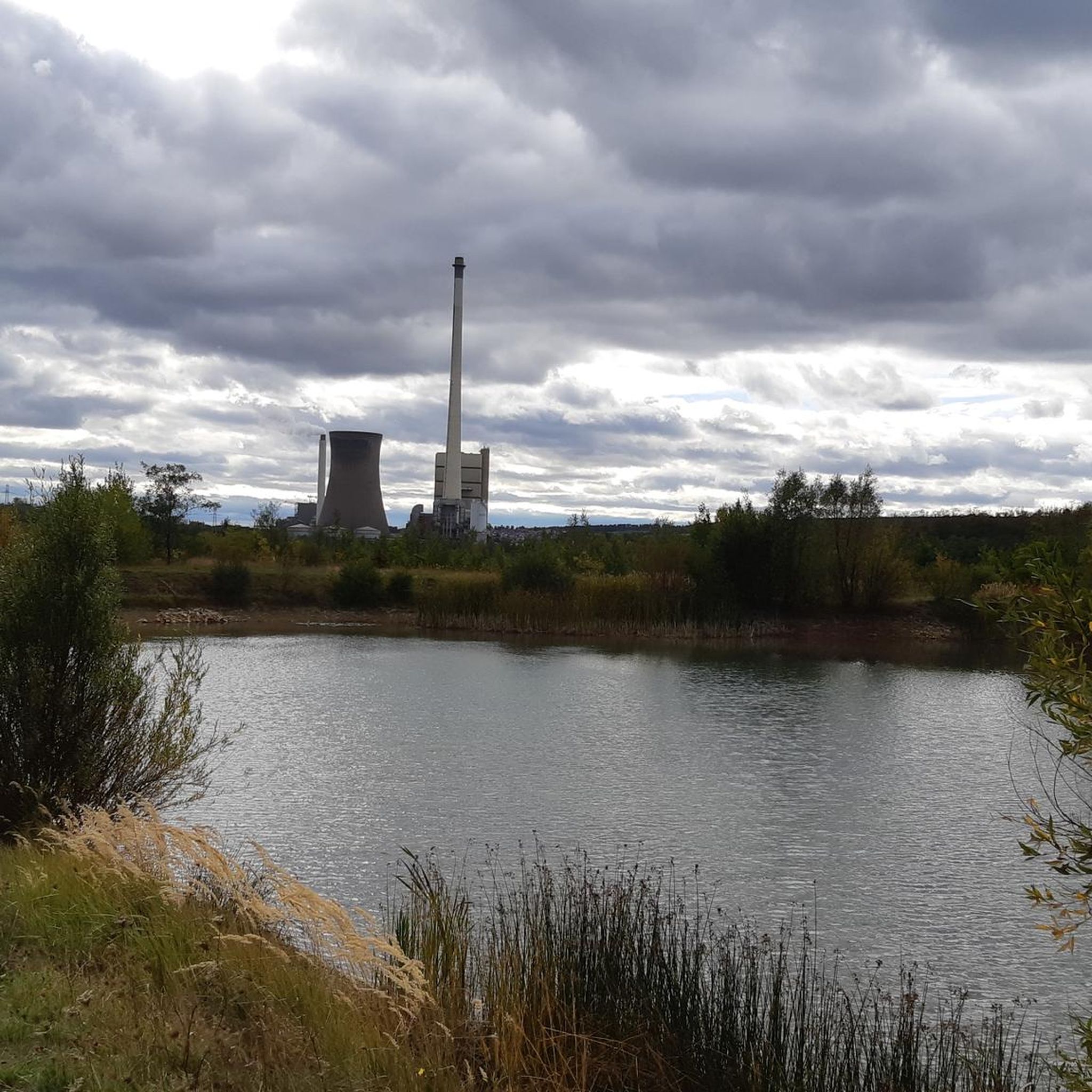
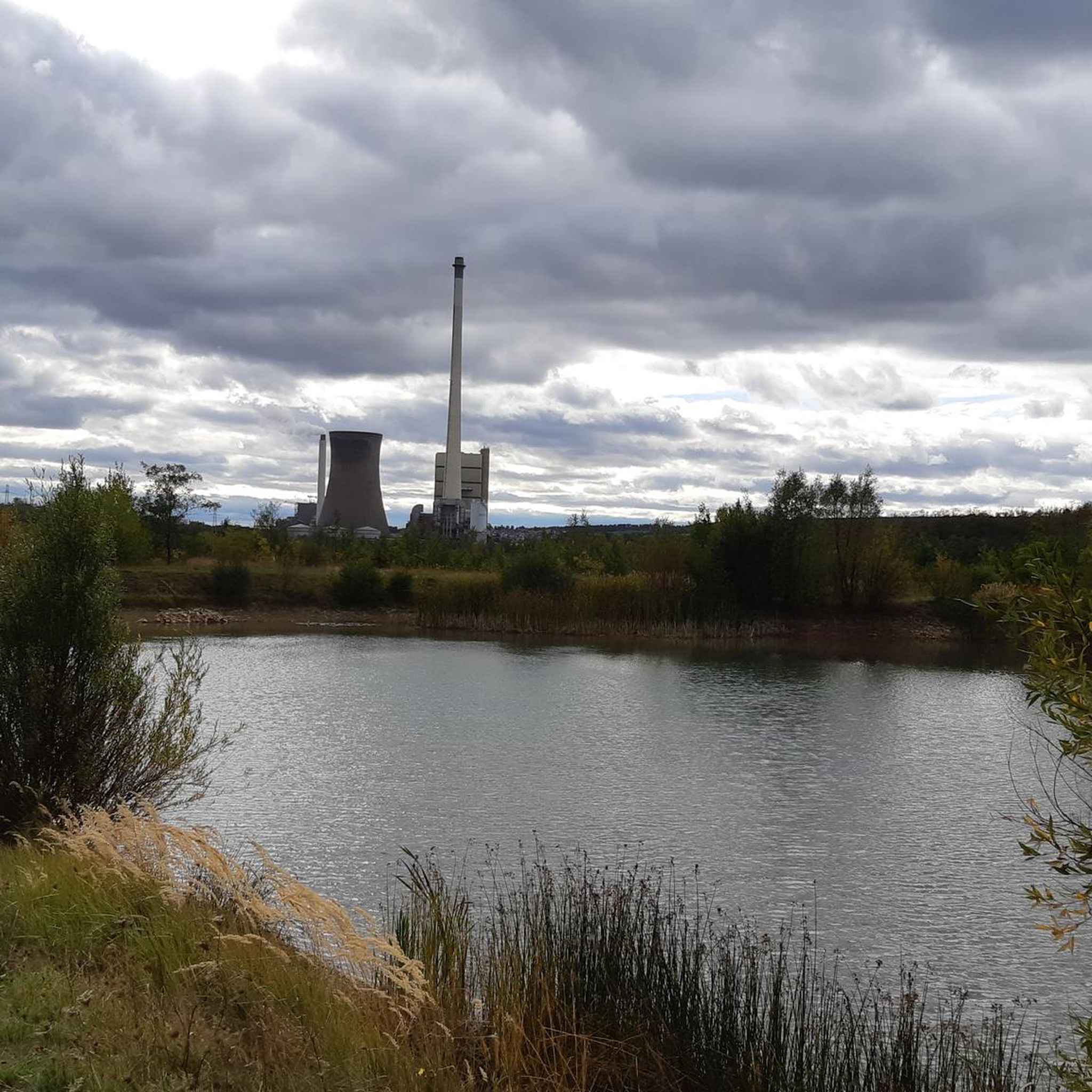
Tips from the Community

Blackboard included. By reading
0
0

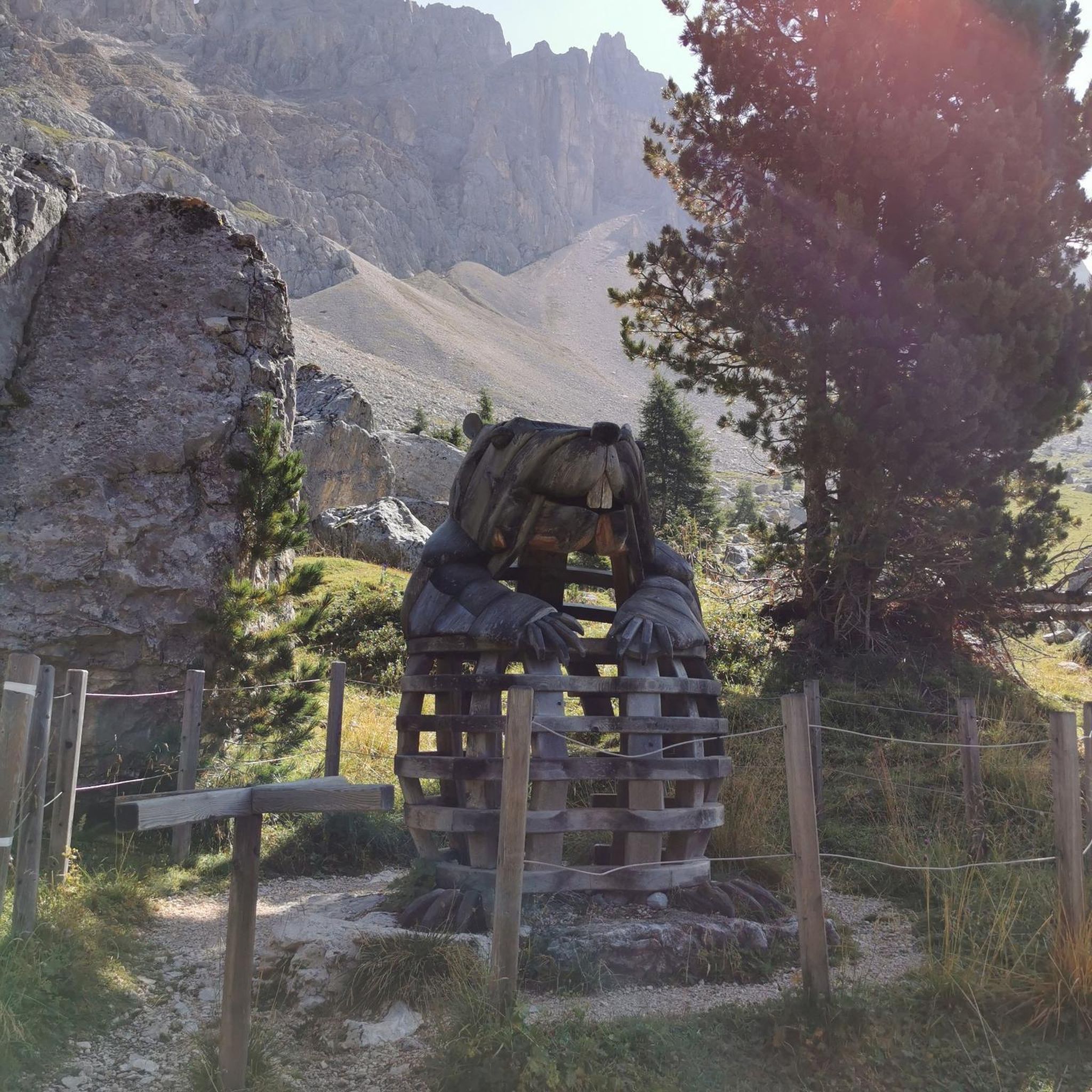
Great installation. It's worth stopping here for a photo.
0
0
A nice little highlight.
0
0

Good information board about the Prinz Wilhelm mine.
0
0
Nice bench at the intersection.
0
0
The goal in sight
0
0

Bench for a break and a view for trainspotters
2
0
Frequently Asked Questions
How many hiking trails are available around Wolsdorf?
Wolsdorf offers a wide selection of hiking opportunities, with nearly 30 routes available. These trails cater to various preferences, ranging from easy strolls to more moderate excursions through the region's diverse landscapes.
What kind of terrain can I expect on Wolsdorf's hiking trails?
The terrain around Wolsdorf is characterized by a pleasant mix of forests, gentle hills, and picturesque brook valleys, such as the Lutter valley. Elevation changes are generally mild, making many routes accessible for casual walkers and those seeking a relaxed outdoor experience.
Are there any easy hiking routes suitable for beginners or families?
Yes, Wolsdorf is very accommodating for easy hikes. Out of the nearly 30 available routes, 22 are classified as easy. An excellent option is the Elz loop from Frellstedt, a gentle 3.6-mile (5.8 km) path that takes about 1 hour 30 minutes to complete.
What natural features or landmarks can I see while hiking in Wolsdorf?
Hikers in Wolsdorf can explore several notable natural features and historical landmarks. A significant natural highlight is the Abbot Fabricius Spring (Lutterspring), the source of the Lutter river, set within a picturesque brook valley. You can also visit the historical Königslutter Imperial Cathedral and the Hagen Monument at the Tetzelstein, both of which can be incorporated into hiking routes.
Are there circular hiking routes in Wolsdorf?
Yes, many of the trails around Wolsdorf are circular, offering convenient starting and ending points. For example, the Wolsdorf Level Crossing loop from Wolsdorf is an easy 3.2-mile (5.2 km) circular path that provides lovely views of the local landscape.
What do other hikers say about the trails in Wolsdorf?
The hiking trails in Wolsdorf are highly regarded by the komoot community, boasting an average rating of 4.7 out of 5 stars from over 100 reviews. Hikers frequently praise the region's varied terrain, well-maintained paths, and the scenic beauty of areas like the Lutter valley.
Are there any moderate hikes for more experienced walkers?
While Wolsdorf is known for its easy trails, there are also moderate options for those looking for a bit more challenge. The Hiking loop from Elz is a 6.3-mile (10.1 km) trail that leads through varied terrain and typically takes about 2 hours 40 minutes to complete.
Can I find places to eat or drink near the hiking trails?
Yes, the region offers options for refreshments. The Tetzelstein Historic Forest Inn is a notable highlight that can be part of a hiking route, providing a place to stop and enjoy a meal or drink.
Is Wolsdorf a good destination for hiking with dogs?
Wolsdorf's natural landscapes, with its forests and varied terrain, generally offer a pleasant environment for hiking with dogs. Many trails are well-suited for walks with canine companions, but always ensure your dog is on a leash where required and respect local wildlife.
What is the best time of year to go hiking in Wolsdorf?
Wolsdorf offers enjoyable hiking experiences throughout much of the year. Spring brings blooming nature, while autumn showcases vibrant foliage. The gentle terrain makes it suitable for pleasant walks even in milder winter conditions, though checking local weather forecasts is always advisable.
Are there any longer hiking routes in the Wolsdorf area?
For those seeking longer excursions, routes like the View of Helmstedt loop from Frellstedt offer a more extended experience. This moderate trail covers approximately 6.3 miles (10.2 km) and typically takes around 2 hours 40 minutes to complete, providing ample time to explore the landscape.
Most popular routes around Wolsdorf
Most popular attractions around Wolsdorf

Get inspired with the komoot mobile app


Explore more
Browse the best Hikes in other regions.
