The best road cycling routes around Wolfersdorf
4.6
(581)
8,884
riders
24
rides
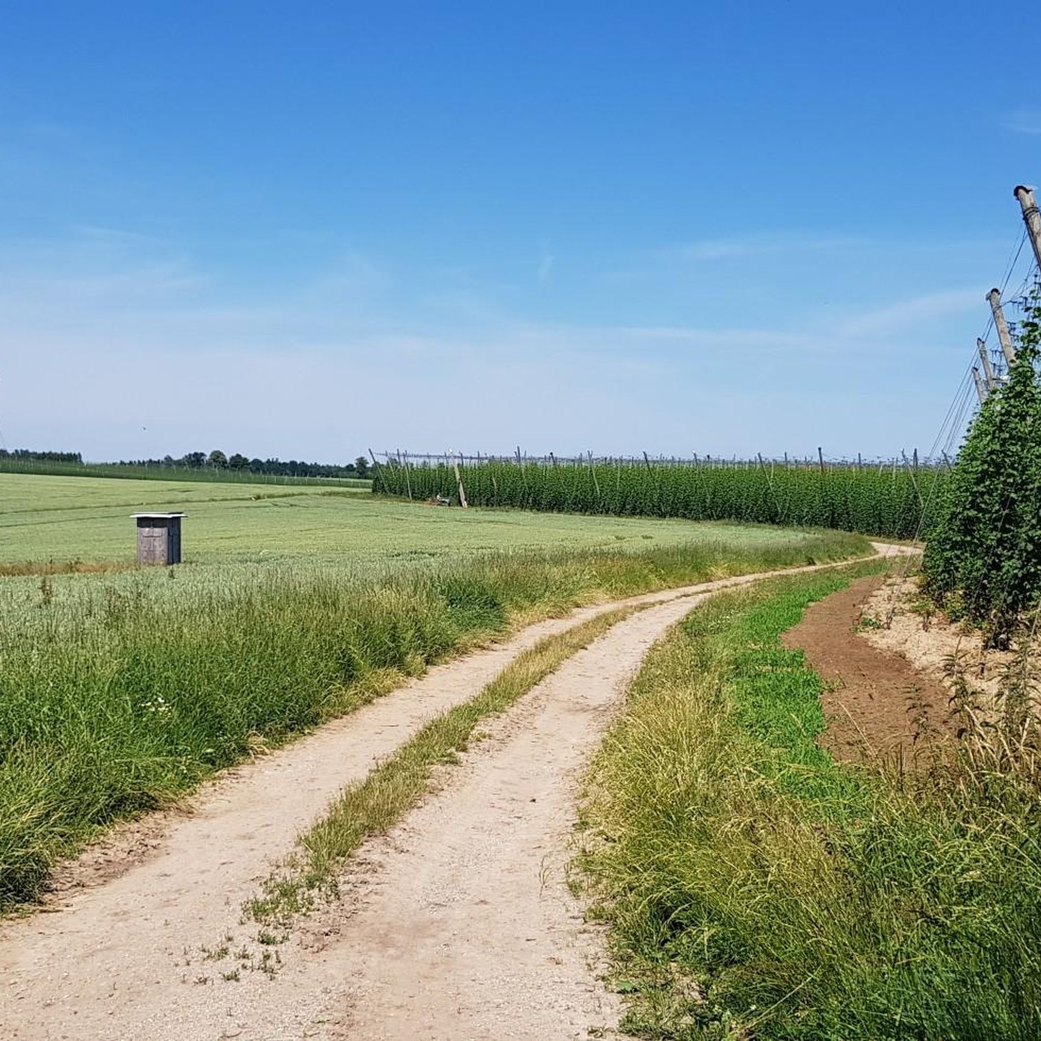
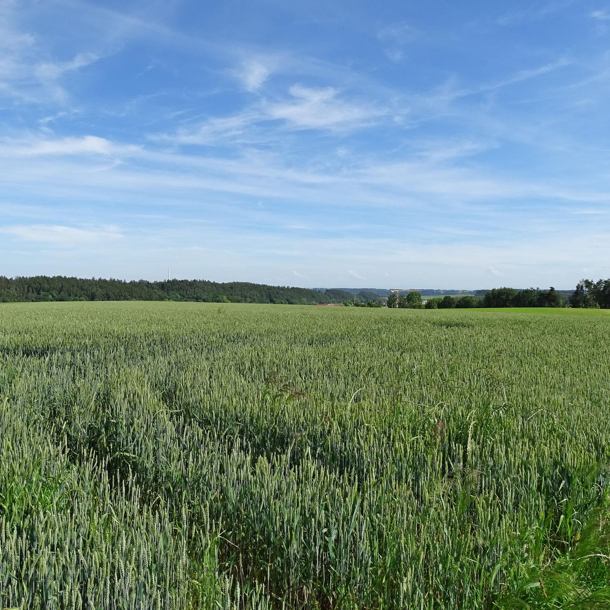
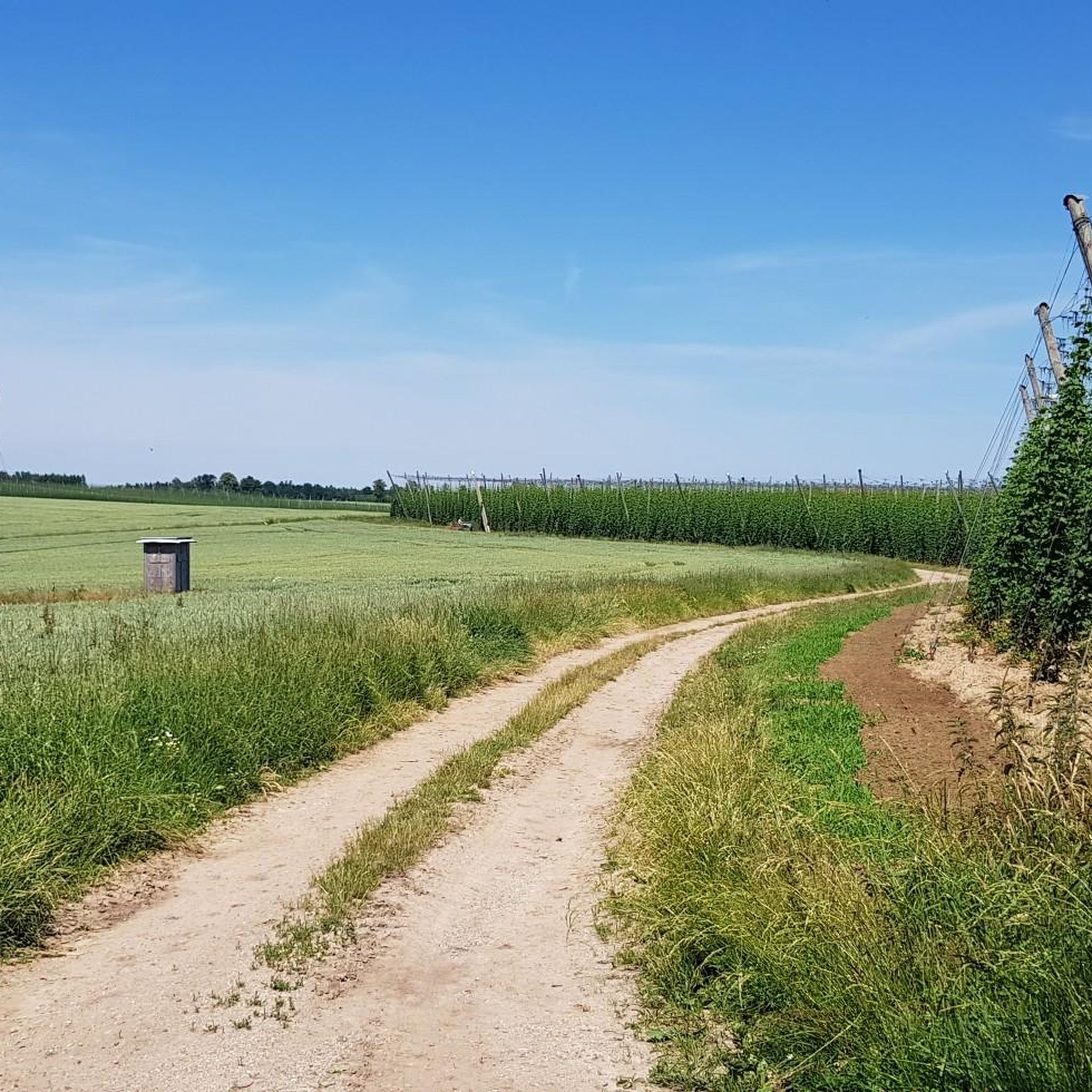
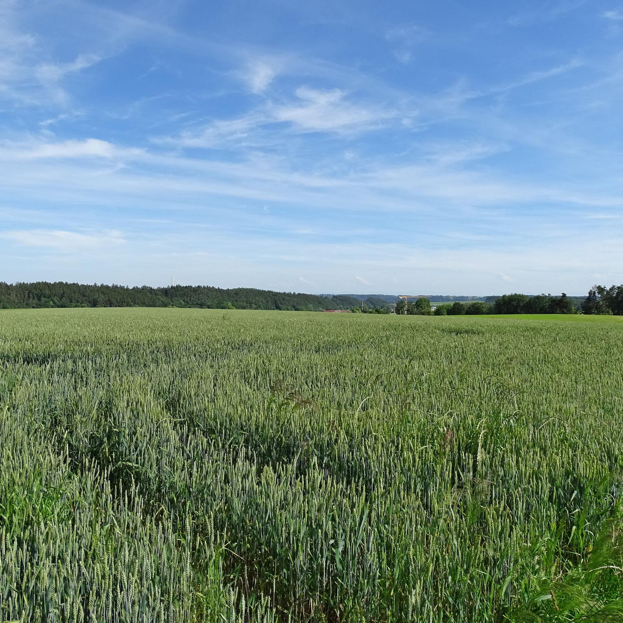
Road cycling routes around Wolfersdorf traverse Upper Bavaria's diverse landscapes, characterized by extensive hop gardens, open fields, and tranquil forest edges. The region offers a variety of well-paved road cycling routes with varying elevation gains. These routes provide a mix of scenery, from agricultural areas to natural woodlands.
Best road cycling routes around Wolfersdorf
- The most popular road cycling route is Roadbike loop from Zolling (VGem), a 23.5 miles (37.9 km) moderate trail that takes 1 hour 55 minutes…
Last updated: July 11, 2026
20
riders
30.1km
01:32
340m
340m
Moderate road ride. Good fitness required. Mostly well-paved surfaces and easy to ride.
18
riders
28.1km
01:17
210m
210m
Moderate road ride. Great for any fitness level. Some segments of this route may be unpaved and difficult to ride.

Sign up for free
5.0
(1)
15
riders
64.7km
02:43
440m
440m
Moderate road ride. Good fitness required. Mostly well-paved surfaces and easy to ride.
6
riders
Moderate road ride. Good fitness required. Mostly well-paved surfaces and easy to ride.
5.0
(1)
11
riders
34.4km
01:30
280m
280m
Easy road ride. Great for any fitness level. Mostly well-paved surfaces and easy to ride.
Get access to more routes and recommendations from other explorers.
Sign up for free
Already have an account?
Our route recommendations are based on thousands of hikes, rides, and runs completed by other people on komoot.
Start today with a free account
Your next adventure awaits.
Login or Signup

Tips from the Community

Eye-catcher: Carved figures of everyday life
0
0

The Korbinian Bridge in Freising is an arched bridge over the Isar River. The bridge was named after Saint Korbinian, considered the first bishop of Freising. To distinguish it from the Luitpold Bridge downstream, it is also called the Old Isar Bridge.
0
0

Very quiet route, completely free of cars! Rolls gently southward
0
0

Great wooden figures
0
0
Beautifully carved figures
0
0

This is a great place to take a break! Every time we pass by, people stop...
0
0

At the beginning there is a long but gentle climb. This is followed by a beautiful long descent past hop fields. It is simply a pleasure.
0
0

Stay a moment despite the main road right next door
1
0
Frequently Asked Questions
How many road cycling routes are available around Wolfersdorf?
There are over 20 road cycling routes around Wolfersdorf, offering a diverse range of experiences through Upper Bavaria's landscapes. These include routes suitable for various fitness levels, from easy to moderate.
What kind of terrain can I expect on road cycling routes in Wolfersdorf?
The road cycling routes in Wolfersdorf traverse diverse terrain, characterized by extensive hop gardens, open fields, and tranquil forest edges. You'll find a pleasant mix of agricultural areas and natural woodlands, with mostly well-paved surfaces ensuring a smooth ride. The region offers varying elevation gains, from gentle climbs to more challenging ascents.
What is the best time of year for road cycling in Wolfersdorf?
The best time for road cycling in Wolfersdorf is generally from spring through autumn. During these seasons, the weather is most favorable, and the hop fields, a distinctive feature of the region, are in full bloom or harvest, offering particularly scenic rides. The well-paved routes are enjoyable in mild conditions.
Are there routes suitable for beginners or less experienced road cyclists?
Yes, Wolfersdorf offers several routes suitable for beginners or those seeking an easier ride. There are 10 easy routes available, which typically feature less elevation gain and shorter distances. An example is the Hop Fields in Upper Bavaria loop from Wolfersdorf, which is an easy 21.4 miles (34.5 km) route.
What are the more challenging road cycling options around Wolfersdorf?
For more experienced road cyclists, there are 14 moderate routes available around Wolfersdorf. These routes often feature greater distances and more significant elevation gains. For instance, the Hop Fields in Upper Bavaria – Busch Farm, Hüll loop from Wolfersdorf is a moderate 40.3 miles (64.9 km) trail with over 1,400 feet of elevation gain, offering a good workout through the distinctive hop fields.
Are there any circular road cycling routes in the area?
Yes, many of the road cycling routes around Wolfersdorf are designed as loops, allowing you to start and end at the same point. Examples include the Roadbike loop from Zolling (VGem), a 23.5 miles (37.9 km) moderate circular route, and the Route from Zolling to Thalham loop from Heigenhausen, a moderate 17.6 miles (28.3 km) loop.
What natural features or landmarks can I see while road cycling near Wolfersdorf?
While road cycling near Wolfersdorf, you'll primarily encounter the region's distinctive hop fields, especially around areas like Hüll. The routes also offer views of open agricultural fields and pleasant forest edges. For specific natural landmarks, you might pass by the Highest Point of the Hallertau or the Weihenstephan Court Garden, depending on your chosen route.
Is there parking available for cyclists in Wolfersdorf?
While specific parking areas for cyclists are not detailed, Wolfersdorf, being a rural community, typically offers public parking options within the village or at trailheads. It's advisable to check local signage upon arrival for designated parking spots that accommodate cyclists.
Can I reach Wolfersdorf by public transport with my bike?
Reaching Wolfersdorf by public transport with a bike is generally possible, though it may require a combination of regional trains and buses. Policies for bike transport vary by operator and time of day, so it's recommended to check the specific public transport provider's website for their current regulations and schedules before planning your trip.
Are there places to stop for refreshments along the routes?
As you cycle through the Upper Bavarian countryside around Wolfersdorf, you'll find various villages and hamlets. Many of these have local inns, cafes, or bakeries where you can stop for refreshments. Larger towns nearby, such as Freising or Mainburg, offer more extensive options for food and drink.
What do other road cyclists say about the routes in Wolfersdorf?
The road cycling routes around Wolfersdorf are highly rated by the komoot community, with an average score of 4.6 stars from over 600 reviews. Cyclists often praise the well-paved surfaces, the scenic beauty of the hop fields, and the varied terrain that caters to different fitness levels. Many appreciate the tranquil atmosphere away from heavy traffic.
Are there any routes that pass through the Wolnzach Market Square?
Yes, there is a route that includes the Wolnzach Market Square. The Steep Forest Pathway – Wolnzach Market Square loop from Heigenhausen is a moderate 36.2 miles (58.3 km) route that offers a chance to explore the market square as part of your ride.
Most popular routes around Wolfersdorf
Most popular attractions around Wolfersdorf

Get inspired with the komoot mobile app


Explore more
Browse the best Road cycling routes in other regions.
