The best road cycling routes around Navis
4.5
(357)
11,250
riders
36
rides
Road cycling routes around Navis traverse a landscape characterized by alpine valleys and mountain passes. The region features significant elevation changes, with routes climbing through scenic areas offering views of the Wipptal and Inntal valleys. Cyclists can expect varied terrain, from valley floors to challenging ascents towards high passes. This area provides diverse road biking experiences amidst the natural features of the Austrian Alps.
Best road cycling routes around Navis
- The most popular road cycling route is View of Wipptal…
Last updated: October 9, 2026
4.9
(12)
907
riders
60.5km
03:10
1,110m
1,110m
Hard road ride. Very good fitness required. Mostly well-paved surfaces and easy to ride.
4.9
(12)
301
riders
55.0km
02:41
800m
800m
Moderate road ride. Good fitness required. Mostly well-paved surfaces and easy to ride.

4.6
(5)
159
riders
42.3km
01:58
460m
460m
Moderate road ride. Good fitness required. Mostly well-paved surfaces and easy to ride.
4.8
(4)
129
riders
32.6km
01:46
650m
650m
Moderate road ride. Good fitness required. Mostly well-paved surfaces and easy to ride.
59
riders
101km
05:04
1,570m
1,570m
Hard road ride. Very good fitness required. Mostly well-paved surfaces and easy to ride.
Get access to more routes and recommendations from other explorers.
Already have an account?
Our route recommendations are based on thousands of hikes, rides, and runs completed by other people on komoot.
Start today with a free account
Your next adventure awaits.
Popular around Navis
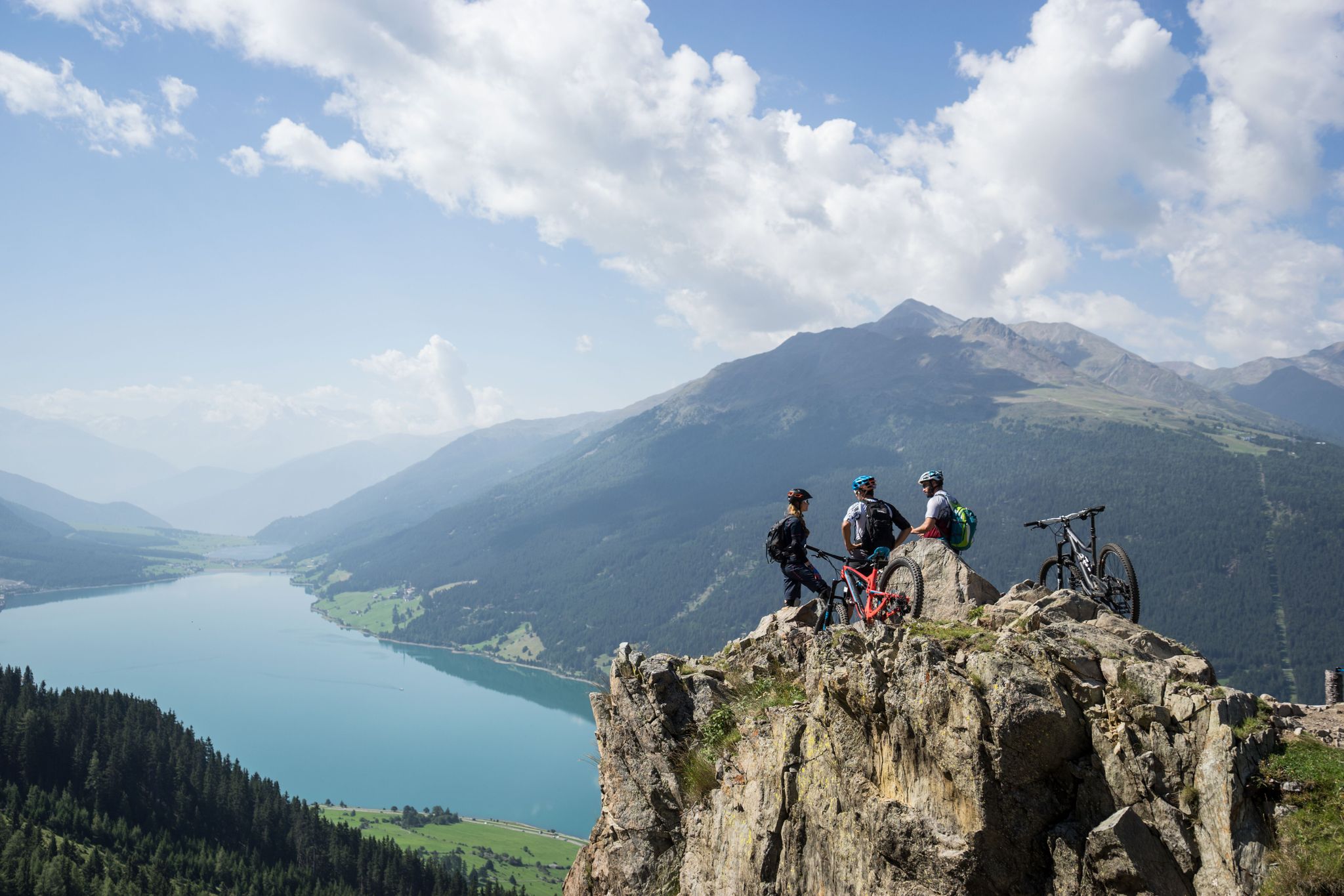
High into the Tyrolean mountain world – mountain biking in Tyrol

Pedals and Paths – Beautiful E-Bike & Hike Tours in the Wipptal
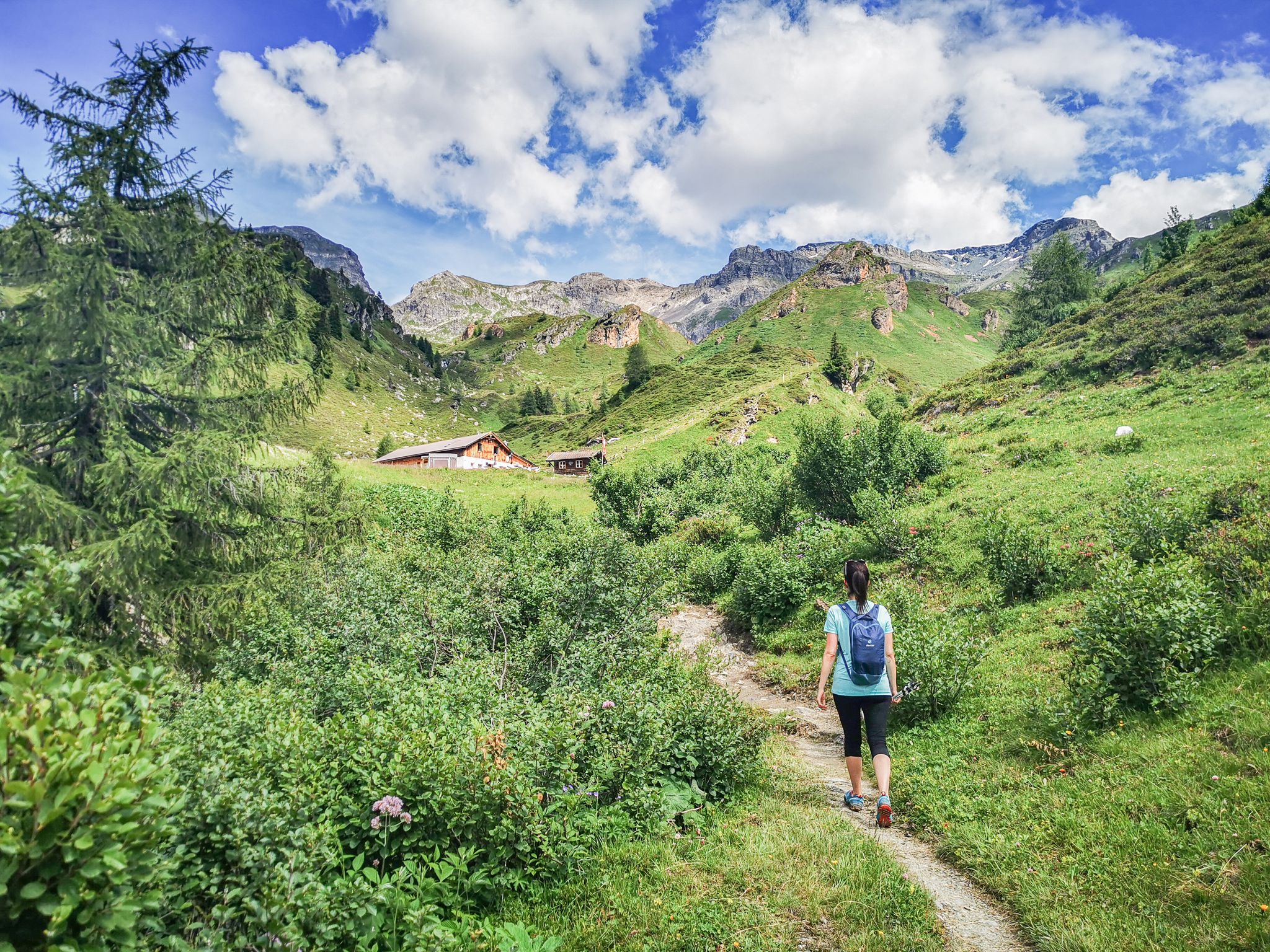
5 culinary alpine and hut hikes in Austria's Wipptal
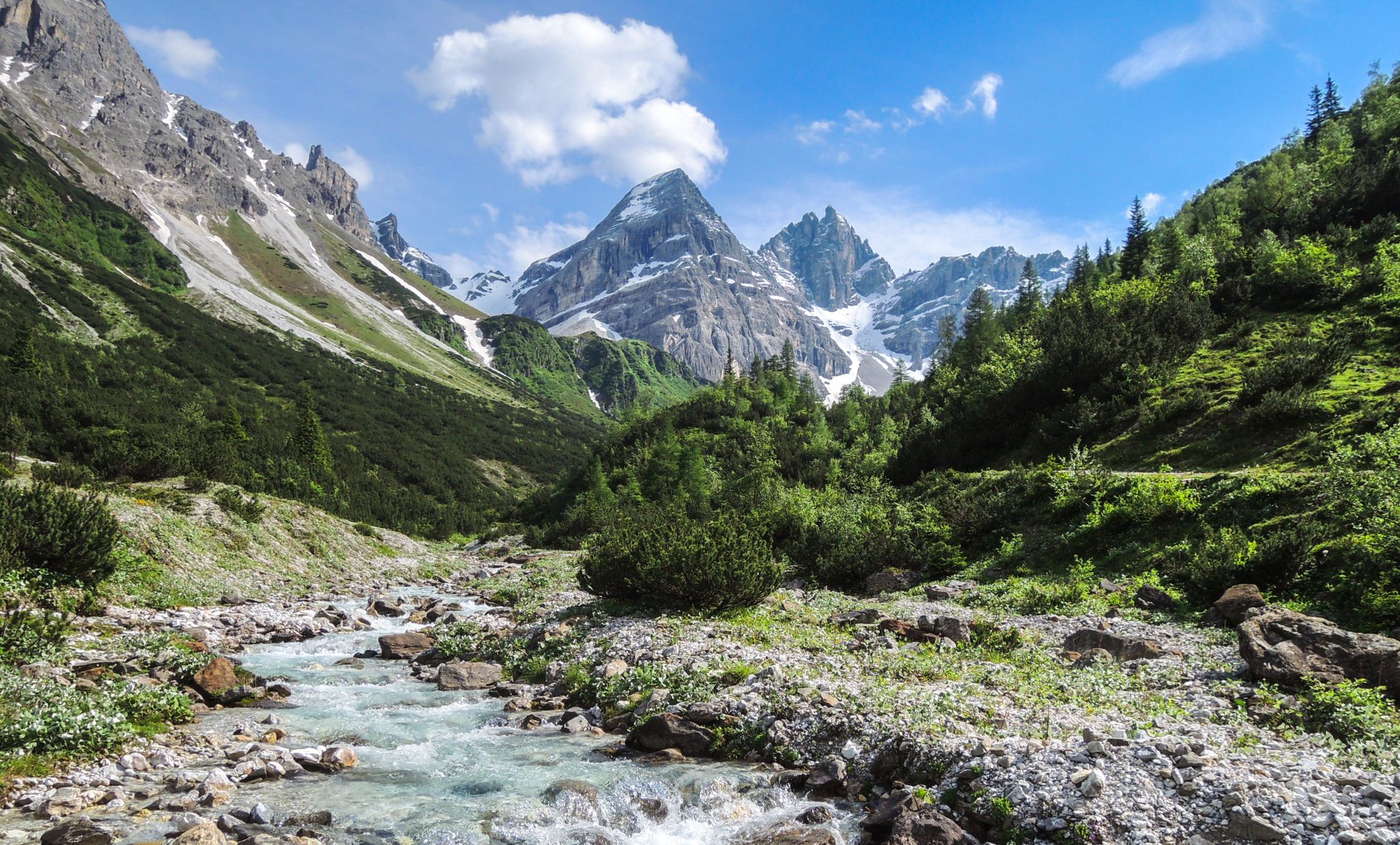
A journey of discovery in Tyrol – hidden places in the Wipptal Valley
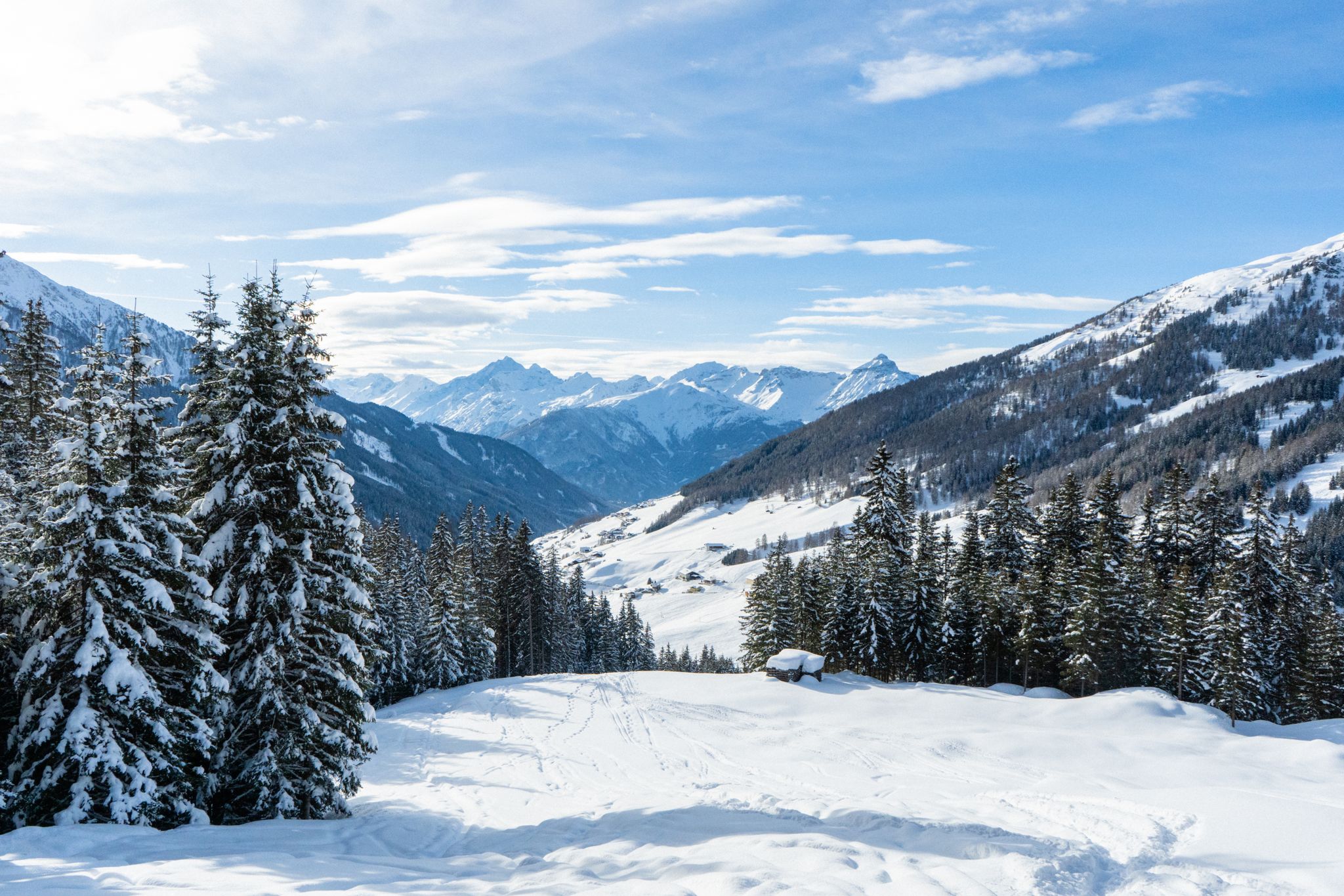
Your winter in Austria’s Wipptal Valley: 10 tips for adventuring in the snow
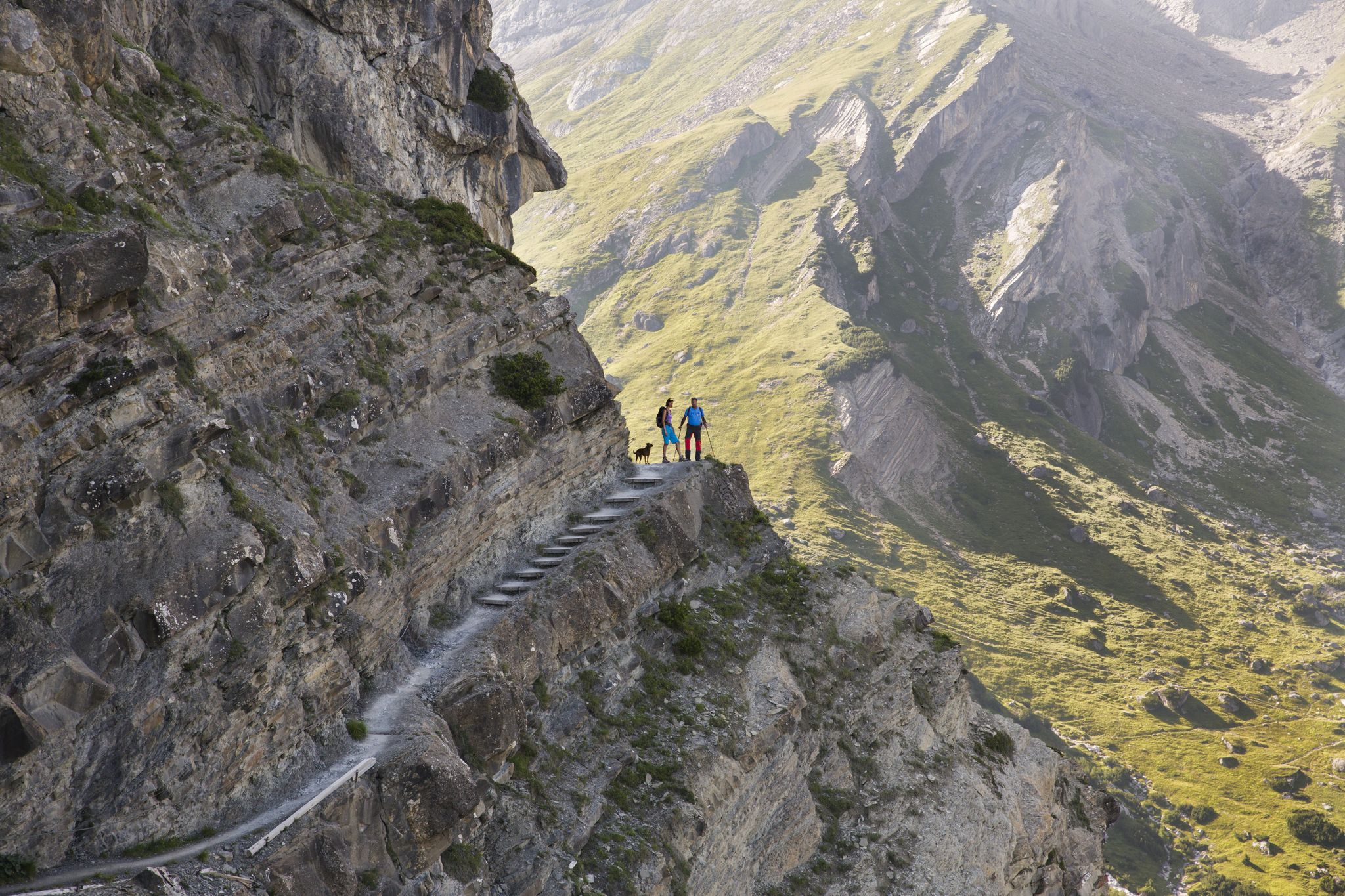
Big and small adventures in the mountains of Tyrol

Fünf kulinarische Alm- und Hüttenwanderungen im Wipptal
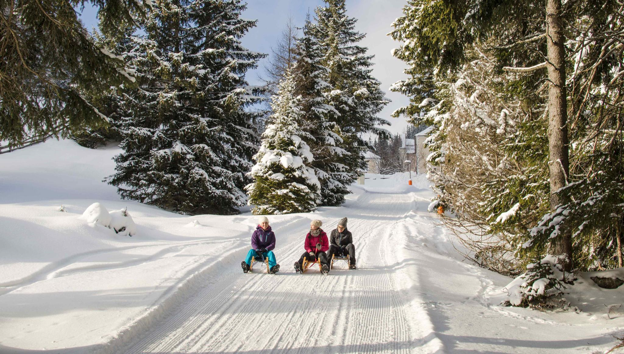
Rodelspaß und urige Hütten – Winterzauber Wipptal
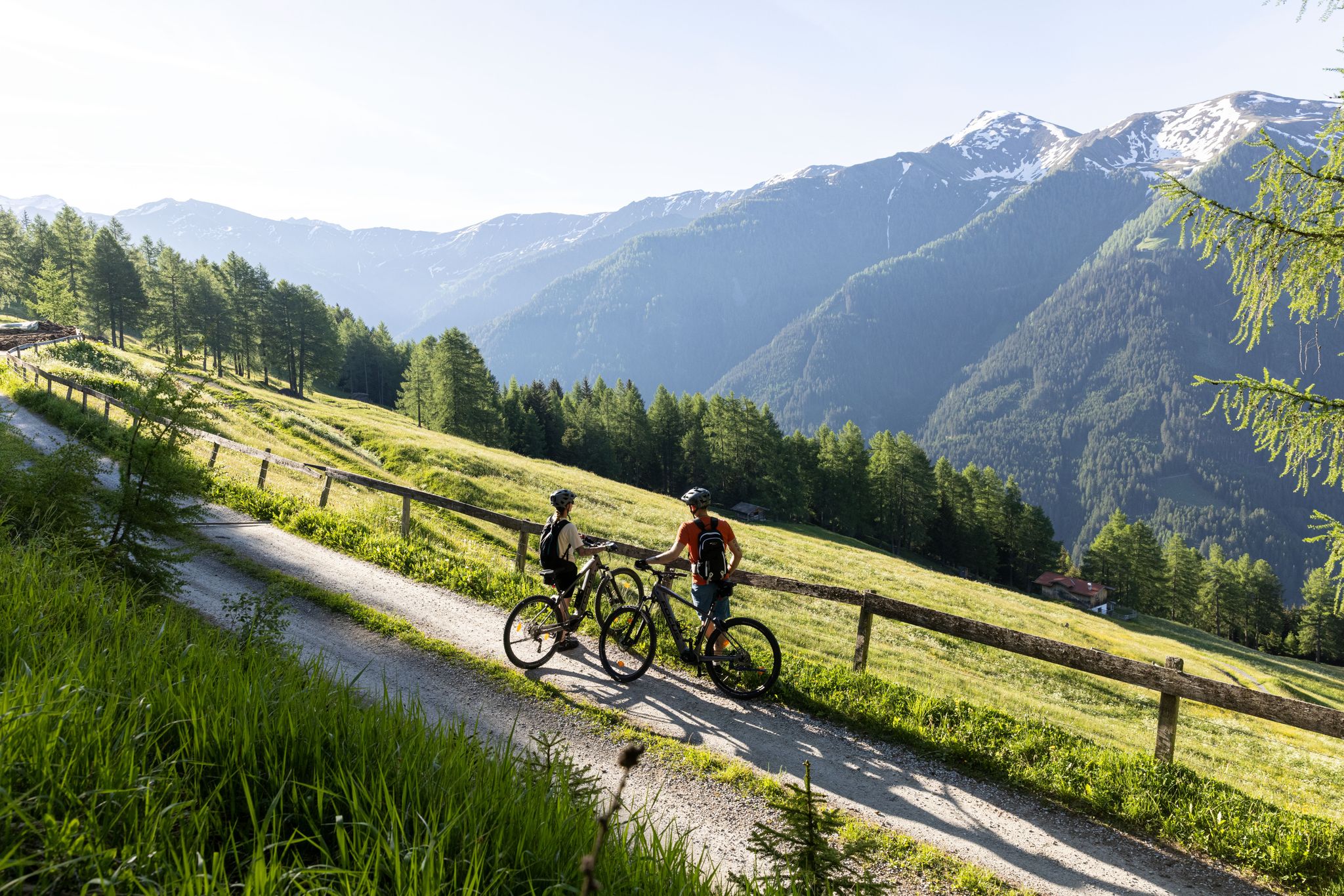
Genuss auf zwei Rädern – (kulinarisches) E-Biken in Tirol
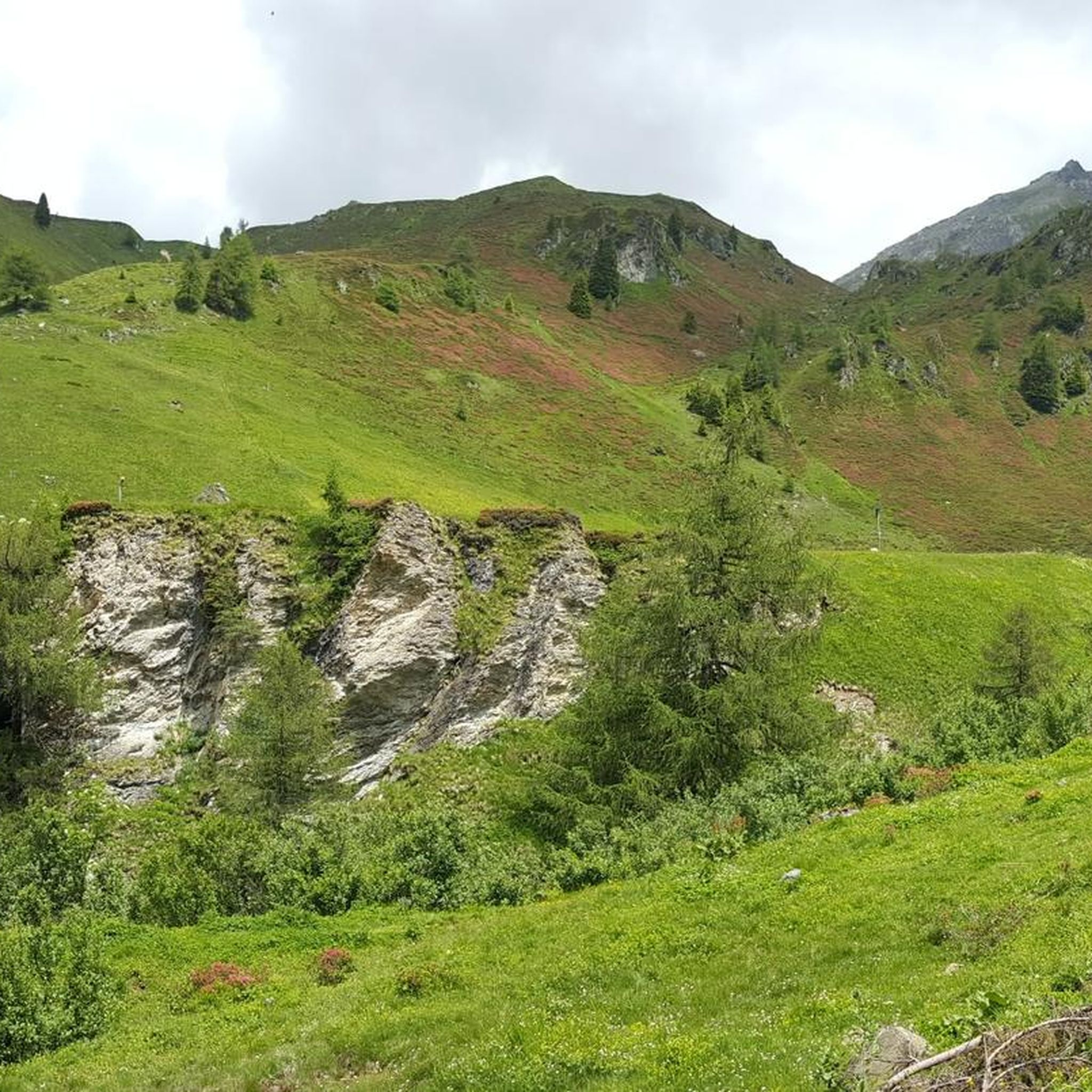
Cycling around Navis
Other adventures around Navis


Tips from the Community

Someone got the title wrong in the valley. Otherwise, an impressive sight.
1
0
The bridge over the waterfall is currently damaged.
1
0

Top descent from the Brenner down to Sterzing
0
0

During the Ötztal Cycle Marathon, the roads are closed to public traffic. This made it a very pleasant ride, and we were able to enjoy the beautiful panoramic views.
0
0

Available on Zwift - Lutscher route
0
0

Beautiful cycle path with several tunnels
0
0

another interesting section
0
0

Fantastic views of the waterfall and the bridge above it.
1
0
Frequently Asked Questions
How many road cycling routes are available around Navis?
There are over 35 road cycling routes around Navis, offering diverse experiences from valley rides to challenging mountain pass ascents.
What kind of terrain can I expect when road cycling around Navis?
Road cycling around Navis traverses a landscape characterized by alpine valleys and mountain passes. You can expect significant elevation changes, with routes climbing through scenic areas that offer expansive views of the Wipptal and Inntal valleys. The terrain varies from relatively flat valley floors to demanding ascents towards high passes.
Are there road cycling routes for all skill levels in Navis?
Yes, Navis offers routes for various skill levels. There are 5 easy routes for those seeking a more relaxed ride, 20 moderate routes, and 12 difficult routes for experienced cyclists looking for significant climbs and challenging terrain.
What are some notable natural features or landmarks I might encounter on road cycling routes in Navis?
Many routes offer views of the Wipptal and Inntal valleys. You might also pass by impressive waterfalls, such as the Schrauben Waterfall or the Schleier Waterfall. Some routes, like the Gschnitz Waterfall – Gschnitzbach Meadow Path loop from Matrei am Brenner, specifically lead past these natural attractions.
Are there any circular road cycling routes in Navis?
Yes, many road cycling routes around Navis are designed as loops. For instance, the View of Wipptal and Inntal – View of Innsbruck loop from Matrei am Brenner and the Gries am Brenner – Giovo Pass (Jaufen Pass) loop from Matrei am Brenner are popular circular options.
What do other road cyclists enjoy most about road cycling in Navis?
The road cycling routes in Navis are highly rated by the komoot community, with an average score of 4.4 stars from over 240 reviews. Cyclists often praise the diverse terrain, from scenic valley rides to challenging climbs over mountain passes, and the expansive views of the surrounding alpine landscape.
Are there any routes that offer particularly good viewpoints?
Many routes are designed to showcase the region's beauty. The View of Wipptal and Inntal – View of Innsbruck loop from Matrei am Brenner is specifically named for its expansive views of the valleys. Other routes climbing towards mountain passes also provide stunning panoramic vistas.
What is the best time of year for road biking in Navis?
While specific seasonal details are not provided, road cycling in alpine regions like Navis is generally best during the warmer months, from late spring to early autumn, when mountain passes are clear of snow and weather conditions are more stable. Always check local weather forecasts before heading out.
Are there challenging climbs for advanced road cyclists in Navis?
Absolutely. Navis is known for its significant elevation changes and mountain passes. Routes like the Gries am Brenner – Giovo Pass (Jaufen Pass) loop from Matrei am Brenner feature substantial elevation gain, making them ideal for advanced cyclists seeking a demanding challenge.
Can I find routes that pass by waterfalls in Navis?
Yes, some routes incorporate natural attractions like waterfalls. The Gschnitz Waterfall – Gschnitzbach Meadow Path loop from Matrei am Brenner is a moderate route that leads through valley scenery and directly past a waterfall, offering a scenic and refreshing stop.
What are the typical distances and elevation gains for road cycling routes in Navis?
Distances vary widely, from shorter rides around 26 miles (42 km) to longer, more challenging routes exceeding 60 miles (100 km). Elevation gains can range from around 1,500 feet (460 meters) for moderate routes to over 6,900 feet (2,100 meters) for difficult mountain pass loops.
Most popular attractions around Navis

Get inspired with the komoot mobile app


Explore more
Browse the best Road cycling routes in other regions.
