The best walks and hikes around Wittislingen
4.6
(1280)
5,656
hikers
21
hikes
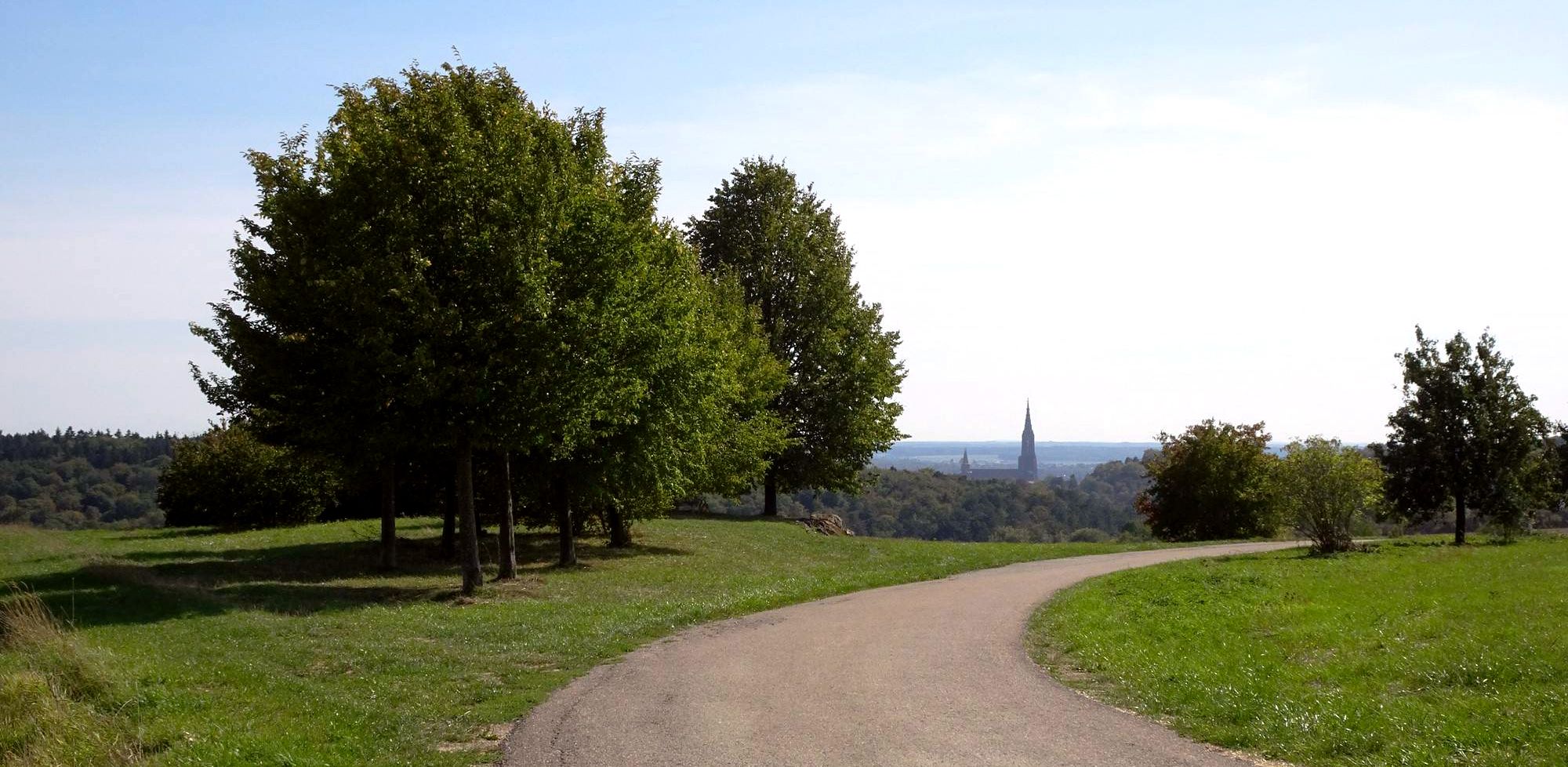
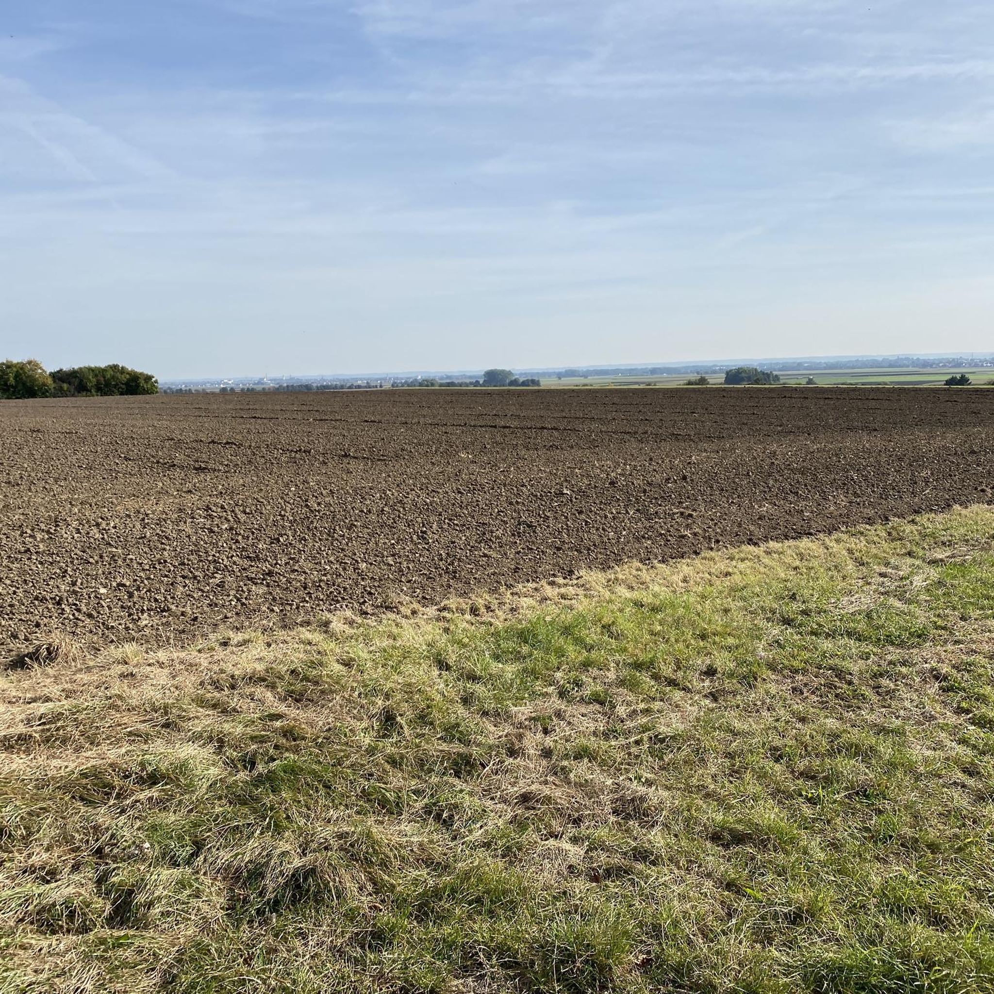
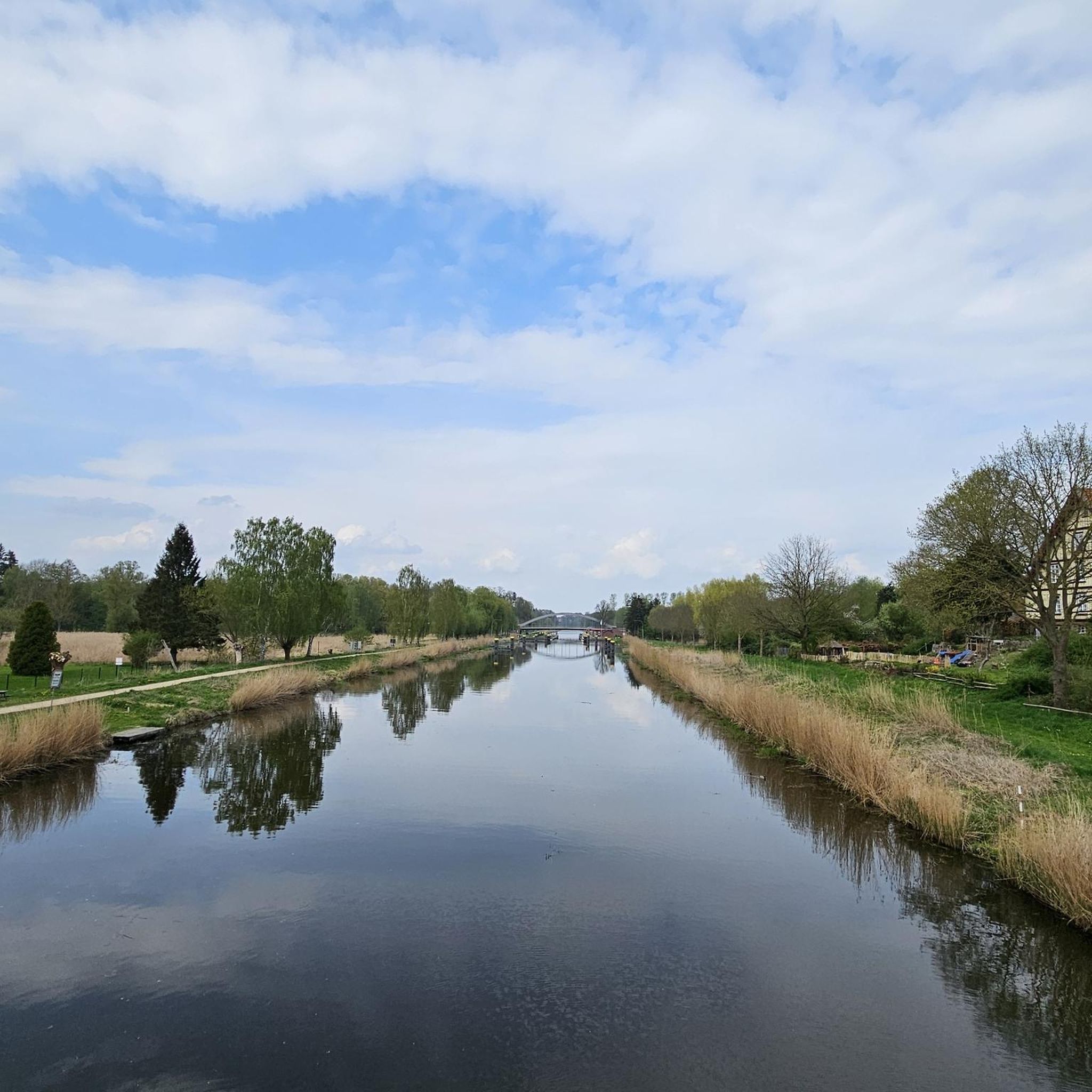
Hiking around Wittislingen offers diverse landscapes for outdoor enthusiasts. The region features rolling hills and green forests, shaped by the Brenz and Danube Rivers. Wittislingen is situated on the edge of the Augsburg-Westliche Wälder Nature Park, providing varied natural environments. This area is characterized by its riverine landscapes and elevated viewpoints offering regional panoramas.
Best hiking trails around Wittislingen
- The most popular hiking route is Hunter's Hut on Grünberg – Fitness Trail loop from Wittislingen, a 3.6 miles (5.7…
Last updated: July 1, 2026
4.6
(8)
66
hikers
3.72km
00:57
20m
20m
Easy hike. Great for any fitness level. Easily-accessible paths. Suitable for all skill levels.
4.9
(10)
23
hikers
5.74km
01:31
50m
50m
Easy hike. Great for any fitness level. Easily-accessible paths. Suitable for all skill levels.

Sign up for free
5.0
(6)
9
hikers
Moderate hike. Good fitness required. Easily-accessible paths. Suitable for all skill levels.
7
hikers
2.67km
00:42
20m
20m
Easy hike. Great for any fitness level. Easily-accessible paths. Suitable for all skill levels.
5.0
(1)
7
hikers
4.75km
01:13
20m
20m
Easy hike. Great for any fitness level. Easily-accessible paths. Suitable for all skill levels.
Get access to more routes and recommendations from other explorers.
Sign up for free
Already have an account?
Our route recommendations are based on thousands of hikes, rides, and runs completed by other people on komoot.
Start today with a free account
Your next adventure awaits.
Login or Signup
Other adventures around Wittislingen

Tips from the Community

New and beautifully designed pub facility right next to the cycle path and bridge
0
0

Due Tenzel is the last of what were once 11 mills in Wittislingen.
1
0
The Roter Brunneni is a swampy spring with reddish-brown shimmering water that results from iron solutions and karst clay. The fountain drains into the Danube via the Klosterbach. The karst spring is designated as a “valuable” geotope by the Bavarian State Office.
1
0
Maria Medlingen, founded by Count Hartmann von Dillingen as a Dominican monastery and later continued as a Franciscan monastery.
1
0

see also here: https://de.wikipedia.org/wiki/Kloster_M%C3%B6dingen
0
0

An hour of brisk running in a beautiful piece of forest, with gymnastics instructions on a section. Beautiful forest paths, also suitable for walking with children.
0
0

With a funny saying on the gable
0
0

Very nice monastery. Beautiful Advent market in winter.
2
0
Frequently Asked Questions
How many hiking trails are available around Wittislingen?
There are over 20 hiking routes in Wittislingen, offering a variety of experiences for different skill levels. You'll find 14 easy trails and 7 moderate options, with no difficult routes, making the area accessible for most hikers.
What kind of landscapes can I expect to see while hiking in Wittislingen?
Wittislingen offers diverse landscapes, characterized by rolling hills, green forests, and the scenic Brenz and Danube Rivers. The area is situated on the edge of the Augsburg-Westliche Wälder Nature Park, providing varied natural environments. From certain vantage points, you can even enjoy breathtaking views of the nearby Alps.
Are there any family-friendly hiking options in Wittislingen?
Yes, Wittislingen has several family-friendly trails. The 'Burgberg' lookout point is a popular choice, offering impressive panoramic views and being suitable for families due to its relative ease and shorter length. Many of the 14 easy routes available are also ideal for families.
What is the best time of year to go hiking in Wittislingen?
The best seasons for hiking in Wittislingen are typically spring and autumn. In spring, the region is known for its vibrant display of flowers, while autumn offers pleasant temperatures and beautiful foliage.
Are there any circular hiking routes in Wittislingen?
Yes, many of the trails in Wittislingen are circular. For example, the Hunter's Hut on Grünberg – Fitness Trail loop from Wittislingen is an easy 5.7 km loop through local woodlands. Another option is the moderate Fitness Trail – Hunter's Hut on Grünberg loop from Wittislingen, which takes you through forested areas.
What are some notable natural features or landmarks to look out for?
Hikers can enjoy the confluence of the Brenz and Danube rivers, a pleasant spot for rest. The 'Burgberg' lookout point offers panoramic views, and the idyllic 'Schellenberg' forest is known for its tranquility and diverse plant and animal species. The region is also part of the Augsburg-Westliche Wälder Nature Park.
Are there any longer-distance hiking opportunities near Wittislingen?
Yes, the premium trail 'DonAUwald' is a significant highlight for long-distance hikers. This trail stretches over 70 kilometers along the Danube valley, providing spectacular views. Various stages of this trail can be easily accessed and hiked from Wittislingen, offering an immersive experience of untouched nature.
What do other hikers say about the trails in Wittislingen?
The hiking routes in Wittislingen are highly rated by the komoot community, with an average score of 4.6 stars from over 1,200 reviews. More than 5,700 hikers have used komoot to explore Wittislingen's varied terrain, often praising the well-marked paths and diverse scenery.
Are there any huts or shelters along the hiking trails in Wittislingen?
Yes, there are several huts and shelters in the vicinity of Wittislingen that can be explored. Notable options include the Goldberg Alm, the Pfannentalhaus, and the Forest Shelter in Geopark Schwäbische Alb. These can be good spots for a break during your hike.
Can I find trails that follow rivers or water features?
Absolutely. The region is shaped by the Brenz and Danube Rivers, and many trails incorporate these water features. For instance, the moderate Kneipp Facility in the River – Mödingen Monastery loop from Wittislingen follows the river and passes by cultural landmarks, offering varied scenery.
Are there any easy, shorter routes for a quick walk?
Yes, if you're looking for an easy and shorter walk, the Grünberg – Fitness Trail loop from Wittislingen is a great option. It's an easy 2.7 km route that can be completed relatively quickly, perfect for a refreshing stroll.
Most popular routes around Wittislingen
Most popular attractions around Wittislingen

Get inspired with the komoot mobile app


Explore more
Browse the best Hikes in other regions.
