The best walks and hikes around Burwardsley
4.6
(545)
3,574
hikers
29
hikes
Hikes around Burwardsley explore the rural landscape of Cheshire West and Chester. The region is characterized by wooded sandstone ridges, such as Bulkeley Hill and Raw Head, which rise from the surrounding Cheshire Plain. The network of paths includes sections of the long-distance Sandstone Trail as well as local circular walks through forests and across farmland.
Best hiking trails around Burwardsley
- The most popular hiking route is The Pheasant Inn – View from Rawhead loop from Burwardsley, a 7.1 mile (11.5 km) trail that takes about 3 hours 15 minutes to complete. This moderate route leads to the Rawhead viewpoint, which offers panoramic views across the area.
- Another top favourite among local hiking enthusiasts is Beeston Castle Gates – View of Beeston Castle loop from Burwardsley, a moderate 4.9 mile (7.8 km) path. The trail combines woodland and field paths, providing views of the historic Beeston Castle.
- Local hiking enthusiasts also love the Hiking loop from Burwardsley, a 1.9 mile (3.0 km) trail leading through the local landscape, often completed in about 55 minutes.
- Hiking around Burwardsley is defined by wooded sandstone ridges, rolling hills, and sections of the Sandstone Trail. The trail network provides a variety of routes suitable for different fitness levels.
- The routes in Burwardsley are highly rated by the komoot community with an average score of 4.6 stars from over 200 reviews. More than 1,900 hikers have used komoot to explore Burwardsley's varied terrain.
Last updated: November 10, 2026
4.7
(67)
319
hikers
12.2km
03:29
270m
270m
Moderate hike. Good fitness required. Easily walkable paths.
4.6
(26)
144
hikers
7.63km
02:08
150m
150m
Moderate hike. Good fitness required. Easily walkable paths.

5.0
(14)
107
hikers
15.5km
04:21
320m
320m
Moderate hike. Good fitness required. Easily walkable paths.
4.9
(9)
84
hikers
3.02km
00:54
90m
90m
Easy hike. Easily walkable paths.
4.6
(13)
69
hikers
12.1km
03:15
160m
160m
Moderate hike. Good fitness required. Easily walkable paths.
Get access to more routes and recommendations from other explorers.
Already have an account?
Our route recommendations are based on thousands of hikes, rides, and runs completed by other people on komoot.
Start today with a free account
Your next adventure awaits.
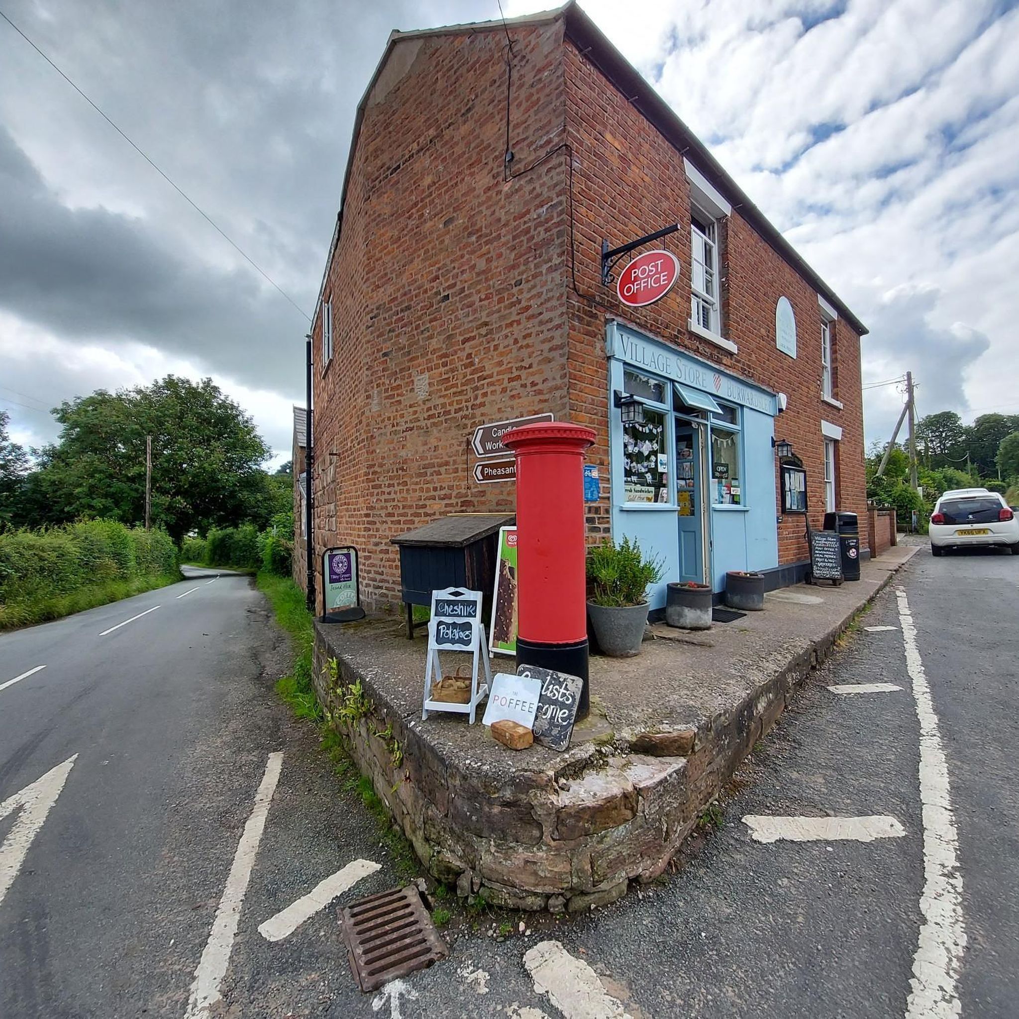
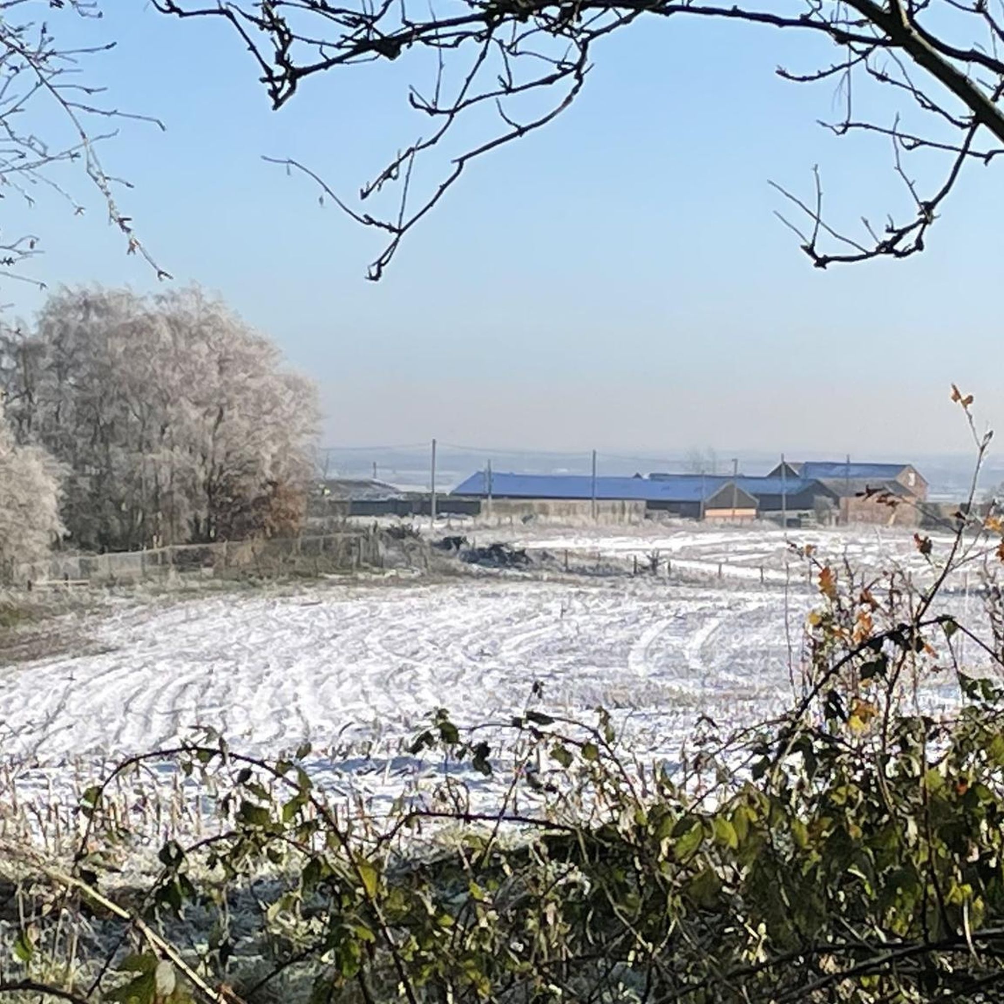
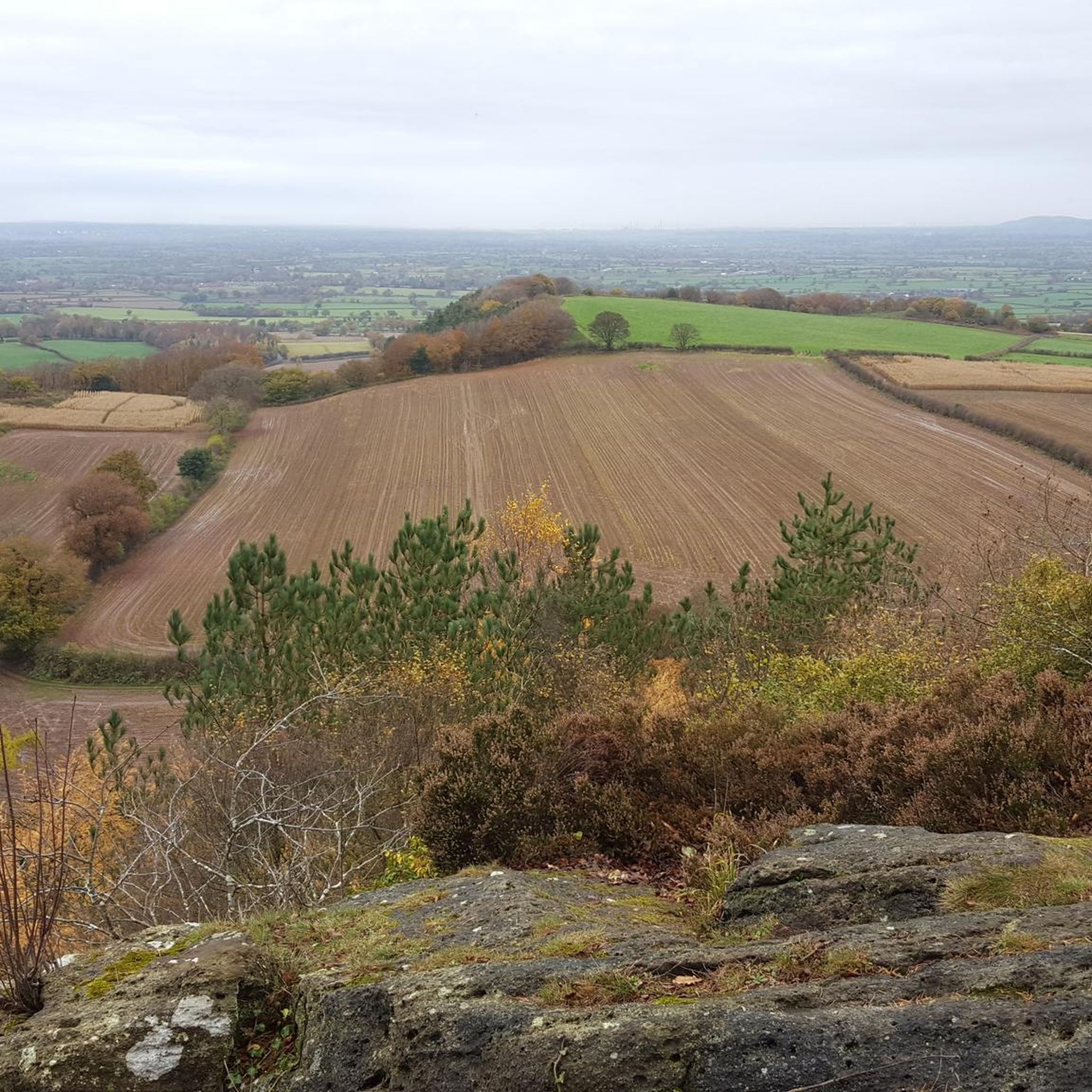
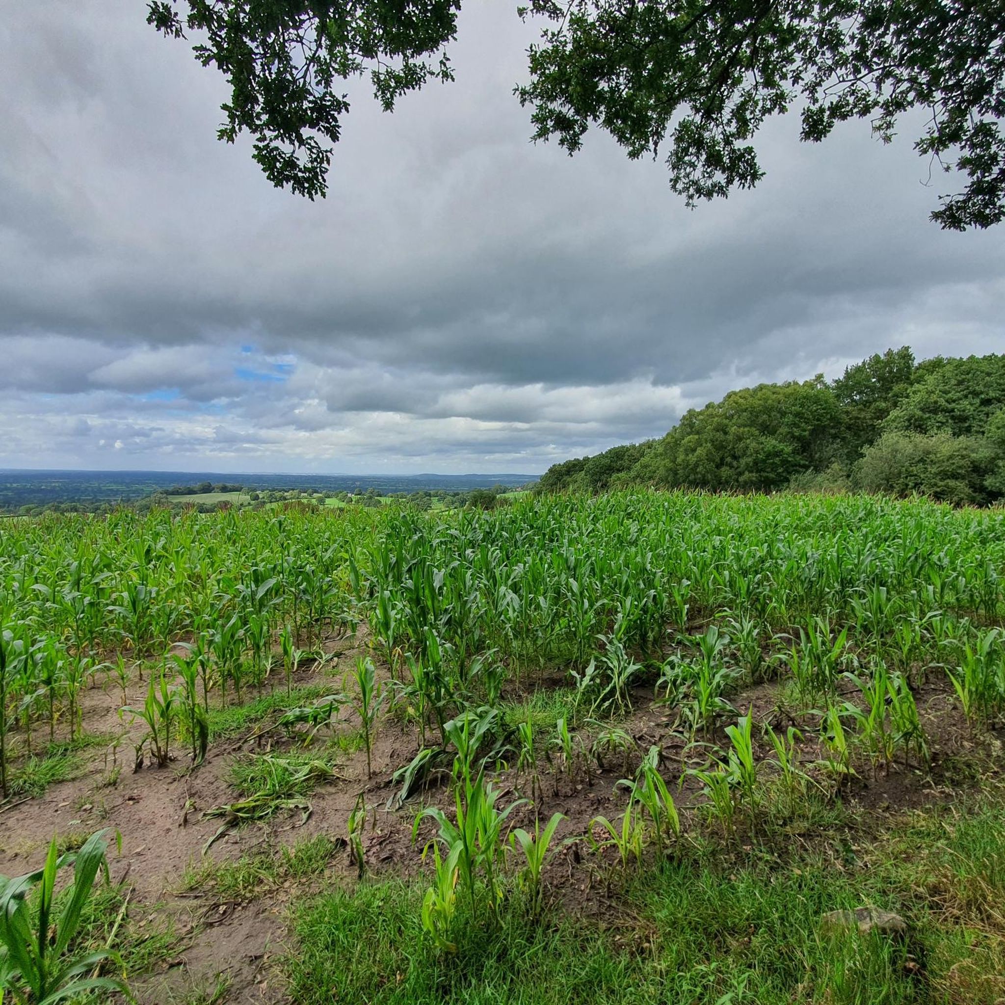
Tips from the Community

An old estate track / packhorse route built between quarry sites with sandstone setts and cobbles so it wouldn't wash away on the steep slope.
0
0
Beeston was listed in the Domesday Book in 1086 as a parish within the ancient hundred of Rushton. In the 13th century the hundreds were reorganised and Beeston became a township within Bunbury parish. The village is known for Beeston Castle on the crag above, built in 1228 by Ranulph de Blondeville, which later became a royal garrison and was dismantled in 1645 by order of Parliament. Below the castle there is a famous deep well said to go down 122 yards to Beeston Brook in the valley. The castle and much of the surrounding land were historically the property of Lord Tollemache, who was lord of the manor and principal landowner.
0
0
Peckforton Castle itself is not actually medieval. It was built between 1844 and 1850 as a Victorian country house in the style of a Norman castle, for John Tollemache, who was the largest landowner in Cheshire at the time and was described by William Gladstone as the greatest estate manager of his day. It was designed to look like a real medieval fortress, complete with a gatehouse, portcullis, dry moat, arrow slots and large towers. The gateway is a tall, imposing arch with twin towers and battlements, built of the same red sandstone as the rest of the castle. It sits on Stone House Lane in woodland at the north end of the Peckforton Hills, about a mile north-west of the village of Peckforton and less than a mile from Beeston Castle. It is Grade I listed. The castle has had a varied history, serving as a family home, a hostel for 200 physically disabled children evacuated from London during the Second World War, and now as a hotel, wedding venue and conference centre.
0
0
It is dedicated to St John the Evangelist, and it is often called St John the Divine. The church originates from the 17th century, although it has a buttress dated 1730. It was restored in 1795, and then restored again in 1871 by the Chester architect John Douglas, who added a bell turret with a pyramidal roof. Another restoration, with the addition of a chancel, was carried out around 1878.
0
0
It was built in 1839 as a chapel of ease to St Oswald's in Malpas, because the local population was growing quickly. The architect was Edmund Sharpe from Lancaster, who was well known for his Gothic Revival churches. The land was donated by Sir Philip Grey Egerton of Oulton, and the money was raised by public subscription. Around £2,000 was collected in total, but only £700 of that was spent on building the church itself. Another £300 went towards a house for the minister, and the rest was invested to provide an income for him. The church also received a grant of £120 from the Incorporated Church Building Society. It was consecrated on the 7th of January 1840 by John Sumner, the Bishop of Chester, and it became a separate parish church in its own right in 1869. It is Grade II listed and is still an active parish church. In the churchyard, overlooking the crossroads, there is a war memorial.
0
0
It is the last visible bit of Cheshire's forgotten copper rush. Copper mining here was first recorded in 1696, owned by the Egerton family of Oulton. Eight miners worked it between 1696 and 1698. There were six shafts, one deepened to 156 feet in 1807. The mines were worked on and off until 1906. The chimney belonged to the mine engine house, probably around 150 years old now, Grade II listed. It once pumped water and hauled ore from the shafts. Now it stands in the woods as a weird industrial monument in the middle of what looks like completely rural hill country.
0
0

A good Christian welcome of the Sermon on the Mount sort - tea, coffee and milk offered for anyone who drops in 😊. Make it yourself and place a donation in the offering box. And a toilet round the back 😊! Church blesses the community 😊👏👏. Well done and thank you!
0
0

Frequently Asked Questions
What is the terrain like on the hikes around Burwardsley?
The hiking around Burwardsley is defined by its varied terrain. You'll encounter dramatic wooded sandstone ridges like Bulkeley Hill and Raw Head that rise from the flat Cheshire Plain. Many trails follow sections of the Sandstone Trail, combining woodland paths, which can be muddy after rain, with walks across open farmland. Expect some steep but rewarding climbs that offer panoramic views.
Are there any easy, family-friendly walks in the area?
Yes, there are several easier options suitable for families. For a short and manageable outing, the Hiking loop from Burwardsley is a great choice. It's just under 2 miles (3 km) and can be completed in about an hour, offering a lovely introduction to the local landscape without being too strenuous.
Can I take my dog on the trails around Burwardsley?
Most trails in the Burwardsley area are suitable for dogs, but it's important to be mindful of the landscape. You will likely cross fields with livestock, so keeping your dog on a lead is essential in these areas. The region's woodlands, like those on the way to Rawhead, are great for dogs to explore. Always check for local signage regarding dogs.
Where can I find the best views while hiking near Burwardsley?
For some of the best panoramic views, head for the high points on the sandstone ridge. The viewpoint at Rawhead is particularly well-regarded, offering sweeping vistas across the Cheshire Plain towards the hills of North Wales. Many routes incorporate this viewpoint, rewarding a moderate climb with a spectacular outlook.
Are there any circular walks available?
Absolutely. The area is fantastic for circular walks, meaning you can start and end in the same place without retracing your steps. A popular moderate loop is the Beeston Castle Gates – View of Beeston Castle loop from Burwardsley, which combines woodland and field paths over nearly 5 miles (7.8 km).
What are some popular places for hiking in Burwardsley?
Hikers often gravitate towards the area's key natural features. Bulkeley Hill Wood is a popular starting point, known for its scenic, albeit sometimes steep, woodland trails. For those seeking expansive views, the path up to Raw Head is a local favourite. Many routes also pass by or offer views of historic landmarks like Beeston Castle and the Iron Age hillfort, Maiden Castle.
How difficult are the hikes in this region?
Burwardsley offers a good mix of difficulties. There are 12 easy routes, perfect for casual strolls, and 16 moderate trails that involve more elevation and distance. For experienced hikers looking for a challenge, there is also a difficult trail available. A moderate example is View of Beeston Castle – Beeston Castle Gates loop from Burwardsley, which covers about 7.5 miles (12 km).
Where can I park to access the Sandstone Trail near Burwardsley?
Many walkers start near local pubs like The Pheasant Inn in Higher Burwardsley, which often have parking for patrons. For direct access to trails on Bulkeley Hill, there is some roadside parking available along Stone House Lane, but it can be limited. It's best to arrive early to secure a spot, especially on weekends.
Are there any long-distance hiking options from Burwardsley?
Yes, Burwardsley is situated along the Sandstone Trail, a long-distance path. For a challenging day hike, you could tackle a significant section of this trail. The View from Rawhead – View from Bickerton Hill loop from Burwardsley is the most difficult route in the guide, covering over 15 miles (24.6 km) and offering a true test of endurance with substantial elevation gain.
What do other hikers say about the trails in Burwardsley?
The hiking routes around Burwardsley are highly rated by the komoot community, with an average score of 4.6 out of 5 stars. Reviewers frequently praise the stunning panoramic views from the sandstone ridges and the pleasant mix of woodland and open country walking. The well-maintained paths of the Sandstone Trail are also a common highlight.
Are there any pubs or cafes on the walking routes?
Yes, The Pheasant Inn at Higher Burwardsley is a very popular spot for walkers. It's located directly on several routes, including The Pheasant Inn – View from Rawhead loop from Burwardsley, making it an ideal place to start or finish a hike for refreshments while enjoying the views.
Most popular attractions around Burwardsley

Get inspired with the komoot mobile app


Explore more
Browse the best Hikes in other regions.
