The best walks and hikes around Wiesenfeld
4.7
(7588)
26,092
hikers
703
hikes
Hiking around Wiesenfeld, located in Germany's Eichsfeld region, is characterized by a diverse landscape of rolling hills and lush meadows. The area features the winding River Werra, offering tranquil paths along its banks, and is close to the Hainich National Park, known for its beech forests. The Eichsfeld Escarpment adds geological interest with its shell-limestone plateaus, providing varied topography for hikers.
Best hiking trails around Wiesenfeld
- The most popular hiking route is Lourdes Chapel Volkers – Antenna house Goburg loop…
Last updated: July 5, 2026
4.7
(6)
26
hikers
8.14km
02:27
250m
250m
Moderate hike. Good fitness required. Easily-accessible paths. Suitable for all skill levels.
4.8
(8)
10
hikers
13.3km
04:11
460m
460m
Moderate hike. Good fitness required. Mostly accessible paths. Sure-footedness required.

Sign up for free
2.5
(2)
7
hikers
7.11km
02:12
250m
250m
Moderate hike. Good fitness required. Easily-accessible paths. Suitable for all skill levels.
3.0
(1)
6
hikers
7.04km
01:57
130m
130m
Easy hike. Great for any fitness level. Easily-accessible paths. Suitable for all skill levels.
4.8
(4)
7
hikers
6.90km
02:07
240m
230m
Moderate hike. Good fitness required. Easily-accessible paths. Suitable for all skill levels.
Get access to more routes and recommendations from other explorers.
Sign up for free
Already have an account?
Our route recommendations are based on thousands of hikes, rides, and runs completed by other people on komoot.
Start today with a free account
Your next adventure awaits.
Login or Signup
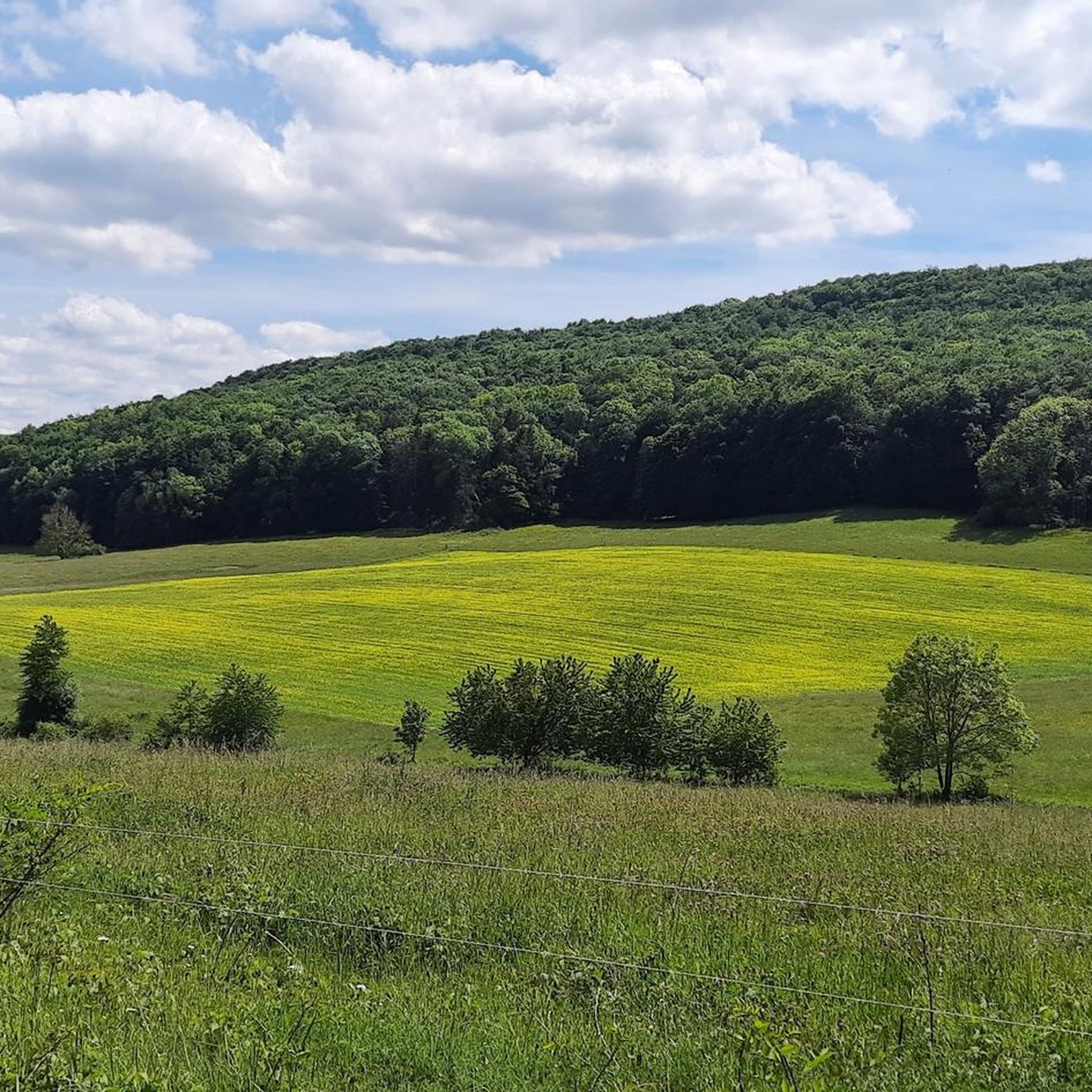
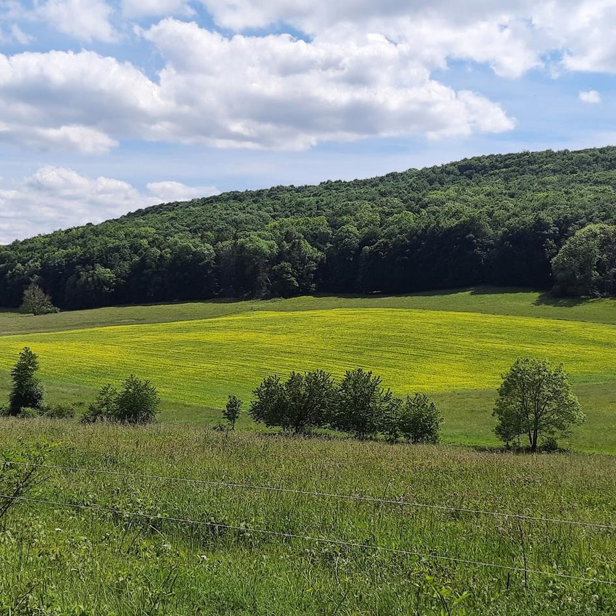
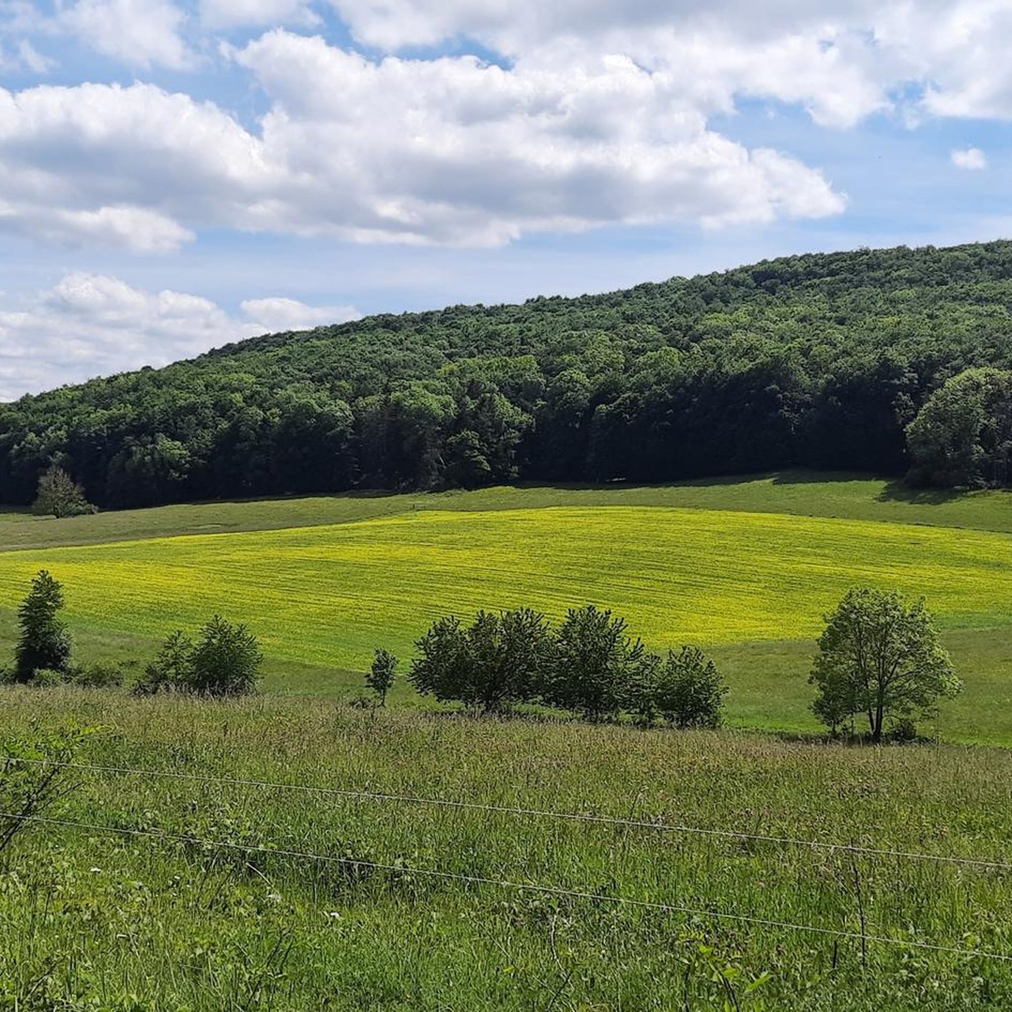
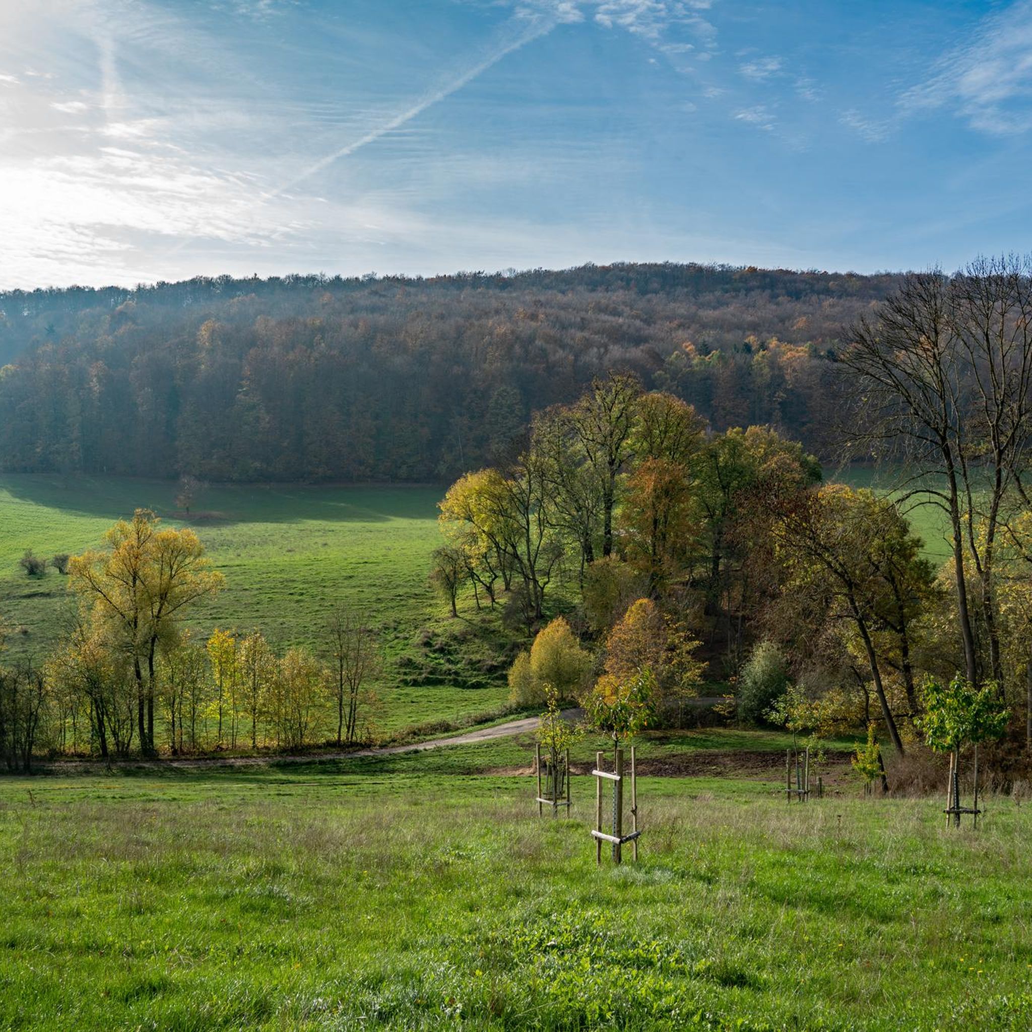
Tips from the Community

very old linden tree in a perfect spot in the middle of the village
0
0
beautiful perspective coming from Wiesenfeld
0
0
beautiful destination, you can discover a lot here, good starting point for hiking
0
0

The highest point in Eichsfeld
0
0

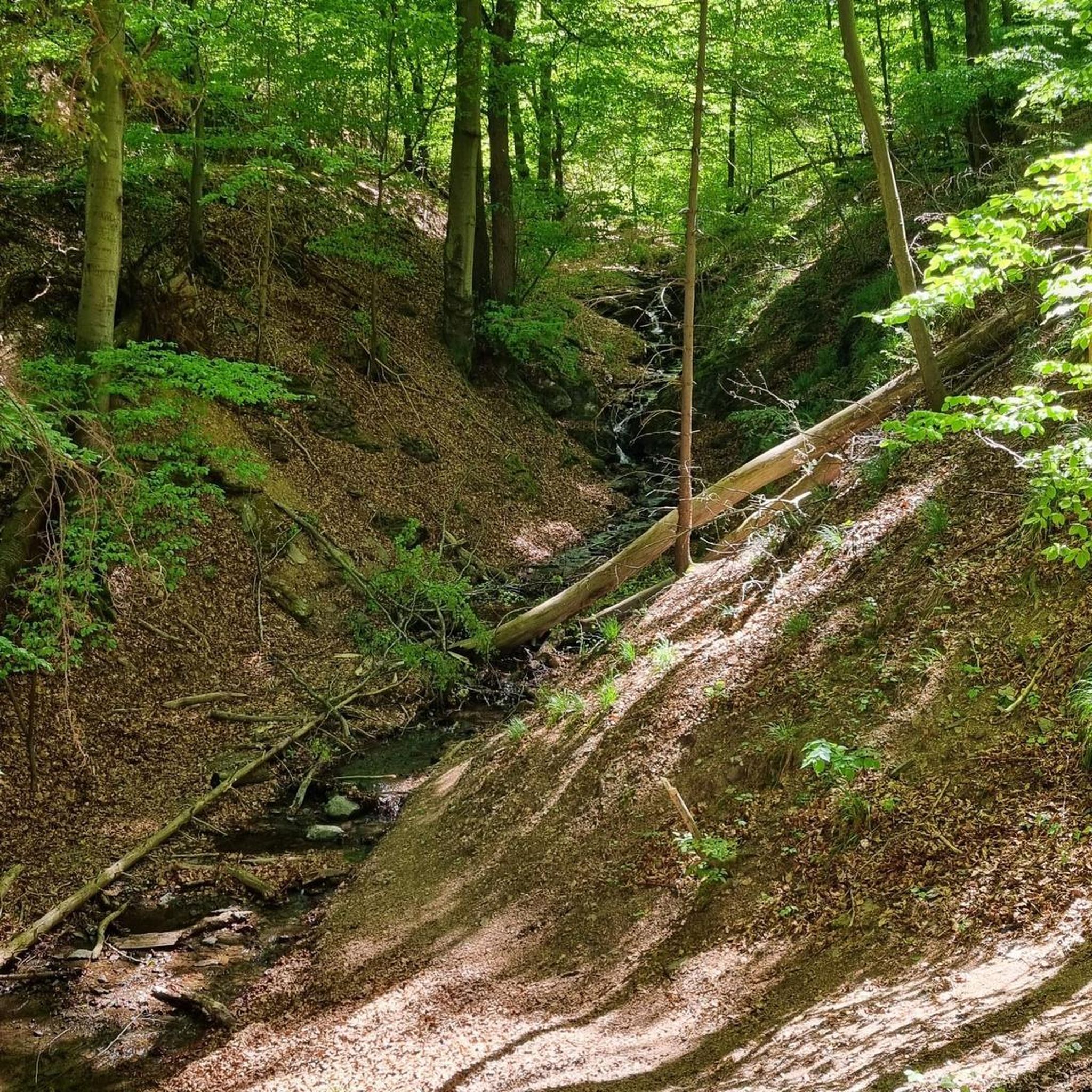
The "Pferdeloch" (Horse Hole) is a narrow and deep gorge formed by a landslide. During the Thirty Years' War, the local population hid their livestock here from plundering soldiers. The viewpoint above the Pferdeloch, at an altitude of approximately 470 meters, offers a view of Hitzelrode and the Hohestein mountain. Source: https://de.wikipedia.org/wiki/Hessische_Schweiz_bei_Meinhard
3
0
Beautiful view to the right past the Hörne into the Werra Valley near Bad Sooden-Allendorf. Rothestein Castle is located on the small ridge directly before the Werra River.
1
1

This was the first time I'd ever seen a Stasi tunnel like this. It was fascinating. They'd thought of practically everything. 😬
9
1
On the Gobert you can follow the border relatively quickly on the patrol path.
9
0
Frequently Asked Questions
How many hiking trails are available around Wiesenfeld?
Wiesenfeld offers an extensive network of over 700 hiking routes. These range from easy strolls to more challenging treks, ensuring options for all fitness levels. Specifically, there are over 350 easy routes, more than 320 moderate routes, and around 35 difficult trails to explore.
What kind of terrain can I expect when hiking in Wiesenfeld?
The landscape around Wiesenfeld is characterized by picturesque rolling hills and lush green meadows. You'll also find tranquil paths along the winding River Werra, and geological features like the Eichsfeld Escarpment with its towering shell-limestone plateaus, providing varied topography.
Are there any family-friendly hiking options in Wiesenfeld?
Yes, Wiesenfeld offers several child-friendly trails, particularly along riverbanks or through wooded areas. These routes are generally easier and shorter, perfect for families with children. An example of an easy route is the Old Linden Tree in Volkerode – View of Volkenrode loop from Volkerode, which is about 7.1 km long.
Can I bring my dog on the hiking trails in Wiesenfeld?
Many trails in the Wiesenfeld and wider Eichsfeld region are suitable for dogs. It's generally recommended to keep dogs on a leash, especially in nature protection areas or near livestock, to ensure the safety of your pet and local wildlife. Always check local signage for specific regulations.
What are some notable natural features or viewpoints to see while hiking?
Hikers can discover several impressive natural features and viewpoints. The region boasts the largest dolomite rock in the Eichsfeld and the Rachelsberg, offering legendary views over the Gobert. You can also visit the Teufelskanzel or the Dietzenröder Stein for stunning vistas. The nearby Hainich National Park is also a significant natural highlight with unique beech forests.
Are there any historical sites or landmarks along the hiking routes?
Beyond natural beauty, you can explore historical sites. The ruins of Hanstein Castle on a nearby mountain offer a glimpse into the past, and Wiesenfeld Castle with its magnificent gardens is also a notable attraction. Some routes, like the Wolfstisch Viewpoint – Historic Lime Kiln on the Gobert loop from Volkerode, specifically feature historical sites.
What is the best time of year to go hiking in Wiesenfeld?
Wiesenfeld is beautiful year-round, but spring is particularly recommended. During this time, the lush meadows transform into a vibrant 'sea of colourful flowers,' offering a truly picturesque hiking experience. Autumn also brings stunning foliage to the region's forests.
Are there any circular hiking trails in the area?
Yes, many of the trails around Wiesenfeld are designed as circular routes, allowing you to start and end at the same point. For example, the Lourdes Chapel Volkers – Antenna house Goburg loop from Volkerode is a popular moderate circular trail.
What do other hikers say about the trails in Wiesenfeld?
The routes in Wiesenfeld are highly rated by the komoot community, with an average score of 4.6 stars from over 7,500 reviews. Hikers often praise the diverse landscapes, the well-marked paths, and the variety of options for different skill levels.
Is there a longer, more challenging hiking trail in the region?
For those seeking a longer and more challenging experience, the Salzfrau Viewpoint – Grenzeck loop from Volkerode is a moderate route spanning approximately 13.3 km with significant elevation changes. Additionally, the 280 km long Eichsfeld hiking trail passes through the wider region, offering sections with varied difficulty.
How accessible is Hainich National Park from Wiesenfeld?
Hainich National Park, a UNESCO World Heritage Site known for its unique beech forests, is located nearby and is easily accessible from Wiesenfeld. It offers well-marked trails for exploration. You can find more information about the park on the National Park website.
Are there any trails that follow the River Werra?
Yes, the River Werra winds through the region, and there are tranquil hiking paths along its banks. These routes allow hikers to experience impressive nature while enjoying the calming sounds of flowing water. The Werra River Bend Trail is a highlight that showcases this beautiful river landscape.
Most popular attractions around Wiesenfeld

Get inspired with the komoot mobile app


Explore more
Browse the best Hikes in other regions.
