The best MTB trails around Wiener Neudorf
4.6
(2348)
11,304
riders
14
rides
Mountain biking around Wiener Neudorf offers a variety of trails through diverse landscapes. The region features a mix of forested hills, open plains, and areas around historical estates and castles. Elevation gains on some routes indicate opportunities for climbs and descents.
Best mountain bike trails around Wiener Neudorf
- The most popular mountain bike trail is Anninger Transmitter Tower – Alte Rodelbahn Trail loop from Wiener Neudorf, a 13.3 miles (21.4 km) trail that takes 1 hour 43 minutes to…
Last updated: July 1, 2026
4.8
(53)
433
riders
Moderate mountain bike ride. Good fitness required. Advanced riding skills necessary.
4.8
(18)
194
riders
27.7km
02:06
490m
490m
Moderate mountain bike ride. Good fitness required. Advanced riding skills necessary.

Sign up for free
4.8
(9)
89
riders
Moderate mountain bike ride. Good fitness required. Advanced riding skills necessary.
4.3
(14)
86
riders
35.1km
01:49
100m
100m
Easy mountain bike ride. Great for any fitness level. Suitable for all skill levels.
4.2
(5)
40
riders
30.1km
02:26
530m
530m
Moderate mountain bike ride. Good fitness required. Suitable for all skill levels.
Get access to more routes and recommendations from other explorers.
Sign up for free
Already have an account?
Our route recommendations are based on thousands of hikes, rides, and runs completed by other people on komoot.
Start today with a free account
Your next adventure awaits.
Login or Signup
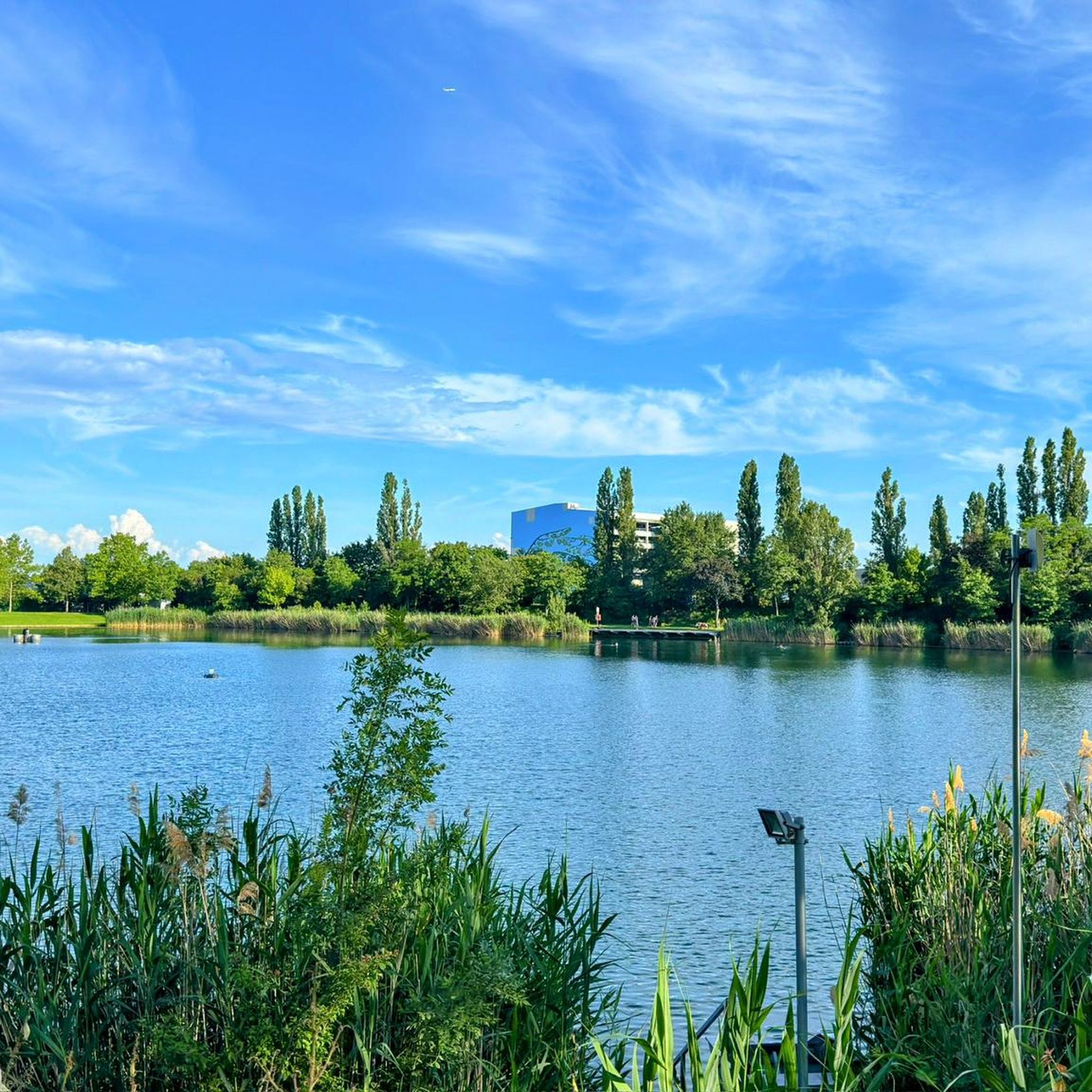
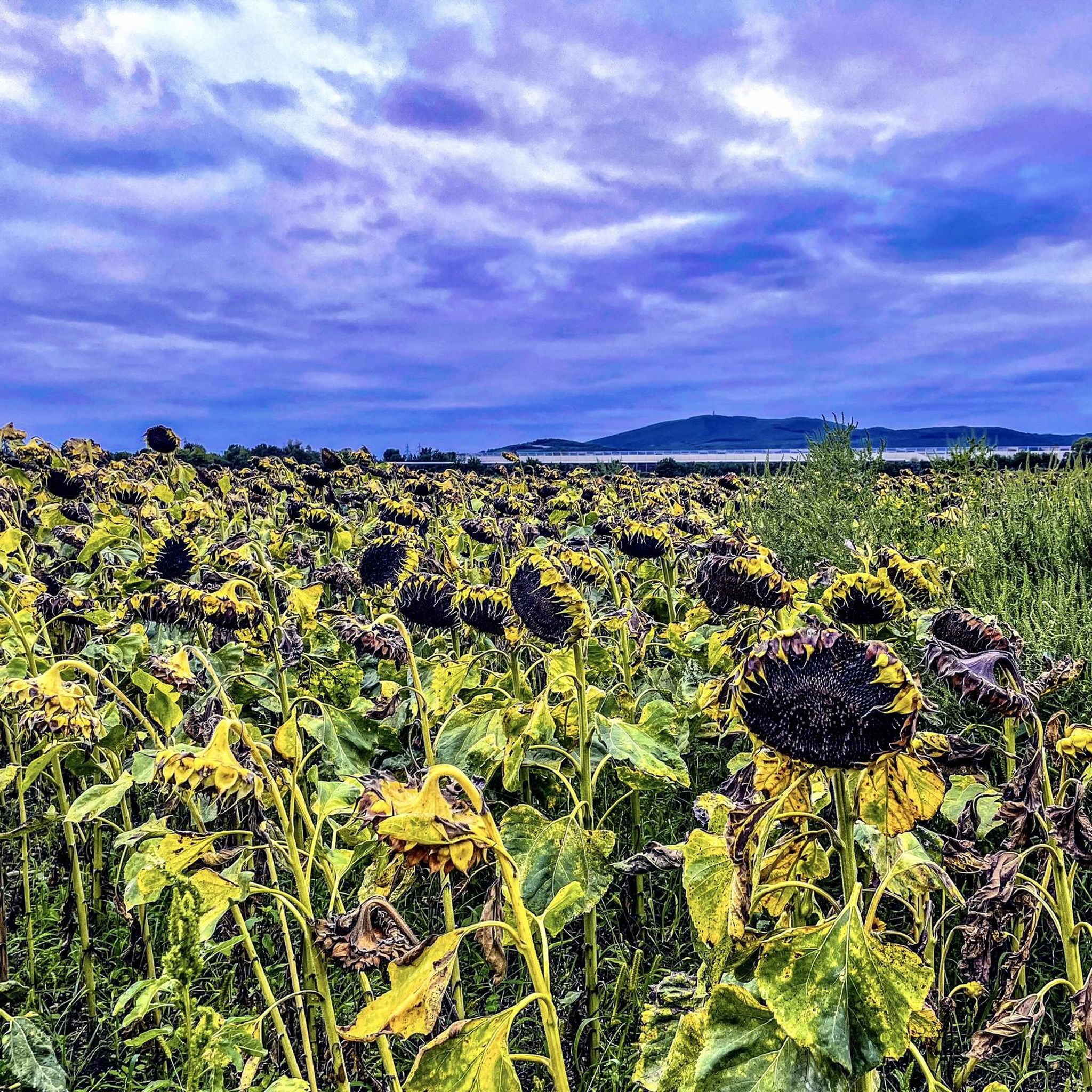
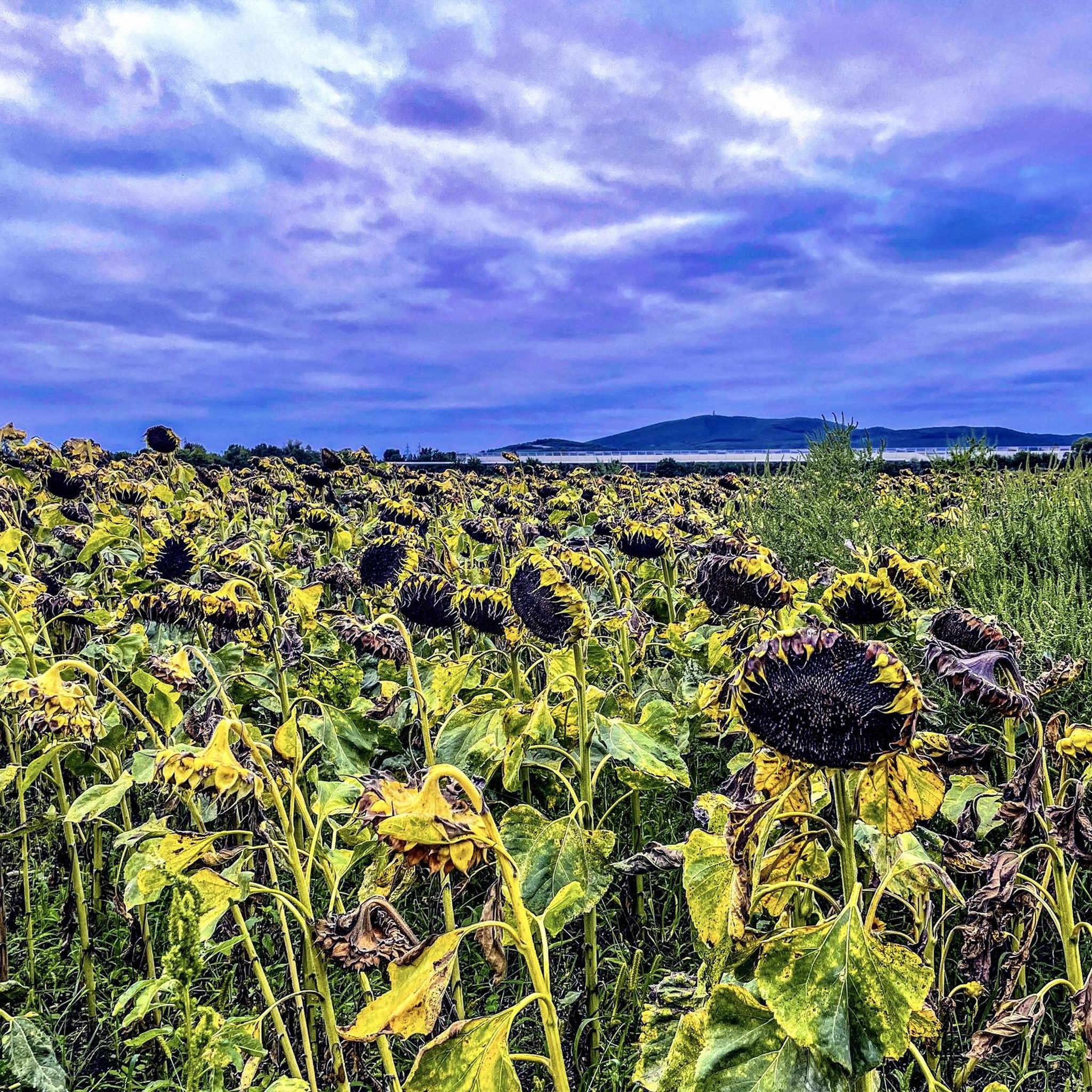
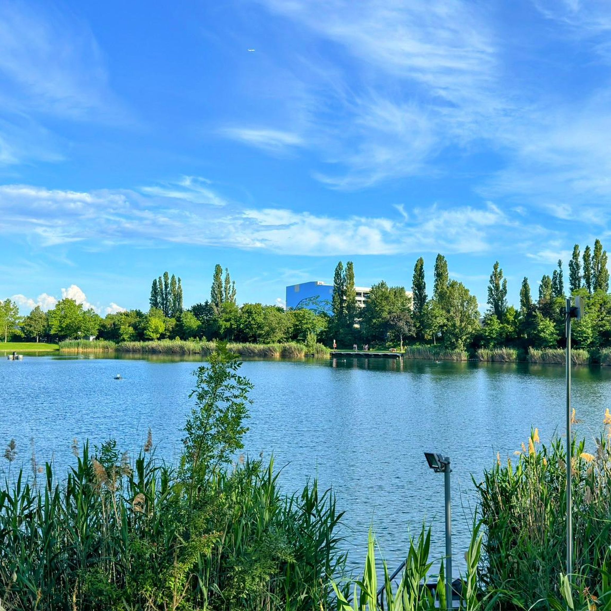
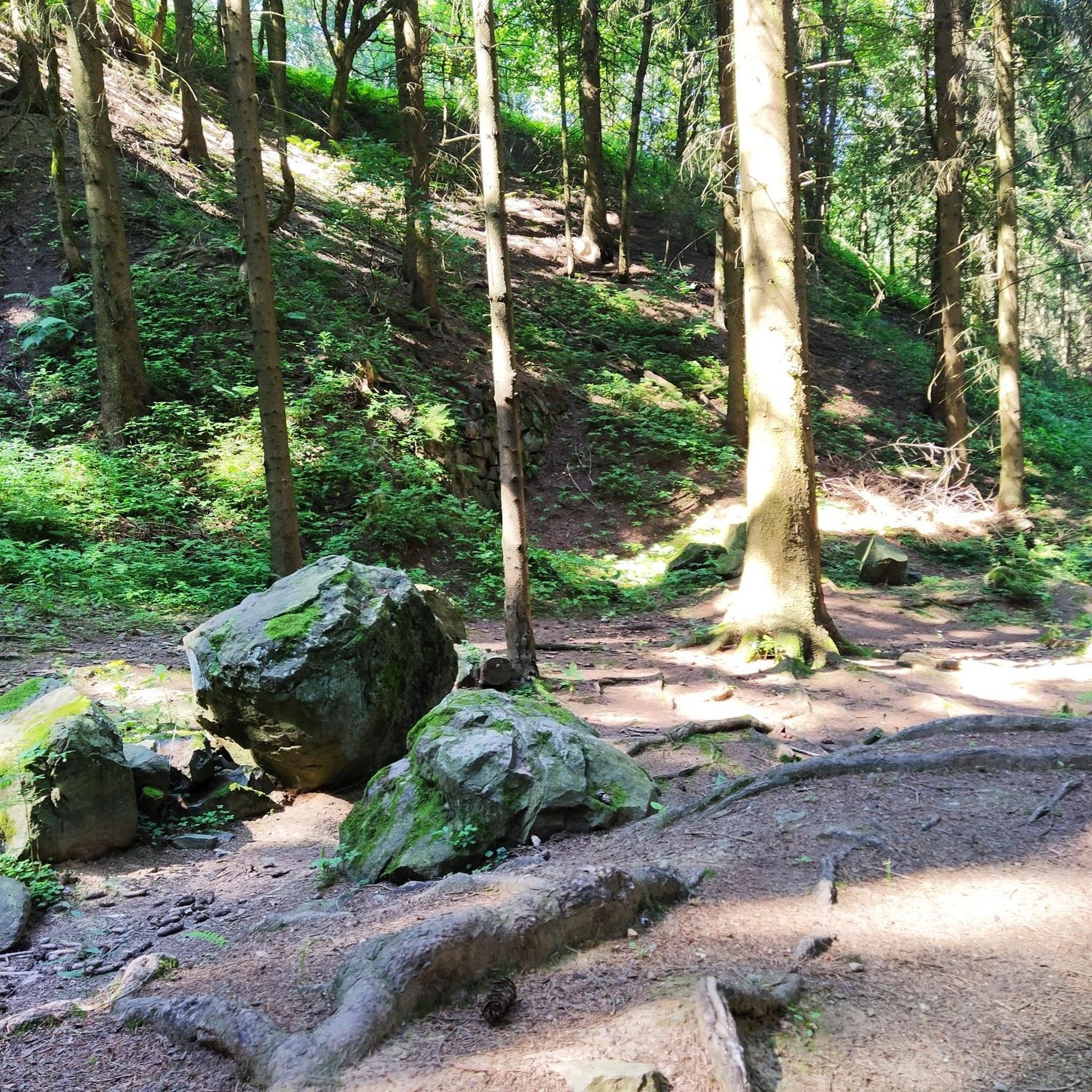
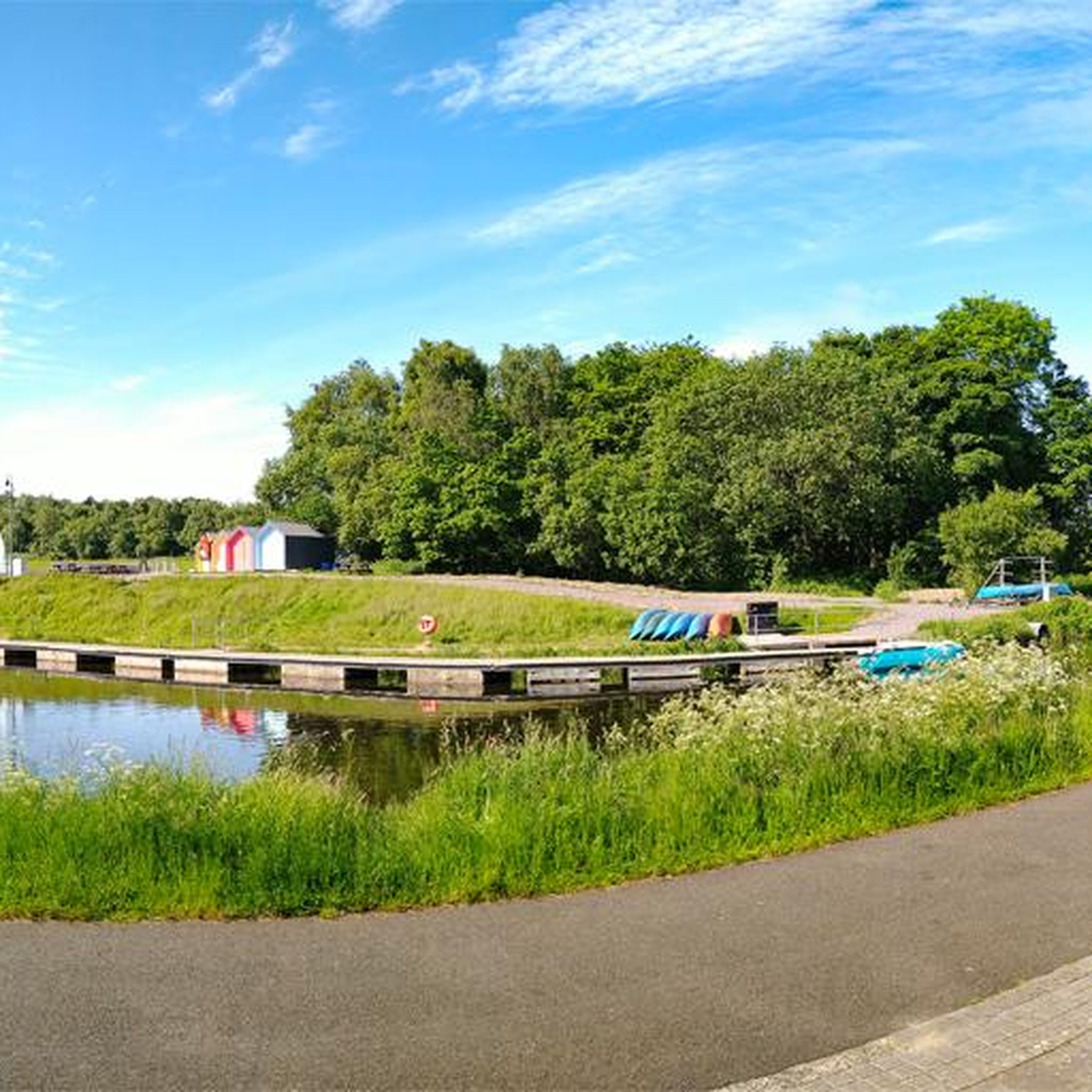
Tips from the Community

A very interesting route guidance. The path over the bridge leads along the Wiener Neustädter Canal and over the Schwechat.
0
0

The service is very attentive and friendly. Definitely reserve a table as the Heurige is very well attended!
1
0
The former 10 locks on this stretch (approx. 16 km), which all had their own names, have disappeared. The Liesing aqueduct torso also had to make way for the new railway. Near Laxenburg, the inflow water flowing from the still existing canal bed (approx. 30 km long), which flows into Wiener Neustadt from the Kehrbach, flows into the Mödlingbach. On the stretch from Laxenburg to Wiener Neustadt, the gradient steps of the locks numbered 1 (Guntramsdorf) to 36 (Sollenau) can still be found today - in whole or at least partially.
0
0
The oldest known architectural finds of the water castle date back to the first half of the 13th century. A remarkable relic from this era was uncovered in the area of the castle museum – a Romanesque portal with a floral rosette.
1
0

The Gaaden Uphill is one of the official routes to the Anninger summit. The trail follows a wide forest road throughout and is only moderately steep, but it still feels long. It's definitely less crowded than the Anninger Uphill itself, so perhaps it's the better option.
1
0
The Gaaden Uphill is one of the official routes to the Anninger summit. The trail follows a wide forest road throughout and is only moderately steep, but it still feels long. It's definitely less crowded than the Anninger Uphill itself, so perhaps it's the better option.
0
0

St. Othmar - Catholic Church Mödling and a beautiful view over Mödling
0
0

Frequently Asked Questions
What are the difficulty levels of mountain bike trails around Wiener Neudorf?
The trails around Wiener Neudorf offer a range of difficulties. You'll find 4 easy routes, 9 moderate routes, and 2 more challenging routes for experienced riders. This variety ensures options for different skill levels, from beginners to those seeking a more demanding ride.
Are there mountain bike trails suitable for families or beginners in Wiener Neudorf?
Yes, there are several options for families and beginners. For instance, the Wasserschloss Kottingbrunn – Kottingbrunn Castle Park loop from Griesfeld is an easy 21.8-mile (35.1 km) trail that takes you through scenic castle grounds and parkland, perfect for a relaxed ride.
What is the typical length of mountain bike trails in this area?
Trail lengths vary, offering options for different ride durations. Many routes range from approximately 13 miles (21 km) to over 21 miles (35 km). For example, the Anninger Transmitter Tower – Alte Rodelbahn Trail loop from Wiener Neudorf is 13.3 miles (21.4 km), while the Thallern Estate – View of Pfaffstätten and Baden loop from Griesfeld is 20.1 miles (32.4 km).
Are there challenging mountain bike trails for experienced riders?
Yes, for experienced riders seeking a challenge, there are 2 difficult routes available. These trails often feature more significant elevation gains and technical sections, providing a more intense mountain biking experience in the region's forested hills.
What can I see along the mountain bike trails around Wiener Neudorf?
Many trails offer scenic views and pass by interesting landmarks. You might encounter historical estates, castle parks, and viewpoints. Notable spots include the Anninger Hut, the Josefswarte and Kammersteiner Hut, which offer panoramic views, and the Breite Föhre Rest Area.
Are there circular mountain bike routes available?
Yes, all the featured mountain bike routes in this guide are circular, meaning they start and end at the same point. This makes planning your ride convenient, as you won't need to arrange for transport back to your starting location.
What do other mountain bikers enjoy the most about mountain biking in Wiener Neudorf?
The area is highly rated by the komoot community, with an average score of 4.6 stars from over 2,200 reviews. Reviewers often praise the diverse terrain, which includes forested hills, open plains, and routes around historical estates, as well as the well-maintained trails.
Are there any specific mountain bike parks or dedicated trails in the area?
Yes, the region features dedicated trails and bike park sections. You can explore highlights like the Anninger Trail, the Alte Rodelbahn Trail, and the Mauerwald Flow Trail, which offer specific mountain biking experiences.
What is the best season for mountain biking around Wiener Neudorf?
The region's trails are generally enjoyable throughout the warmer months, from spring to autumn, when the weather is mild and the forest paths are dry. While some trails might be accessible in winter, conditions can vary, so checking local reports is advisable.
Are there places to stop for refreshments or food along the trails?
Yes, some routes pass by huts or rest areas where you can take a break and get refreshments. For example, the Breite Föhre Rest Area is a known spot, and other routes might lead you close to local cafes or eateries in nearby towns.
How much elevation gain can I expect on the mountain bike trails?
Elevation gains vary significantly depending on the trail. Easier routes might have around 344 feet (105 meters) of ascent, while moderate and difficult trails, especially those in the Anninger area, can feature over 1,600 feet (490 meters) of climbing. This offers a good workout for those seeking ascents.
Most popular routes around Wiener Neudorf
Most popular attractions around Wiener Neudorf

Get inspired with the komoot mobile app


Explore more
Browse the best MTB trails in other regions.
