The best road cycling routes around Burghwallis
4.4
(76)
2,351
riders
131
rides
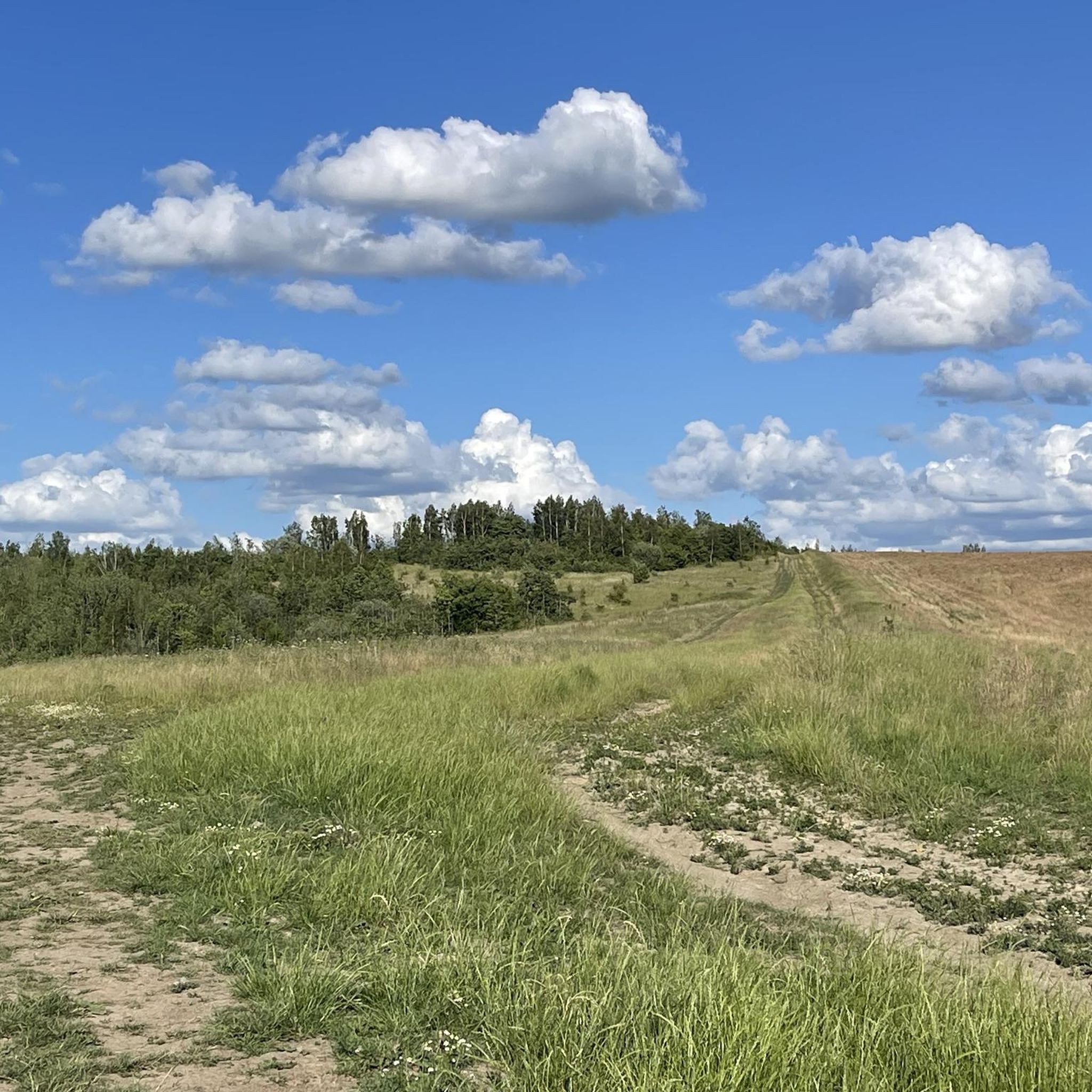
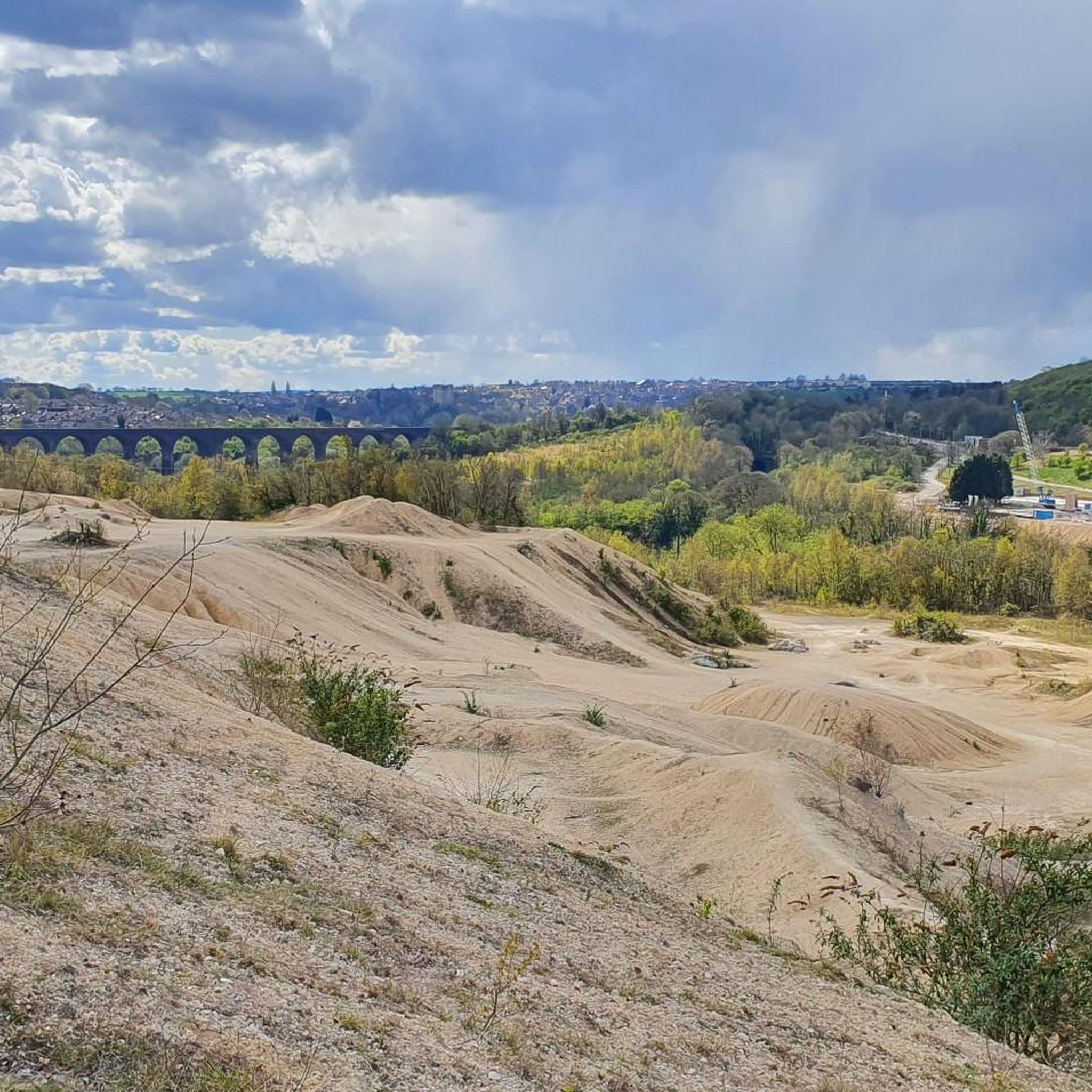
Road cycling routes around Burghwallis are characterized by gently undulating terrain, with an average elevation of 72 feet, making them suitable for varied yet manageable rides. The area features a mix of farmland and woodland, providing a pleasant visual experience for cyclists. Quiet country roads are prevalent, offering routes away from heavy traffic. This rural setting in South Yorkshire provides access to a broader network of cycling-friendly environments.
Best road cycling routes around Burghwallis
- The most popular road cycling route…
Last updated: October 14, 2026
5.0
(2)
32
riders
Easy road ride. Great for any fitness level. Mostly well-paved surfaces and easy to ride.
8
riders
26.4km
01:10
180m
180m
Easy road ride. Great for any fitness level. Mostly well-paved surfaces and easy to ride.

8
riders
46.7km
01:55
140m
140m
Easy road ride. Great for any fitness level. Mostly well-paved surfaces and easy to ride.
9
riders
28.3km
01:15
200m
200m
Easy road ride. Great for any fitness level. Mostly well-paved surfaces and easy to ride.
5
riders
Easy road ride. Great for any fitness level. Mostly well-paved surfaces and easy to ride.
Get access to more routes and recommendations from other explorers.
Already have an account?
Our route recommendations are based on thousands of hikes, rides, and runs completed by other people on komoot.
Start today with a free account
Your next adventure awaits.

Tips from the Community

Impassable passage for touring bikes! What were the English thinking??!!
0
0


Kirkhouse Green Lift Bridge is a minor waterways place on the Sheffield and South Yorkshire Navigation (New Junction Canal) between Sykehouse Lift Bridge (Sykehouse village is about a mile to the east.) (2 miles and 4¾ furlongs and 1 lock to the northeast) and Bramwith Junction (Junction of Sheffield and South Yorkshire Navigation main line with New Junction Canal) (1 mile and 7½ furlongs to the southwest). https://canalplan.uk/place/5kba
1
0
Liftbridge over the New Junction Canal. Sykehouse village is about a mile to the east.
1
0
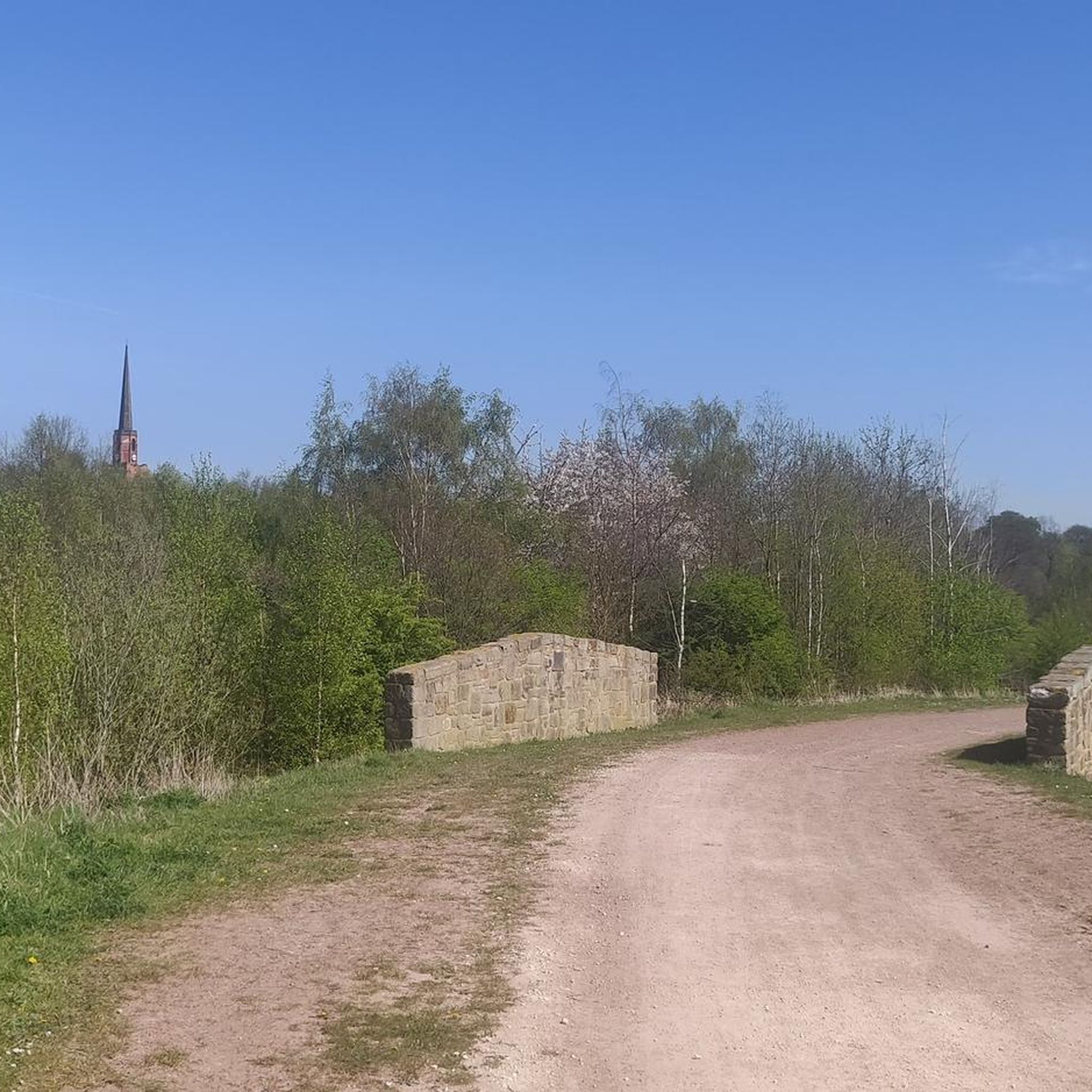
This lovely rest area is located in Sykehouse, right on the Trans Pennine Trail.
1
0

One of the few bridges that goes over the river Don. The tranquility of the river is quite beguiling but be careful as there is no footpath going over the bridge.
1
0

Frequently Asked Questions
What is the typical terrain for road cycling around Burghwallis?
The terrain around Burghwallis is generally gently undulating, with an average elevation of 72 feet. You'll find varied yet manageable routes through a mix of farmland and woodland, offering scenic views and quieter country roads away from heavy traffic.
How many road cycling routes can I find in the Burghwallis area?
There are over 140 road cycling routes available around Burghwallis on komoot, catering to various skill levels from easy to difficult. This includes 49 easy routes, 85 moderate routes, and 8 more challenging options.
Are there any family-friendly road cycling routes near Burghwallis?
Yes, Burghwallis offers several easy road cycling routes suitable for families. For example, the Askern Lake – Iron Horse Equestrian Café loop from Askern is an easy 28.9-mile path featuring flat sections around Askern Lake, ideal for a relaxed ride.
What kind of historical landmarks or attractions can I see along road cycling routes?
Road cycling routes around Burghwallis can take you past interesting historical sites. The village itself has Anglo-Saxon origins and was a staging post on the Great North Road. You might also encounter the site of a Roman Fort or the legendary Robin Hood's Well just off the A1. For natural beauty, consider routes near Brockadale Nature Reserve or River Don Riverside Path, Sprotbrough.
Are there any circular road cycling routes starting from Burghwallis or nearby?
Yes, many routes in the area are designed as loops. For a moderate circular ride, consider the Carlton Towers – The Tea Barn loop from Walden Stubbs, which covers 33.8 miles through open countryside. Another option is the easy Iron Horse Equestrian Café – Askern Lake loop from Adwick.
What do other cyclists say about road cycling in Burghwallis?
The road cycling routes around Burghwallis are highly rated by the komoot community, with an average score of 4.4 stars from over 50 reviews. Cyclists often praise the varied terrain, quiet rural roads, and the pleasant visual experience of riding through farmland and woodlands.
Are there options for longer, more challenging road cycling routes?
Yes, for those seeking a greater challenge, there are longer and more demanding routes. An example is the Low Lane Swing Bridge – Bishopthorpe Palace Gatehouse loop from Adwick, an 82.7-mile trail that leads through varied rural landscapes and typically takes over 6 hours to complete.
Can I find cafes or pubs along the road cycling routes in the area?
Yes, the region offers opportunities to stop for refreshments. While specific cafes and pubs vary by route, the presence of villages and towns like Askern and Sprotbrough (home to The Boat Inn, Sprotbrough) suggests options for breaks. Routes like the Bench and Play Park Rest Area – Birkin Tea Room loop from Adwick indicate specific refreshment stops.
What is the best time of year for road cycling in Burghwallis?
The gently undulating terrain and rural setting make Burghwallis enjoyable for road cycling throughout much of the year. Spring and summer offer pleasant weather for exploring the open countryside and woodlands. Autumn can also be beautiful with changing foliage, while winter rides are possible, though conditions may vary.
Are there any lakes or natural features to explore by road bike?
Yes, you can incorporate natural features into your rides. Askern Lake is a notable feature, with routes like the Askern Lake – Iron Horse Equestrian Café loop from Askern passing by it. Other natural areas include Sprotbrough Flash Nature Reserve and Highfields Lake.
Is road cycling in Burghwallis suitable for beginners?
Absolutely. With 49 easy routes available, beginners can find suitable options. These routes often feature flatter sections and quieter roads, allowing new cyclists to enjoy the scenery without overly strenuous climbs. The gentle undulations of the region are generally manageable for those new to road cycling.
Most popular attractions around Burghwallis

Get inspired with the komoot mobile app


Explore more
Browse the best Road cycling routes in other regions.
