The best running trails around Bonsall
4.5
(90)
13,787
runners
457
runs
Jogging around Bonsall offers diverse landscapes, from rolling hills and lush valleys to agricultural land. The region's Mediterranean-like climate supports abundant greenery throughout the year, providing a serene backdrop for outdoor activity. Bonsall is situated in the foothills of the Peninsular Mountain Range, with the San Luis Rey River also contributing to its natural features. The area's rural character creates an inviting atmosphere for runners.
Best jogging routes around Bonsall
- The most popular jogging route is Derwent Gardens – High…
Last updated: October 15, 2026
5.0
(2)
135
runners
13.1km
01:26
210m
210m
Moderate run. Good fitness required. Mostly paved surfaces. Suitable for all skill levels.
99
runners
17.2km
01:57
330m
330m
Hard run. Very good fitness required. Mostly paved surfaces. Suitable for all skill levels.

61
runners
7.70km
00:50
130m
130m
Moderate run. Good fitness required. Mostly paved surfaces. Suitable for all skill levels.
51
runners
Moderate run. Good fitness required. Mostly paved surfaces. Suitable for all skill levels.
40
runners
5.85km
00:40
130m
120m
Moderate run. Good fitness required. Mostly paved surfaces. Suitable for all skill levels.
Get access to more routes and recommendations from other explorers.
Already have an account?
Our route recommendations are based on thousands of hikes, rides, and runs completed by other people on komoot.
Start today with a free account
Your next adventure awaits.
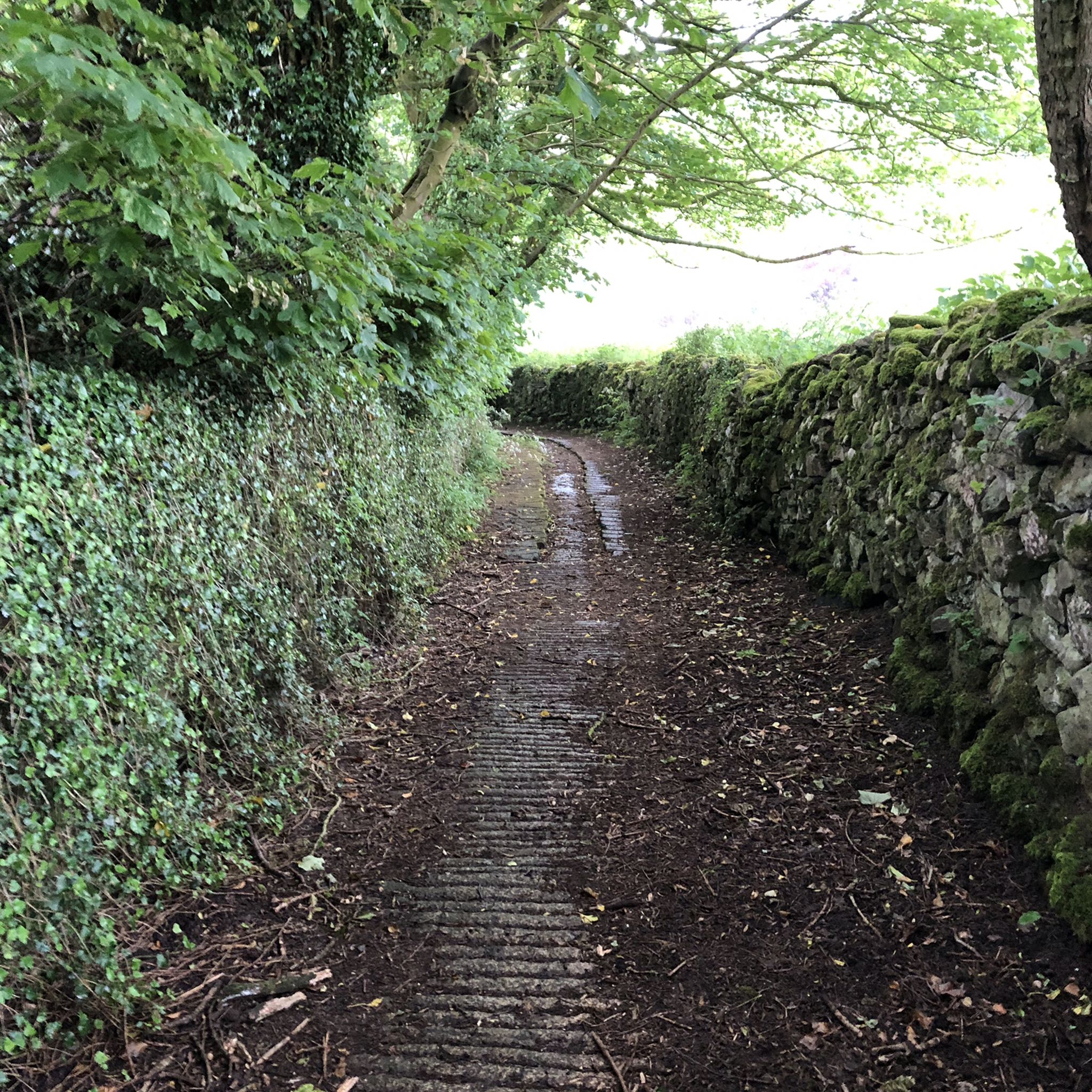
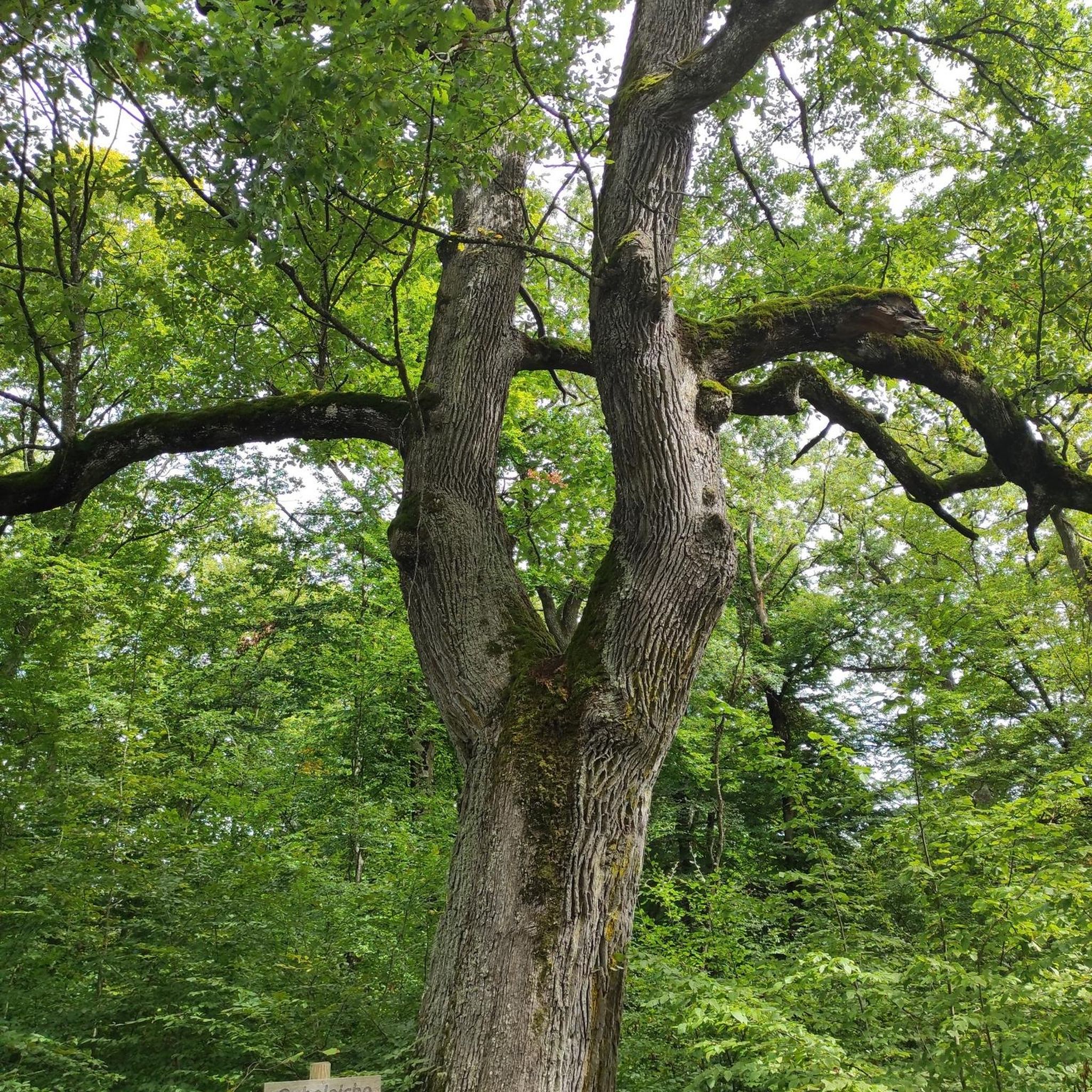
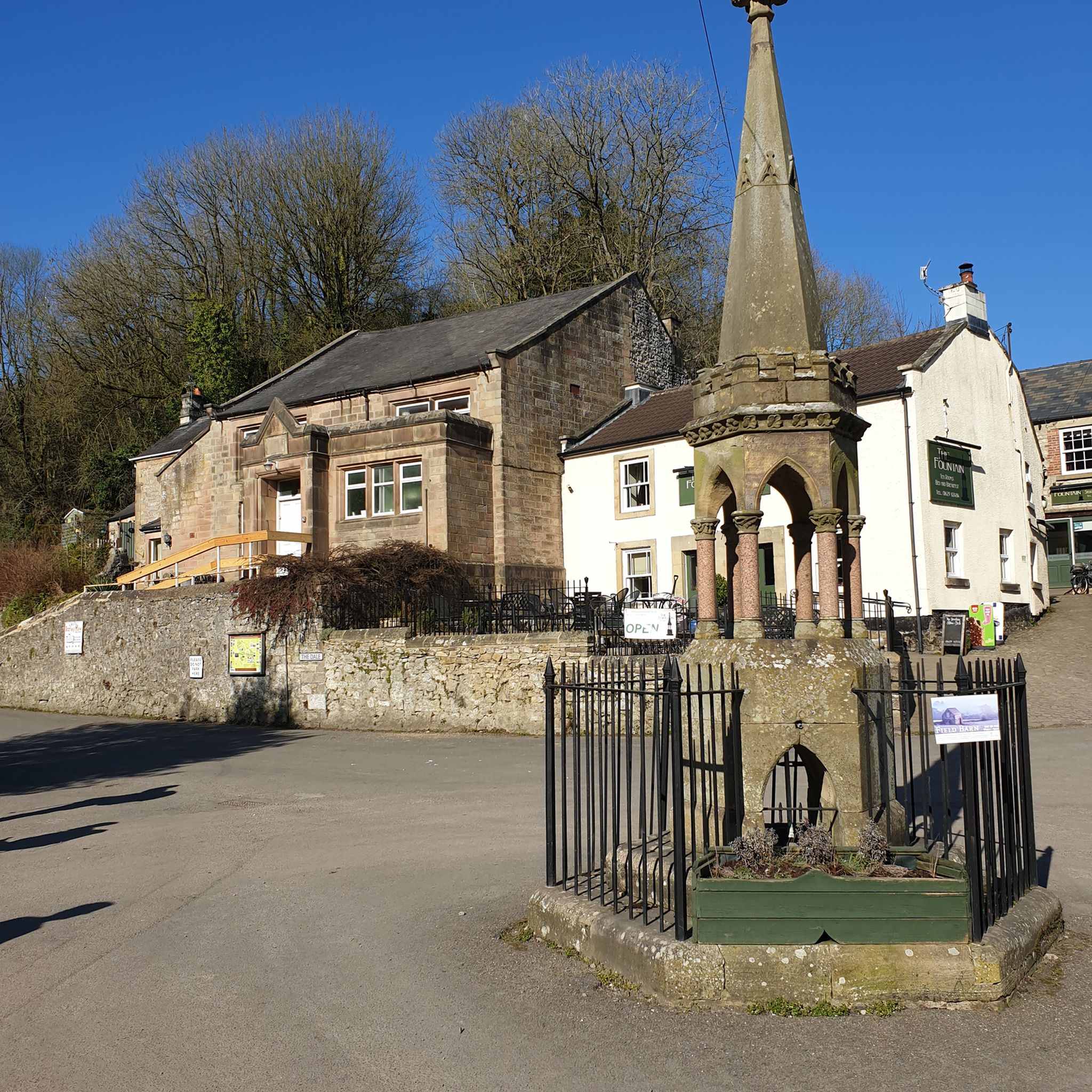
Tips from the Community

Check shop opening times
0
0

There’s a rock fall just beyond here if you’re heading NW - they have closed the bridleway but there are no signs before the last opportunity to take a detour - i have added pictures of the signs with all the information. I took a detour on bicycle through Brassington. Hopefully the trail should be open by March 6th 2026.
0
0

A towpath (also known as a towpath or towpath), which runs alongside the river or canal, was an indispensable part of the transport infrastructure in earlier times. Before ships could be propelled by motor power, horses walked along the bank and pulled the vessel against the current. This activity was called "treideln" in German, and that's how the towpath got its name. Where these paths – running directly along the bank – have survived to this day, they no longer serve their original purpose, but are still popular with hikers and cyclists.
0
0


Incredible engineering from the past when railway wagons were winched up and down the inclines.
0
0
Nice walk along the Bentley Brook, and rock face the other side ..
0
0

Great spot especially when the engine is running.
0
0

Small visitor centre with parking, toilets and tea/coffee.
0
0
Frequently Asked Questions
How many running routes are available around Bonsall?
There are over 470 running routes around Bonsall, offering a wide variety of options for all skill levels. You'll find everything from easy, flat paths to more challenging trails with significant elevation changes.
What types of terrain can I expect on jogging routes in Bonsall?
Jogging routes in Bonsall feature diverse landscapes, including picturesque rolling hills, lush valleys, and agricultural land. The region is also characterized by the foothills of the Peninsular Mountain Range and the presence of the San Luis Rey River, providing a serene and varied backdrop for your run.
Are there any easy running routes suitable for beginners or families?
Yes, Bonsall offers several easy running options. The Cromford Canal towpath – Cromford Wharf loop from Derbyshire is a moderate 3.7-mile path that follows a historic canal with minimal elevation changes, making it suitable for a relaxed run. The San Luis Rey River Trail is also known for its smooth and mostly flat path, ideal for all skill levels.
What is the best time of year to go jogging in Bonsall?
Bonsall enjoys a Mediterranean-like climate, which means comfortable temperatures and abundant greenery throughout the year. This makes it an excellent destination for outdoor activities like jogging in any season. Mornings and late afternoons are generally ideal to avoid the warmest parts of the day.
Are there any dog-friendly running trails in the Bonsall area?
Many trails in the Bonsall area are dog-friendly, but it's always best to check specific park regulations before you go. For example, Guajome Regional Park and the San Luis Rey River Trail are popular choices where dogs are often welcome, usually on a leash.
What are some scenic viewpoints or attractions I can see along the running routes?
While jogging in Bonsall, you can enjoy sweeping views of the surrounding area, especially from trails like Monserate Mountain. The region's rural character, marked by estate lots and agriculture, also provides a pleasant visual experience. Nearby attractions include Matlock Bath and the High Tor and Giddy Edge, offering stunning natural beauty.
Are there any circular running routes around Bonsall?
Yes, many routes in Bonsall are designed as loops. For instance, the Derwent Gardens – High Peak Junction loop from Matlock Bath is a challenging 10.7-mile circular trail. Another option is the Middleton Top Engine House – High Peak Trail loop from Middleton CP, a 5.6-mile route through varied terrain.
What do other runners say about the trails in Bonsall?
The running routes in Bonsall are highly rated by the komoot community, with an average score of 4.4 stars from over 80 reviews. Runners frequently praise the diverse terrain, from rolling hills to peaceful river paths, and the overall serene atmosphere that makes for an inviting outdoor experience.
Are there any challenging running routes for experienced runners?
Absolutely. For those seeking a more strenuous workout, the Derwent Gardens – High Peak Junction loop from Matlock Bath is a difficult 10.7-mile trail with significant elevation gain. Monserate Mountain Trail also offers a challenging ascent with rewarding views.
Is public transport or parking available near the running trails?
Parking is generally available at trailheads and parks like Guajome Regional Park. For specific public transport options to trail access points, it's advisable to check local transit schedules, as Bonsall maintains a rural character. Information on community trails and pathways can be found on the San Diego County website.
Are there any permits required to use the running trails in Bonsall?
Generally, permits are not required for public access to most running trails in the Bonsall area. However, it's always a good practice to check for any specific regulations or temporary closures for individual parks or preserves before your visit.
Can I find amenities like cafes or restrooms near the running routes?
Given Bonsall's rural character, amenities like cafes might not be directly adjacent to every trailhead. However, larger parks like Guajome Regional Park typically offer restrooms and other facilities. It's recommended to plan accordingly and carry water, especially on longer runs.
Most popular routes around Bonsall
Most popular attractions around Bonsall

Get inspired with the komoot mobile app


Explore more
Browse the best Running Trails & Routes in other regions.
