The best cycling routes around Damüls
4.4
(683)
7,704
riders
80
rides
Touring cycling routes around Damüls are set in the Austrian state of Vorarlberg, at an altitude of approximately 1,430 meters. The region features a diverse landscape with picturesque mountains, including the Damülser Mittagsspitze, green alpine meadows, and dense forests. Routes often traverse the edge of the Großes Walsertal biosphere reserve, offering varied terrain from paved paths to challenging unpaved segments with significant elevation gains.
Best touring cycling routes around Damüls
- The most popular touring cycling route is Uga Alpe –…
Last updated: August 27, 2026
4.8
(50)
746
riders
40.9km
04:01
1,370m
1,370m
Hard bike ride. Very good fitness required. Mostly paved surfaces. Suitable for all skill levels.
4.6
(16)
148
riders
23.7km
02:31
980m
980m
Hard bike ride. Very good fitness required. Mostly paved surfaces. Suitable for all skill levels.

Sign up for free
5.0
(8)
129
riders
31.2km
03:33
1,360m
1,360m
Hard bike ride. Very good fitness required. Mostly paved surfaces. Suitable for all skill levels.
4.0
(1)
100
riders
54.9km
04:12
1,360m
1,360m
Hard bike ride. Very good fitness required. Mostly paved surfaces. Suitable for all skill levels.
5.0
(3)
94
riders
14.5km
01:25
590m
590m
Hard bike ride. Very good fitness required. Mostly paved surfaces. Suitable for all skill levels.
Get access to more routes and recommendations from other explorers.
Sign up for free
Already have an account?
Our route recommendations are based on thousands of hikes, rides, and runs completed by other people on komoot.
Start today with a free account
Your next adventure awaits.
Login or Signup
Popular around Damüls

North Alpine Trail 01 – Hike across Austria in 49 days
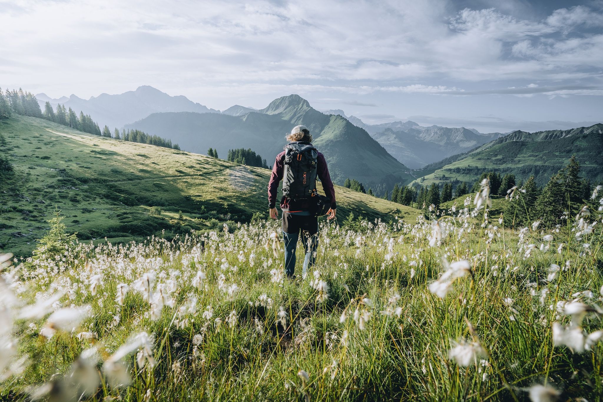
Pure joy on summit hikes in the Bregenzerwald
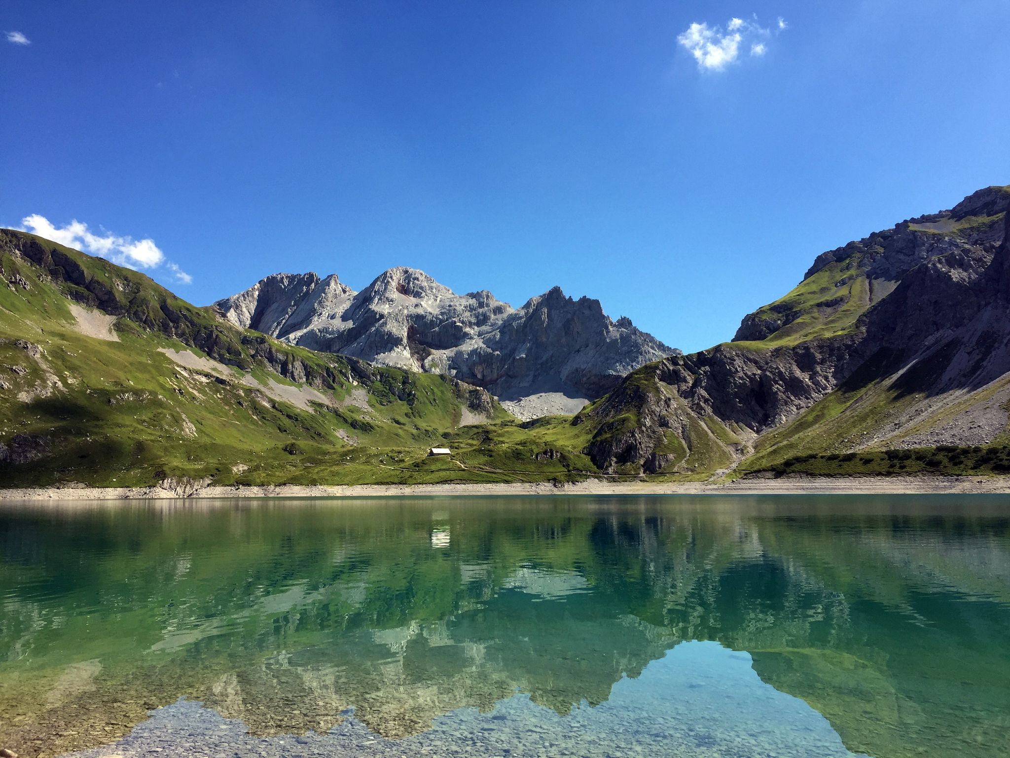
Mighty mountains and historic cities – hiking in Austria
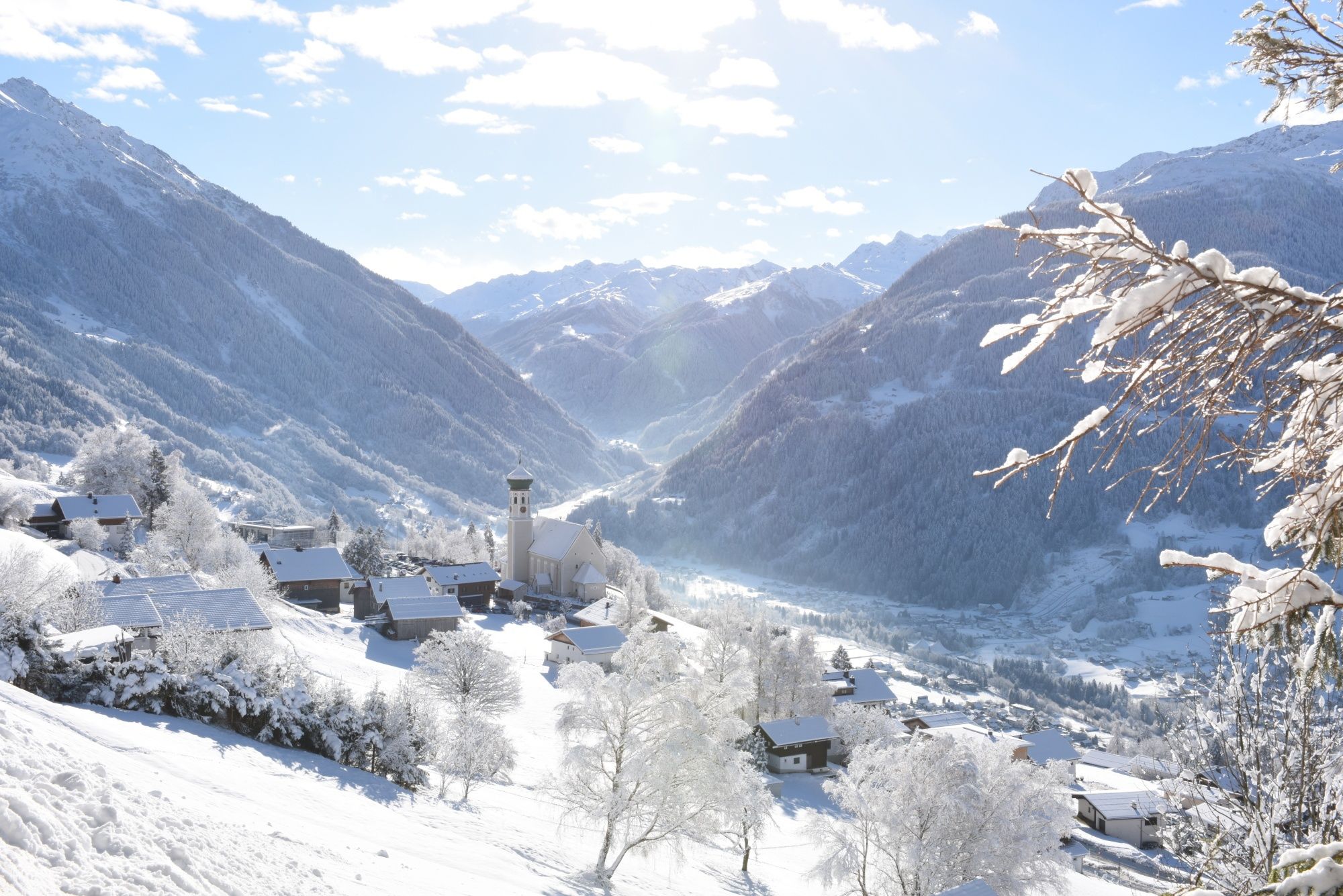
Tobogganing, ice bathing and hiking – winter away from the slopes
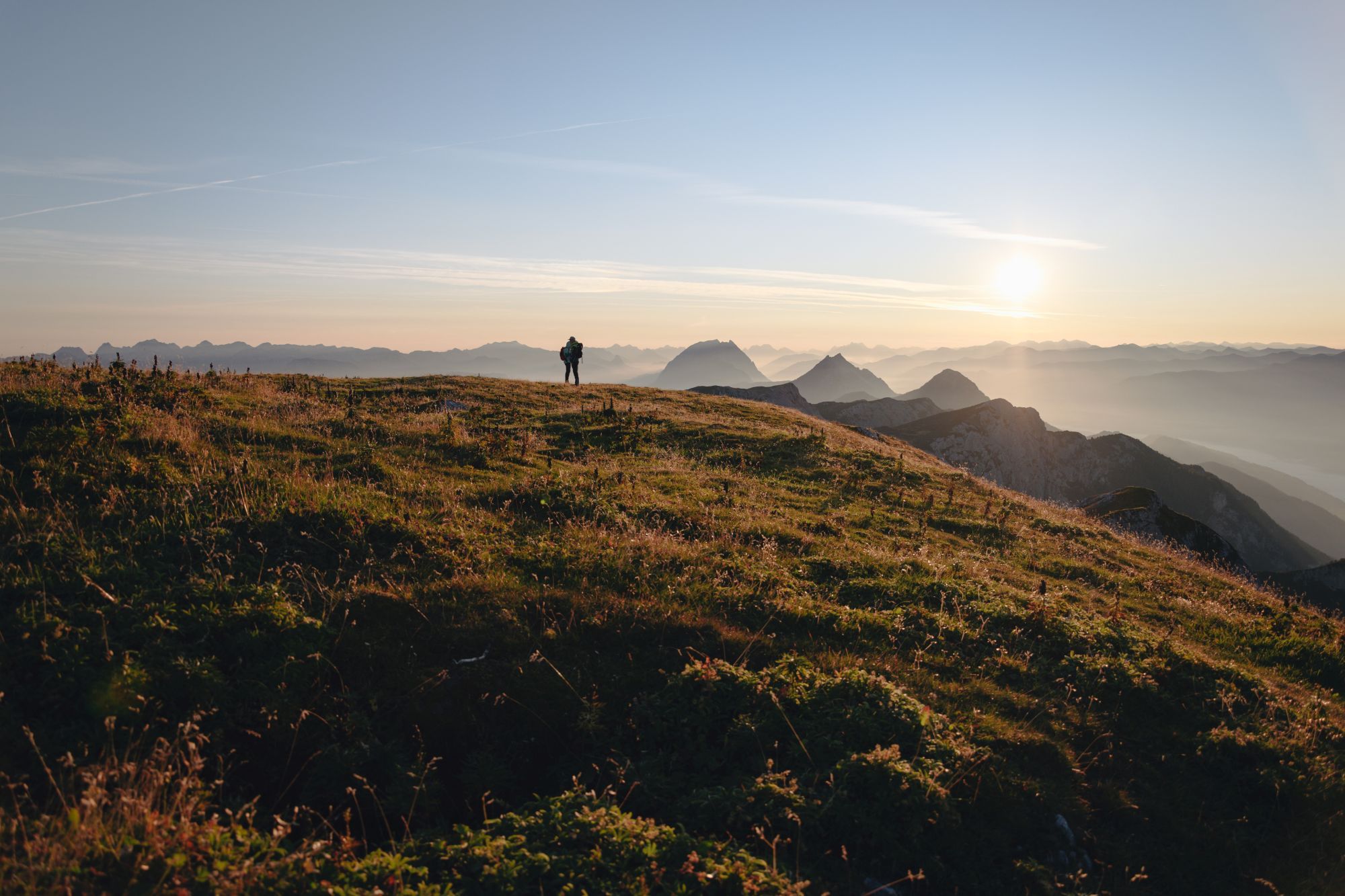
2022 – the hiking summer of your life
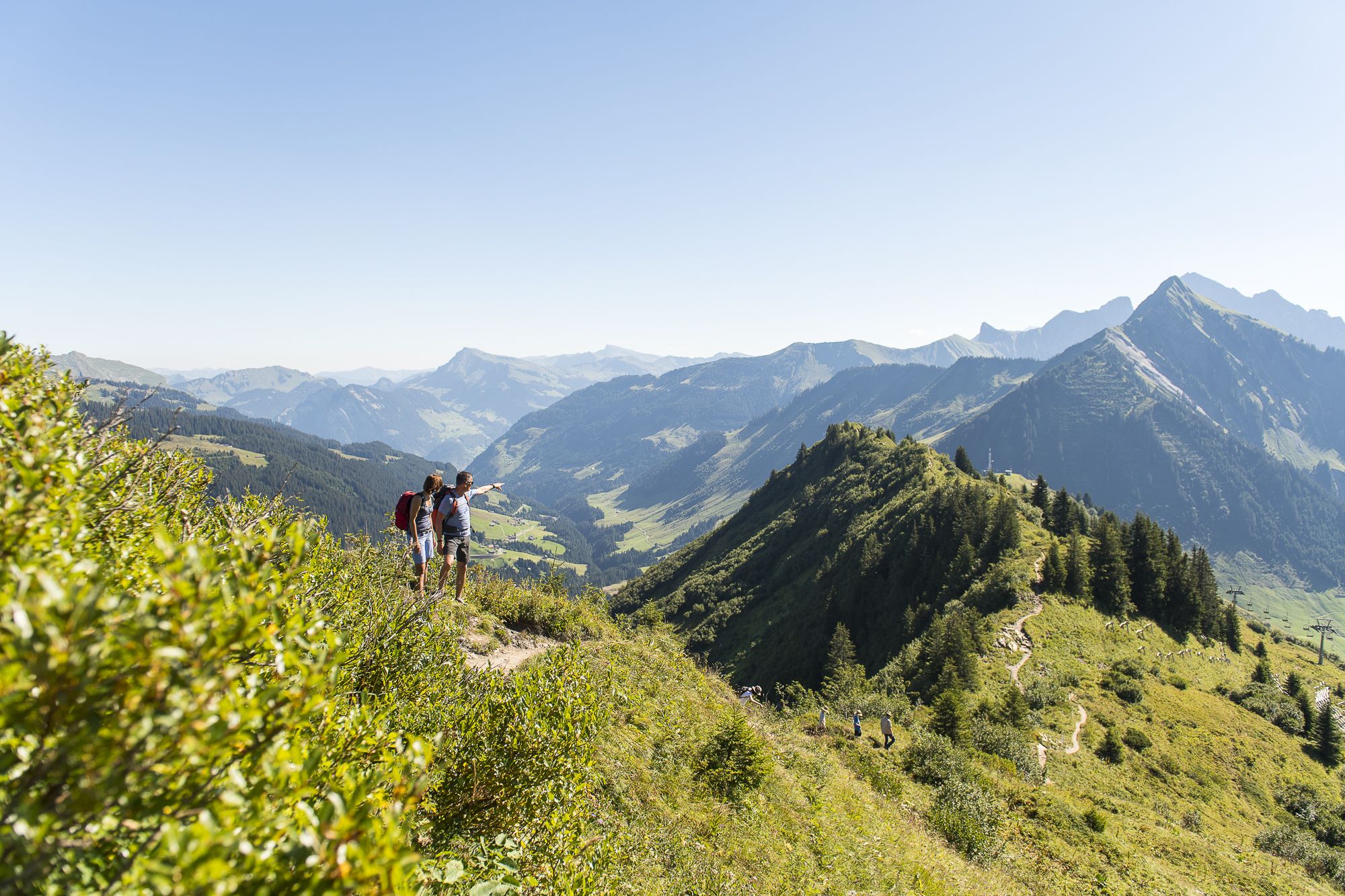
High summits and panoramic views – hiking in Damüls-Faschina
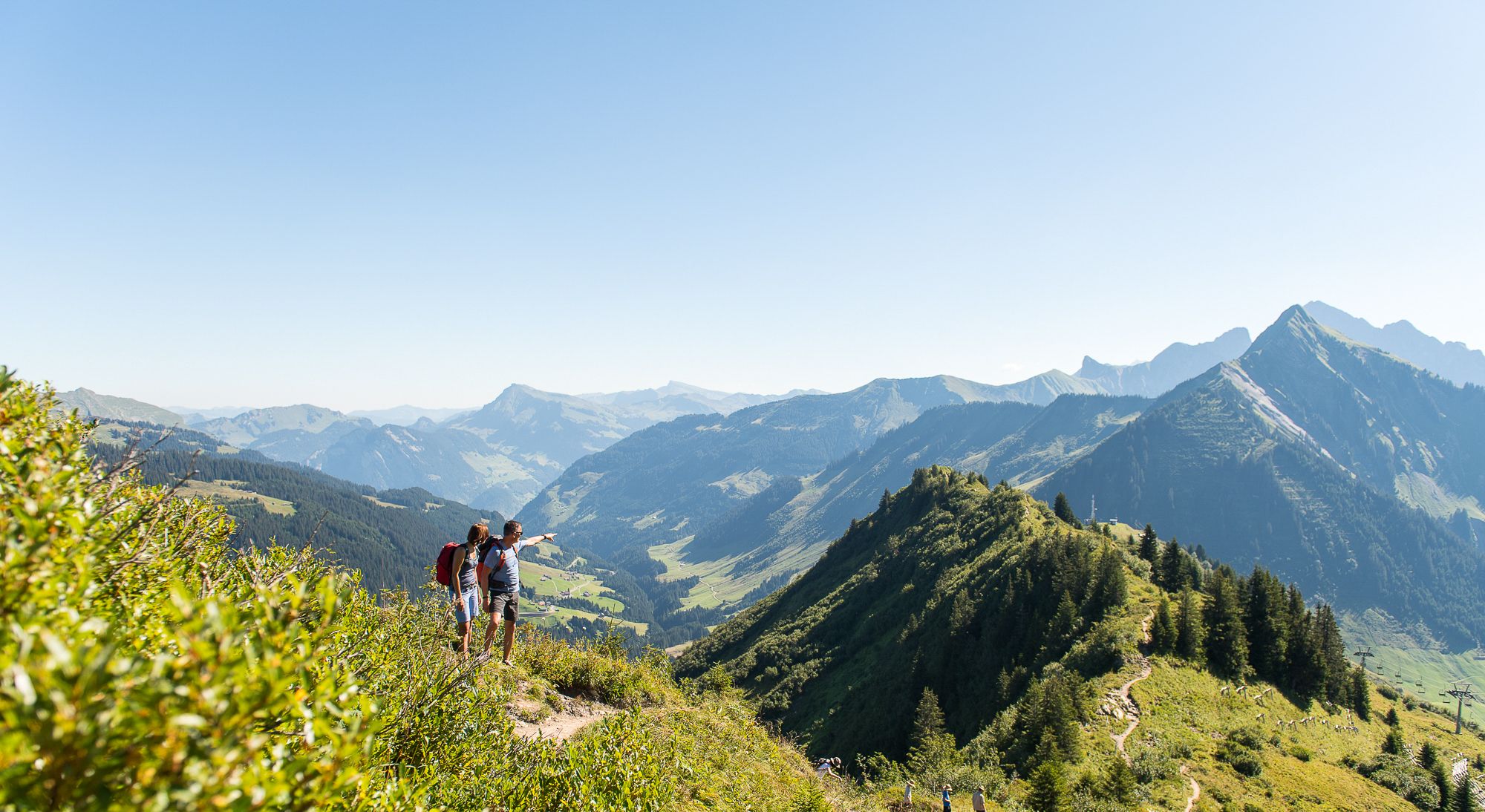
Enjoy an active summer in Damüls-Faschina
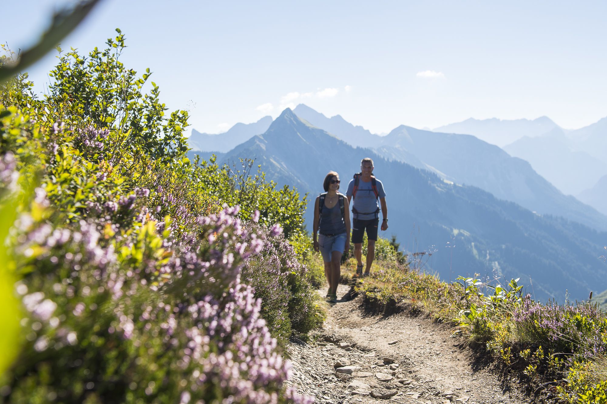
Active autumn in Damüls-Faschina
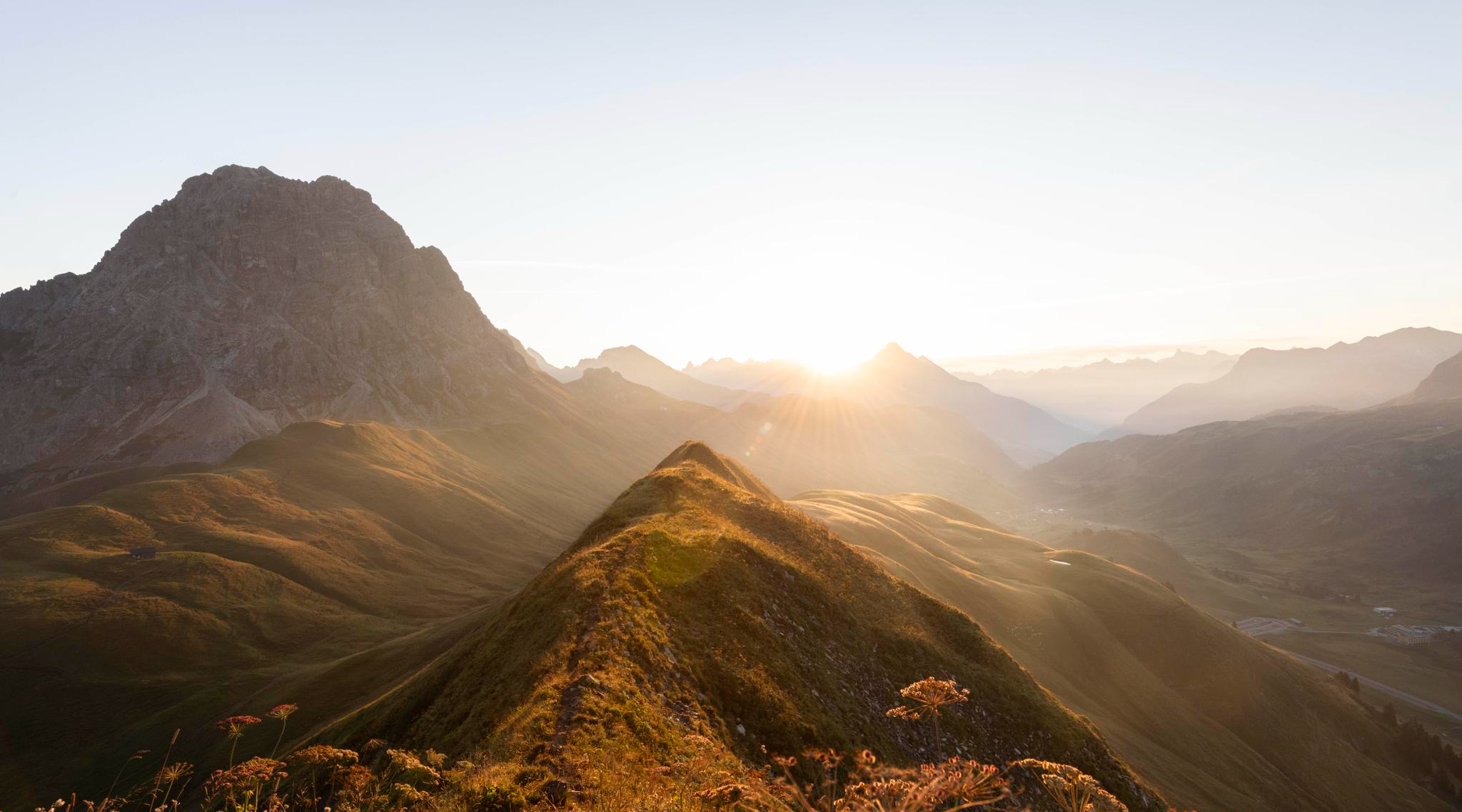
Hoch hinaus im Herbst – Wanderungen im Bregenzerwald
Hiking around Damüls
Other adventures around Damüls


Tips from the Community


The Mellental valley stretches for a long time in a deep mountain gorge behind Mellau and finally ends at about the same elevation as the Hohes Licht mountain.
2
0
View into the Mellental valley behind Mellau. There are some beautiful viewpoints here on the open alpine meadows.
2
0

Super beautiful there, there is always a lot to discover here.
0
0

Perfect starting point with ample parking
0
0

There's an inn here with a large panoramic restaurant and sun terrace. Along the road, there's a smaller building with a terrace.
1
0

The old wooden bridge has a window towards Schoppernau, great to take pictures from there ⛰️👌
1
0

From the Dornbirn side, the route is wide and has a fairly constant gradient of a maximum of 10%. It offers beautiful views towards the Rhine Valley and Lake Constance, but there's little shade, making it a challenge in the summer heat. It's relatively busy, so enjoy it in the early morning hours if possible. The Schwarzenberg side is smaller and more winding, but also leads mostly uphill through meadows with great views but little shade. The very good road surface (June 2025) makes both up and down enjoyable.
0
0
Frequently Asked Questions
What kind of terrain can I expect on touring cycling routes around Damüls?
Touring cycling routes in Damüls offer a diverse range of terrain. You'll find options from paved surfaces suitable for relaxed rides to unpaved and challenging segments with significant elevation gains, ideal for experienced cyclists. Many routes wind through dense forests, across green alpine meadows, and along river and valley paths, often traversing the edge of the Großes Walsertal biosphere reserve.
Are there any easy or moderate touring cycling routes in Damüls for beginners or families?
While many routes in Damüls are classified as difficult due to significant elevation, there are also moderate options available. For example, the View of the Damüls Mountains – To Charly, Furkajoch Pass loop from Damüls is a moderate 12.1 km route, and the View of the Damüls Mountains – Uga Express Valley Station loop from Damüls is another moderate 9.1 km option. These routes offer a less strenuous experience while still providing scenic views.
What are the best times of year for touring cycling in Damüls?
The region is generally best for touring cycling during the warmer months, typically from late spring through early autumn. This period offers more stable weather conditions, clear paths, and access to alpine huts. Always check local weather forecasts before heading out, as mountain weather can change quickly.
Are there circular touring cycling routes available in Damüls?
Yes, Damüls features several scenic circular routes. Popular loops include those around Uga Alpe and the Uga Express Valley Station, offering varied distances and challenges. For instance, the Uga Alpe – Uga Express Valley Station loop from Damüls is a challenging 23.1 km ride, while the Uga Alpe – View of Damülser Mittagsspitz loop from Damüls is a 22.0 km loop through alpine pastures.
What notable landmarks or viewpoints can I see along the touring cycling routes?
Many routes offer breathtaking panoramic views. You can expect to see the prominent Damülser Mittagsspitze, which provides extensive views reaching distant peaks and even Lake Constance. Other notable summits like Hoher Freschen summit cross and Glatthorn Summit are also part of the surrounding landscape. The routes often traverse traditional alpine pastures, part of the UNESCO-recognized 'Dreistufenwirtschaft'.
Is Damüls suitable for e-biking, and are there rental options?
Absolutely, Damüls is very well-suited for e-bike tours. The availability of e-bike rentals and charging stations makes it easier to cover more ground and enjoy the stunning alpine scenery with less effort. The Bregenzerwald Card also allows for free bike transport on the Uga-Express and public buses, enhancing accessibility for e-bikers.
What do other touring cyclists say about the routes in Damüls?
The touring cycling routes in Damüls are highly rated by the komoot community, with an average score of 4.1 stars from over 30 reviews. Cyclists often praise the majestic mountain scenery, the diverse terrain, and the well-maintained paths that offer a rewarding experience for various skill levels.
Are there any facilities like cafes or pubs near the touring cycling routes in Damüls?
Yes, the region is dotted with numerous alpine huts that offer opportunities for refreshments and experiencing local culture. These huts are often located along or near popular cycling routes, providing convenient stops for a break and a bite to eat.
How many touring cycling routes are available around Damüls?
There are over 10 touring cycling routes detailed around Damüls, offering a variety of experiences. These routes range from moderate to difficult, catering to different fitness levels and preferences for exploring the alpine landscape.
Can I access touring cycling routes using public transport in Damüls?
Yes, public transport options are available. The Bregenzerwald Card, for example, allows for free bike transport on public buses, making it convenient to reach different starting points for your touring cycling adventures around Damüls.
What is the typical elevation gain on touring cycling routes in Damüls?
Touring cycling routes in Damüls often feature significant elevation gains, reflecting the mountainous terrain. For instance, the Uga Express Valley Station – Uga Alpe loop from Damüls, a difficult 14.5 km route, involves an ascent of nearly 600 meters. Cyclists should be prepared for challenging climbs, especially on the more difficult trails.
Most popular routes around Damüls
Most popular attractions around Damüls

Get inspired with the komoot mobile app


Explore more
Browse the best Cycling routes in other regions.
