The best road cycling routes around Wenslingen
4.6
(390)
7,223
riders
71
rides
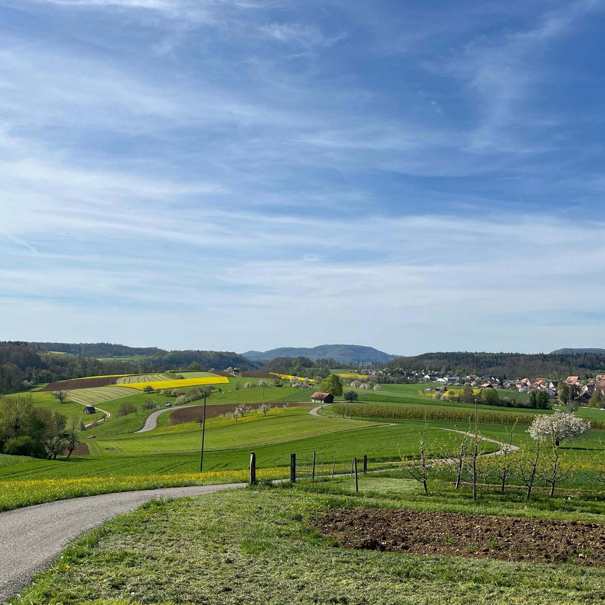
Road cycling routes around Wenslingen are characterized by the diverse topography of the Basel-Landschaft canton, featuring a blend of rolling hills, verdant forests, and expansive meadows. The region offers varied terrain, from moderately hilly sections to more challenging climbs, catering to different cycling preferences. Cyclists can expect routes that wind through picturesque natural settings, often leading to panoramic viewpoints. The landscape provides a mix of elevation gains and scenic stretches for road cyclists.
Best road cycling routes around Wenslingen
- The most popular road cycling route is Liestal–Bubendorf Cycle Route – Liestal city gate loop from Gelterkinden, a 21.1 miles (34.0 km) trail that takes 1 hour 32 minutes to complete. This route offers a moderate ride through the local landscape.
- Another top favourite among local road cyclists is Wasserturmplatz, Liestal – Liestal City Gate (Törli) loop from Diepflingen, a moderate 36.3 miles (58.5 km) path. This route provides extensive views and varied terrain typical of the Basel-Landschaft area.
- Local road cyclists also love the Rheinfelden Old Town – Rheinfelden–Magden Cycle Path loop from Gelterkinden, a 23.9 miles (38.6 km) trail leading through valleys and past historic towns, often completed in about 1 hour 55 minutes.
- Road cycling around Wenslingen is defined by rolling hills, verdant forests, and panoramic viewpoints. The network offers options for different ability levels, from moderate rides to more challenging climbs.
- The routes in Wenslingen are highly rated by the komoot community with an average score of 4.7 stars from nearly 400 reviews. More than 7000 road cyclists have used komoot to explore Wenslingen's varied terrain.
Last updated: July 10, 2026
4.9
(17)
259
riders
Moderate road ride. Good fitness required. Mostly well-paved surfaces and easy to ride.
4.6
(5)
188
riders
Moderate road ride. Good fitness required. Mostly well-paved surfaces and easy to ride.

Sign up for free
4.8
(9)
157
riders
Moderate road ride. Good fitness required. Some segments of this route may be unpaved and difficult to ride.
4.5
(6)
123
riders
Moderate road ride. Good fitness required. Mostly well-paved surfaces and easy to ride.
5.0
(4)
120
riders
40.3km
02:03
630m
630m
Moderate road ride. Good fitness required. Mostly well-paved surfaces and easy to ride.
Get access to more routes and recommendations from other explorers.
Sign up for free
Already have an account?
Our route recommendations are based on thousands of hikes, rides, and runs completed by other people on komoot.
Start today with a free account
Your next adventure awaits.
Login or Signup
Tips from the Community

The "Obere Tor" (also called Törli) is the landmark of Liestal and the rest of the medieval city fortification. The substructure was built in the first half of the 13th century, the subsequently added barbican had to make way in 1879 for traffic reasons. The tower has probably been painted since 1498/99, the current paintings are by local painter Otto Plattner from the years 1949/50 and show on the inside the Rütli oath and St. George the dragon slayer, on the outside Chronos and a warrior with a Swiss banner.
0
0


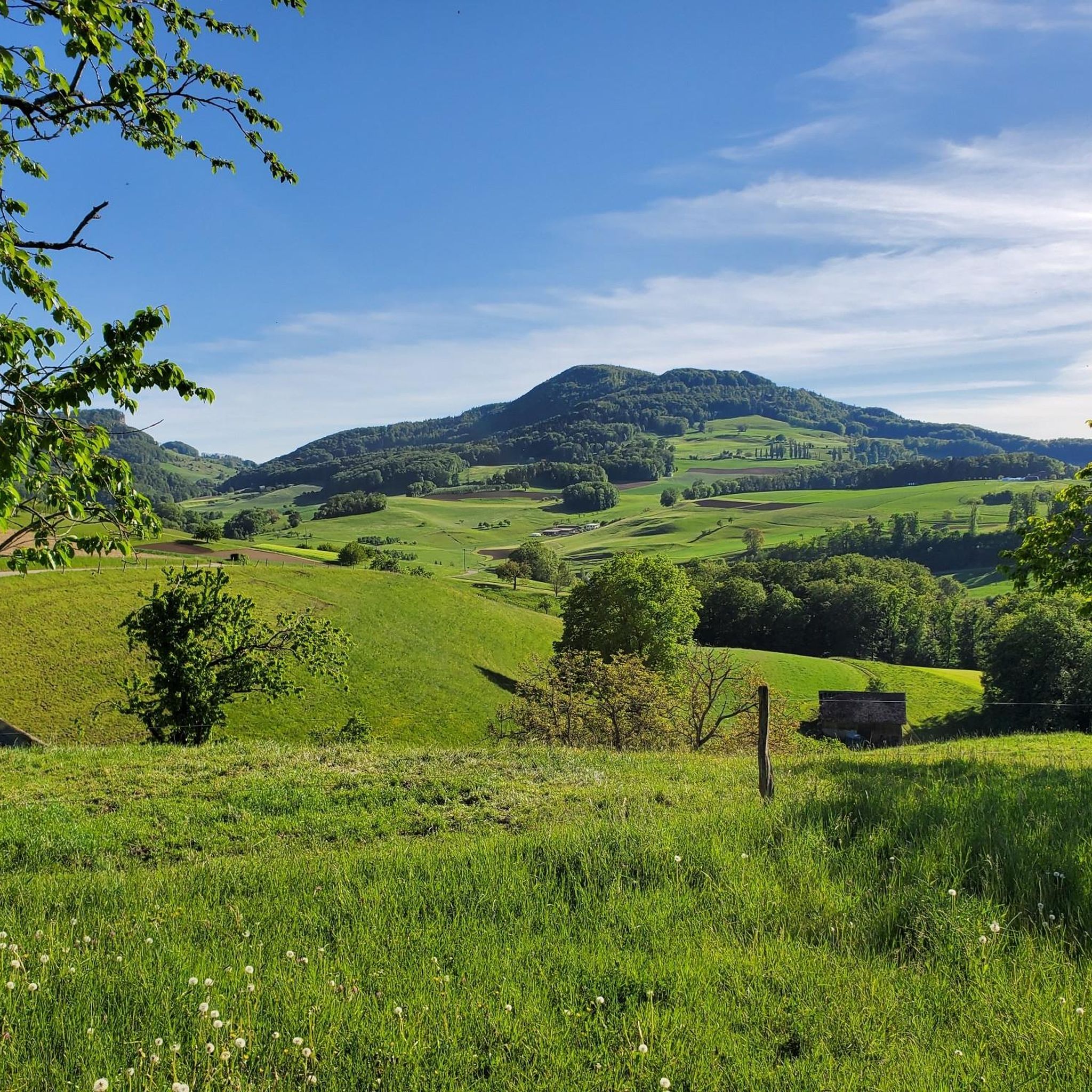
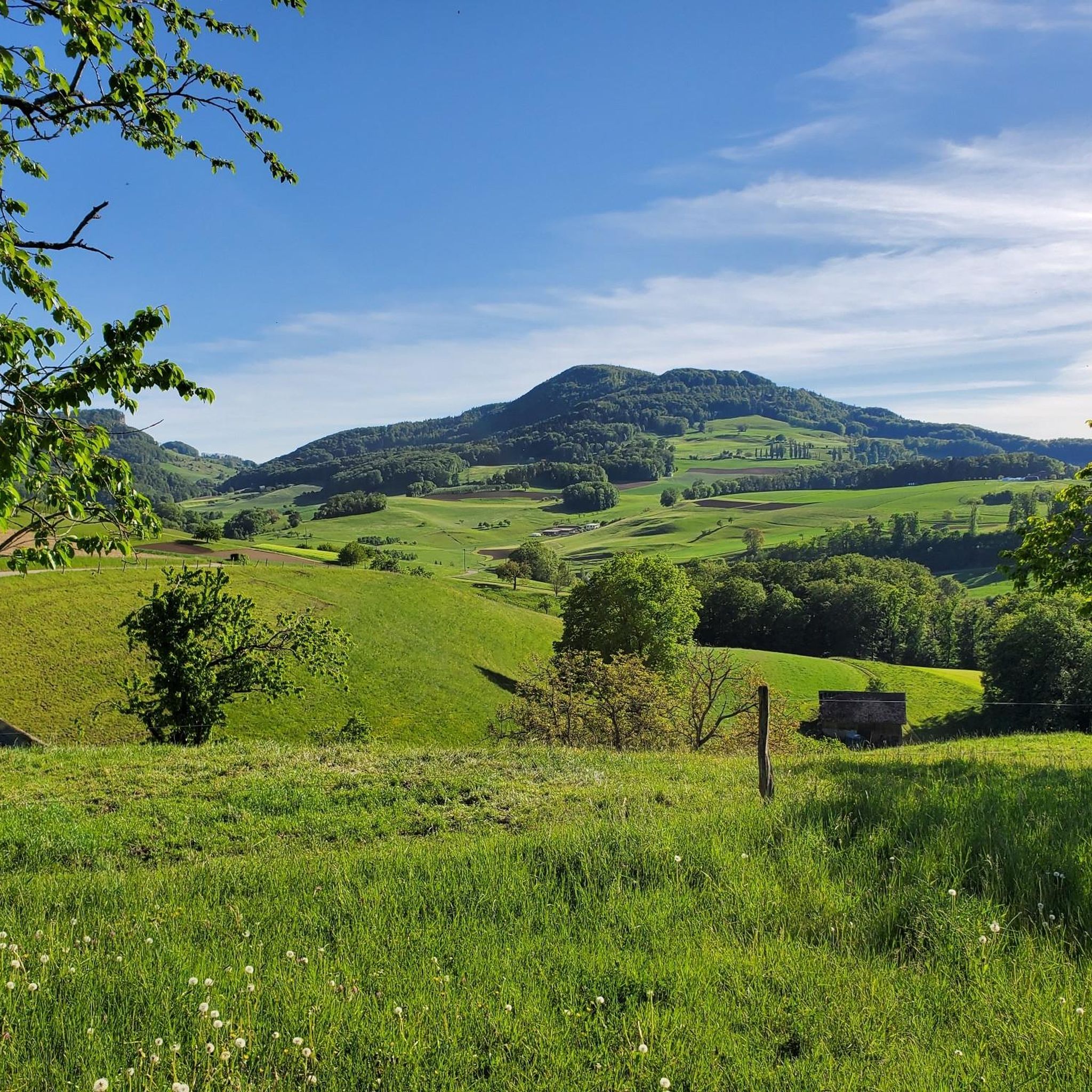
A beautiful, typical climb in the Jura Mountains
0
0

Historic Old Town Gate with drawings by Otto Plattner
0
0

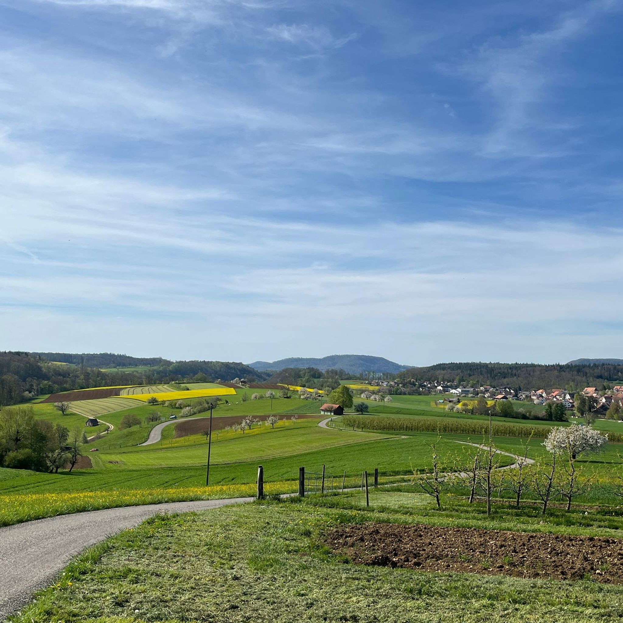
Wonderful Ragwanderweg in the Möhlinbachtal
0
0

Cycle path, away from traffic.
0
0


Obertorturm Rheinfelden The Obertorturm is considered the most important tower of the medieval city fortifications of Rheinfelden. Strangely, its tower clock does not strike on the hour Defensive tower of the city fortifications. In Rheinfelden there are not only sights, but also hearing attractions. One of these is the Obertor. The tower clock bell strikes the upcoming full hour - for example 12 noon - even though it is only 11:53 a.m. and the hands show this correctly. But this is not the clockmaker's fault. The bell strikes too early on purpose. It is said that this was once introduced as a service for the farmers who worked in the fields outside the city walls. In the evening the city gates were locked, and anyone who had not reached the city by the time the gates closed had to spend the night outside. Text / Source: Tourism Rheinfelden, City Office, Rheinfelden https://www.tourismus-rheinfelden.ch/de/erleben/sehenswuerdigkeiten/obertorturm
14
0
Frequently Asked Questions
What kind of terrain can I expect on road cycling routes around Wenslingen?
Road cycling around Wenslingen is characterized by the diverse topography of the Basel-Landschaft canton. You'll encounter a blend of rolling hills, verdant forests, and expansive meadows. The routes offer varied terrain, from moderately hilly sections to more challenging climbs, ensuring options for different fitness levels.
How many road cycling routes are there in Wenslingen and what are their difficulty levels?
There are over 70 road cycling routes available around Wenslingen. These include 17 easy routes, 42 moderate routes, and 14 difficult routes, catering to a wide range of cycling abilities.
Are there any challenging climbs for experienced road cyclists in the Wenslingen area?
Yes, for those seeking a challenge, the region offers specific climbs. A notable local feature is the 'Asp from Wenslingen' climb, which presents an average gradient of 5% over 1.2 km, with some sections reaching 10.1%.
What scenic viewpoints can I discover along the road cycling routes near Wenslingen?
Cyclists in and around Wenslingen are frequently rewarded with breathtaking views. You can find panoramic vistas from locations like Wasserflue, which offers views of the Swiss Alps and the Black Forest. The Wisenberg Observation Tower provides a 360-degree panorama, and Geissflue boasts ingenious views of the Baden region, Alsace, and the Basel area.
Are there any loop road cycling routes available from Wenslingen?
Yes, many routes around Wenslingen are designed as loops. For example, the Liestal–Bubendorf Cycle Route – Liestal city gate loop from Gelterkinden is a moderate 34 km ride. Another option is the Wasserturmplatz, Liestal – Liestal City Gate (Törli) loop from Diepflingen, which offers extensive views over 58.5 km.
What do other road cyclists say about the routes in Wenslingen?
The road cycling routes in Wenslingen are highly rated by the komoot community, with an average score of 4.7 stars from nearly 400 reviews. Over 7,000 road cyclists have used komoot to explore the varied terrain, often praising the picturesque natural settings and diverse elevation gains.
Are there any historical landmarks or natural monuments to see near the cycling routes?
Beyond the cycling routes, the region offers interesting landmarks. The remains of Ödenburg, a 12th-century castle, serve as a beautiful viewpoint. Nearby, the Jungfernstein is a table-like stone slab shrouded in legend, making for an interesting natural monument.
What is the typical length of road cycling routes around Wenslingen?
The routes vary in length to suit different preferences. For instance, the Liestal–Bubendorf Cycle Route – Liestal city gate loop from Gelterkinden is about 34 km, while the Wasserturmplatz, Liestal – Liestal City Gate (Törli) loop from Diepflingen extends to 58.5 km, providing options for shorter or longer rides.
Can I find routes that pass through valleys or along rivers in the Wenslingen area?
While Wenslingen itself is characterized by hills and forests, the broader Baselland region features idyllic rivers and charming valleys. Routes like the Rheinfelden Old Town – Rheinfelden–Magden Cycle Path loop from Gelterkinden lead through valleys and past historic towns, offering a different scenic dimension.
Are there any routes that offer a significant ascent and descent for training?
Yes, for those looking for routes with substantial elevation changes, the Liestal–Bubendorf Cycle Route – Reigoldswil Ascent and Descent loop from Diepflingen is a moderate 58.2 km route with over 750 meters of elevation gain and descent, providing a good workout.
What kind of natural features will I encounter on the road cycling routes?
The routes frequently wind through extensive forested areas and open meadows, creating a picturesque and tranquil environment. Wenslingen has a significant portion of its area covered by forests, contributing to the natural beauty experienced along its roads.
Most popular routes around Wenslingen
Most popular attractions around Wenslingen

Get inspired with the komoot mobile app


Explore more
Browse the best Road cycling routes in other regions.
