The best walks and hikes around Brampton
4.7
(305)
2,330
hikers
159
hikes
Hikes around Brampton explore the gentle countryside of Norfolk, characterized by river valleys and pastoral landscapes. The region's terrain is primarily flat, with routes following the River Bure through woodlands and past historic structures like watermills. These trails offer a network of paths suitable for various fitness levels, connecting small villages and areas of natural interest.
Best hiking trails around Brampton
- The most popular hiking route is Oxnead Hall and Gardens – Buxton Mill on the River Bure loop from…
Last updated: August 12, 2026
5.0
(12)
50
hikers
Easy hike. Great for any fitness level. Easily-accessible paths. Suitable for all skill levels.
4.0
(2)
20
hikers
Easy hike. Great for any fitness level. Easily-accessible paths. Suitable for all skill levels.

Sign up for free
4.5
(2)
15
hikers
Hard hike. Very good fitness required. Easily-accessible paths. Suitable for all skill levels.
5.0
(1)
5
hikers
Moderate hike. Good fitness required. Easily-accessible paths. Suitable for all skill levels.
13
hikers
3.55km
00:55
10m
20m
Easy hike. Great for any fitness level. Easily-accessible paths. Suitable for all skill levels.
Get access to more routes and recommendations from other explorers.
Sign up for free
Already have an account?
Our route recommendations are based on thousands of hikes, rides, and runs completed by other people on komoot.
Start today with a free account
Your next adventure awaits.
Login or Signup
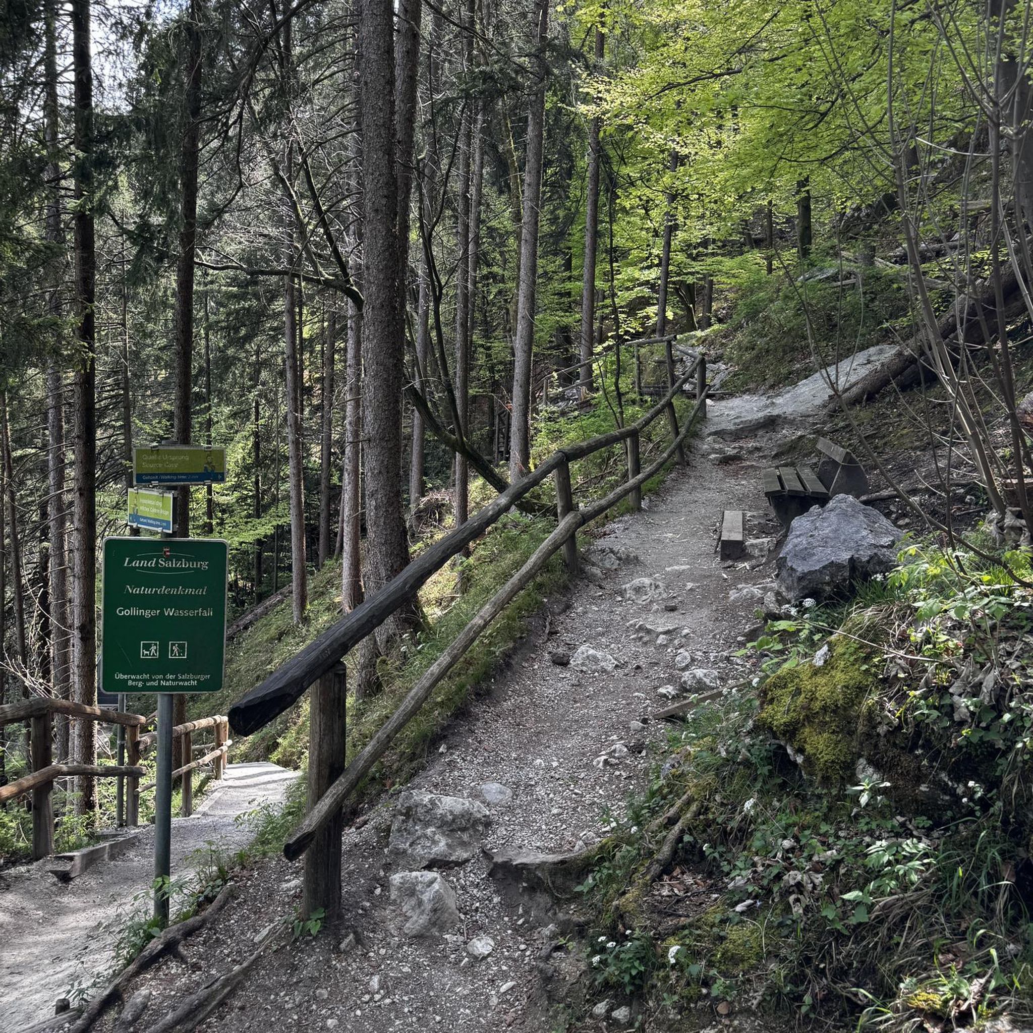
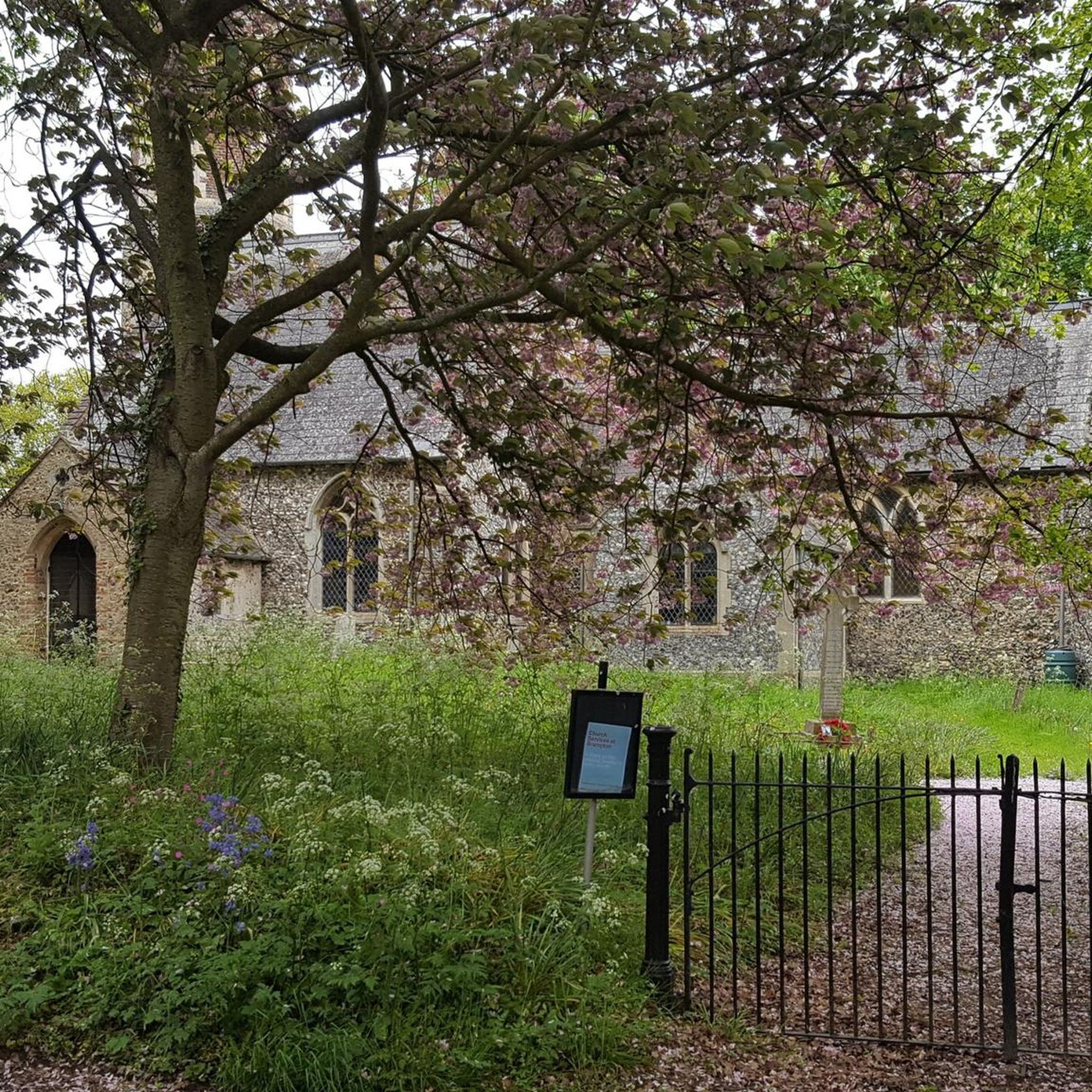
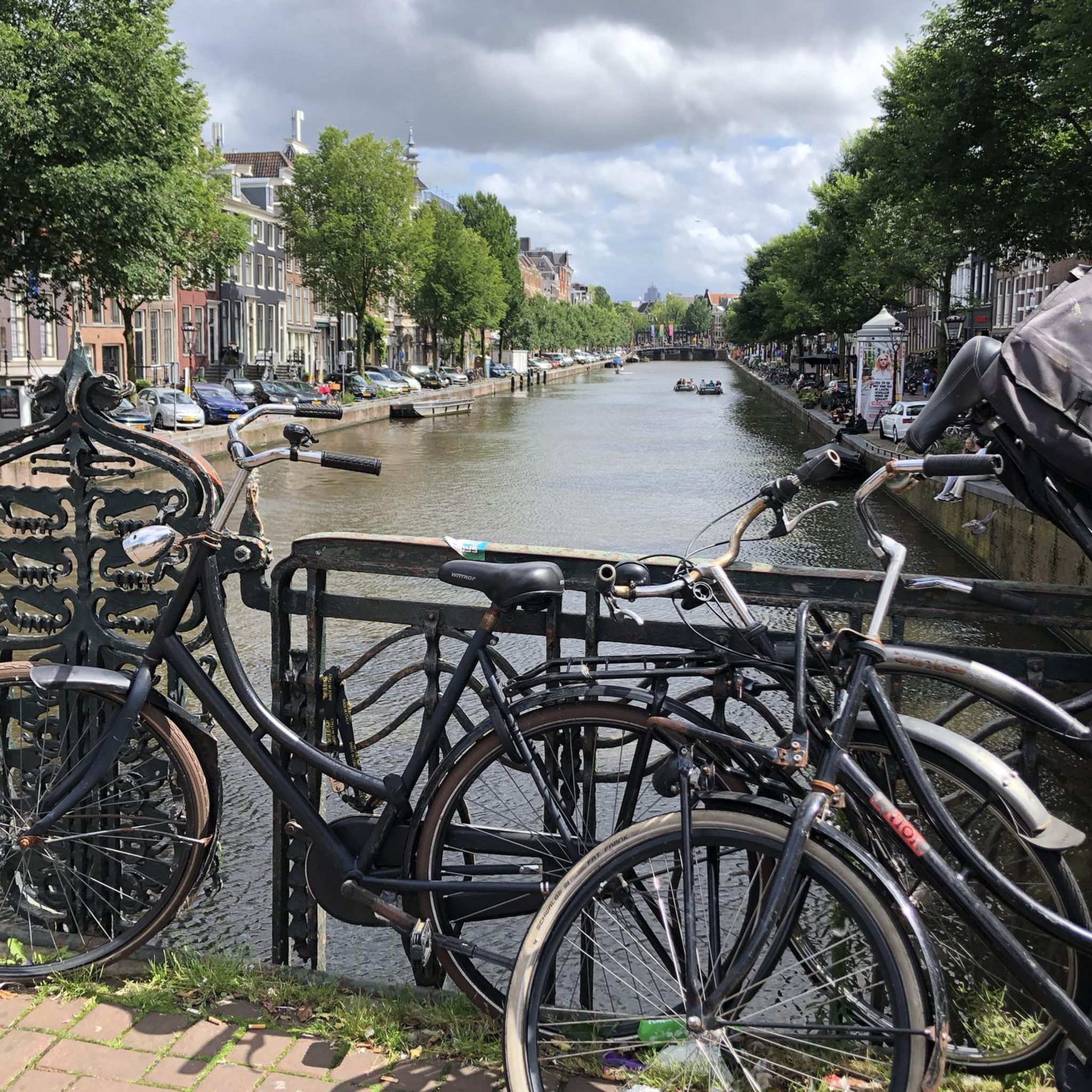
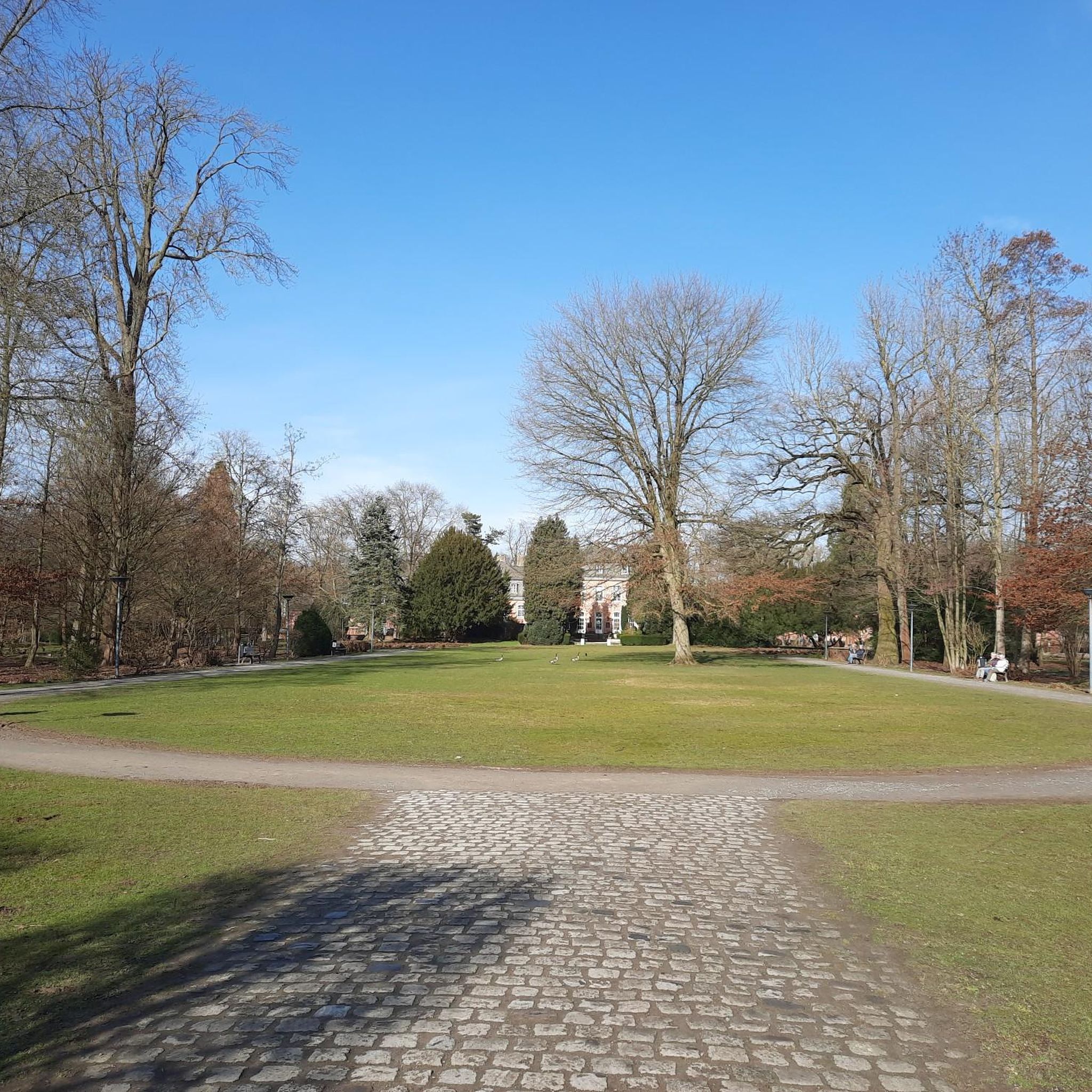
Tips from the Community

Beautiful spot on the river, with lots of people fishing and enjoying the grassland, with nearby pubs.
0
0

Be aware, during the summer this route can become very overgrown! Shoulder height nettles and brambles taking over the path mean it's very slow going in places and faster if you bring secateurs. Usually this is a very easy stroll, but wear trousers rather than shorts if visiting at peak plant growth time
0
0
Bench here is a good out of the way spot to stop and snack along the journey - sits between single file path section, and "no picnics allowed" private land with permissive path section
0
0

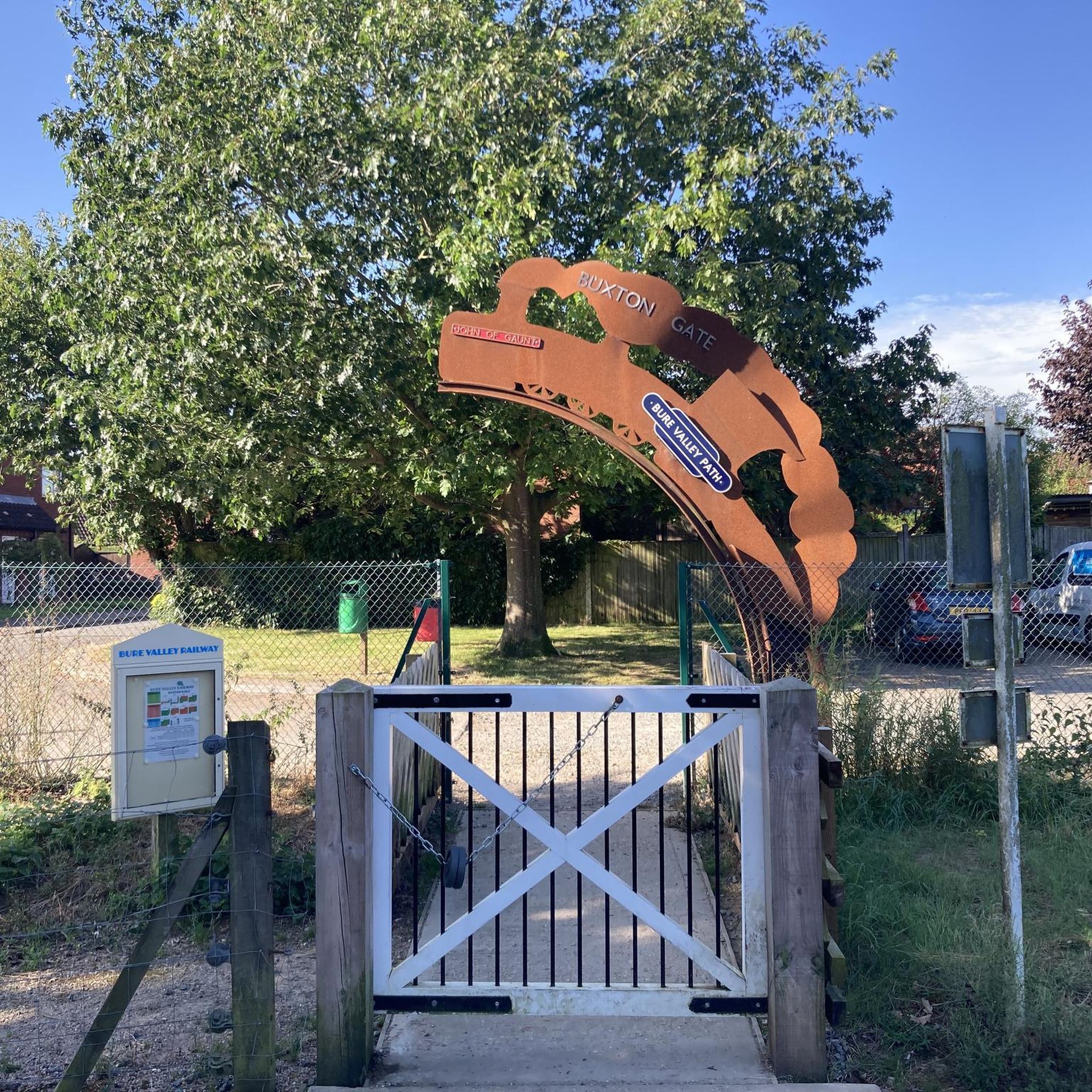
The Bure Valley Railway is a heritage railway offering a nostalgic trip by steam on Norfolk’s longest narrow gauge railway, between the historic market town of Aylsham and bustling town of Wroxham, at the heart of the Norfolk Broads. The Whistlestop Café on the station is open to visitors who aren't planning a train ride. The one-way journey to Wroxham takes about 45 minutes.
0
0

A main Norfolk River with footpaths along much of it meaning great opportunity for walks by the water that are nivable most of the year. This particular section in Coltishall has two pubs and a large grass area for relaxing in the warmer months.
0
0
Really nice town with pubs by the river and walsk both ways along the river. Can be busy in the Summer months but with multiple Pubs, restaurants and cafes and a village shop there should be room somewhere.
0
0

A charming village at the start of the navigable part of the River Bure, Coltishall is well located for exploring the Broads National Park. The Bure offers some tranquil riverside trails, while the Bure Valley Path allows walkers and cyclists to follow the heritage railway from Aylsham and Wroxham. The village has plenty of pubs, restaurants and cafes for the post hike refuel, as well as accommodation options.
0
0
One of the Norfolk Broads' three principal rivers, an amble along the Bure is usually a delight. Coltishall marks the head of the navigable section these days, so you can expect to see boats enjoying the water. Two major tributaries, the Ant and the Thurne join the Bure, before it empties into the sea at Gorleston.
0
0
Frequently Asked Questions
Are there any good circular walks in the Brampton area?
Yes, many trails in Brampton are loops, making for convenient hikes. For a shorter, easy walk that brings you back to your starting point, consider the Mayton Bridge – Buxton Mill on the River Bure loop from Buxton. It’s a pleasant walk of about 6.8 km through the local landscape.
What are the best places to hike in Brampton?
Brampton offers several highly-regarded natural spaces for hiking.
Heart Lake Conservation Area is a local favorite, known for its kettle lake and diverse trails through forests and meadows. It offers some of the best views in the area.
Claireville Conservation Area is another excellent choice, a vast park with a mix of forests, grasslands, and wetlands along the Humber River, providing a true sense of escape from the city.
Are there any easy hikes suitable for beginners or families?
Absolutely. The terrain around Brampton is generally flat, making it great for all skill levels. The paved, 9-kilometer Chinguacousy Recreational Trail is a popular family-friendly option that connects several parks. For a longer but still accessible outing, the Buxton Mill on the River Bure – Oxnead Hall and Gardens loop from Buxton is a moderate 17.7 km route that explores the countryside.
Can I take my dog on the hiking trails?
Most conservation areas and public trails in and around Brampton, such as those in Claireville Conservation Area and Heart Lake Conservation Area, are dog-friendly. However, regulations typically require dogs to be on a leash at all times. It's always a good practice to check the specific park's rules before you go.
Are there any long-distance hiking trails near Brampton?
Yes, for those seeking a full-day challenge, the Etobicoke Creek Recreational Trail is an impressive 34.5-kilometer path connecting Brampton with neighbouring communities. It follows the creek through a mix of urban forests and wildflower fields, offering long, peaceful stretches. Another substantial option is the River Bure at Coltishall – River Views Near Horstead loop from Brampton, a 24 km hike.
What is the terrain like on Brampton's hiking trails?
The hiking around Brampton is characterized by gentle, relatively flat terrain. Most routes follow river valleys, particularly the River Bure and Etobicoke Creek, and pass through a mix of woodlands, pastoral landscapes, and meadows. You'll also find paved recreational paths and gravel trails within the conservation areas.
Are there any trails with waterfalls in the Brampton area?
While the immediate Brampton area is known more for its rivers and wetlands than waterfalls, a short drive can take you to some beautiful sights. Smokey Hollow Waterfall, located in nearby Waterdown, is a popular destination featuring a 10-meter cascade in a forested setting with a viewing platform and surrounding trails.
What do other hikers say about the trails around Brampton?
The trails in this region are highly rated by the komoot community, with an average score of 4.8 stars. Hikers often praise the serene riverside paths, the well-maintained trails through quiet woodlands, and the abundance of wildlife, especially along the Etobicoke Creek and in the Claireville Conservation Area.
How many hiking trails are available around Brampton?
There is a wide variety of options, with over 160 designated hiking routes to explore in and around Brampton. These range from short, easy loops perfect for an afternoon stroll to long-distance paths suitable for a full day of hiking.
What are some key features of the trails at Heart Lake Conservation Area?
The trails at Heart Lake are known for their variety and scenic views. You can hike up hills for panoramic vistas, follow wooden boardwalks across marshes, and explore dense forests. The park is a remnant of glacial activity, featuring a unique heart-shaped kettle lake and the Brampton Esker, a winding ridge of sand and gravel.
Are there other activities besides hiking at the conservation areas?
Yes, many of the conservation areas offer more than just hiking. Heart Lake Conservation Area is a hub for recreation, offering fishing, boat rentals, a splash pad, and even an aerial adventure course with zip lines called Treetop Trekking. Claireville Conservation Area is a prime spot for bird-watching and wildlife photography.
Most popular attractions around Brampton

Get inspired with the komoot mobile app


Explore more
Browse the best Hikes in other regions.
