Weißenstadter Forst-Süd
Weißenstadter Forst-Süd
The best walks and hikes around Weißenstadter Forst-Süd
4.5
(3124)
11,718
hikers
25
hikes
Hiking around Weißenstadter Forst-Süd offers diverse landscapes within the Fichtelgebirge Nature Park. The region features extensive mountain forests, including spruce, beech, and sycamore trees, alongside notable granite formations. Hikers encounter varied terrain, from the shores of Weißenstädter See to the higher elevations of Großer Waldstein and Kösseine. The area is characterized by its natural springs and the headwaters of rivers like the White Main.
Best hiking trails around Weißenstadter Forst-Süd
- The most popular hiking route is Rocky Forest Trail –…
Last updated: October 20, 2026
4.8
(30)
115
hikers
Moderate hike. Good fitness required. Easily-accessible paths. Suitable for all skill levels.
4.6
(8)
23
hikers
4.37km
01:14
90m
90m
Easy hike. Great for any fitness level. Easily-accessible paths. Suitable for all skill levels.

3.0
(1)
13
hikers
7.64km
02:13
200m
200m
Moderate hike. Good fitness required. Easily-accessible paths. Suitable for all skill levels.
5.0
(5)
15
hikers
11.9km
03:29
330m
330m
Moderate hike. Good fitness required. Easily-accessible paths. Suitable for all skill levels.
5.0
(4)
13
hikers
11.7km
03:18
240m
240m
Moderate hike. Good fitness required. Easily-accessible paths. Suitable for all skill levels.
Get access to more routes and recommendations from other explorers.
Already have an account?
Our route recommendations are based on thousands of hikes, rides, and runs completed by other people on komoot.
Start today with a free account
Your next adventure awaits.
Popular around Weißenstadter Forst-Süd
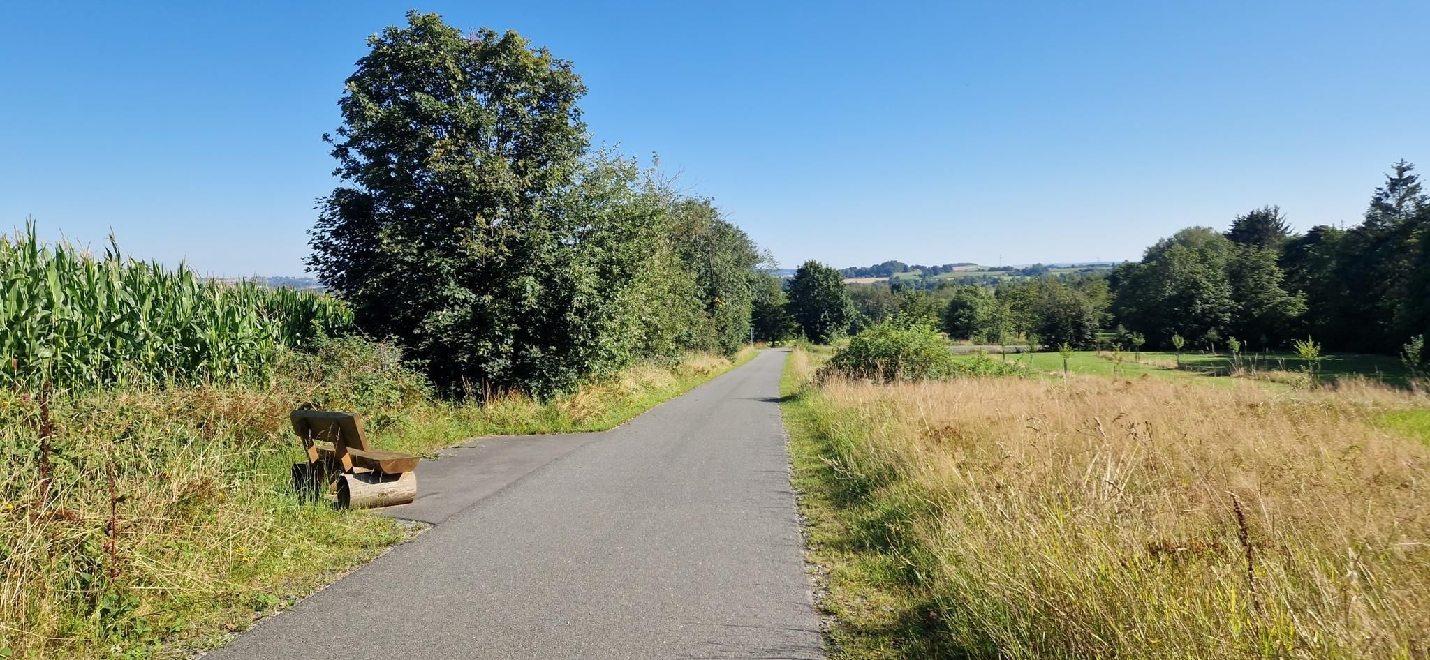
Entdecke die fränkische Vielfalt – Radregion Fichtelgebirge
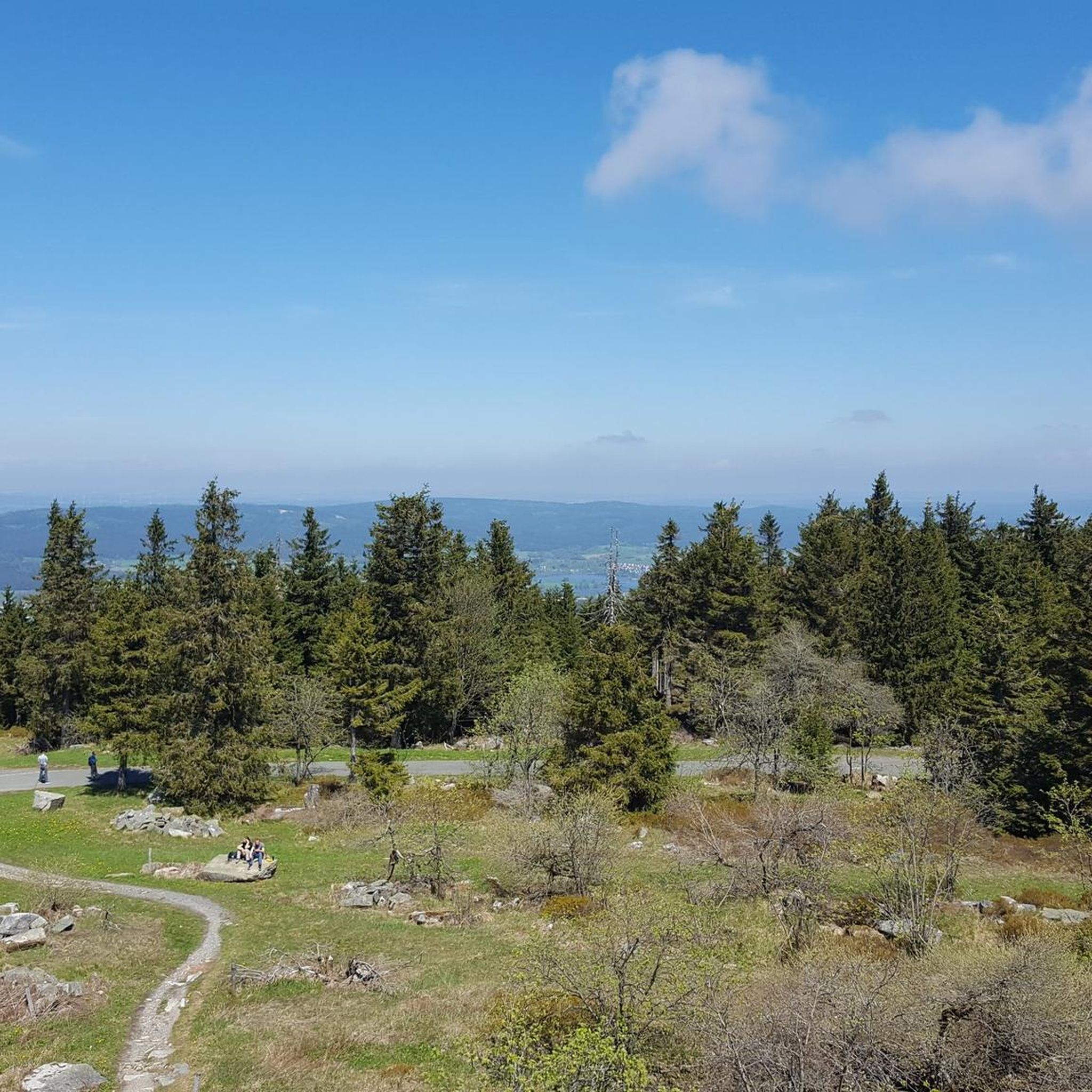
Cycling around Weißenstadter Forst-Süd
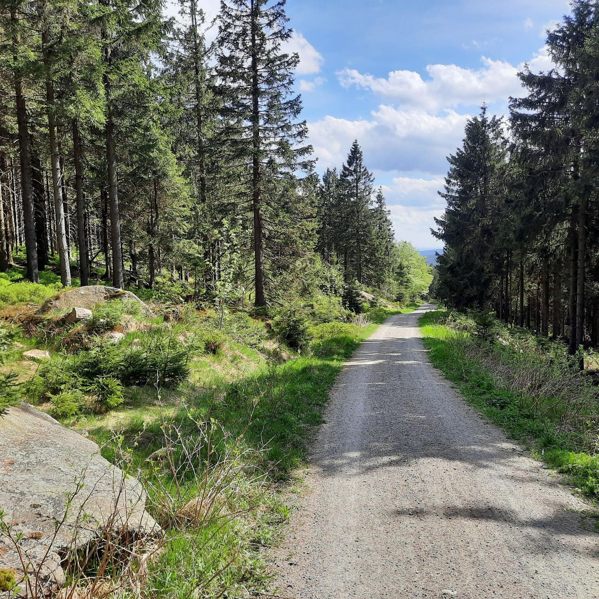
MTB Trails around Weißenstadter Forst-Süd
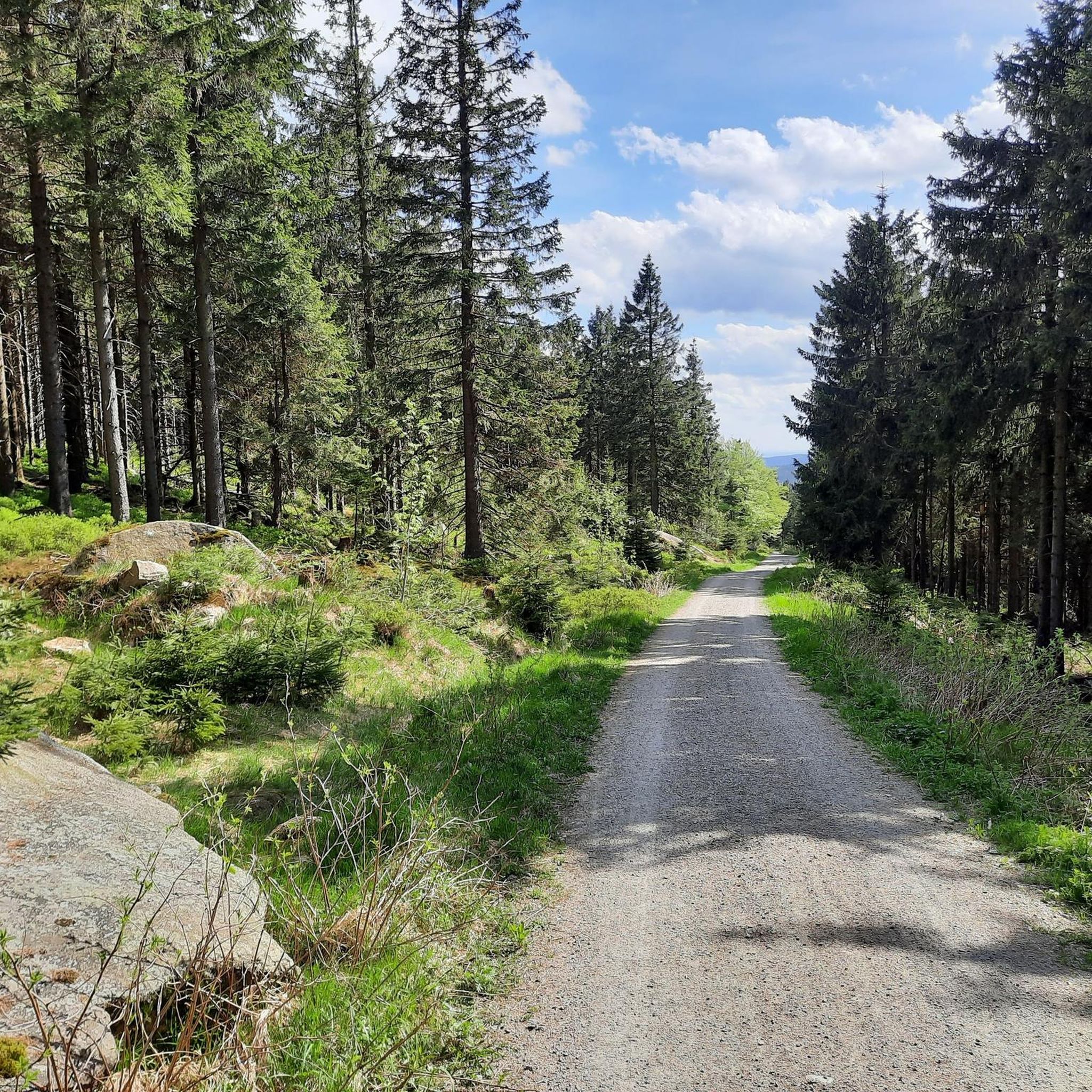
Road Cycling Routes around Weißenstadter Forst-Süd

Gravel biking around Weißenstadter Forst-Süd
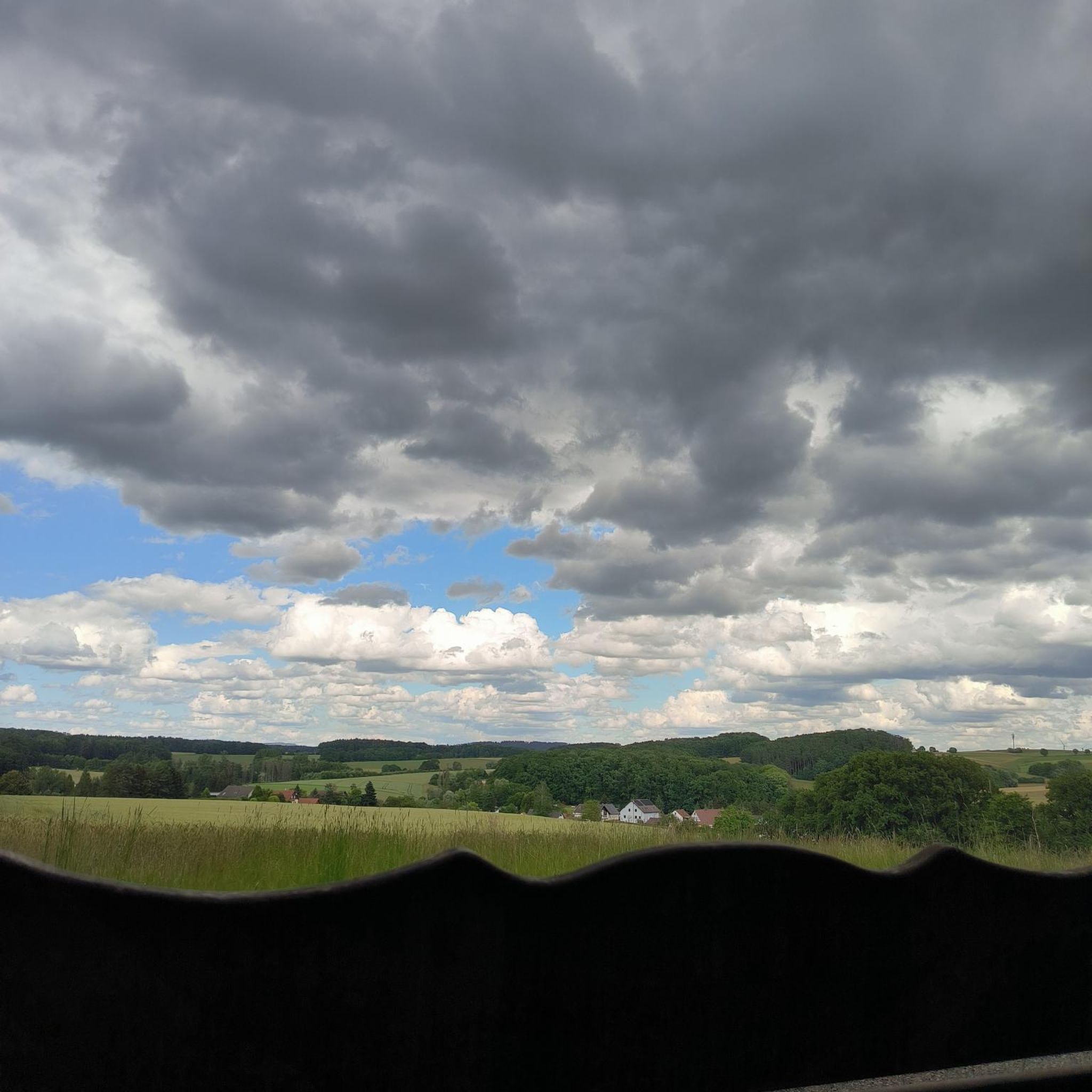
Running Trails around Weißenstadter Forst-Süd
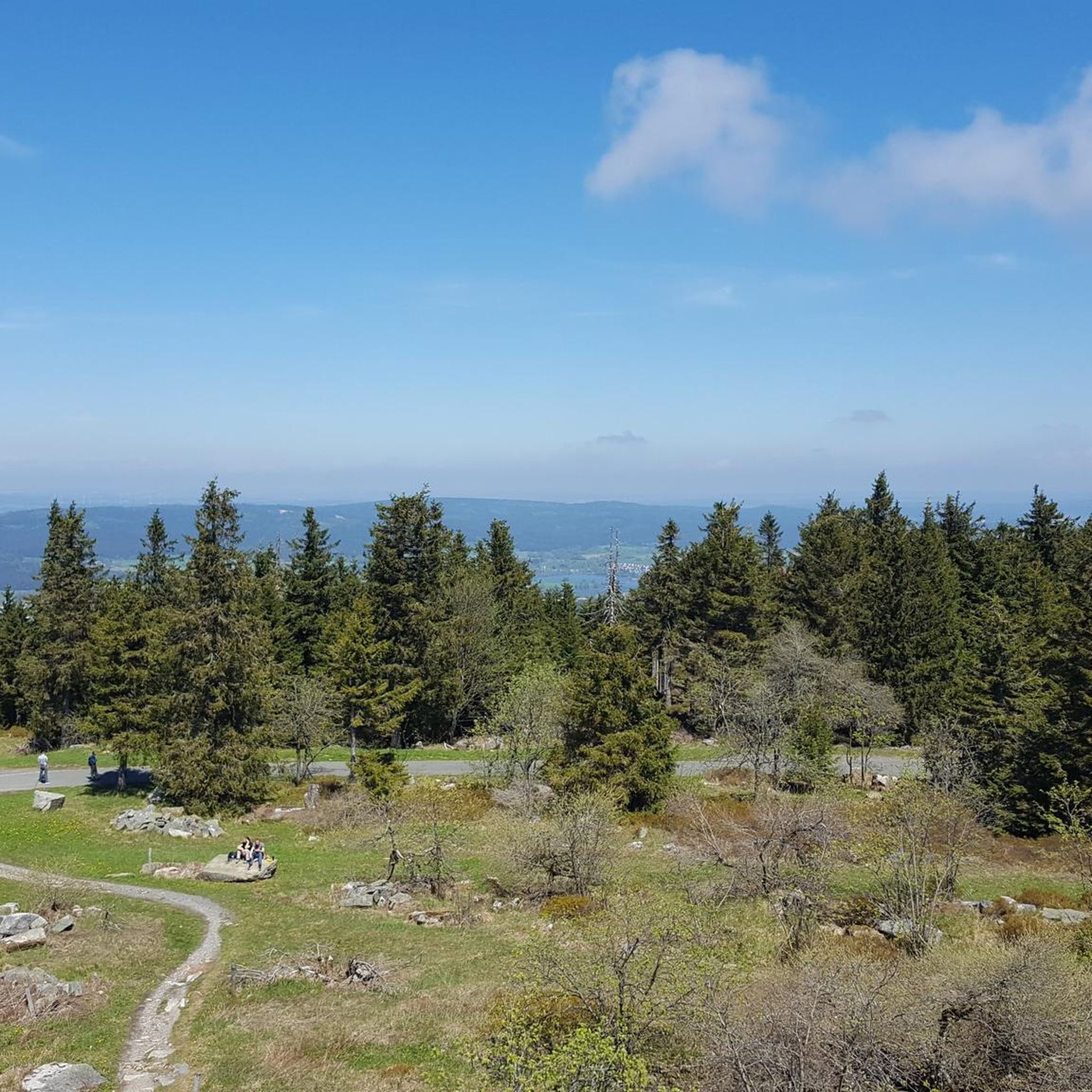
Mountain Hikes around Weißenstadter Forst-Süd
Other adventures around Weißenstadter Forst-Süd

Tips from the Community

Super beautiful viewpoint 🤩👍
3
0
The low mountain range town of Bischofsgrün, idyllically situated in the Upper Fichtelgebirge and framed by the two highest elevations in Northern Bavaria, the Schneeberg (1053m) and the Ochsenkopf (1024m), is an ideal holiday destination at any time of the year.
3
0
Beautiful marketplace in Bischofsgrün
2
0

Bischofsgrün is, so to speak, the "heart" of the Fichtel Mountains – a state-recognized health resort nestled in the valley between the two highest peaks in Northern Bavaria, the Ochsenkopf (1024 m) and the Schneeberg (1051 m). Bischofsgrün is the ideal starting point for almost any outdoor activity: The modern Ochsenkopf North Cable Car takes you to the summit year-round. In summer, the Alpine Coaster (a year-round toboggan run), the climbing park, and downhill trails beckon. In winter, the town is a hotspot for downhill and cross-country skiing. The region boasts a vast network of hiking trails, including the famous Franconian Mountain Trail.
5
0


Good weather. Wear good shoes 👟.
0
0
Frequently Asked Questions
How many hiking trails are available in Weißenstadter Forst-Süd?
The Weißenstadter Forst-Süd area offers a wide selection of hiking opportunities, with over 25 distinct trails. These range from easy strolls to more challenging moderate treks, ensuring options for various fitness levels.
What types of landscapes can I expect to see while hiking here?
Hikers in Weißenstadter Forst-Süd will experience diverse landscapes, including extensive mountain forests of spruce, beech, and sycamore trees. The region is also known for its unique granite formations, such as the impressive 'Three Brothers' rocks, and features natural springs and the headwaters of rivers like the White Main.
Are there any easy, family-friendly walks in Weißenstadter Forst-Süd?
Yes, there are several easy trails suitable for families. For instance, the Eger Spring – Egerquellen Trail loop from Bischofsgrüner Forst is an easy 2.7-mile (4.4 km) path leading to the serene Eger Spring. Additionally, the 'Path of Life' along Weißenstädter See offers an accessible experience with educational points about local flora and fauna.
What are some notable natural attractions or viewpoints in the area?
The region boasts several significant natural attractions. You can find breathtaking panoramic views from the Asenturm on the Ochsenkopf or explore the massive granite formations known as 'Die drei Brüder' (The Three Brothers), which are considered one of Bavaria's most beautiful geotopes. The Großer Waldstein also offers stunning vistas from its summit.
Can I find any waterfalls along the hiking routes?
Yes, the area around Weißenstadter Forst-Süd features several picturesque waterfalls. You can discover the Eger Waterfall (Egerwasserfall) in the Thuswald, the Thus Waterfall (Thusfall) on the Eger, and the Grassemannsbachtal Waterfalls, among others.
What is the best time of year to go hiking in Weißenstadter Forst-Süd?
Spring and autumn are particularly recommended for hiking in Weißenstadter Forst-Süd. During these seasons, the weather is mild, and the natural surroundings offer vibrant displays, from blooming flora in spring to colorful foliage in autumn.
Are there any longer, more challenging hiking options?
For those seeking a longer challenge, the Eger Spring – Jesus Fountain loop from Bischofsgrüner Forst is a moderate 9.2-mile (14.8 km) trail that typically takes around 4 hours to complete, leading through varied forest terrain. Many routes also involve significant elevation changes, such as those leading to the summits of Großer Waldstein or Kösseine.
Are dogs allowed on the hiking trails?
As part of the Fichtelgebirge Nature Park, dogs are generally welcome on the hiking trails. However, it's always advisable to keep them on a leash, especially in areas with wildlife or near livestock, and to respect local regulations and other hikers.
What do other hikers enjoy most about the trails in Weißenstadter Forst-Süd?
The trails in Weißenstadter Forst-Süd are highly rated by the komoot community, with an average score of 4.6 stars from over 2,800 reviews. Hikers frequently praise the region's diverse terrain, the beauty of its extensive mountain forests, and the unique granite formations.
Are there any circular hiking routes available?
Yes, many of the hiking routes in Weißenstadter Forst-Süd are designed as circular loops, allowing you to start and end at the same point. An example is the popular Rocky Forest Trail – Three Brothers Rocks loop from Bischofsgrüner Forst, which covers 6.2 miles (10.0 km).
Where does the White Main river originate in this region?
The White Main river, an important waterway, originates from the eastern slope of the Ochsenkopf mountain, which is a prominent feature within the Fichtelgebirge Nature Park and accessible via various hiking trails.
Most popular routes around Weißenstadter Forst-Süd
Most popular attractions around Weißenstadter Forst-Süd

Get inspired with the komoot mobile app


Explore more
Browse the best Hikes in other regions.
