The best road cycling routes around Weißdorf
4.8
(242)
2,171
riders
166
rides
Road cycling routes around Weißdorf are situated in Upper Franconia, Bavaria, offering diverse terrain at the northern edge of the Fichtelgebirge Nature Park and along the Saale River. This region features forested hills, picturesque valleys, and low mountain ranges, providing varied elevation for road cyclists. The landscape transitions from challenging ascents in the Fichtelgebirge to smoother rides along the Saale River, often on well-paved surfaces.
Best road cycling routes around Weißdorf
- The most popular road cycling route is Selbitz Railway…
Last updated: October 13, 2026
4.7
(14)
54
riders
44.8km
01:59
400m
400m
Moderate road ride. Good fitness required. Some segments of this route may be unpaved and difficult to ride.
4.0
(1)
34
riders
53.7km
02:18
440m
440m
Moderate road ride. Good fitness required. Mostly well-paved surfaces and easy to ride.

4.7
(3)
33
riders
Moderate road ride. Good fitness required. Some segments of this route may be unpaved and difficult to ride.
5.0
(4)
35
riders
41.8km
01:57
470m
470m
Moderate road ride. Good fitness required. Mostly well-paved surfaces and easy to ride.
4.3
(3)
26
riders
23.3km
01:06
220m
220m
Easy road ride. Great for any fitness level. Mostly well-paved surfaces and easy to ride.
Get access to more routes and recommendations from other explorers.
Already have an account?
Our route recommendations are based on thousands of hikes, rides, and runs completed by other people on komoot.
Start today with a free account
Your next adventure awaits.
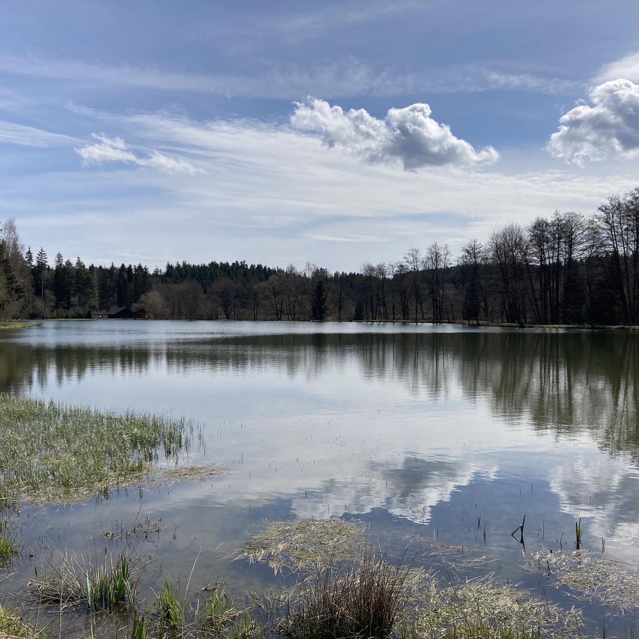
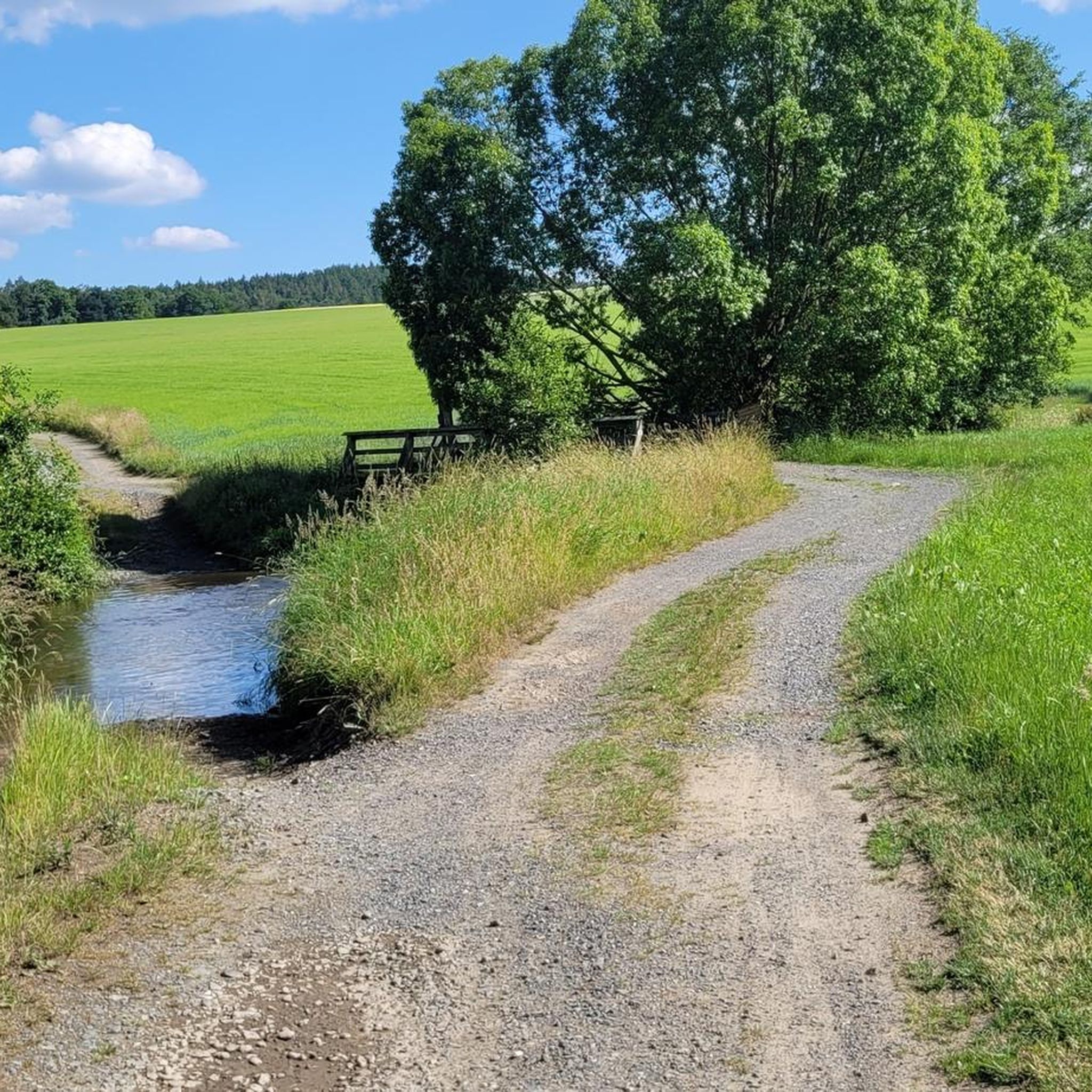
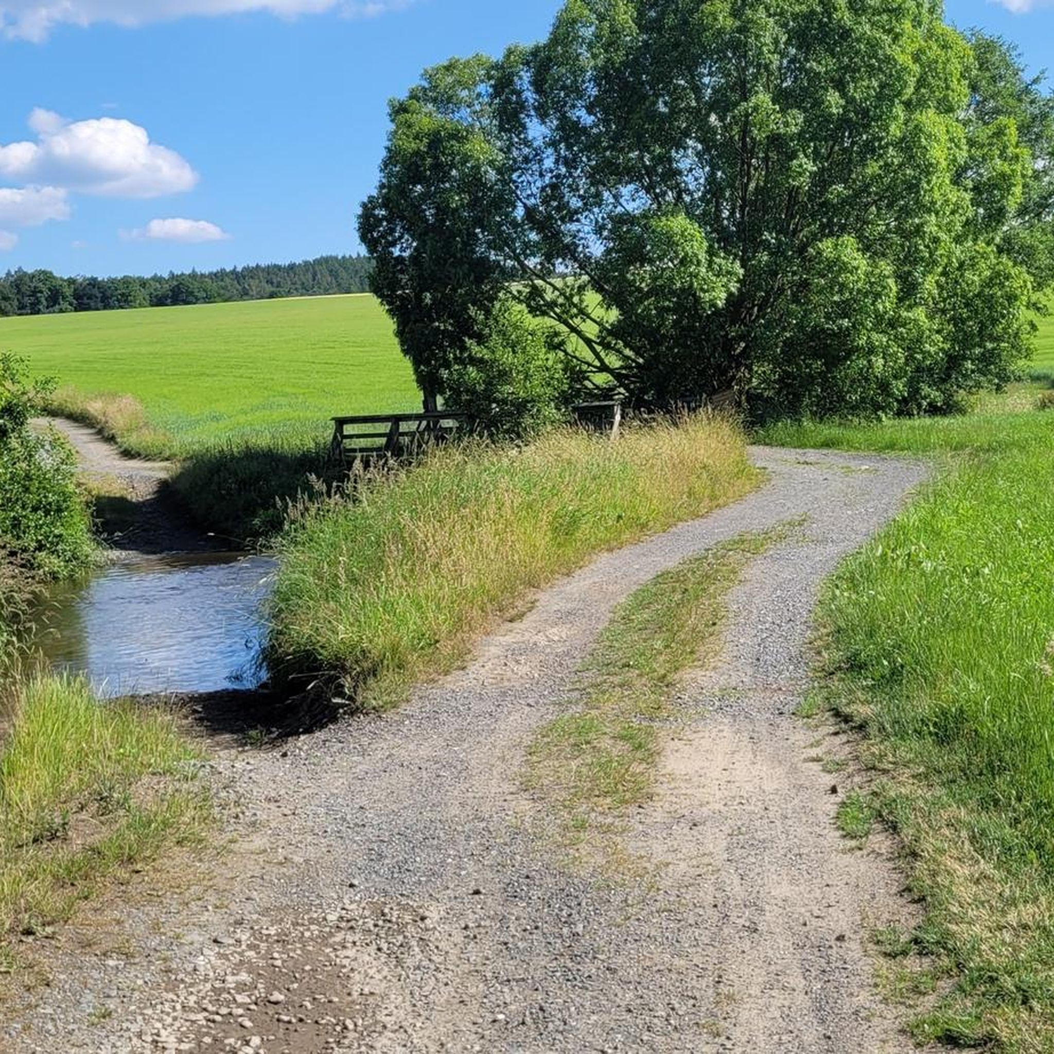
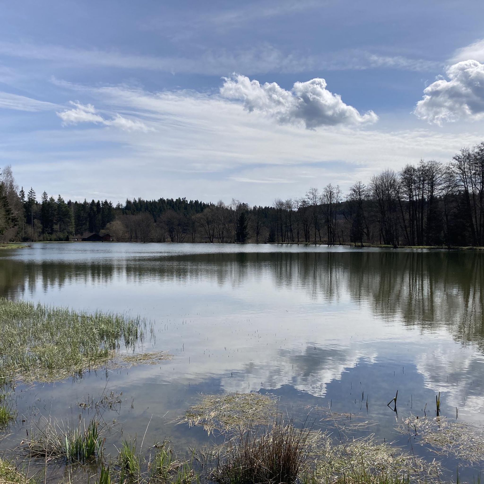
Tips from the Community

Dams are built to utilize water for hydropower plants, to keep the water level constant for fish or shipping, or to prevent floods.
1
0

Stone bridge in the center of Münchberg;
0
0

With Polznica, meaning creeping, slowly flowing water, the Slavs had once designated this stream. From this developed the current name Pulschnitz. The eleven-kilometer-long stream is a tributary of the Saxon Saale.
5
0
A church in Münchberg is mentioned in documents since 1388. It is probable that a place of worship already existed in the 12th century. After several fires, the remains of previous buildings were demolished in 1864, and in 1867 the foundation stone of the current church was laid. The building, erected by Karl Kaufmann as a Neo-Gothic sandstone block building with a seventy-meter-high tower, is the seventh place of worship at this location. In 1931, the Neo-Gothic altar was purchased, a replica of a work by Veit Stoß.
6
0

Wonderful bike path and a very nice place.
0
0
This small park has a covered rest area, and there are also several information boards with maps and tips for worthwhile hikes in the Frankenwald. A sign with a bicycle on it welcomes visitors.
12
0

Nice beer garden, delicious food
0
0

Frequently Asked Questions
How many road cycling routes are available around Weißdorf?
There are over 170 road cycling routes available around Weißdorf, offering a wide range of options for different skill levels and preferences.
What kind of terrain can I expect when road cycling in Weißdorf?
Road cycling around Weißdorf offers a diverse landscape. You'll find challenging ascents and descents in the forested hills of the Fichtelgebirge Nature Park, as well as smoother, more relaxed rides along the Saale River Valley. The routes are predominantly on well-paved surfaces, suitable for road bikes.
Are there road cycling routes suitable for beginners or those looking for an easier ride?
Yes, Weißdorf offers several easier road cycling routes. For instance, the Reinersreuth–Zell Cycle Path – Saaleradweg Cycle Path loop from Münchberg is an easy option that covers 14.4 miles (23.2 km) with moderate elevation changes, perfect for a relaxed ride.
What are some notable landmarks or natural features I can see along the road cycling routes?
Many routes offer scenic views and pass by interesting landmarks. You can see the Great Waldstein, the Rudolfstein Rock Formation, and the Waldsteinburg (Red Castle). Some routes also provide views of the Förmitz Reservoir, adding a scenic water element to your ride.
What do other road cyclists enjoy most about cycling in Weißdorf?
The area is highly rated by the komoot community, with an average score of 4.7 stars from over 200 reviews. Cyclists often praise the varied terrain, which allows for both challenging climbs and relaxed rides, as well as the scenic beauty of the Fichtelgebirge and Saale River Valley.
Are there any circular road cycling routes around Weißdorf?
Yes, many of the road cycling routes around Weißdorf are designed as loops. For example, the Selbitz Railway Arch Bridge – Selbitztal Cycle Path loop from Münchberg is a popular moderate circular route covering 28.7 miles (46.3 km).
What is the best time of year for road cycling in Weißdorf?
The spring, summer, and autumn months generally offer the most favorable conditions for road cycling in Weißdorf. During these seasons, the weather is typically mild, and the natural landscapes are at their most vibrant, providing an ideal backdrop for your rides.
Are there any challenging road cycling routes for experienced riders?
Yes, the Fichtelgebirge Nature Park provides routes with significant elevation gains for experienced cyclists. While specific 'difficult' routes are available, a good example of a longer, more demanding moderate route is the Selbitz Railway Arch Bridge – Höllensprudel Spring House loop from Münchberg, which covers 45.4 miles (73.1 km) with over 760 meters of ascent.
Can I find cafes or restaurants along the road cycling routes in Weißdorf?
The Saale Cycle Path, which begins near Weißdorf, is known for passing through tranquil villages. While specific establishments are not listed, these villages often offer opportunities for refreshments. It's advisable to check local listings for cafes and restaurants in towns along your chosen route.
What are the options for parking if I bring my bike by car to Weißdorf?
Weißdorf and surrounding towns typically offer parking facilities. For specific routes, it's recommended to check the starting points for available parking options. Many routes begin in towns like Münchberg, which would have public parking.
Is public transport available for cyclists in Weißdorf and the surrounding area?
Public transport options, including train and bus services, are available in the region. For information on transporting bicycles on public transport, it's best to consult the local transport providers' websites or contact them directly for their specific policies and any associated fees.
Are there any routes that offer views of the Saale River?
Yes, Weißdorf is situated directly on the Saale River, and many routes incorporate its scenic valley. The Bridge Over the Saale – Hof Central Station loop from Münchberg is a great example, offering direct views of the Saale River as it passes through Hof.
Most popular routes around Weißdorf
Most popular attractions around Weißdorf

Get inspired with the komoot mobile app


Explore more
Browse the best Road cycling routes in other regions.
