The best walks and hikes in Weimarer Land
4.6
(11327)
51,439
hikers
1,698
hikes
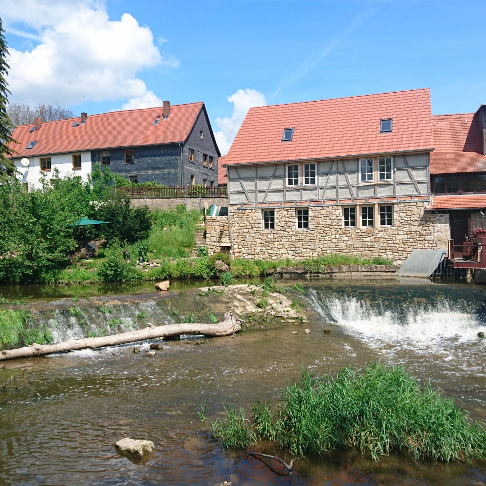
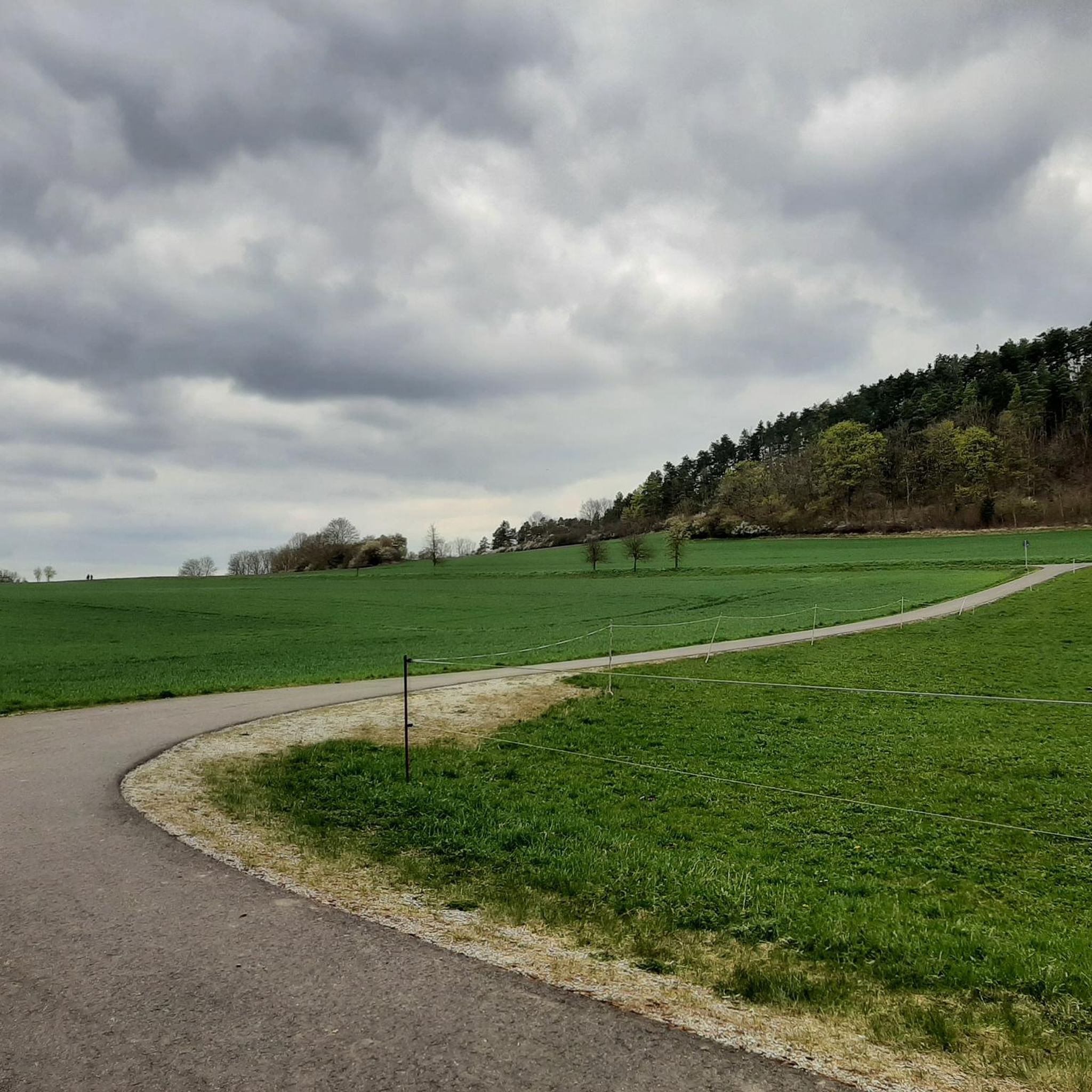
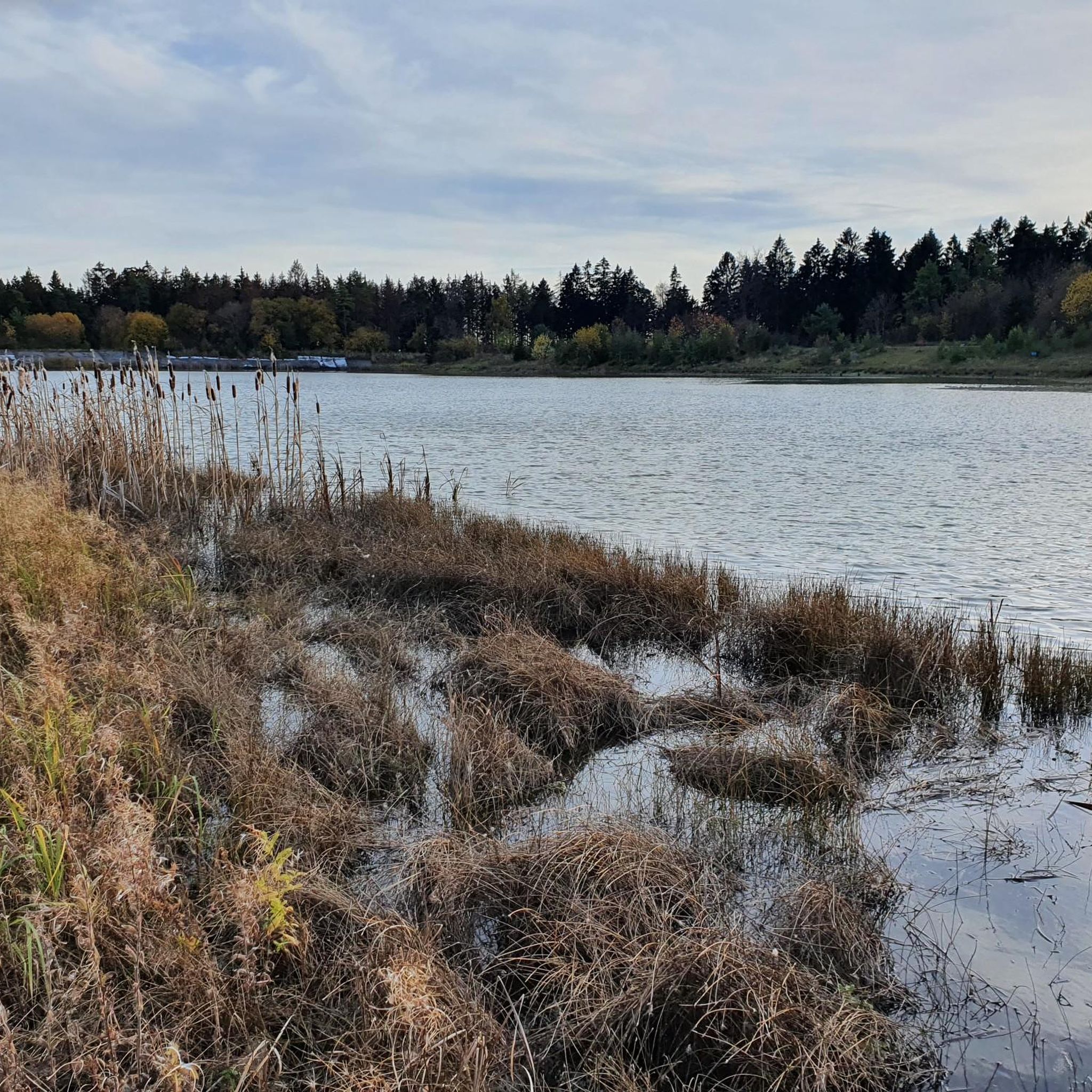
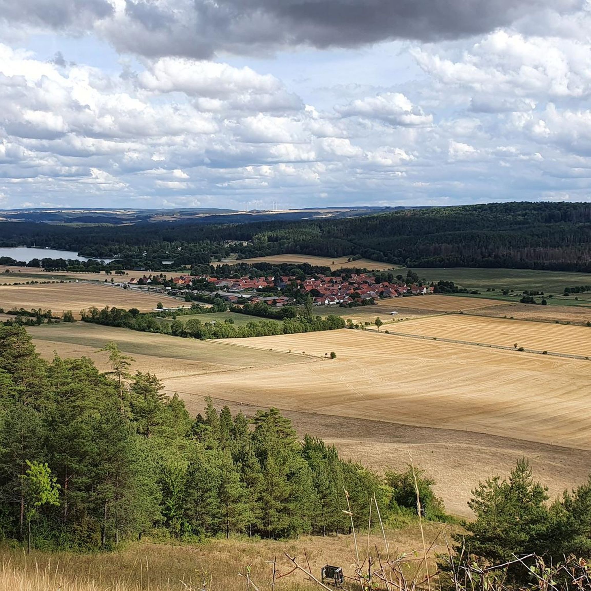
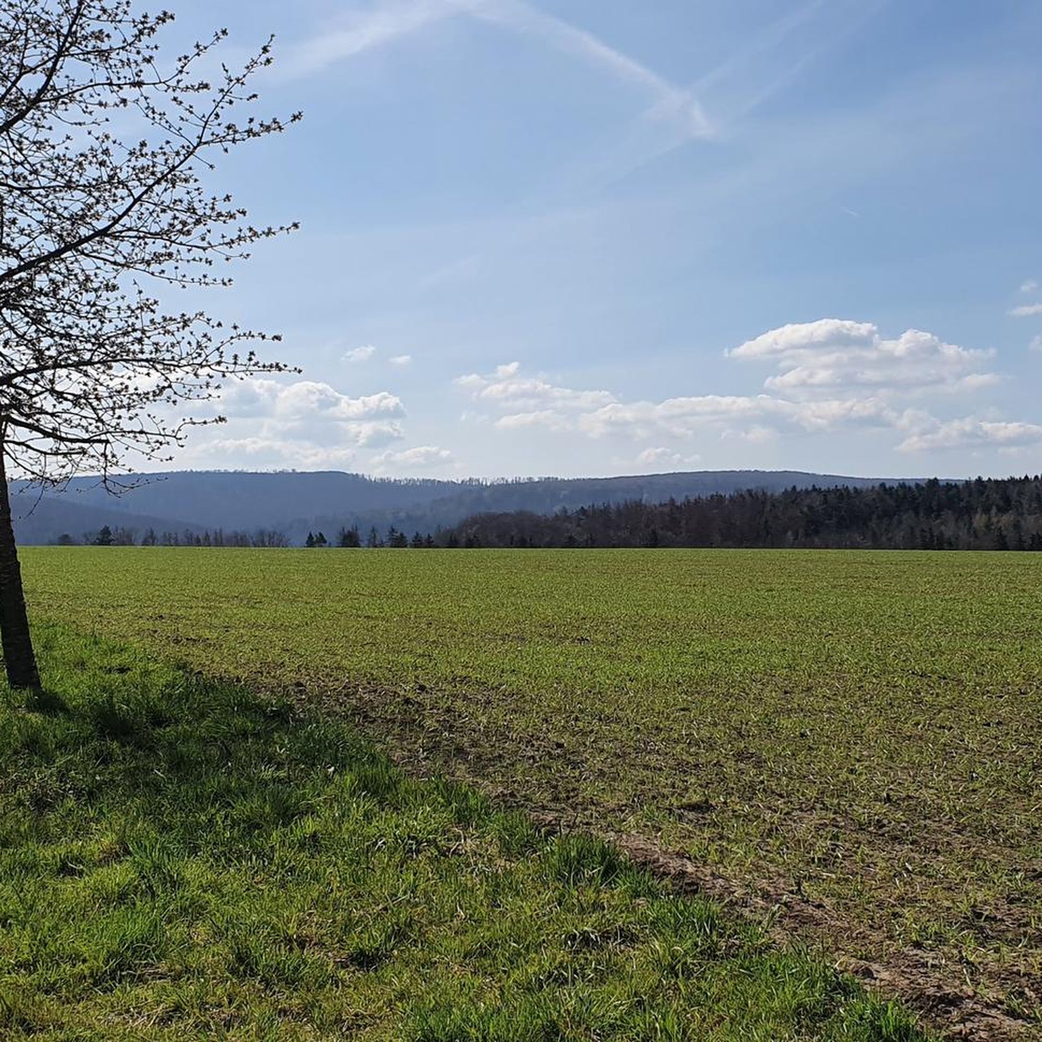
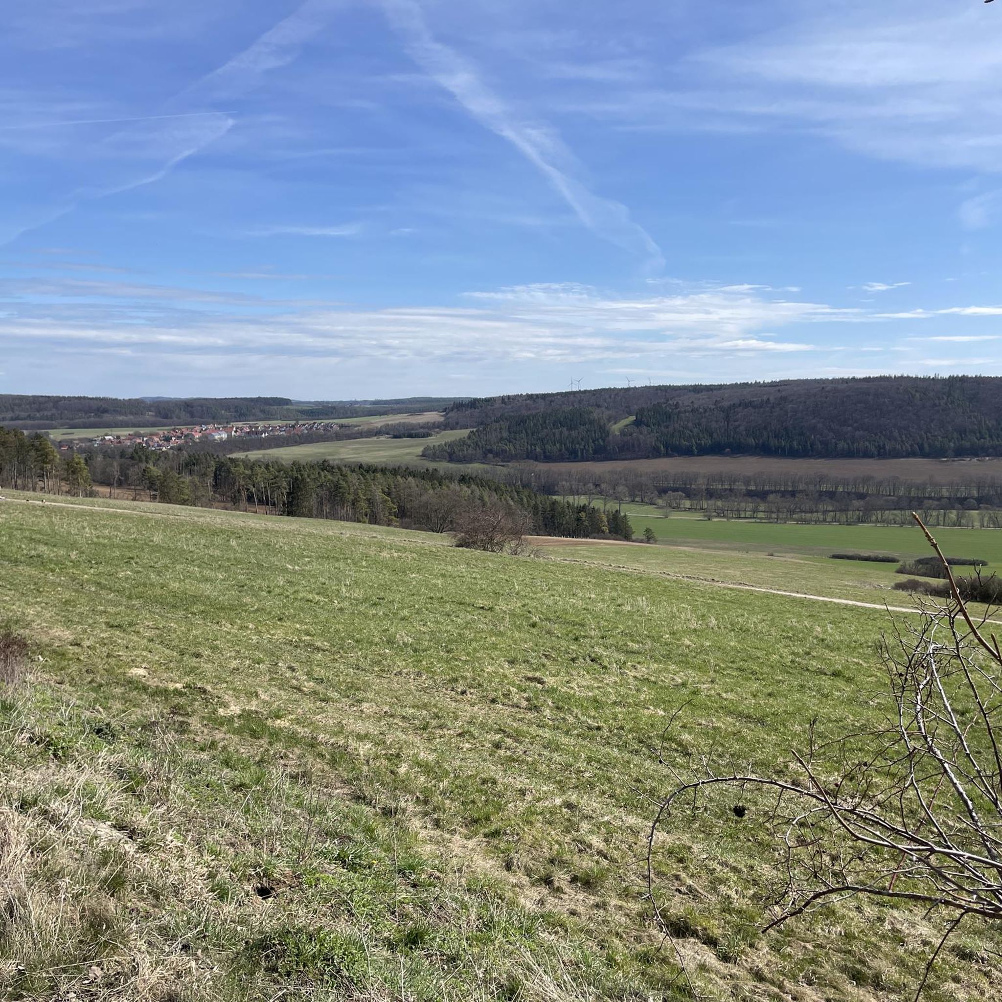
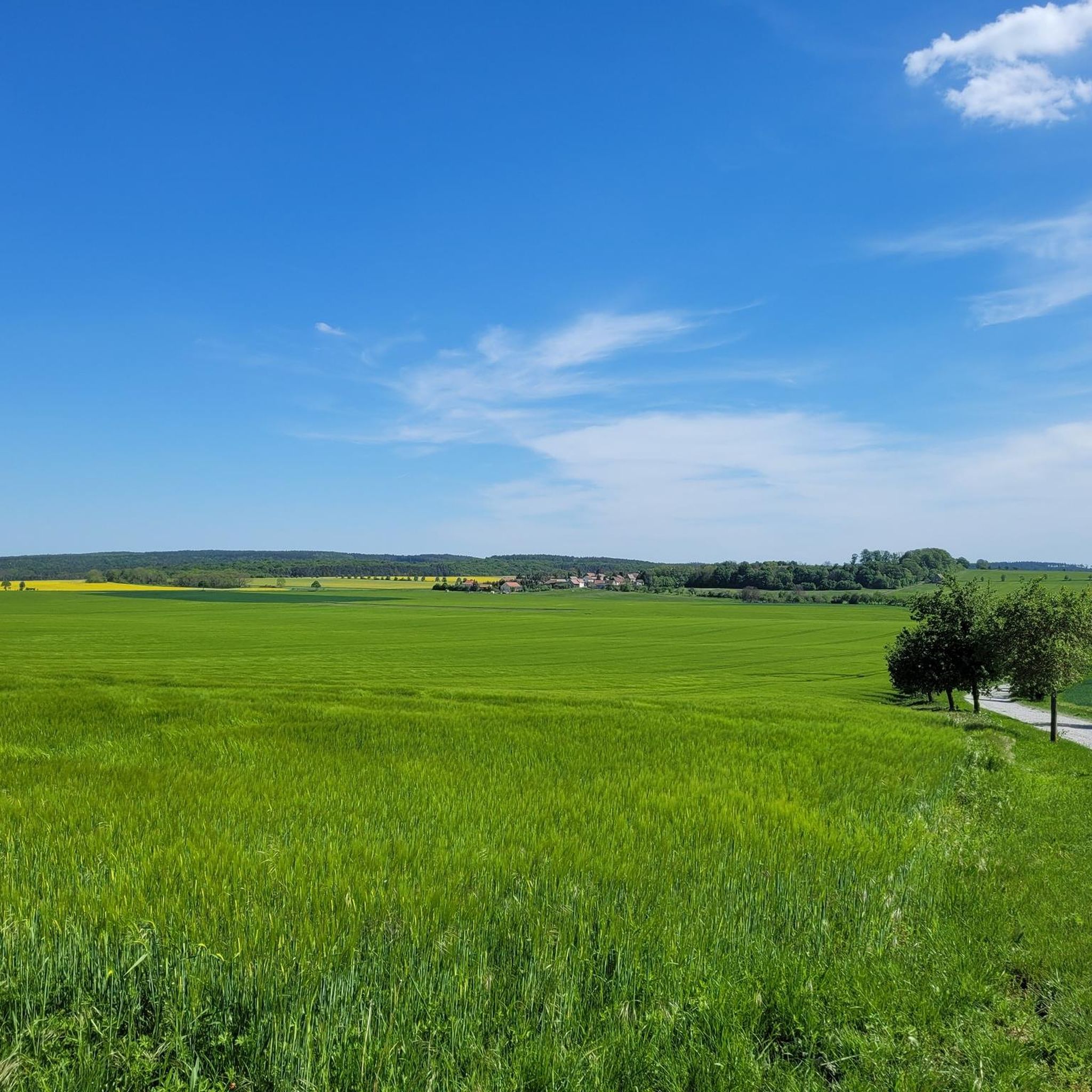
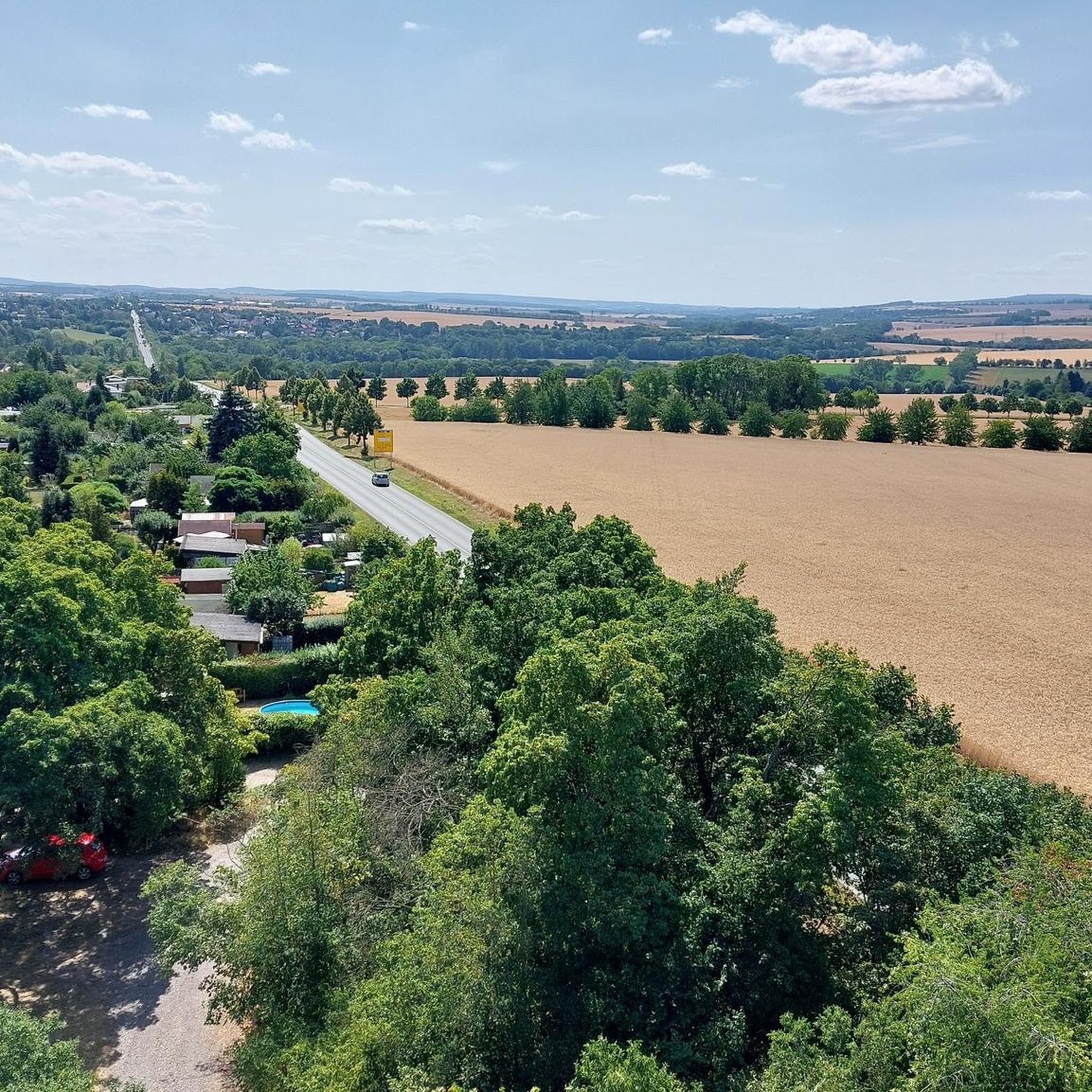
Hiking in Weimarer Land offers diverse landscapes, characterized by gently rolling hills, expansive valleys, and lush mixed forests. The region features the scenic Ilm Valley and charming park landscapes, providing varied terrain for outdoor activities. Hikers can explore areas with vineyards, such as Bad Sulza, which offer unique experiences and panoramic vistas. The topography includes natural features like the Hohenfelden Reservoir, contributing to a well-developed network of trails.
Best hiking trails in Weimarer Land
- The most popular hiking route is…
Last updated: October 12, 2026
4.6
(680)
1,859
hikers
9.11km
02:26
100m
100m
Moderate hike. Good fitness required. Easily-accessible paths. Suitable for all skill levels.
4.8
(211)
615
hikers
25.7km
07:16
530m
530m
Hard hike. Very good fitness required. Mostly accessible paths. Sure-footedness required.

4.7
(42)
127
hikers
5.17km
01:32
150m
150m
Moderate hike. Great for any fitness level. Mostly accessible paths. Sure-footedness required.
4.6
(24)
83
hikers
7.84km
02:06
130m
40m
Moderate hike. Good fitness required. Easily-accessible paths. Suitable for all skill levels.
4.6
(34)
102
hikers
10.4km
03:02
260m
260m
Moderate hike. Good fitness required. Mostly accessible paths. Sure-footedness required.
4.6
(377)
1,229
hikers
Easy hike. Great for any fitness level. Easily-accessible paths. Suitable for all skill levels.
4.5
(25)
67
hikers
6.80km
01:57
160m
160m
Easy hike. Great for any fitness level. Easily-accessible paths. Suitable for all skill levels.
4.2
(33)
87
hikers
8.79km
02:26
160m
160m
Moderate hike. Good fitness required. Mostly accessible paths. Sure-footedness required.
4.6
(17)
46
hikers
2.56km
00:40
20m
20m
Easy hike. Great for any fitness level. Easily-accessible paths. Suitable for all skill levels.
4.2
(9)
45
hikers
4.93km
01:21
80m
80m
Easy hike. Great for any fitness level. Easily-accessible paths. Suitable for all skill levels.
Get access to more routes and recommendations from other explorers.
Already have an account?
Our route recommendations are based on thousands of hikes, rides, and runs completed by other people on komoot.
Start today with a free account
Your next adventure awaits.
Other adventures in Weimarer Land


Tips from the Community

Herzog Ernst August von Weimar had it built in 1739 for storing the hunting equipment shafts for large court hunts.
1
0
Impossible to miss in the spa gardens. Perhaps for many, the first rendezvous at this place?😃
1
0

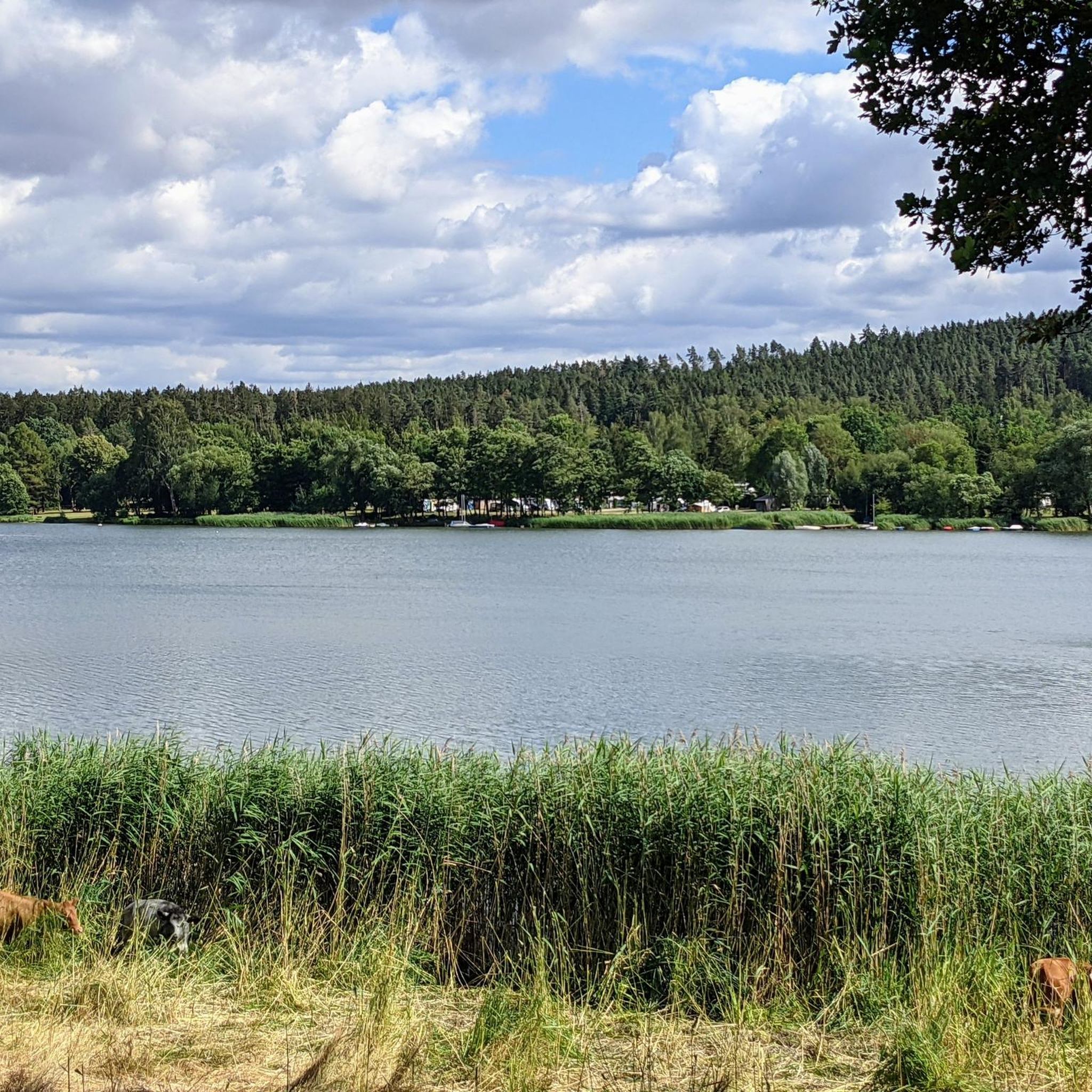
If you are out and about in the Weimarer Land, the Hohenfelden reservoir is the top spot for many activities. Cool off at the lido or grab a pedal boat from the boat rental. If you're looking for real thrills, one of Thuringia's largest climbing forests awaits you right on the shore with action in the treetops. If the weather lets you down, there's also the Avenida-Therme.
1
0

Perfect for relaxing
0
0

After the Second World War, the house belonged to the Volksheilbad, and since 1994 it has belonged to the town of Bad Berka again. Today, the Coudray House houses a museum with an interactive permanent exhibition, redesigned in 2014, on the development of spa and health care in Bad Berka.https://de.wikipedia.org/wiki/Bad_Berka
0
0

Located in the Kohlgrund valley and on the nature trail.
0
0

View of the reservoir at the reservoir - Kiosk
1
1

Zeughausplatz is the starting and ending point of this hike. I reached it on the rail replacement bus from Weimar train station, and the return journey also took place from Weimar main station.
1
0
Frequently Asked Questions
How many hiking trails are available in Weimarer Land?
Weimarer Land boasts an extensive network of over 1,700 hiking trails. These routes vary in difficulty, with approximately 890 easy, 807 moderate, and 63 difficult options, ensuring there's a suitable path for every hiker. The komoot community has rated these trails highly, with an average score of 4.6 stars from over 7,800 reviews.
Are there family-friendly hiking trails in Weimarer Land?
Yes, Weimarer Land is very family-friendly. Many trails are suitable for all ages, often featuring gentle slopes and interesting points along the way. For example, the area around the Hohenfelden Reservoir offers easy walks and an activity park. The Schlossberg Adventure Trail is another easy option, perfect for a shorter family outing.
What kind of landscapes can I expect to see while hiking in Weimarer Land?
Weimarer Land offers a diverse and picturesque landscape. You'll encounter gently rolling hills, expansive valleys, and lush mixed forests. The scenic Ilm Valley is a prominent feature, known for its natural beauty. Additionally, areas like Bad Sulza feature vineyards, providing unique hiking experiences with panoramic vistas. The Hohenfelden Reservoir also adds a significant natural attraction to the region's varied topography.
Are there any circular hiking routes in Weimarer Land?
Yes, many trails in Weimarer Land are designed as circular routes, offering convenient starting and ending points. A popular example is the Hohenfelden Reservoir – View of Hohenfelden Reservoir loop from Kranichfeld, an easy 6 km trail. Another option is the Hexenberg Loop, which is an easy 6.8 km route.
What historical or cultural attractions can I find along the hiking trails?
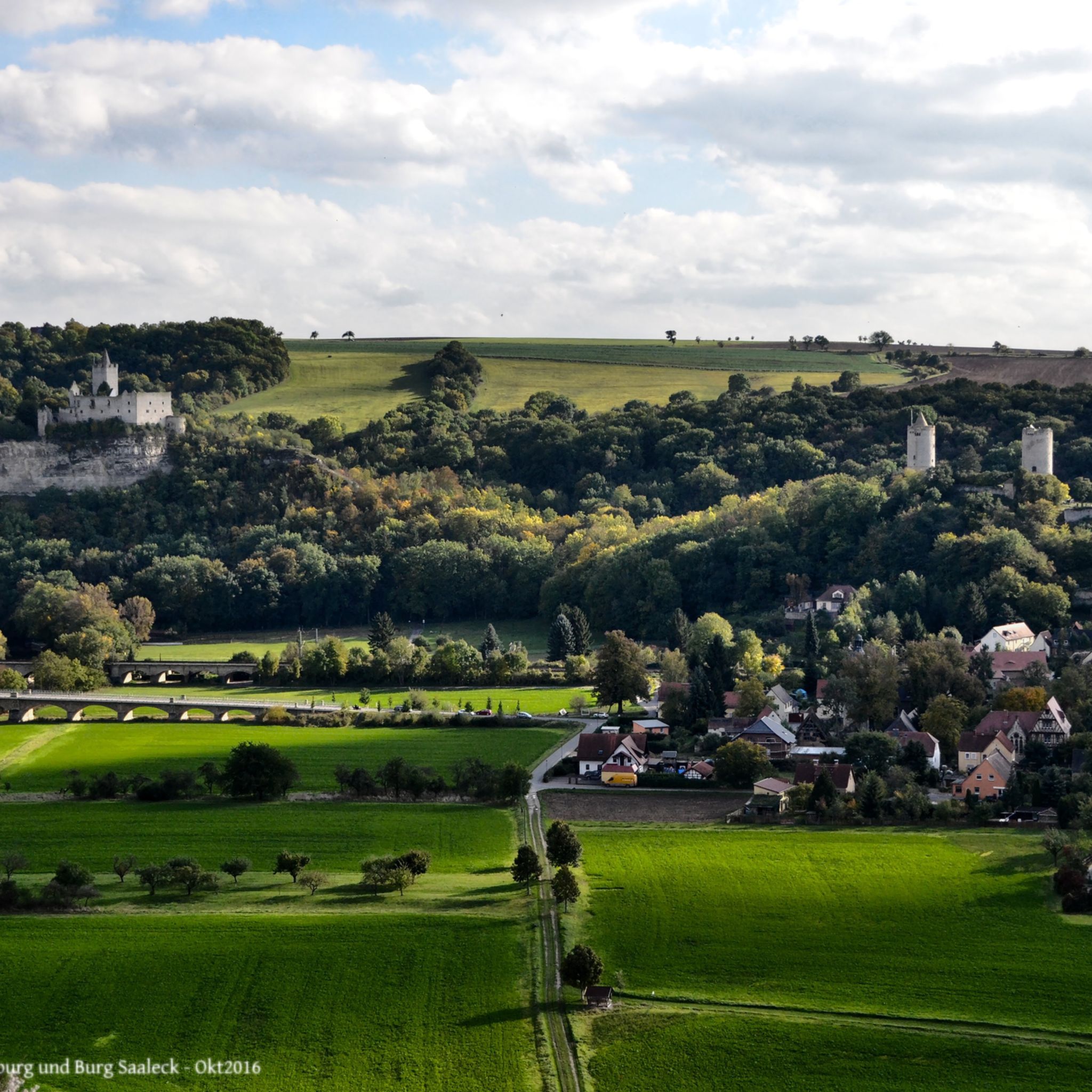
Weimarer Land is rich in history and culture. Many trails integrate natural beauty with historical points of interest. For instance, the Thuringian Three Towers Trail leads past three distinctive towers, including the Paulinenturm and Carolinenturm, offering impressive views and historical insights. The region also features attractions like the Covered Wooden Bridge in Buchfart and the Buchfart Watermill.
Are there dog-friendly hiking trails in Weimarer Land?
Weimarer Land is generally welcoming for hikers with dogs, with many trails suitable for canine companions. While specific rules may vary by location, most natural paths are dog-friendly. Always ensure your dog is on a leash where required and that you clean up after them. The diverse landscapes, from forests to open fields, provide plenty of opportunities for enjoyable walks with your pet.
What is the best time of year to go hiking in Weimarer Land?
Weimarer Land offers beautiful hiking experiences throughout the year. Spring brings blooming nature, while summer provides lush green landscapes. Autumn is particularly stunning with vibrant fall foliage, especially in the mixed forests and vineyards. Winter hiking is also possible, offering a serene and often snowy landscape, though appropriate gear is recommended.
Are there any longer, more challenging hikes for experienced hikers?
Yes, for experienced hikers seeking a challenge, Weimarer Land offers several longer and more difficult routes. The Thuringian Three Towers Trail is a notable example, spanning 25.7 km with significant elevation changes, taking over 7 hours to complete. These routes provide rewarding experiences with extensive views and varied terrain.
Can I reach hiking trails in Weimarer Land using public transport?
Many hiking trails in Weimarer Land are accessible via public transport, particularly those starting or ending in towns and villages with train or bus connections. For example, the "Belvedere Weimar, Hain Tower and Ilm Valley" route mentioned in regional research starts from Oberweimar railway station. It's advisable to check local public transport schedules for specific trailheads before planning your trip.
Are there any trails that offer views of vineyards?
Yes, the region around Bad Sulza is known for its vineyards and offers unique hiking experiences. The Bad Sulza Wine Hiking Route, for instance, winds through these vineyards, providing opportunities to enjoy panoramic views and savor local wine culture. These trails are particularly beautiful in late summer and autumn during harvest season.
What are some moderate hiking options in Weimarer Land?
Weimarer Land has numerous moderate trails perfect for a day hike. The Nature Adventure Trail from Bad Berka to Blankenhain is a moderate 7.8 km path through natural settings. Another good option is the Ludwig Häfner Trail, a 10.4 km route with moderate elevation changes.
Are there any trails that pass by water features or reservoirs?
Absolutely. The Hohenfelden Reservoir is a significant natural attraction in Weimarer Land, offering beautiful trails around its basin. The Hohenfelden Reservoir – View of Hohenfelden Reservoir loop from Kranichfeld is an excellent example, providing scenic views of the water. The Ilm Valley also features the Ilm River, with many trails following its course.
Most popular routes in Weimarer Land
Most popular attractions in Weimarer Land

Get inspired with the komoot mobile app


Didn’t find what you were looking for?
Check out more Hikes throughout Weimarer Land below and find the perfect route in your destination.
Explore more
Browse the best Hikes in other regions.
