The best walks and hikes around Weilheim an der Teck
4.5
(2342)
9,345
hikers
193
hikes
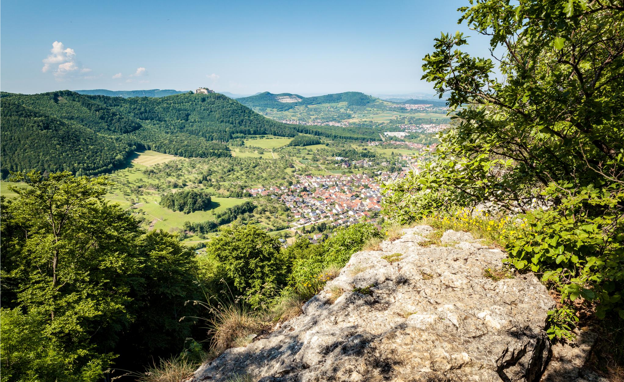
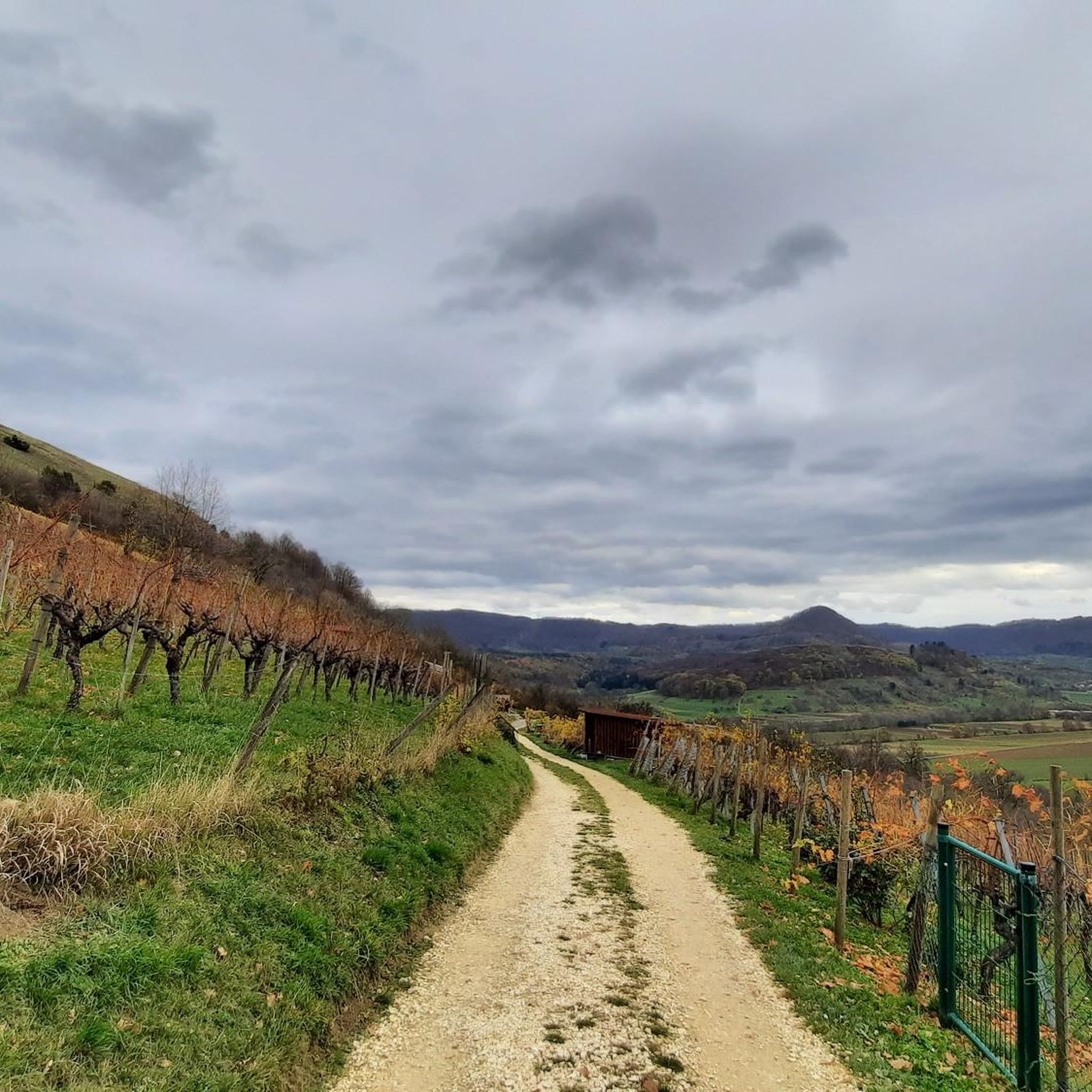
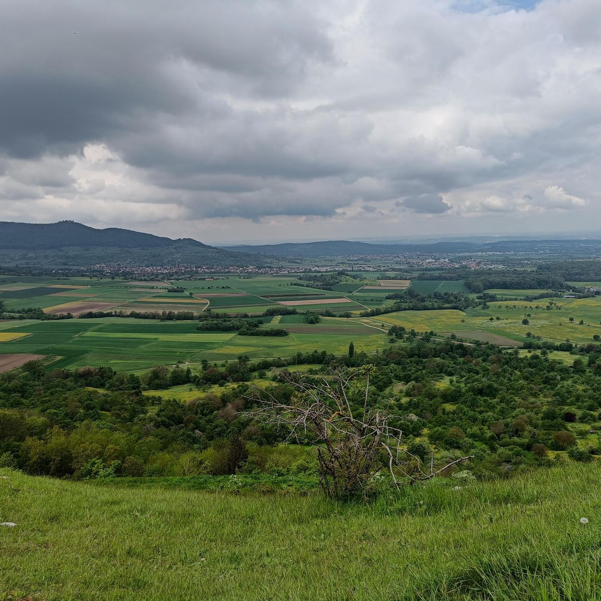
Hiking around Weilheim an der Teck offers access to the diverse landscapes of the Swabian Alb, characterized by its dramatic escarpment, known as the Albtrauf. The region features varied terrain including forests, valleys, and traditional cultural landscapes with orchards and sheep pastures. Hikers can explore numerous viewpoints, such as the Hoher Randen and Beurener Fels, which provide extensive panoramic views. Geological formations and deep gorges are also prominent features of the area's natural environment.
Best hiking trails around Weilheim an…
Last updated: October 15, 2026
4.8
(188)
618
hikers
Moderate hike. Good fitness required. Mostly accessible paths. Sure-footedness required.
4.8
(81)
396
hikers
Easy hike. Great for any fitness level. Easily-accessible paths. Suitable for all skill levels.

4.8
(81)
296
hikers
12.6km
03:59
440m
440m
Moderate hike. Good fitness required. Mostly accessible paths. Sure-footedness required.
4.9
(70)
248
hikers
Moderate hike. Good fitness required. Mostly accessible paths. Sure-footedness required.
4.9
(28)
177
hikers
Hard hike. Very good fitness required. Mostly accessible paths. Sure-footedness required.
Get access to more routes and recommendations from other explorers.
Already have an account?
Our route recommendations are based on thousands of hikes, rides, and runs completed by other people on komoot.
Start today with a free account
Your next adventure awaits.
Popular around Weilheim an der Teck
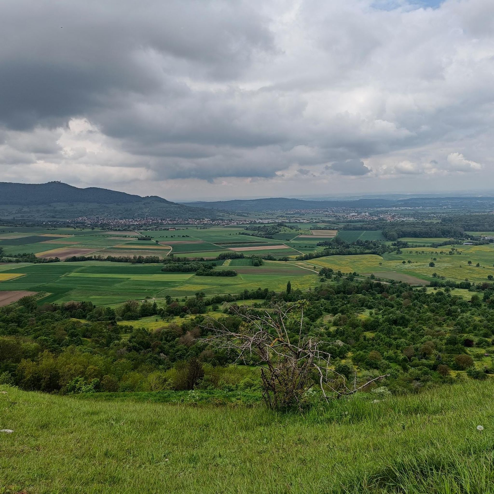
Other adventures around Weilheim an der Teck

Tips from the Community

A sunny bench with a great view of Hepsisau. A better choice in the morning when Villa Mastkorb is still in shadow.
0
0

The Boßler is a prominent mountain in the Swabian Alps near Gruibingen, rising to 794.7 meters above sea level. From its vantage point on the edge of the Alb plateau, a sweeping view opens up across the Alb foothills – on a clear day, this extends far to the west. A large memorial cross also stands here, commemorating several tragic aircraft crashes that have occurred in the region since the 1940s.
4
0
The Boßlerhaus, a nature lovers' lodge, is picturesquely situated on the northern edge of the Swabian Alb, at an altitude of 785 meters above sea level, between the idyllic villages of Gruibingen and Weilheim. From here, one has a magnificent panoramic view of the Three Emperor Mountains and the landscape in front of the Swabian Alb.
4
0

Great trail with amazing views. Watch out for hikers.
1
0

Wonderful view of the Reußenstein.
2
0

Beautiful place to let your gaze wander.
0
0

A particularly nice seat
1
0
Frequently Asked Questions
How many hiking trails are available around Weilheim an der Teck?
There are over 180 hiking routes around Weilheim an der Teck, catering to various fitness levels. You'll find a wide range of options, from easy strolls to more challenging ascents along the Swabian Alb escarpment.
What kind of terrain can I expect on hikes near Weilheim an der Teck?
The terrain around Weilheim an der Teck is diverse, featuring dense forests, deep gorges, and traditional cultural landscapes with orchards and sheep pastures. You'll encounter varied paths, including quiet forest trails and routes along the dramatic Albtrauf, the steep escarpment of the Swabian Alb.
Are there any family-friendly hiking options in Weilheim an der Teck?
Yes, Weilheim an der Teck offers several child-friendly routes. The region research mentions the "Zwergerlpfad" (dwarf trail) as an example, designed for younger adventurers to playfully explore nature. Many of the 103 easy routes available are suitable for families.
Can I bring my dog on the hiking trails around Weilheim an der Teck?
Many trails in the Weilheim an der Teck area are suitable for dogs, allowing you to explore the natural landscapes together. It's always advisable to keep your dog on a leash, especially in nature reserves or near livestock, and to check local regulations for specific trails.
What are the best times of year to go hiking in Weilheim an der Teck?
The best seasons for hiking in Weilheim an der Teck are spring and autumn, when the forests display vibrant colors or awaken from winter. Even in summer, numerous shady paths provide respite from the heat, making it possible to hike comfortably.
Are there any circular hiking routes available?
Yes, many routes around Weilheim an der Teck are designed as circular walks. For example, the Zipfelbach Gorge – Breitenstein Viewpoint loop from Randecker Maar mit Zipfelbachschlucht is a popular 5.1-mile (8.2 km) loop that offers views of the gorge and surrounding landscape.
What kind of viewpoints or natural features can I see on the trails?
The region is rich in viewpoints and natural features. You can find impressive vistas at the "Hoher Randen" and "Beurener Fels." The Breitenstein Viewpoint is a notable highlight. The area also features unique geological formations, deep gorges, and the dramatic Albtrauf escarpment.
Are there any castles or historical sites to visit while hiking?
Absolutely. You can hike to historical sites like Teck Castle, which is located at 773 meters on the Albtrauf and offers a restaurant and hostel. The imposing ruins of Reußenstein Castle are also easily accessible and a popular hiking destination.
What do other hikers enjoy most about the trails in Weilheim an der Teck?
The trails in Weilheim an der Teck are highly rated by the komoot community, with an average score of 4.6 stars from over 2,100 reviews. Hikers often praise the diverse terrain, the stunning panoramic views from various viewpoints, and the well-maintained network of paths that cater to different skill levels.
Are there any easy hikes with great views?
Yes, there are several easy hikes that offer beautiful views. The Mondhäge – Limburg Viewpoint loop from Weilheim an der Teck is an easy 3.2-mile (5.2 km) path that leads to a prominent viewpoint overlooking the area, perfect for a relaxed outing.
Can I find routes that include gorges or waterfalls?
Yes, the region features deep gorges and dense forests. The Zipfelbach Gorge – Auchtert Wooden Bridge loop from VVG der Stadt Weilheim an der Teck is a 6.0-mile (9.7 km) trail that leads through the scenic Zipfelbach Gorge, offering a chance to experience these natural formations.
Are there any premium hiking trails in the area?
Yes, Weilheim an der Teck is a gateway to the Swabian Alb, which features premium hiking trails. The "HOCHGEHBERGE" tours, such as "hochgehadelt," are examples of these, showcasing cultural monuments, orchards, sheep pastures, and stunning viewpoints.
Most popular routes around Weilheim an der Teck
Most popular attractions around Weilheim an der Teck

Get inspired with the komoot mobile app


Explore more
Browse the best Hikes in other regions.
