The best road cycling routes around Weilar
4.6
(99)
1,263
riders
108
rides
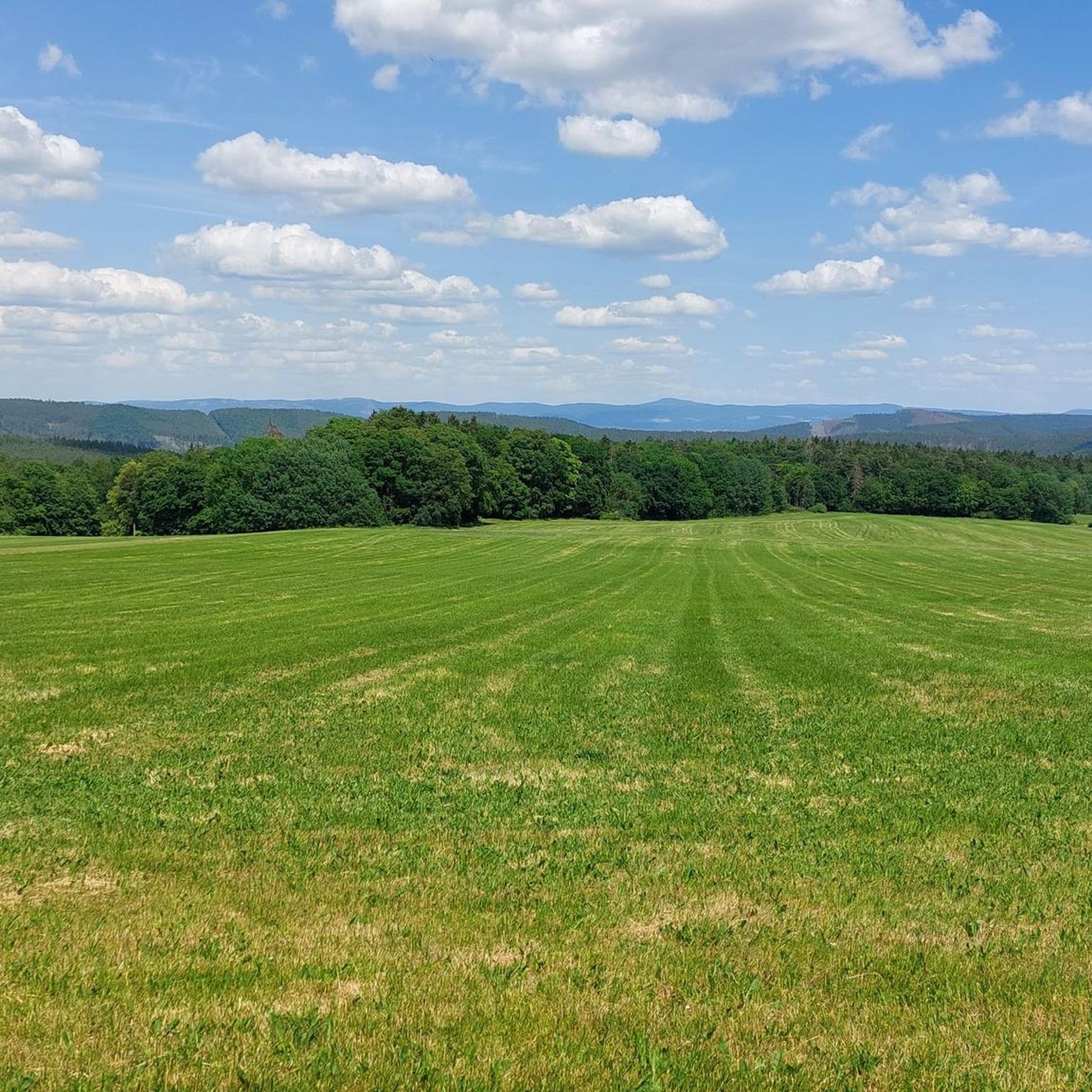
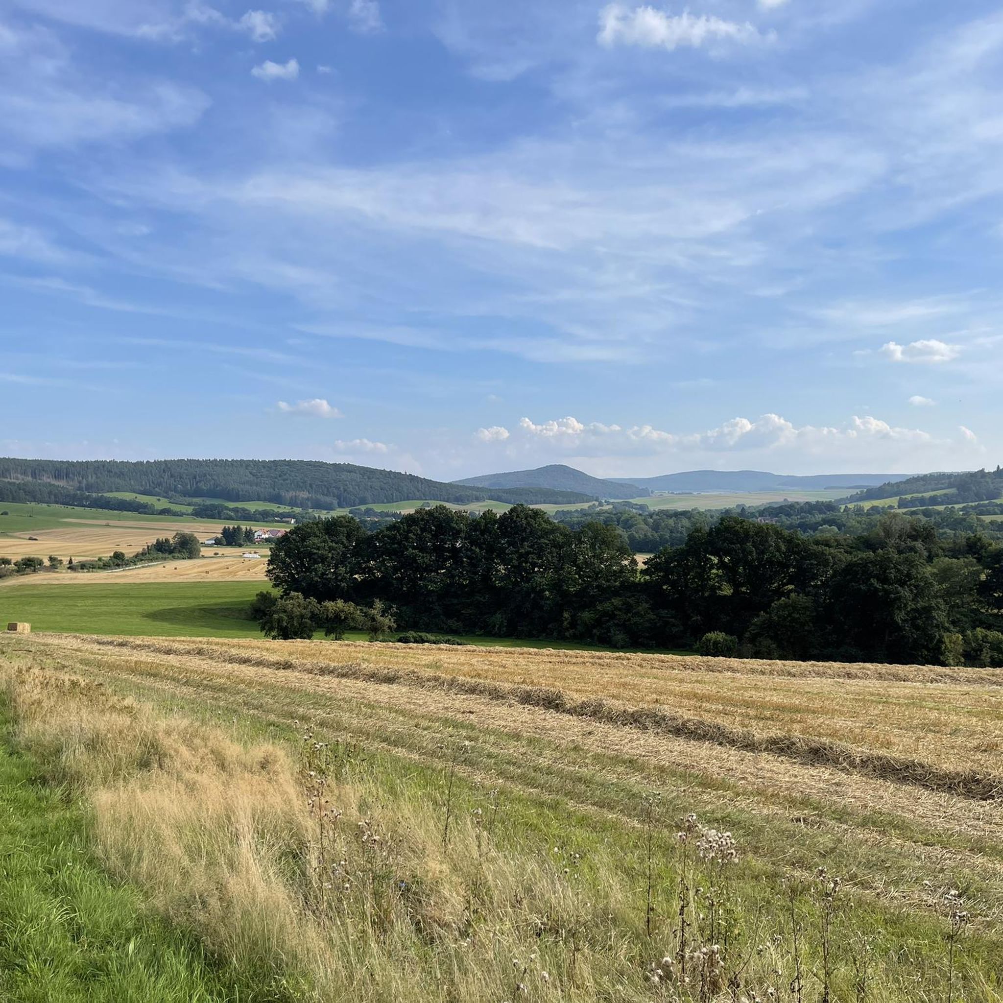
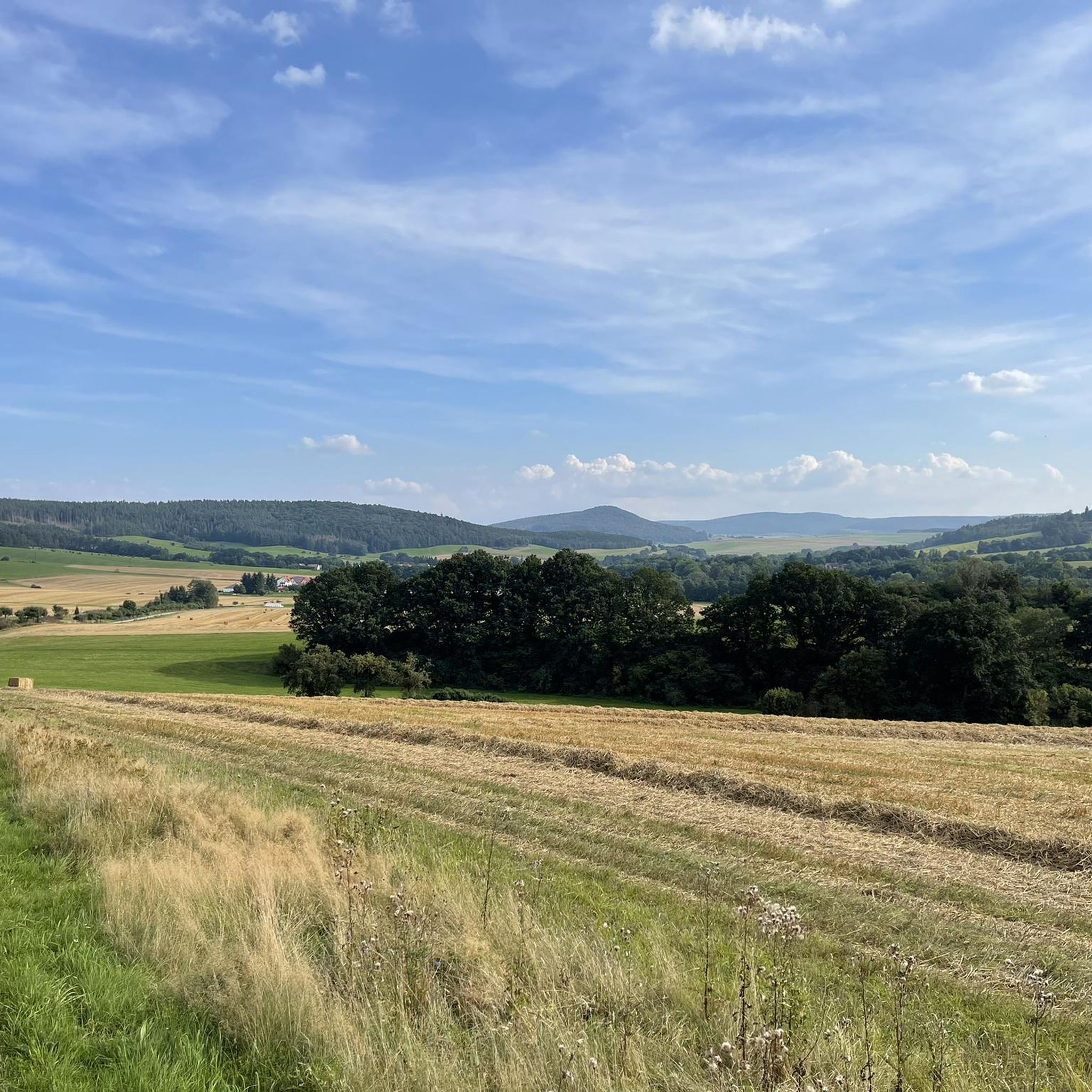
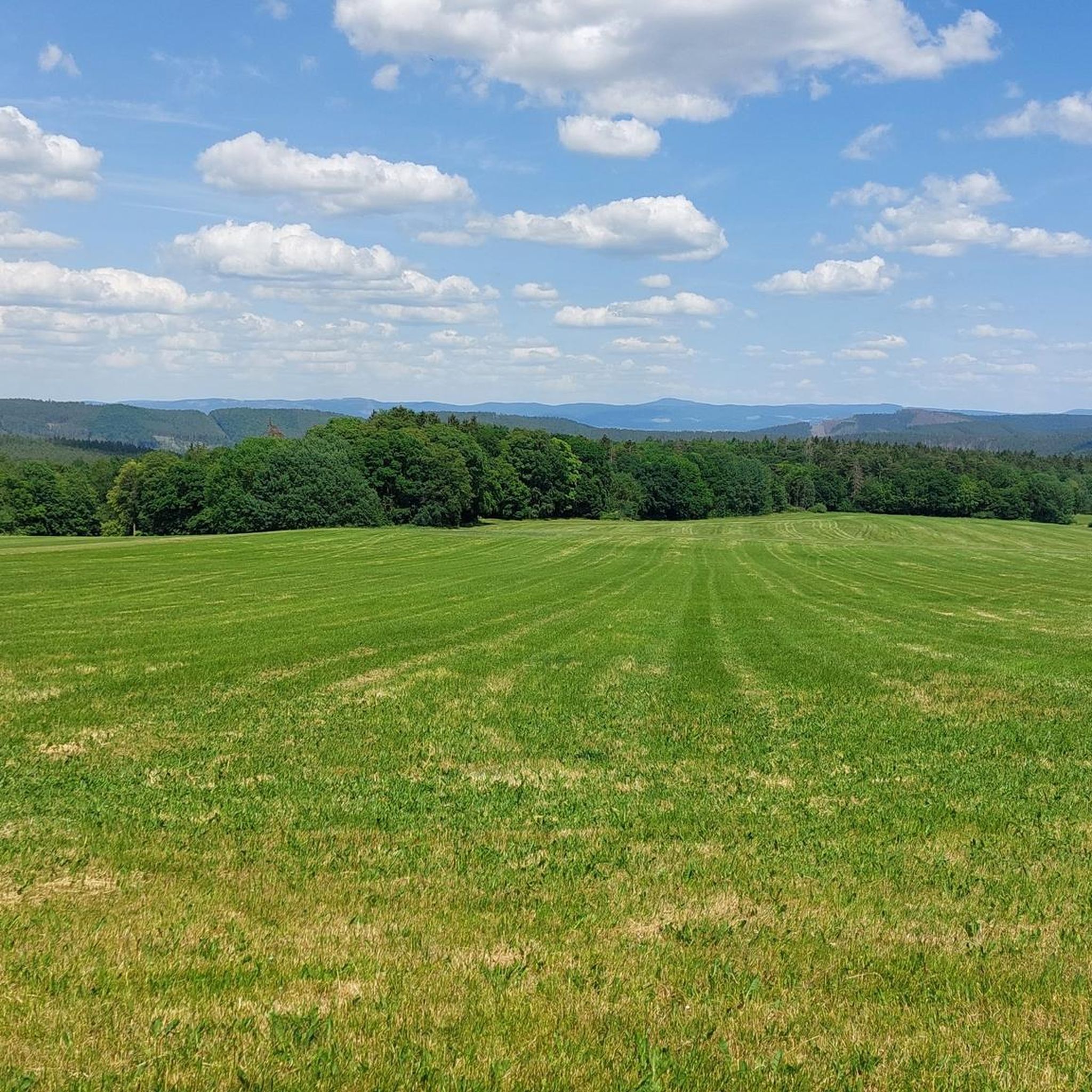
Road cycling around Weilar features a landscape characterized by river valleys, such as those along the Werra, and a mix of open fields and forested areas. The region includes various water bodies like the Immelborn pond and Breitunger Lakes, offering routes with scenic views. Elevation changes are present, with some routes incorporating hills and views towards the Rennsteig ridge. The terrain provides a diverse environment for road cyclists, from flatter sections along waterways to more undulating paths.
Best road cycling…
Last updated: July 7, 2026
5.0
(4)
48
riders
67.2km
02:51
450m
450m
Moderate road ride. Good fitness required. Some segments of this route may be unpaved and difficult to ride.
4.7
(10)
47
riders
56.3km
02:36
470m
470m
Moderate road ride. Good fitness required. Mostly well-paved surfaces and easy to ride.

Sign up for free
18
riders
28.5km
01:08
140m
140m
Easy road ride. Great for any fitness level. Mostly well-paved surfaces and easy to ride.
5.0
(1)
13
riders
44.2km
01:59
380m
370m
Moderate road ride. Good fitness required. Mostly well-paved surfaces and easy to ride.
8
riders
92.3km
04:01
810m
810m
Moderate road ride. Good fitness required. Mostly well-paved surfaces and easy to ride.
Get access to more routes and recommendations from other explorers.
Sign up for free
Already have an account?
Our route recommendations are based on thousands of hikes, rides, and runs completed by other people on komoot.
Start today with a free account
Your next adventure awaits.
Login or Signup
Tips from the Community

Water feature in Neidhartsha🏞🎡
0
0


Yes, unfortunately, the beer garden was no longer open in 2024. A gem along the bike path that is sorely missed.
0
0

The beer garden seems to have been closed for a while. Too bad, I had to leave without stopping.
0
0


Lost place located directly on the bike path.
0
0

There is a small, free local history museum in the city gate. It offers a lot of information about the historical site and shows an old guard room with a prison. In the museum you can also learn how the tower was used over time before it became a local history museum.
4
0

unfortunately already closed again, so permanently closed
3
0
Frequently Asked Questions
How many road cycling routes are available around Weilar?
There are over 100 road cycling routes around Weilar, offering a wide variety of options for different skill levels and preferences.
Are there easy road cycling routes suitable for beginners or families in Weilar?
Yes, Weilar offers 21 easy road cycling routes. A great option is the Old Bridge Stadtlengsfeld – Lengsfeld Castle loop from Stadtlengsfeld, which is 17.7 miles (28.5 km) long and takes about 1 hour 8 minutes to complete, passing historical sites.
What are the typical distances for road cycling routes in the Weilar region?
Route distances vary significantly. You'll find shorter routes like the 17.7 miles (28.5 km) Old Bridge Stadtlengsfeld – Lengsfeld Castle loop, up to longer tours such as the 56.3 km (35.0 miles) Sängerwiese Bermbach – Werrabrücke Vacha loop, and even longer ones like the 91.5 km (56.9 miles) Feldabahn Cycle Path – View of the Rennsteig loop.
Are there challenging road cycling routes for experienced cyclists in Weilar?
Yes, for more experienced cyclists, there are 18 difficult routes available. These routes often feature greater elevation changes and longer distances, providing a good challenge.
What kind of scenery can I expect on road cycling routes around Weilar?
The region is characterized by picturesque river valleys, notably along the Werra, and a mix of open fields and forested areas. You'll also encounter various water bodies like the Immelborn pond and Breitunger Lakes, offering diverse and scenic views. Some routes also provide views towards the Rennsteig ridge.
Are there any circular road cycling routes in Weilar?
Many of the road cycling routes around Weilar are designed as loops, allowing you to start and end in the same location. For example, the Immelborn pond – Breitunger Lakes loop from Dermbach is a popular circular route.
What historical sites or landmarks can I see along the road cycling routes?
You can explore several historical sites. The Old Bridge Stadtlengsfeld – Lengsfeld Castle loop takes you past the Old Bridge and Lengsfeld Castle. Other notable landmarks in the broader region include Schnepfenburg Castle and the Roßdorfer Gate.
What natural attractions are there to see while road cycling in Weilar?
The routes often pass by beautiful natural features. You can visit the Lake Immelborn and the Breitunger Lakes. Other natural highlights in the area include the Bernshäuser Kutte and the Öchsenberg Summit with its Celtic Cross.
What do other road cyclists enjoy most about road cycling in Weilar?
The area is highly rated by the komoot community, with an average score of 4.6 stars from over 90 reviews. Cyclists often praise the diverse terrain, from flatter sections along waterways to more undulating paths, and the scenic views of river valleys and lakes.
Are there routes that follow specific cycle paths or rivers?
Yes, several routes utilize established paths and follow waterways. For instance, the Sängerwiese Bermbach – Werrabrücke Vacha loop follows the Werra river, and the Feldabahn Cycle Path – View of the Rennsteig loop incorporates a dedicated cycle path.
What is the best time of year for road cycling in Weilar?
The region is generally pleasant for road cycling from spring through autumn, when the weather is mild and the natural scenery is at its best. The river valleys and open fields offer beautiful views during these seasons.
Most popular attractions around Weilar

Get inspired with the komoot mobile app


Explore more
Browse the best Road cycling routes in other regions.
