Dethick, Lea And Holloway
Dethick, Lea And Holloway
The 7 Most Amazing Peaks around Dethick, Lea And Holloway
Best mountain peaks around Dethick, Lea And Holloway are characterized by modest peaks and elevated areas offering scenic views and enjoyable hiking experiences. The region's landscape features woodlands and gentle streams, providing a peaceful setting for outdoor enthusiasts. Elevated sections offer panoramic views of the Amber Valley, with some routes involving significant elevation gains. These areas are appealing for their natural beauty and varied walking experiences.
Best mountain peaks around Dethick, Lea And Holloway
- The most popular mountain peaks is…
Last updated: June 29, 2026
High Tor and Giddy Edge
Highlight (Segment) • Viewpoint
Tip by

Stanton Moor Trig Point
Highlight • Viewpoint
Tip by

Sign up now to discover places like this
Get recommendations on the best single tracks, peaks, & plenty of other exciting outdoor places.
Sign up for free
Alport Heights Summit
Highlight • Viewpoint
Tip by

Bolehill Trig Point
Highlight • Monument
Tip by

Beeley Moor Summit
Highlight • Climb
Tip by
Sign up for free to discover even more peaks around Dethick, Lea And Holloway.
Sign up for free
Already have an account?
Start today with a free account
Your next adventure awaits.
Login or Signup
Popular around Dethick, Lea And Holloway
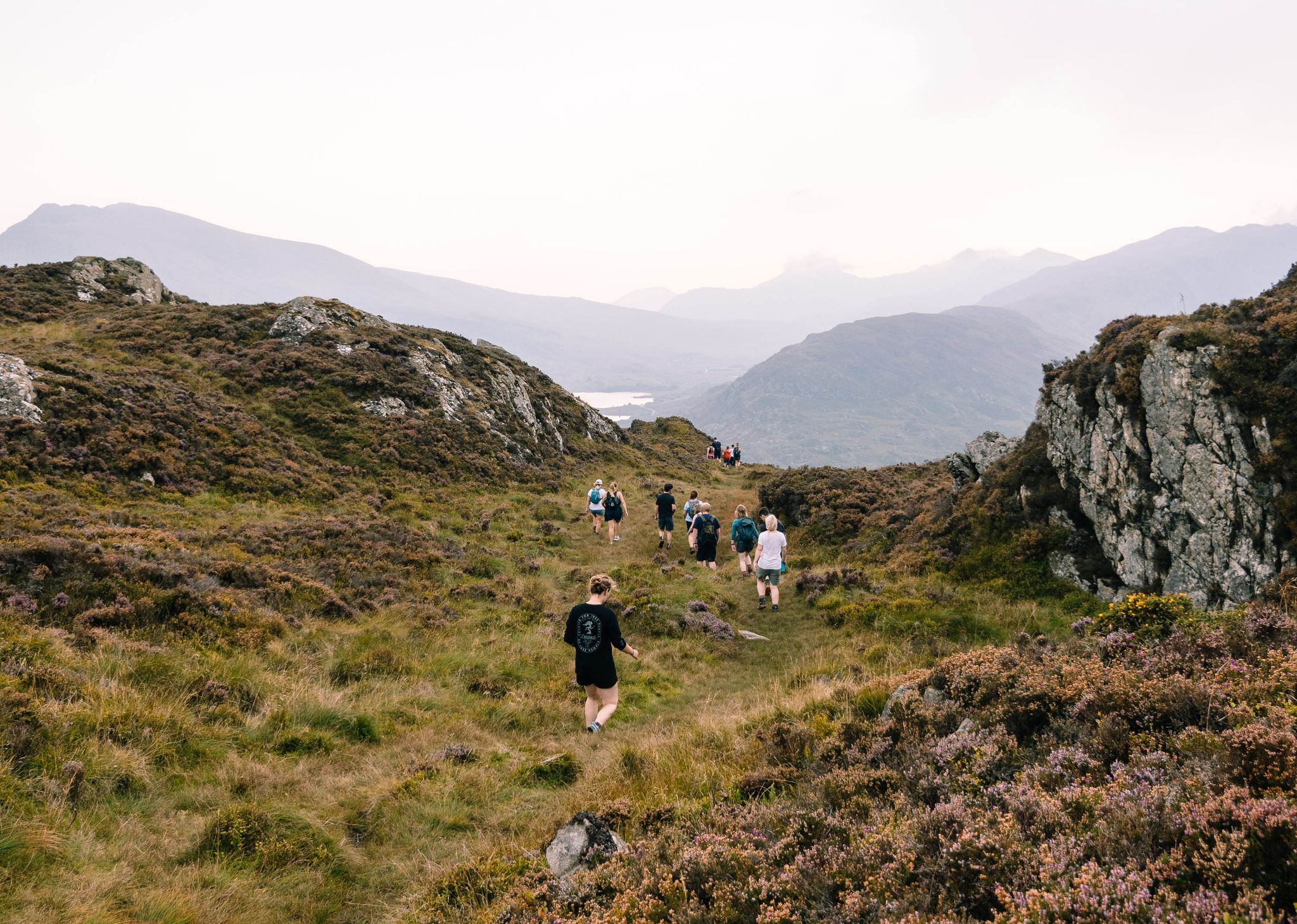
Connect with Nature – Purposeful Adventures in 2024
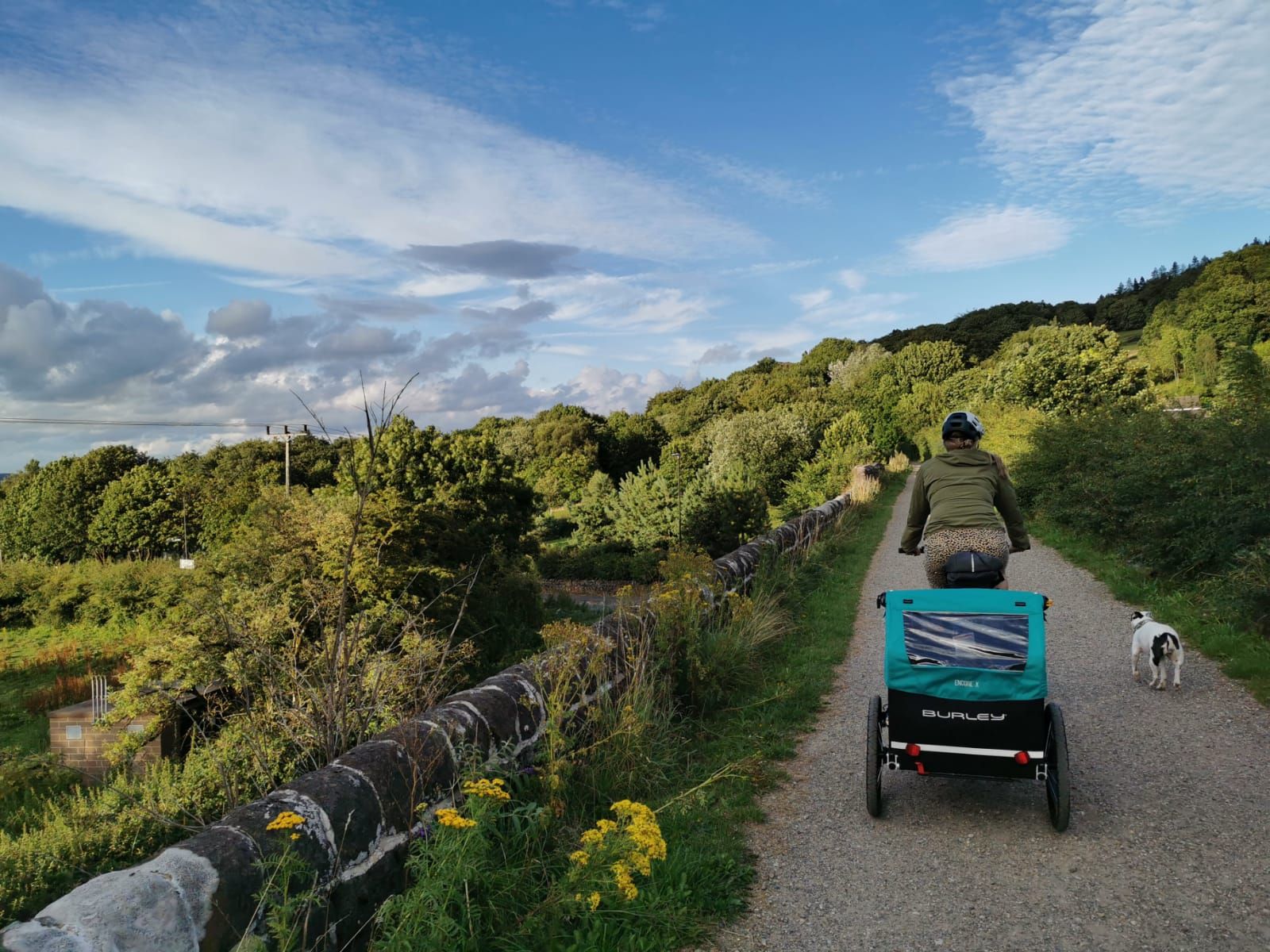
Family-friendly bikepacking – High Peak Trail and Tissington Trail
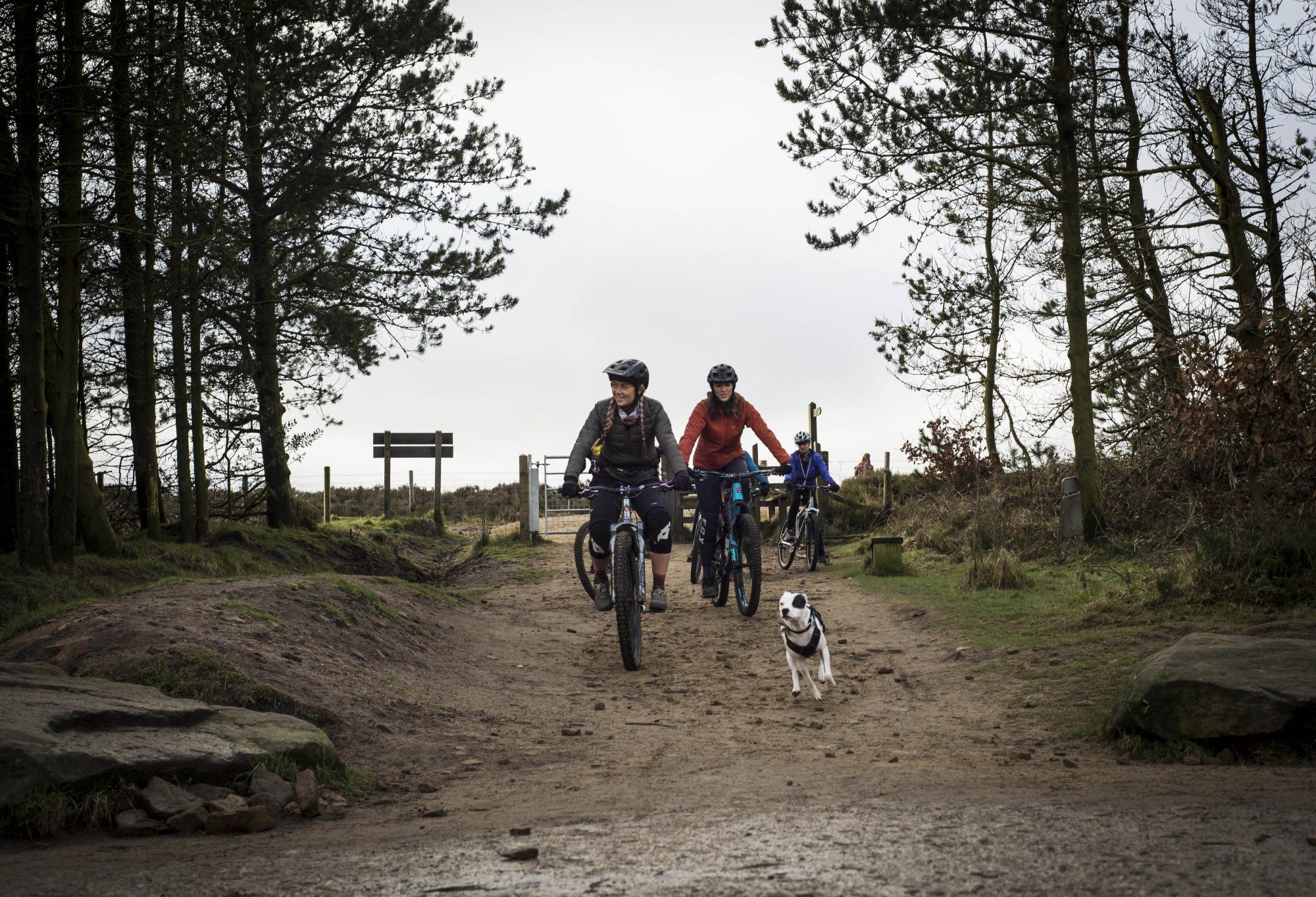
My favourite trail dog rides with Bell
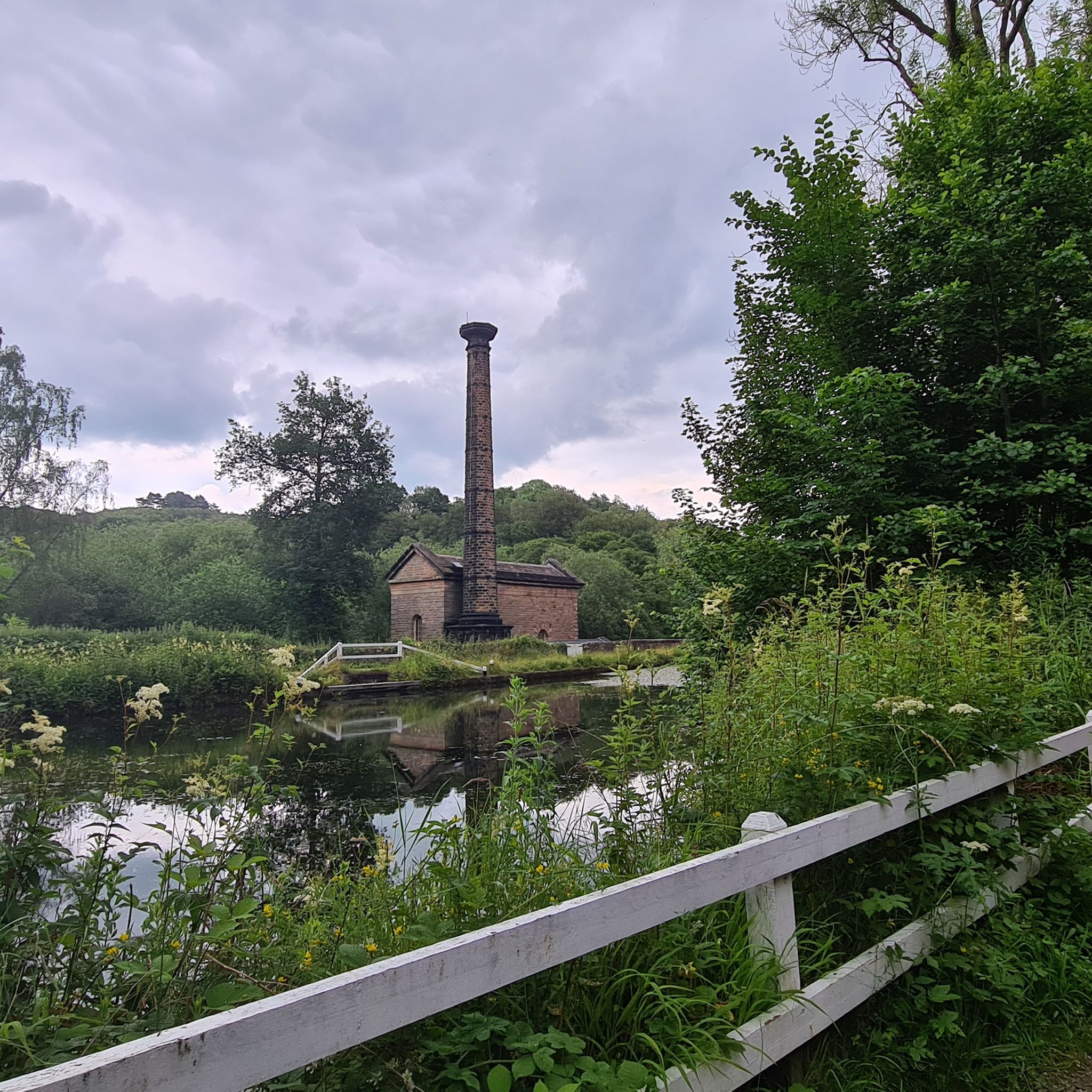
Hiking around Dethick, Lea And Holloway
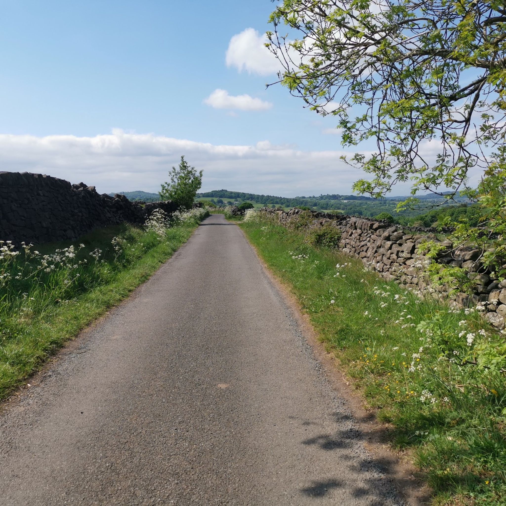
Cycling around Dethick, Lea And Holloway
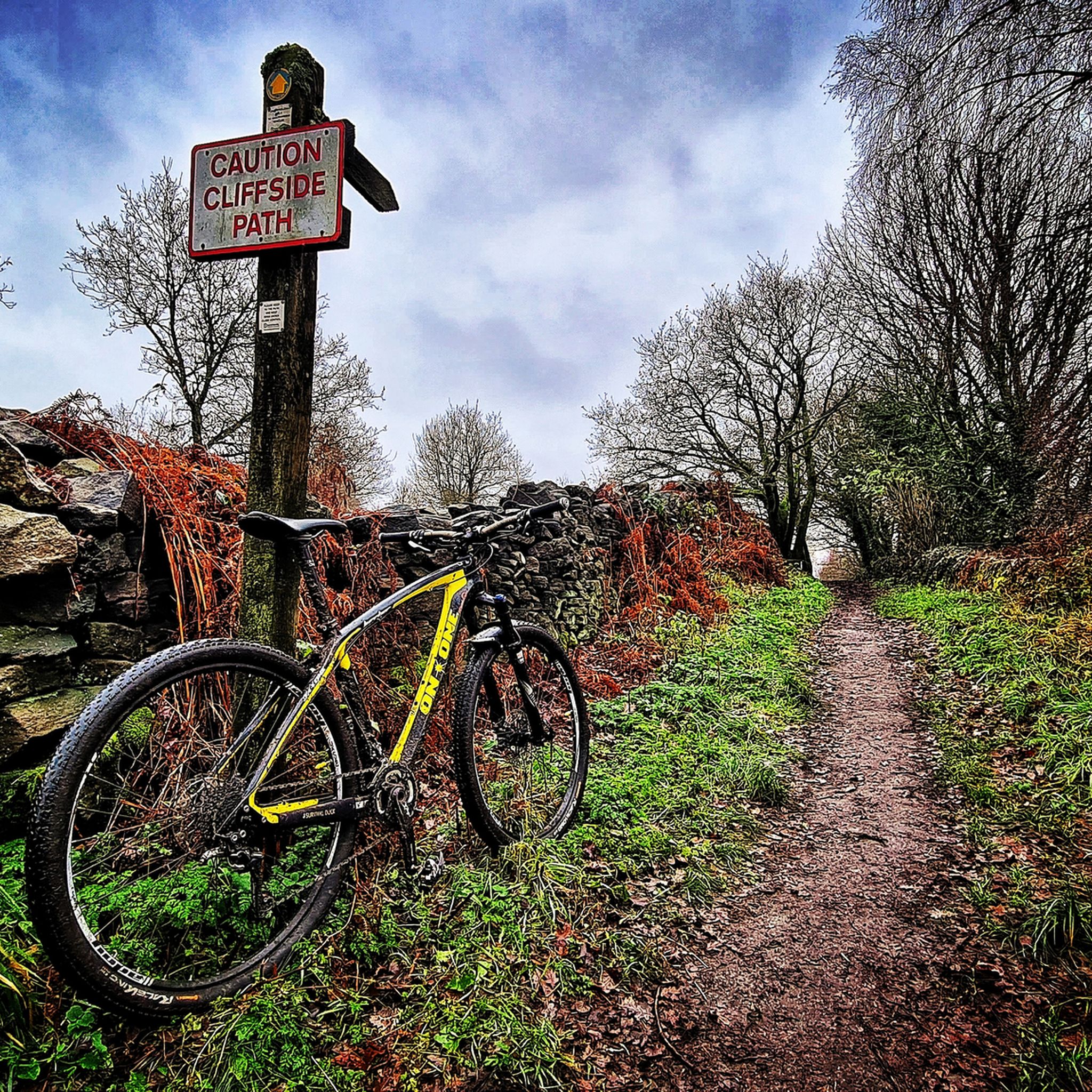
MTB Trails around Dethick, Lea And Holloway
Running Trails around Dethick, Lea And Holloway
Road Cycling Routes around Dethick, Lea And Holloway
Gravel biking around Dethick, Lea And Holloway


Tips from the Community

Greart Climb from Beeley. Road is closed to traffic due to a landslip but you can ride up on a bike after negotiating the barriers.
0
0


A lovely "flat" compared to the surrounding peaks!
0
0

19th century pleasure ground which exploited the dramatic qualities of the Derwent valley. Peter Arkwright of Willersley Castle enclosed the grounds c 1860 and constructed pedestrian paths from a new entrance on the south side approached from the bridge to Matlock Bath railway station. The entrance from Starkholmes Road was retained and could be used by carriages. A pathway was formed through Fern Cave (scheduled ancient monument) and another on a narrow ledge along part of the cliff face. In 1879 the grounds were leased to the Matlock and High Tor Recreation Grounds Company Ltd and Milner of London was retained to supervise landscaping. Arkwright's Grand Walk, also used by carriages, was created, leading south to the summit from a gateway in Pig Tree Lane, now Pic Tor Lane. A refreshment room was erected near the summit, tennis and quoit or skittle grounds were constructed close to a modified southern entrance and additional paths put in with a broad flight of steps.
0
0

Alas, the previously awesome views from the trig point are long gone due to tree growth. Today the trig point is a waypoint only; for views head over to Black Rocks.
0
0
Bolehill (Cromford Moor) is 323 metres high and is one of the 95 Ethels (Peak District Hills).
0
0

There are eight transmitter masts visible on the top of the hill (one of them is shorter).
1
0
Frequently Asked Questions
What are some of the most scenic viewpoints in Dethick, Lea And Holloway?
The region offers several excellent viewpoints. High Tor and Giddy Edge provides impressive views over Matlock Bath. Another popular spot is Stanton Moor Trig Point, offering breathtaking views overlooking Bakewell and Matlock. You can also find panoramic vistas from Alport Heights Summit, which is the highest point in the local area.
Are there any historical sites or landmarks on these peaks?
Yes, the area combines natural beauty with historical significance. Stanton Moor Trig Point is located on moorland with a Bronze Age stone circle at its heart. Additionally, Ashover Rock (The Fabrick) Trig Point and Doomsday Bunker features both a trig point and a historical bunker, offering stunning views at 299m above sea level.
What kind of terrain can I expect when hiking the peaks in this region?
The terrain around Dethick, Lea And Holloway features a mix of woodlands, gentle streams, and elevated sections. While not towering mountains, you'll encounter 'modest peaks' and 'big hills' with significant elevation gains, sometimes up to 345 meters (about 1,132 feet) on routes like Lea Riber Tansley. Trails can range from leisurely strolls to more strenuous hikes through forested hills, occasionally revealing picturesque spots and hidden caves.
Are there family-friendly options for exploring the peaks?
Yes, several elevated areas are suitable for families. Stanton Moor Trig Point is considered family-friendly, offering a majestic area of upland to explore. Alport Heights Summit is also a family-friendly high point with rewarding views.
Can I bring my dog on walks around the peaks?
Many of the trails and elevated areas in Dethick, Lea And Holloway are dog-friendly, especially those winding through woodlands and open moorland. Always ensure your dog is under control, particularly near livestock, and check for any specific local restrictions or signage on individual routes.
What are the highest points or summits in Dethick, Lea And Holloway?
The highest points in the immediate area are modest but offer great views. Bolehill Trig Point reaches 323 meters, providing high ground with many walking trails. Ashover Rock (The Fabrick) Trig Point and Doomsday Bunker is another high point at 299 meters above sea level, known for its stunning views.
What outdoor activities, besides peak bagging, can I do near Dethick, Lea And Holloway's elevated areas?
Beyond exploring the peaks, the region offers diverse outdoor activities. You can find numerous hiking trails, including moderate routes like 'Cromford Wharf – High Tor and Giddy Edge loop' or 'Lea Wood Ancient Woodland – River Derwent at Whatstandwell loop'. For cycling enthusiasts, there are options like the 'High Peak Trail – High Peak Trail loop' or 'River Derwent at Cromford – Chatsworth House loop'. You can explore more routes on the hiking guide or cycling guide for Dethick, Lea And Holloway.
Are there any challenging hikes or trails for experienced walkers?
While the peaks are modest, some routes offer a challenge. High Tor and Giddy Edge is noted for its challenging sections, particularly the unfenced footpath along the summit. The region's 'big hills' and routes with significant elevation gains, such as the Lea Riber Tansley walk with its 345-meter ascent, provide more strenuous hiking experiences.
What do visitors enjoy most about the peaks and elevated areas in Dethick, Lea And Holloway?
Visitors frequently praise the impressive and spectacular views from various vantage points, such as those over Matlock Bath from High Tor and Giddy Edge. The natural beauty, varied walking experiences, and the peaceful setting provided by woodlands and gentle streams are also highly appreciated. Many find places like Stanton Moor Trig Point to be magical places to explore, rich in wildlife and ancient history.
What is the best time of year to visit Dethick, Lea And Holloway for hiking?
The region's landscape, characterized by woodlands and streams, is enjoyable throughout much of the year. Spring and autumn offer pleasant temperatures and beautiful foliage. Summer provides longer daylight hours for extended walks. While winter walks are possible, be prepared for potentially muddy trails and colder conditions, especially on exposed elevated sections.
Are there any circular walks that include these peaks?
Yes, many routes in the area are designed as circular walks, allowing you to experience the diverse terrain and viewpoints. For instance, there are numerous hiking routes that incorporate elevated sections and scenic spots, often starting and ending in local villages or car parks. You can find detailed circular routes in the hiking guide for Dethick, Lea And Holloway.
Where can I find parking for walks around the peaks?
Parking is generally available in or near the villages surrounding the elevated areas. For example, walks incorporating Cromford Canal and Sheep Pasture Top views often have parking options in Cromford. For other routes, look for designated car parks near trailheads or in nearby settlements. Always check local signage for any parking restrictions or fees.
Most popular routes around Dethick, Lea And Holloway
Most popular attractions around Dethick, Lea And Holloway

Get inspired with the komoot mobile app


Explore more
See even more amazing summits around Dethick, Lea And Holloway with these guides:
