The best road cycling routes around Sancton
4.4
(40)
2,122
riders
13
rides
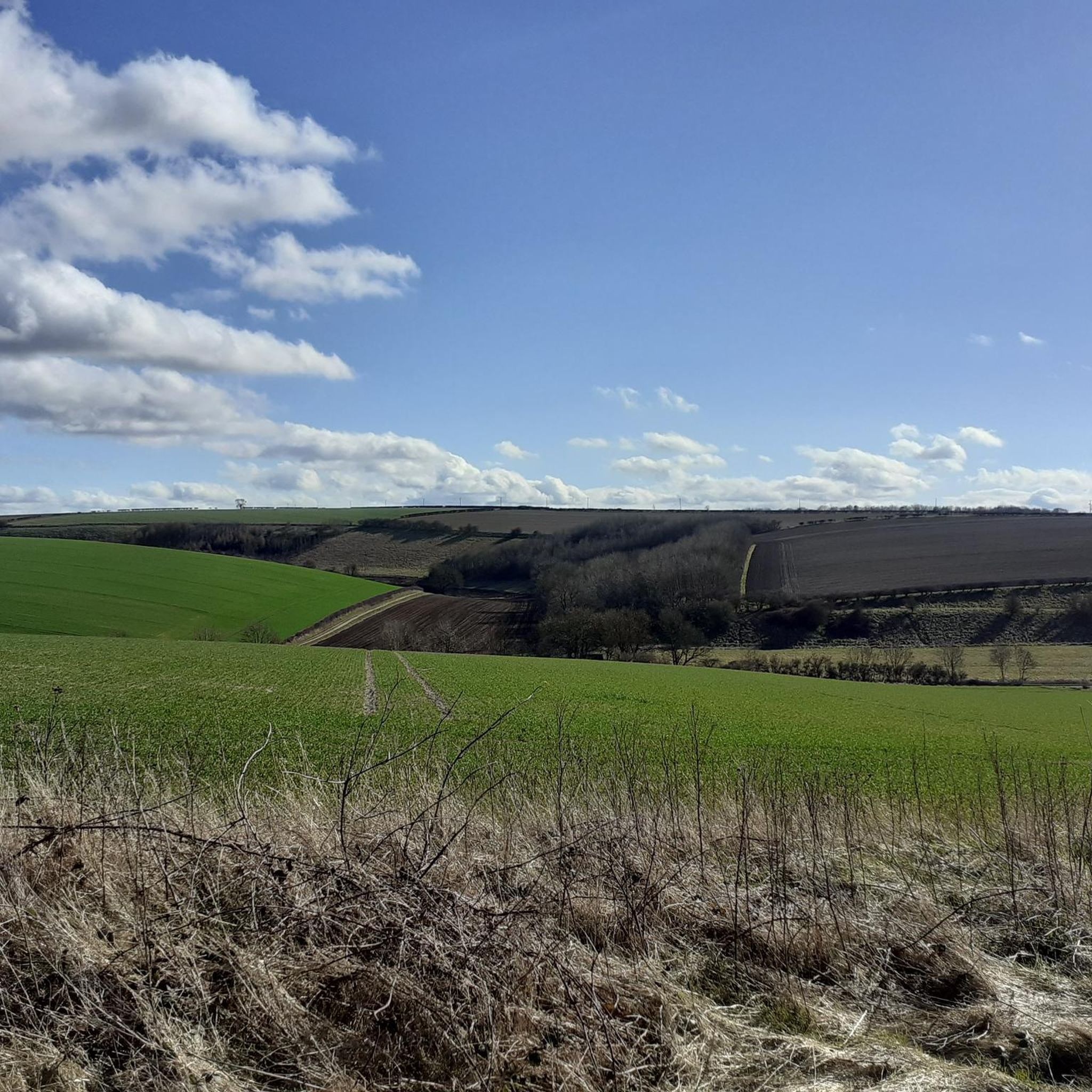
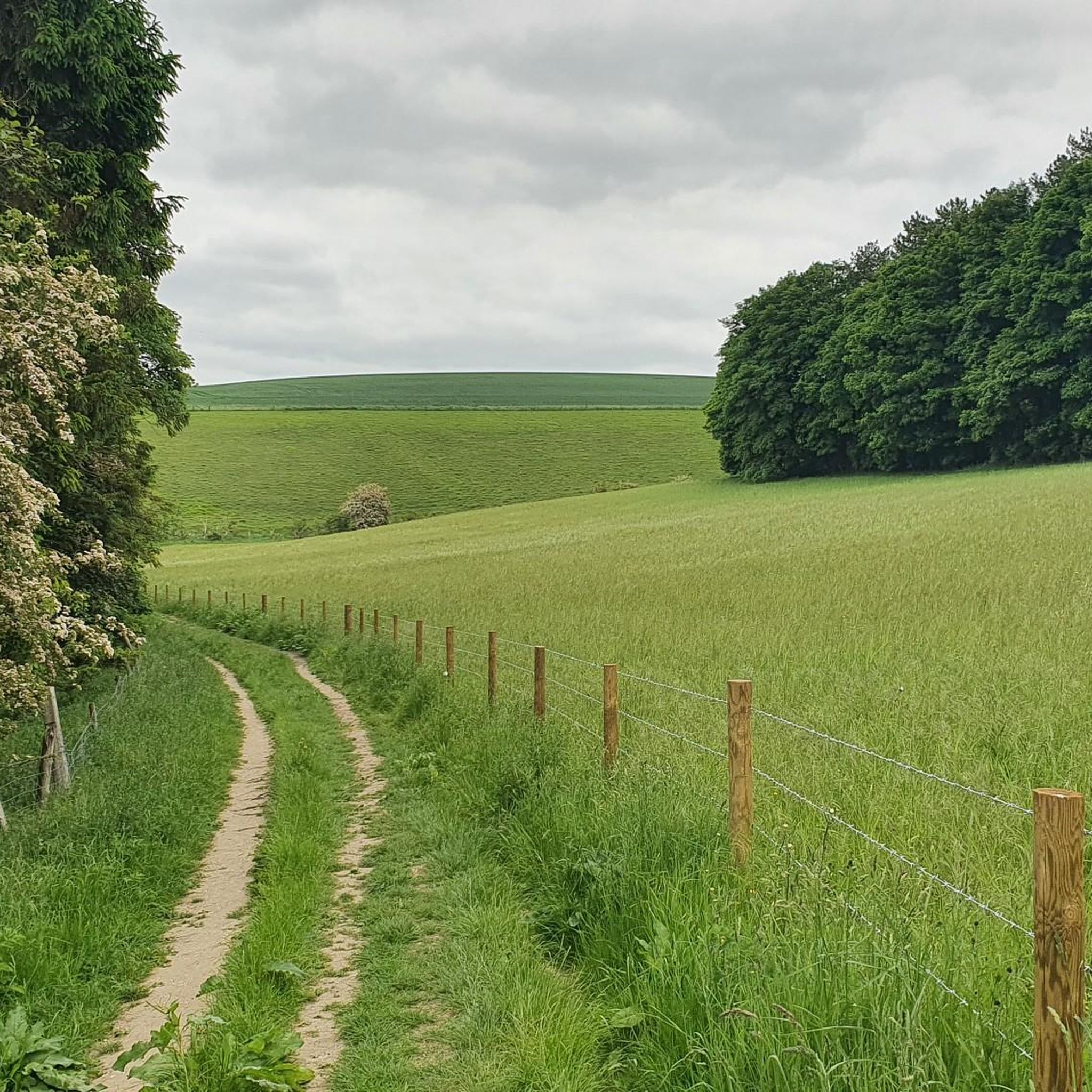
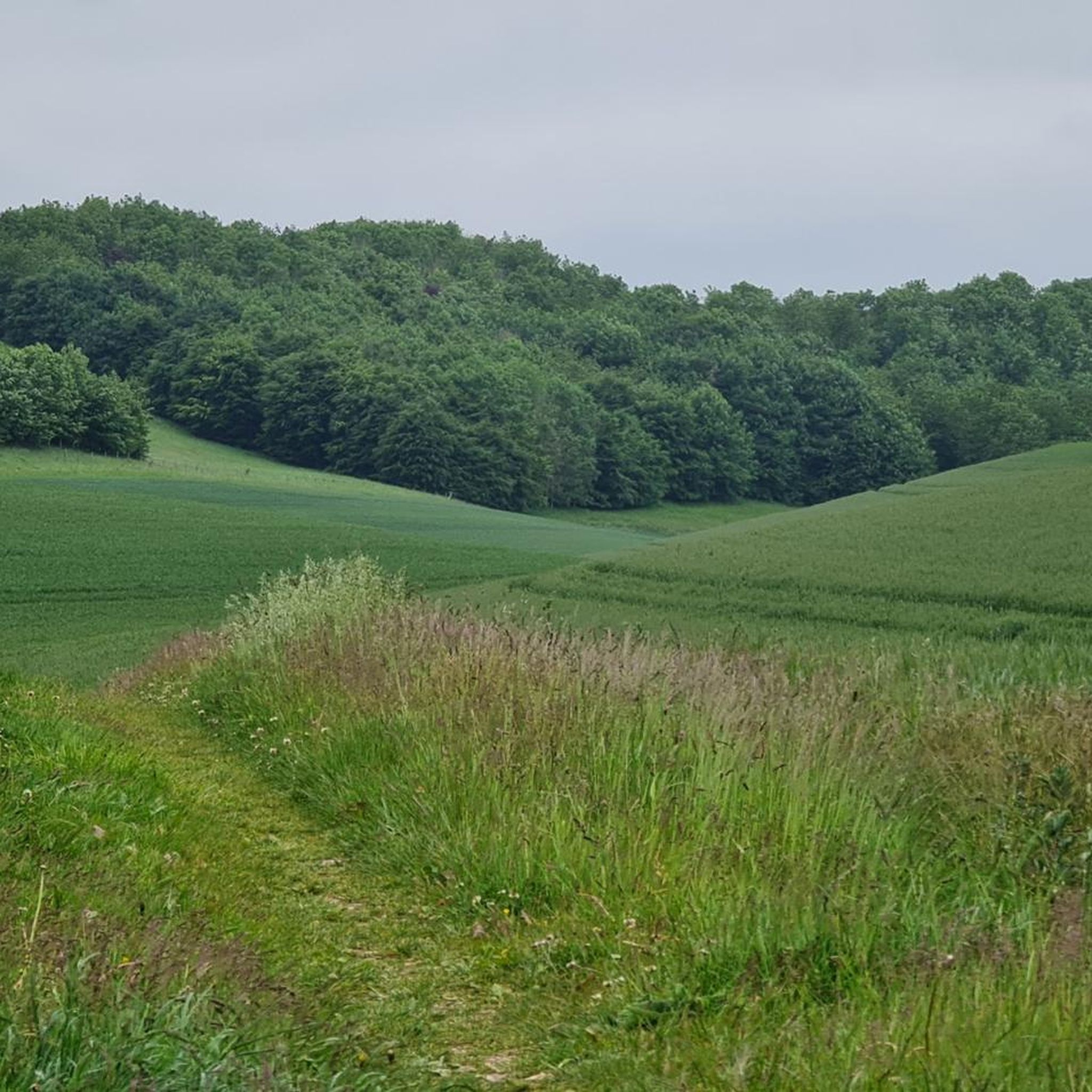
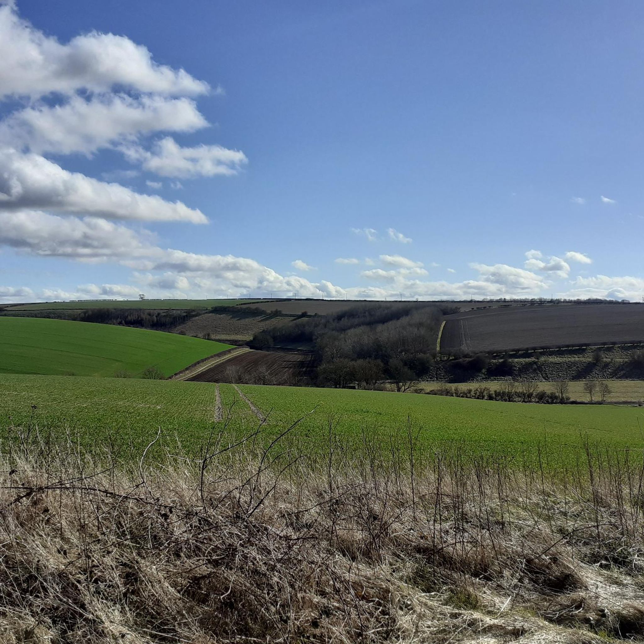
Road cycling routes around Sancton traverse the gently rolling agricultural landscapes of the Yorkshire Wolds. The area is characterized by quiet country roads, open fields, and moderate elevation changes, providing a varied terrain for road cyclists. These routes often connect small villages and offer views of the surrounding rural scenery. The region's topography includes gradual ascents and descents, making it suitable for moderate road cycling.
Best road cycling routes around Sancton
- The most popular road cycling route is Brantingham Pond…
Last updated: July 4, 2026
5.0
(1)
65
riders
47.6km
02:01
180m
180m
Moderate road ride. Good fitness required. Mostly well-paved surfaces and easy to ride.
4.0
(3)
57
riders
53.8km
02:20
370m
370m
Moderate road ride. Good fitness required. Mostly well-paved surfaces and easy to ride.

Sign up for free
19
riders
97.4km
04:07
430m
430m
Moderate road ride. Good fitness required. Mostly well-paved surfaces and easy to ride.
15
riders
53.0km
02:13
330m
330m
Moderate road ride. Good fitness required. Mostly well-paved surfaces and easy to ride.
15
riders
39.4km
01:35
180m
190m
Moderate road ride. Great for any fitness level. Some segments of this route may be unpaved and difficult to ride.
Get access to more routes and recommendations from other explorers.
Sign up for free
Already have an account?
Our route recommendations are based on thousands of hikes, rides, and runs completed by other people on komoot.
Start today with a free account
Your next adventure awaits.
Login or Signup
Tips from the Community

Explore the history of the town's giant and search for the little mice!
0
0

Imposing Cathedral in a relatively small and cozy town
0
0

Really picturesque village, grab a coffee at South Cave serviced
0
0


Archetypal English village with its large village green surrounded by pretty stone houses and two pubs. The open beck runs in front of the houses in Eastgate, each with their own private bridge. The banks of the stream are planted with flowers. A large flat circular stone on the green known as the whipping stone is probably the base of the old market cross but rumour has it that a man was whipped to death here in 1624. https://www.newbaldparishcouncil.gov.uk/about-newbald/
1
0

Hornsea Mere is Yorkshire's largest freshwater lake. It was used as a base for the Royal Naval Air Service and then, latterly, for the Royal Air Force during the First World War.
0
0

Beverley Minster was constructed in the 13th century and holds the claim of one of the largest parish churches in England. It's a beautiful piece of architecture, often regarded as one of the most stunning Gothic buildings in Europe. Its stained-glass windows are renowned, with some dating back to the 14th century. I'd highly recommend taking a walk inside the building, which is open between 10am-4pm Monday to Saturday.
3
0

Hornsea Mere is the largest freshwater lake in Yorkshire. The mere was used as a base for the Royal Naval Air Service and then latterly, the Royal Air Force during the First World War.
0
0
Frequently Asked Questions
What is the general terrain like for road cycling around Sancton?
Road cycling routes around Sancton feature gently rolling agricultural landscapes of the Yorkshire Wolds. You'll find quiet country roads, open fields, and moderate elevation changes, providing a varied terrain suitable for road cyclists.
What is the typical difficulty level of road cycling routes in the Sancton area?
The routes around Sancton are primarily of moderate difficulty. They include gradual ascents and descents, making them suitable for cyclists looking for a balanced challenge rather than extreme climbs or flat, easy rides. There are no easy or difficult rated routes according to komoot data, only moderate ones.
How long are the road cycling routes near Sancton?
The road cycling routes around Sancton vary in length. For example, the North Newbald Village Green – Brantingham Pond loop from Sancton is about 24.6 miles (39.5 km), while the Trundlegate Summit – North Newbald Village Green loop from Sancton extends to approximately 60.5 miles (97.4 km).
Are there any circular road cycling routes available from Sancton?
Yes, many of the road cycling routes around Sancton are circular. Examples include the Brantingham Pond – North Newbald Village Green loop from Sancton and the Giant Bradley Statue – Market Weighton Town Centre loop from Sancton, allowing you to start and finish in the same location.
What kind of landmarks or attractions can I see along the road cycling routes near Sancton?
While cycling, you can encounter various points of interest. Routes might pass by natural monuments like Kiplingcotes Chalk Pit Nature Reserve or Drewton Wold Weir. You might also cycle past historical sites such as Beverley Minster or All Hallows Church, Goodmanham.
What do other road cyclists enjoy most about cycling in Sancton?
The area is highly rated by the komoot community, with an average score of 4.5 stars from over 4 reviews. Cyclists often praise the quiet country roads, the varied rolling terrain, and the scenic views of the surrounding rural landscapes.
Are there any family-friendly or traffic-free road cycling routes around Sancton?
The road cycling routes around Sancton primarily utilize quiet country roads. While not explicitly traffic-free, these roads generally have lower traffic volumes, making them more suitable for families or those preferring a quieter ride. However, always exercise caution and be aware of road conditions.
Where can I park my car when cycling in Sancton?
Specific parking information for cyclists in Sancton is not detailed in the route data. However, as a small village, you may find on-street parking or designated public parking areas. It's advisable to check local signage upon arrival.
What is the best season for road biking in Sancton?
The gently rolling landscapes of the Yorkshire Wolds are generally pleasant for cycling during spring, summer, and early autumn. These seasons typically offer more favorable weather conditions, though the quiet country roads can be enjoyed year-round with appropriate gear.
Are there any cafes or pubs along the road cycling routes near Sancton?
While specific cafes or pubs directly on the routes are not detailed, the routes often connect small villages. These villages, such as North Newbald, may offer local amenities where you can find refreshments. It's a good idea to plan your stops in advance.
What is the longest road cycling route available from Sancton?
The longest route listed is the Trundlegate Summit – North Newbald Village Green loop from Sancton, which covers approximately 60.5 miles (97.4 km) and includes a notable summit.
Can I access the road cycling routes around Sancton using public transport?
Information on specific public transport links for cyclists to Sancton is not readily available in the provided data. It is recommended to check local bus services or train connections to nearby towns and plan your journey accordingly, considering bike carriage policies.
What kind of elevation gains can I expect on road cycling routes near Sancton?
The routes feature moderate elevation changes. For instance, the Brantingham Pond – North Newbald Village Green loop from Sancton has an elevation gain of about 183 meters, while the longer Trundlegate Summit – North Newbald Village Green loop from Sancton involves around 434 meters of ascent.
Most popular routes around Sancton
Most popular attractions around Sancton

Get inspired with the komoot mobile app


Explore more
Browse the best Road cycling routes in other regions.
