The best walks and hikes around Walpertskirchen
4.4
(1498)
9,351
hikers
15
hikes
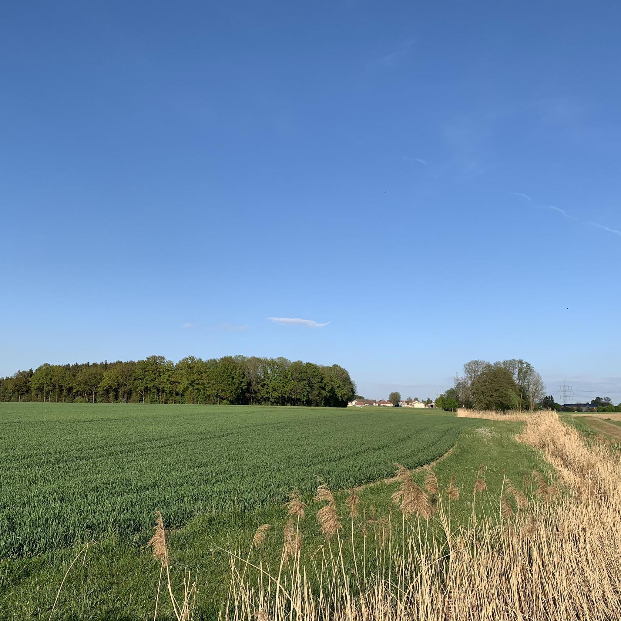
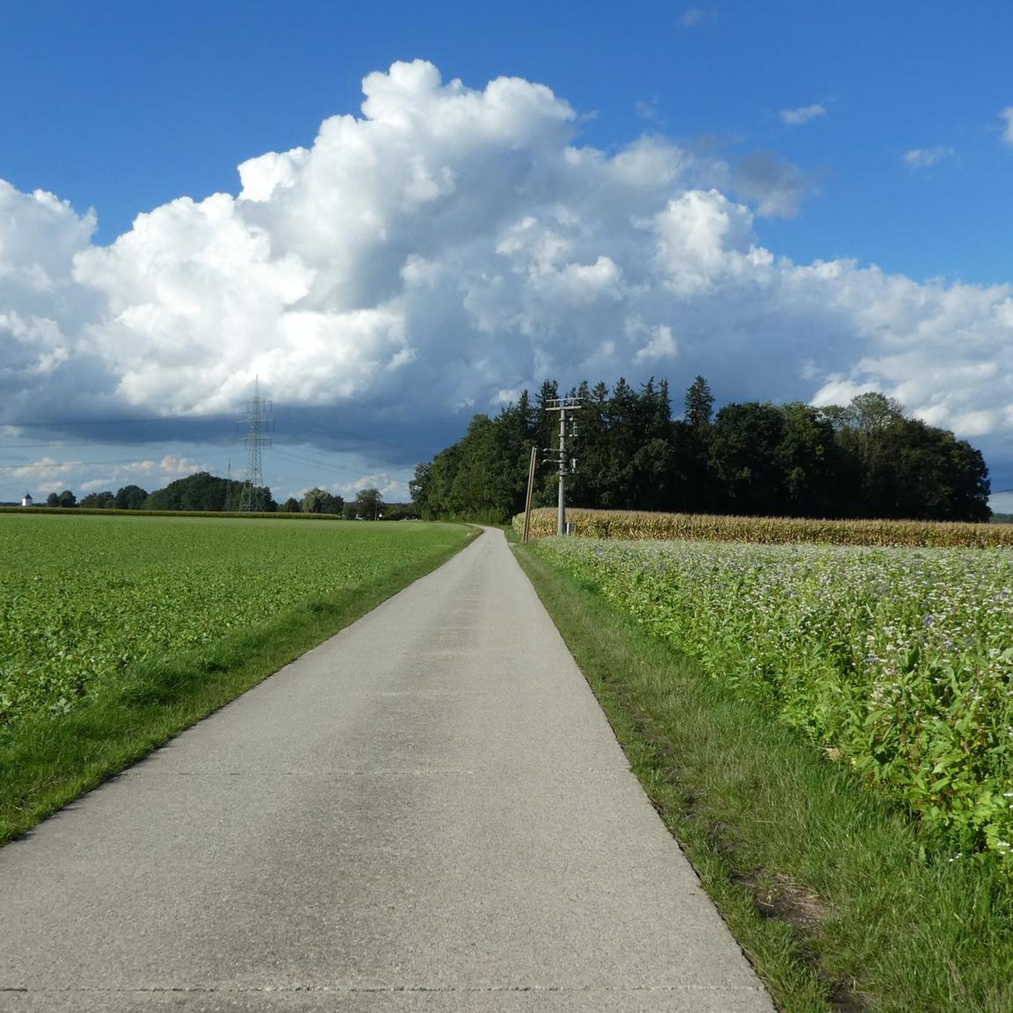
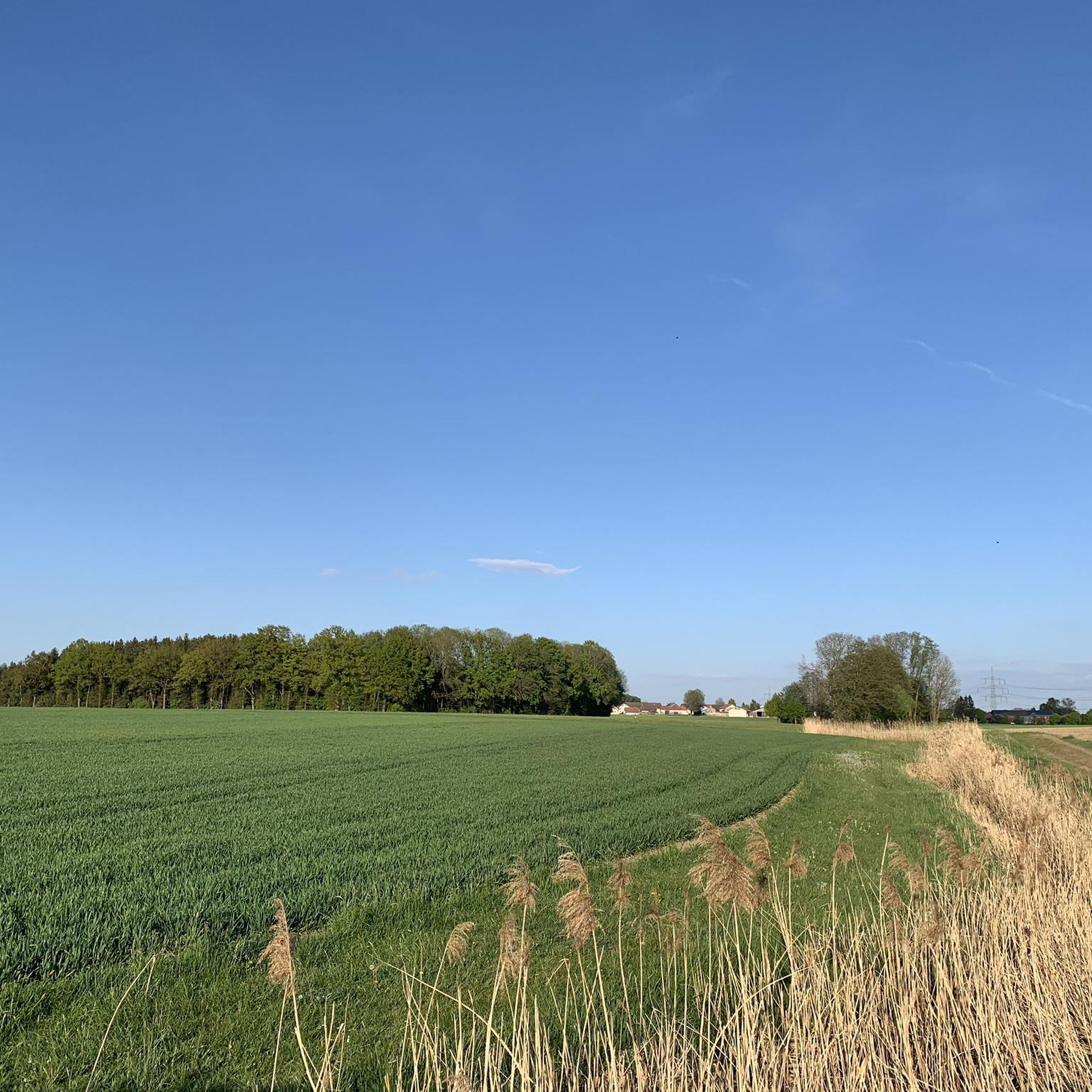
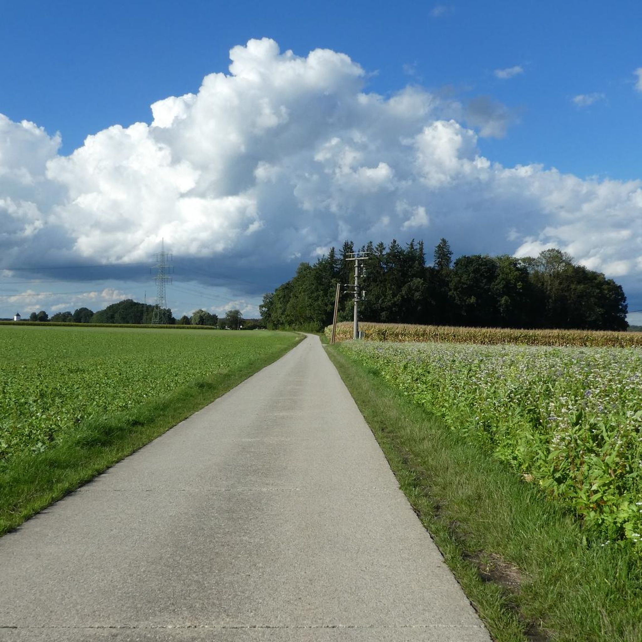
Hiking around Walpertskirchen offers an accessible yet scenic experience in the hilly foothills of the Alps, characterized by rolling, gentle terrain. The region features diverse landscapes including the Glonnbach Valley, Hammerbachtal, and extensive forests and meadows. Trails often lead past serene ponds and natural springs, providing varied points of interest. This area provides a network of paths suitable for different fitness levels.
Best hiking trails around Walpertskirchen
- The most popular hiking route is Forest Pond loop from Walpertskirchen, a…
Last updated: August 7, 2026
5.0
(2)
10
hikers
14.0km
03:43
120m
110m
Moderate hike. Good fitness required. Easily-accessible paths. Suitable for all skill levels.
4
hikers
4.27km
01:06
20m
20m
Easy hike. Great for any fitness level. Easily-accessible paths. Suitable for all skill levels.

Sign up for free
4
hikers
5.49km
01:25
30m
30m
Easy hike. Great for any fitness level. Easily-accessible paths. Suitable for all skill levels.
2
hikers
Hard hike. Very good fitness required. Easily-accessible paths. Suitable for all skill levels.
3.0
(1)
3
hikers
6.66km
01:43
20m
20m
Easy hike. Great for any fitness level. Easily-accessible paths. Suitable for all skill levels.
Get access to more routes and recommendations from other explorers.
Sign up for free
Already have an account?
Our route recommendations are based on thousands of hikes, rides, and runs completed by other people on komoot.
Start today with a free account
Your next adventure awaits.
Login or Signup
Tips from the Community

Directly on the cycle path there is a rest area with two benches and a table. The view of the pond no longer exists, as the vegetation is blocking this view.
0
0

From the beginning of April 2026: both bridges are no longer there, there are now stones in the stream to get across with dry feet.
0
0

A beautiful spot in the forest where you can also observe dragonflies. It's a shame that the peace was disturbed by a group of drummers, making it uninviting to linger.
0
0

I passed the bridge myself 3 times last year when it was wet: risk of falling
0
0


Nice design of the breakpoint - exemplary.
0
0

According to legend, after the Battle of Hohenlinden on December 3, 1800, a mounted soldier fled from the victorious French into the forest. On the swampy forest floor, horse and rider threatened to sink, but were miraculously saved. A spring gushed out where the wildly kicking horse hit solid ground. The rider wrote down the story of his rescue and deposited it in a hollow log in the clearing. The water from the spring has been considered healing ever since.
3
0
Frequently Asked Questions
How many hiking trails are available around Walpertskirchen?
Walpertskirchen offers a wide network of paths, with over 750 hiking routes recorded on komoot. These range from easy strolls to more challenging options, catering to various fitness levels.
What kind of landscapes can I expect to see while hiking in Walpertskirchen?
The region is characterized by its rolling, gentle hills in the foothills of the Alps, offering picturesque views. You'll encounter diverse landscapes including the tranquil Glonnbach Valley, the charming Hammerbachtal, and extensive areas of lush forests and meadows. Many trails also lead past serene ponds and natural springs.
Are there easy hiking trails suitable for beginners or those looking for a relaxed walk?
Yes, Walpertskirchen has numerous easy trails. Over 500 routes are classified as easy. For instance, the Hiking loop from Walpertskirchen is an easy 6.6 km trail that takes about 1 hour 42 minutes to complete, offering gentle gradients through the local landscape.
Are there any family-friendly hiking options in Walpertskirchen?
Absolutely. The region offers shorter loops, some as brief as 3 km, which are suitable for families, even with strollers. The "Naturlehrpfad Walpertskirchen" (Walpertskirchen Nature Trail) is particularly recommended for families with children, featuring engaging stations about local animal and plant life.
What is the best time of year to go hiking in Walpertskirchen?
The best times for hiking in Walpertskirchen are generally spring and autumn. During these seasons, the weather is mild, and the natural scenery is at its most vibrant. Spring brings blooming wildflowers, while autumn transforms the landscape with warm red and gold foliage.
Are there any circular hiking routes in the area?
Yes, many of the trails in Walpertskirchen are circular routes. An example is the Forest Pond loop from Walpertskirchen, a moderate 15.9 km path that leads past serene water bodies and through varied terrain, taking approximately 4 hours 5 minutes.
What interesting natural features or landmarks can I discover along the trails?
Walpertskirchen's trails often lead to unique natural features. You can explore serene water bodies like the Kronthaler Weiher or the Lüsser Weiher. The area is also home to culturally significant natural springs, such as the Müllner Bründl Spring, which is part of the longer Müller Bründl Spring – Müllner Bründl Sacred Spring loop.
What do other hikers enjoy most about the trails in Walpertskirchen?
The hiking trails in Walpertskirchen are highly rated by the komoot community, with an average score of 4.4 stars from over 1,000 reviews. Hikers frequently praise the diverse and accessible trail network, the picturesque natural scenery, and the opportunities to experience local flora and fauna.
Are there any longer or more challenging hikes for experienced hikers?
Yes, for those seeking a greater challenge, there are more strenuous options. The Müller Bründl Spring – Müllner Bründl Sacred Spring loop from Walpertskirchen is a difficult 21.9 km trail that leads through hilly foothills and past natural springs, typically completed in about 5 hours 47 minutes.
Is there public transport access to hiking trailheads in Walpertskirchen?
While Walpertskirchen is well-suited for outdoor activities, specific public transport connections directly to all trailheads can vary. It's advisable to check local bus schedules or regional train connections to Walpertskirchen itself, and then plan your route from the village center.
Are dogs allowed on the hiking trails in Walpertskirchen?
Generally, dogs are welcome on hiking trails in Walpertskirchen. However, it's always recommended to keep your dog on a leash, especially when passing through agricultural areas, near livestock, or in nature protection zones, to ensure the safety and enjoyment of all trail users and wildlife.
Are there any viewpoints or panoramic spots along the hikes?
While Walpertskirchen itself is in the gentle foothills, the region's varied terrain offers charming views, particularly through the Glonnbach Valley and Hammerbachtal. For magnificent panoramic views of the surrounding Alpine foothills, you might consider starting a hike from the nearby Schloss Hohenwaldeck, which is known for its scenic circular routes.
Most popular routes around Walpertskirchen
Most popular attractions around Walpertskirchen

Get inspired with the komoot mobile app


Explore more
Browse the best Hikes in other regions.
