The best road cycling routes around Wallertheim
4.4
(319)
4,826
riders
215
rides
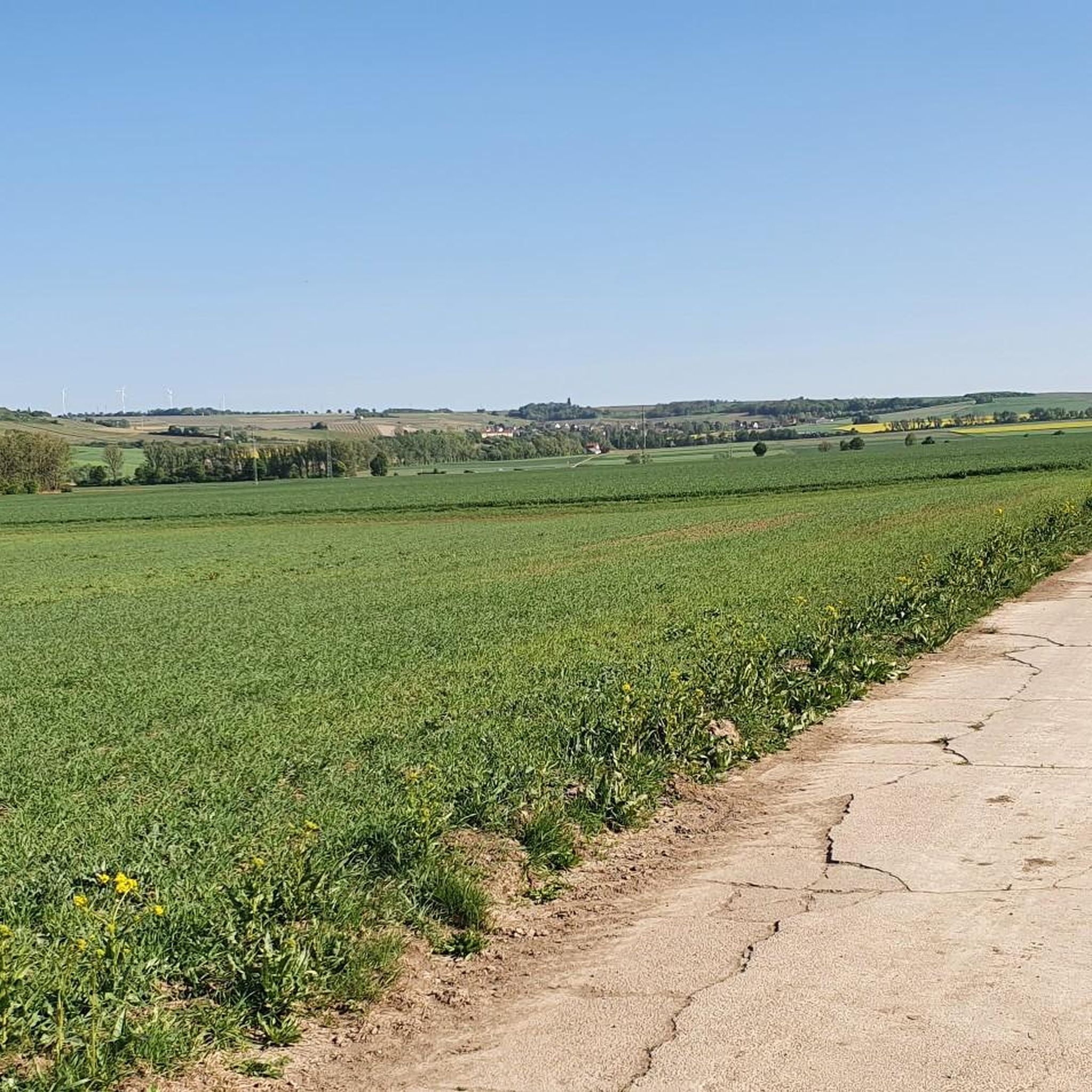
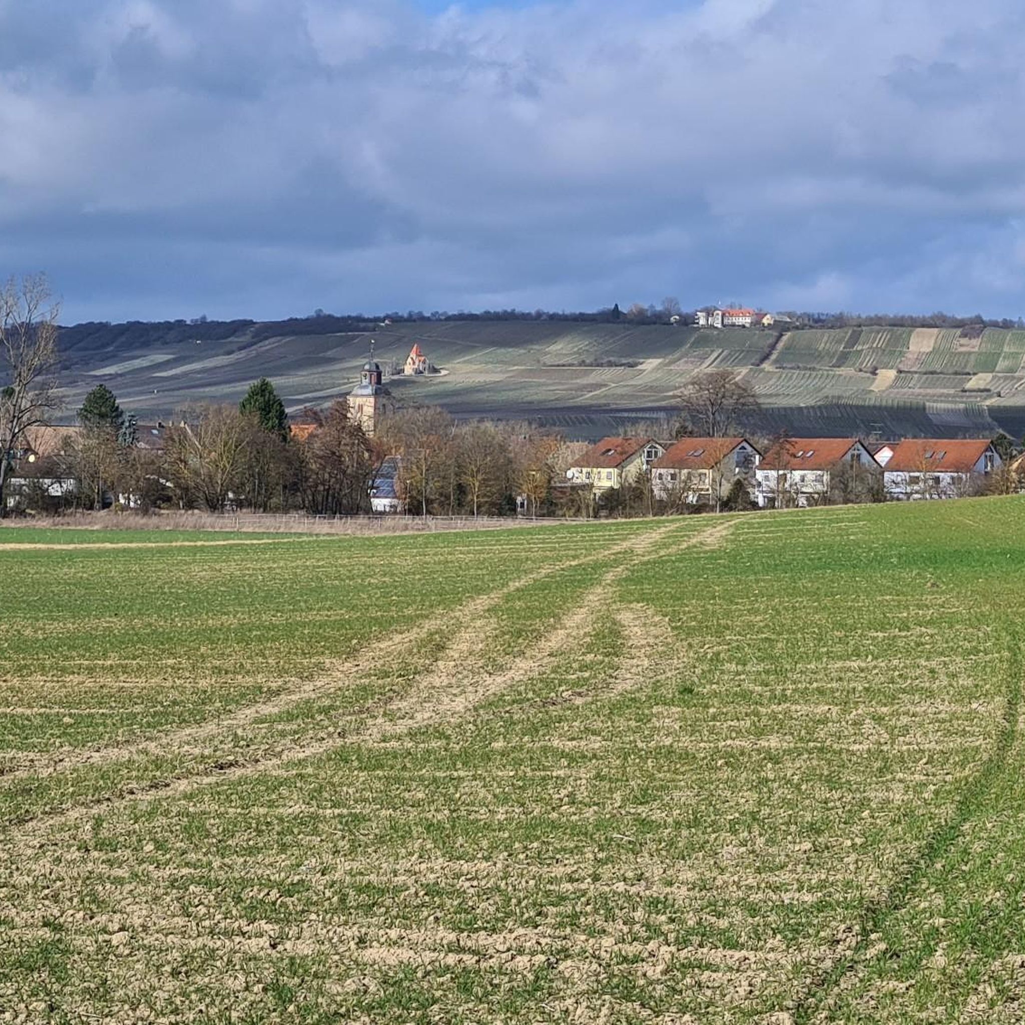
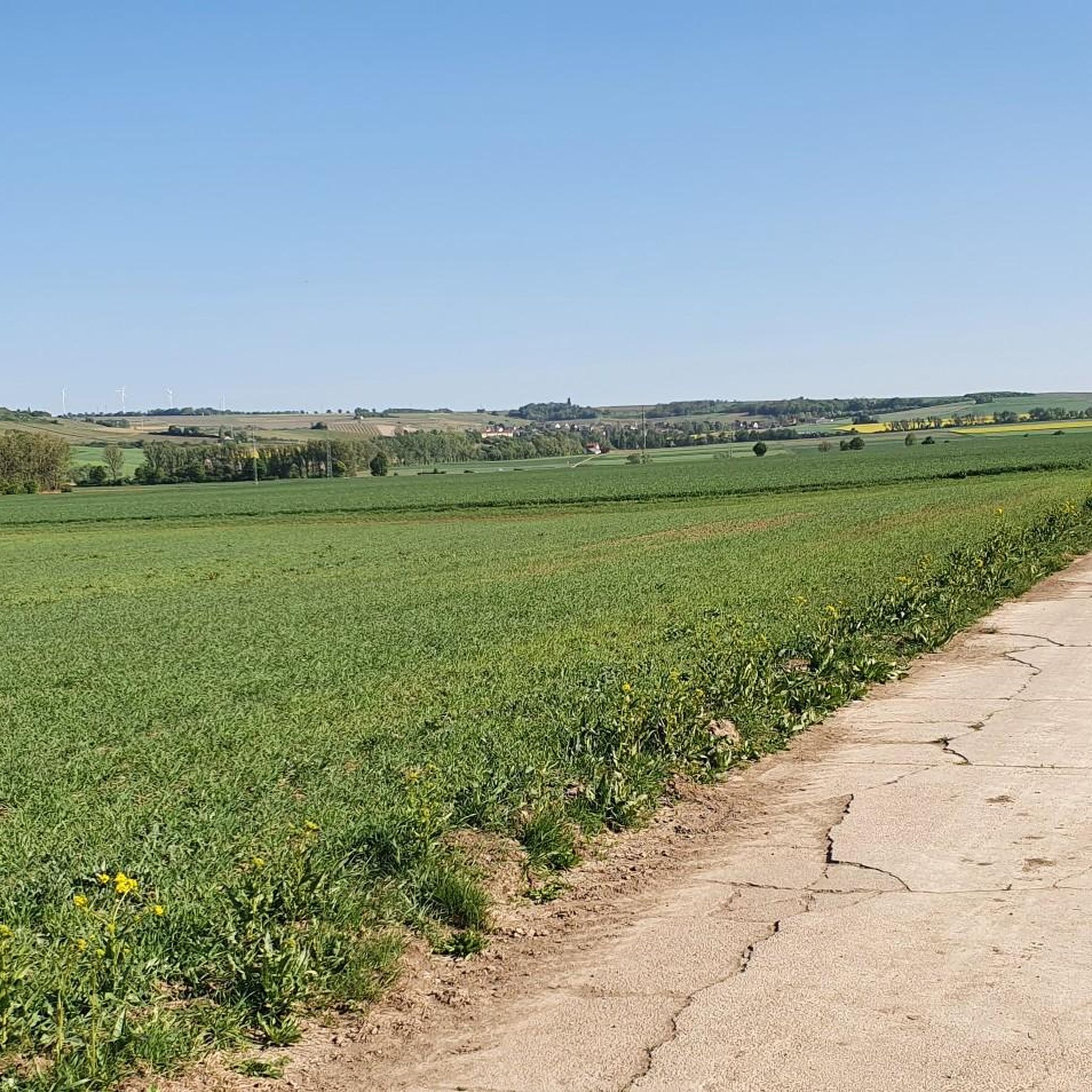
Road cycling around Wallertheim offers routes through Germany's largest wine-growing district, Rheinhessen. The region features gently rolling vineyards and picturesque valleys, providing a scenic backdrop for rides. Wallertheim is situated on the edge of the Rheinhessen hills, characterized by an undulating topography with varying elevations. The landscape includes the Wißberg mountain and is traversed by the Wiesbach river, contributing to diverse cycling terrain.
Best road cycling routes around Wallertheim
- The most popular road cycling route is Flonheim – Tiefenthaler Höfchen…
Last updated: October 18, 2026
4.8
(6)
86
riders
57.6km
02:29
450m
450m
Moderate road ride. Good fitness required. Mostly well-paved surfaces and easy to ride.
4.0
(1)
66
riders
152km
06:41
650m
650m
Hard road ride. Very good fitness required. Some segments of this route may be unpaved and difficult to ride.

3.8
(17)
45
riders
43.5km
01:49
150m
150m
Easy road ride. Great for any fitness level. Mostly well-paved surfaces and easy to ride.
23
riders
75.5km
03:24
700m
700m
Moderate road ride. Good fitness required. Mostly well-paved surfaces and easy to ride.
3.8
(4)
26
riders
Easy road ride. Great for any fitness level. Mostly well-paved surfaces and easy to ride.
Get access to more routes and recommendations from other explorers.
Already have an account?
Our route recommendations are based on thousands of hikes, rides, and runs completed by other people on komoot.
Start today with a free account
Your next adventure awaits.

Tips from the Community

Beautiful cycle paths along the Rhine
0
0

One of the oldest medieval stone bridges in Germany. The short stop is worthwhile for anyone who wants to discover a piece of history on their bike tour.
3
0

Wide street with views and top surface
0
0

The new Drusus Bridge, still visible today, was built 100 years later under Archbishop Willigis (975-1011). This bridge was destroyed by the French in 1689. It was rebuilt by 1772. In March 1945, a special command blew up the bridge arch in front of the advancing troops of the Allies. Today, the 1000-year-old Drusus Bridge, in new splendor, once again shapes the cityscape of Bingen.
1
0
The Drusus Bridge owes its name to the Roman general Drusus, who is said to have built the first wooden bridge over the Nahe. It probably originated in the decade before Christ's birth, but was probably in a different location. At that time, Drusus fortified the left bank of the Rhine border of the Roman Empire by building fortifications and may have had a convenient path built across the Nahe. The wooden bridge was destroyed in 70 AD. The current stone bridge is a construction from the 11th century.
2
0

Beautiful place, beautifully done
0
0

The Mainz South Bridge (also known as the Mainz-South Railway Bridge, and at times as the Mainz-Gustavsburg Railway Bridge) is a railway bridge on the Mainz–Frankfurt railway line, spanning the Rhine at river kilometer 496.4 and connecting Mainz in Rhineland-Palatinate with Gustavsburg in Hesse. A footbridge attached to the north side of the bridge allows pedestrians and cyclists to cross the river.
19
2
Frequently Asked Questions
How many road cycling routes are available around Wallertheim?
There are over 200 road cycling routes around Wallertheim, providing a diverse range of options for cyclists. These routes are highly rated by the komoot community, with an average score of 4.5 stars from over 230 reviews.
What is the terrain like for road cycling in Wallertheim?
Wallertheim is situated in the Rheinhessen hills, characterized by gently rolling vineyards and an undulating topography. This means you can expect a 'lively UP and DOWN' experience, with varying elevations that make for engaging rides through picturesque landscapes.
Are there road cycling routes suitable for beginners or those looking for an easy ride?
Yes, Wallertheim offers a good selection of routes for beginners. Approximately 40 of the available routes are classified as easy, such as the Gensingen–Sprendlingen cycle path – Wiesbach Bridge near Gensingen loop from Gau-Bickelheim, which leads through riverine landscapes.
Are there challenging road cycling routes for experienced cyclists?
Absolutely. For experienced cyclists seeking a challenge, there are 39 difficult routes available. An example is the Dike Path – View of Mainz loop from Gau-Bickelheim, a demanding 93.6-mile (150.7 km) path offering expansive views across the Rheinhessen landscape.
What scenic views or landmarks can I expect on road cycling routes around Wallertheim?
Road cycling routes in Wallertheim often wind through extensive vineyards and offer panoramic views. You can expect sights like the Wißberg mountain, the Wiesbach river, and various viewpoints. Notable landmarks include the Burgundy Tower in the 'Kachelberg' vineyard, offering fantastic views, and the Cuckoo Tower, Bornheim. The region's viticulture means many routes pass directly through beautiful cultivated landscapes.
What is the best time of year for road cycling in Wallertheim?
The spring and autumn seasons are particularly pleasant for cycling in Wallertheim. In spring, the vines begin to bud, and in autumn, the vineyards display vibrant colors, creating a beautiful backdrop for your rides through the wine country.
Are there circular road cycling routes available?
Yes, many of the road cycling routes around Wallertheim are designed as loops, allowing you to start and end your ride in the same location. An example is the moderate Flonheim – Tiefenthaler Höfchen loop from Gau-Bickelheim, which winds through the characteristic rolling vineyards.
Can I find places to stop for refreshments or accommodation along the routes?
As a prominent wine-growing region, Wallertheim is dotted with numerous wineries along its routes, providing opportunities to stop, taste local wines, and experience the cultural heritage. While specific cafes or accommodations are not detailed in the route descriptions, the presence of wineries suggests ample opportunities for breaks.
Are there family-friendly road cycling options in Wallertheim?
Yes, the region offers child-friendly tours through the vineyards, combining nature and culture. While specific road cycling routes are not exclusively designated as 'family-friendly,' the presence of easy routes and the general scenic, less trafficked nature of vineyard roads make many suitable for families.
What makes road cycling in Wallertheim unique?
Road cycling in Wallertheim is unique due to its setting in Germany's largest wine-growing district, Rheinhessen. The combination of gently rolling vineyards, the 'lively UP and DOWN' of the Rheinhessen hills, and the scenic Wiesbach river creates a distinctive and picturesque cycling experience.
What do other road cyclists enjoy most about the routes in Wallertheim?
The komoot community highly rates the routes in Wallertheim, with an average score of 4.5 stars. Cyclists often praise the varied terrain, the beautiful vineyard landscapes, and the well-developed network of paths that cater to different ability levels.
Most popular routes around Wallertheim
Most popular attractions around Wallertheim

Get inspired with the komoot mobile app


Explore more
Browse the best Road cycling routes in other regions.
