The best walks and hikes around Walkertshofen
4.6
(274)
1,151
hikers
20
hikes
Hiking around Walkertshofen offers diverse trails through the gentle rolling hills of the Stauden region in Bavaria, Germany. The landscape is characterized by forests, numerous streams, and open views. Situated within the Augsburg - Western Forests Nature Park, the area provides a serene backdrop for outdoor activities. The terrain includes varied elevations suitable for different fitness levels.
Best hiking trails around Walkertshofen
- The most popular hiking route is Maria Trost Chapel – Staudenbahn Railway loop from Walkertshofen, a 10.0…
Last updated: October 14, 2026
4.3
(3)
8
hikers
Easy hike. Great for any fitness level. Easily-accessible paths. Suitable for all skill levels.
4
hikers
10.6km
02:56
180m
180m
Moderate hike. Good fitness required. Easily-accessible paths. Suitable for all skill levels.

4.5
(2)
8
hikers
6.22km
01:41
80m
80m
Easy hike. Great for any fitness level. Easily-accessible paths. Suitable for all skill levels.
8
hikers
Easy hike. Great for any fitness level. Easily-accessible paths. Suitable for all skill levels.
4
hikers
4.87km
01:18
60m
60m
Easy hike. Great for any fitness level. Easily-accessible paths. Suitable for all skill levels.
Get access to more routes and recommendations from other explorers.
Already have an account?
Our route recommendations are based on thousands of hikes, rides, and runs completed by other people on komoot.
Start today with a free account
Your next adventure awaits.
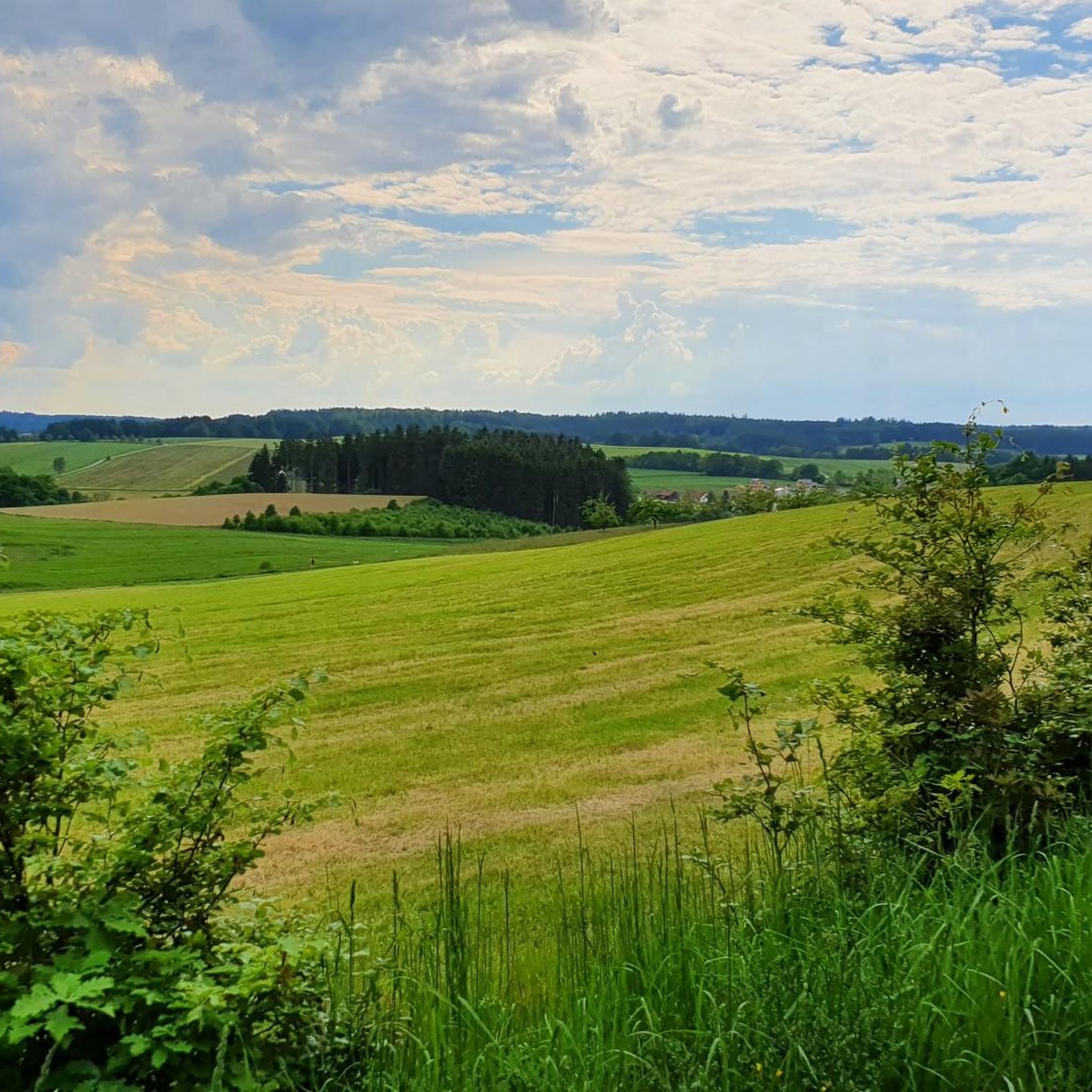
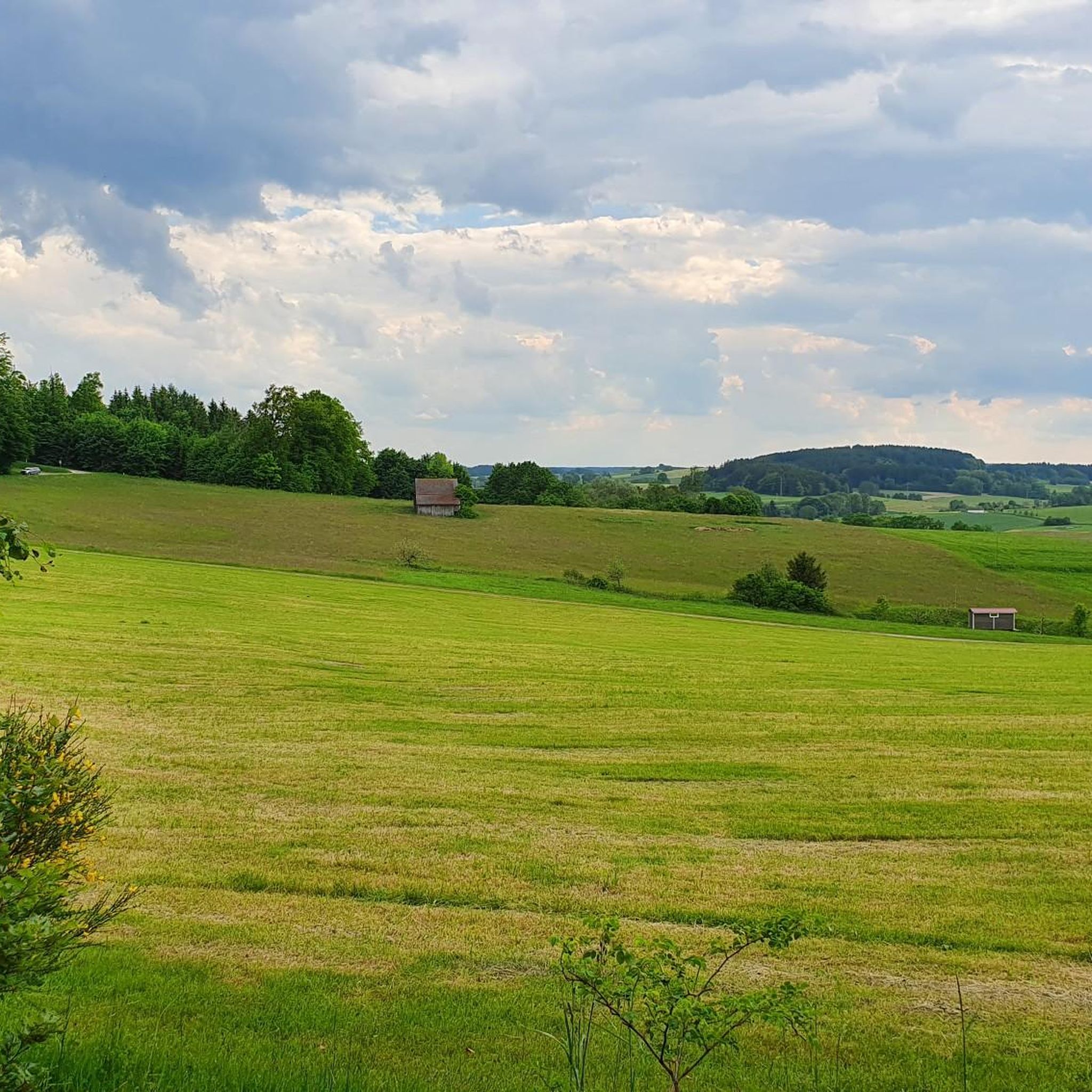
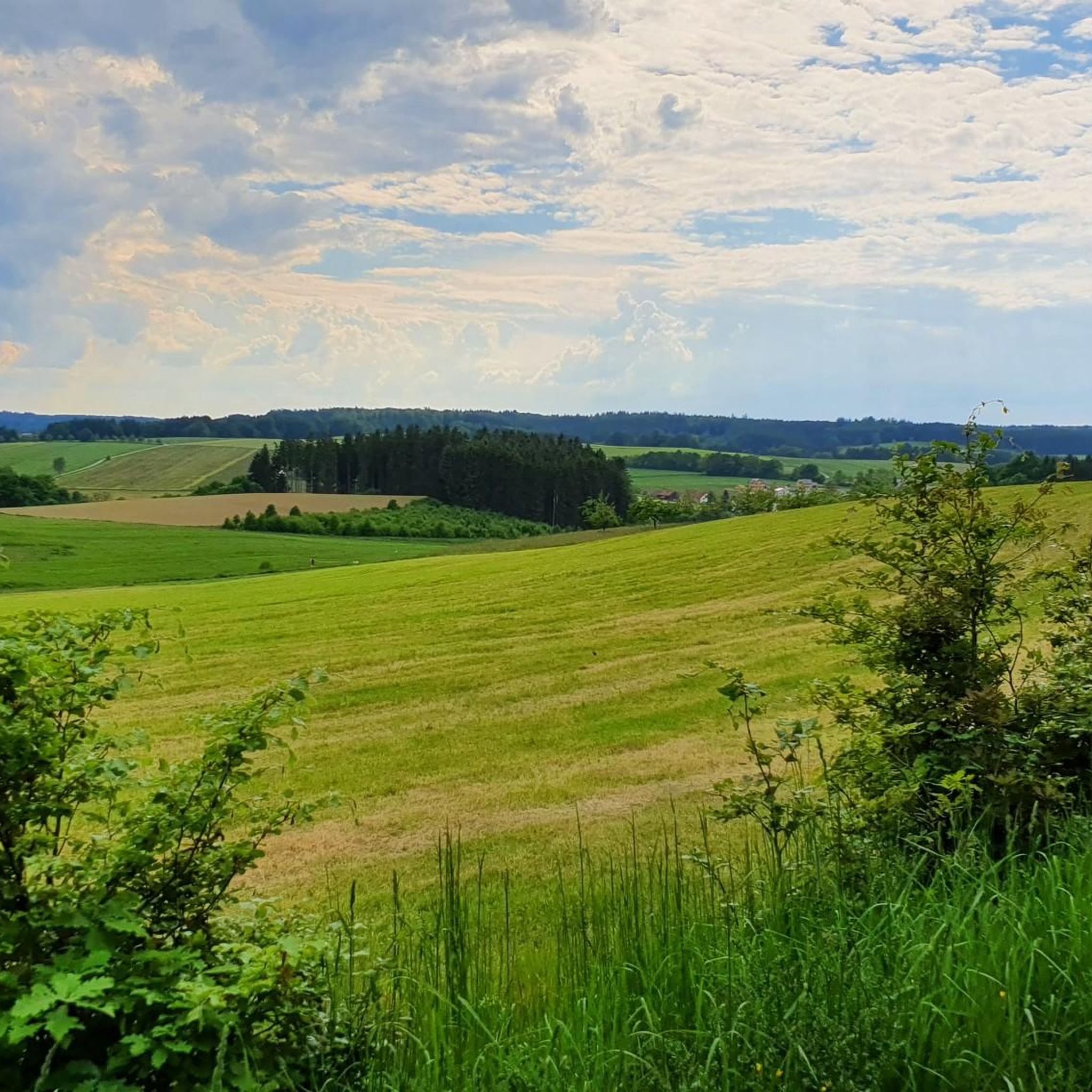
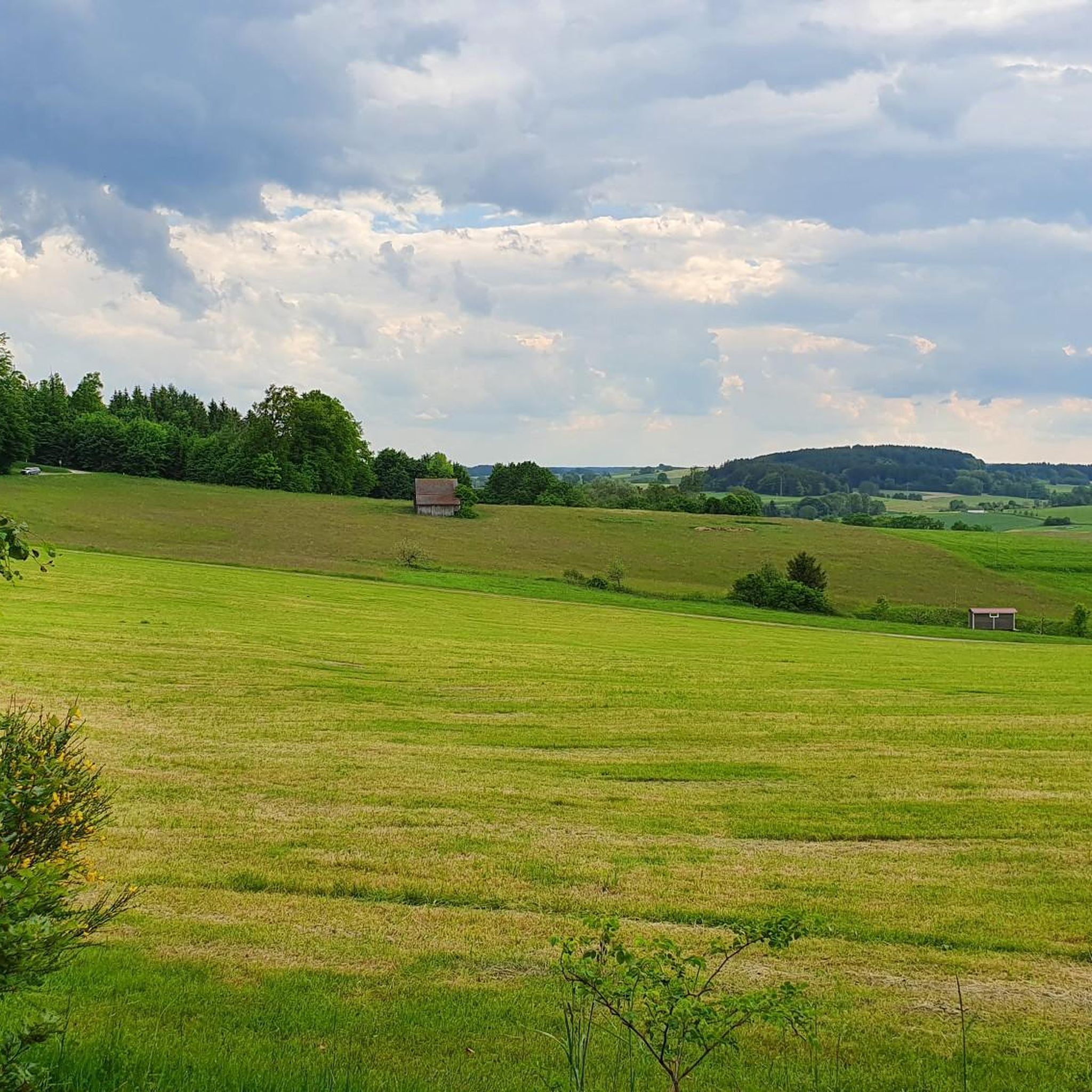

Tips from the Community

Pause and simply enjoy - that is not only the motto when you walk on the perennial meditation path, but is also really visible here. From this point you have a great view and it is ideal for a picnic or a short break.
0
0

Wonderful resting place especially on hot days
0
0

Beautiful view of the Allgäu mountains
0
0


Tread water and then enjoy the peace and quiet. Beautiful benches invite you to linger.
0
0
37 years ago, the District Administrator Dr. Frey Staudenkapelle was built on the edge of the forest south of Grimoldsried. It stands on a hill between the Neufnach and Schweinbach valleys, at one of the highest points in the Stauden.
2
0
A chapel in the middle of the forest, donated by a former district administrator
2
0

A nice place to rest and relax. There are water lilies and various animals to watch.
0
0
Frequently Asked Questions
How many hiking trails are available around Walkertshofen?
There are over 20 hiking routes around Walkertshofen, offering a variety of experiences through the picturesque Stauden region. These trails cater to different fitness levels, from easy strolls to more challenging ascents.
What kind of landscape can I expect when hiking in Walkertshofen?
Walkertshofen is nestled in the gentle rolling hills of the Stauden region, characterized by dense forests, tranquil streams, and open views. The area is part of the expansive Augsburg - Western Forests Nature Park, providing a serene backdrop of rich biodiversity and untouched natural landscapes.
What are the best times of year to go hiking in Walkertshofen?
The best times for hiking in Walkertshofen are generally spring and autumn. During these seasons, the weather is mild, and the natural scenery is at its most vibrant, with blooming flowers in spring or colorful deciduous forests in autumn.
Are there hiking routes suitable for families or beginners?
Yes, Walkertshofen offers several easy routes perfect for families or those new to hiking. For example, the Maria Trost Chapel – Forest Pond with Water Lilies loop from Obergessertshausen is an easy 2.4-mile (3.8 km) path featuring tranquil forest ponds, typically completed in about an hour.
What interesting natural features or landmarks can I see along the trails?
Hikers can discover various natural and historical points of interest. You might encounter tranquil spots like the Forest Pond with Water Lilies, or visit the Schnerzhofer Weiher. The region also features the Zusamquelle (Source of the Zusam) and the Landrat-Dr.-Frey-Staudenkapelle, which offers expansive views.
Are there any historical sites or castles nearby that I can visit?
Yes, the region around Walkertshofen is rich in history. You can explore the Celtic Square Enclosure Brennburg or visit several castles. Notable examples include Fugger Castle, Kirchheim, and Seyfriedsberg Castle Park.
What do other hikers enjoy most about the trails in Walkertshofen?
The trails in Walkertshofen are highly rated by the komoot community, with an average score of 4.6 stars from over 250 reviews. Hikers often praise the quiet woodlands, the varied terrain of the Stauden region, and the well-maintained paths that allow for immersive nature experiences.
Are there any circular hiking routes available?
Many of the hiking routes around Walkertshofen are designed as loops, allowing you to start and end at the same point. A popular moderate option is the Lenzenberg – Staudenbahn Railway loop from Walkertshofen, which covers about 6.8 miles (11 km).
Are the hiking trails in Walkertshofen dog-friendly?
Generally, the natural trails and forests around Walkertshofen are suitable for hiking with dogs. However, it's always recommended to keep dogs on a leash, especially in nature reserve areas and near wildlife, and to be mindful of local regulations.
Are there any trails that offer particularly scenic views or a tranquil experience?
For scenic views, the Landrat-Dr.-Frey-Staudenkapelle, situated on one of the highest points in the Stauden, offers expansive vistas. For a tranquil experience, the Stauden Meditation Path is specifically noted for its peaceful atmosphere and opportunities to simply enjoy nature.
What is the difficulty level of hiking trails in Walkertshofen?
The trails around Walkertshofen offer a range of difficulty levels. You'll find 11 easy routes for relaxed walks, 9 moderate routes with varied terrain and some ascents, and 1 more difficult route for experienced hikers seeking a greater challenge.
Can I find any water features or places to cool down along the hikes?
Yes, the region is characterized by numerous streams and tranquil forest ponds, such as the Forest Pond with Water Lilies. Additionally, the Kneipp Facility Staudenparadies Walkertshofen offers a refreshing stop for hikers, ideal for cooling down amidst nature.
Most popular routes around Walkertshofen
Most popular attractions around Walkertshofen

Get inspired with the komoot mobile app


Explore more
Browse the best Hikes in other regions.
