The best MTB trails around Fet
4.0
(15)
312
riders
56
rides
Mountain bike trails around Fet are characterized by a landscape shaped by the Glomma River and the eastern shore of Lake Øyeren, featuring the largest inland delta in Northern Europe. Beyond the riverine plains, the terrain transitions into rolling, forested hills. These areas offer varied ground conditions, from river-adjacent paths to moderate forest cover over gneiss bedrock. The region provides a diverse environment for mountain biking.
Best mountain bike trails around Fet
- The most popular mountain bike trail is Bingsfossen…
Last updated: October 2, 2026
25
riders
39.6km
03:18
490m
490m
Moderate mountain bike ride. Good fitness required. Advanced riding skills necessary.
10
riders
46.8km
02:50
480m
480m
Moderate mountain bike ride. Good fitness required. Suitable for all skill levels.

8
riders
35.4km
01:59
240m
240m
Easy mountain bike ride. Great for any fitness level. Suitable for all skill levels.
5.0
(1)
10
riders
33.0km
02:41
450m
450m
Moderate mountain bike ride. Good fitness required. Advanced riding skills necessary.
2.0
(1)
7
riders
21.0km
01:37
150m
150m
Moderate mountain bike ride. Great for any fitness level. Advanced riding skills necessary.
Get access to more routes and recommendations from other explorers.
Already have an account?
Our route recommendations are based on thousands of hikes, rides, and runs completed by other people on komoot.
Start today with a free account
Your next adventure awaits.
Tips from the Community

Surrounded by dense spruce forest, Breisjøen is a peaceful woodland lake in Romeriksåsen. Its quiet shoreline and clear waters make it a popular place to pause, enjoy nature and try your luck fishing with a valid local permit.
0
0
Trettsjøhytta is a popular hiking cabin on the shores of Trettsjøen. When staffed on selected weekends, it serves freshly made waffles, coffee and refreshments, while the nearby lean-to shelter, picnic tables and trail register make it a favourite stop for walkers exploring Romeriksåsen.
0
0

A lovely viewpoint overlooking Lake Langvannet, with peaceful water and forest scenery in every direction.
0
0

Quiet lake surrounded by forest: Elvåga is a peaceful spot to take a break or just enjoy the stillness.
0
0
This establishment is open on weekends: waffles and cinnamon buns to your heart's content.
0
0


The ball 🥎 both in GRV and MTB
0
0

Elvåga is a lake in Østmarka on the border between Lørenskog and Oslo municipalities. Elvåga has been used as drinking water since 1941 and supplies 10% of Oslo's population. In 1964 a 14 m high dam was built south of Turisthytte Mariholtet, separating the so-called Fri-Elvåga. In the northernmost area, separated by the dam, bathing and fishing is permitted; in the south, this is not permitted because it is used as a drinking water reservoir.
0
0
Frequently Asked Questions
How many mountain bike trails are available around Fet?
There are over 60 mountain bike trails around Fet recorded on komoot, offering a wide range of experiences for different skill levels. You'll find paths suitable for beginners, intermediate riders, and those looking for more challenging terrain.
What kind of terrain can I expect on mountain bike trails in Fet?
The terrain around Fet is quite varied. You'll encounter paths along the Glomma River and Lake Øyeren, characterized by riverine plains. Further inland, the landscape transitions to rolling, forested hills with moderate forest cover over gneiss bedrock. This provides a mix of smoother sections and more technical challenges with roots and rocks.
Are there mountain bike trails suitable for beginners in Fet?
Yes, Fet offers several trails suitable for beginners. There are 12 easy mountain bike routes available, often found closer to the water or in less hilly areas, providing a gentle introduction to the region's cycling opportunities.
Are there challenging mountain bike trails for experienced riders in Fet?
Absolutely. For experienced mountain bikers seeking a challenge, Fet has 11 difficult routes. These trails typically venture into the more rugged, forested uplands, offering greater elevation changes and more technical sections.
What are some notable natural features or landmarks I might see while mountain biking in Fet?
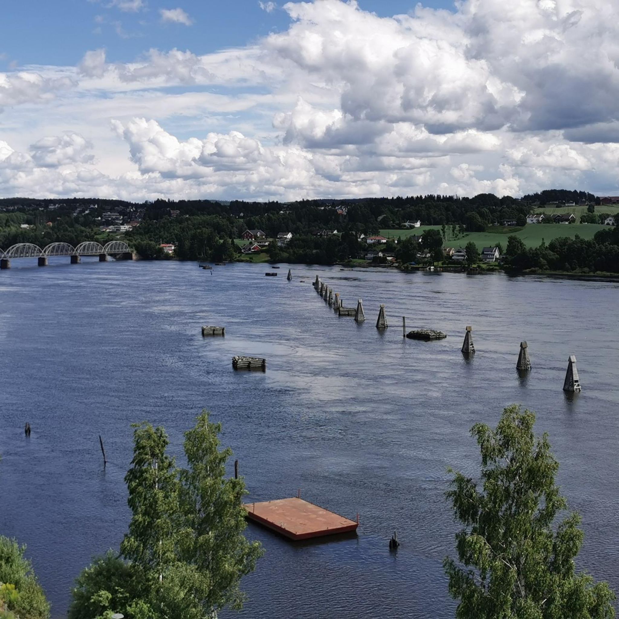
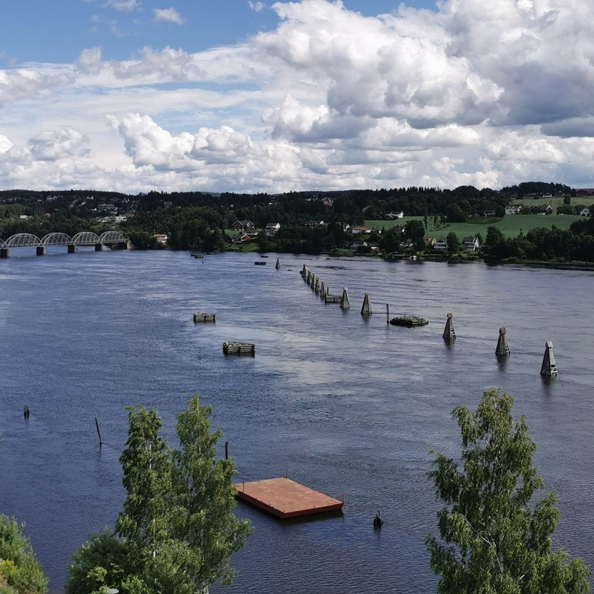
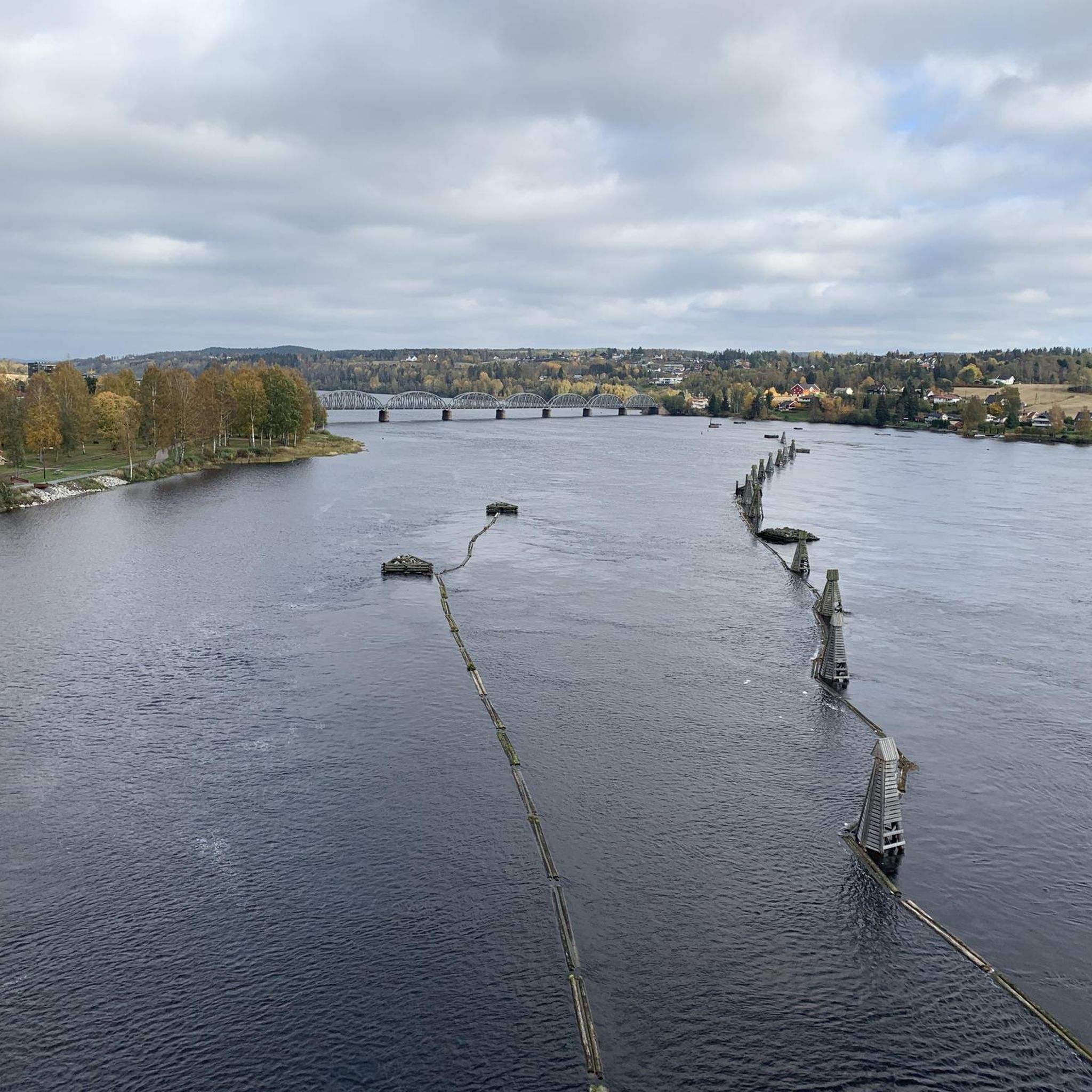
While mountain biking in Fet, you'll be riding through a landscape shaped by the Glomma River and Lake Øyeren, which features the largest inland delta in Northern Europe. You might encounter scenic views of the lake, especially from highlights like the Birdwatching Tower in Nordre Øyeren Nature Reserve. The forested hills also offer natural beauty. For a historical landmark, consider visiting the Fetsund Timber Booms, a preserved industrial heritage site along the Glomma River.
Are there any circular mountain bike routes in Fet?
Yes, many of the mountain bike trails in Fet are designed as circular routes, allowing you to start and end at the same point. Examples include the popular Bingsfossen – Jultonåsen loop from Sørumsand and the Glomma Bridge loop from Sagdalen.
What is the best time of year for mountain biking in Fet?
The best time for mountain biking in Fet is generally from spring through autumn when the weather is milder and the trails are dry. During winter, conditions can be challenging due to snow and ice, though some might enjoy fat biking on packed snow trails.
What do other mountain bikers say about the trails in Fet?
The mountain bike trails in Fet are highly rated by the komoot community, with an average score of 3.8 stars from over 10 reviews. Riders often praise the varied terrain, the scenic views of the Glomma River and Lake Øyeren, and the extensive network of paths through forested hills.
Are there any lakes I can bike past or near in Fet?
Yes, the region is rich with lakes. You can bike near or past several beautiful lakes, including Mønevann Lake and Elvåga Lake. The trails often provide scenic views of these water bodies, especially in the eastern parts of the former Fet municipality.
Are there any long-distance mountain bike routes in Fet?
Yes, Fet offers several longer routes for those looking for extended rides. For example, the Korpefjella – Brenneppåsen loop from Svingen is a moderate 30.3 miles (48.7 km) path, providing extensive riding through forested hills and open landscapes.
What is the typical duration for a mountain bike ride in Fet?
Ride durations vary significantly depending on the trail length and your pace. Moderate routes like the Bingsfossen – Jultonåsen loop from Sørumsand (25.2 miles / 40.5 km) typically take around 3 hours 27 minutes, while shorter loops can be completed in under 2 hours.
Most popular attractions around Fet

Get inspired with the komoot mobile app


Explore more
Browse the best MTB trails in other regions.
