The best mountain hikes around Strand
4.4
(9)
58
hikers
5
hikes
Mountaineering routes around Strand are characterized by rugged coastal mountains, deep fjords, and a landscape shaped by glacial activity. The region features a mix of exposed rock faces, forested valleys, and high-altitude plateaus. Significant elevation gains are common, offering challenging ascents and panoramic views over the surrounding terrain. This area provides diverse conditions for mountaineering, from demanding climbs to routes through varied natural environments.
Best mountaineering routes around Strand
- The most popular mountaineering route is View of Edlandsvatnet – Preikestolen…
Last updated: October 2, 2026
4.5
(4)
34
hikers
18.2km
06:14
630m
630m
Hard mountaineering route. Very good fitness required. Sure-footedness, sturdy shoes and alpine experience required.
5.0
(1)
9
hikers
4.45km
01:42
300m
300m
Easy mountaineering route. Great for any fitness level. Easily-accessible paths. Suitable for all skill levels.

4.0
(2)
6
hikers
4.17km
01:34
250m
250m
Hard mountaineering route. Great for any fitness level. Sure-footedness, sturdy shoes and alpine experience required.
4.0
(2)
7
hikers
4.14km
01:30
260m
260m
Hard mountaineering route. Great for any fitness level. Sure-footedness, sturdy shoes and alpine experience required.
2
hikers
6.66km
02:13
180m
180m
Moderate mountaineering route. Good fitness required. Mostly accessible paths. Sure-footedness required.
Our route recommendations are based on thousands of hikes, rides, and runs completed by other people on komoot.
Start today with a free account
Your next adventure awaits.
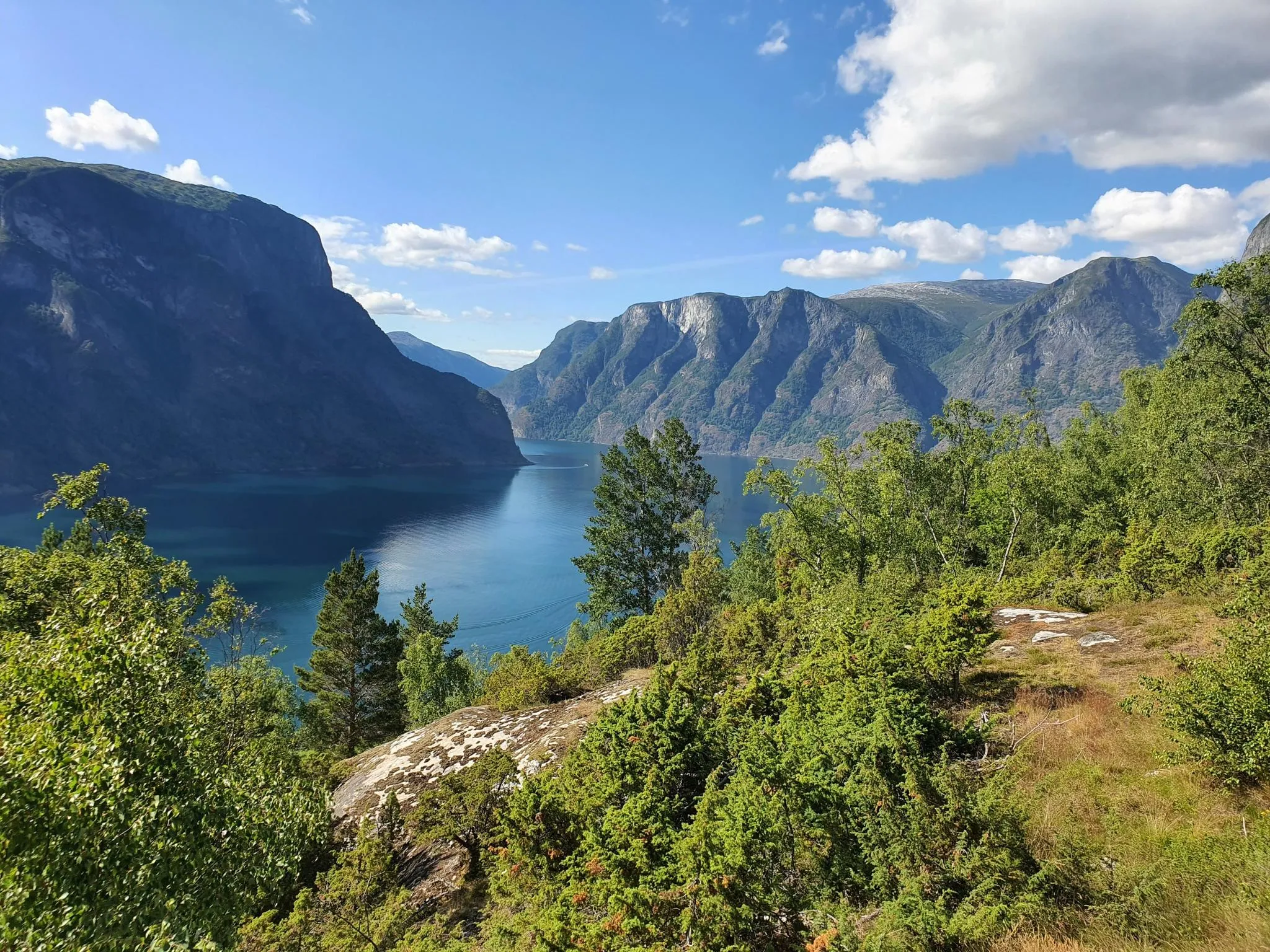
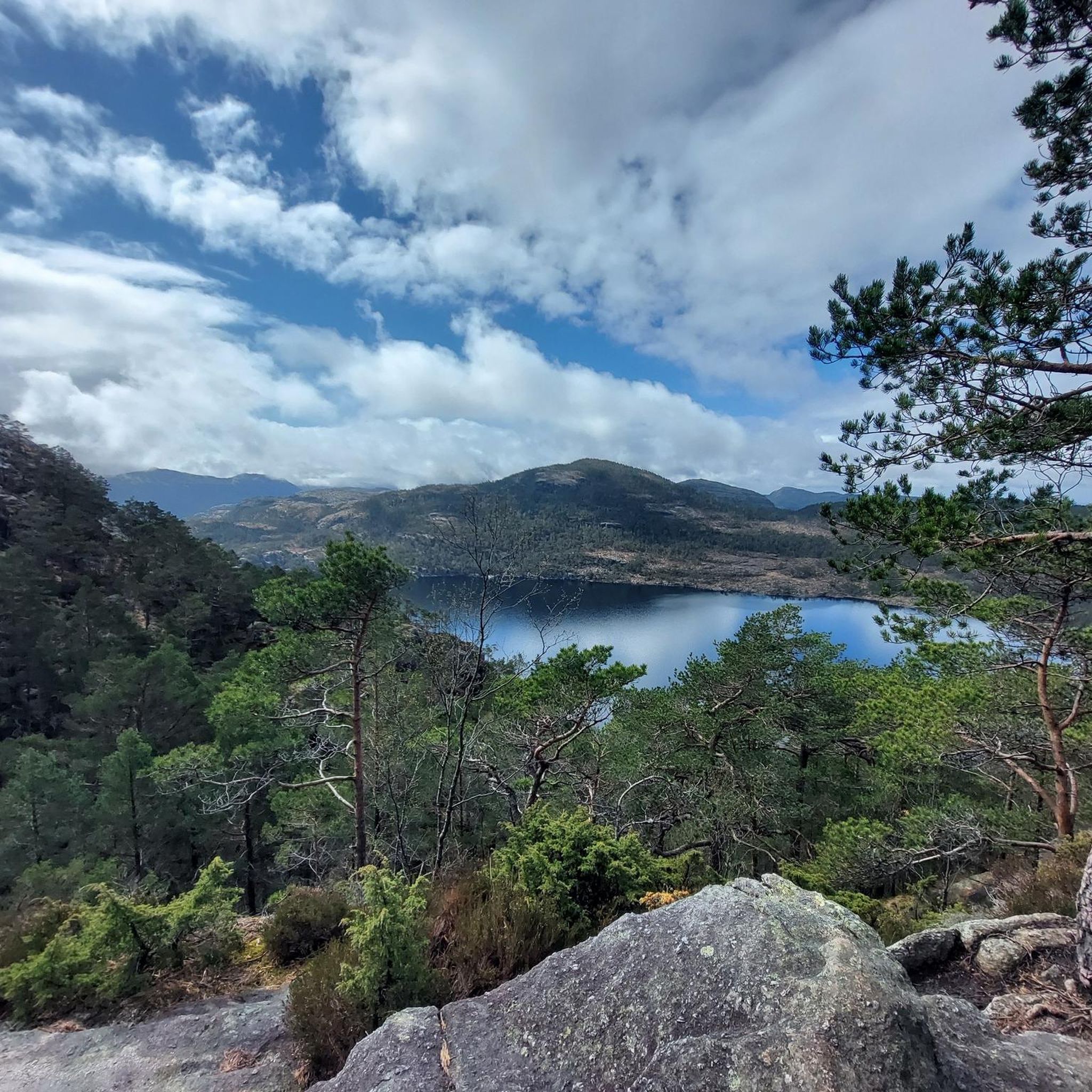
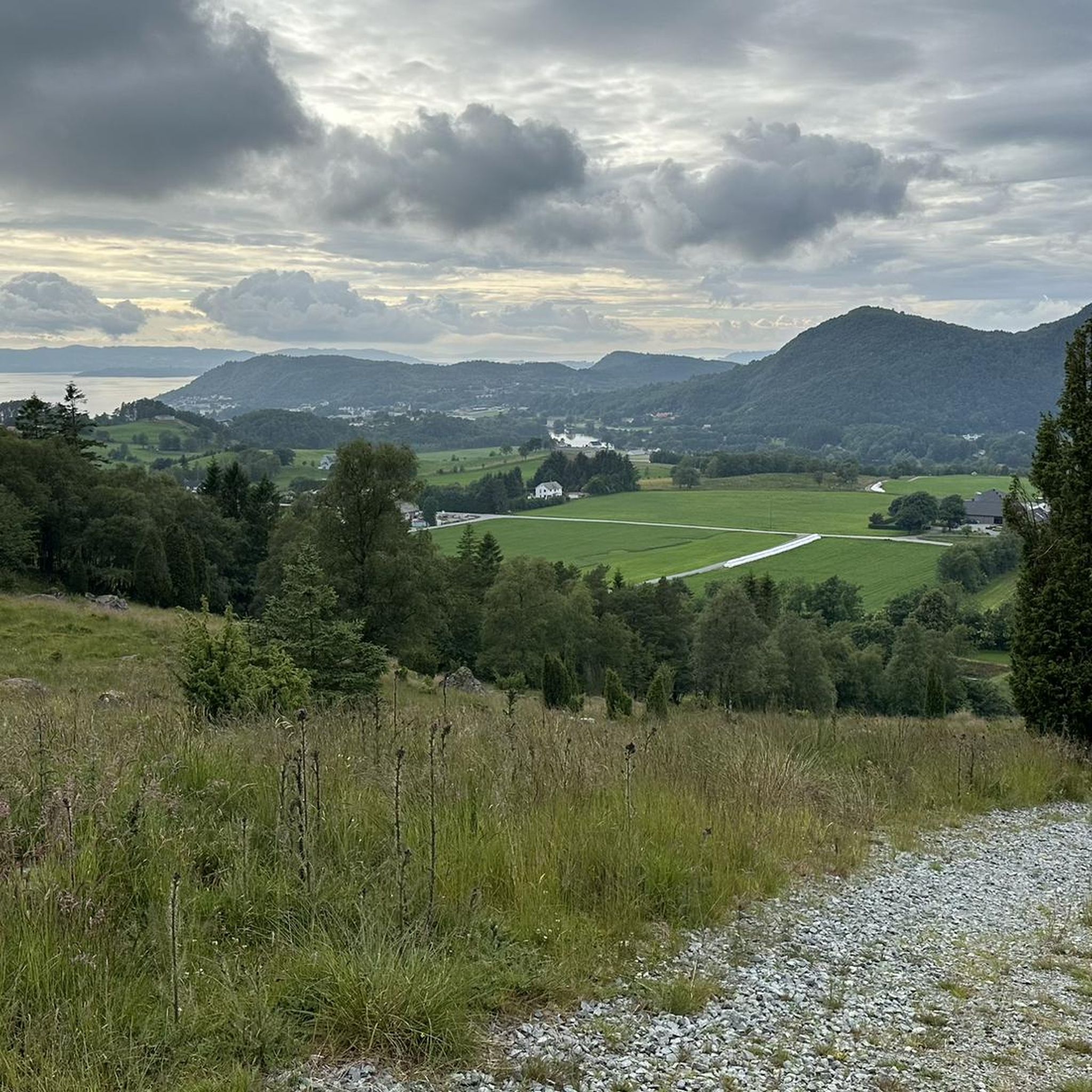
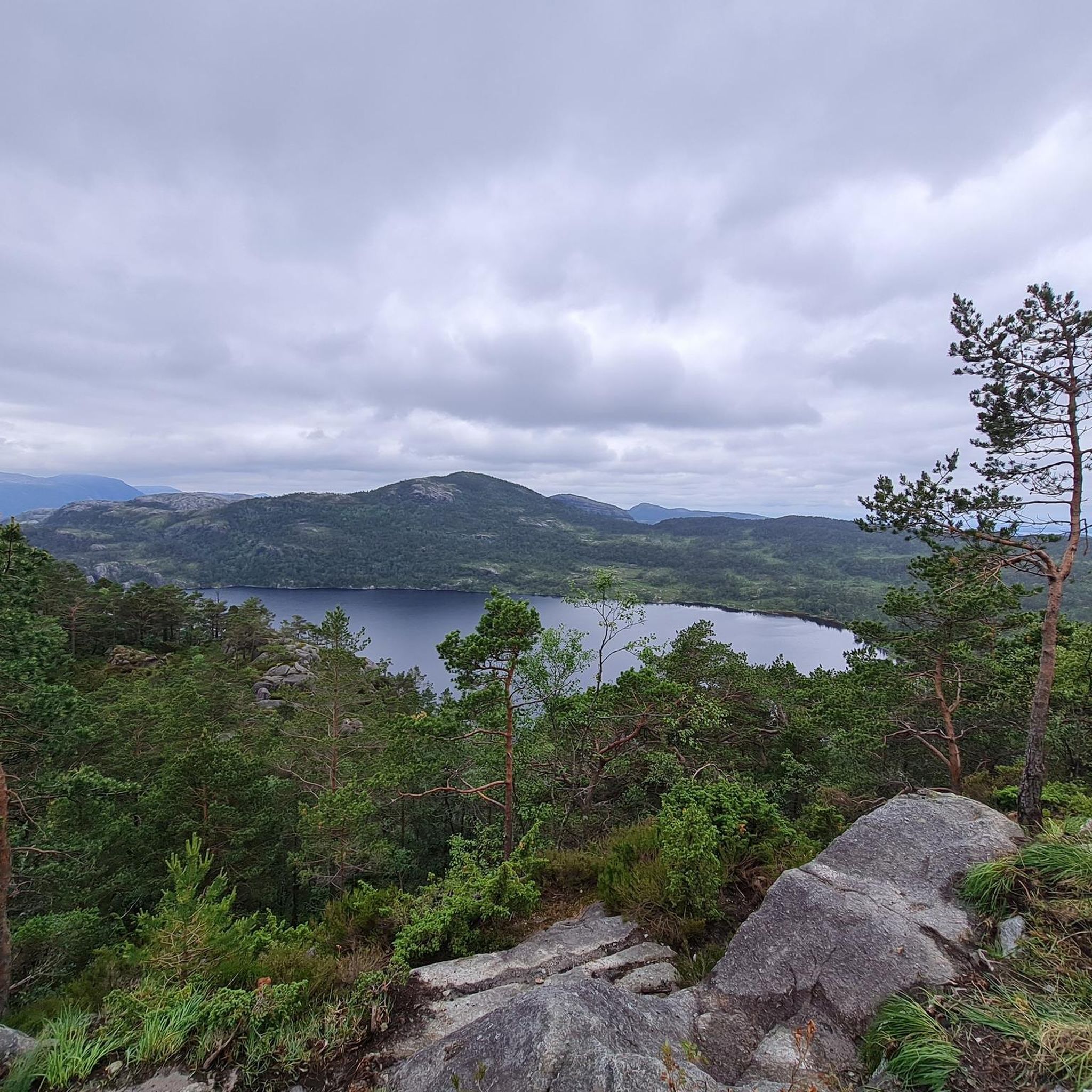
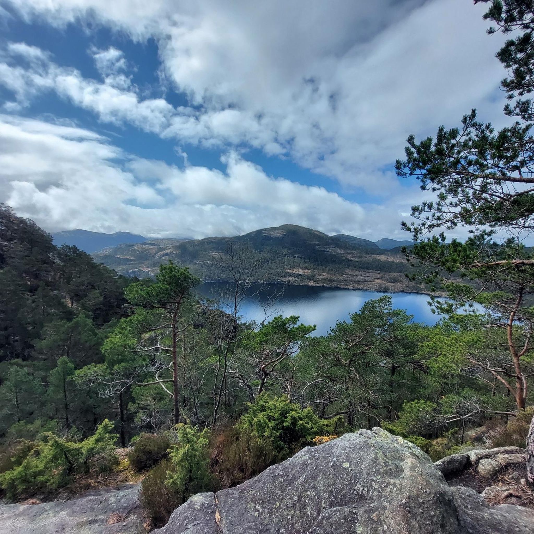
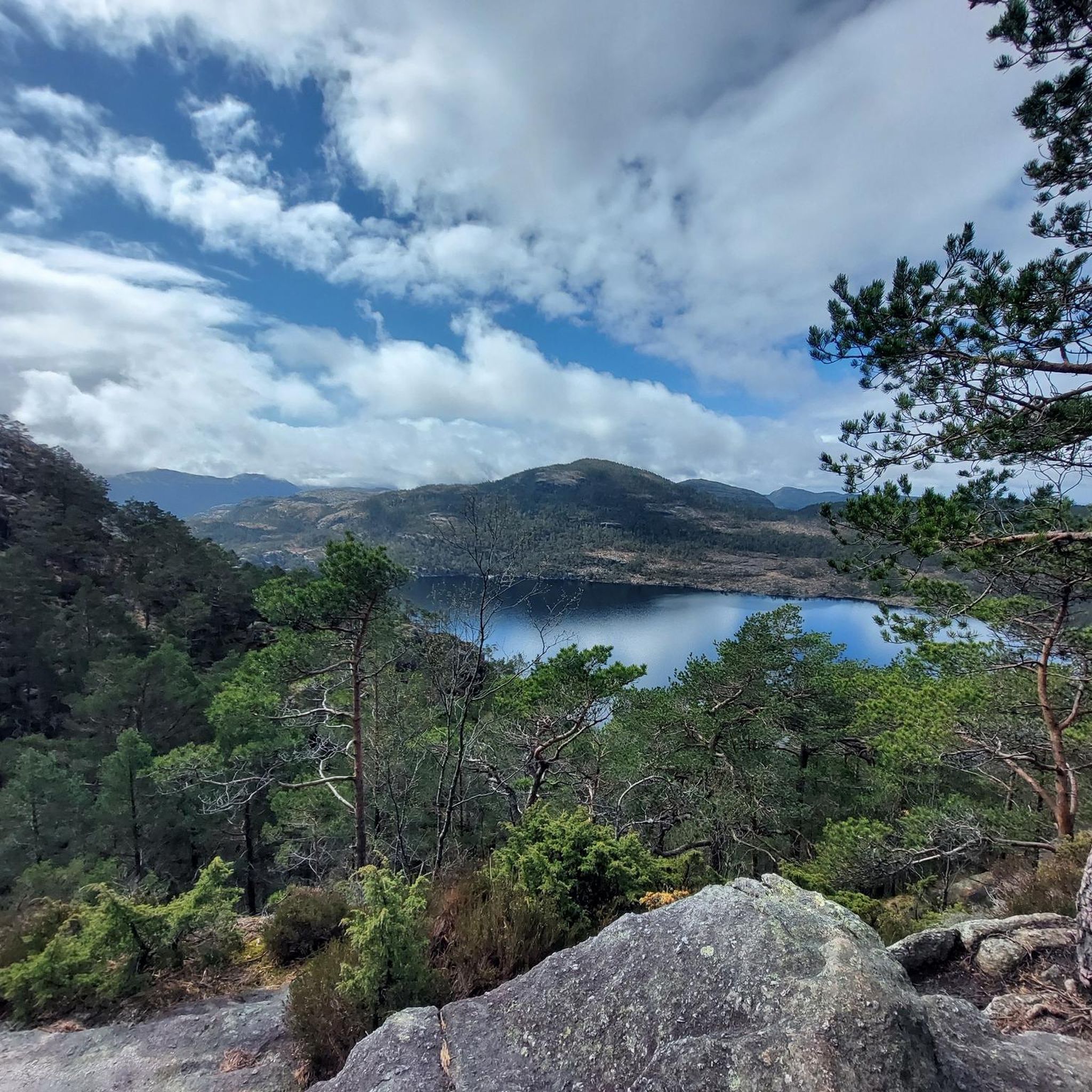
Other adventures around Strand

Tips from the Community

At Preikestolen Basecamp, you'll find everything you might need before or after your hike: restrooms, a café, and shops right on site. In the shop, you can find souvenirs and typical tourist items, as well as hiking gear. If you don't have suitable shoes, you can even rent hiking boots. Right on the fjord, just below the Basecamp, there's also the opportunity to explore the surroundings from the water. You can rent stand-up paddleboards or kayaks and take a trip on the fjord.
0
0

great view of the surrounding area
0
0

Highly recommended. Delicious food, friendly staff, and a great view.
0
0

As well as being the start point for the popular route to Preikestolen, there are a range of activities available here, inclucing swimming in Refsvatnet lake. There are also some accommodation options to choose from.
0
0

Nice little bridge along the way
0
0

This passage is secured by a wooden bridge with love locks hanging from it.
3
0
Just before the last big bend, the view of the wonderfully wide Lysefjord valley opens up.
1
0
At this point of the ascent you have the first view of the Lysefjord.
1
1
Frequently Asked Questions
What kind of mountaineering routes can I expect around Strand?
Mountaineering routes around Strand are characterized by rugged coastal mountains, deep fjords, and a landscape shaped by glacial activity. You'll find a mix of exposed rock faces, forested valleys, and high-altitude plateaus. Significant elevation gains are common, offering challenging ascents and panoramic views over the surrounding terrain.
How many mountaineering routes are available in the Strand area?
There are over 6 mountaineering routes documented in the Strand area, catering to various skill levels. These include easy ascents, moderate trails, and several challenging climbs.
Are there any easy mountaineering routes for beginners in Strand?
Yes, there is at least one easy mountaineering route. For instance, the Eikelitjørna – Sokkanuten loop from Levik is an easy 2.9-mile (4.7 km) trail that takes approximately 1 hour 46 minutes to complete, leading through forested and open landscapes.
What are some challenging mountaineering routes near Strand?
For experienced mountaineers, Strand offers several difficult routes. The View of Edlandsvatnet – Preikestolen (Pulpit Rock) loop from Vatne is a difficult 5.2-mile (8.4 km) trail with substantial elevation gain. Another challenging option is the View of Edlandsvatnet – Tjødnane loop from Jøssang, which is 10.9 miles (17.6 km) and features significant ascents.
What do other mountaineers say about the routes in Strand?
The routes in Strand are highly rated by the komoot community, with an average score of 4.5 stars from over 130 reviews. More than 700 mountaineers have used komoot to explore Strand's varied terrain, often praising the panoramic views and diverse landscapes.
Are there any circular mountaineering routes in Strand?
Yes, many of the mountaineering routes in Strand are circular. Examples include the View of Edlandsvatnet – Preikestolen (Pulpit Rock) loop from Vatne, the View of Edlandsvatnet – Tjødnane loop from Jøssang, and the Little Preikestolen loop from Heiatjørna.
What natural landmarks or attractions can I see along the mountaineering routes?
Many routes offer stunning views of iconic landmarks. You can see Preikestolen (Pulpit Rock) and enjoy views of Lysefjord. Some trails also pass by beautiful lakes like Tjødnane and offer views of Revsvatnet Lake.
Are there any specific trail features or sections worth noting?
Yes, some routes include unique features such as a wooden boardwalk over the moor on the way to Preikestolen and distinct moorland sections that add to the diverse landscape experience.
What is the best time of year for mountaineering in Strand?
The region's characteristics, with fjords and coastal mountains, suggest that late spring, summer, and early autumn generally offer the most favorable conditions for mountaineering, with longer daylight hours and more stable weather. However, conditions can change rapidly in mountainous terrain, so always check local forecasts.
What is the typical elevation gain on mountaineering routes in Strand?
Elevation gains vary significantly depending on the route's difficulty. For example, the View of Edlandsvatnet – Preikestolen (Pulpit Rock) loop from Vatne has an elevation gain of approximately 367 meters, while the View of Edlandsvatnet – Tjødnane loop from Jøssang involves over 618 meters of ascent.
Is the 'Strand' mentioned in this guide a coastal beach area?
While 'Strand' can mean 'beach' in several languages and refers to coastal or urban areas in many places, the 'Strand' in this guide refers to a region characterized by rugged coastal mountains, deep fjords, and glacial landscapes, offering significant mountaineering opportunities, particularly in areas near iconic sites like Preikestolen.
Most popular routes around Strand
Most popular attractions around Strand

Get inspired with the komoot mobile app


Explore more
Browse the best Mountain Hikes & Routes in other regions.
