The best walks and hikes in Vorderland
4.6
(6426)
42,201
hikers
170
hikes
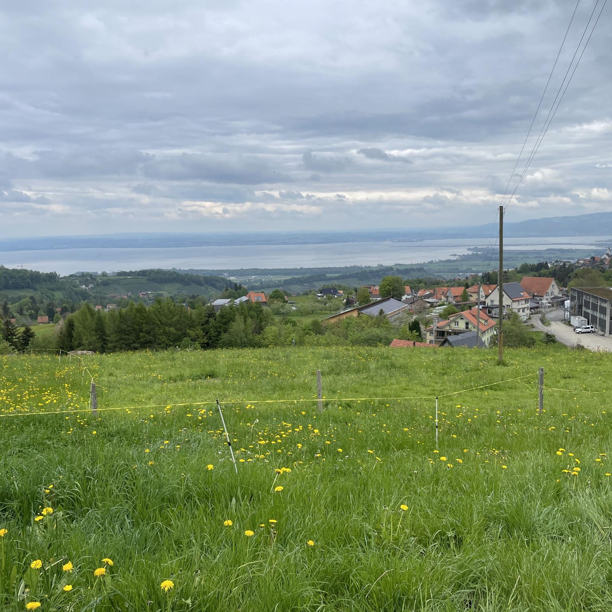
Hiking in Vorderland, a region within Appenzell Ausserrhoden, offers diverse landscapes for outdoor activities. The terrain features varied elevations, ranging from gentle paths to more challenging mountain trails. Hikers can expect picturesque scenery, including views of Lake Constance and the Rhine Valley, characteristic of the Alpine foothills. The region's trail network provides options for different skill levels, from easy walks to moderate mountain paths.
Best hiking trails in Vorderland
- The most popular hiking route is Chindlistei Trail, a 4.5…
Last updated: July 7, 2026
4.5
(55)
201
hikers
7.29km
02:11
230m
230m
Hike the moderate Chindlisteiweg in Appenzell, a 4.5-mile route featuring unique rock formations and scenic views over Appenzellerland.
4.8
(43)
151
hikers
10.0km
03:06
360m
360m
Moderate hike. Good fitness required. Easily-accessible paths. Suitable for all skill levels.

Sign up for free
4.4
(12)
35
hikers
8.68km
02:37
140m
530m
Moderate hike. Good fitness required. Easily-accessible paths. Suitable for all skill levels.
4.7
(134)
455
hikers
Moderate hike. Good fitness required. Easily-accessible paths. Suitable for all skill levels.
4.8
(50)
172
hikers
12.6km
03:53
450m
450m
Moderate hike. Good fitness required. Mostly accessible paths. Sure-footedness required.
4.7
(23)
86
hikers
6.18km
01:47
150m
160m
Easy hike. Great for any fitness level. Easily-accessible paths. Suitable for all skill levels.
4.8
(12)
132
hikers
7.17km
02:05
190m
190m
Moderate hike. Good fitness required. Easily-accessible paths. Suitable for all skill levels.
4.5
(22)
92
hikers
9.93km
02:54
260m
260m
Moderate hike. Good fitness required. Easily-accessible paths. Suitable for all skill levels.
4.5
(6)
33
hikers
Moderate hike. Good fitness required. Easily-accessible paths. Suitable for all skill levels.
4.5
(8)
28
hikers
Moderate hike. Good fitness required. Easily-accessible paths. Suitable for all skill levels.
Get access to more routes and recommendations from other explorers.
Sign up for free
Already have an account?
Our route recommendations are based on thousands of hikes, rides, and runs completed by other people on komoot.
Start today with a free account
Your next adventure awaits.
Login or Signup
Popular around Vorderland
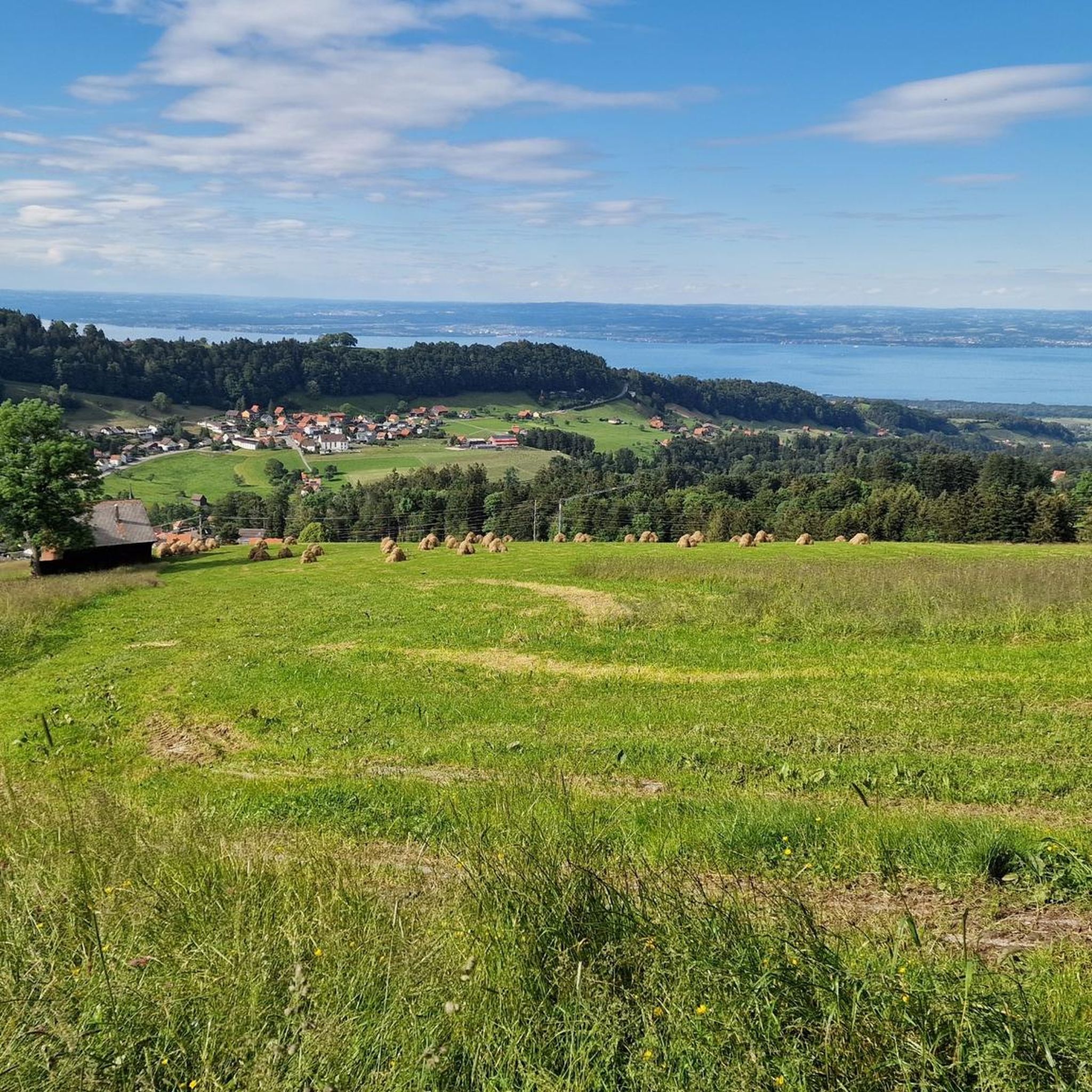
Hiking around Grub (AR)
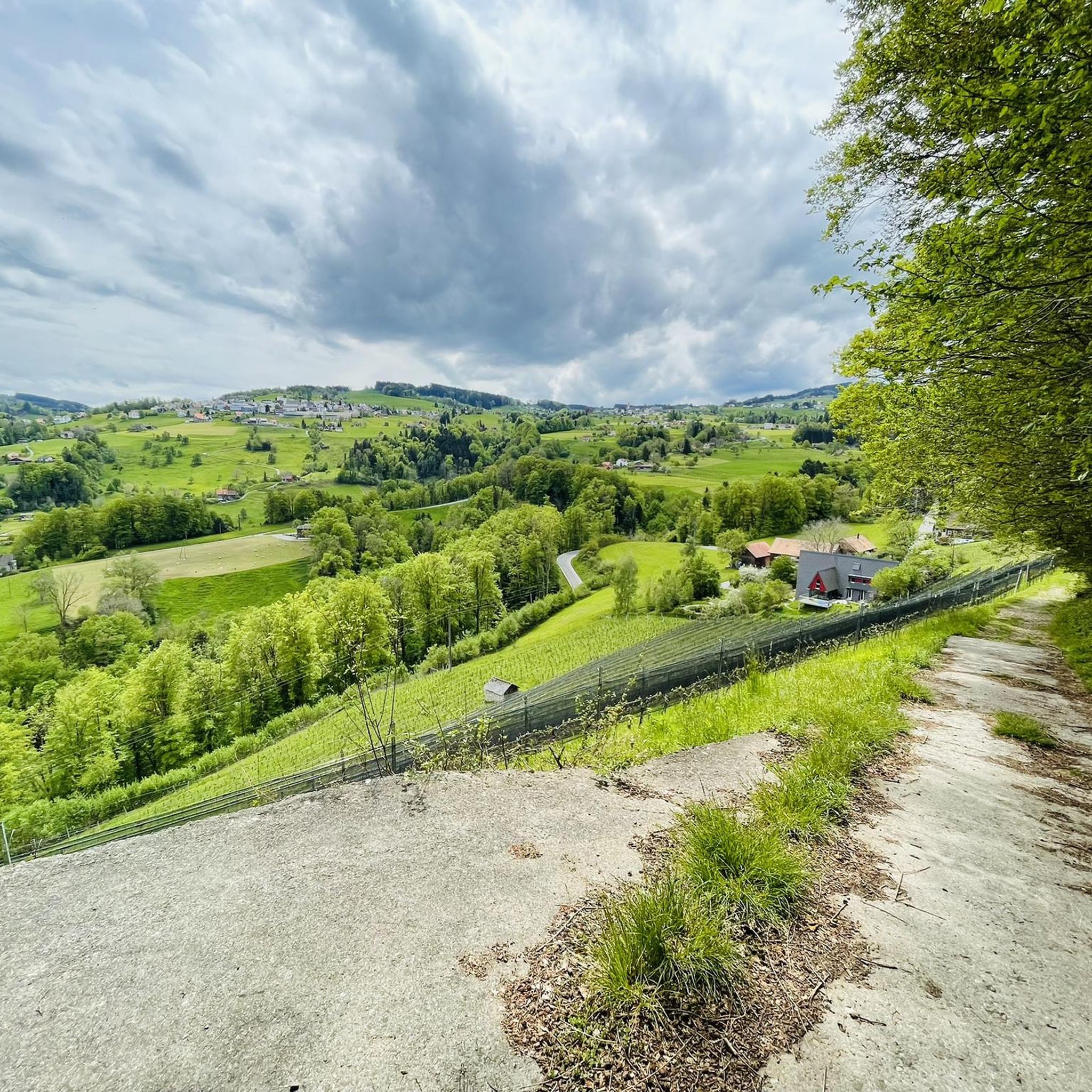
Hiking around Lutzenberg
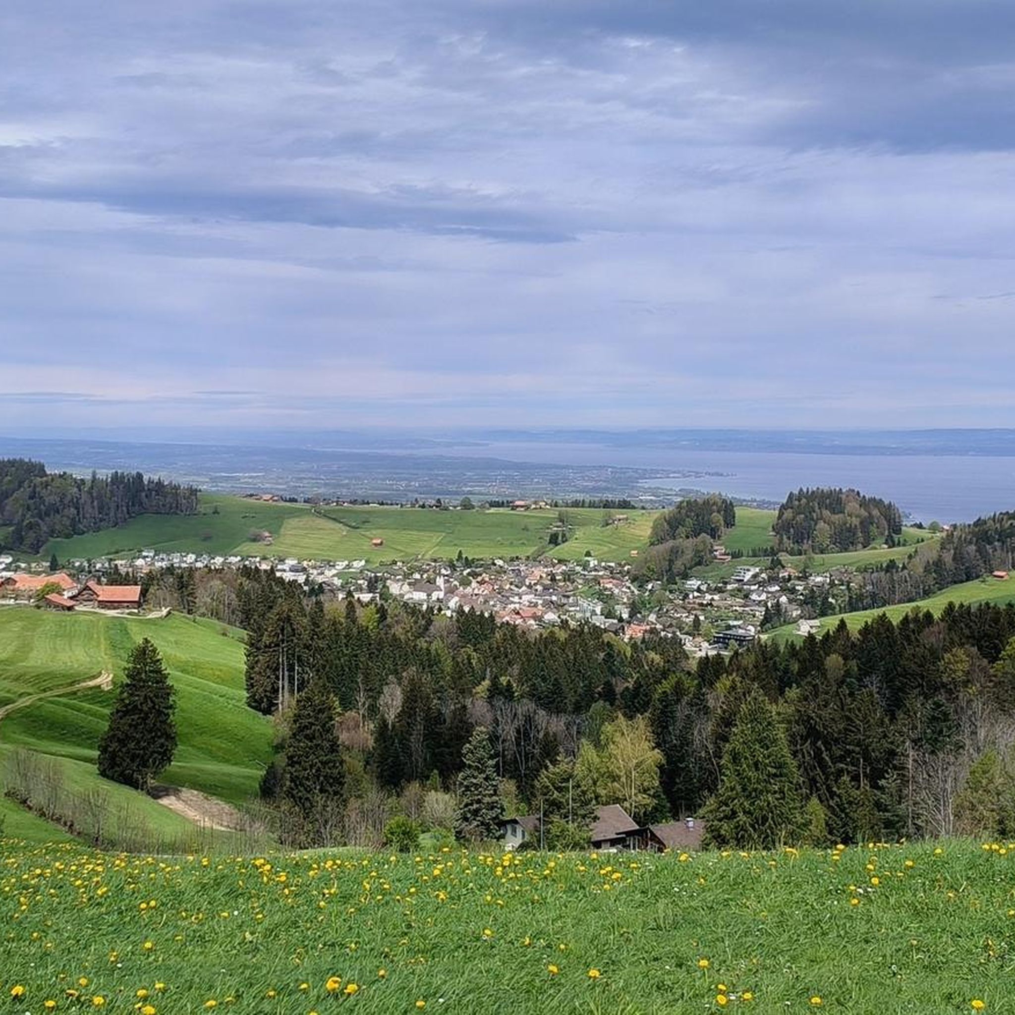
Hiking around Rehetobel
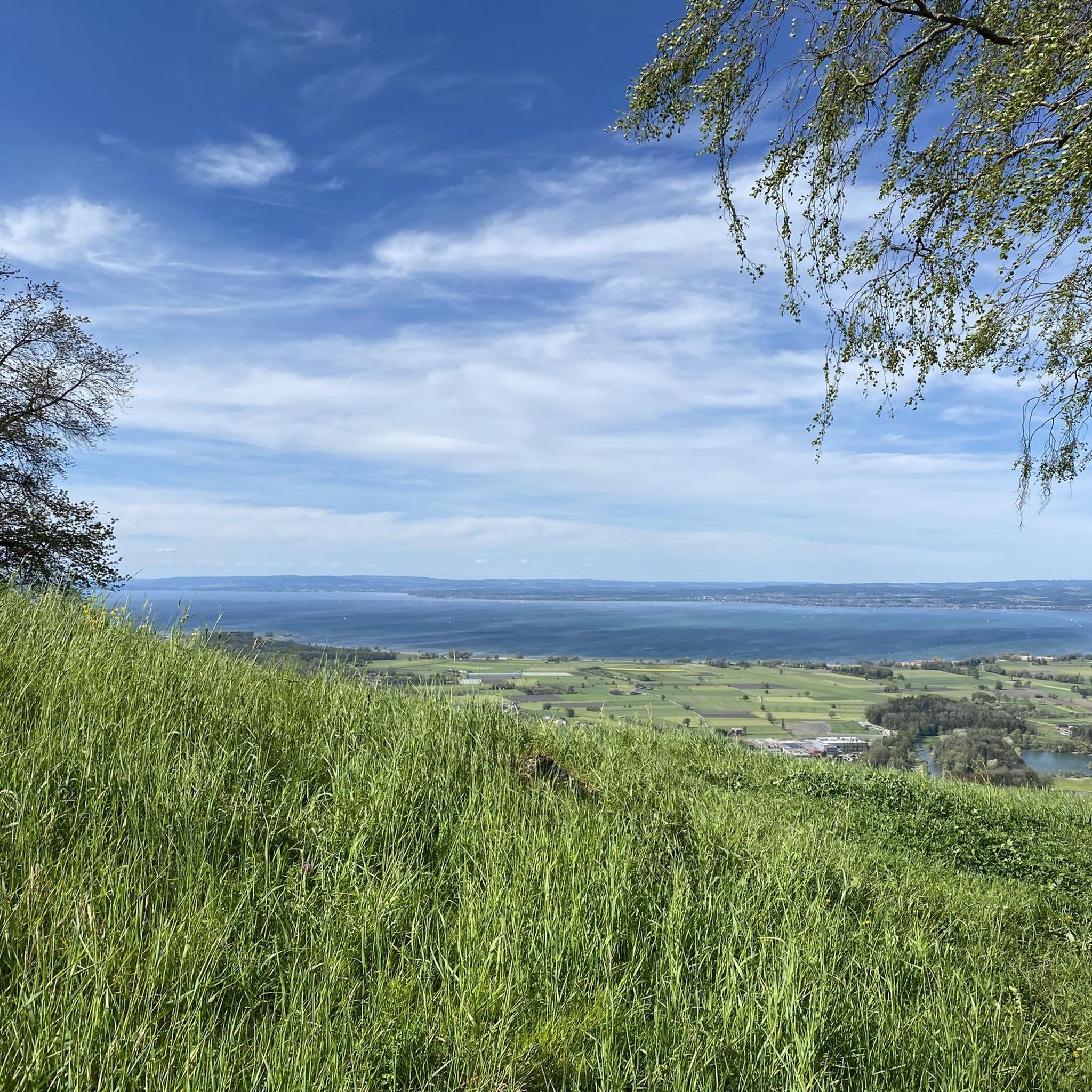
Hiking around Walzenhausen

Lake and Alps Adventure – explore 100 dreamy places in our cycling region!
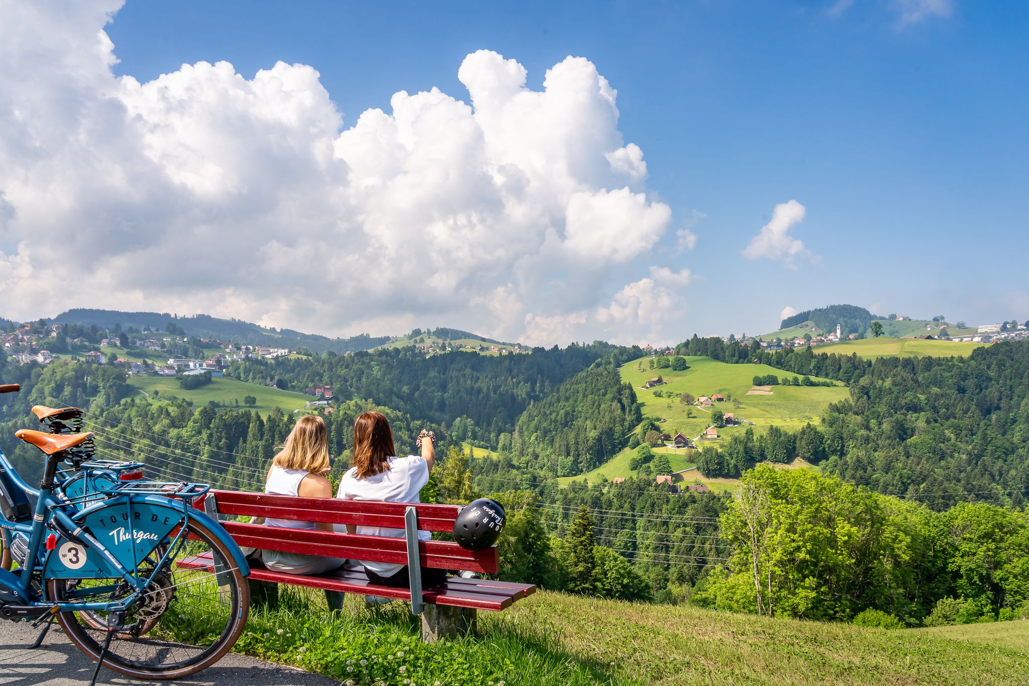
Lake Constance Velo-Rallye
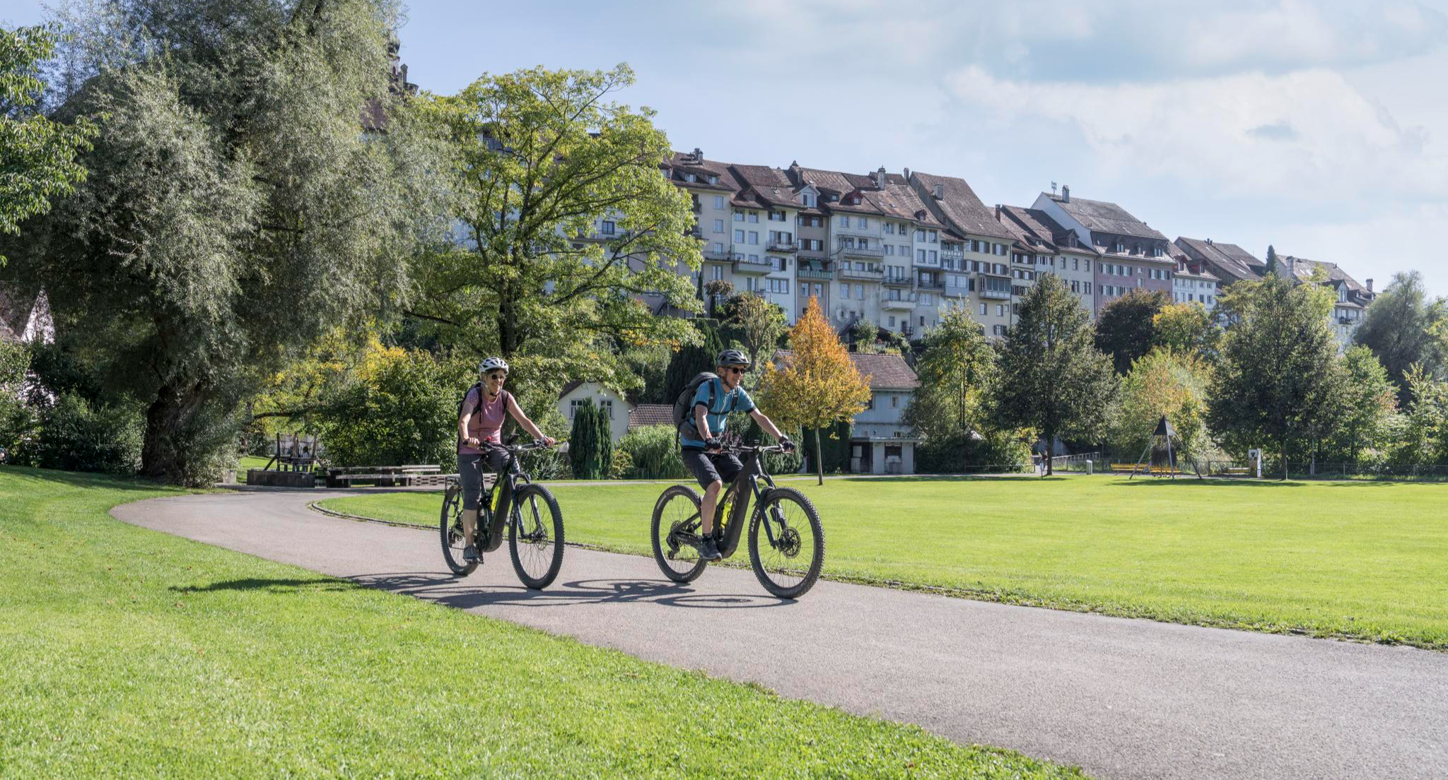
E-Bike-Touren für jedes Niveau in der Region St.Gallen-Bodensee
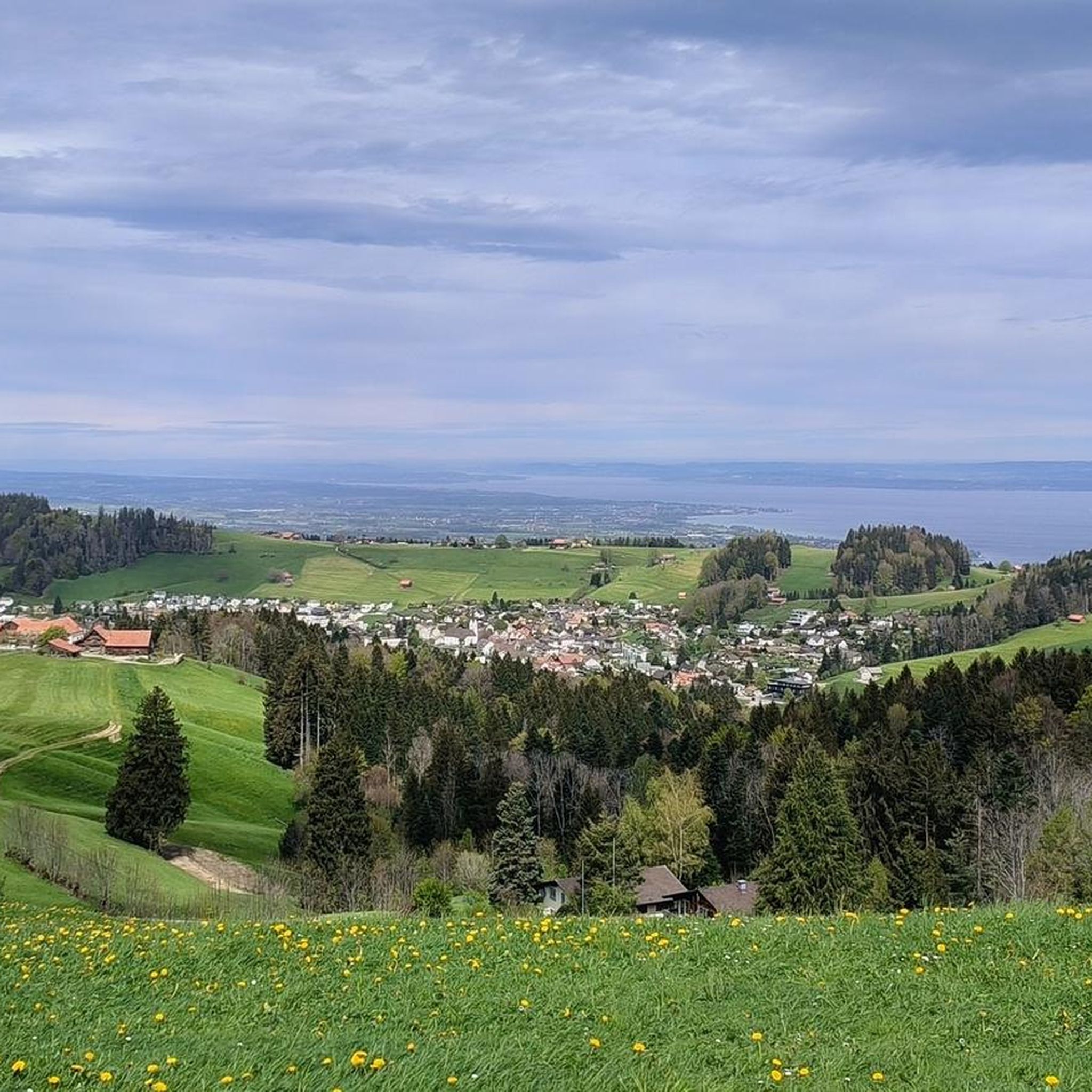
Cycling in Vorderland
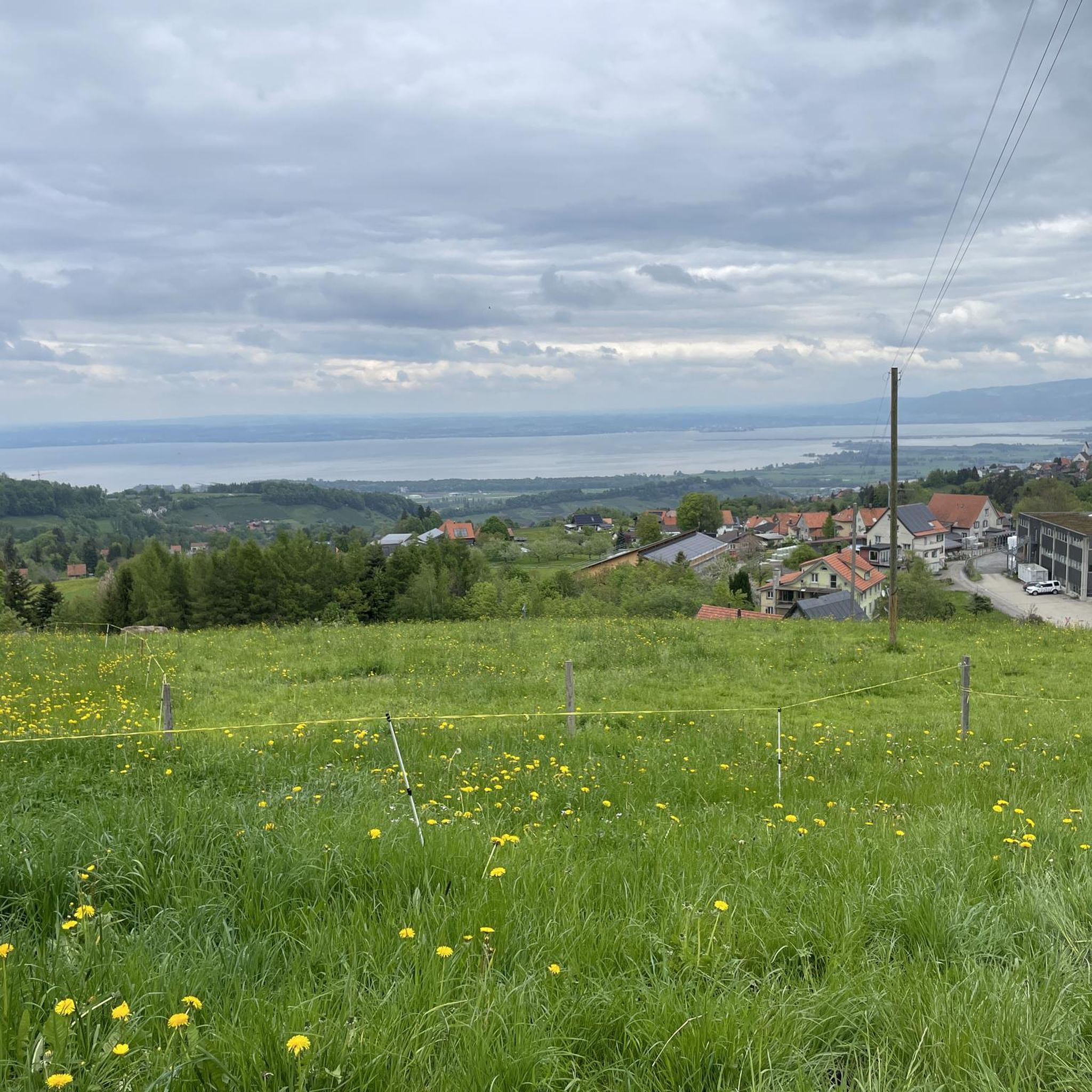
Road Cycling Routes in Vorderland
MTB Trails in Vorderland
Other adventures in Vorderland


Tips from the Community

Many beautiful items from the former fire department era can be seen
0
0

This small chapel on the ridge was built in 1892 in honor of Our Lady of Lourdes. From the chapel, you have a wonderful view into the distance, over Lake Constance and the associated national borders.
0
0

Fünfländerblick On the Fünfländerblick, the view is fantastic. The Fünfländerblick owes its name to the view of Switzerland, Austria, and the formerly independent German states of Bavaria, Württemberg, and Baden. Text / Source: St.Gallen-Bodensee Tourismus, Bankgasse 9, St.Gallen https://st.gallen-bodensee.ch/de/map/poi/funflanderblick-ac477623-0957-4a92-bf9c-9bd555970463.html
15
0
Maria Lourdes Kapelle (1892) Rossbüchel In 1892, a Lourdes chapel was built on the ridge on behalf of Klara Bischof. For over 100 years, a chapel has stood on the crest of the Rossbüchel in honor of the Mother of God of Lourdes. The builder of the chapel was the devout maiden Klara Bischof, originating from a family of roofers and therefore commonly known by the name "Deckers Klara". On the occasion of a pilgrimage to Rankweil, Klara Bischof visited the Lourdes chapel in Altenstadt. It was there that she got the idea to erect a chapel in Grub as a thank you for the health regained in Lourdes. When carrying out the plan, difficulties arose from all sides. The church administration feared a decline in church attendance and thus a reduction in offertory income for the church. However, there were also enough people who encouraged Klara Bischof in her endeavor. On January 25, 1892, she was able to acquire the necessary land on the height of the Rossbüchel at a low price. Material transport began just a few days later. 180 loads of masonry stones were quarried and transported to the height. The construction, which began on March 23, was completed at the end of June. Bell founder Egger in Staad donated the little bell, which was transported to Grub on a richly decorated handcart, was consecrated on June 16, and its voice first sounded on June 18. Egger also donated the cross and knob for the small tower. The Lourdes statue arrived on March 11 from Gröden in Tyrol and was first housed in Klara Bischof's home. Under festive accompaniment, the solemn transfer of the two statues, Maria and Bernadette, to the chapel took place on August 6. The festive day of the chapel's consecration was the feast day of the Assumption of Mary, on August 15, 1892. Ext / Quelle: eggersriet.ch http://www.eggersriet.ch/de/aktuellesportrait/portrait/geschichte/welcome.php?action=showinfo&info_id=7348
14
0
Mattenbach Suspension Bridge, Grub AR to Grub SG The Grub-Grub pedestrian suspension bridge between Grub Appenzell and Grub St. Gallen is one of the solid, down-to-earth suspension bridges. Without frills and with two anchorages on each side, the bridge still swings enough to feel the real suspension bridge experience. With a walkway width of just 65cm, it is one of the narrowest suspension bridges in Switzerland. Because the side cladding was attached conically, the width at "backpack height" is still sufficient for careful crossing. The bridge is a welcome shortcut for locals between the two villages. Since the bridge, opened in April 2019, was also mentioned in the Swiss press and on television, it is also known regionally. On beautiful weekend days, there can be quite a few people at the bridge. It is 180 meters long, the new attraction in the Appenzeller Vorderland. Since April 2019, the two villages Grub AR and Grub SG have been connected again by an attractive, 180-meter-long suspension bridge over the Mattenbach. A very popular hiking trail across the cantonal border from Frauenrüti Grub AR to the Grünau area Grub SG is thus continuously accessible again. The bridge is only for the sure-footed. The highest point of the bridge is around 40 meters above the gorge. Text / Source: haengebruecken.com/grub-grub https://www.haengebruecken.com/grub-grub-kantonsverbindend-haengebruecke/
14
0
Albrecht von Graefe (1828–1870), Heiden Medically, von Graefe is considered the true founder of the field of ophthalmology. In 1866, himself the son of an ophthalmologist, he became director of the ophthalmology department at the Charité in Berlin. He invented iridectomy for the treatment of glaucoma, and various other technical terms bear his name, such as Graefe's syndrome, Graefe's spot, or Graefe's reflex. His surgical skill was legendary, his creativity immense. Graefe studied medicine, mathematics, physics, and chemistry in Berlin. He wrote his dissertation in Latin in 1847. Afterwards, he was an assistant physician in Prague, where he began to dedicate himself entirely to ophthalmology. He continued his studies in Paris, Vienna, and London and returned to Berlin in 1852, where he completed his habilitation and opened a private eye clinic with 120 beds, which soon enjoyed worldwide fame in both practice and research. Graefe was exceptionally socially minded in his treatment, making no distinction based on social class – not least for this reason, his student Julius Hirschberg called him an "apostle of suffering humanity" in an obituary. Two years later, in 1854, he founded the first ophthalmological journal, the "Archiv für Ophthalmologie." In 1866, Graefe became director of the ophthalmology department at the Charité and was particularly successful in treating glaucoma and strabismus. He is said to have performed more than 10,000 eye operations. Various technical terms bear the name of the physician, such as "Graefe's syndrome," "Graefe's spot," or "Graefe's reflex." The consistent use of the ophthalmoscope developed by Helmholtz also goes back to Graefe. In 1851, Albrecht von Graefe came to Heiden for the first time; the young Berlin doctor had tuberculosis and wanted to benefit from the high-altitude climate. From 1860 onwards, he settled in Heiden every summer, operated at the «Freihof», and initiated the construction of a new spa hotel because his skill attracted so many patients that the hotel capacities were quickly insufficient. Whey cures and eye medicine helped the town to flourish, a prosperity that is still visible in the village today. von Graefe died in 1870 at the young age of 42 from pulmonary tuberculosis. Text / Source: Heiden Municipal Administration, Kirchplatz 6 / Postfach 64, 9410 Heiden https://www.heiden.ch/geschichte/13103
14
0
Heidenbach Heiden - Built in June 1996 Wooden bridge over the Heidenbach Built in June 1996 By the Vorderland AR civil protection organization And the local tradesman. On behalf of the Heiden spa association. Supported by the municipality of Heiden
14
0

A section of the slope has slid down approximately 30 meters of the path and has only been temporarily stabilized so far. 03/26
0
0
Frequently Asked Questions
What types of hiking trails can I find in Vorderland?
Vorderland offers a diverse range of hiking trails, from easy walks to moderate mountain paths. The region's terrain features varied elevations, providing options for different skill levels. You'll find well-marked paths suitable for leisurely strolls, as well as more challenging routes with significant elevation changes.
How many hiking trails are available in Vorderland?
There are over 170 hiking routes available in Vorderland, catering to various preferences and fitness levels. This includes approximately 70 easy trails, over 100 moderate paths, and a few more challenging options for experienced hikers.
Are there any family-friendly hiking trails in Vorderland?
Yes, Vorderland has several trails suitable for families. The region's yellow-marked trails are generally gentle and well-marked, making them ideal for easy walks with few hazards. These paths often feature tranquil water features, benches, fountains, and picnic sites for rest and relaxation.
What kind of natural features and landmarks can I see while hiking in Vorderland?
Hikers in Vorderland can enjoy picturesque scenery, including views of Lake Constance and the Rhine Valley. Notable landmarks and natural features include the Grub Suspension Bridge, the Kaienspitz Summit Grill and Picnic Area, and the mysterious Chindlistei. You can also discover various viewpoints offering stunning vistas, such as the Lake Constance Three Country Viewpoint.
Are there any circular hiking routes in Vorderland?
Yes, Vorderland features several circular routes. For example, the Grub Suspension Bridge – Fünfländerblick Viewpoint loop from Heiden is a moderate 7.8 km trail. Another option is the St. Anton Viewpoint loop from Wald AR, which is about 7.2 km long.
What do other hikers say about the trails in Vorderland?
The hiking routes in Vorderland are highly rated by the komoot community, with an average score of 4.6 stars from over 700 reviews. Hikers often praise the varied terrain, scenic viewpoints, and the well-maintained network of paths that cater to different ability levels.
Can I hike with my dog in Vorderland?
While specific rules for dog-friendly trails vary, the general Swiss hiking network is often welcoming to dogs, provided they are kept under control, especially in agricultural areas or near livestock. It's always advisable to check local signage for any specific restrictions on individual trails.
What is the best time of year to go hiking in Vorderland?
The best time for hiking in Vorderland is typically from spring through autumn, when the weather is mild and trails are clear. The diverse landscapes offer beautiful scenery during these seasons. While some trails might be accessible in winter, specific winter hiking routes should be consulted due to snow and ice conditions.
Are there any trails that offer views of Lake Constance?
Absolutely. Many trails in Vorderland provide stunning views of Lake Constance. A popular route is Suspension bridge, Kaienspitz and lake view, which offers scenic viewpoints including lake vistas. Another option is From the Biedermeier village to Lake Constance, leading directly towards the lake.
Are there any trails with historical sites or castles?
Yes, some trails in the broader region, such as the 'Underhard - Underhard' route mentioned in regional research, can lead past historic sites like Schloss Weinstein. While not explicitly listed in the top routes, the varied landscape of Vorderland often includes cultural elements and historical points of interest.
Are there any easy trails suitable for beginners?
Yes, Vorderland has numerous easy trails perfect for beginners or those looking for a relaxed walk. These trails are generally gentle, well-marked, and have minimal hazards, aligning with the yellow-marked trails of the Swiss hiking network. You can find approximately 70 easy routes in the region.
Can I access hiking trails in Vorderland using public transport?
The Swiss public transport network is highly efficient and often provides good access to hiking areas. While specific routes would require checking local timetables, many trailheads in Vorderland are likely accessible via bus or train connections, allowing for car-free exploration.
Most popular routes in Vorderland
Most popular attractions in Vorderland

Get inspired with the komoot mobile app


Didn’t find what you were looking for?
Check out more Hikes throughout Vorderland below and find the perfect route in your destination.
Explore more
Browse the best Hikes in other regions.
