The best walks and hikes around Volsemenhusen
4.6
(778)
3,467
hikers
334
hikes
Hiking around Volsemenhusen offers exploration within a distinctive marshland geography, characterized by flat, open terrain, endless fields, and green meadows. The region is situated along the Eider River, Schleswig-Holstein's longest river, providing opportunities for walks along its banks. Proximity to the Wadden Sea National Park also influences the local environment, offering a unique ecosystem.
Best hiking trails around Volsemenhusen
- The most popular hiking route is Gudendorf Memorial – Gudendorfer Heide Memorial loop from Ringelshörn, a 3.2 miles (5.1 km)…
Last updated: August 6, 2026
4.7
(46)
141
hikers
Easy hike. Great for any fitness level. Easily-accessible paths. Suitable for all skill levels.
4.8
(18)
59
hikers
Moderate hike. Good fitness required. Easily-accessible paths. Suitable for all skill levels.

Sign up for free
4.6
(9)
20
hikers
Moderate hike. Good fitness required. Easily-accessible paths. Suitable for all skill levels.
5.0
(6)
23
hikers
Easy hike. Great for any fitness level. Easily-accessible paths. Suitable for all skill levels.
5.0
(2)
9
hikers
Moderate hike. Good fitness required. Easily-accessible paths. Suitable for all skill levels.
Get access to more routes and recommendations from other explorers.
Sign up for free
Already have an account?
Our route recommendations are based on thousands of hikes, rides, and runs completed by other people on komoot.
Start today with a free account
Your next adventure awaits.
Login or Signup
Tips from the Community

This remarkable boulder presumably reached the Dithmarscher Geest during the penultimate ice age 200,000 years ago. In the course of the preparations for the Kiel Canal from 1907 to 1914, the stone, with a length of 3.50 meters, a diameter of 2.00 meters, and a weight of 25 tons, came to light.
0
0

As children, we used to jump and slide down a narrow sandy path directly from the Bismarck Stone to the Käthnersvierth.
0
0

Beautiful old bridge over the railway line between Burg and St. Michel. Popularly known as the '3rd Bridge'.
0
0

As a result of the strong melting of glaciers at the end of the last ice age (Weichsel), the sea level rose sharply and the western edge of Schleswig-Holstein's geest formed the coastline. In some places, such as the Barlter Kleve (Kleve = cliff, steep coast) near Gudendorf with a drop of 20 m, at the Kleve of Sankt Michaelisdonn (30 m drop) and between Kuden and Burg, the original cliffs formed by the surf are still visible.
1
0
The "Kleve" nature reserve, located southeast of St. Michaelisdonn in the Hopen district of Dithmarschen, has existed as such since November 8, 1962. Parts of the "Hoper or Donner Kleve" were bought by a nature conservation association as early as 1914, and then placed under the protection ordinance under the Reich Nature Conservation Act in 1938. At 11.9 hectares, it is certainly one of the smallest nature reserves in Schleswig-Holstein, but due to its animal and plant populations, it is a real treasure trove.
1
0

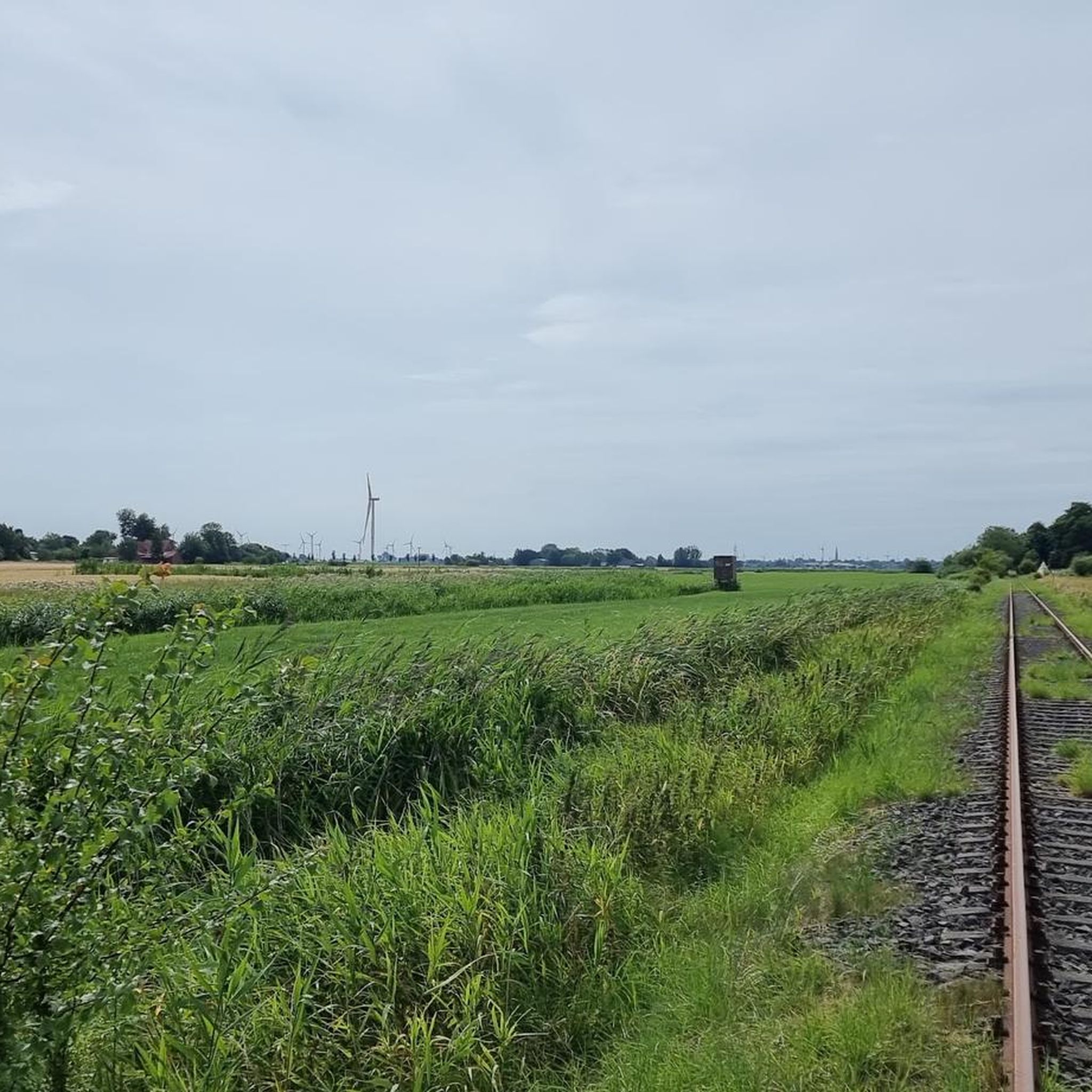
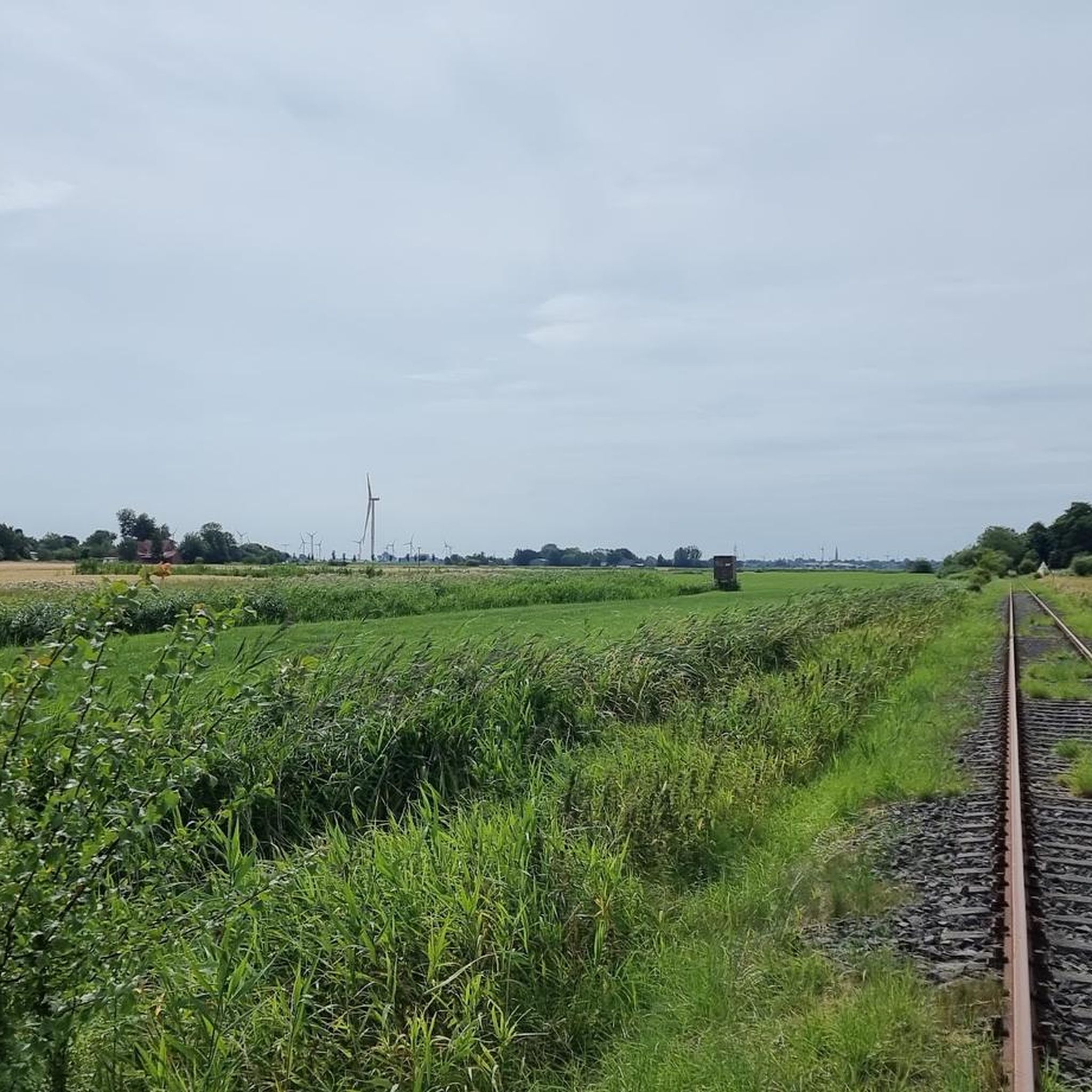
Nice spot, from there you have a good view of the marsh.
0
0
If you would like to visit, you will also know more about the history of Dithmarschen.😔
0
0

If you want to cross the railway tracks on your tour through the Christianslust forest, you can count on this older railway bridge.
2
0
Frequently Asked Questions
How many hiking trails are available around Volsemenhusen?
There are over 330 hiking routes around Volsemenhusen. These trails cater to various preferences, with more than 240 easy routes, 80 moderate options, and a few more challenging paths for experienced hikers.
What kind of terrain can I expect on hikes in Volsemenhusen?
The region is characterized by its distinctive marshland geography, offering flat, open terrain with endless fields and green meadows. Many paths follow the banks of the Eider River, Schleswig-Holstein's longest river, providing serene walks through an agricultural landscape.
Are there any family-friendly hiking options in Volsemenhusen?
Yes, the flat and open marshland terrain around Volsemenhusen is ideal for leisurely strolls, making many routes suitable for families. An easy option is the Gudendorf Memorial – Gudendorfer Heide Memorial loop from Ringelshörn, which is 5.1 km long and features minimal elevation gain.
Can I bring my dog on the hiking trails in Volsemenhusen?
Many trails in the Volsemenhusen area are dog-friendly, especially those through open fields and along the Eider River. It's always recommended to keep dogs on a leash, particularly in nature reserve areas or near livestock, to protect local wildlife and ensure a pleasant experience for everyone.
What are some notable landmarks or natural features to see while hiking?
Hikers can discover several interesting points of interest. Along some routes, you might encounter the historic Bismarck Rock at Hoper Klev or the Kleve Nature Reserve. The area also features the Kudensee Nature Reserve and the Helmsand and Salt Marshes, offering unique natural sights.
Are there any circular hiking routes available?
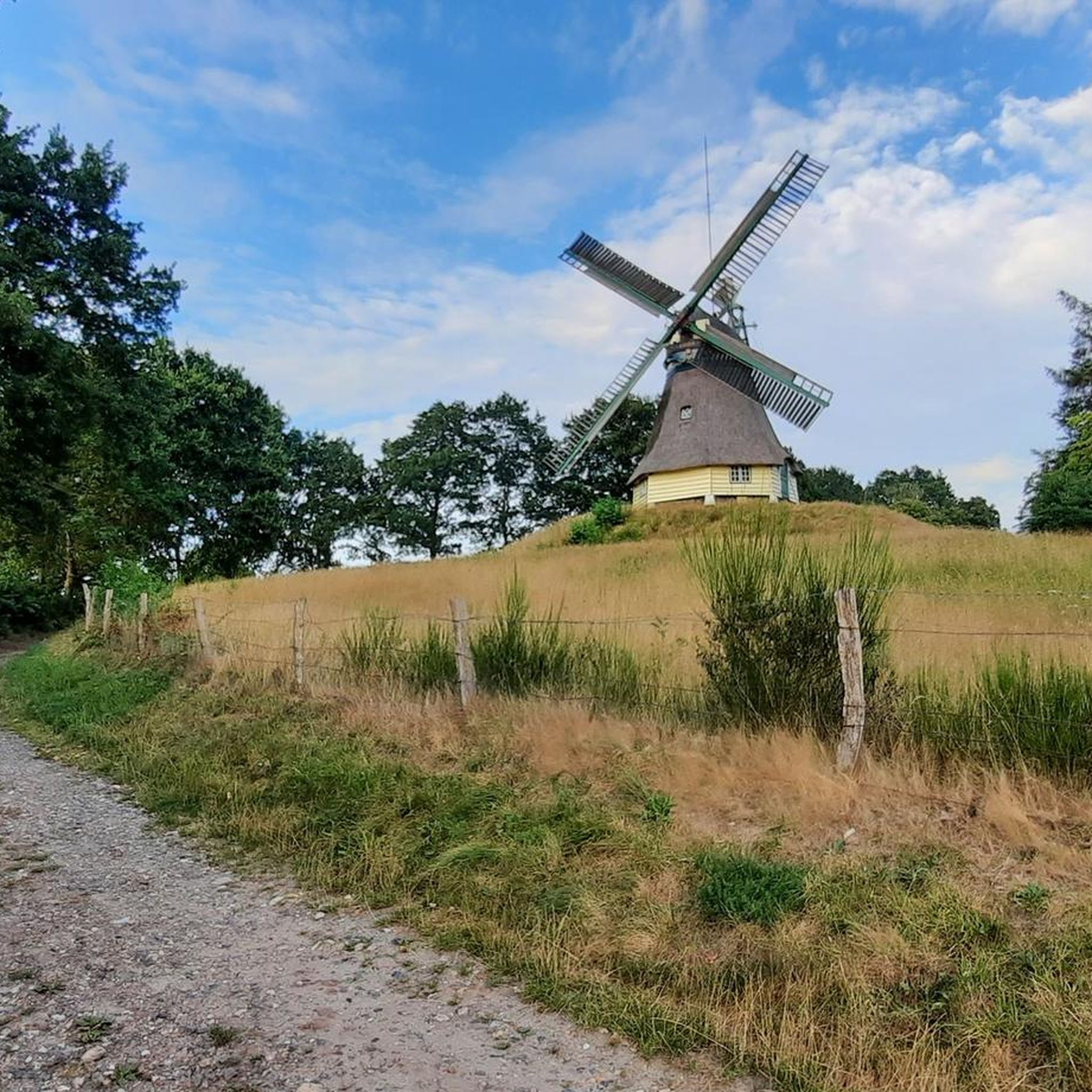
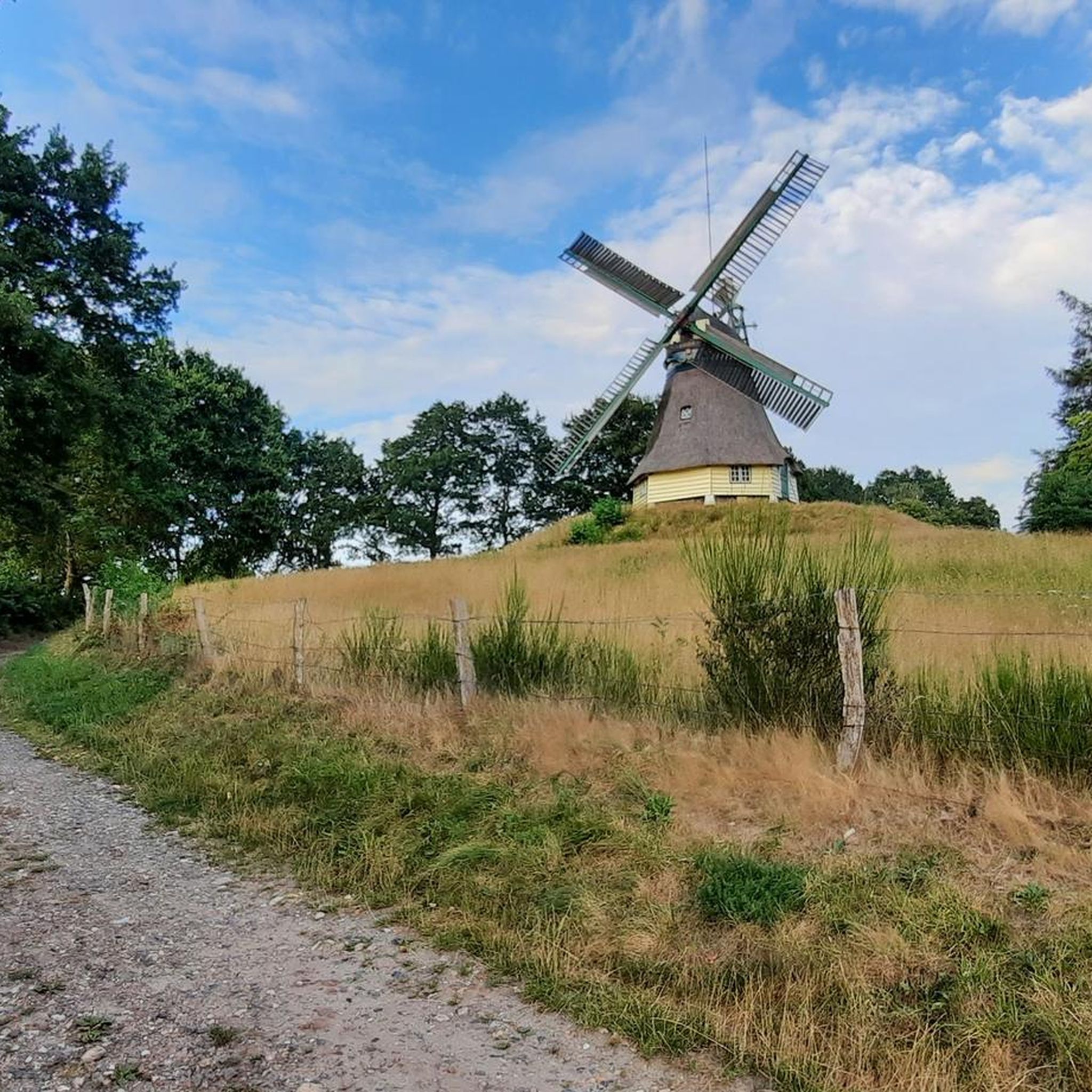
Yes, many routes around Volsemenhusen are designed as loops. For example, the Gudendorfer Heide Memorial – Edda Windmill (Hoper Mill) loop from St. Michaelisdonn is a moderate 10.3 km circular path that offers views of the local agricultural landscape and an historic windmill.
What is the best time of year to go hiking in Volsemenhusen?
Spring and summer are particularly popular for hiking in Volsemenhusen, when the fields are green and the weather is generally mild. The open landscape provides pleasant conditions for walking, especially along the Eider River.
What do other hikers say about the trails in Volsemenhusen?
The hiking routes in Volsemenhusen are highly rated by the komoot community, with an average score of 4.6 stars from over 700 reviews. Hikers often praise the serene environment, expansive natural scenery, and the well-developed network of paths suitable for various outdoor pursuits.
Are there any longer, moderate hikes for more experienced walkers?
For those seeking a longer, moderate challenge, the Bismarck Rock at Hoper Klev – Edda Windmill (Hoper Mill) loop from St. Michaelisdonn is a 17.5 km trail. It leads through open fields and past local landmarks, typically taking around 4 hours and 30 minutes to complete.
Is there parking available near the trailheads in Volsemenhusen?
While specific parking details for every trailhead are not provided, Volsemenhusen is an agricultural community, and parking is generally available in or near villages and at popular starting points for trails. It's advisable to check local signage for designated parking areas.
Are there any trails that pass by historical sites?
Yes, some routes incorporate historical elements. For instance, the Hopen Airfield – Bismarck Rock at Hoper Klev loop from St. Michaelisdonn passes by the Hopen Burial Mounds, offering a glimpse into the region's past.
What is the general elevation gain like on hikes in this area?
Given the marshland geography, hikes around Volsemenhusen typically feature minimal elevation gain. Most routes are relatively flat, making them accessible for a wide range of fitness levels. Even longer trails like the 17.5 km loop only have around 86 meters of ascent.
Most popular attractions around Volsemenhusen

Get inspired with the komoot mobile app


Explore more
Browse the best Hikes in other regions.
