The best walks and hikes around Nøtterøy
4.6
(256)
1,349
hikers
87
hikes
Hiking around Nøtterøy offers diverse natural landscapes, extensive coastal trails, and rich biodiversity. The island is characterized by gently hilly terrain, particularly in its southern and western parts, with its highest point reaching just under 100 meters. Its distinctive bedrock includes monzonite rocks, and evidence of the last ice age is visible. The region's favorable climatic conditions support a diverse flora and fauna, enhancing the hiking experience.
Best hiking trails around Nøtterøy
- The most popular hiking route is Hellastranda loop from Nøtterøy kirke, a 4.0 miles (6.4 km) trail that takes 1 hour 45 minutes to complete. This accessible path offers scenic coastal views.
- Another top favourite among local hikers is Vikingeodden Tønsberg – Tønsberg loop from Tønsberg, an easy 3.3 miles (5.3 km) path. This route provides a pleasant walk with minimal elevation gain.
- Local hikers also love the Ilene naturreservat loop from Tønsberg, a 3.4 miles (5.4 km) trail leading through a nature reserve, often completed in about 1 hour 22 minutes.
- Hiking around Nøtterøy is defined by coastal paths, gently hilly terrain, and rich biodiversity. The network offers options for various ability levels, from easy strolls to moderate treks.
- The routes in Nøtterøy are highly rated by the komoot community with an average score of 4.6 stars from over 190 reviews. More than 1200 hikers have used komoot to explore Nøtterøy's varied terrain.
Last updated: October 12, 2026
5.0
(1)
36
hikers
4.39km
01:08
30m
30m
Easy hike. Great for any fitness level. Easily-accessible paths. Suitable for all skill levels.
4.8
(4)
16
hikers
3.71km
00:58
30m
30m
Easy hike. Great for any fitness level. Easily-accessible paths. Suitable for all skill levels.

5.0
(2)
3
hikers
5.81km
01:32
50m
50m
Easy hike. Great for any fitness level. Easily-accessible paths. Suitable for all skill levels.
1
hikers
3.26km
00:53
50m
50m
Easy hike. Great for any fitness level. Easily-accessible paths. Suitable for all skill levels.
11
hikers
5.22km
01:23
60m
60m
Easy hike. Great for any fitness level. Easily-accessible paths. Suitable for all skill levels.
Get access to more routes and recommendations from other explorers.
Already have an account?
Our route recommendations are based on thousands of hikes, rides, and runs completed by other people on komoot.
Start today with a free account
Your next adventure awaits.
Tips from the Community

This tunnel was once part of Bolærne Fort’s underground defence system, connecting gun positions, shelters and operational facilities within the island.
0
0
This former gun emplacement was once part of Bolærne Fort’s coastal defence system, strategically positioned to control shipping through the Oslofjord.
0
0
Built in the early 20th century, Bolærne Fort was part of Norway’s coastal defence system and remained in military use until 2004. Today, its restored bunkers, gun emplacements and military buildings offer a fascinating insight into the islands’ strategic history.
0
0

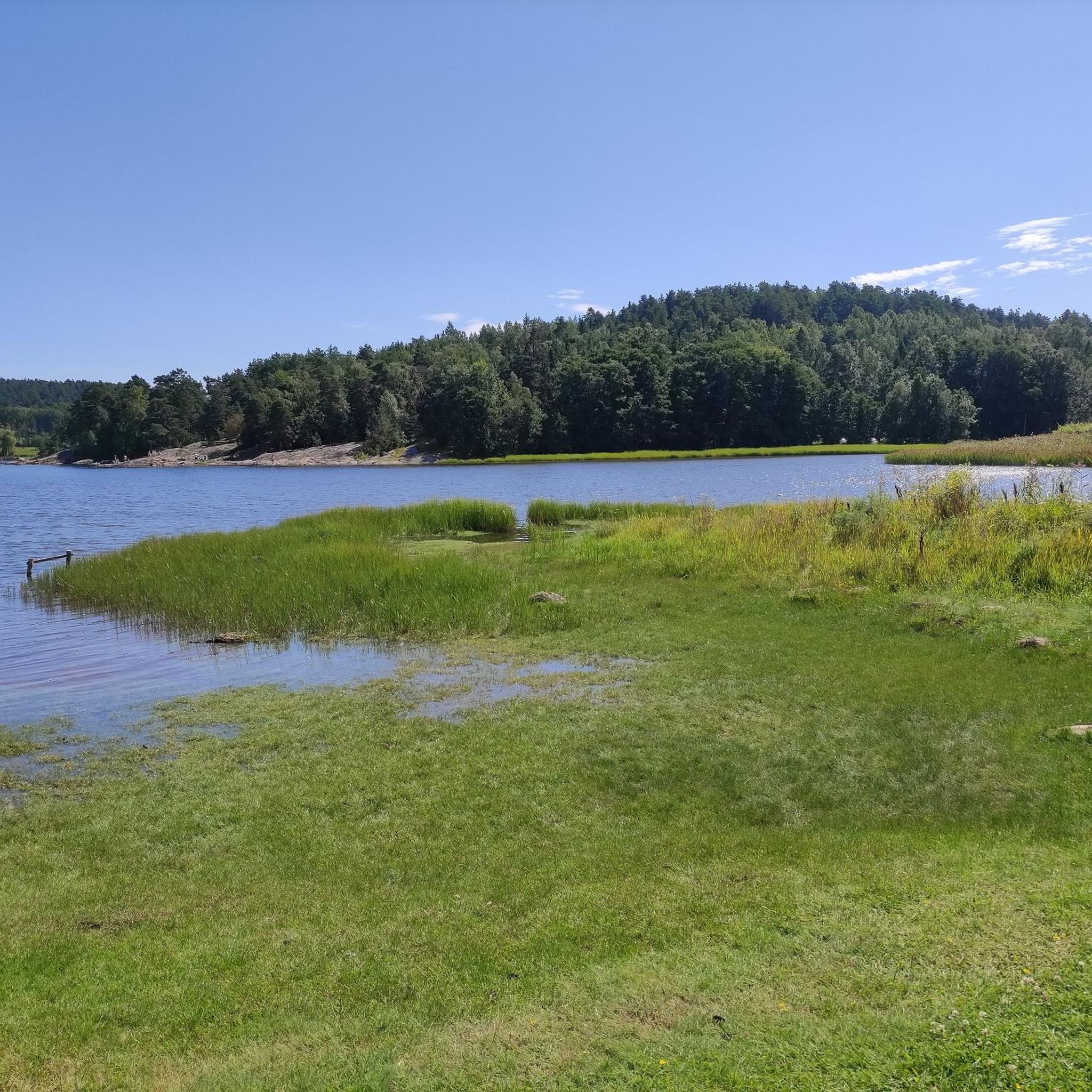
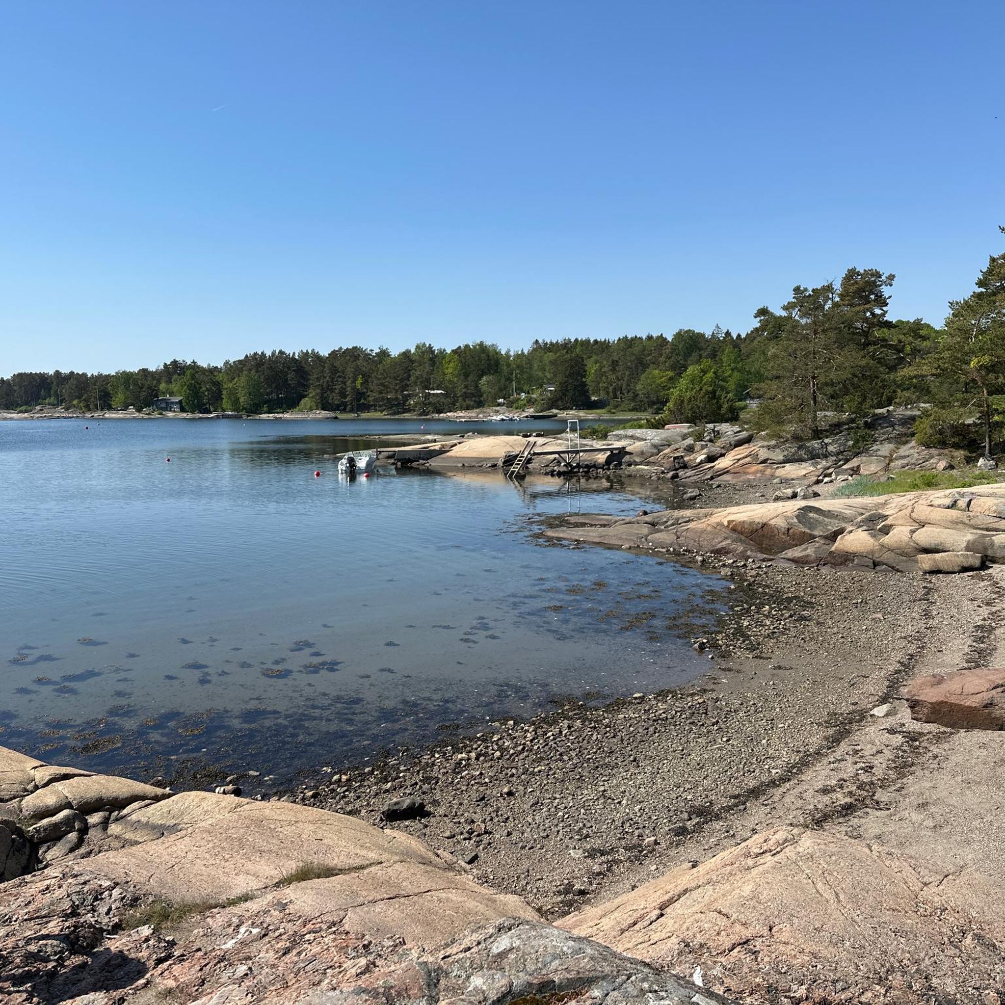
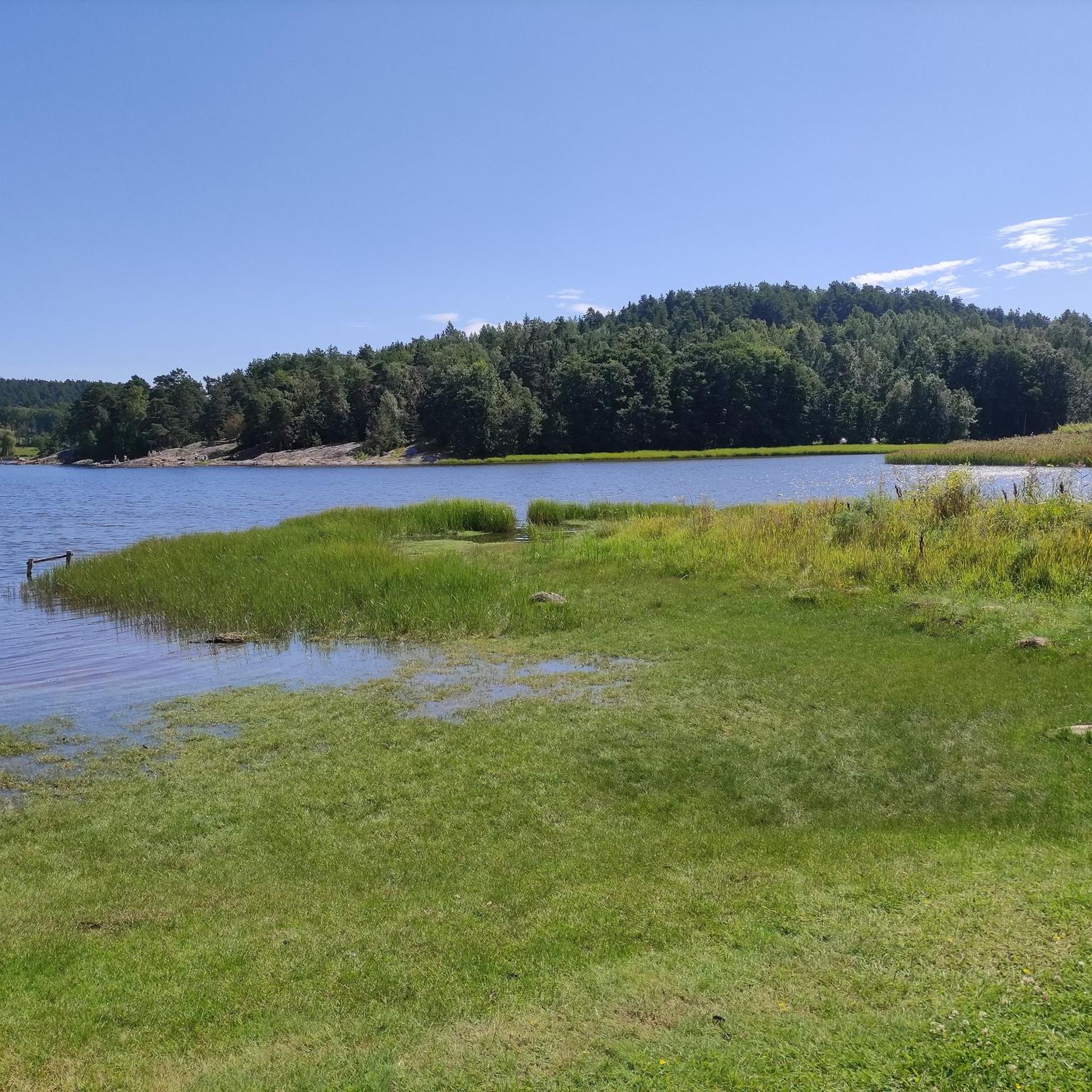
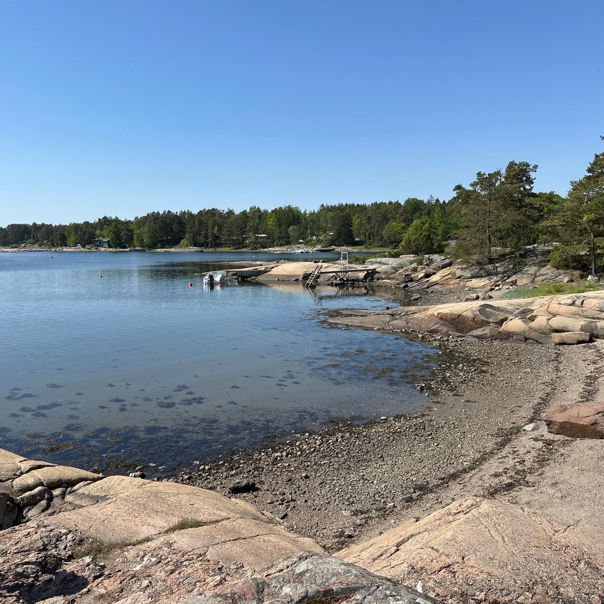
Sparrønningen is an idyllic harbour and swimming spot surrounded by quiet forests and traditional holiday cabins, sitting just steps from the shoreline. It has a wonderfully rural feel while remaining within easy walking distance of the local piers and island trails.
0
0

A small harbour on Husøy with boats, calm water and classic coastal charm.
0
0
Charming red boathouse by the water on Husøy, a classic coastal scene with rocks, sea views and traditional Norwegian character.
0
0

At Verdens Ende, you stand on the ragged edge of Tjøme island within the Færder National Park, overlooking the vast Skagerrak sea. The landscape is dominated by smooth, ancient granite rock formations called "svaberg," which were meticulously polished by glacial retreat during the last ice age. The site's most striking feature is the iconic "vippefyr," a rare, coal-fired bascule lighthouse that serves as a historic silhouette against the horizon. This location offers a powerful sense of maritime solitude, where the rugged coastline meets the open ocean, providing a prime vantage point for watching the shifting northern light and the scattered islands of the surrounding archipelago.
0
0
Frequently Asked Questions
How many hiking trails are available in Nøtterøy?
Nøtterøy offers a wide selection of hiking trails, with over 100 routes available for exploration. These range from easy strolls to more moderate treks, catering to various fitness levels.
Are there easy or family-friendly hiking options in Nøtterøy?
Yes, Nøtterøy is very suitable for families and beginners, with over 70 routes rated as easy. Trails like the Hellastranda loop from Nøtterøy kirke and the Saueløkka loop from Nøtterøy kirke are accessible paths suitable for various skill levels, offering pleasant walks with manageable elevation gains.
What kind of terrain can I expect on Nøtterøy's hiking trails?
Nøtterøy's landscape is characterized by diverse terrain. You'll find extensive coastal paths offering picturesque views, gently hilly areas, especially in the southern and western parts, and unique geological features like monzonite rocks and clear scour marks from the last ice age. The trails often combine forest sections with open coastal stretches.
Are there any circular hiking routes in Nøtterøy?
Yes, many of Nøtterøy's trails are designed as loops, allowing you to start and end at the same point. Examples include the popular Hellastranda loop from Nøtterøy kirke and the Saueløkka loop from Nøtterøy kirke, both offering convenient circular walks.
What are some notable natural features or viewpoints to look out for?
Nøtterøy boasts stunning coastal beauty and unique geology. Hikers can enjoy picturesque views along coastal paths, observe distinctive monzonite rocks, and see evidence of the last ice age. The island's highest point, Veten, offers panoramic views, and areas like Hella to Vrengen provide scenic viewpoints along the Vestfjord. The region's rich biodiversity also adds to the natural appeal.
What attractions or landmarks can I explore near the hiking trails?
Beyond the trails, Nøtterøy and the surrounding Færder Municipality offer several interesting attractions. You can visit Verdens Ende (World's End) Beacon within Færder National Park, known for its dramatic coastal views and distinctive stone lighthouse. Other historical sites include Vikingeodden Tønsberg and ancient burial mounds found around Årøysund.
Is Nøtterøy suitable for dog-friendly hiking?
While specific regulations can vary, many outdoor areas in Norway are generally dog-friendly, provided dogs are kept on a leash, especially during nesting seasons or near livestock. It's always recommended to check local signage or municipality rules for specific trails or nature reserves like Ilene naturreservat to ensure compliance.
What is the best time of year to go hiking in Nøtterøy?
Nøtterøy benefits from favorable climatic conditions, making it enjoyable for hiking across multiple seasons. Spring and summer offer lush greenery and warmer temperatures, ideal for coastal walks. Autumn brings beautiful colors, while winter can provide a unique, serene experience, though conditions may require appropriate gear for snow or ice.
Are there options for public transport to reach trailheads in Nøtterøy?
Nøtterøy is part of the Færder Municipality, which has public transport connections. While specific bus routes to every trailhead might vary, Tønsberg is a central hub with connections to Nøtterøy. It's advisable to check local bus schedules for the most up-to-date information on reaching specific starting points.
What do other hikers enjoy most about hiking in Nøtterøy?
The area is highly rated by the komoot community, with an average score of 4.6 stars from over 190 reviews. Reviewers often praise the diverse natural landscapes, the extensive and well-marked coastal trails, and the rich biodiversity that enhances the hiking experience. The accessibility of many routes for various skill levels is also frequently highlighted.
Are there any historical sites along the hiking routes?
Yes, Nøtterøy has a rich history that can be explored while hiking. You can find ancient burial mounds, particularly around Årøysund, and sites like Søndre Hella feature significant Iron Age graves. The island also played a role in the 19th-century Gunboat War, with former telegraph stations at its highest points, Vardås and Vetan.
Where can I find information about coastal trails in the region?
Nøtterøy is renowned for its coastal paths. For more detailed information on coastal trails in Nøtterøy and neighboring Tjøme, you can refer to resources like Visit Vestfold's guide to coastal trails, which highlights routes like the 8 km stretch from Hella to Vrengen.
Most popular routes around Nøtterøy
Most popular attractions around Nøtterøy

Get inspired with the komoot mobile app


Explore more
Browse the best Hikes in other regions.
