The best walks and hikes around Austrheim
4.7
(130)
488
hikers
19
hikes
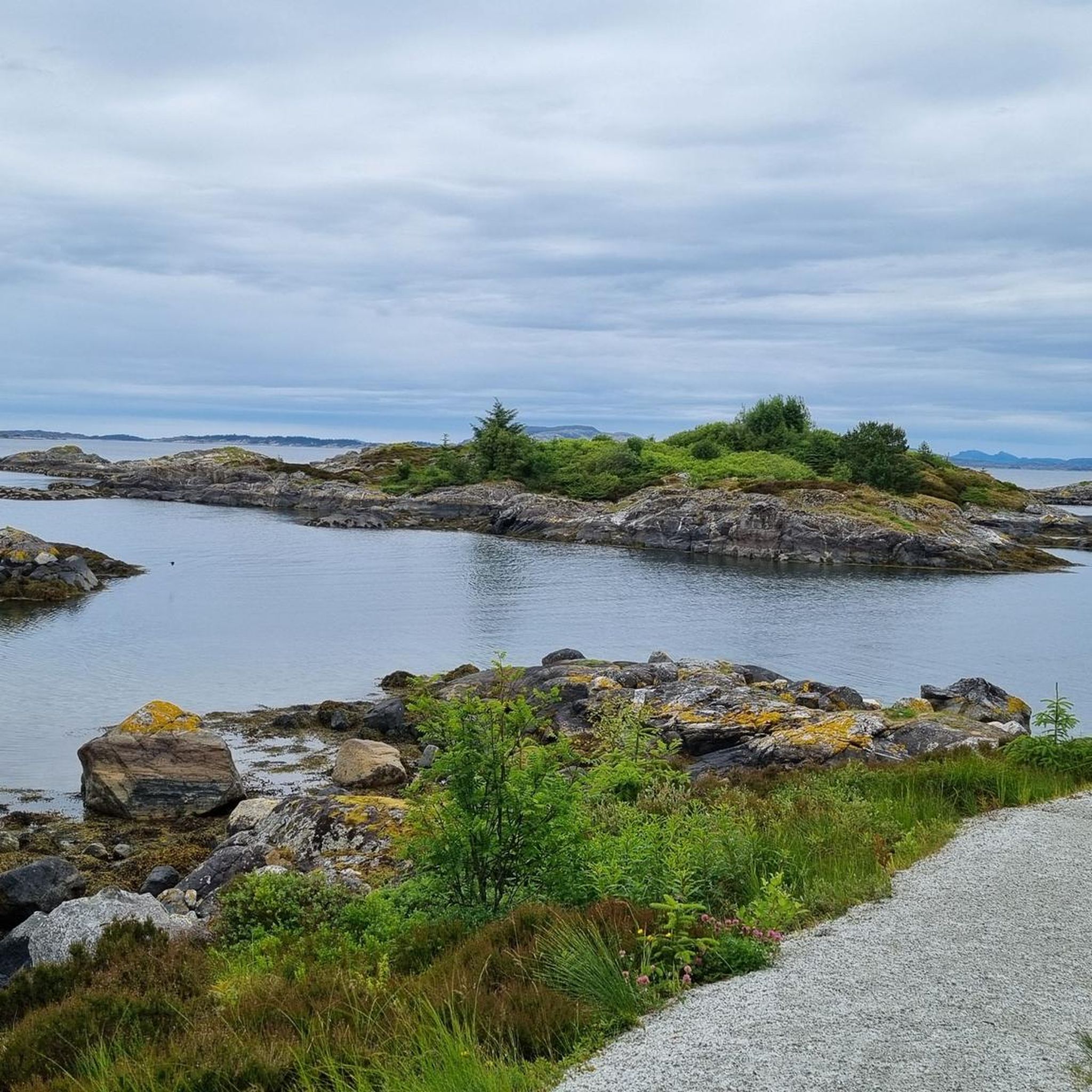
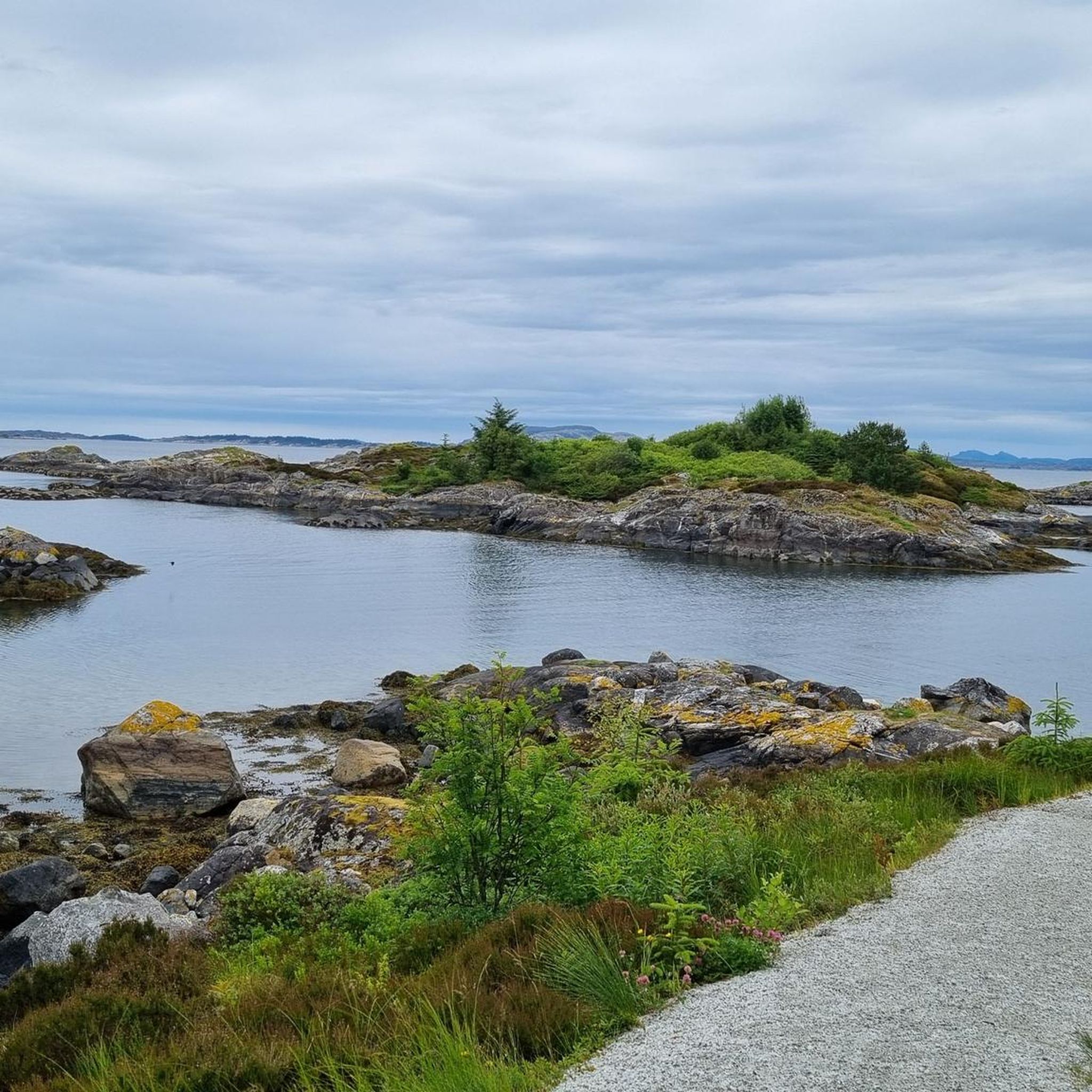
Hiking around Austrheim offers diverse coastal landscapes and unique geographical features. The region is characterized by an archipelago setting with 489 islands, islets, and reefs, providing expansive views of the North Sea. The terrain features a mix of heather and forest, with distant mountains often visible as a scenic backdrop. Austrheim is notably home to Vardetangen, Norway's westernmost mainland point.
Best hiking trails around Austrheim
- The most popular hiking route is Vardetangen loop from Fonnes, a 3.1 miles (5.1…
Last updated: October 8, 2026
5.0
(1)
6
hikers
7.51km
01:56
40m
40m
Easy hike. Great for any fitness level. Easily-accessible paths. Suitable for all skill levels.
2
hikers
4.23km
01:21
20m
20m
Moderate hike. Great for any fitness level. Mostly accessible paths. Sure-footedness required.

4.7
(38)
116
hikers
5.06km
01:17
10m
10m
Easy hike. Great for any fitness level. Easily-accessible paths. Suitable for all skill levels.
4.7
(43)
133
hikers
5.42km
01:23
20m
20m
Easy hike. Great for any fitness level. Easily-accessible paths. Suitable for all skill levels.
4.7
(14)
62
hikers
Moderate hike. Good fitness required. Mostly accessible paths. Sure-footedness required.
Get access to more routes and recommendations from other explorers.
Already have an account?
Our route recommendations are based on thousands of hikes, rides, and runs completed by other people on komoot.
Start today with a free account
Your next adventure awaits.
Popular around Austrheim
Tips from the Community

This small group of traditional naust—wooden boathouses used to store fishing boats and gear—stands alongside old farm buildings, reflecting the close relationship between farming and fishing in coastal western Norway.
0
0
Krossøygavlen marks the end of the path, where the coastal heath meets the open sea. The exposed headland offers uninterrupted views across the North Sea and is a great place to experience the wind, waves and ever-changing light of Norway's outer coast.
0
0


This coastal trail offers stunning views of the ocean and the characteristic coastal landscape of Western Norway. The trail is often a mixture of paths and old gravel roads, running close to the sea and passing by landmarks like the peak Såta and Hellisøy Lighthouse.
0
0
Såta is a very small coastal hill, standing at only 34 meters above sea level. Despite its low elevation, it is a recognized peak on the island, marked by a large stone cairn (varde), and forms part of the scenic North Sea Trail (Nordsjøløypa). From the summit, you get wide, unobstructed views of the North Sea and the surrounding coastline, offering a classic panorama of the rugged, flat coastal landscape.
0
0

One of the many Dagsturhyttas in Norway. They always invite for a break.
0
0
Easy walk, 300m from the road to the peak but no parking! Nice island view.
0
0
Frequently Asked Questions
How many hiking trails are available in Austrheim?
Austrheim offers a selection of 16 hiking trails, ranging from easy strolls to more moderate routes. These trails explore the diverse coastal landscapes and unique geographical features of the region.
Are there easy hiking trails suitable for families or beginners in Austrheim?
Yes, Austrheim has 11 easy hiking trails. The path to Vardetangen, Norway's westernmost mainland point, is particularly suitable for families, wheelchairs, and strollers. You can explore the Vardetangen loop from Fonnes for an accessible experience.
What kind of views can I expect on hikes in Austrheim?
Hiking in Austrheim offers expansive views of the North Sea and the rugged coastline, thanks to its archipelago setting of 489 islands, islets, and reefs. Trails often feature a mix of heather and forest, with the distant mountains of Gulen and Masfjorden visible as a scenic backdrop. For panoramic views, consider a hike to Såta or Piltevarden Summit.
Are there any circular walking routes in Austrheim?
Yes, several circular routes are available. A popular option is the Vardetangen loop from Fonnes, which takes you to Norway's westernmost mainland point. Another is the Aurihytta – Dagsturhytta Fedje – Fedjebjørnen Summit loop from Fedje kyrkje, offering coastal moors and seabird colony views.
What are some notable landmarks or attractions to see while hiking in Austrheim?
Austrheim is home to Vardetangen, Norway's westernmost mainland point, marked by a characteristic stone cairn. Other notable points include Såta, a coastal hill with wide North Sea views, and Piltevarden Summit, which also offers great vistas. You might also encounter the Eidsvågen Fjord Scenic Road, providing spectacular fjord views.
What do other hikers enjoy most about hiking in Austrheim?
The trails in Austrheim are highly rated by the komoot community, with an average score of 4.7 stars from over 100 reviews. Hikers often praise the diverse coastal landscapes, the unique archipelago setting, and the well-maintained paths that offer stunning views of the North Sea.
Can I hike with my dog in Austrheim?
Austrheim's natural landscapes are generally welcoming for dogs, but it's always important to keep them on a leash, especially in areas with grazing sheep or nesting seabirds, to protect wildlife and livestock. Specific trail regulations may vary, so check local signage.
Are there any challenging hiking routes in Austrheim?
While Austrheim offers many easy and moderate trails, some routes, particularly those on islands like Fedje or around Byrknesfjellet, can be more demanding. For example, the Lake at Byrknesfjellet – Veten Summit loop from Byrknes involves significant elevation gain, requiring good fitness and sure-footedness.
Where can I find amenities like cafes or accommodation near the hiking trails?
Kilstraumen Brygge serves as a natural starting point for many outdoor activities in Austrheim and offers amenities. For more information on accommodation and other services, you can check resources like Visit Bergen's Austrheim page or Visit Norway's listing for Kilstraumen Brygge.
Is public transport available to reach hiking trailheads in Austrheim?
Public transport options to specific trailheads in Austrheim may be limited due to its coastal and island geography. It is advisable to research local bus or ferry schedules in advance if you plan to rely on public transport. Many visitors opt for personal vehicles to access the more remote starting points.
What is the best time of year to go hiking in Austrheim?
The best time for hiking in Austrheim is typically during the warmer months, from late spring to early autumn (May to September), when the weather is milder and the days are longer. This period offers the most pleasant conditions for enjoying the coastal trails and views. Winter hiking is possible but requires appropriate gear for potentially wet and windy conditions.
Are there opportunities for wild swimming near hiking trails in Austrheim?
Given Austrheim's extensive coastline and numerous islands, there are opportunities for wild swimming. Årvikane beach is a known spot for swimming. While not directly adjacent to all hiking trails, many coastal walks will bring you close to suitable swimming locations, especially during the summer months.
Most popular routes around Austrheim
Most popular attractions around Austrheim

Get inspired with the komoot mobile app


Explore more
Browse the best Hikes in other regions.
