The best MTB trails around Vierherrenborn
4.6
(1609)
5,083
riders
269
rides
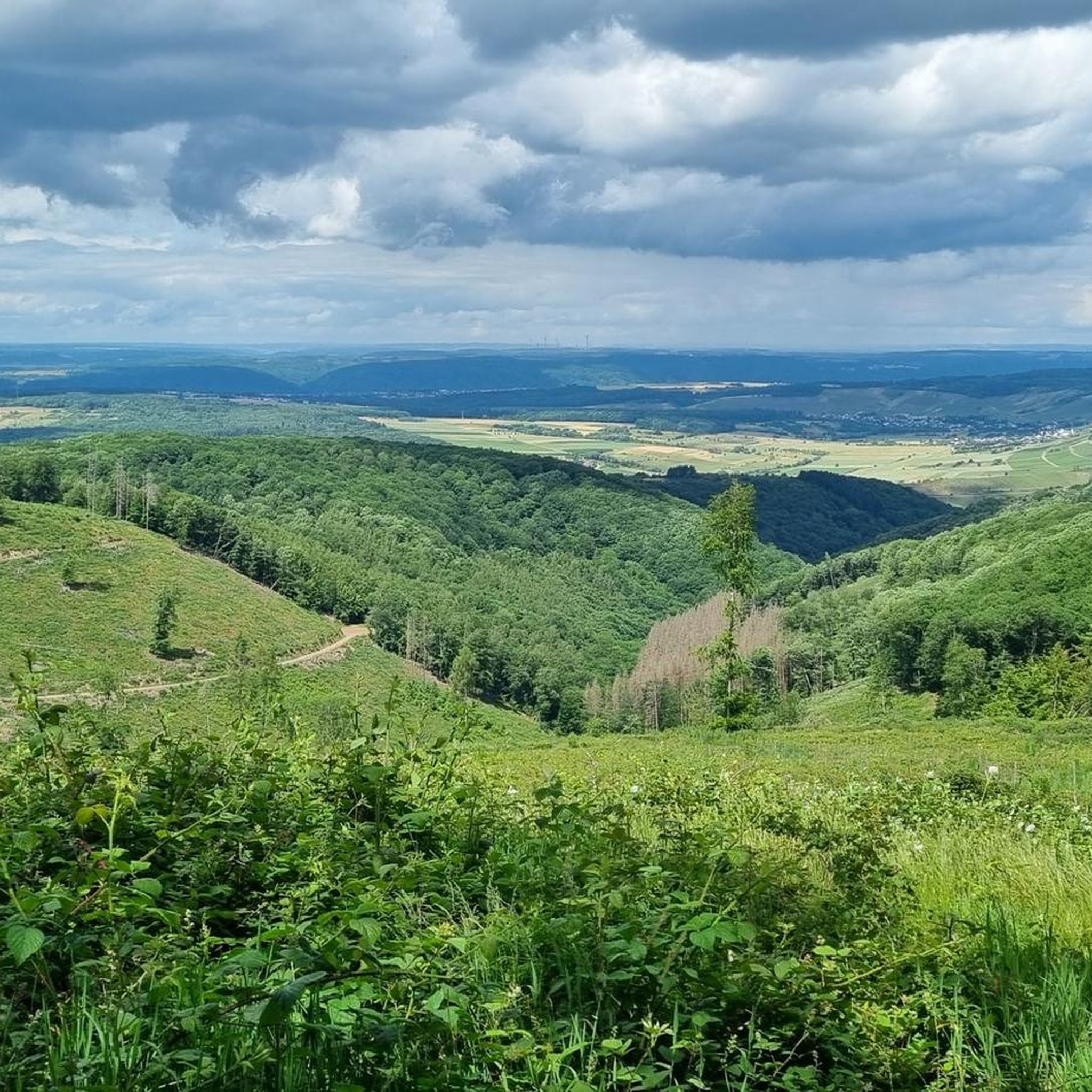
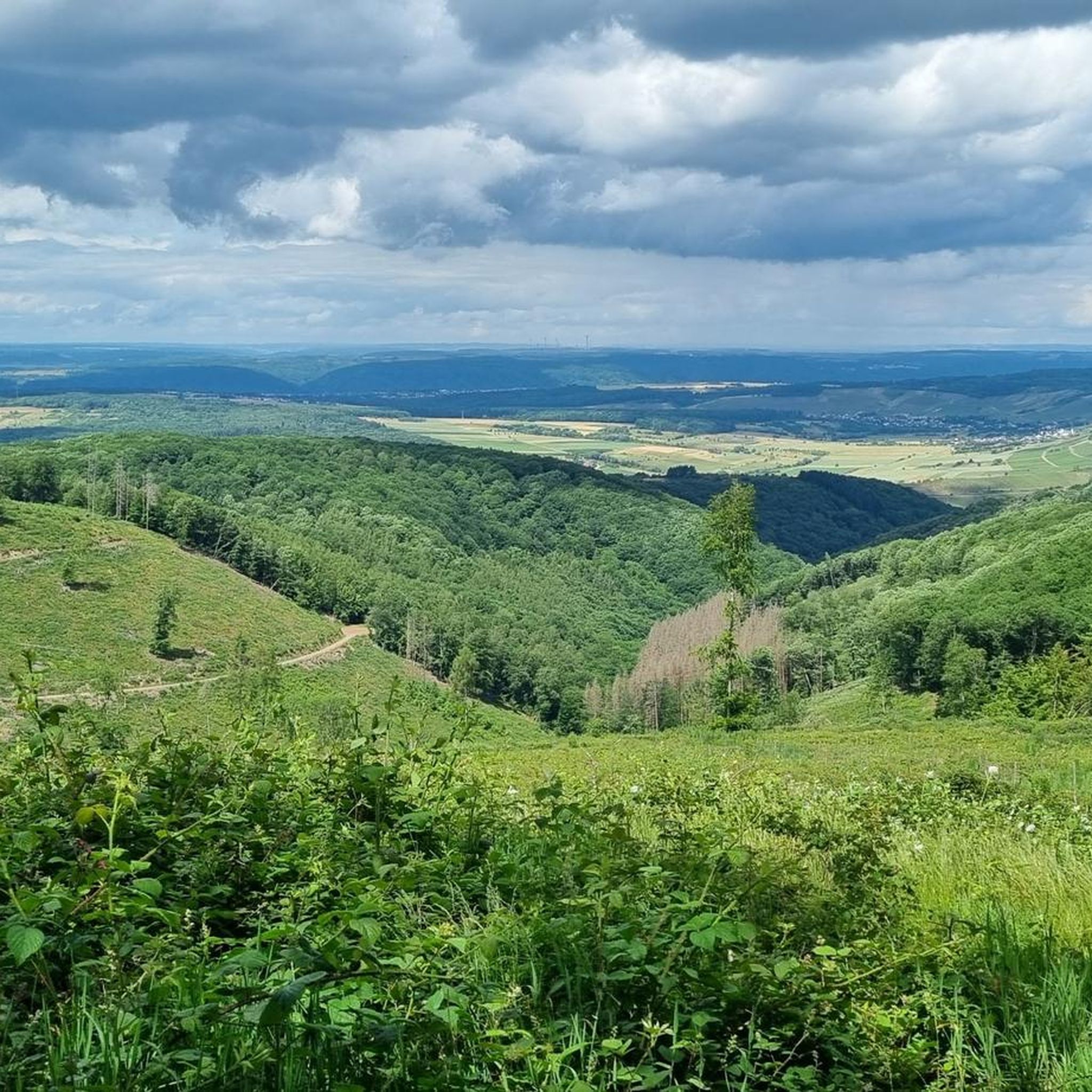
Mountain biking around Vierherrenborn offers access to varied terrain within the Saar-Hunsrück Nature Park and the Hochwald holiday region. The landscape features paths through river valleys, over ridges, and through tranquil forests. Riders can expect elevations of approximately 400 to 500 meters, providing views of the surrounding Hunsrück hills. This area is characterized by green spaces, fields, and extensive forested sections, ideal for diverse mountain bike routes.
Best mountain bike trails around Vierherrenborn
- The most popular mountain bike trail is…
Last updated: October 17, 2026
5.0
(13)
24
riders
34.3km
02:20
370m
370m
Moderate mountain bike ride. Good fitness required. Suitable for all skill levels.
4.5
(2)
15
riders
20.9km
01:33
300m
300m
Moderate mountain bike ride. Great for any fitness level. Advanced riding skills necessary.

5.0
(1)
7
riders
Moderate mountain bike ride. Good fitness required. Suitable for all skill levels.
5.0
(1)
8
riders
19.5km
01:20
230m
230m
Easy mountain bike ride. Great for any fitness level. Suitable for all skill levels.
4.0
(1)
5
riders
22.4km
02:11
500m
510m
Moderate mountain bike ride. Good fitness required. Advanced riding skills necessary.
Get access to more routes and recommendations from other explorers.
Already have an account?
Our route recommendations are based on thousands of hikes, rides, and runs completed by other people on komoot.
Start today with a free account
Your next adventure awaits.

Tips from the Community

The Ruwer-Hochwald cycle path is a well-developed cycle path on a former railway line, therefore only a moderate gradient of an average (!) of one percent - but you can still feel it, both when cycling from Trier-Ruwer to Hermeskeil (uphill, about 400 meters of altitude on the 50-kilometer route) and vice versa downhill. In the lower section, it goes through beautiful forest, further up then through more open landscape - always along the course of the Ruwer river. In the towns along the route, there are opportunities to stop for refreshments. If you only want to cycle the route in one direction, you can use the RadBus line 222 for the other direction (from April 1st to November 1st on weekends and public holidays; daily during Rhineland-Palatinate school holidays; also e-bikes). Attention - it is recommended to book in advance to secure a place for your bike. Info at https://www.radbusse.de/pages/radbusse/hunsrueck/ruwer-hochwald-222.php, timetable inquiries at https://www.vrt-info.de/fahrt-planen.
0
0

absolutely great cycle path - can only recommend it!
1
0

beautiful nature and great bike path
0
0

The view is very beautiful, but the hike has several boring sections. I would therefore enjoy the view while hitchhiking and then do another hike, which isn't usually my style.
0
0

Beautiful beer garden on Schillinger See Great for a break
0
0

Very well-maintained and idyllic complex near the reservoir
0
0

A great place with wonderful hiking trails
0
0

Beautiful facility behind the reservoir
0
0
Frequently Asked Questions
How many mountain bike trails are there around Vierherrenborn?
The Vierherrenborn area offers a wide selection of mountain bike trails, with over 270 routes available. These range from easy to challenging, catering to various skill levels.
What kind of terrain can I expect on mountain bike trails near Vierherrenborn?
You can expect diverse terrain, characteristic of the Saar-Hunsrück Nature Park and Hochwald holiday region. Trails lead through fascinating river valleys, over ridges with expansive views, and through tranquil, cool forests. The region features elevations of approximately 400 to 500 meters, providing varied topography ideal for mountain biking.
Are there any easy mountain bike trails suitable for beginners around Vierherrenborn?
Yes, there are 47 easy mountain bike trails around Vierherrenborn. These routes are generally less demanding in terms of elevation gain and technical difficulty, making them suitable for beginners or those looking for a more relaxed ride.
What are some popular moderate mountain bike trails in the Vierherrenborn area?
Many mountain bikers enjoy the moderate trails. One popular option is the Losheim Reservoir – Losheim am See Reservoir loop from Baldringen, a 34.2 km route. Another well-regarded trail is the Ruwer-Hochwald Cycle Path – Schillinger Lake loop from Baldringen, which is 20.9 km long and takes you through scenic areas.
Are there challenging mountain bike routes for experienced riders?
Yes, for experienced riders seeking a challenge, there are 27 difficult mountain bike trails in the Vierherrenborn region. These routes typically feature significant elevation gains and more technical sections, providing a demanding and rewarding experience.
What do other mountain bikers say about the trails in Vierherrenborn?
The mountain bike trails around Vierherrenborn are highly rated by the komoot community, holding an average score of 4.7 stars from over 1,100 reviews. Nearly 4,000 mountain bikers have explored the varied terrain, often praising the well-maintained paths and the beautiful natural surroundings of the Saar-Hunsrück Nature Park.
Are there any notable landmarks or viewpoints along the mountain bike trails?
Yes, the region offers several interesting landmarks and viewpoints. You might encounter natural monuments like Adelsfelsen or the Kastel Rock Trail and Mushroom Rock. For panoramic views, consider routes that pass by summits such as the Maunert Summit Cross or the Hostenturm, which is the highest point on the Saargau.
Can I find mountain bike routes that offer views of the Saar or Moselle rivers?
Yes, the region's proximity to these rivers means you can find routes with scenic river views. For example, the View of Irsch – View of the Saar Loop at Hamm loop from Saarburg-Kell offers glimpses of the Saar. The broader Moselle region also boasts extensive trail networks that often provide views of the Moselle landscape.
Are there mountain bike trails that pass by lakes?
Yes, some routes incorporate lakes into their scenery. The Ruwer-Hochwald Cycle Path – Schillinger Lake loop from Baldringen is a great example, leading you past Schillinger Lake, offering a refreshing change of scenery during your ride.
What are the elevation gains like on mountain bike trails near Vierherrenborn?
The elevation gains vary significantly depending on the trail's difficulty. Moderate routes like the Ockfener Bockstein Vineyard – Geisberg Transmission Tower loop from Saarburg-Kell can have around 485 meters of ascent, while longer, more challenging routes may feature over 600 meters of elevation gain, such as the Losheim Reservoir – Losheim am See Reservoir loop from Hentern.
Are there any specific mountain biking parks or dedicated facilities nearby?
While Vierherrenborn itself is integrated into a broader trail network, the wider Trier and Moselle region features dedicated MTB trail parks. These include facilities in places like Mehring and Trassem, which offer varied trails, including freeride/downhill sections, jumps, and enduro routes, for those seeking more specialized mountain biking experiences.
Where can I find more information about mountain biking in the wider Moselle region?
For more information on mountain biking opportunities across the broader Moselle region, including details on over 500 kilometers of trails across 17 routes, you can visit the Visit Mosel website.
Most popular attractions around Vierherrenborn

Get inspired with the komoot mobile app


Explore more
Browse the best MTB trails in other regions.
