The best cycling routes around Mont-De-L'Enclus
4.4
(18)
324
riders
40
rides
Touring cycling around Mont-De-L'Enclus offers diverse routes through the "Pays des Collines," characterized by its undulating terrain and varied landscapes. The region features a network of well-maintained paths, including segments of the RAVeL greenways, which utilize old railway lines and towpaths. Cyclists can experience both challenging ascents and picturesque descents, often leading to expansive panoramic views across the Hainaut region. The extensive Kluisbos forest, one of the highest points in the area, provides dense woodland sections for exploration.
Best touring…
Last updated: October 15, 2026
5.0
(1)
83
riders
44.3km
02:46
450m
450m
Hard bike ride. Good fitness required. You may need to push your bike for some segments of this route.
36
riders
Moderate bike ride. Good fitness required. Mostly paved surfaces. Suitable for all skill levels.

8
riders
48.7km
03:19
280m
280m
Hard bike ride. Good fitness required. You may need to push your bike for some segments of this route.
5.0
(1)
11
riders
34.1km
02:02
230m
230m
Moderate bike ride. Good fitness required. Mostly paved surfaces. Suitable for all skill levels.
5.0
(5)
17
riders
19.5km
01:06
50m
50m
Easy bike ride. Great for any fitness level. Mostly paved surfaces. Suitable for all skill levels.
Get access to more routes and recommendations from other explorers.
Already have an account?
Our route recommendations are based on thousands of hikes, rides, and runs completed by other people on komoot.
Start today with a free account
Your next adventure awaits.
Popular around Mont-De-L'Enclus
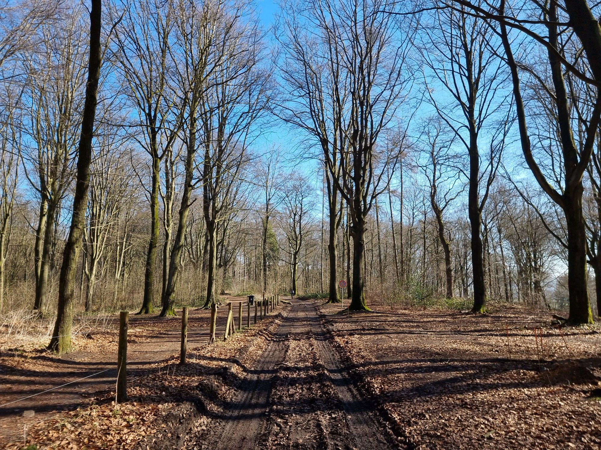
Grande Randonnée GRavel — Western Hainaut
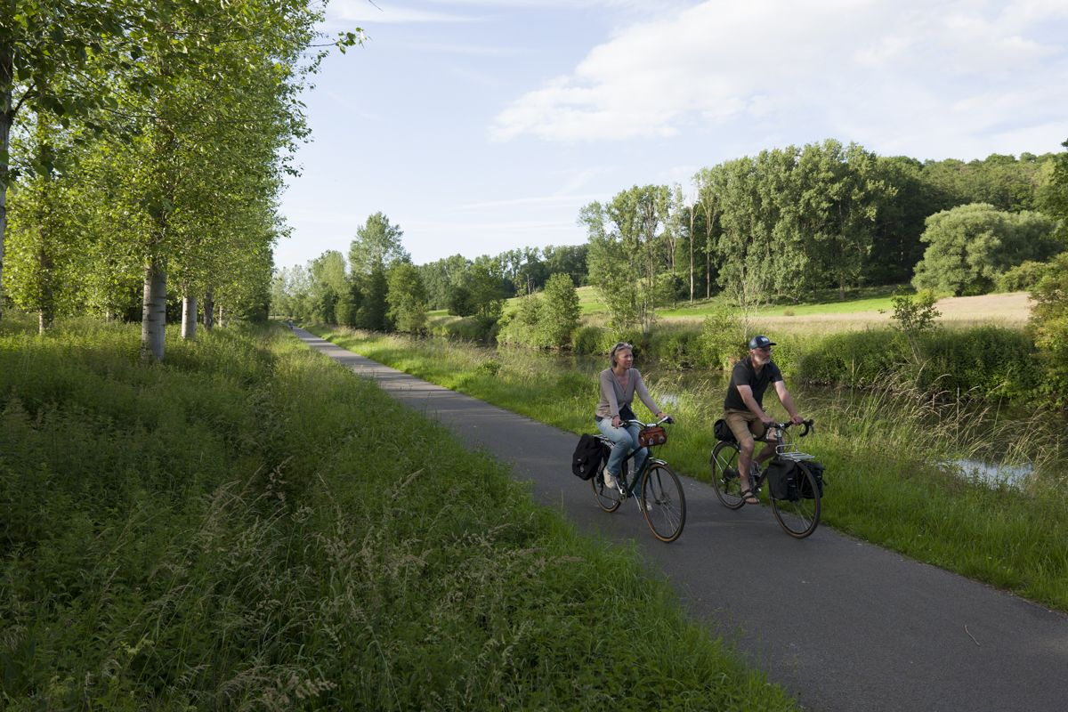
Cycling from Bethuné to Brussels – Eurovelo 5
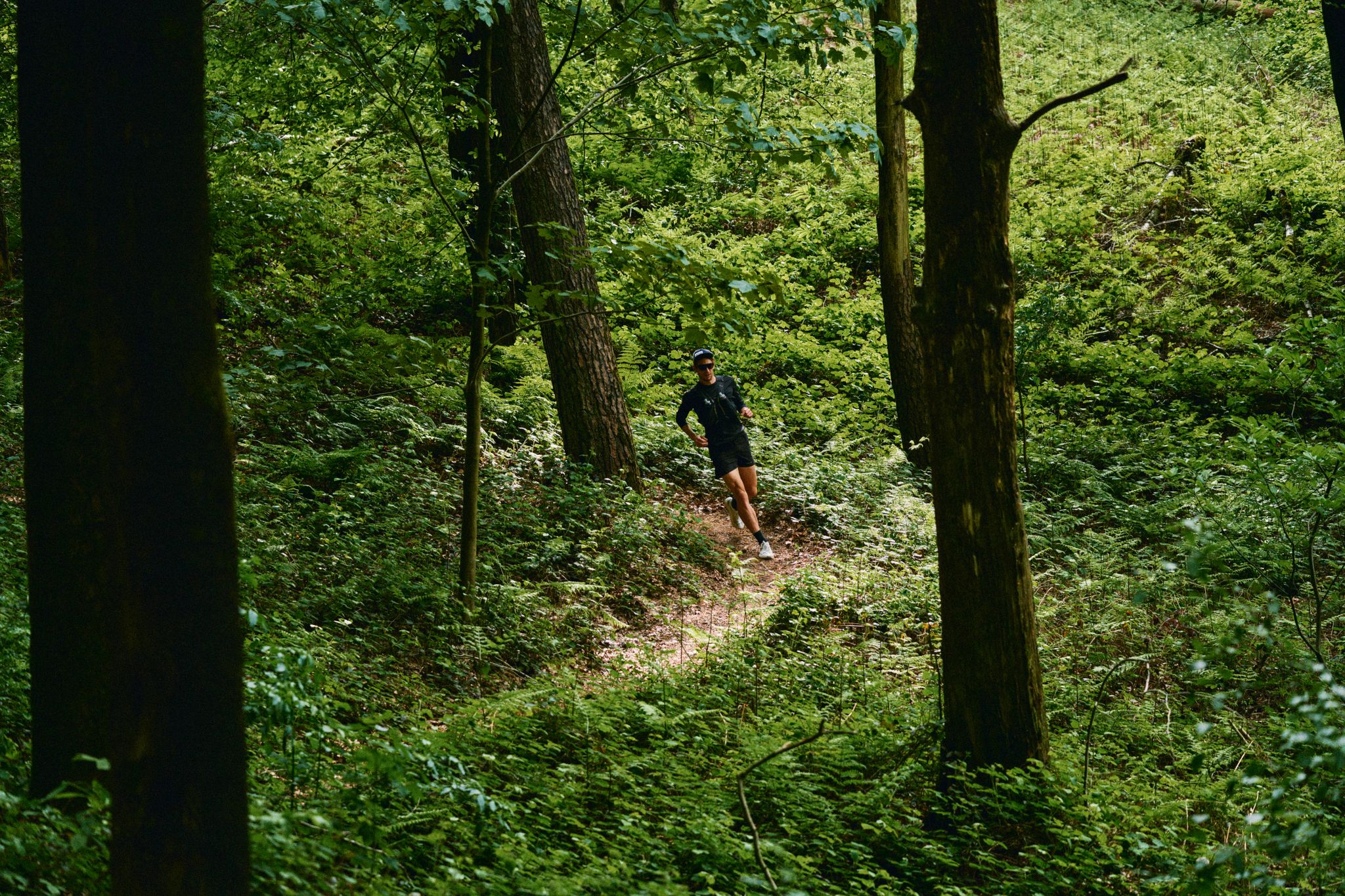
Through forests and fields – trail running in the Flemish Ardennes

Hiking around Mont-De-L'Enclus
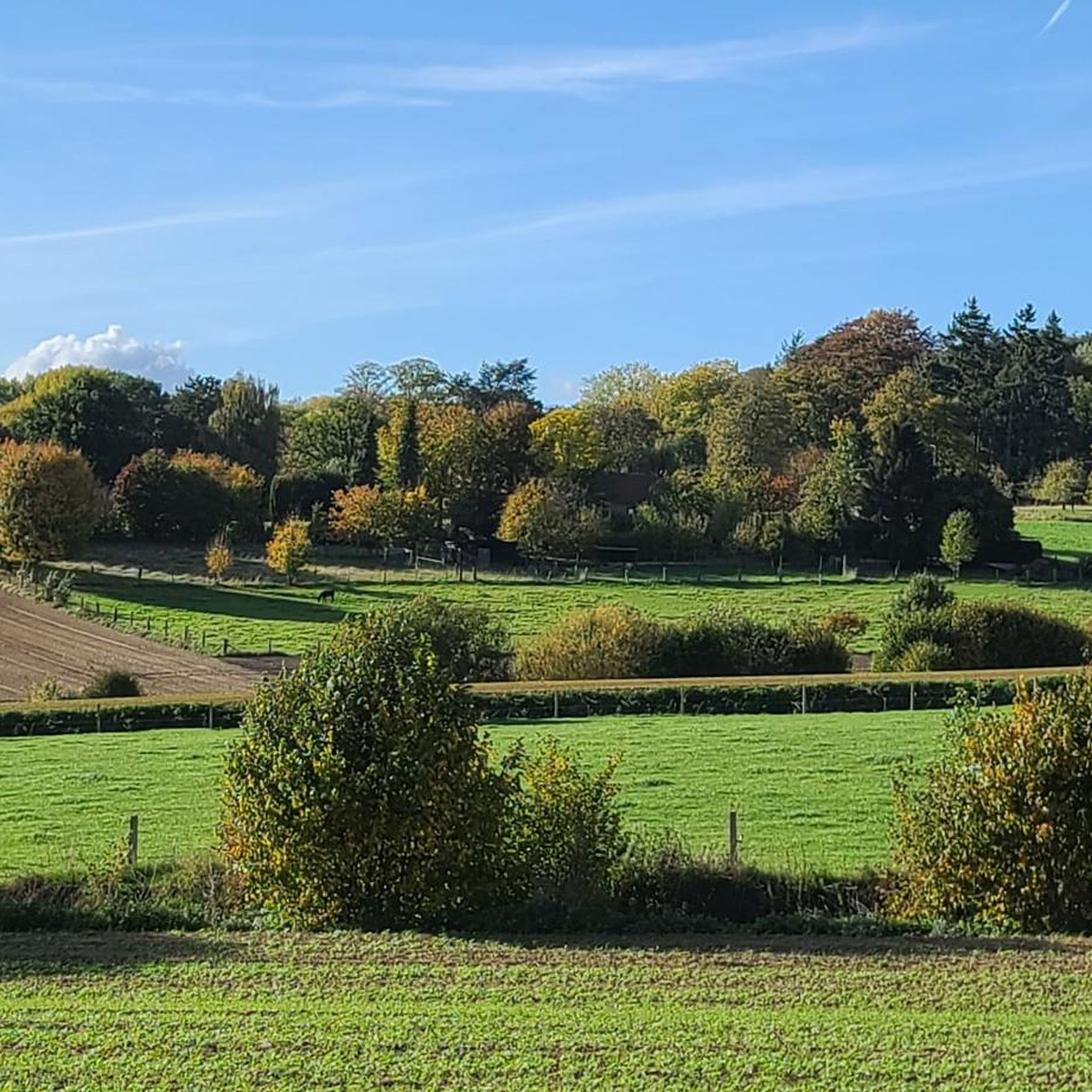
Running Trails around Mont-De-L'Enclus

MTB Trails around Mont-De-L'Enclus

Road Cycling Routes around Mont-De-L'Enclus

Gravel biking around Mont-De-L'Enclus


Tips from the Community

The interesting historical fact about the signal towers: Built on an ancient grave: did you know that the history of this place goes back much further than the French period? The tower was deliberately built on top of a prehistoric burial mound from the Bronze Age! As if that weren't mystical enough, old folk tales whisper that the Bosgeuzen (Protestant rebels) hid here during the 16th-century religious wars and secretly addressed the people in this then-impenetrable forest. The Language Border Trick: there's also a modern geographical fact! Until 1963, the Flemish tourist sector proudly stated that this tower marked the highest point in the province of East Flanders. However, when the Belgian language border was definitively established in that year, the border was shifted a few kilometers. Since then, the white tower has officially been on Walloon territory (sub-municipality Orroir)!
2
0
Correction regarding the Kluisberg Tower - Willem VS highlight Hey Willem, I think there's been a historical mistake in your highlight. Your information about the Kluisberg Tower is largely correct, but the part about André Dumont and the 1901 drilling tower belongs to a different location. The discovery of the first coal in the Belgian Kempen region by André Dumont took place on the night of August 1st to 2nd, 1901, in As (Limburg). The monument that commemorates this discovery there indeed refers to a historical drilling tower. The white, round tower on the Kluisberg in Kluisbergen, on the other hand, has nothing to do with coal mining or André Dumont. It is a 19th-century military construction, built here because of the strategic location of the Kluisberg (141 meters high). During the French/Napoleonic period, the tower served as an observation post and optical signal tower. Through coded light or signal messages, military messages could be transmitted over long distances. The cylindrical brick construction was therefore primarily designed as a sturdy and high lookout post. The white color was only added later by whitewashing. In short: it's likely that two completely different stories have become mixed up here: the mining history of As in Limburg and the Napoleonic military history of the Kluisberg. For completeness, I would completely remove the part about André Dumont and the drilling tower from the highlight. This way, visitors will receive the correct historical information.
2
0
Anyone walking or cycling through the Kluisbos cannot miss this characteristic white brick tower. Although the structure stands peacefully today, it has a turbulent past. The construction was used in the 19th century by the army of Napoleon Bonaparte. Due to its high, strategic location on the 141-meter-high hill, the tower served as a military lookout and signal tower at the time to transmit coded optical signals.
1
0


In the Kluisbos - on top of the 141-meter-high Kluisberg - you'll never run out of walking or cycling opportunities. This is the largest forest in the Flemish Ardennes.
5
0
A practical and smooth connection for cyclists and pedestrians between Flanders and Wallonia.
6
0

A nice climb nearby and with breathtaking views.
1
1

Beautiful climb that is very well known among cycling fanatics.
1
1
Frequently Asked Questions
How many touring cycling routes are available in Mont-De-L'Enclus?
Mont-De-L'Enclus offers over 30 touring cycling routes, catering to various skill levels. You'll find a mix of easy, moderate, and difficult paths to explore the region's diverse landscapes.
What kind of terrain can I expect when touring cycling in Mont-De-L'Enclus?
The region, known as the "Pays des Collines" (Hilly Country), features undulating terrain with both challenging ascents and picturesque descents. You'll encounter routes on well-maintained paved surfaces, as well as some unpaved segments, particularly within the dense Kluisbos forest. The RAVeL network provides smoother sections along converted railway lines and towpaths.
Are there any easy touring cycling routes suitable for beginners or families?
Yes, Mont-De-L'Enclus has 14 easy touring cycling routes. A good option for a less strenuous ride is the IJzerweg Bridge – Avelgem Scheldt Meadows loop from Mont-de-l'Enclus, which offers a relatively flat profile and takes you through scenic meadows.
What are some notable natural features or viewpoints along the cycling routes?
The expansive Kluisbos forest is a significant natural feature, offering dense woodland and, in springtime, vibrant displays of wood hyacinths. Clearings within the forest provide excellent panoramic views across the Hainaut region. You can also find climbs like Oude Kwaremont and Paterberg Climb, which offer rewarding vistas.
What historical landmarks or attractions can I see while cycling in the area?
While cycling, you can explore several historical sites and castles. For instance, the region features attractions such as Beukenhof Castle and Anvaing Castle. The Kluisberg - Mont de l'Enclus itself is a notable landmark.
Are there any circular touring cycling routes in Mont-De-L'Enclus?
Yes, many routes in Mont-De-L'Enclus are designed as loops, allowing you to start and end at the same point. An example is the The Church of Saint Hermes – Pond of Arc-Ainières loop from Orroir, which provides a scenic circular journey.
What do other touring cyclists enjoy most about cycling in Mont-De-L'Enclus?
The area is highly rated by the komoot community, with an average score of 4.6 stars from over 40 reviews. Cyclists often praise the varied terrain, the beautiful scenery of the "Pays des Collines," and the well-maintained network of paths, including the accessible RAVeL greenways.
Is Mont-De-L'Enclus suitable for more challenging touring cycling experiences?
Absolutely. Mont-De-L'Enclus offers 9 difficult touring cycling routes for those seeking a challenge. These routes often feature significant elevation gain and can include climbs like the Karnemelkbeekstraat. The Mont-Saint-Aubert – View of Mont-Saint-Aubert loop from Escanaffles is a demanding option, covering nearly 50 km with substantial climbing.
Where can I find tourist information or amenities like cafes and restaurants?
At the summit of Mont de l'Enclus, you'll find the Maison des Randonneurs (Hikers' House), which offers comprehensive tourist information and maps. This area also features various cafés, restaurants, and playgrounds, making it an ideal stop for refueling and relaxation during your ride.
What is the best time of year to go touring cycling in Mont-De-L'Enclus?
Spring and autumn are generally ideal for touring cycling in Mont-De-L'Enclus, offering pleasant temperatures and beautiful scenery. In spring, the Kluisbos forest is particularly stunning with blooming wood hyacinths. Summer can also be enjoyable, though it's wise to start earlier in the day to avoid the midday heat.
Are there routes that incorporate the Kluisbos forest?
Yes, the Kluisbos forest is a central feature of many routes. For example, the Kluisbos – Karnemelkbeekstraat Climb loop from Russeignies takes you directly through this dense woodland, offering a chance to experience its natural beauty and tackle a notable climb.
Can I access Mont-De-L'Enclus cycling routes using public transport?
The region's RAVeL network, which utilizes old railway lines, suggests good connectivity. While specific public transport links directly to trailheads may vary, the general infrastructure is designed to be accessible for non-motorized users. It's advisable to check local bus or train schedules to nearby towns for the most current information on reaching the starting points of routes.
Are there any routes that follow canals or rivers?
Yes, the RAVeL network in the region includes routes that utilize old railway lines and towpaths. Notably, a RAVeL route runs from Leers-Nord to Russeignies, offering a journey along a canal and river, passing through the Pays des Collines nature reserve. The EuroVelo 5 route also passes through, following the Espierres canal and Scheldt river.
Most popular routes around Mont-De-L'Enclus
Most popular attractions around Mont-De-L'Enclus

Get inspired with the komoot mobile app


Explore more
Browse the best Cycling routes in other regions.
