The best road cycling routes around Verdabbio
4.6
(57)
1,071
riders
15
rides
Road cycling routes around Verdabbio are characterized by varied terrain, including challenging mountain passes and scenic river valleys. The region features routes that traverse through alpine landscapes, alongside the Calancasca River, and past historical structures. Road cyclists can expect a mix of ascents and descents, with views of the surrounding Grisons mountains and local villages.
Best road cycling routes around Verdabbio
- The most popular road cycling route is Graubünden Route: San Bernardino Pass to Bellinzona, a 50.0 miles (80.5…
Last updated: October 10, 2026
4.2
(5)
306
riders
80.5km
04:39
1,880m
1,880m
Cycle the difficult 50-mile Graubünden Route from San Bernardino Pass to Bellinzona, featuring a dramatic alpine-to-Mediterranean descent.
4.0
(2)
61
riders
41.7km
03:08
1,710m
1,710m
This difficult 25.9-mile road cycling loop in Val Arbedo offers 5596 feet of elevation gain, alpine views, and varied terrain.

4.8
(8)
141
riders
40.0km
01:35
140m
140m
Easy road ride. Great for any fitness level. Mostly well-paved surfaces and easy to ride.
5.0
(9)
75
riders
Moderate road ride. Good fitness required. Mostly well-paved surfaces and easy to ride.
4.7
(9)
40
riders
Moderate road ride. Good fitness required. Mostly well-paved surfaces and easy to ride.
Get access to more routes and recommendations from other explorers.
Already have an account?
Our route recommendations are based on thousands of hikes, rides, and runs completed by other people on komoot.
Start today with a free account
Your next adventure awaits.
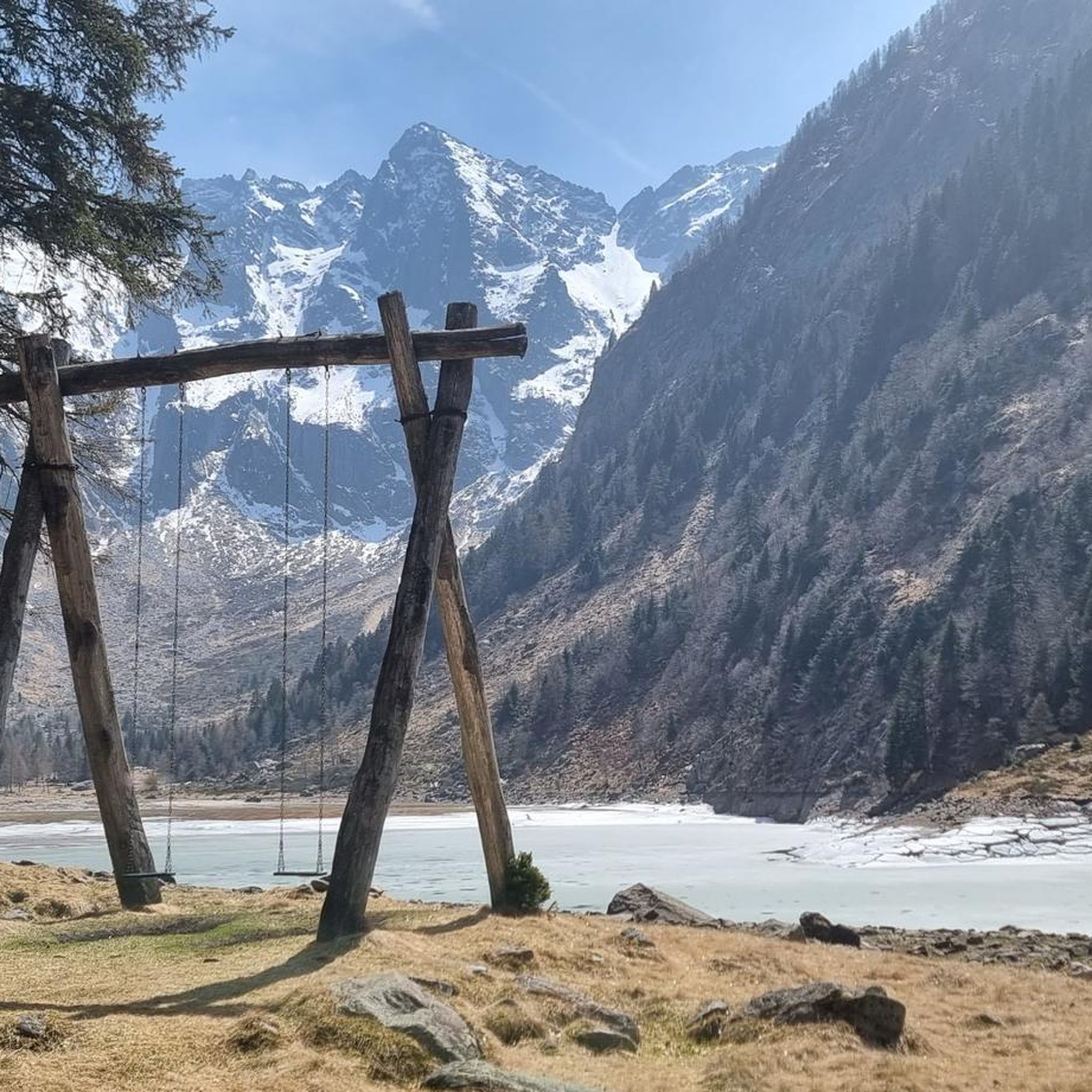
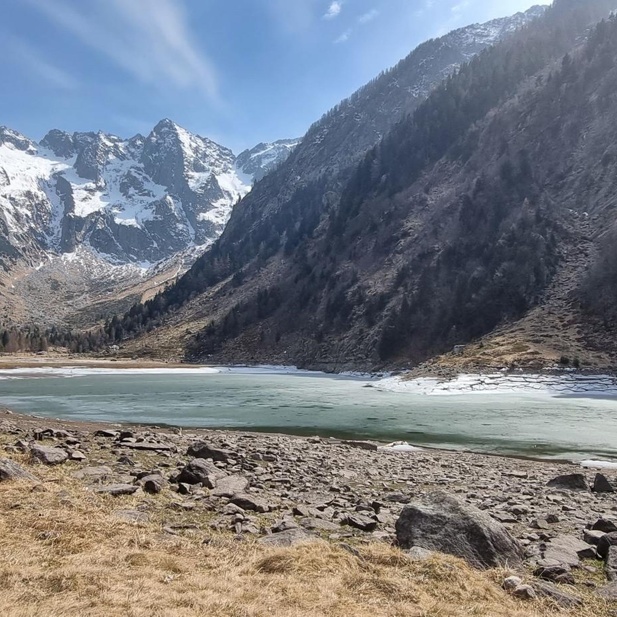
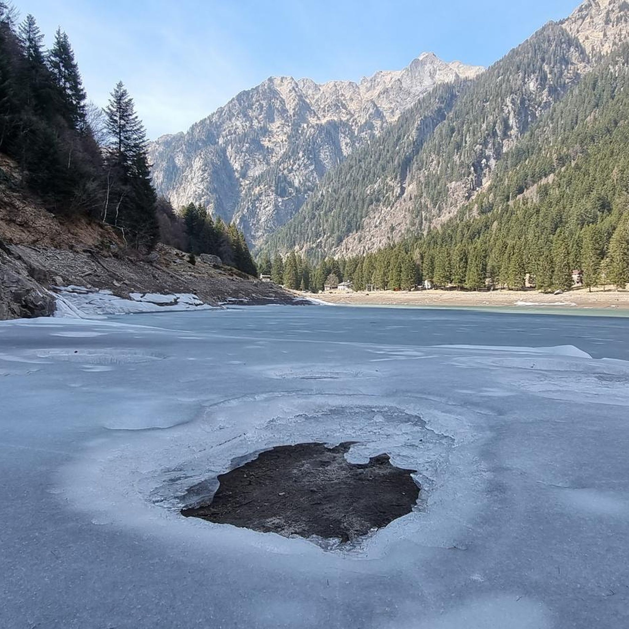

Other adventures around Verdabbio

Tips from the Community

Went many times - departure from Ascona - beautiful but this June the sun exhausted us
0
0

The old track bed is now a very beautiful cycle path.
0
0

Monte Laura is located at around 1,400 meters above Roveredo. The small hamlet is accessible via a winding road from the village and is spread loosely over the slopes. From up here, you have a beautiful view of the Misox valley and are quickly out of the valley hustle and bustle.
0
0

Station, Grono - (1907-2013) History of the BM With the inauguration of the new San Bernardino motorway (1970), the small, narrow-gauge Mesolcina railway, with no direct connection to the nearby Gotthard railway, appeared obsolete. Starting in 1972—amidst lively protests from the Moesa population—passenger service was discontinued and replaced by P.T.T. buses. After the loss of three out of five electric locomotives due to serious accidents (1969) and the damage to the Soazza-Mesocco section in the 1978 flood, the length of the railway line was significantly reduced on the Castione-Cama stretch. The Rhaetian Railway (which had absorbed the BM between 1942 and 1943 during the severe economic crisis) decided to store its rolling stock in a disused factory in the Grono industrial area, which became a large depot and workshop for overhauling the bogies. This space will be the starting point for the redevelopment of what remains of the Bellinzona-Mesocco electric railway for tourism. In 1985, the Friends of the Mesolcinese Railway Association (AAFM) was founded, and in the summer of 1995 the first Sunday passenger service was inaugurated, a service that continued every summer for the next 18 years. In 2000, the Association transformed into the Tourist Railway Operations Company (SEFT) and recovered an original BM electric locomotive (purchased by the Gotthard Railway Club in 1980), built in Prague in 1909 before being sold to France. In 2003, the Rhaetian Railway also discontinued its freight service, and SEFT was granted another decade of passenger transport. On October 27, 2013, the last tourist run between Castione and Cama took place, definitively ending railway operations in Mesolcina. Since 2020, a Swiss electric locomotive with first and second class seats (1933) and a Belgian freight car (1889) used by the BM have been on public display in the Al Pascolet industrial area on the site of Fratelli Censi SA Tecnica Ferroviaria, not far from the former SEFT depot-workshop. Text / Source: visit-moesano.ch https://www.visit-moesano.ch/sites/moesano/files/2024-04/Storia%20BM.pdf
16
0

Bridge with rest area for a short break.
0
0

Shaded avenue with a beautiful fountain.
0
0

Between Giubiasco and Bellinzona, the VeloCafé is an institution for those who love cycling in the Canton of Ticino. It offers bar service, with coffee, sandwiches and beers for example, but it is also a cycle repair shop and a bicycle shop. The managers will be able to give you important advice for cycling in these areas. Check the opening hours on their website: https://www.velo-cafe.cc.
2
0

Frequently Asked Questions
How many road cycling routes are available around Verdabbio?
There are 17 road cycling routes around Verdabbio, catering to various skill levels. You'll find 3 easy routes, 8 moderate routes, and 6 challenging routes, ensuring options for everyone from beginners to advanced cyclists.
What is the best time of year for road cycling in Verdabbio?
The best season for road cycling in Verdabbio is typically from late spring to early autumn (May to October). During these months, the weather is generally mild, and mountain passes like the San Bernardino Pass are usually clear of snow, offering optimal conditions for exploring the region's diverse terrain.
Are there any easy road cycling routes suitable for beginners in Verdabbio?
Yes, Verdabbio offers several easy road cycling routes. One notable option is the Torre Fiorenzana, Grono – View of Torre Palas loop from Grono, which is 42.7 km long and takes about 1 hour 45 minutes to complete, leading through historical sites and local villages with minimal elevation gain.
What kind of terrain can I expect on road cycling routes around Verdabbio?
Road cycling routes around Verdabbio feature varied terrain, from challenging mountain passes to scenic river valleys. You can expect a mix of ascents and descents, with routes traversing alpine landscapes, alongside the Calancasca River, and past historical structures, offering views of the Grisons mountains and local villages.
Are there any road cycling routes that include waterfalls or natural features?
Yes, for those interested in natural features, the Waterfall at Buffalora – Lostallo Village and Waterfall loop from Lostallo is a moderate 38.2 km route that offers a mix of village scenery and natural features, including the Buffalora waterfall.
What historical sites or landmarks can I see along road cycling routes in Verdabbio?
Verdabbio's road cycling routes often pass by historical sites. You can explore castles and towers such as Torre Fiorenzana, Grono, Torre di Pala, San Vittore, and Mesocco Castle. The Torre Fiorenzana, Grono – View of Torre Palas loop from Grono specifically highlights some of these historical points.
Are there any challenging road cycling routes for experienced riders?
Experienced riders will find several challenging routes. The Graubünden Route: San Bernardino Pass to Bellinzona is a difficult 80.5 km trail featuring a significant climb over the San Bernardino Pass. Another demanding option is the Calancasca River – Sorte Landslide loop from Santa Maria in Calanca, which includes substantial elevation gain.
What do other road cyclists say about the routes in Verdabbio?
The road cycling routes in Verdabbio are highly rated by the komoot community, with an average score of 4.8 stars from over 50 reviews. Cyclists often praise the varied terrain, the stunning views of the Grisons mountains, and the mix of challenging climbs and scenic descents.
Are there any road cycling loops around Verdabbio?
Yes, many routes around Verdabbio are designed as loops. Examples include the moderate Waterfall at Buffalora – Lostallo Village and Waterfall loop from Lostallo and the easy Torre Fiorenzana, Grono – View of Torre Palas loop from Grono, both offering circular journeys back to their starting points.
Can I find routes that follow river valleys in the Verdabbio region?
Absolutely. The region features routes that run alongside river valleys, such as the Calancasca River. The Calancasca River – Sorte Landslide loop from Santa Maria in Calanca is a prime example, offering scenic views along the river.
What are some scenic viewpoints or highlights along the road cycling routes?
Many routes offer breathtaking views of the Grisons mountains and local villages. Highlights include the panoramic vistas from the San Bernardino Pass on the Graubünden Route, and the picturesque scenery around the Buffalora waterfall.
Most popular attractions around Verdabbio

Get inspired with the komoot mobile app


Explore more
Browse the best Road cycling routes in other regions.
