The best road cycling routes around Halen
4.8
(7)
619
riders
45
rides
Road cycling routes around Halen offer diverse landscapes, primarily characterized by mostly paved surfaces. The region features natural areas such as Halens Nature Reserve and Lake Halen, providing varied terrain for cyclists. Cyclists can expect elevation changes, ranging from gentle inclines to more challenging climbs, suitable for different fitness levels.
Best road cycling routes around Halen
- The most popular road cycling route is Kasteellaan – Castle of Duras loop from Halen, a 38.3 miles (61.6 km) trail that takes…
Last updated: October 15, 2026
5.0
(2)
91
riders
61.9km
02:52
210m
210m
Moderate road ride. Good fitness required. Some segments of this route may be unpaved and difficult to ride.
5.0
(1)
59
riders
20.4km
00:53
40m
40m
Easy road ride. Great for any fitness level. Mostly well-paved surfaces and easy to ride.

46
riders
54.7km
02:25
100m
100m
Moderate road ride. Good fitness required. Mostly well-paved surfaces and easy to ride.
45
riders
Easy road ride. Great for any fitness level. Mostly well-paved surfaces and easy to ride.
19
riders
50.6km
02:19
120m
120m
Moderate road ride. Good fitness required. Some segments of this route may be unpaved and difficult to ride.
Get access to more routes and recommendations from other explorers.
Already have an account?
Our route recommendations are based on thousands of hikes, rides, and runs completed by other people on komoot.
Start today with a free account
Your next adventure awaits.
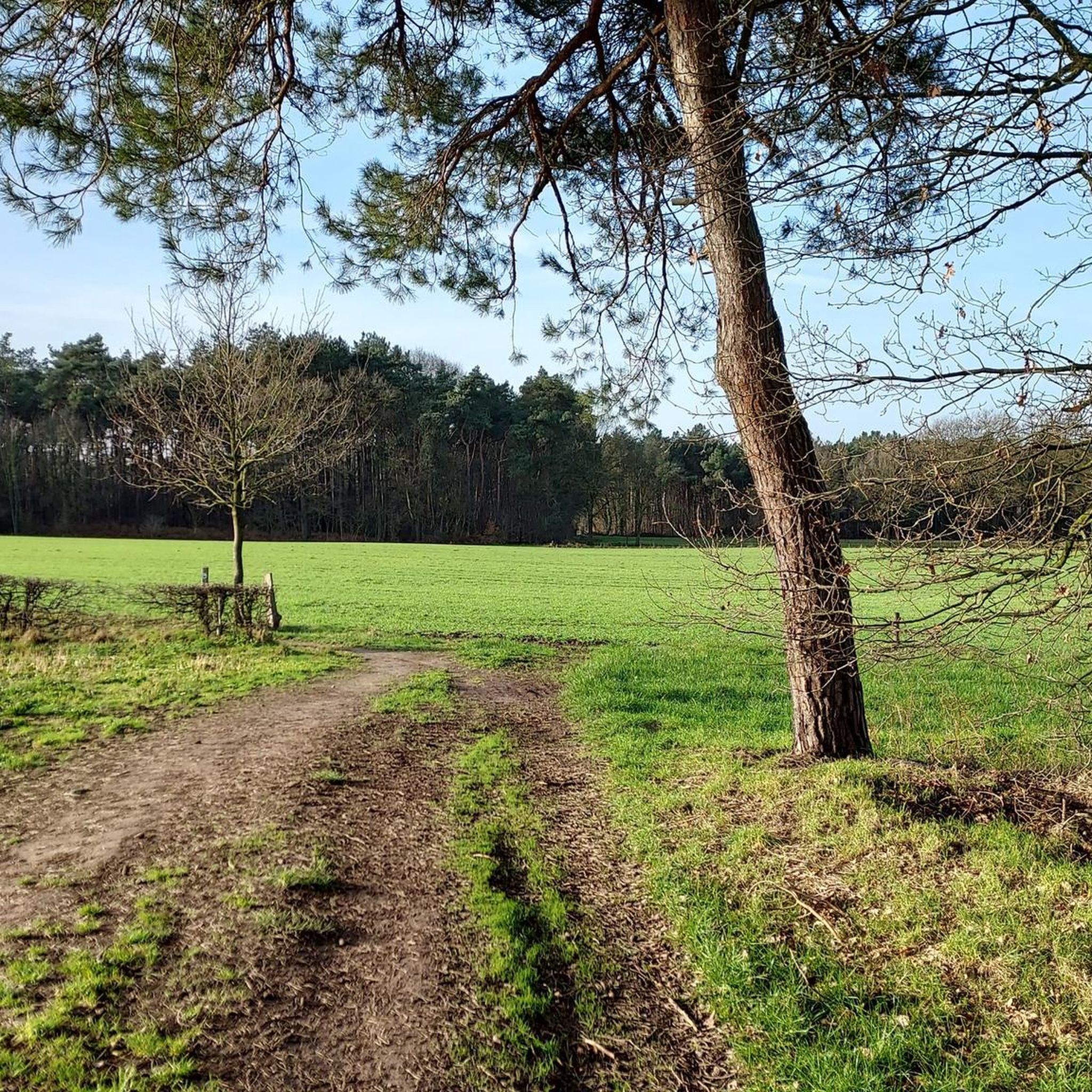

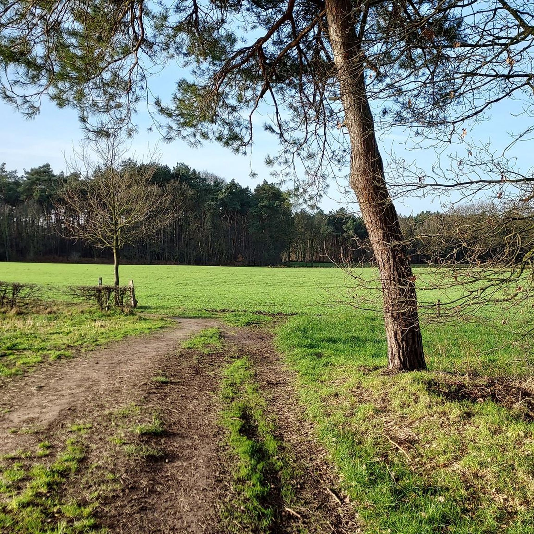
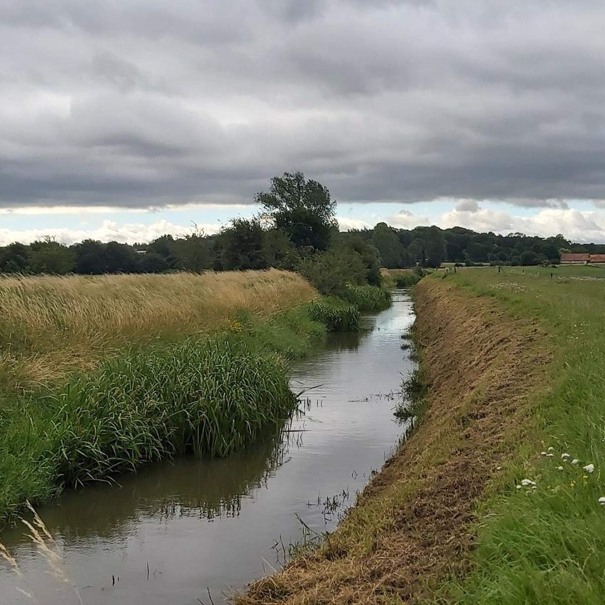
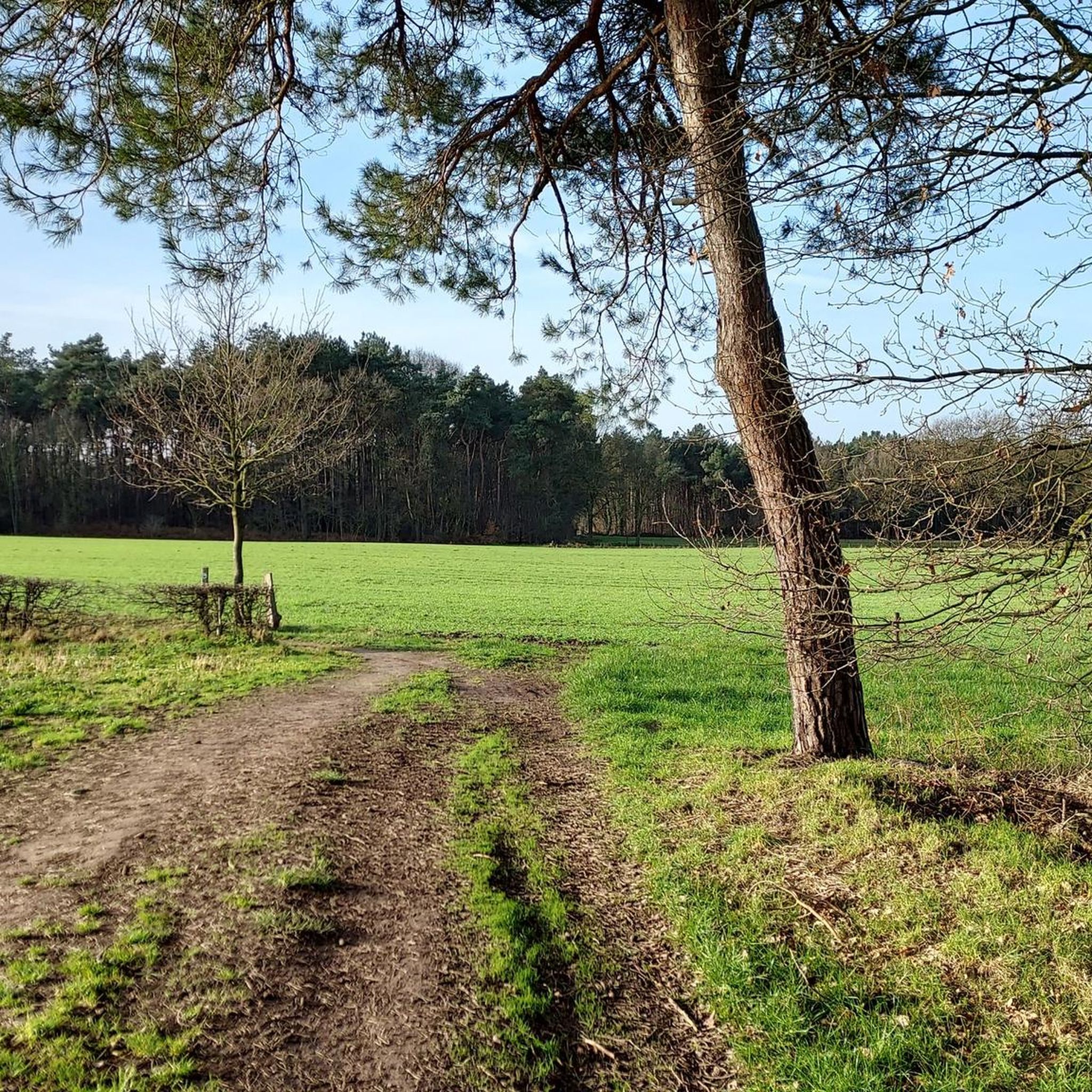
Tips from the Community

We were able to see the flamingo, admire the kingfisher and the grey heron in the distance.
0
0

A place where it is wonderful to linger. The sunset is a highlight in itself. Endless enjoyment.
1
0

Even by bike, you have magnificent views here...
1
0

't Vloot, on the north side of the Schulensmeer, is a multifunctional building where, in addition to the 't Vloot brasserie, the Schulensmeer reception and visitor centre is also located. A team of friendly volunteers and nature guides will gladly help you with all your questions about walks, maps, nature, possibilities, the area, .... They organize monthly guided walks, guides on request, nature events, nature camps, ....
3
0


So-called "Nieuwenhoven Castle," a castle with farm buildings. Since the fourth quarter of the 13th century, it served as a playground and summer residence for the abbots of Sint-Truiden; fortified in 1329 by Abbot Adam van Ardingen; completely rebuilt in 1340 by Abbot Amelius van Schoonvorst; enlarged and renovated from 1521 to 1525 by Abbot Willem van Brussel; the current farm was built by Abbot Hubert Germeys (1612-1638), the castle by Abbot Jozef van Herck (1751-1780); Nieuwenhoven became the abbots' permanent residence primarily during the 18th century; after the French invasion, the property was sold. During the second half of the 19th century, renovation works were carried out in the English neo-Gothic style: a carriage house with stables between the castle and the farm, and a castle wing that burned down in 1932. Inventory of Immovable Heritage 2024: Nieuwenhoven Castle and castle farm https://id.erfgoed.net/erfgoedobjecten/23016
3
0
Nieuwenhoven Castle is situated in a beautiful, fertile location amidst forests and farmland. The castle has a cycling café, and visitors can stroll along the antennae trail on the private grounds.
5
0
Frequently Asked Questions
What kind of terrain can I expect on road cycling routes around Halen?
Road cycling routes around Halen feature diverse landscapes. You'll find a mix of mostly paved surfaces, with routes traversing natural areas like Halens Nature Reserve and Lake Halen. Expect varied terrain with elevation changes, including gentle inclines and more challenging climbs, catering to different fitness levels.
Are there road cycling routes suitable for beginners in Halen?
Yes, Halen offers several road cycling routes suitable for beginners. There are 11 easy routes available, such as the Schulensmeer – Schulensmeer loop from Halen, which is 12.5 miles (20.1 km) with a moderate elevation gain of 34 meters, making it a good option for those new to road cycling.
What are some scenic highlights or landmarks I can see along the road cycling routes?
Many routes offer scenic views, particularly around Lake Halen and through natural reserves. You can also explore various natural monuments and lakes. Notable highlights include Schulensmeer, Black Brook, and the Galgenberg Forest. Some routes also pass by historical sites like the Bovy Estate – De Wijers.
Are there any circular road cycling routes in Halen?
Yes, many of the road cycling routes around Halen are designed as loops, allowing you to start and end in the same location. An example is the Schulensmeer – Schulensmeer loop from Halen, which offers scenic views around Lake Halen.
What do other road cyclists say about the routes in Halen?
The road cycling routes in Halen are highly rated by the komoot community, with an average score of 5.0 stars from over 4 reviews. More than 500 road cyclists have used komoot to explore Halen's varied terrain, often praising the diverse landscapes and well-maintained paths.
Can I find routes that are suitable for families with children?
While specific 'family-friendly' designations aren't always explicit for road cycling, routes with lower distances and minimal elevation gain are generally more suitable. The War Memorial Chapel Halen – Ostrich Farm loop from Halen is an easy 7.8 km route with very little elevation, which could be a good option for families.
What is the best time of year for road cycling in Halen?
The best time for road cycling in Halen, and the broader Hageland and Limburg regions, is typically during the spring and autumn months when the weather is milder. Summer can also be pleasant, but it's always advisable to check local weather forecasts for optimal conditions.
Are there options for parking near the road cycling routes in Halen?
While specific parking facilities for each route are not detailed, Halen is a municipality with various starting points for routes. Cyclists often find parking in town centers or designated areas near popular attractions like Lake Halen. It's recommended to check local parking regulations upon arrival.
How many road cycling routes are available around Halen?
There are over 40 road cycling routes available around Halen, offering a wide range of options for different skill levels and preferences. This includes 11 easy routes and 32 moderate routes.
Are there any longer, more challenging road cycling routes for experienced riders?
Yes, for experienced riders seeking a challenge, Halen offers longer routes with more significant elevation gains. The Kasteellaan – Castle of Duras loop from Halen is a moderate 38.3 miles (61.6 km) trail with over 690 feet (211 meters) of elevation gain, providing a good workout.
Can I access road cycling routes in Halen using public transport with my bike?
Halen has public transport connections, and bringing bikes on trains or buses can be possible depending on the operator's policies and available space. It's advisable to check with local public transport providers in Belgium (e.g., De Lijn or NMBS/SNCB) for their specific rules regarding bicycle transport before planning your trip.
Most popular attractions around Halen

Get inspired with the komoot mobile app


Explore more
Browse the best Road cycling routes in other regions.
