The best walks and hikes around Bad Vigaun
4.4
(824)
5,342
hikers
75
hikes
Hiking around Bad Vigaun offers diverse landscapes, from gentle valley paths to challenging alpine ascents. The region is characterized by the wild river landscape of the Tauglgries, featuring clear waters and narrow gorges. Surrounded by mountains like the Schlenken, Tennengebirge, and Osterhorn group, the area provides varied terrain for outdoor activities. Panoramic views of the Dachstein massif and Salzkammergut mountains are accessible from various viewpoints.
Best hiking trails around Bad Vigaun
- The most popular hiking route is Hunter's Nose Ridge…
Last updated: October 11, 2026
4.7
(144)
936
hikers
9.61km
03:53
590m
590m
Hard hike. Good fitness required. Sure-footedness, sturdy shoes and alpine experience required.
4.7
(120)
508
hikers
Moderate hike. Good fitness required. Easily-accessible paths. Suitable for all skill levels.

4.6
(72)
271
hikers
Easy hike. Great for any fitness level. Easily-accessible paths. Suitable for all skill levels.
4.9
(47)
282
hikers
8.80km
04:32
750m
750m
Hard hike. Good fitness required. Sure-footedness, sturdy shoes and alpine experience required.
4.7
(23)
164
hikers
6.99km
03:22
600m
600m
Moderate hike. Good fitness required. Mostly accessible paths. Sure-footedness required.
Get access to more routes and recommendations from other explorers.
Already have an account?
Our route recommendations are based on thousands of hikes, rides, and runs completed by other people on komoot.
Start today with a free account
Your next adventure awaits.
Tips from the Community

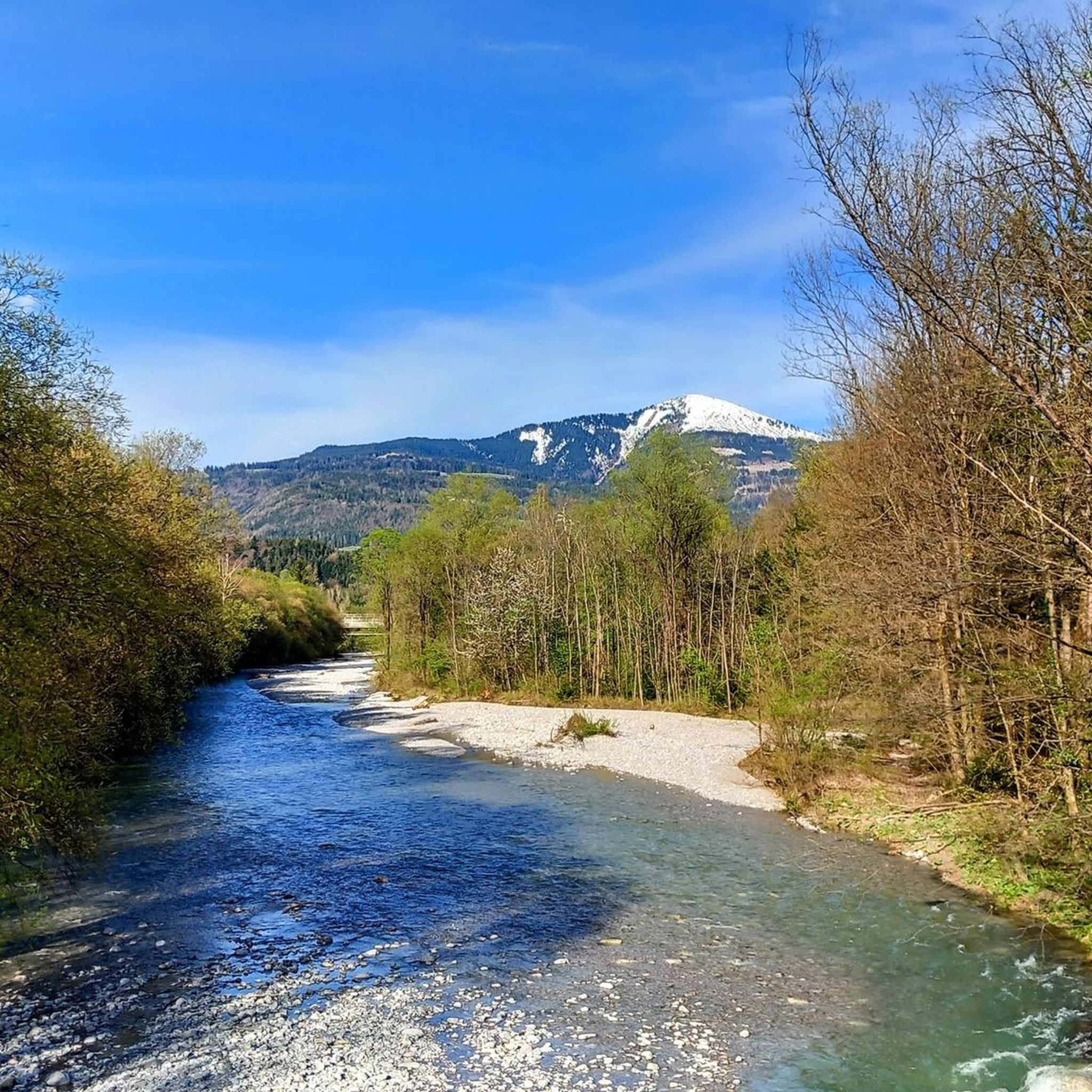
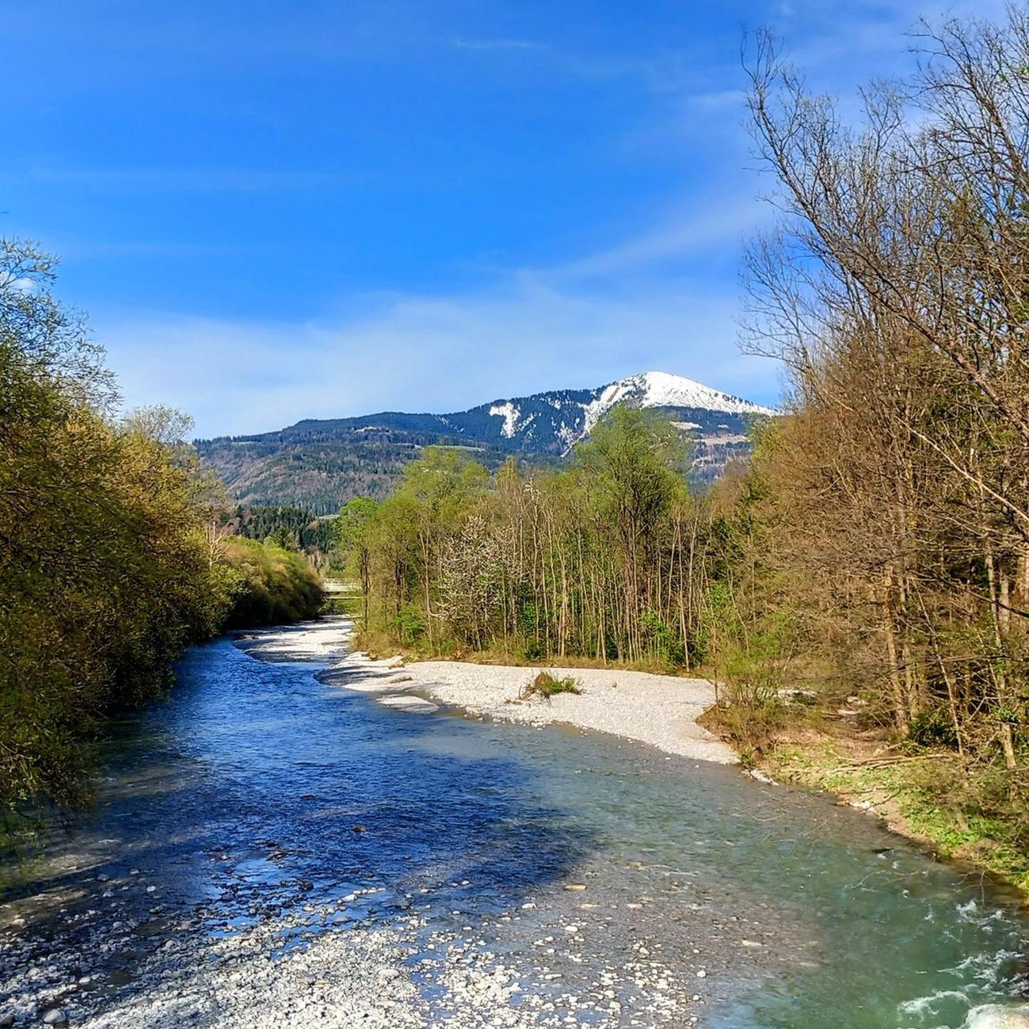
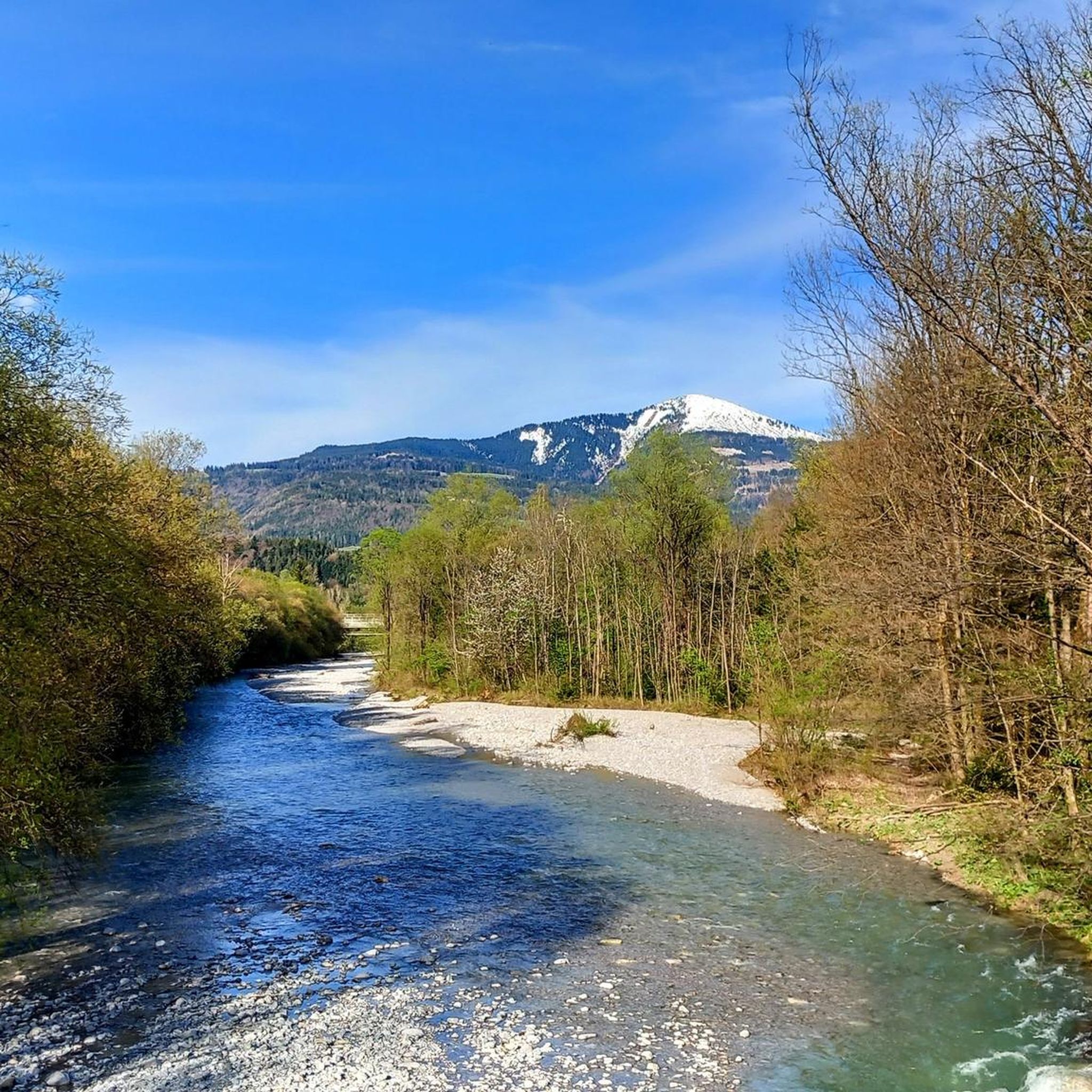
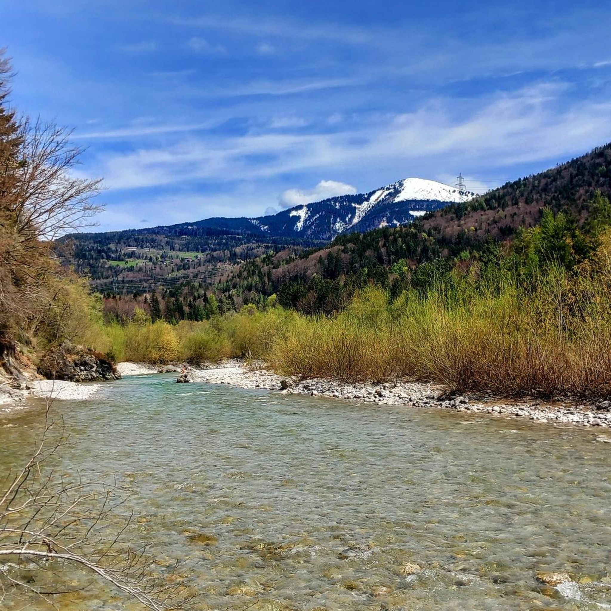
A beautiful driveway and sensational panoramic view from slightly above.
0
0

A little further on is the entrance to this water paradise. So pack your swimsuit and take your little sister. Of course, only in the right weather.
1
0

The detour via Bad Vigaun to the bridge and the unspoilt riverbed of the Taugl is really worthwhile
1
0

Beautiful spot on the river where you can lie on the stones of the riverbed and cool off in the shallow water. There are small pools of water all the time and there is also a small barbecue area nearby.
1
0

No access: Particularly protected cave - access is only permitted with official permission or as part of a guided cave hike.
0
0

Roman Bridge, 5424 Bad Vigaun
2
0

Frequently Asked Questions
What types of hiking trails can I expect in Bad Vigaun?
Bad Vigaun offers a diverse range of hiking trails, from gentle valley paths suitable for leisurely strolls to challenging alpine ascents. The region is characterized by the unique wild river landscape of the Tauglgries, featuring crystal-clear waters and narrow gorges, alongside majestic mountains like the Schlenken, Tennengebirge, and Osterhorn group. You'll find options for all skill levels, with over 70 routes available, including 28 easy, 37 moderate, and 10 difficult trails.
Are there any family-friendly hiking options in Bad Vigaun?
Yes, Bad Vigaun has several family-friendly trails. The themed trail “Lebensader Taugl” (Lifeline Taugl) along the Tauglbach is an easy option that introduces hikers to the local flora and fauna, with opportunities for swimming near the historic Roman Bridge. This trail also features a stone labyrinth and an oversized birdcage, making it engaging for children. Another easy route is the Tauglgries Nature Reserve – Tauglbach Rock Formations loop from Bad Vigaun.
What natural landmarks or viewpoints can I discover while hiking?
The region is rich in natural landmarks. You can explore the dramatic wild river landscape of the Tauglgries, which features narrow gorges and tumbling waterfalls. Panoramic views of the Dachstein massif, the Tauern, and the Salzkammergut mountains are accessible from various viewpoints, especially from higher elevations like the Schlenken Summit. Other notable natural attractions include the Almbach Gorge and the impressive Golling Waterfall.
Are there any circular hiking routes in Bad Vigaun?
Yes, Bad Vigaun offers several circular hiking routes. For a moderate experience, consider the Tauglgries Nature Reserve – Roman or Devil’s Bridge loop from Bad Vigaun, which explores the unique river landscape. For more challenging options with rewarding views, the Hunter's Nose Ridge – Schlenken Summit loop from Rengerberg or the Schlenken Summit – Schlenkenalms loop from Wurzer are excellent choices.
What is the best time of year to go hiking in Bad Vigaun?
The best time for hiking in Bad Vigaun is generally from spring to autumn (May to October), when the weather is mild and the trails are clear. Summer offers lush greenery and warmer temperatures, ideal for exploring the Tauglgries and its swimming spots. Autumn provides stunning foliage and crisp air, perfect for mountain ascents. While some trails are suitable for winter, specific routes like the Schlenken are also popular for ski touring, so conditions vary seasonally.
Are there challenging hikes for experienced hikers?
Absolutely. For experienced hikers seeking a challenge, Bad Vigaun offers several demanding routes with significant vertical gain. The Schmittenstein Summit – Schlenken Summit loop from Wurzer is a difficult, longer hike providing impressive views. The local mountain, Schlenken, has numerous routes leading to its summit, such as the Hunter's Nose Ridge – Schlenken Summit loop from Rengerberg, which offers rewarding vistas.
What do other hikers say about the trails in Bad Vigaun?
The hiking trails in Bad Vigaun are highly regarded by the komoot community, with an average rating of 4.4 stars from over 600 reviews. More than 4000 hikers have used komoot to explore the varied terrain, often praising the unique river landscapes, the stunning mountain views, and the well-maintained paths that cater to different difficulty levels.
Are there any waterfalls to see on the hiking trails?
Yes, the region is known for its beautiful water features. The Tauglgries river landscape itself features tumbling waterfalls carved by the Taugl river. Additionally, you can find impressive waterfalls nearby, such as the Sulzer Waterfall in the Almbach Gorge and the magnificent Golling Waterfall, which is also accompanied by a historic watermill.
Is it possible to access hiking trails in Bad Vigaun using public transport?
Bad Vigaun is generally well-connected, and some trailheads may be accessible via local bus services. However, for many mountain routes, particularly those starting from specific parking areas like Wurzer or Rengerberg, personal transport might be more convenient. It's advisable to check local bus schedules and route starting points in advance to plan your journey effectively.
Where can I find parking for the hiking trails?
Parking is available at various starting points for the trails. For routes leading up to the Schlenken mountain, popular parking areas include Wurzer and Rengerberg. For trails exploring the Tauglgries, parking can often be found near Bad Vigaun itself or at designated spots along the river. Always look for marked parking areas to ensure proper access and avoid obstructions.
What kind of unique natural features define the Bad Vigaun hiking experience?
The hiking experience in Bad Vigaun is uniquely defined by the dramatic wild river landscape of the Tauglgries, a nature and European nature reserve. Here, the Taugl river has carved narrow gorges and created crystal-clear waters over millennia, supporting rare plant and animal species. This contrasts beautifully with the majestic mountains like the Schlenken, offering a blend of riverine and alpine environments that is truly distinctive.
Most popular routes around Bad Vigaun
Most popular attractions around Bad Vigaun

Get inspired with the komoot mobile app


Explore more
Browse the best Hikes in other regions.
