The best walks and hikes around Maldegem
4.4
(1302)
5,386
hikers
157
hikes
Hiking around Maldegem offers access to a landscape characterized by extensive forests and nature reserves, providing a tranquil setting for outdoor activities. The region features generally flat terrain with minimal elevation changes, making it accessible for various hiking abilities. Trails often wind through wooded areas and open fields, showcasing the local flora and fauna. These natural spaces provide a network of paths for exploration.
Best hiking trails around Maldegem
- The most popular hiking route is Maldegemveld Nature Reserve – Maldegemveld…
Last updated: October 18, 2026
4.6
(169)
931
hikers
22.6km
05:45
60m
60m
Hard hike. Very good fitness required. Easily-accessible paths. Suitable for all skill levels.
4.6
(224)
624
hikers
Moderate hike. Good fitness required. Easily-accessible paths. Suitable for all skill levels.

4.6
(164)
449
hikers
14.2km
03:37
40m
40m
Moderate hike. Good fitness required. Easily-accessible paths. Suitable for all skill levels.
4.6
(106)
313
hikers
Moderate hike. Good fitness required. Easily-accessible paths. Suitable for all skill levels.
4.5
(42)
248
hikers
8.00km
02:02
20m
20m
Moderate hike. Good fitness required. Easily-accessible paths. Suitable for all skill levels.
Get access to more routes and recommendations from other explorers.
Already have an account?
Our route recommendations are based on thousands of hikes, rides, and runs completed by other people on komoot.
Start today with a free account
Your next adventure awaits.
Other adventures around Maldegem

Tips from the Community

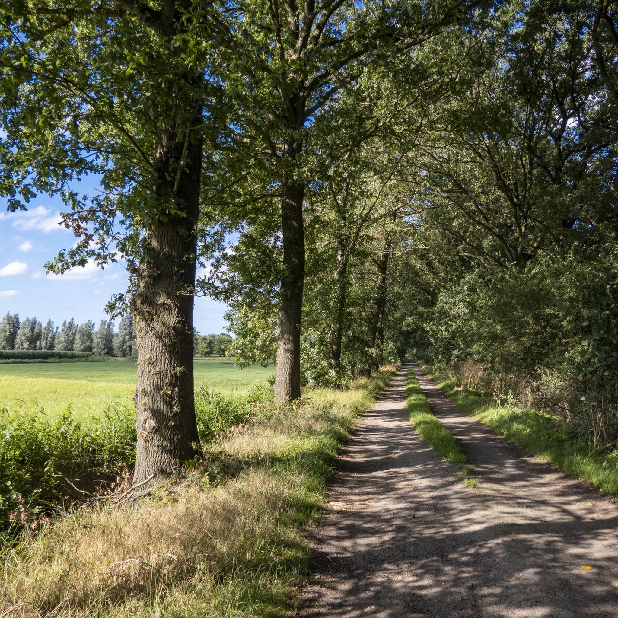
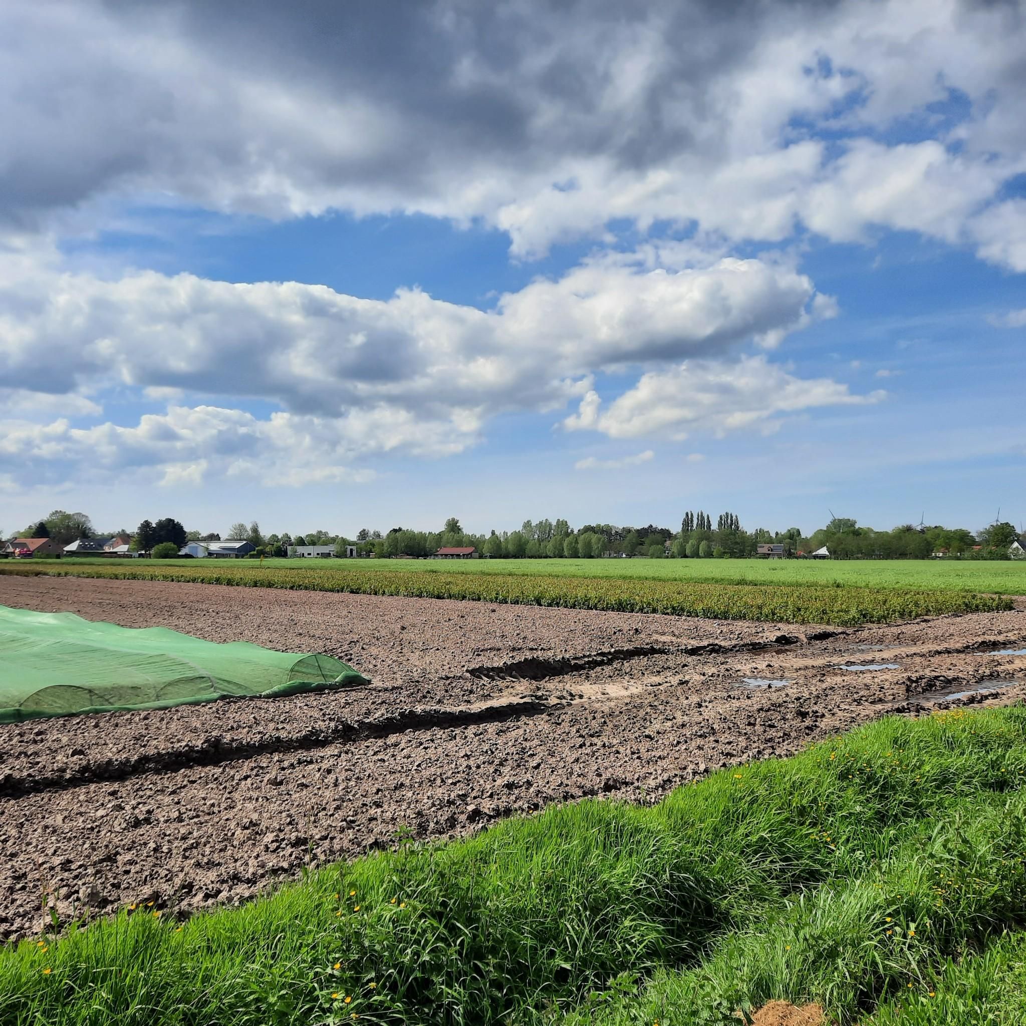
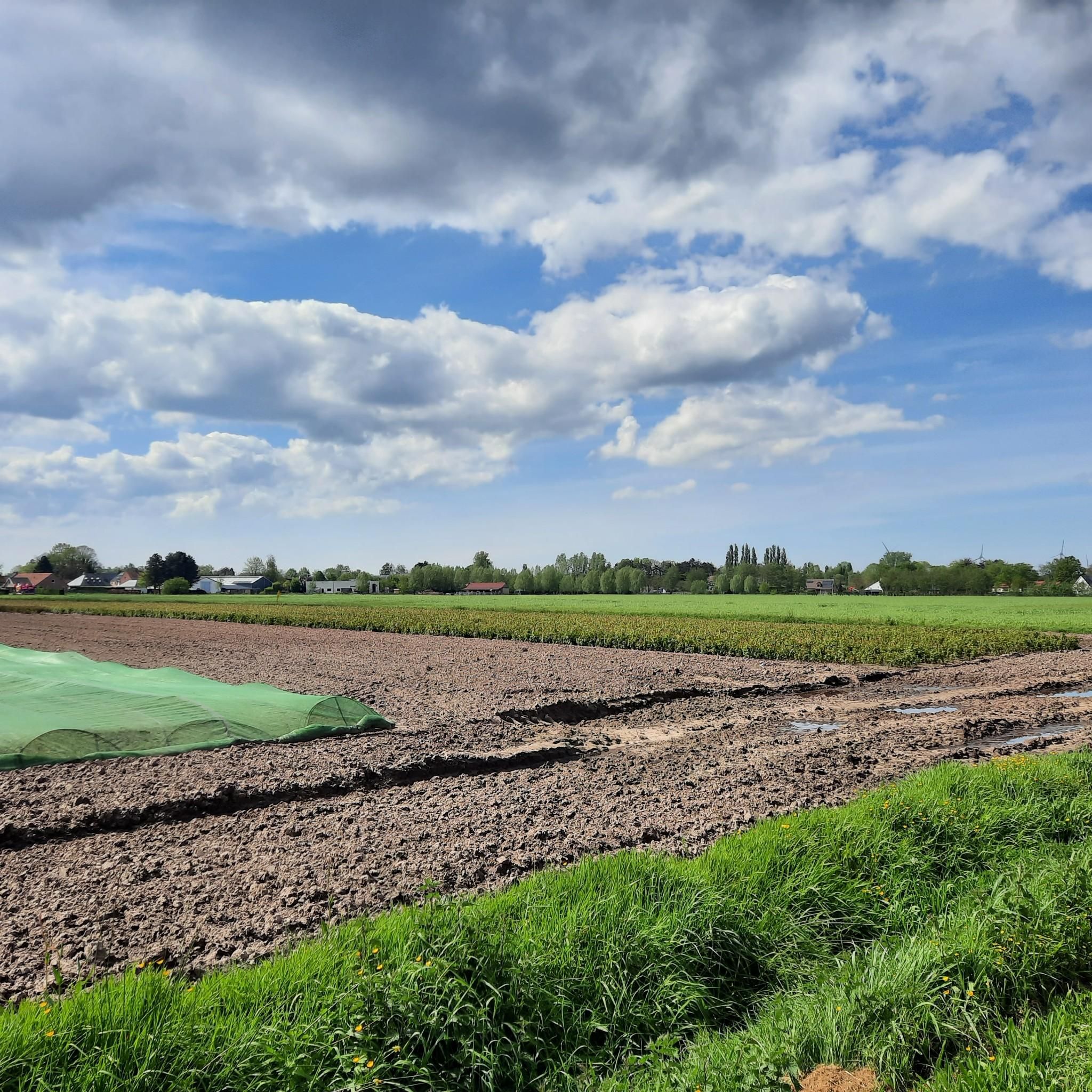
Beautiful hike through woods and open plains with nice views.
0
0

Beautiful and good hiking trails, calm and quiet, best for hiking in a dry period
0
0

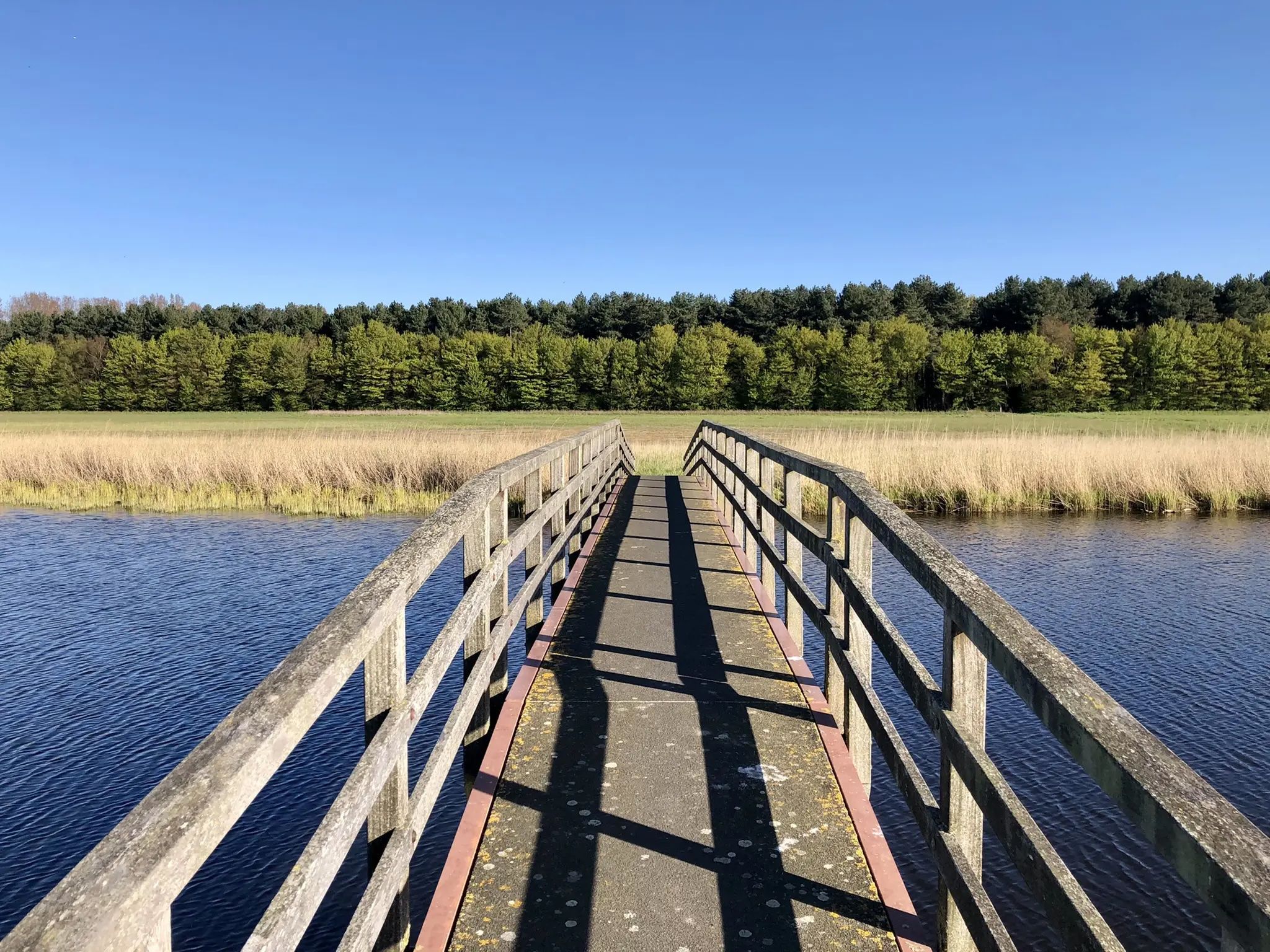
Beautiful boardwalk through nature reserve
0
1
Summer, winter, autumn and spring, every season offers something beautiful here
0
0

Free parking at the Drongengoedbos. Perfect starting point to start bike tours or walks. Did you know: 'Krakelen' is synonymous with arguing - quarreling.
8
0

Quiet picnic spot with beautiful views on the edge of Drongengoedbos.
1
0

Please note: often full in good weather
2
1
The Ursel airfield is categorized as a military domain and serves, among other things, as a reserve airfield for the Belgian air component. It was built between 1952 and 1955 at the request of SHAPE (Supreme Headquarters Allied Powers Europe, the central command center of NATO). The reserve airfields of Bertrix-Jehonville, Saint-Hubert, Weelde, Zoersel-Oostmalle and Zutendaal were also set up around the same time as a result of this NATO regulation. Part of the crushed concrete from the B-67 Ursel war airfield, located south of the Urselseweg, was used to build the runway. As a result of the fall of the Iron Curtain and the reduced threat of the Warsaw Pact, Ursel airbase was decommissioned by NATO in 1993. Source: https://www.vliegclubursel.be/nld/vliegveld
1
0
Frequently Asked Questions
How many hiking trails are available around Maldegem?
Maldegem offers a wide selection of hiking opportunities, with over 150 trails available. These range from easy strolls to more challenging long-distance routes, ensuring options for various fitness levels.
What is the general terrain like for hiking in Maldegem?
The terrain around Maldegem is generally flat, characterized by minimal elevation changes. Trails often wind through extensive forests and tranquil nature reserves, providing a peaceful setting for outdoor activities.
Are there easy hiking trails suitable for beginners or families in Maldegem?
Yes, Maldegem is very accessible for beginners and families. There are over 90 easy trails, many of which are relatively short and flat. For a moderate option that's not too long, consider the Wooden Boardwalk – Maldegemveld Nature Reserve loop from Maldegemveld, which is about 8.6 km (5.3 miles) and takes around 2 hours 10 minutes.
Are there any challenging long-distance hikes in Maldegem?
While the region is generally flat, there are a few longer, more challenging routes. One such option is the Maldegemveld Nature Reserve – Maldegemveld Forest loop from Torrebos, a difficult 23.5 km (14.6 miles) trail that typically takes nearly 6 hours to complete.
What do other hikers say about the trails in Maldegem?
The trails in Maldegem are highly regarded by the komoot community, boasting an average rating of 4.5 stars from over 1,100 reviews. Hikers frequently praise the quiet woodlands, well-maintained paths, and the serene atmosphere of the nature reserves.
Can I bring my dog on the hiking trails in Maldegem?
Many trails in Maldegem are dog-friendly, especially those through forests and open fields. However, it's always advisable to check local signage for specific restrictions, particularly in nature reserves where dogs might need to be on a leash or are restricted in certain areas to protect wildlife.
Are there circular hiking routes in Maldegem?
Yes, many of the hiking routes in Maldegem are designed as loops, allowing you to start and end at the same point. An example is the Maldegemveld Forest – Maldegemveld Nature Reserve loop from Torrebos, a moderate 15.3 km (9.5 miles) path that offers a scenic journey through wooded areas.
What are some scenic viewpoints or natural attractions to see while hiking?
While hiking around Maldegem, you can explore several natural attractions. The nearby Zwin Nature Reserve and Boerekreek offer beautiful landscapes and opportunities for birdwatching. You might also encounter historical sites like the Outer Ramparts of Sluis.
Where can I find parking for hiking trails in Maldegem?
Parking is generally available near popular trailheads and nature reserves in Maldegem. Many routes, such as those starting from Torrebos or Ursel Air Base, have designated parking areas. It's recommended to check the specific tour details on komoot for parking information related to your chosen route.
Is Maldegem accessible by public transport for hikers?
Maldegem is served by public transport, primarily buses, which connect to nearby towns and train stations. While some trailheads might be directly accessible, others may require a short walk from a bus stop. Planning your route in advance and checking local bus schedules is advisable.
When is the best time of year to go hiking in Maldegem?
The best time for hiking in Maldegem is typically during spring (April-May) and autumn (September-October) when the weather is mild and the natural scenery is vibrant with blooming flowers or colorful foliage. Summer also offers pleasant conditions, though trails can be busier. Winter hiking is possible, but some paths might be muddy.
Are there any trails with cafes or places to stop for refreshments?
While many trails wind through natural areas, some routes pass through or near small villages and towns where you can find cafes or local eateries. It's a good idea to carry water and snacks, especially on longer routes, and check the map for refreshment stops along your chosen path.
What kind of wildlife or nature can I expect to see?
Maldegem's extensive forests and nature reserves are home to diverse flora and fauna. You can expect to see various bird species, small mammals, and a rich variety of plant life, especially in areas like the Maldegemveld Nature Reserve. The region's natural spaces provide excellent opportunities for nature observation.
Most popular attractions around Maldegem

Get inspired with the komoot mobile app


Explore more
Browse the best Hikes in other regions.
