The best road cycling routes around Brasschaat
4.6
(56)
909
riders
29
rides
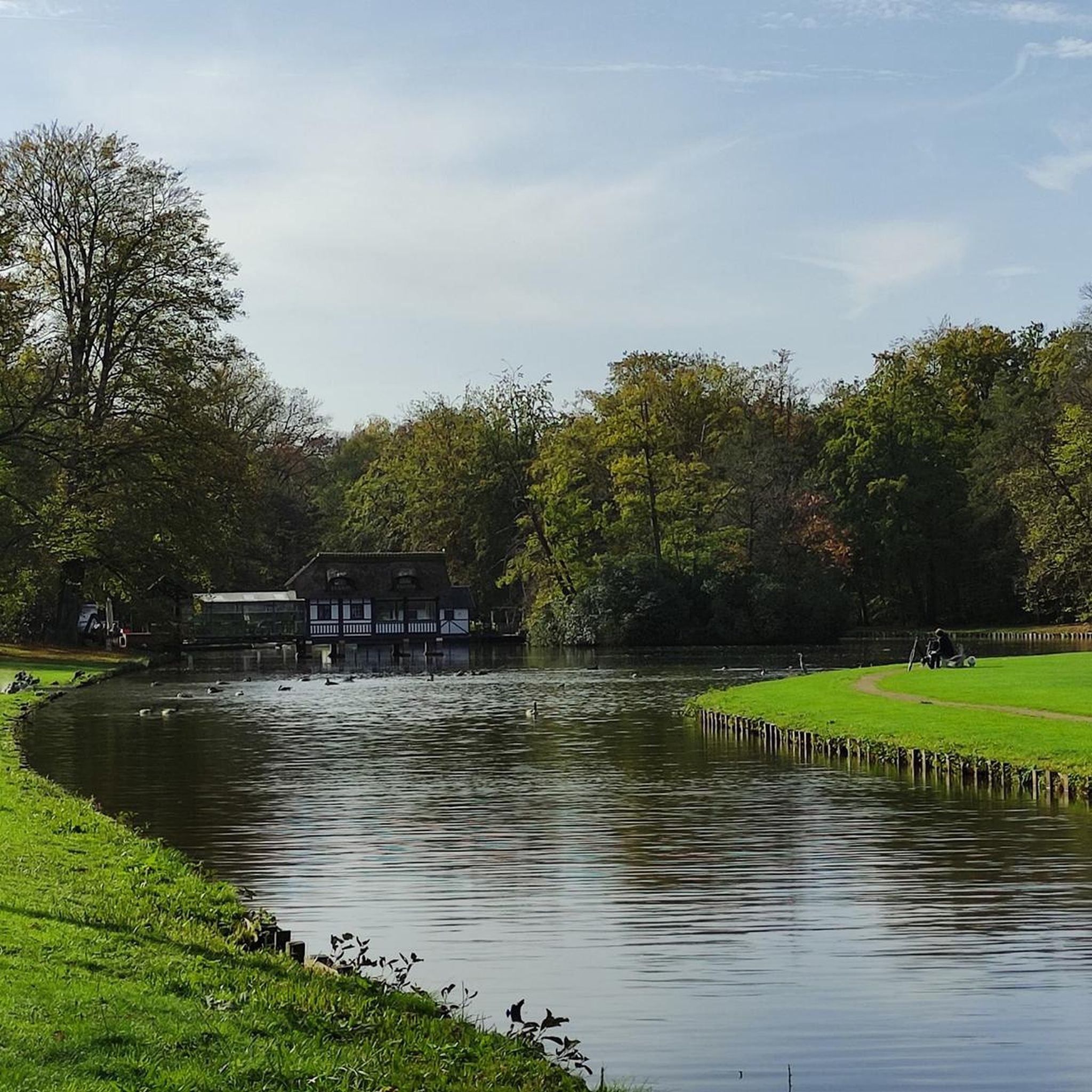
Road cycling around Brasschaat is characterized by its extensive green spaces, including municipal parks, ancient forests, and heathlands. The region features a generally flat terrain, making it suitable for various road cycling routes. Cyclists can explore well-maintained paths alongside canals and through tranquil natural areas. This environment provides a serene backdrop for outdoor pursuits on two wheels.
Best road cycling routes around Brasschaat
- The most popular road cycling route is Scenic Bicycle Path – Canal Path with Farmland Views loop…
Last updated: October 13, 2026
4.2
(21)
213
riders
Moderate road ride. Great for any fitness level. Some segments of this route may be unpaved and difficult to ride.
5.0
(3)
105
riders
Moderate road ride. Good fitness required. Some segments of this route may be unpaved and difficult to ride.

4.7
(3)
62
riders
Moderate road ride. Good fitness required. Mostly well-paved surfaces and easy to ride.
5.0
(1)
187
riders
Moderate road ride. Good fitness required. Some segments of this route may be unpaved and difficult to ride.
4.0
(2)
40
riders
Moderate road ride. Good fitness required. Some segments of this route may be unpaved and difficult to ride.
Get access to more routes and recommendations from other explorers.
Already have an account?
Our route recommendations are based on thousands of hikes, rides, and runs completed by other people on komoot.
Start today with a free account
Your next adventure awaits.

Tips from the Community

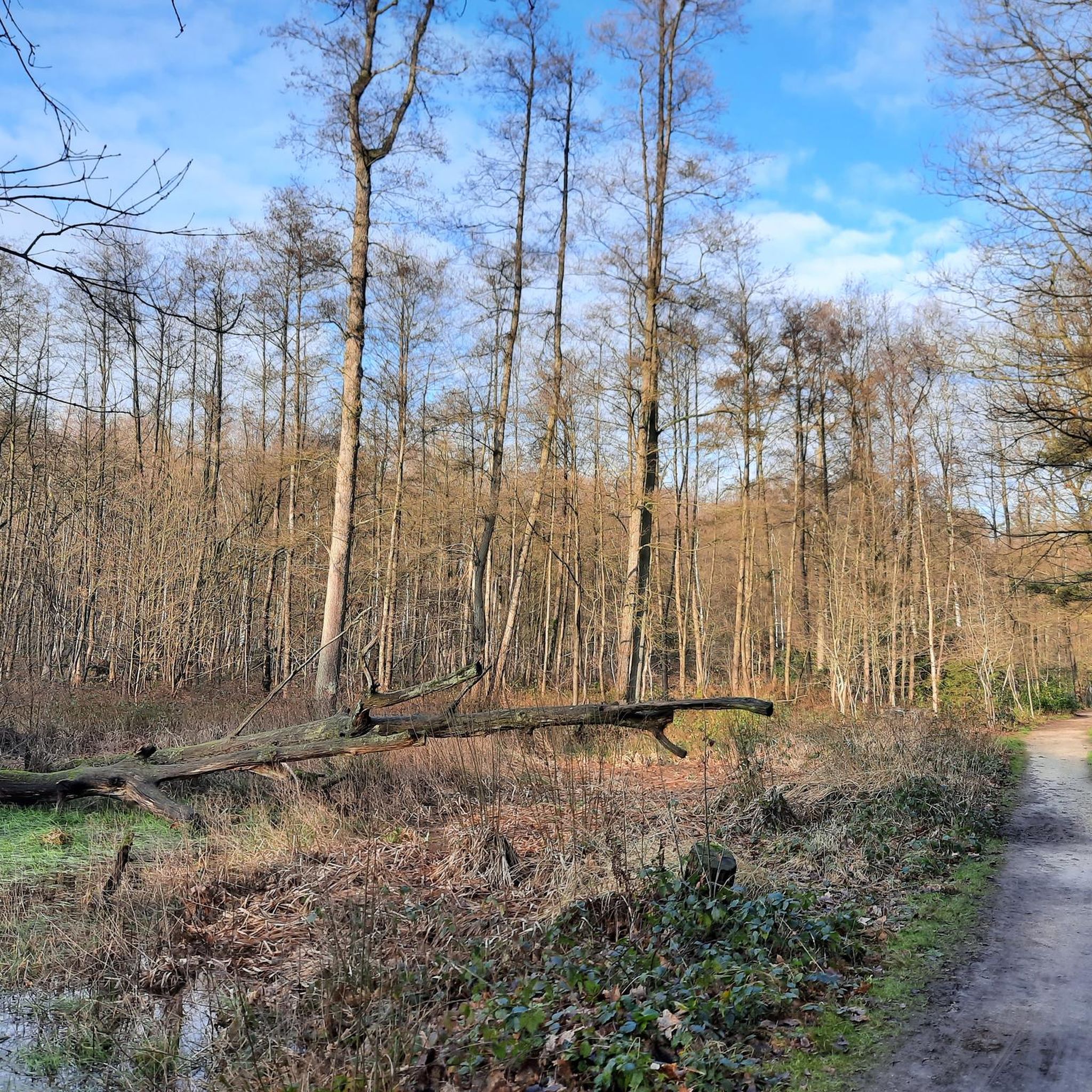
Very beautiful heath landscape
1
0

History The chapel was erected in 1626. At that time, the region was plagued by a pest epidemic. Legend has it that about 60 inhabitants of Oostmalle fled the village with the disease to the heath at Zalfen. Adriaan Mattheeusen, an inhabitant of Zalfen, who lost some of his children to the epidemic, was obliged to bury them in the heath and erected a chapel in their memory. Soon, the chapel served for funeral services, and the dead were buried in the adjacent cemetery. The chapel soon became an attraction for pilgrims. For this reason, it was enlarged in 1726 to its current appearance (see upper part in the side gable dated by means of sintered stone). The chapel is depicted on Ferraris' cabinet map (1770-1778) on a triangular plot of heath. A loop of tall trees surrounds the chapel. On Vandermaelen's map (1846-1854), the chapel is located south of the Salphen road, amidst a triangular forest plot. Description The Sint-Antonius chapel of Salphen is located south of the Salphen road, an old avenue of predominantly tall English oaks (Quercus robur), and is surrounded by tall trees (mainly Scots pine, Pinus sylvestris). It is an oriented brick chapel with a three-sided closed west facade and a lower rectangular choir under slate gable roofs (ridge parallel to the street) with a bell tower. On the east side, there are two tuit-gables on shoulder pieces with crenellations. On the north side, there are rectangular windows and a basket-arch door and a basket-arch door. The plastered and painted interior has a wooden frame with a tie beam. The furniture includes an altar from the 19th century and a painted wooden statue of Saint Anthony Abbot (late 15th or early 16th century).
0
0

Hens Castle is a historic country house in the Belgian municipality of Wuustwezel that currently serves as the town hall of Wuustwezel. Construction period: The construction of the castle took place between 1910 and 1912. Client: It was built on commission from the widow Hens, who desired a stately residence that reflected her prosperity and standing. Architectural style: The building was designed by architect Jaak Alfons Van der Gucht in a Neo-Flemish Renaissance style, recognizable by the use of brick and sandstone. Repurposing: Since 1926, the castle has been used as a town hall, after the previous town hall had become too small.
3
0

The St. Anthony's Chapel is a chapel in the hamlet of Zalfen, located near Salphen, which is part of the Antwerp municipality of Malle. Nearby Oostmalle was hit by a plague epidemic around 1625. Around 60 sick people reportedly fled to the heath. A certain Adriaan Mattheeusen, who lost three children to the disease, had to bury them on the heath and built a chapel for this purpose. This chapel was soon also used for funeral services, and the deceased were buried in a nearby cemetery. The chapel attracted pilgrims and was therefore expanded in 1726. https://nl.wikipedia.org/wiki/Sint-Antoniuskapel_(Zalfen)
0
0

Pleasant cycling on that cycle path.
1
0
Pleasant cycling on very good cycle paths.
0
0
Pleasant cycling on very good cycle paths.
0
0
The F15 cycle highway (Antwerp-Turnhout) follows the towpath along the Dessel-Schoten canal and takes you past war bunkers at regular intervals.
2
0
Frequently Asked Questions
How many road cycling routes are available around Brasschaat?
Brasschaat offers a diverse selection of over 25 road cycling routes. These routes cater to various preferences, ranging from easy rides to more moderate challenges, ensuring there's something for every cyclist.
What is the general terrain like for road cycling in Brasschaat?
The terrain around Brasschaat is generally flat, making it ideal for road cycling. Routes often traverse extensive green spaces, including municipal parks, ancient forests, and heathlands, with well-maintained paths alongside canals and through tranquil natural areas.
Are there easy road cycling routes suitable for beginners in Brasschaat?
Yes, Brasschaat has several easy road cycling routes perfect for beginners or those seeking a relaxed ride. For example, the Path Along the Albert Canal loop from Brasschaat is an easy 22.5-mile (36.2 km) trail that offers pleasant canal-side scenery.
Can I find longer road cycling routes in Brasschaat?
Absolutely. For those looking for longer distances, routes like the St. Anthony's Chapel, Salphen – Dessel-Turnhout-Schoten Canal loop from Brasschaat cover about 33.9 miles (54.5 km). Another option is the De Klot Observation Tower – Kalmthout Heath Cross-Border Park loop from Maria-ter-Heide, which extends to 35.6 miles (57.3 km).
What natural features or landmarks can I see while road cycling in Brasschaat?
Road cycling routes in Brasschaat often pass through beautiful natural areas and past historical sites. You can explore the ancient trees of Peerdsbos Forest, the expansive Kalmthoutse Heath Nature Reserve, or cycle alongside the Antitankgracht. The Fort of Brasschaat is another notable landmark you might encounter.
Are there any scenic loops for road cycling in Brasschaat?
Yes, Brasschaat is known for its scenic loop routes. The Scenic Bicycle Path – Canal Path with Farmland Views loop from Brasschaat is a popular choice, offering pleasant views over 25.8 miles (41.6 km). Many routes are designed as loops, allowing you to start and finish in the same location.
What do other road cyclists say about the routes in Brasschaat?
The road cycling routes in Brasschaat are highly rated by the komoot community, with an average score of 4.7 stars from over 40 reviews. Cyclists often praise the tranquil and green environment, the well-maintained paths, and the diverse scenery that includes parks, forests, and canals.
Are the road cycling routes in Brasschaat suitable for families?
Many routes in Brasschaat are suitable for families, especially the easier, flatter sections that traverse parks and quiet lanes. The region's extensive green spaces, like Brasschaat Municipal Park, offer a safe and pleasant environment for family rides, often with minimal traffic.
Can I find cafes or pubs along the road cycling routes in Brasschaat?
Brasschaat and its surrounding areas are well-equipped with amenities. Many routes pass through or near towns and villages where you can find cafes, pubs, and restaurants to refuel. The local community embraces cycling, so you'll often find establishments catering to cyclists.
What is the best time of year for road cycling in Brasschaat?
The spring and summer months (April to September) generally offer the most pleasant conditions for road cycling in Brasschaat, with milder temperatures and longer daylight hours. The autumn can also be beautiful with changing foliage, though cooler temperatures and a higher chance of rain are possible.
Are there any road cycling routes that explore heathland areas?
Yes, Brasschaat is close to beautiful heathland areas. The De Klot Observation Tower – Kalmthout Heath Cross-Border Park loop from Maria-ter-Heide is an excellent route that takes you through the scenic Kalmthoutse Heath, known for its largely car-free asphalt cycle paths.
Are there any specific routes that follow canals?
Canal paths are a prominent feature of road cycling in Brasschaat. Routes like the Path Along the Albert Canal loop from Brasschaat and the St. Anthony's Chapel, Salphen – Dessel-Turnhout-Schoten Canal loop from Brasschaat offer extensive stretches alongside canals, providing flat and picturesque riding experiences.
Most popular routes around Brasschaat
Most popular attractions around Brasschaat

Get inspired with the komoot mobile app


Explore more
Browse the best Road cycling routes in other regions.
