The best running trails around Wuustwezel
3.9
(26)
1,693
runners
130
runs
Jogging routes around Wuustwezel traverse a landscape characterized by expansive forests, heathlands, and agricultural fields in the Flemish region of Belgium. The area's name, meaning "wooded stream," reflects its historical abundance of forests and small waterways, providing a naturally conducive environment for running. This diverse terrain offers a serene escape for outdoor enthusiasts seeking varied running experiences.
Best jogging routes around Wuustwezel
- The most popular jogging route is Running loop from Gooreind, a 4.4 miles (7.1 km) trail that…
Last updated: October 7, 2026
109
runners
7.12km
00:44
10m
0m
Moderate run. Good fitness required. Mostly accessible paths. Some sure footedness required.
94
runners
6.04km
00:37
0m
0m
Moderate run. Good fitness required. Mostly paved surfaces. Suitable for all skill levels.

42
runners
9.28km
00:58
10m
10m
Moderate run. Good fitness required. Mostly paved surfaces. Suitable for all skill levels.
4.0
(2)
44
runners
9.20km
00:57
10m
10m
Moderate run. Good fitness required. Mostly paved surfaces. Suitable for all skill levels.
33
runners
Moderate run. Good fitness required. Mostly paved surfaces. Suitable for all skill levels.
Get access to more routes and recommendations from other explorers.
Already have an account?
Our route recommendations are based on thousands of hikes, rides, and runs completed by other people on komoot.
Start today with a free account
Your next adventure awaits.


Other adventures around Wuustwezel

Tips from the Community

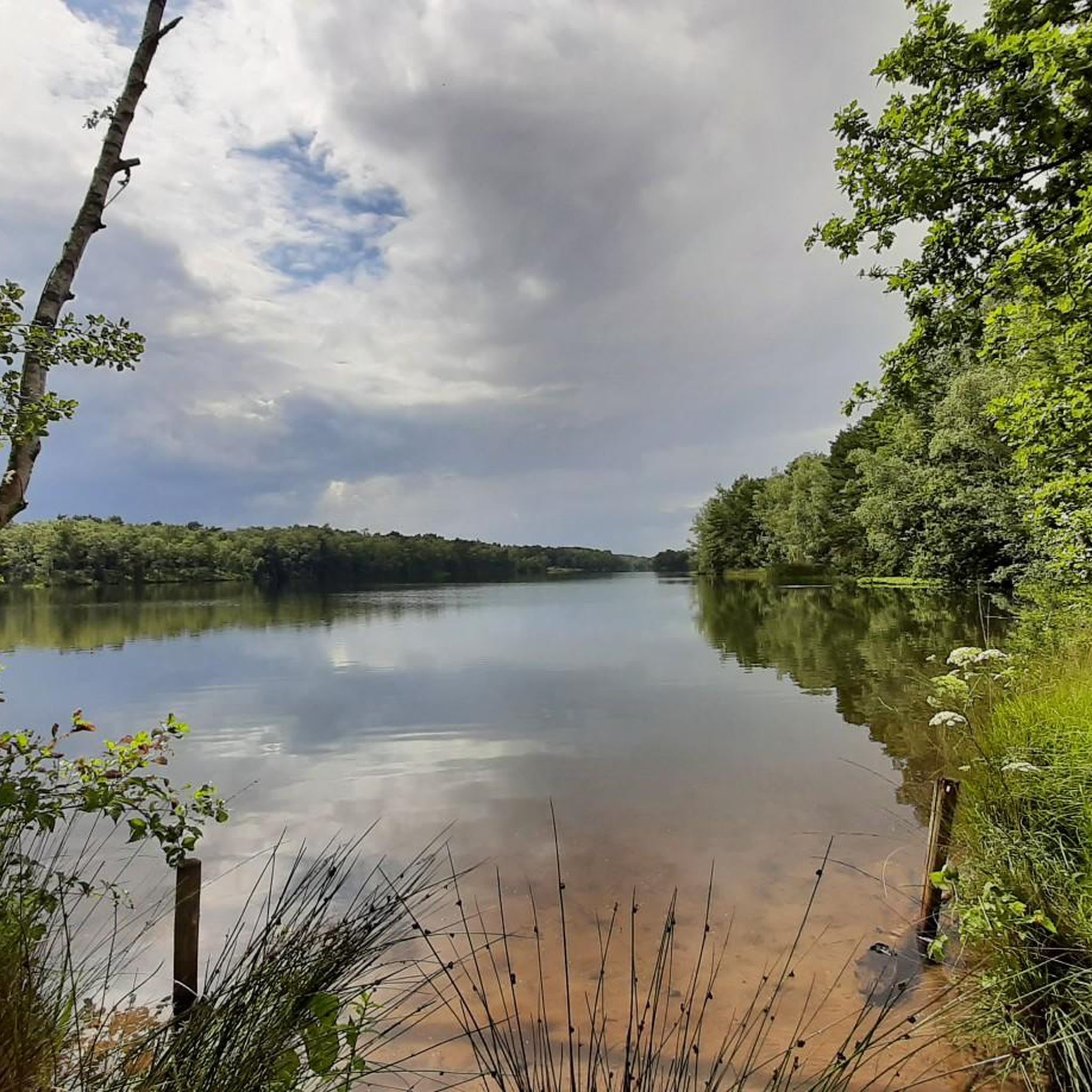
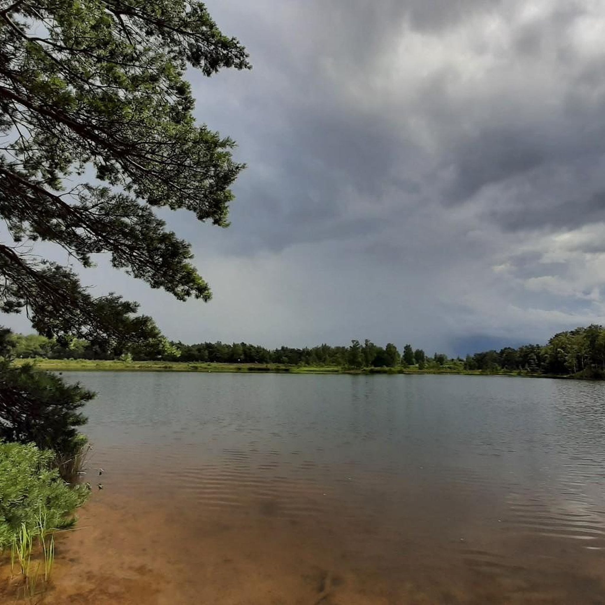
Between 1895 and 2010, more than 2,000 missionary sisters were trained here to be sent out to missions worldwide. It marks the beginning of a beautiful semi-paved path to and through West-Beersgat, once known as the forest of the Antwerp Public Centre for Social Welfare (OCMW). In the second half of the nineteenth century, the heathland on the poor sandy soils had to make way for coniferous forests. After the Second World War, several stands of Scots pine were replaced by Corsican pine, larch, and spruce to create a production forest and hunting area. West-Beersgat is a large forest of over 68 hectares in Wuustwezel, which we traverse entirely via a "Dream Link."
0
0

the bridge is located on a gravel road. Here are some information boards and there is a column that explains the area of Marum in a spoken voice.
0
0

Next to the bridge is another nice resting place with nice interactive information about the area.
1
0

Old Bailey Bridge still does what it has to do. Ensuring that everyone can reach the other side dry-shod. The concept behind the Bailey Bridge, introduced in 1940 by English engineer Sir Donald Bailey, was to provide a temporary bridge that could be built quickly and manually in wartime and that could support the load of heavy tanks and other machinery.
6
0

West Beersgat Wuustwezel. It is not only the habitat for many birds, such as black woodpecker, goshawk and buzzard, but also offers space for fox, pine marten and roe deer.
30
1

Lovely forest, that tranquility that hangs there, as if the wind does not dare to come.
2
1
At this location, on the edge of the Marum nature reserve, there is a Bailey bridge from the Second World War. This bridge, designed by Sir Bailey, accelerated progress in the liberation of Western Europe. This bridge on the Grote Beek was built after the war, but it still gives a nice picture of this example of British engineering. The segments of the bridge are designed to be installed without special tools and without a crane. The segments are light enough to be lifted by a number of men. The bridge is built where the bridge is to be built, for example from the bank of a river. As soon as 3 sections of 3 meters in length are ready, these are moved one section length on rollers after which subsequent sections are attached to it. This process is repeated until the bridge reaches the other side of the river. The bridge that lies here is limited in length. Bridges connect people and landscapes, so we still enjoy the solidity of these bridge constructions today. Thank you Sir Donald Bailey and the municipality of Wuustwezel for maintaining this monument.
2
0

The Kleien Aa or Weerijs originates in Brecht near the Kempense Vaart. She crosses the Marum. During the Second World War, this stream was straightened and deepened. Recently, the stream was restored to its former glory at a number of strategic locations using historical maps. The water quality has been restored in recent years and, together with the restoration of the stream structure, they have succeeded in turning the Aa into a species-rich stream.
6
0
Frequently Asked Questions
How many running routes are available in Wuustwezel?
Wuustwezel offers a wide selection of running routes, with over 130 trails available for you to explore. These routes cater to various preferences, ranging from easy strolls to more challenging runs through the diverse landscapes of the region.
What kind of terrain can I expect on jogging trails in Wuustwezel?
The jogging trails in Wuustwezel feature a diverse landscape, characterized by expansive forests, open heathlands, and tranquil agricultural fields. The area's name, meaning 'wooded stream,' reflects its historical abundance of forests and small waterways, providing a naturally scenic and varied environment for your runs.
Are there any easy running routes suitable for beginners or families in Wuustwezel?
Yes, Wuustwezel has several easy running routes perfect for beginners or families looking for a relaxed jog. While most routes are moderate, there are at least 4 designated easy trails. These paths often traverse local green spaces and offer a gentle introduction to the region's natural beauty.
Can I find longer running trails for endurance training in Wuustwezel?
Absolutely. For those seeking longer distances, Wuustwezel offers several routes that extend beyond 9 kilometers. For example, the Scenic Bicycle Path – West-Beersgat Gravel Road loop from Wuustwezel covers nearly 12 kilometers, providing ample distance for endurance training amidst varied scenery.
What are some scenic spots or natural attractions I can see while running in Wuustwezel?
Wuustwezel's routes often pass by beautiful natural attractions. You can experience the unique ecosystem of the Kalmthoutse Heath Nature Reserve, known for its diverse landscape. Other notable spots include the marshy area of Putse Moer with its ponds, and the Kalmthoutse Heide Observation Tower for panoramic views.
Are there any running routes that incorporate waterways or bridges?
Yes, some routes in Wuustwezel integrate small waterways, enhancing the natural appeal. The Bailey Bridge over the Kleine Aa loop from Loenhout is a great example, leading you through areas near the Kleine Aa waterway, offering pleasant riverside paths and a unique bridge crossing.
What do other runners say about the trails in Wuustwezel?
The running trails in Wuustwezel are highly regarded by the komoot community, boasting an average rating of 4.3 stars from over 15 reviews. Runners frequently praise the varied terrain, from shaded forests to open heathlands, and the well-maintained paths that make for an enjoyable outdoor experience.
Are there specific routes that offer a good mix of forest and open areas?
Many routes in Wuustwezel provide a balanced experience of different landscapes. For instance, The Marum Forest loop from Wuustwezel offers a significant portion through wooded areas, while still allowing glimpses of the surrounding open fields, characteristic of the region's diverse scenery.
Can I find running paths that are circular in Wuustwezel?
Yes, many of the popular running paths in Wuustwezel are designed as loops, offering convenient circular routes. Examples include the Running loop from Gooreind and the Running loop from KMO-zone Bosduin, allowing you to start and finish at the same point without retracing your steps.
Are there any designated running routes or marked trails in the area?
Beyond the routes highlighted on komoot, Wuustwezel also features marked trails such as the Sport Vlaanderen Looproutes. These include options like the "Koch - Rode lus" (5.62 km), "Koch - Blauwe lus" (4.61 km), and "Koch - Groene lus" (1.63 km), providing clear guidance for runners of all levels.
Most popular routes around Wuustwezel
Most popular attractions around Wuustwezel

Get inspired with the komoot mobile app


Explore more
Browse the best Running Trails & Routes in other regions.
