The best MTB trails around Beyne-Heusay
4.2
(1087)
8,414
riders
393
rides
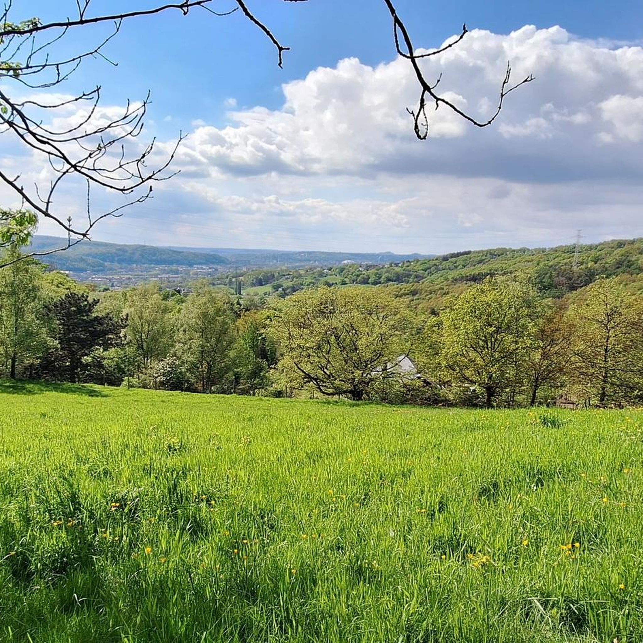
Mountain biking around Beyne-Heusay offers diverse terrain across the lower parts of the Herve plateau, characterized by rolling hills, valleys, and extensive woodlands. Elevations range from 56 to 268 meters, providing varied challenges for cyclists. The region features a mix of natural topography with ascents and descents, including scenic views of the Chaudfontaine valley. This landscape creates an ideal setting for both traditional and electric mountain biking.
Best mountain bike trails in Beyne-Heusay
- The most popular mountain bike trail is…
Last updated: October 7, 2026
4.0
(6)
107
riders
31.2km
02:52
860m
860m
Moderate mountain bike ride. Good fitness required. Suitable for all skill levels.
3.9
(7)
53
riders
31.9km
01:42
180m
180m
Easy mountain bike ride. Great for any fitness level. Suitable for all skill levels.

4.9
(10)
69
riders
46.4km
02:37
380m
380m
Moderate mountain bike ride. Good fitness required. Suitable for all skill levels.
4.8
(4)
17
riders
48.9km
03:25
570m
570m
Moderate mountain bike ride. Good fitness required. Advanced riding skills necessary.
3.5
(4)
20
riders
33.8km
01:57
230m
230m
Easy mountain bike ride. Great for any fitness level. Suitable for all skill levels.
Get access to more routes and recommendations from other explorers.
Already have an account?
Our route recommendations are based on thousands of hikes, rides, and runs completed by other people on komoot.
Start today with a free account
Your next adventure awaits.
Tips from the Community

Beautiful view for a stop on the bike path. Charging station for e-bikes available. There is an elevator to the top.
0
0

Lost in the heart of the Chaudfontaine woods, the Devil's Bridge (Pont du Diable) intrigues as much as it attracts. This small arch of dry stones, perched on the schist rocks, seems almost incongruous in the middle of the forest. And like any good "Devil's Bridge", it has its legend… A passage full of character that gives this hike a little touch of mystery.
1
0

One of the 12 forts of the defense belt around Liège. Played a role in both WWI and WWII. Guided tours by appointment. Nowadays used as an adventure course.
0
0
One of the 12 forts that formed a defensive belt around Liège. Played a role in both world wars. Can be visited by appointment. Now also used as a sporty adventure area.
0
0

The fort of Chaudfontaine is one of the twelve forts built for the defense of Liège, in Belgium, at the end of the 19th century on the initiative of the Belgian general Henri Alexis Brialmont. Built from 1888 to 1892, as a modern concrete infrastructure, equipped with the most modern weapons of the time, the fort of Chaudfontaine is one of the six small forts of the Liège belt. Dominating the Vesdre valley on the right bank at an altitude of 220 m, it is located, with that of Embourg, south of the fort of Fléron and east of that of Boncelles. During the First World War, after two days of resistance, the fort surrendered on August 13, 1914, following the explosion of a German shell in the vault of the ammunition store. The street leading to the fort was renamed "rue du XIII Août" and a military cemetery was established there, as well as a monument in homage to 50 of the 71 victims buried in the necropolis and who perished in the fire of the fort (explosion). In 1933, the fort was renovated, rearmed, and consolidated. A thick layer of reinforced concrete, intended to withstand the heaviest equipment, reinforced the vaults. During the Second World War, during the Battle of France, the fort resisted for a few days, but, shelled by the Luftwaffe from the morning of May 17, 1940, it was abandoned at the end of the day after the explosion of a German grenade inside, then a shell at the entrance. A shooting club called "La Trairie" has been located there since 1983 in the casemates defending the moats. Since the 1990s, the fort of Chaudfontaine, renamed "Fort Adventure", has been occupied and developed by a company that organizes adventure courses there, for adults as well as for children.
2
0
The military cemetery of Chaudfontaine
2
0
The RAVeL L38 is considered one of the most beautiful cycle paths in Belgium
1
0
Reminiscent of the golden age of railways
1
0
Frequently Asked Questions
What kind of terrain can I expect when mountain biking in Beyne-Heusay?
Beyne-Heusay offers diverse terrain, characterized by the lower parts of the Herve plateau. You'll find rolling hills, valleys, and extensive woodlands. Elevations range from 56 to 268 meters, providing a mix of ascents and descents. The region also features scenic views of the Chaudfontaine valley and includes sections of the RAVeL network.
Are there mountain bike trails suitable for beginners in Beyne-Heusay?
Yes, Beyne-Heusay offers trails for various skill levels, including easy options. An example of an easier route is the RAVeL 5: Along the Ourthe loop from Chênée, which is 18.5 km long and features minimal elevation changes, making it suitable for those new to mountain biking or looking for a relaxed ride.
Where can I find more challenging mountain bike routes in the area?
For more challenging rides, consider routes like the Fort Barchon – Julienne Ponds loop from Fléron. This difficult 58.7 km trail features over 800 meters of elevation gain, offering a significant workout and technical sections through varied terrain.
What are some notable landmarks or viewpoints I can see while mountain biking?
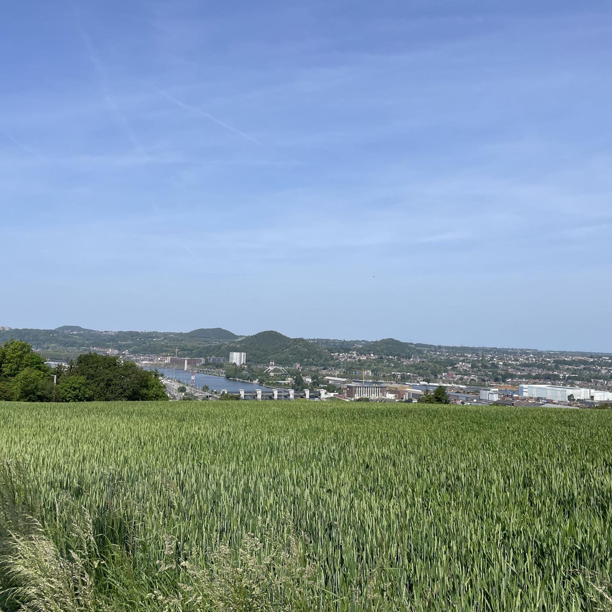
Many routes offer scenic views and pass by interesting points. You can experience fabulous views of the Chaudfontaine valley, especially along routes like the Fort de Chaudfontaine – Pont du Diable Fountain loop from Fléron. The Roche-aux-Faucons Ridge Trail is a prominent natural feature offering unmissable valley views. The Albert Canal Riverside Path also provides unique views of the surrounding industrial character.
Are there any family-friendly mountain bike options in Beyne-Heusay?
The RAVeL network, which is integrated into many routes in Beyne-Heusay, offers paths suitable for family cycling. These often follow former railway lines, providing flatter, well-maintained surfaces away from traffic. The RAVeL 5: Along the Ourthe loop from Chênée is an easy option that families might enjoy.
Can I bring my dog on the mountain bike trails in Beyne-Heusay?
While specific regulations for dogs on mountain bike trails can vary, many natural areas and public paths in the Walloon region are generally dog-friendly, especially if dogs are kept on a leash. It's always recommended to check local signage and respect other trail users. The extensive woodlands and RAVeL paths often provide good opportunities for rides with your canine companion.
What do other mountain bikers say about the trails in Beyne-Heusay?
The mountain bike trails in Beyne-Heusay are highly rated by the komoot community, with an average score of 4.2 stars from over 800 reviews. Riders often praise the varied terrain, the scenic views of the Chaudfontaine valley, and the mix of challenging and easier sections available through the woodlands and RAVeL network.
Are there any circular mountain bike routes available?
Yes, many of the mountain bike routes in Beyne-Heusay are designed as loops, allowing you to start and finish at the same point. Examples include the Wadeleux Woods – Fort Battice Memorial loop from Fléron and the Fort de Chaudfontaine – Pont du Diable Fountain loop from Fléron.
Is there public transport access to the mountain bike trails?
Beyne-Heusay is part of the broader Liège administrative arrondissement, which has public transport connections. While specific trailheads might require a short ride or walk from public transport stops, the RAVeL network, accessible from various points, often connects to urban areas, making some routes reachable without a car. For detailed local transport information, you might consult the Visitez Liège website.
Are there places to eat or drink near the mountain bike trails?
Beyne-Heusay and its surrounding villages offer various cafes and pubs where you can refuel after your ride. While specific establishments directly on the trails are rare, you'll find options in the main towns and villages that serve as starting points or pass-throughs for many routes.
What is the best time of year to go mountain biking in Beyne-Heusay?
The region's diverse landscapes, including woodlands and rolling hills, are enjoyable throughout much of the year. Spring and autumn offer pleasant temperatures and beautiful scenery with changing foliage. Summer is also popular, though trails can be busier. Winter riding is possible, but conditions may be muddy or icy, especially in shaded forest sections.
Are there any specific bike parks or dedicated mountain biking areas?
While Beyne-Heusay itself is known for its natural trails, the broader area around Liège offers some dedicated spots. Within the region, you can find highlights like the Mountain Bike Trail Near Étangs de la Julienne and Le Vallon Downhill Trail, which cater to more specific mountain biking experiences.
Most popular routes around Beyne-Heusay
Most popular attractions around Beyne-Heusay

Get inspired with the komoot mobile app


Explore more
Browse the best MTB trails in other regions.
