The best walks and hikes around Saint-Léger
4.4
(292)
1,320
hikers
110
hikes
Hiking around Saint-Léger offers diverse opportunities to explore varied landscapes. The region features forests, peat bogs, and mountainous terrain, particularly in areas like Saint-Léger-la-Montagne and Saint-Léger-les-Mélèzes. Hikers can encounter natural features such as waterfalls, rivers, and sections of the Way of Saint James. The area provides access to both serene natural beauty and more rugged mountain environments.
Best hiking trails around Saint-Léger
- The most popular hiking route is Walk of the Crosses, a 10.6 miles (17.1 km) trail that…
Last updated: October 10, 2026
4.6
(5)
17
hikers
17.1km
04:38
230m
230m
Hike the moderate 10.6-mile Forêt de Saint-Léger loop in Gaume Nature Park, featuring wooded paths and the Éperons Barrés Viewpoint.
4.7
(12)
59
hikers
4.72km
01:16
50m
50m
Easy hike. Great for any fitness level. Easily-accessible paths. Suitable for all skill levels.

4.9
(18)
40
hikers
Moderate hike. Good fitness required. Easily-accessible paths. Suitable for all skill levels.
4.9
(9)
42
hikers
12.5km
03:19
130m
130m
Moderate hike. Good fitness required. Easily-accessible paths. Suitable for all skill levels.
4.2
(10)
43
hikers
7.12km
01:50
40m
40m
Easy hike. Great for any fitness level. Easily-accessible paths. Suitable for all skill levels.
Get access to more routes and recommendations from other explorers.
Already have an account?
Our route recommendations are based on thousands of hikes, rides, and runs completed by other people on komoot.
Start today with a free account
Your next adventure awaits.
Tips from the Community

The Trench of Gates: Gateway to Gaume, Gateway to Legends 1. What is it? Physical Description The Trench of Gates is a deep and spectacular rocky gorge, naturally carved by the Vire River (a tributary of the Semois) into the sandstone plateau of the Gaume forest. Located in the village of Dampicourt (commune of Rouvroy), on the French border, it forms a narrow and winding notch, framed by high sandstone walls and strangely shaped rocks. Its name comes from its topography: the site gives the impression of crossing several successive natural "gates." 2. A Strategic Position: Military History The true fame of the Trench of Gates comes from its historical role as a natural fortress and strategic border post. A Gallic Stronghold? : Its easily defensible configuration suggests that it was used as a refuge since the Gallic era. The Roman Fort: Its strategic role became evident during the Roman era. The Romans established a castellum (a fortified camp) there to control the passage between Belgic Gaul and Imperial Trier, and to protect the nearby Roman road. Remains of these fortifications were still visible several centuries ago. A Millennial Challenge: Due to its position on the border, the site has been contested and fortified throughout history, from the Middle Ages to modern wars. It offered an ideal control point over one of the few passable passages through the region's wooded terrain.
1
0
One of the village's peculiarities
0
0

The trail from this viewpoint is a real balancing challenge towards the end, very rocky with large gravel. It seems to me that a few years ago the trail was not so perilous. It is part of the official permanent route "La Croix Renson en Gaume" which advises to do it clockwise, so this uphill trail is impossible! Except for a trialist with Hulk legs and a motorcycle traction. 🙄
0
0

It depends which way... 😀😇
0
0

It stings a little 😂
1
0

The Cuisine Sauvage chalet in Saint-Léger is a friendly place to spend a Sunday in a unique atmosphere, where the Friends of Rouge Eau team welcomes you! With friends, family, or a loved one, it's the perfect spot for a natural forest meal: Rouge Eau nearby, cold drinks, and shaded tables in the heart of the forest. Enjoy a game of pegs, Mölkky or pétanque, or even walk on stilts. The chalet is open every Sunday in summer from 2 p.m. to 8 p.m. and can be rented outside of certain dates. All you need to bring are sausages, bread, and a market garden salad!
3
0
At this site, fed by two tributary streams of the Ton, ironworks are believed to have been carried out as early as the 15th century. Column furnaces (internationally renowned and still highly sought after today), chimney backs, and pumps were manufactured here. On some roads in the region and in the surrounding villages, you can still see sewer inspection chamber signs bearing the inscription "Ateliers et fonderie Dominicy Châtillon" (Dominicy Châtillon Workshops and Foundry). These establishments later specialized in the manufacture of agricultural machinery. The factory enjoyed great prosperity during the interwar period. But in 1966, it was forced to close its doors permanently.
1
0
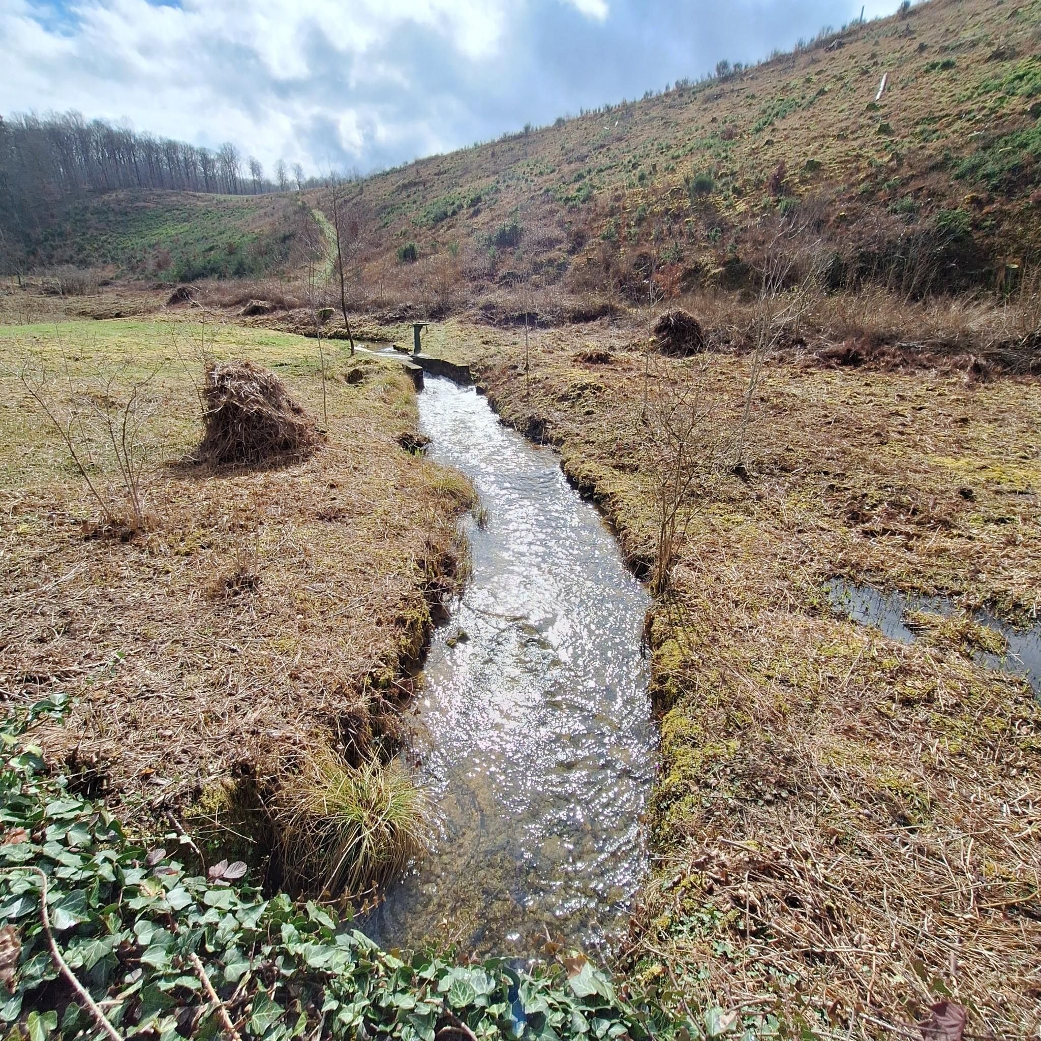
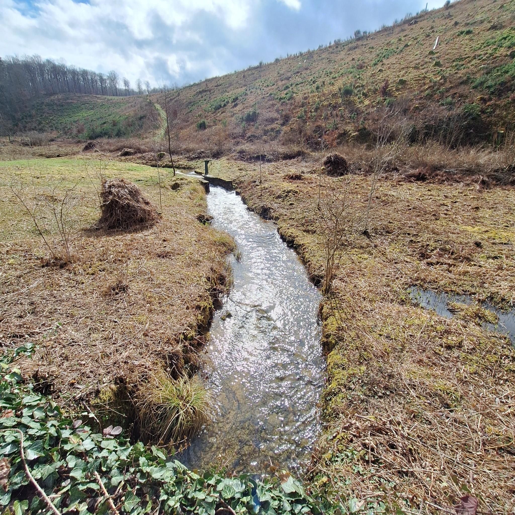
In Gaume, the term "crons" (or "cranières") refers to the petrifying limestone springs and the limestone tuff massifs thus formed. The site now appears as a steeply sloping clearing facing south-southeast and traversed by a stream of crystal-clear water. The vegetation and ecological conditions are remarkably diverse: calcareous grasslands, alkaline marshes dominated by Molinia, dry and wet rock slabs, sedge meadows with sedge, buckthorn willow, thermophilic proforest ridges, etc. This environment is a NATURA 2000 priority habitat in the European Union. The wild columbine, with its blue flowers, blooms here in spring. The fauna is also remarkable: the site, for example, is a favorite biotope of a rare dragonfly, the bidentate cordulegastre, whose larvae develop in the thin streams of water. The Haie de Han de Saint-Léger Cron Reserve was created thanks to the Municipality of Saint-Léger making available two plots of land located within its forest property (agreement of November 8, 2004): the eastern cron here and the western cron, some 350 m downstream. The formation of the crons is linked to the precipitation of dissolved limestone in the water from springs gushing upstream at an impermeable marl bank. The springs are an outlet for rainwater, which infiltrates through the sandy limestone layers of Orval and becomes saturated with calcium. In the open air, the dissolved limestone precipitates due to the heating promoted by the topography of the area (a sunny slope) and the growth of mosses. The precipitation eventually produces a rock mass, gradually causing the stream to spread and shift. Areas of so-called active cron (current deposits) and dry, non-irrigated slabs (senile stage of cron) coexist. Calcareous tuff, also called travertine, is a hard and light rock that has had various uses in the past as a construction material (road conduits, door frames, etc.) but also as a steelmaking flux (limestone) during the forging era.
2
0
Frequently Asked Questions
What types of hiking trails can I find around Saint-Léger?
Saint-Léger offers a diverse range of hiking trails, from serene forest paths and peat bogs to more rugged mountainous terrain. You can explore areas like Saint-Léger-la-Montagne with its historical Grandmont monks' path, or the Gaume Nature Park which features wooded trails and viewpoints. The region also includes sections of the Way of Saint James and areas with waterfalls and rivers, particularly around Saint-Léger-les-Mélèzes.
Are there any easy hiking trails suitable for beginners or families?
Yes, Saint-Léger has several easy trails perfect for beginners or families. An excellent option is the Trou du Pérou Waterfall – Parc Naturel de Gaume loop from Châtillon, which is 3.1 miles (5.0 km) long and leads through the beautiful Parc Naturel de Gaume to the Trou du Pérou Waterfall. Overall, there are over 40 easy routes available in the region.
What natural features or landmarks can I see while hiking in Saint-Léger?
The region boasts a variety of natural features and landmarks. In the Gaume Nature Park, you can discover the Trou du Pérou Waterfall. Other notable attractions include the Fairies' Cave, the Cron de Montauban, and various lakes such as Tattert-Thiaumont Pond and Lake Messancy. The area around Saint-Léger-les-Mélèzes is also known for its cascading waterfalls and rivers feeding into the Drap Blanc river within Ecrins National Park.
Are there any circular hiking routes available?
Yes, many trails in Saint-Léger are designed as circular routes. For example, the Parc Naturel de Gaume – Trou du Pérou Waterfall loop from Saint-Léger is a moderate 6.0 miles (9.6 km) trail. Another option is the Wachet Way of the Cross – Notre-Dame du Refuge Chapel loop from Châtillon, which offers a pleasant hike through the landscape.
What do other hikers say about the trails in Saint-Léger?
The hiking trails around Saint-Léger are highly regarded by the komoot community, holding an average rating of 4.4 stars from over 250 reviews. Hikers often praise the varied terrain, the natural beauty of the forests and waterfalls, and the well-maintained paths that cater to different ability levels.
Can I bring my dog on the hiking trails in Saint-Léger?
While specific regulations can vary by location within the broader Saint-Léger region, many natural areas and trails in France and Belgium are dog-friendly, often requiring dogs to be on a leash. It's always recommended to check local signage or specific park rules for the exact trail you plan to hike to ensure a pleasant experience for both you and your dog.
Is public transport available to access hiking trailheads?
Access to trailheads via public transport can vary depending on the specific Saint-Léger location. In areas like Saint-Léger in the Gaume Nature Park, local bus services might connect to nearby towns or villages, but direct access to all trailheads may be limited. For more remote trails, personal transport is often more convenient. It's advisable to research local transport options for your chosen starting point.
Are there parking facilities near the hiking trails?
Yes, many popular hiking areas and trailheads around Saint-Léger, especially those within or near villages and natural parks, typically offer designated parking facilities. These can range from small car parks at specific points of interest to roadside parking. It's recommended to check the starting point of your chosen route for specific parking information.
What is the best time of year to go hiking in Saint-Léger?
The best time to hike in Saint-Léger largely depends on the experience you seek. Spring and autumn offer pleasant temperatures and vibrant scenery, with spring bringing wildflowers and autumn showcasing colorful foliage. Summer is ideal for enjoying the refreshing mountain environment, especially in areas like Saint-Léger-les-Mélèzes with its waterfalls. Winter hiking is possible, particularly on lower elevation trails, but requires appropriate gear and awareness of conditions.
Are there any long-distance hiking opportunities in the Saint-Léger area?
Yes, the Saint-Léger region offers access to sections of longer routes. Notably, some areas are part of the Via Turonensis, a famous route of the Way of Saint James, providing opportunities for extended walks. While not all trails are long-distance, many can be combined or are part of larger networks, allowing for longer excursions.
How many hiking routes are available in total around Saint-Léger?
There are over 100 hiking routes available around Saint-Léger, catering to various skill levels. This includes approximately 40 easy routes, over 60 moderate routes, and a few more challenging options for experienced hikers.
Can I find historical sites or cultural points of interest along the trails?
Yes, the region is rich in history. In Saint-Léger-la-Montagne, you can follow the historical Grandmont monks' path. Other historical sites include the Montauban Ancient Ironworks Ruins and the Old Buzenol Railway Station. The Walk of the Crosses also offers insights into local heritage.
Most popular routes around Saint-Léger
Most popular attractions around Saint-Léger

Get inspired with the komoot mobile app


Explore more
Browse the best Hikes in other regions.
