The best MTB trails around Bassenge
4.3
(746)
6,588
riders
18
rides
Mountain biking around Bassenge offers diverse landscapes, characterized by the picturesque Geer Valley and the limestone massif of Montagne Saint-Pierre. The region features varied terrain, including rolling hills, open countryside, and paths alongside the Albert Canal. These natural features provide a range of environments suitable for different mountain biking experiences.
Best mountain bike trails around Bassenge
- The most popular mountain bike trail is Katteberg Path – Alden Biesen Gatehouse loop from Glons, a 49.6 miles (79.9 km) trail that…
Last updated: October 7, 2026
3.3
(7)
22
riders
36.5km
02:47
330m
330m
Moderate mountain bike ride. Good fitness required. Advanced riding skills necessary.
6
riders
80.2km
05:25
500m
500m
Hard mountain bike ride. Very good fitness required. Advanced riding skills necessary.

12
riders
45.2km
03:03
280m
280m
Moderate mountain bike ride. Good fitness required. Advanced riding skills necessary.
4.7
(3)
7
riders
27.1km
01:35
190m
190m
Easy mountain bike ride. Great for any fitness level. Suitable for all skill levels.
6
riders
35.2km
02:03
240m
240m
Moderate mountain bike ride. Good fitness required. Advanced riding skills necessary.
Get access to more routes and recommendations from other explorers.
Already have an account?
Our route recommendations are based on thousands of hikes, rides, and runs completed by other people on komoot.
Start today with a free account
Your next adventure awaits.

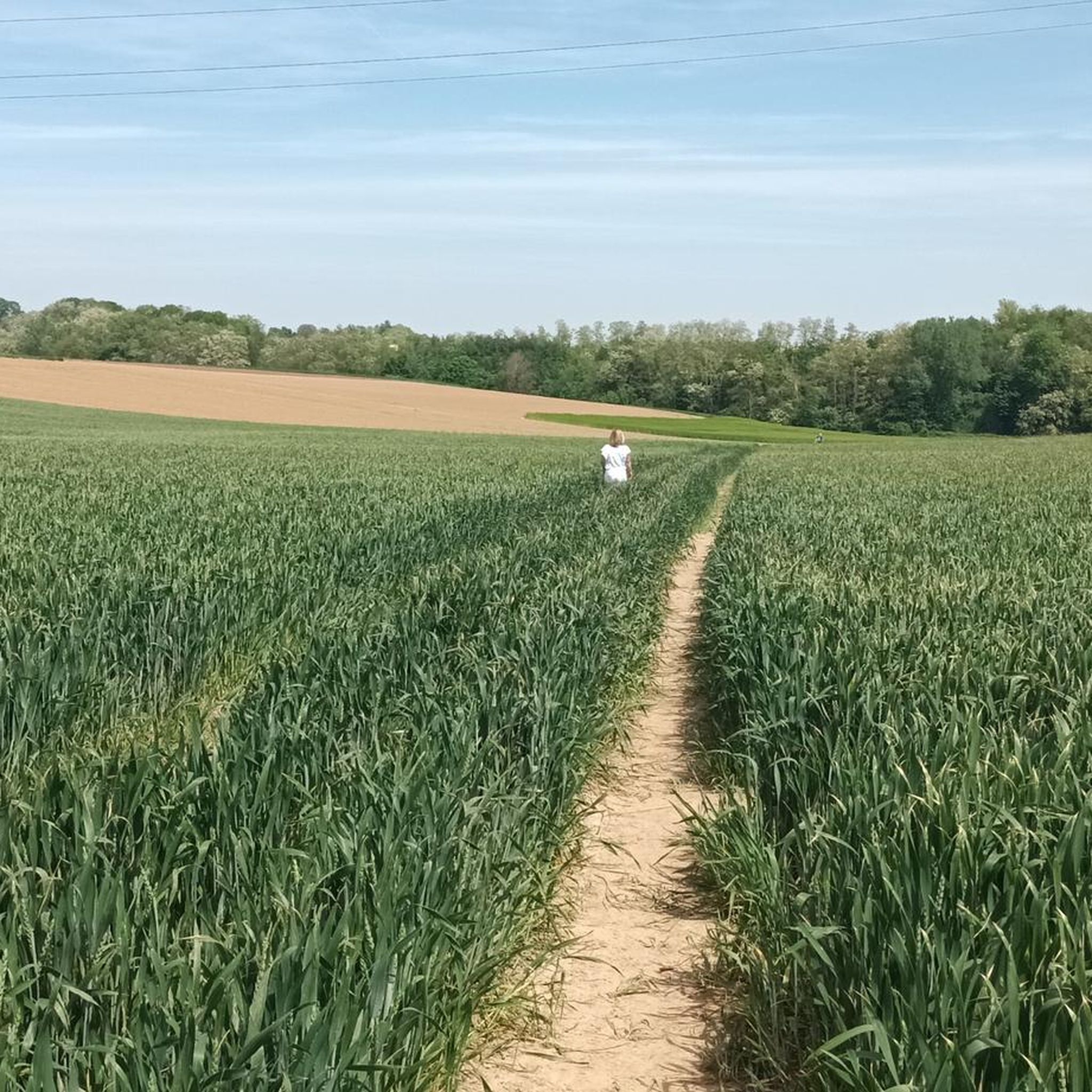
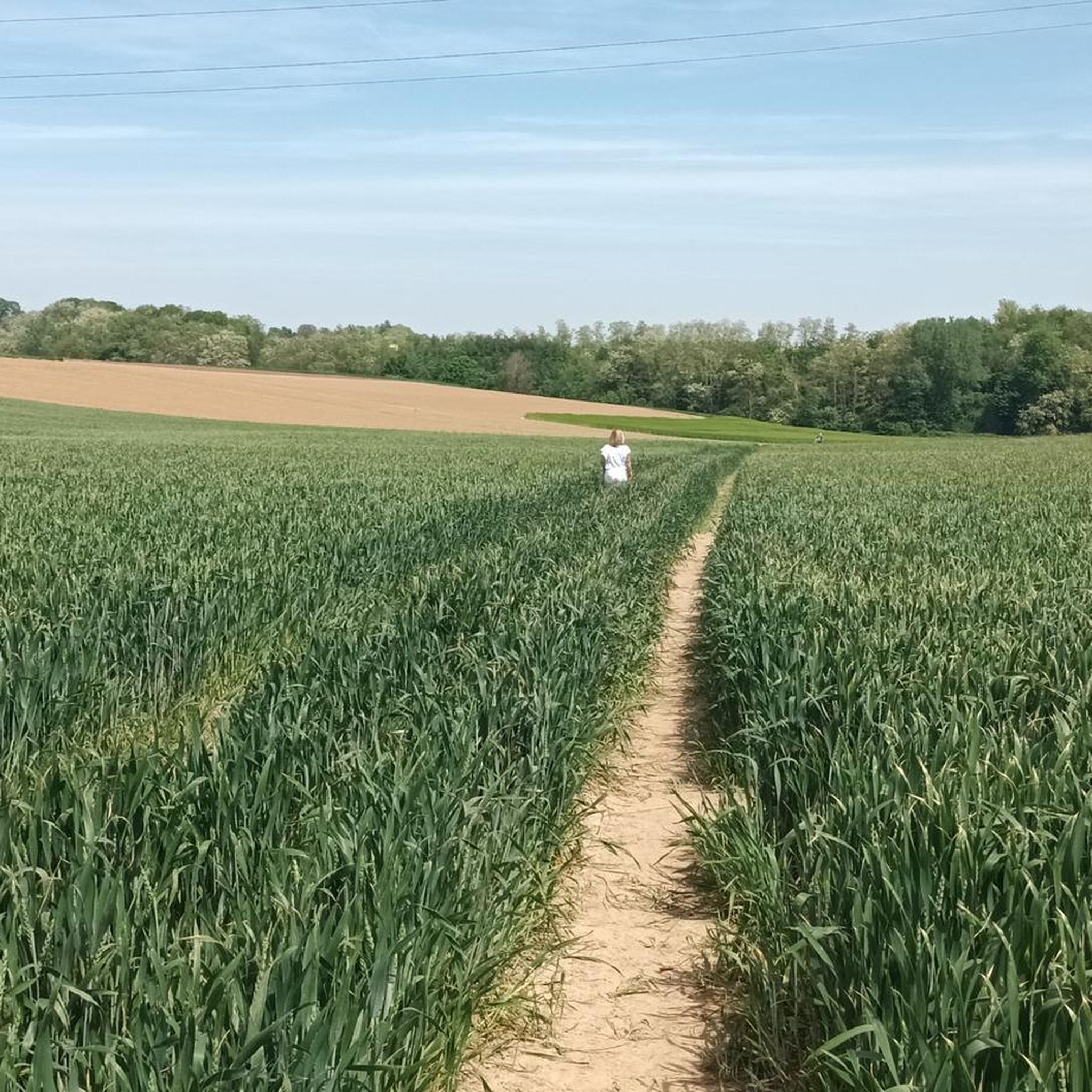
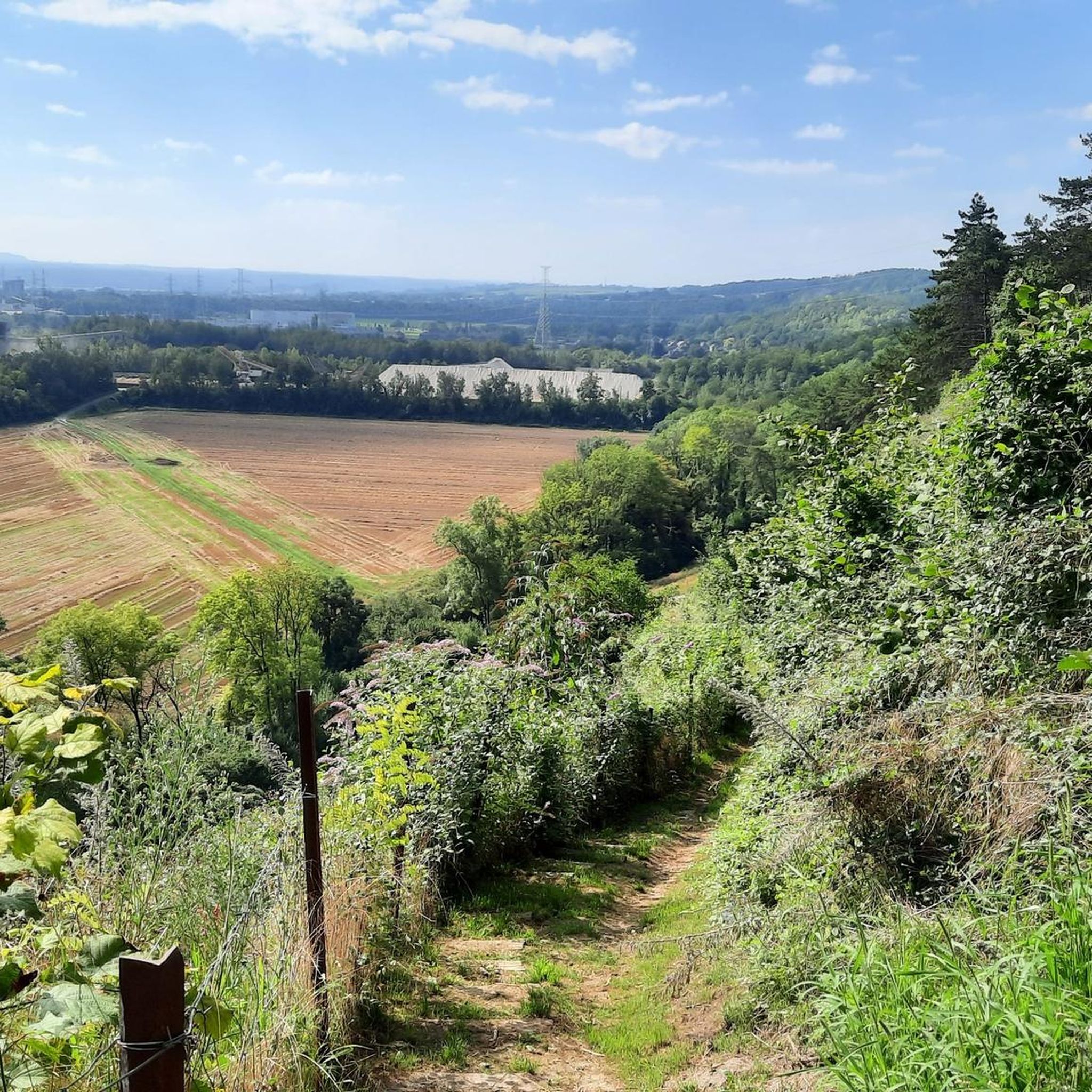
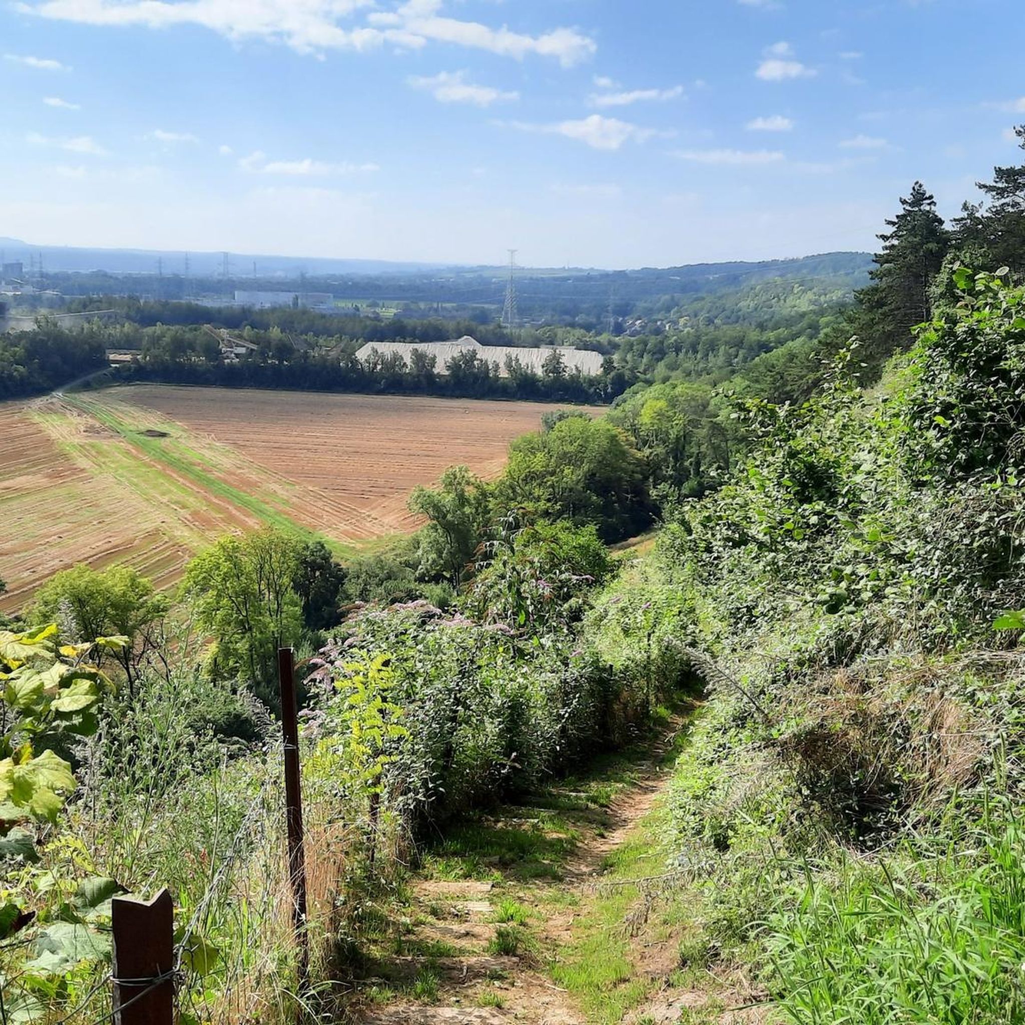

Other adventures around Bassenge

Tips from the Community

This section, together with the water lock and the outer bailey, belongs to the oldest parts: in the Apostles' House, remains of the late Gothic ordinance from the second half of the 16th century from the building campaign of Land Commander Wijnandt van Brijel have been preserved. The complex is located at the highest point of the domain, on the eastern side of the commandery. Seven avenues converge at the gate, symbolizing the Seven Sorrows and Joys of Mary. To the right of the gatehouse was the now disappeared Apostles' House; it was an L-shaped building of two storeys, with a chapel on the ground floor, and twelve rooms for needy men, hence the name Apostles' House; late Gothic core from the second half of the 16th century, enlarged and adapted in 1716-1726, under Commander Damian Hugo von Schönborn, as indicated by a facade stone. After World War II, the Apostles' House slowly deteriorated but has since been restored.
2
0
The Katteberg is said to owe its name to a quarry in the nearby Leten called 'In de Kat'. This nature reserve on the Demer is very varied with its fish ponds, species-rich meadows, rough areas, an orchard and a slope forest. The walking path that leads via the Leterweg to Alden Biesen follows the route of a vanished tram line. This was built in 1908-1910 to connect the industrial area of Liège with the Limburg coal mines. The tram line had to bridge a height of 25 meters here and crossed the Demer via a double arched bridge in masonry. The tram tracks were removed in 1952. The pond behind the tram bridge was created by the extraction of clay for the Belisia tile factory in the Zeepstraat.
5
0

The Katteberg follows the route of an old tramway. A climb not to be underestimated awaits you here. Historical context: This semi-hardened gravel path follows the route of the former tram line that connected the coal mines of Genk with the industrial area of Liège. The construction of the tram line began in 1908. To overcome the difference in altitude between the station and the hamlet of Leten, an earthen embankment was built over a distance of 700 meters, cutting straight through the Katteberg. A double arch bridge in masonry was built over the Demer river. The steam tram was put into operation in 1910 and caused a huge increase in passenger traffic in the region. The tram was definitively taken out of service in August 1948. The tram tracks were removed in 1952. Now, this is a route where recreational users, hikers, and cyclists can cross paths. Each at their own pace, enjoying together.
7
0

You will have to stand on tiptoe to observe the body of water over the fence.
3
0

The Moulin du Broukay is a former flint mill on the Geer River near Eben-Emael, built in the 1950s as an industrial flint-grinding mill. It primarily served the Meuse Valley foundations but later fell into disrepair. Today, it is a renovated cultural and recreational center with a café-restaurant, meeting and function rooms, and a starting point for hiking trails in the Montagne Saint-Pierre. The area is part of the "Archéo et Géo Espaces - Moulin du Broukay," which showcases the geology, archaeology, and industrial history of the Jeker/Geer Valley.
4
0

A very beautiful monument to peace.
3
0
Frequently Asked Questions
What makes mountain biking in Bassenge unique?
Mountain biking in Bassenge offers a diverse landscape, characterized by the picturesque Geer Valley and the limestone massif of Montagne Saint-Pierre. The terrain includes rolling hills, open countryside, and paths alongside the Albert Canal. Riders can expect a mix of natural, unshaped trails with technical sections, including chunky, rooty, and rocky paths, and some steep descents.
How many mountain bike trails are available in Bassenge?
There are over 15 mountain bike trails available in Bassenge, catering to various skill levels. The komoot community has rated these routes highly, with an average score of 4.4 stars from over 700 reviews.
Are there mountain bike trails for all skill levels in Bassenge?
Yes, Bassenge offers trails for different skill levels. You'll find 3 easy routes perfect for beginners, 11 moderate routes for those with good fitness, and 3 difficult routes for experienced riders seeking a challenge.
Can you recommend an easy mountain bike trail for beginners?
For beginners or those looking for a less strenuous ride, consider The Tomb of Ernest – Hedge Tunnel of Boirs loop from Glons. This easy 27.5 km trail offers a pleasant ride with manageable elevation changes.
Are there challenging mountain bike trails for experienced riders?
Experienced riders looking for a challenge can tackle Katteberg Path – Alden Biesen Gatehouse loop from Glons. This difficult route spans nearly 80 km and requires very good fitness, offering a long-distance ride through varied and demanding terrain.
What natural features or landmarks can I see while mountain biking in Bassenge?
Many trails offer scenic views of the Geer Valley and the Albert Canal. You might also encounter the unique natural reserve of Montagne Saint-Pierre, known for its calcareous soil and excavated caves. The region is rich in biodiversity and offers a blend of natural beauty and historical sites.
Are there any interesting historical sites or attractions near the mountain bike trails?
Yes, Bassenge is rich in history and attractions. You can explore the massive Fort Eben-Emael, visit the distinctive Eben-Ezer Tower which houses the Flint Museum, or see the Moulin du Broukay (Broukay Mill) with its park and art exhibitions. The Wonck Caves, historically used for tufa extraction, are also nearby.
Are there any mountain bike trails that offer views of the Albert Canal?
Yes, the View of the Albert Canal – Roelerdreef loop from Eben-Emael is a moderate 45.2 km trail that specifically leads through the Geer Valley with excellent views of the Albert Canal.
Are there any family-friendly mountain bike options in Bassenge?
While specific 'family-friendly' designated MTB trails aren't listed, the easy routes, such as The Tomb of Ernest – Hedge Tunnel of Boirs loop from Glons, are generally suitable for families with some biking experience. These trails tend to be less technical and shorter, making them more accessible.
What is the best time of year to go mountain biking in Bassenge?
The spring and autumn months generally offer the most pleasant conditions for mountain biking in Bassenge, with milder temperatures and beautiful scenery. Summer can also be enjoyable, but be prepared for potentially warmer weather. Winter riding is possible, but trails may be muddy or slippery depending on conditions.
Are there any loop trails available for mountain biking?
Many of the mountain bike trails in Bassenge are designed as loops, allowing you to start and end at the same point. Examples include Hedge Tunnel of Boirs – View of the Countryside loop from Glons and Alden Biesen Gatehouse – Guldentrail loop from Glons, providing convenient circular routes.
What do other mountain bikers say about the trails in Bassenge?
The mountain bike trails in Bassenge are highly rated by the komoot community, with an average score of 4.4 stars. Riders often praise the diverse landscapes, the variety of terrain from rolling hills to technical sections, and the scenic views of the Geer Valley and Albert Canal.
Most popular routes around Bassenge
Most popular attractions around Bassenge

Get inspired with the komoot mobile app


Explore more
Browse the best MTB trails in other regions.
