The best road cycling routes around Unterweißbach
4.4
(86)
1,302
riders
93
rides
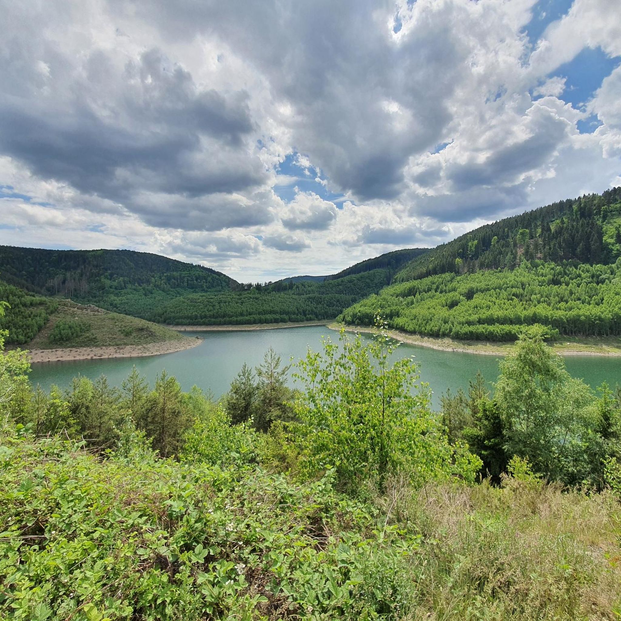
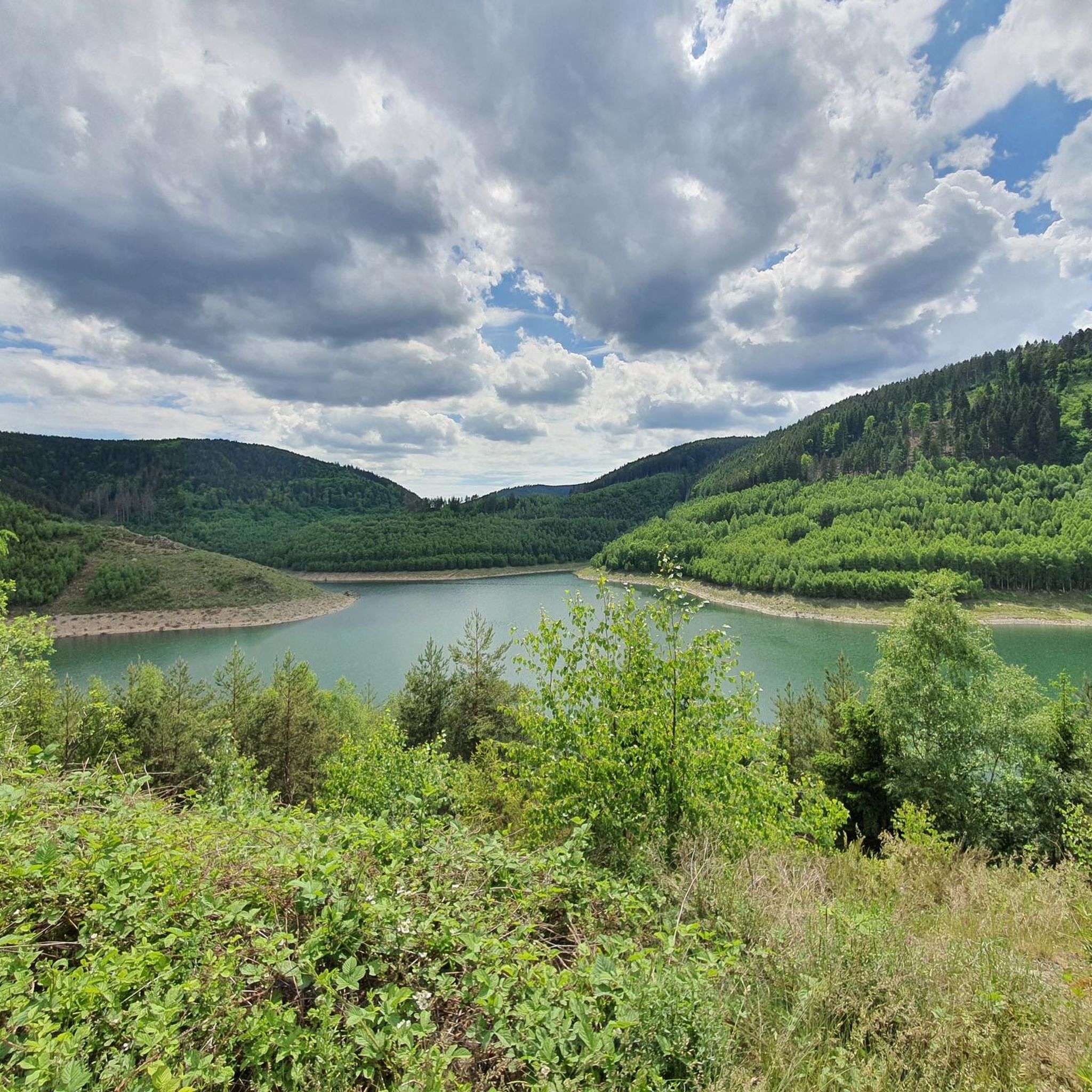
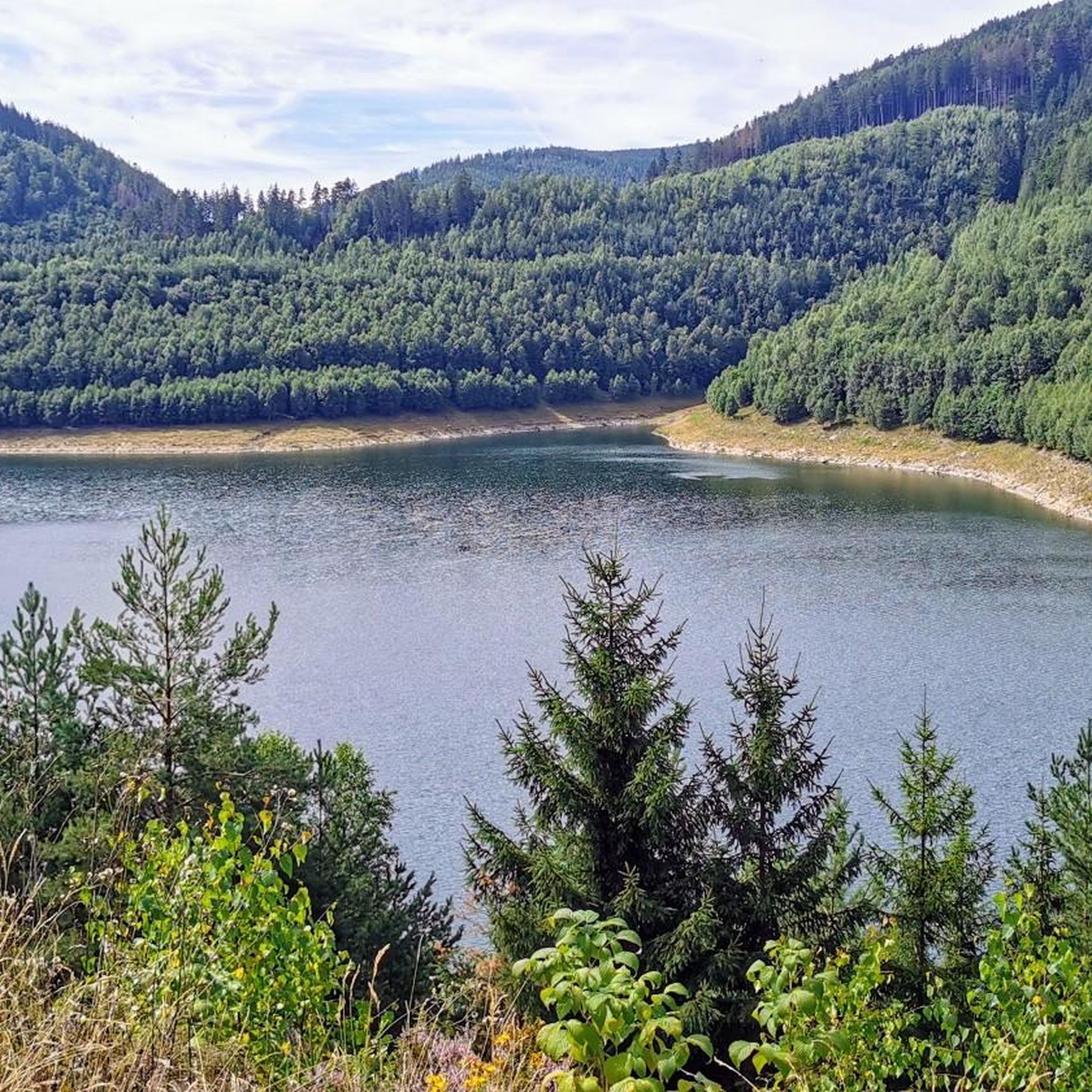
Road cycling routes around Unterweißbach traverse a diverse landscape characterized by hilly terrain and dense forests. The region features significant water bodies like the Leibis-Lichte Dam and Lichte Reservoir, offering scenic routes. Cyclists can also explore river valleys, such as the Schwarza River, which provide varied elevation profiles. This area in the Saalfeld-Rudolstadt region of Germany presents a range of road cycling experiences.
Best road cycling routes around Unterweißbach
- The most popular road cycling route is Schwarzatal Valley – Chrysopraswehr…
Last updated: July 9, 2026
4.0
(8)
43
riders
Moderate road ride. Great for any fitness level. Some segments of this route may be unpaved and difficult to ride.
4.0
(1)
25
riders
104km
04:52
1,330m
1,330m
Hard road ride. Very good fitness required. Some segments of this route may be unpaved and difficult to ride.

Sign up for free
5.0
(2)
31
riders
Moderate road ride. Good fitness required. Mostly well-paved surfaces and easy to ride.
12
riders
159km
07:48
2,400m
2,400m
Hard road ride. Very good fitness required. Mostly well-paved surfaces and easy to ride.
5.0
(1)
12
riders
Moderate road ride. Good fitness required. Mostly well-paved surfaces and easy to ride.
Get access to more routes and recommendations from other explorers.
Sign up for free
Already have an account?
Our route recommendations are based on thousands of hikes, rides, and runs completed by other people on komoot.
Start today with a free account
Your next adventure awaits.
Login or Signup

Tips from the Community

View from Liebenstein Castle...
0
0

This route is recommended for cyclists and hikers. 🙋♂️
1
0

Many pastures. Many horses.
1
0

A single-nave church dating from 1734-1736. Western roof tower. Inside, a painted wooden ceiling, pulpit altar, and baptismal angel.
0
0
A single-nave church dating from 1729, built on the foundations of an earlier structure. The western neo-Gothic tower, added in 1900, features a gable roof and a spire. Inside are a pulpit altar and a baptismal font.
0
0

Comfortable pass ride with moderate gradients.
0
0
Comfortable pass ride, the gradient is kept well within limits.
0
0

Frequently Asked Questions
How many road cycling routes are available around Unterweißbach?
There are nearly 100 road cycling routes available around Unterweißbach, offering a diverse range of experiences for cyclists. These routes are highly rated by the komoot community, with an average score of 4.5 stars from over 80 reviews.
What are the typical difficulty levels for road cycling routes in Unterweißbach?
The road cycling routes in Unterweißbach cater to various fitness levels. You'll find a balanced mix of moderate and difficult routes, with about half of the available tours falling into each category. The region's hilly terrain and forests provide challenging ascents, making it suitable for those seeking a good workout.
Are there road cycling routes that feature the Leibis-Lichte Dam or other reservoirs?
Yes, the region is known for its significant water bodies. You can find routes that offer views of the Leibis-Lichte Dam and the Lichte Reservoir. For example, the View of the Deesbach Pre-Dam – View of the Leibis-Lichte Dam loop from Rohrbach is a moderate route that takes you past these impressive features.
Which routes explore the Schwarza River valley?
Several routes allow you to experience the scenic Schwarza River valley. The Schwarzatal Valley – Chrysopraswehr Waterfall loop from Sitzendorf-Unterweißbach is a popular moderate option that follows the river and passes by the Chrysoprase Weir. Another route, the Schwarzatal Valley – Bike Path to Saalfeld loop from Sitzendorf-Unterweißbach, also leads through this valley.
Are there any routes that pass by historical landmarks or cultural attractions?
Yes, you can combine your ride with visits to historical sites. While not directly on a listed route, the historic Schwarzburg Castle is a key attraction in the area, and routes often pass through charming villages. The Eberstein Hunting Lodge is another notable historical site nearby.
What kind of natural features can I expect to see along the road cycling routes?
The routes around Unterweißbach showcase diverse natural beauty. You'll encounter hilly terrain, dense forests, and river valleys like the Schwarza River. Notable natural features include the Meurasteine Rock Formation and the Schwarza Waterfall.
Are there any routes with significant climbs or challenging elevation profiles?
Yes, the region's hilly nature means many routes feature challenging climbs. For instance, the difficult Kehltal Valley loop from Mellenbach-Glasbach covers over 105 km with more than 1300 meters of elevation gain. Another demanding option is the Mommelstein Cycle Path – View of the ski jump loop from Mellenbach-Glasbach, which features over 2300 meters of ascent.
Which road cycling routes offer the best panoramic views or viewpoints?
Many routes provide splendid views, particularly into the Schwarzatal (Schwarza Valley). You can find viewpoints like the Meuselbacher Kuppe Observation Tower and Guesthouse or the Fröbel Observation Tower, which offer rewarding vistas after an uphill climb.
What is the best time of year for road cycling in Unterweißbach?
While specific seasonal data isn't provided, the region's diverse landscapes with forests and reservoirs suggest that spring, summer, and early autumn would be ideal. These seasons typically offer pleasant weather for cycling and allow you to fully appreciate the natural beauty.
Are there any family-friendly road cycling options in Unterweißbach?
While many routes involve hilly terrain and are rated moderate to difficult, some sections along river valleys or paved paths might be suitable for families. It's recommended to check the specific route profiles for elevation and distance to find the most appropriate options for younger or less experienced riders.
What do other road cyclists enjoy most about road cycling in Unterweißbach?
The komoot community highly rates the road cycling experience in Unterweißbach, with an average score of 4.5 stars. Cyclists often praise the diverse landscape, which combines challenging hilly terrain with scenic views of reservoirs and river valleys. The variety of routes, from moderate to very difficult, is also a key highlight.
Where can I find parking for road cycling routes in Unterweißbach?
Specific parking locations are not detailed in the route descriptions, but starting points for many routes are often in or near villages like Sitzendorf-Unterweißbach or Mellenbach-Glasbach. It's advisable to check local signage or use navigation apps for public parking options near your chosen starting point.
Most popular routes around Unterweißbach
Most popular attractions around Unterweißbach

Get inspired with the komoot mobile app


Explore more
Browse the best Road cycling routes in other regions.
